
Colorado's Record Low Snowpack: What ADT Hikers Need to Know Right Now
Colorado's snowpack is at 55% of normal — and some basins are as low as 48%. For ADT hikers planning a 2026 thru-hike, this isn't just a ski resort story. Here's what it means for your water sources, timing, and trail planning. 🥾

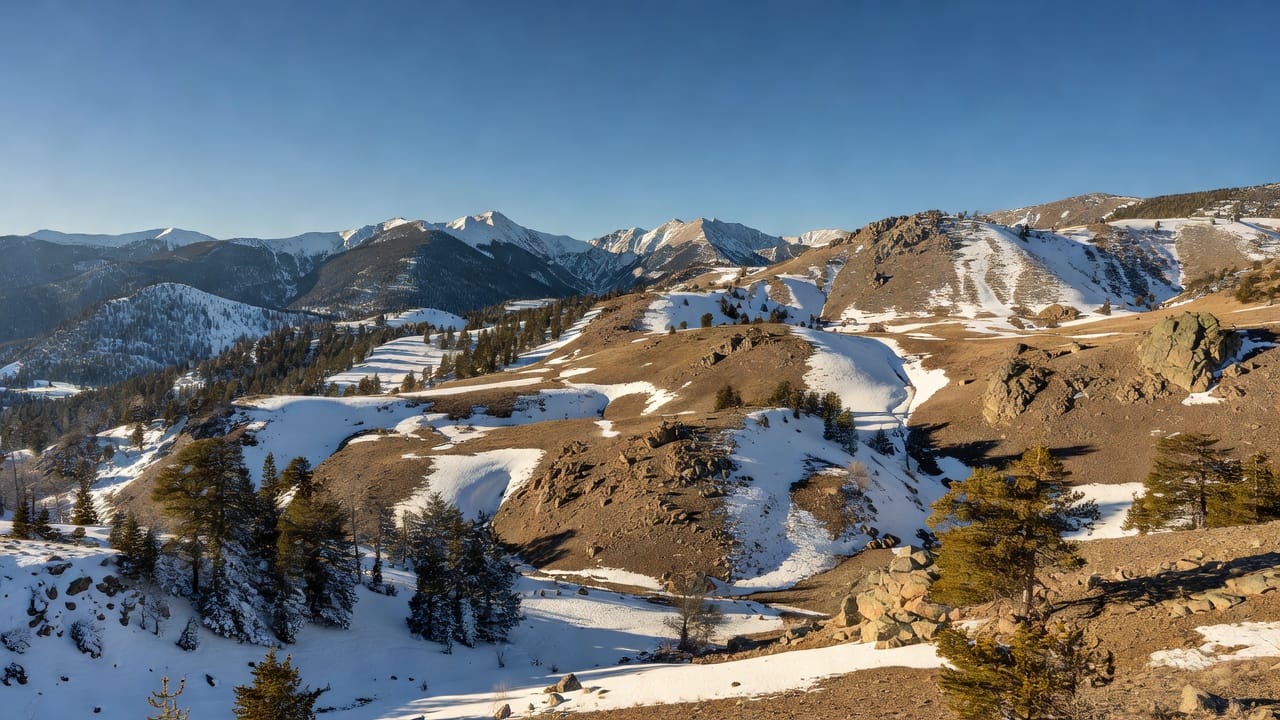
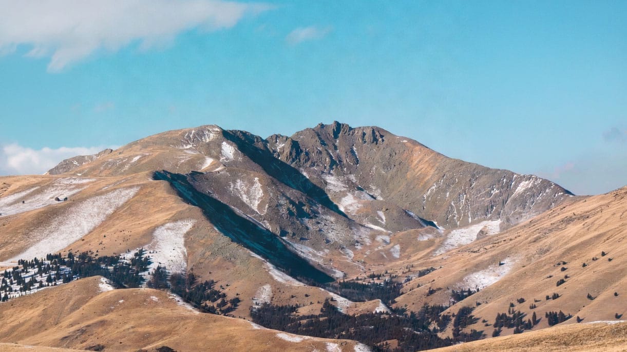
If you've been watching the weather in Colorado this winter, you already know something's off. Record warm temperatures and well-below-normal snowfall since October have pushed Colorado's snowpack to historic lows across multiple river basins.
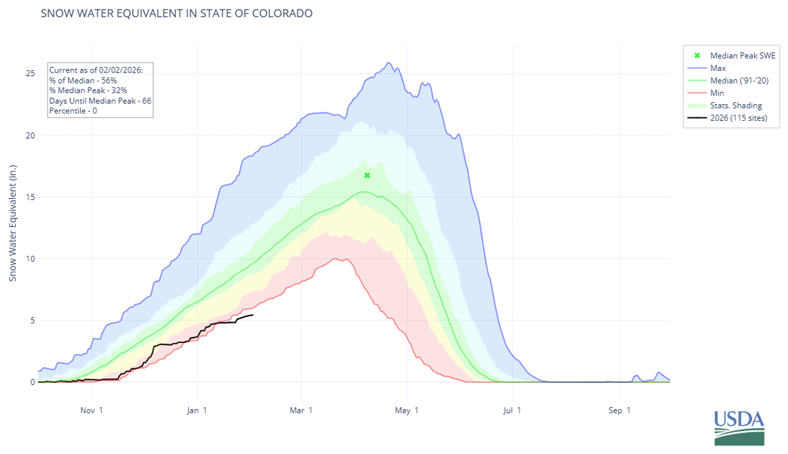
The BLACK LINE is THIS YEAR – 2025-2026 ...so far
The BLUE LINE is the Maximum from 1991-2020
The GREEN LINE is the Median Average from 1991-2020
The RED LINE is the Minimum from 1991-2020
According to the USDA Natural Resources Conservation Service (NRCS), statewide snowpack is currently sitting at just 55% of normal — and in some basins, like the Arkansas River basin, it's as low as 48%. Their February 1st report confirms this isn't a blip — it's a trend that's been building since the water year began on October 1st.
For most people, this is a ski resort story. For ADT hikers planning a 2026 thru-hike, it's something worth paying close attention to.
Here's what I'm watching — and what I think you should be watching too.
Water Sources Are Going to Be Unpredictable
Snowpack is the upstream bank account 💰 that fills Colorado's rivers, streams, and many of the natural water sources ADT hikers depend on through the Rocky Mountain and high desert sections. When that account starts the year nearly empty, the downstream effects ripple through late spring and into summer.
What that means practically: water sources that have historically been reliable in May and June may run dry earlier than usual this year, or may not recover to normal levels at all. Caches that volunteers maintain in drier sections can get stretched thin when more hikers are forced to rely on them because natural sources have dried up.
The NRCS is already forecasting below-normal streamflow across every major river basin in Colorado for the 2026 runoff season. That's not a projection to ignore.
This isn't a reason to panic — it's a reason to plan more carefully than usual. Before you hit any Colorado section this year, verify water availability through recent hiker reports. Don't rely on what a blog post from 2022 told you about a reliable creek. Verify it fresh, every time.
Heat Windows Are Shifting — and That Matters for Desert Sections
The same pattern driving the low snowpack — persistent warmth across the region — suggests the 2026 hiking season in Colorado and the surrounding desert sections may heat up faster and earlier than typical years.
For westbound hikers, this is worth building into your timeline. The Utah and Nevada desert sections that already test hikers in a normal year could be significantly more demanding if warm temperatures arrive earlier and linger longer.
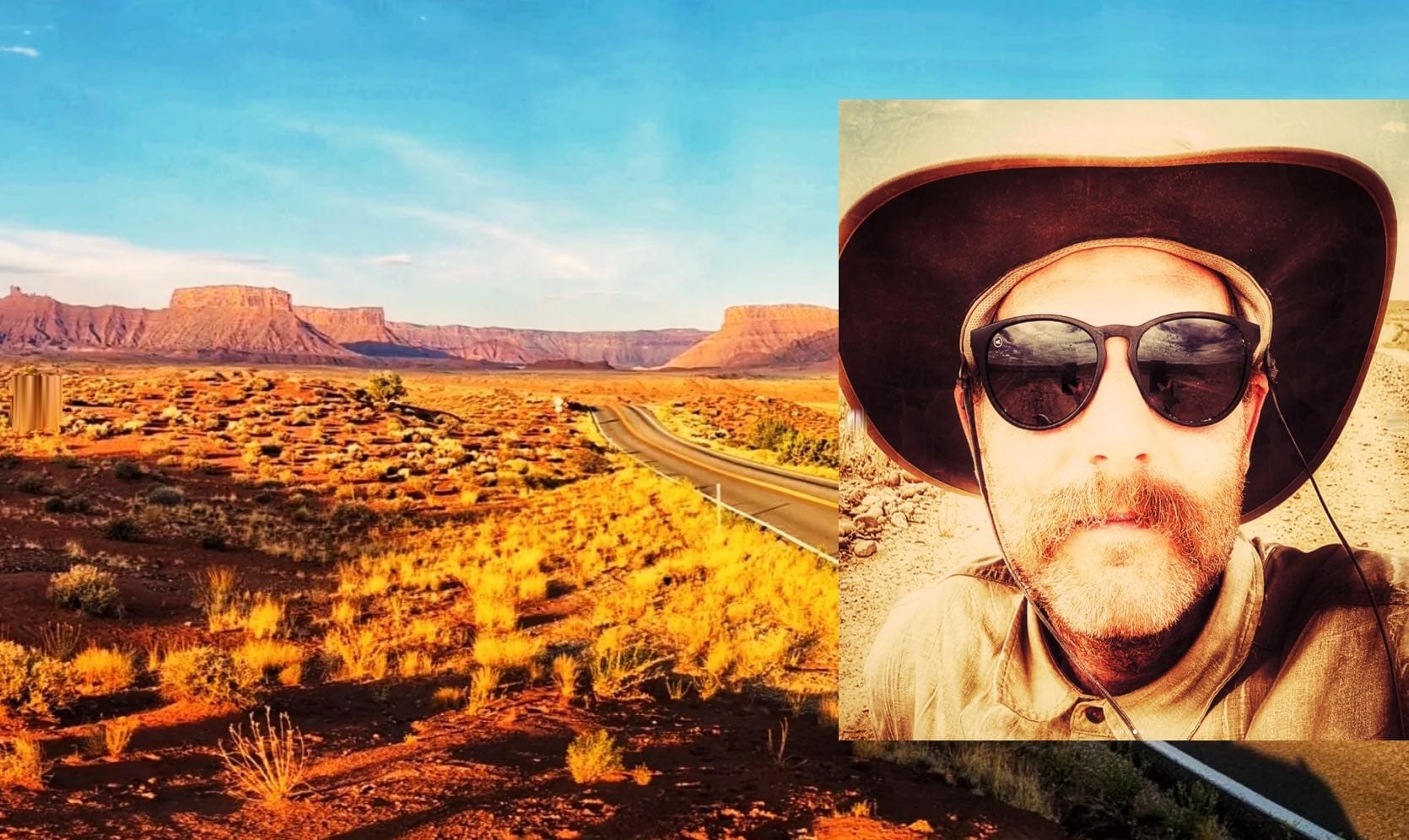
We saw what extreme desert heat did to 'Saunterin' Steve' Gefell's westbound hike last summer — three straight weeks above 100 degrees in Moab with no relief in sight is a real thing, not an edge case. In a year that started this warm, it's worth treating that scenario as a planning assumption rather than a contingency.
For eastbound hikers, the calculus flips. An earlier warm season could actually open up Colorado mountain sections sooner than expected — which might work in your favor if you time it right.
The point isn't to predict exactly what will happen. The point is to stay flexible and keep an eye on how conditions develop between now and your start date.
Sierra Crossing Timing May Be More Forgiving — With Caveats
Here's the counterintuitive part of a low-snowpack year: the Sierra Nevada crossing, which historically halts or delays eastbound hikers waiting for snowmelt, may be more accessible earlier in the season. Lower snowpack means lower snow accumulation to melt through, which could mean the high passes open up weeks ahead of schedule.
That sounds like good news, and it might be — but it comes with its own set of considerations. Low snow years often mean low water years in the Sierra as well, so water planning through those sections still requires attention. And early-season Sierra conditions can still be unpredictable even when the snow is thin.
If you're planning an eastbound hike and have been building your timeline around a June Sierra crossing, it's worth checking current Sierra snowpack data as spring approaches. You may have more flexibility than you think — or you may need to adjust for different conditions than a typical year brings.
This Is Exactly Why Dual-Directional Flexibility Matters
I'll be direct about something: the conditions shaping up for 2026 are a good illustration of why rigid, one-directional planning carries real risk on the ADT.
When Steve flipped his direction last August to escape Utah's heat, he didn't do it because he gave up. He did it because he had navigation data that made it possible to adapt without losing his thru-hike. That's the practical value of dual-directional planning — not as a theoretical option, but as a real tool you might actually need.
In a year with unusual conditions like this one, building flexibility into your plan from the start isn't overthinking it. It's just smart preparation.
What to Do With This Information — and Where to Stay Current
You don't need to rebuild your entire plan around a single winter's weather report. But here's what I'd suggest as practical next steps.
Bookmark two pages right now and check them regularly as spring approaches:
The USDA NRCS Colorado Snow Survey at nrcs.usda.gov/colorado/snow-survey is the live data hub — updated continuously through their SNOTEL station network across the state. You can track snowpack basin by basin, which matters because conditions vary significantly between, say, the Colorado Headwaters and the Arkansas River basin.
Their monthly Water Supply Outlook Reports, published in the first week of each month, give you the clearest available picture of what the runoff season is likely to look like. The February report is already out, and the picture it paints is sobering — below-normal streamflow forecast across the entire state.
Beyond those two resources, Hiking America tracks water-source conditions across all ADT states and provides updates as we receive information from government sources and hikers in the field.
If you're a member, keep an eye on your inbox, or follow us on Substack or our Facebook Group. And if you haven't already mapped out your directional options and timing windows, now is a good time to do that work before you're making those decisions from the trail. ⛰️
The trail is still worth walking. The conditions just deserve a closer look this year than most.
Hike Your Hike - John.
I'm Hiking America Credential Badge
Recognized by trail angels, hostels, and fellow hikers nationwide!
Get your Custom Hiking America Hiker Tag!
Only $19 for a Limited Time!
Always Free to Hiking America Members.
