
Start Here: Hiking America!

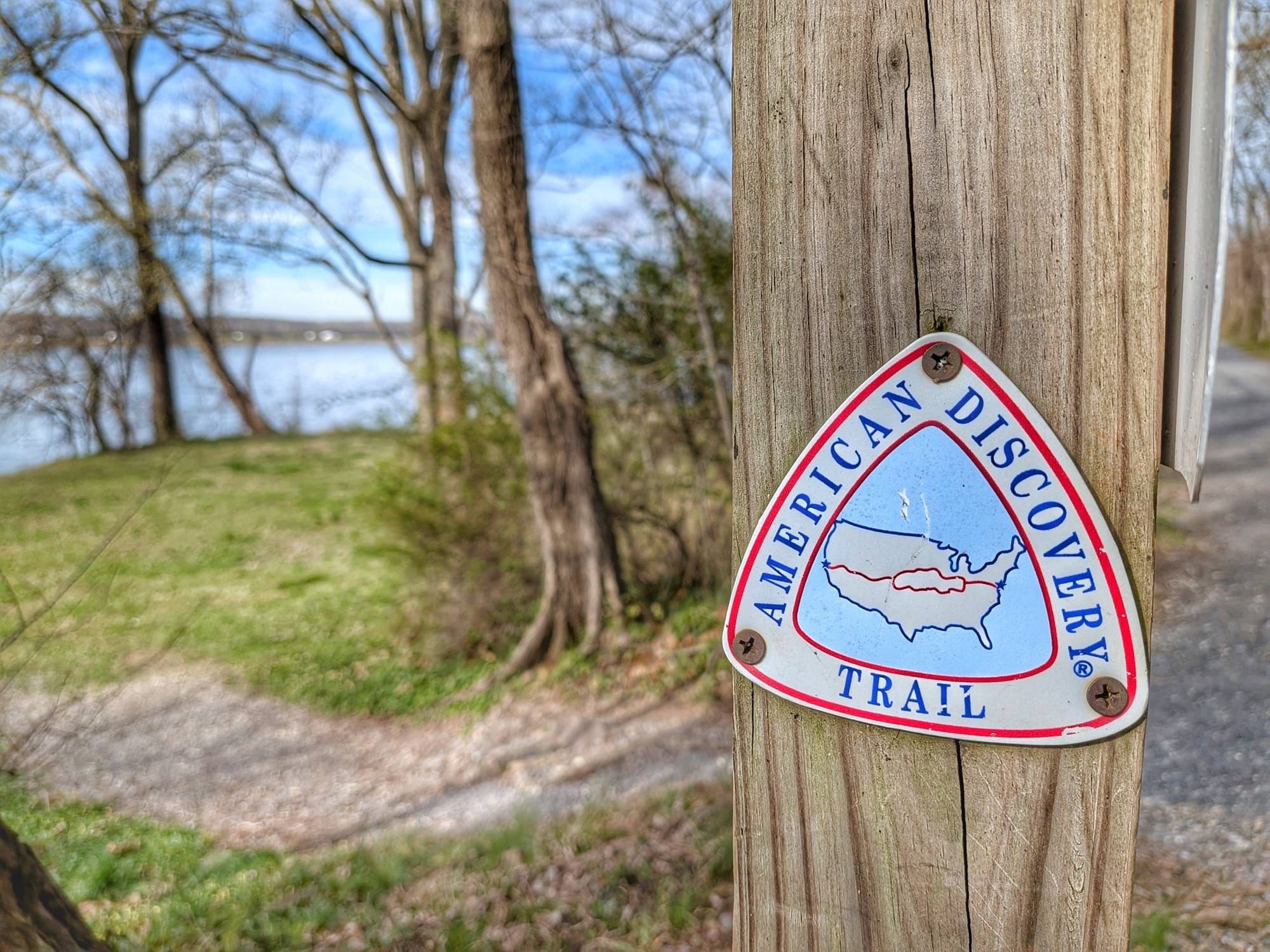

You're standing at the start of a 6,800-mile question: how do you navigate a coast-to-coast route that runs through backcountry, farm roads, and river towns, and that goes largely unmarked for most of its length? Blazes and signs are sparse out here — the route is simply too long and too patched-together from roads and connectors for consistent marking.
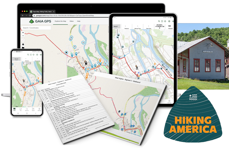
That's the problem Hiking America exists to solve. We build and maintain the navigation — dual-direction turn-by-turn guides, Gaia GPS data, and thousands of Hiker Notes — so your attention goes to the walk instead of your next turn.
Most of what's scattered across forums and old blog posts is fragmented, contradictory, or years out of date. What we offer is one source, built specifically for this route, and updated continuously as conditions change on the ground.
Navigation built for this trail, not borrowed from somewhere else
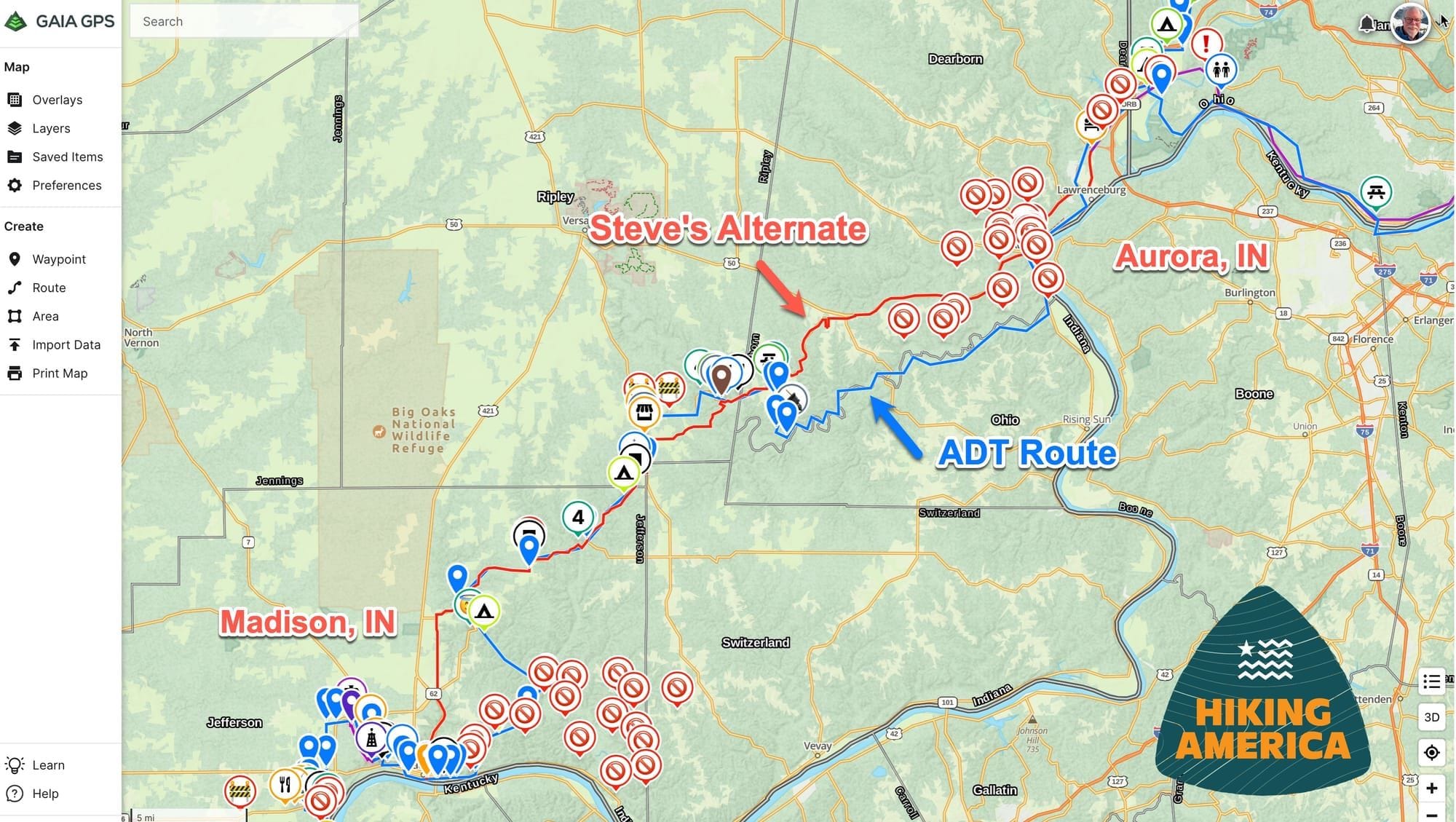
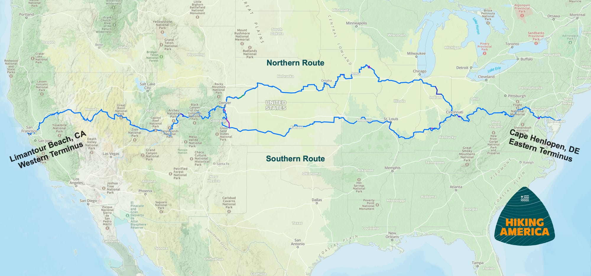
General hiking apps treat the American Discovery Trail as an afterthought — incomplete tracks, waypoints from years ago, gaps right where you need detail. Our GPS data is purpose-built. The turn-by-turn guides and Gaia GPS files cover the full coast-to-coast route, including the northern and southern options, and they're annotated with the things that actually decide your day: water, resupply, road crossings, and the route choices that aren't obvious from a map.
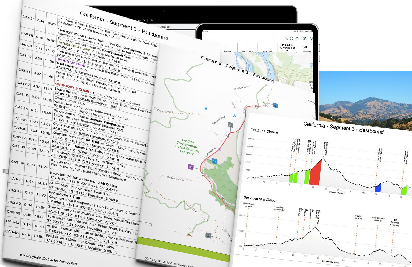
Dual-direction guides, so a change of plans doesn't end your hike
Most long trails assume you walk one way. This one doesn't — and weather, fire, and snow rarely cooperate with a fixed plan. Our data works in both directions, westbound or eastbound, which means you can flip your direction mid-trail without piecing together reversed mileage and waypoint sequences in your head.
It's not theoretical. When desert heat in Utah became unsafe, Steve Gefell jumped to the western terminus and walked back toward cooler conditions — and finished the whole trail. The navigation followed him in either direction.
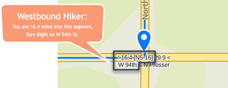
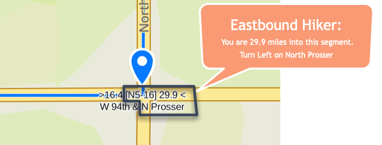
Dual-Directions waypoints indicate mileage and turn information for hikers no matter in which direction they are traveling.
Thousands of Hiker Notes, kept current
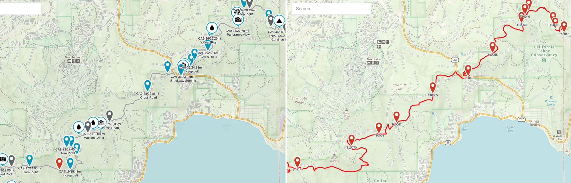
A map tells you where the trail goes. It doesn't tell you the spring is dry, the bridge is out, or the café closed last winter. That's what the Hiker Notes and water reports are for — field intelligence from current and past hikers, layered onto the GPS data and refined as new reports come in.
This is the part that separates us from anything free. We added 258 new waypoints in a single recent stretch, and we've been building comprehensive resupply data for the entire route. The updates keep coming as hikers report from the trail — like three hikers and a Colorado running dry this June, or a city surprise and two detours in Kansas. If that's the kind of current, on-the-ground intel you want for your own hike, it's all in the subscription.
When the trail disappears, real-time matters
The honest case for digital navigation isn't convenience — it's the day your printed directions fail. When floodwaters closed a key crossing, we rerouted a thru-hiker around it within hours while paper maps would have left them stranded. Technology can fail too, which is why the system works in layers: offline Gaia GPS files, turn-by-turn guides, and waypoints you can follow even when cell service drops to nothing.
Plan your route, state by state
The trail crosses fifteen states, and each one asks something different of you. We break it down so you can plan in pieces instead of all at once — start with Delaware in the east or California in the west, and work through the states between, including the long stretches across Kansas, Utah, and Ohio. When your start date gets close, this is what actually matters in your final month of preparation — and this gear held up where it counts.
Sizing up the climbing on that segment?
Run it through the Elevation Gain Calculator.
Headed for the Great American Rail-Trail too?
If the rail-trail route across the country is on your radar, we cover that as well. Start with Hiking America on the Great American Rail-Trail, then read why it isn't just a bike trail — there's more to walking it than the maps suggest.
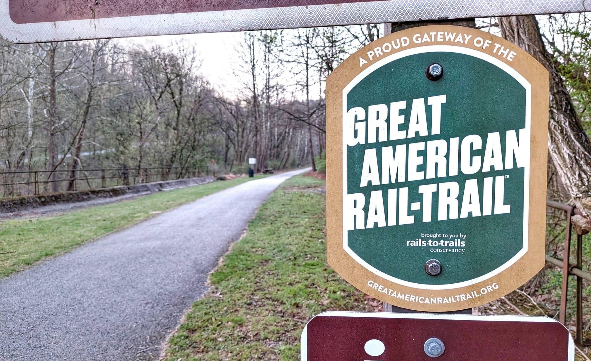
See how it compares to the ADT.
What it costs, and how to start
Access to the full navigation toolkit — dual-direction turn-by-turn guides, Gaia GPS data, and the Hiker Notes layer — is $7 a month or $70 a year. That's less than a single guidebook that goes stale the day it prints, for navigation that updates all season long.
If you're closer to the planning stage than the trailhead, that's fine — the tools will be here when you're ready, and they'll be more complete than they are today. If this is the resource you've been looking for, subscribe and start mapping your hike. Either way, you don't have to figure this trail out alone. ⛰️
