
Northern Indiana on the American Discovery Trail

Indiana · Northern Route
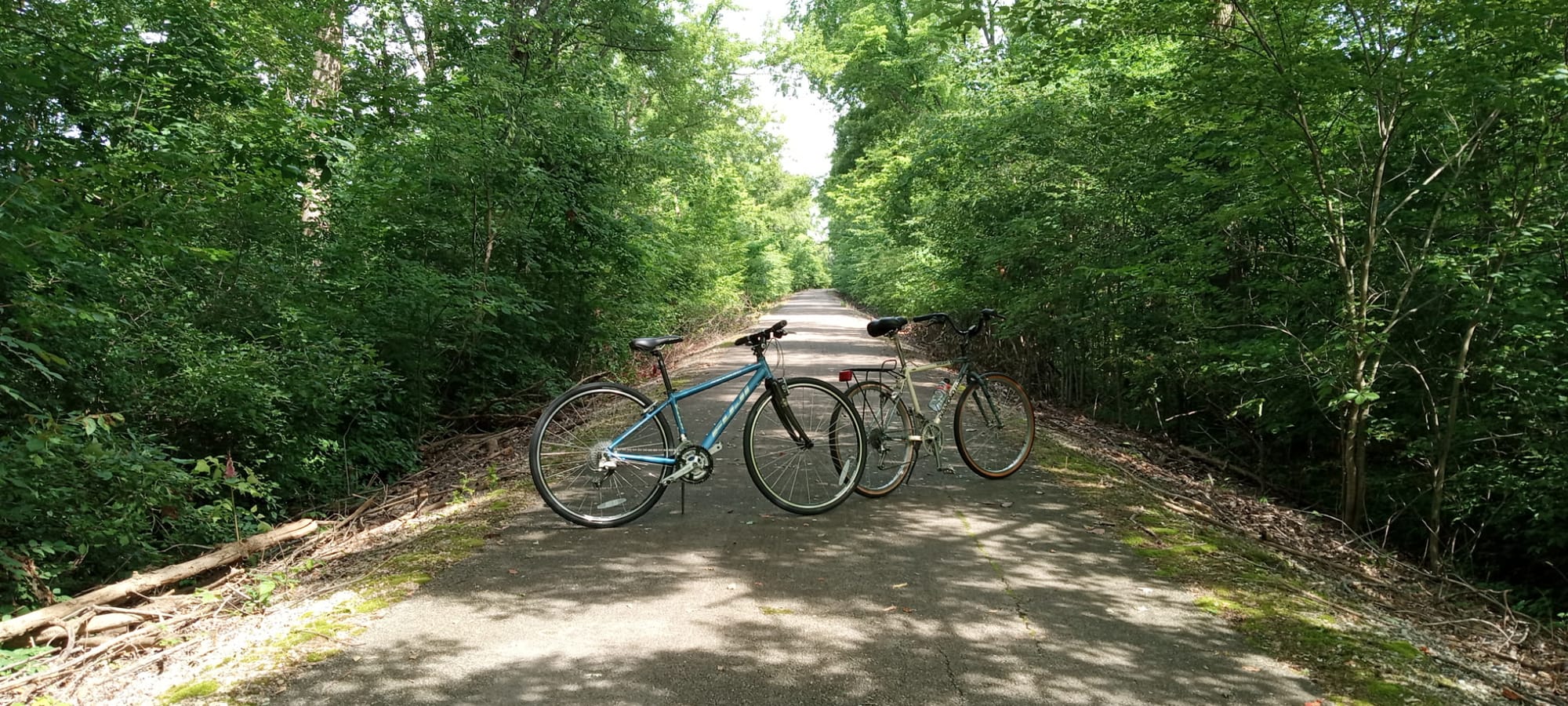
Northern Indiana carries the American Discovery Trail's northern route about 247 miles across the top of the state, between the Illinois line in the Chicago suburbs and the Ohio line at Richmond. It is a rail-trail crossing: four converted rail corridors carry most of the route, flat and paved, linking the industrial edge of the Calumet Region, the Wabash and Mississinewa river country, and the farm towns of the east-central prairie.
Four trails do the work: the Erie Lackawanna Trail through the Region towns in the west, the North Judson Erie Trail with its 10-mile scale model of the solar system, the Nickel Plate Trail through circus-town Peru, and the Cardinal Greenway, Indiana's longest rail-trail, linking Marion, Muncie, and Richmond in the east. Where the north is flat, paved, and town-to-town, the state's southern route is knob country.
Segment Guides
The Region and the Erie Lackawanna Trail
The western end sits in the Calumet Region, the industrial belt of Chicago's Indiana suburbs. The Pennsy Greenway carries the route off the Illinois line at Munster, and the Erie Lackawanna Trail, a paved rail-trail, strings together the Region towns of Highland, Griffith, Schererville, and Merrillville. Crown Point anchors the middle of Lake County, its 1878 courthouse still standing at the center of the old square, the town nicknamed for the marriages once granted there without a waiting period. Past the suburban edge the trail thins into farm country toward Hebron and Kouts, on quiet county roads and old rail grade.
The North Judson Erie Trail and a Walkable Solar System
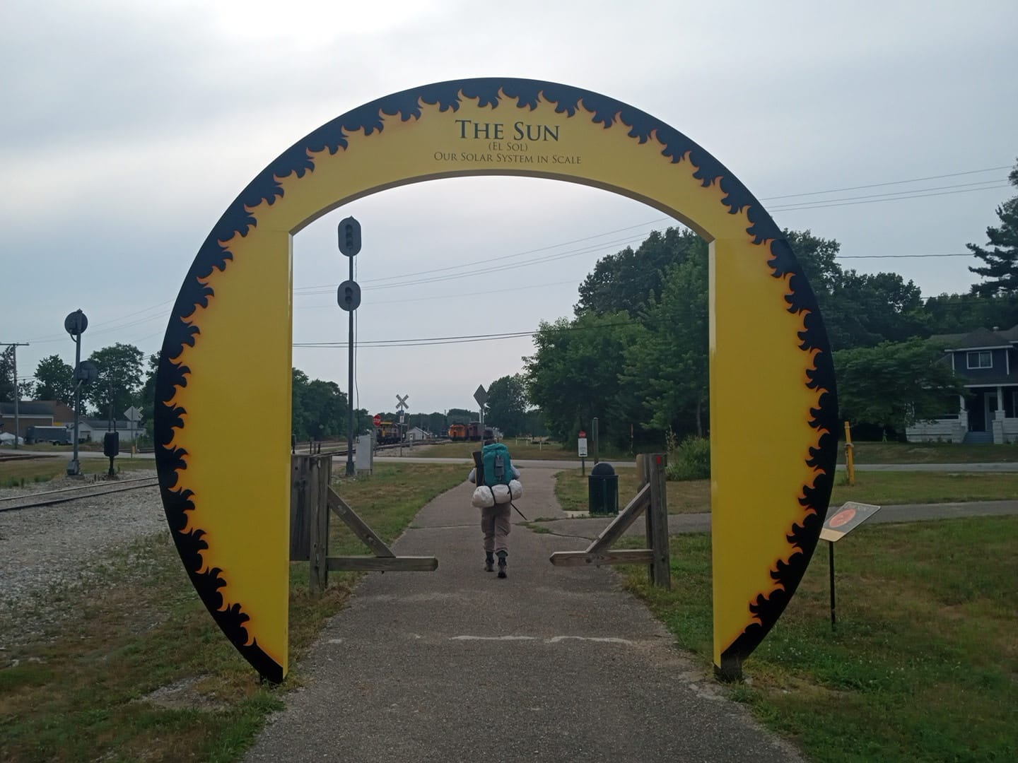
North Judson, in Starke County, is a rail-junction town where the North Judson Erie Trail runs east across the flat Kankakee lowlands. The trail carries Our Solar System in Scale, a set of trailside markers that lay out the sun and planets at a scale of one to 355 million over roughly 10 miles: a steel archway for the Sun, then Mercury, Venus, and Earth close together, and long empty stretches out to Neptune. The Central–Eastern time-zone line falls in this stretch, at the Starke–Pulaski county boundary, so a watch gains or loses an hour mid-walk. Tippecanoe River State Park sits near the eastern side, the one large block of public land on the northern route.
The Nickel Plate Trail and Peru
Rochester, the Fulton County seat, is the northern end of the Nickel Plate Trail, a paved rail-trail down the old Nickel Plate line through Macy, Denver, and a string of former rail sidings (Leonda, Courter, Doyle) now just clusters of houses with the depots long gone. Peru sits on the Wabash River, the winter quarters of the Ringling Brothers and other circuses for decades and still billed as Circus City, and the birthplace of the songwriter Cole Porter, buried in the family plot at Mount Hope Cemetery. South of Peru the Converse Junction Trail and Sweetser Switch Trail carry the route toward the Cardinal Greenway, past the Sweetser trailhead with its restored railcars and its statue of Garfield, the comic-strip cat drawn by an Indiana native.
The Cardinal Greenway
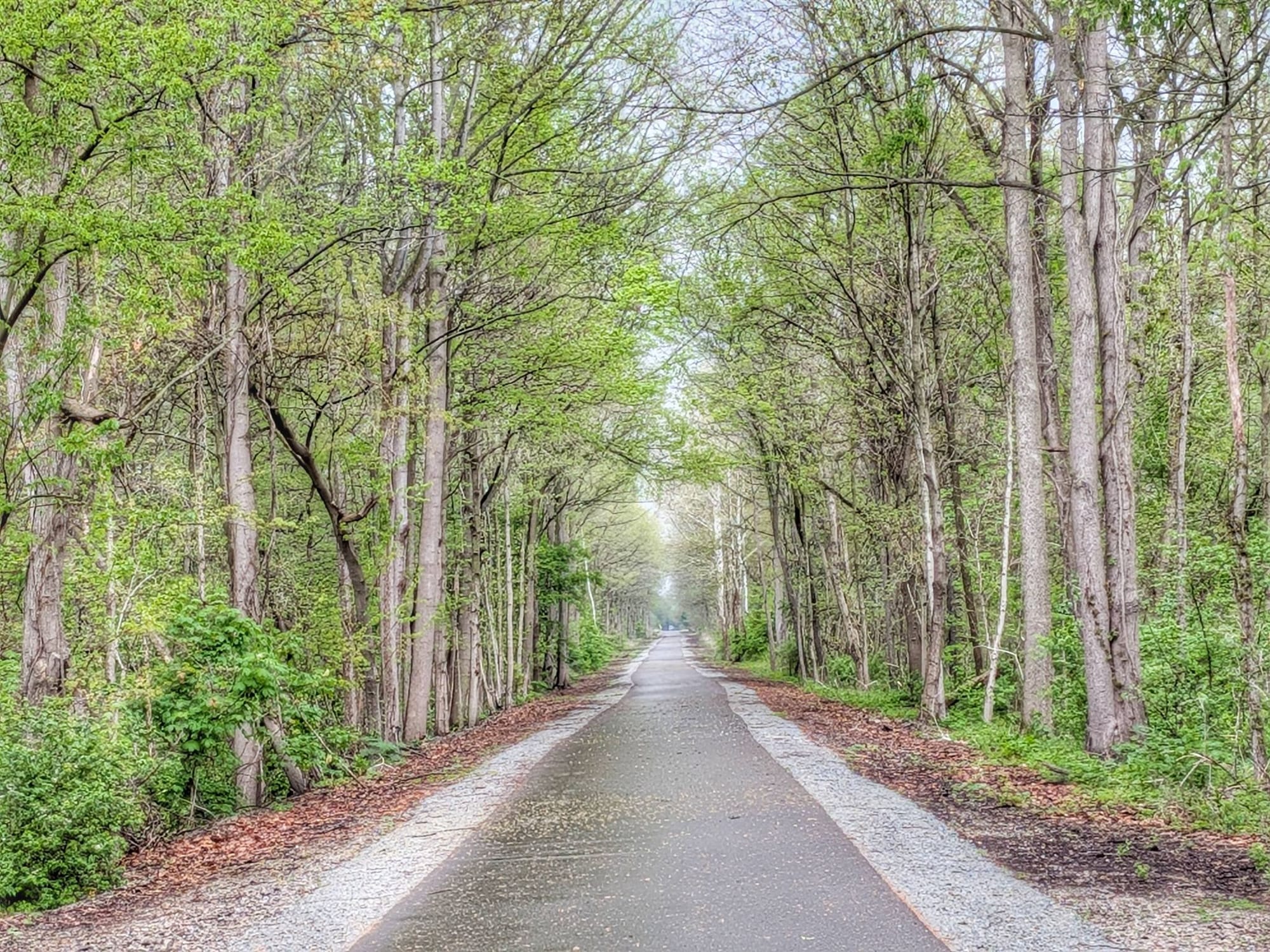
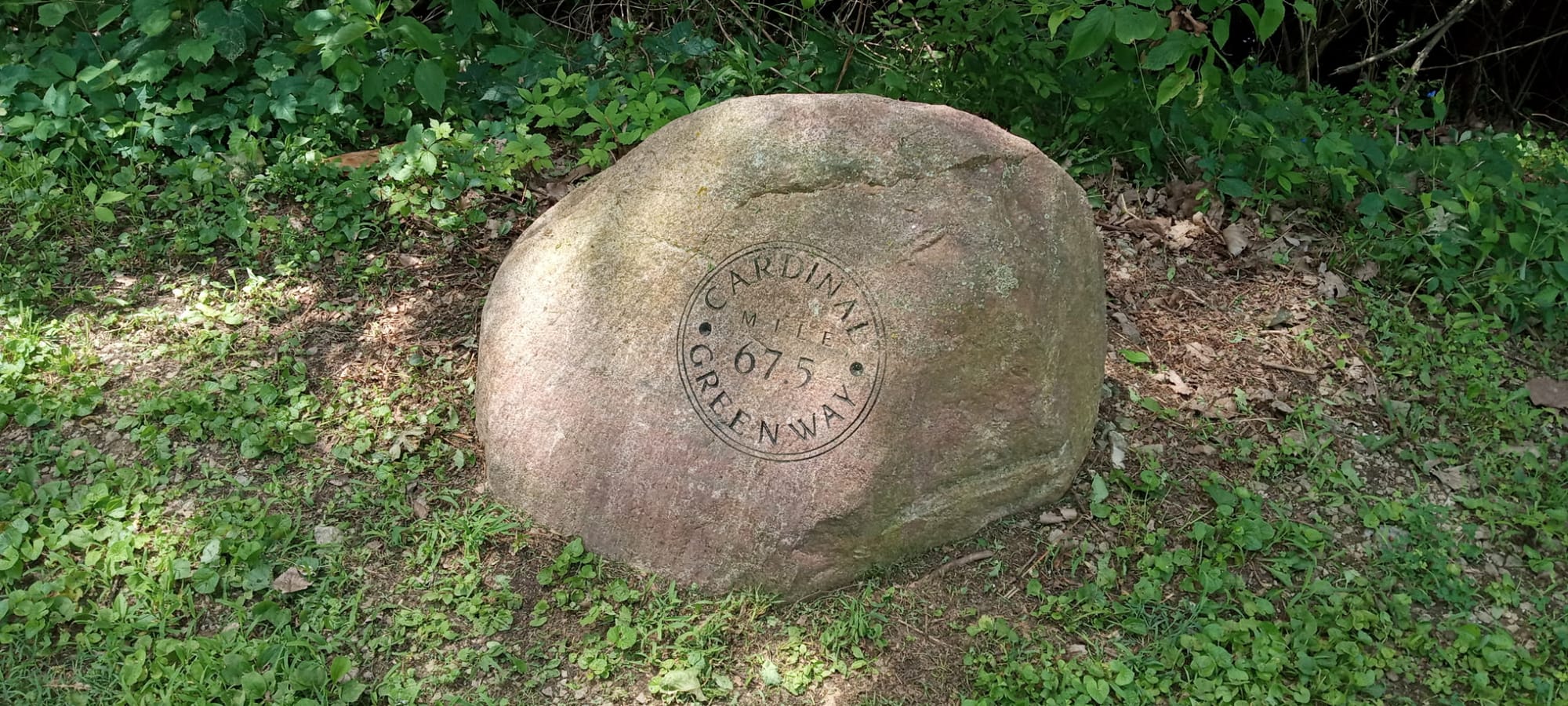
The Cardinal Greenway is Indiana's longest rail-trail, about 62 paved miles on the old Chesapeake & Ohio corridor between Marion and Richmond, marked in half-mile stones and carried over its rivers on arched steel bridges. One gap breaks it: between Gas City and Jonesboro and the town of Gaston, roughly 15 miles of the corridor stayed in private hands, so the route follows county roads (Wheeling Pike and its neighbors) until the rail-trail resumes. That road stretch passes Matthews, where the Cumberland Covered Bridge, built in 1877 and 181 feet long, crosses the Mississinewa River on the National Register of Historic Places.
Muncie and the White River
Muncie is the largest city on the eastern half, where the Cardinal Greenway meets the White River Greenway and the Wysor Street Depot serves as the trail's headquarters. The Ball family built much of the city: the Ball Corporation and its glass canning jars, and Ball State University, which the family endowed. Minnetrista, on the river, houses the Bob Ross Experience in the studio where the painter filmed his television show for public broadcasting. South and east of Muncie the greenway climbs gently to Losantville, the high point of the trail, then runs down toward Richmond through the farm towns of Economy, Williamsburg, and Webster.
Richmond and the Whitewater Gorge
Richmond, in Wayne County near the Ohio line, is where the Cardinal Greenway joins the Whitewater Gorge Trail through a wooded ravine below downtown. The gorge holds the site of the Starr Piano Company and its Gennett recording studio, where in the 1920s Louis Armstrong, Jelly Roll Morton, and Hoagy Carmichael cut some of the earliest jazz records, the reason Richmond is called a cradle of recorded jazz, marked now by a walk of fame in the park. Thistlethwaite Falls, a manmade cascade built to power a nineteenth-century sawmill, sits a short way off the route. The State Line Road crossing east of town ends the Indiana miles, where the northern route continues into Preble County, Ohio.
Timing and Terrain
The grade is the easy part: the Cardinal Greenway never exceeds three percent, and the other rail-trails are flatter still, so the northern route asks far less of the legs than the state's southern knobs. But the corridors run exposed: long paved miles through open farmland with thin shade, hot and humid summers, and little water on the trails themselves. The Cardinal Greenway has drinking fountains at only a couple of trailheads, and ticks and poison ivy line the edges. The 15-mile road walk on Wheeling Pike is the one stretch with real traffic. Spring and fall are the kinder seasons; there is no high country here to gate a hiking window.
Water, Resupply, and Camping
Resupply is frequent, town-to-town rail-trail country rather than the remote forest of the south. The Region has everything, and Crown Point, Rochester, Peru, Marion, Muncie, and Richmond are full-service stops, with a steady run of smaller towns and convenience stores between. Camping is harder: little public forest lines a rail-trail, so nights lean on trailhead pavilions, town parks, and the hospitality of churches, American Legion posts, and local trail angels, all of it detailed in the segment guides. Tippecanoe River State Park and a handful of private campgrounds anchor the developed nights on the western half.
What a Northern Indiana Crossing Looks Like
A rail-trail state, flat and paved and threaded with oddities: a walkable model of the solar system, a town that wintered the circus, the studio where Bob Ross painted, and the gorge where jazz was first pressed to shellac. The walking is gentle and the towns come often, which makes northern Indiana one of the more forgiving crossings on the whole trail. 🥾🌲