
Kansas on the American Discovery Trail
Kansas · Southern Route
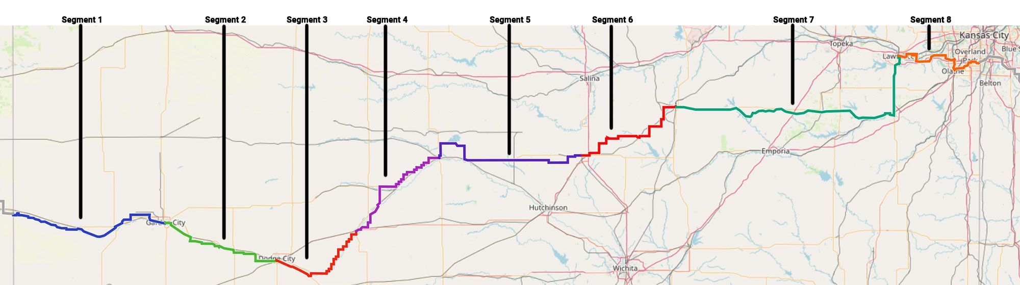
Kansas carries the American Discovery Trail's southern route 573.8 miles between the Colorado line at Coolidge and the Missouri line at Leawood, the longest crossing of any state on the trail. It is also the state that changes most from one end to the other: high, dry shortgrass plains at 3,340 feet in the west, tallgrass prairie and rail-trail in the east, and the suburbs of Kansas City at the far edge.
The western two-thirds trace the Santa Fe Trail through Dodge City, Fort Larned, and the marshes of Cheyenne Bottoms, mostly on county roads and highway shoulder. The eastern third rides the Flint Hills Trail State Park, at 118 miles the longest rail-trail in Kansas, and a chain of paved greenways through Lawrence, Olathe, and Overland Park.
Segment Guides
The High Plains and the Arkansas River
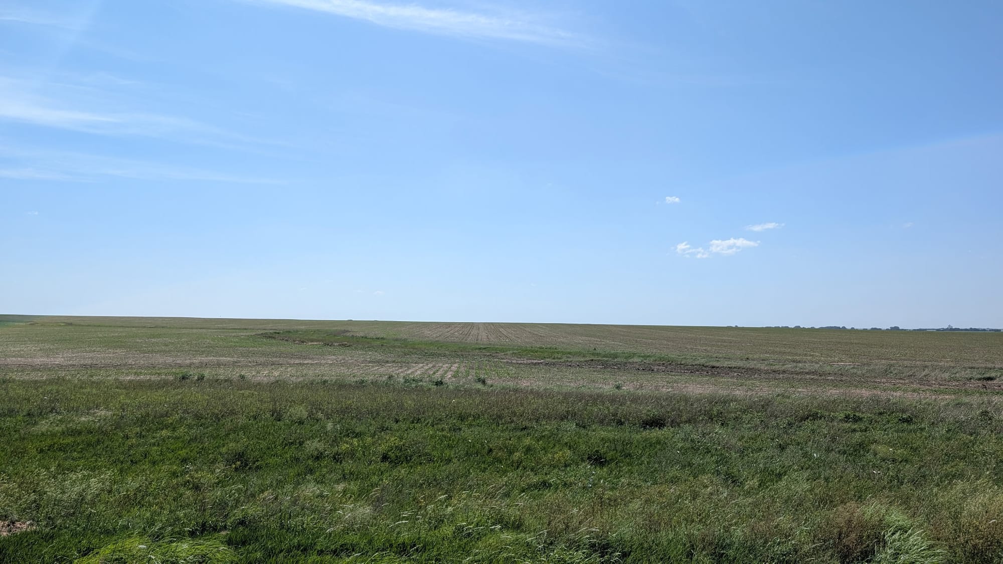
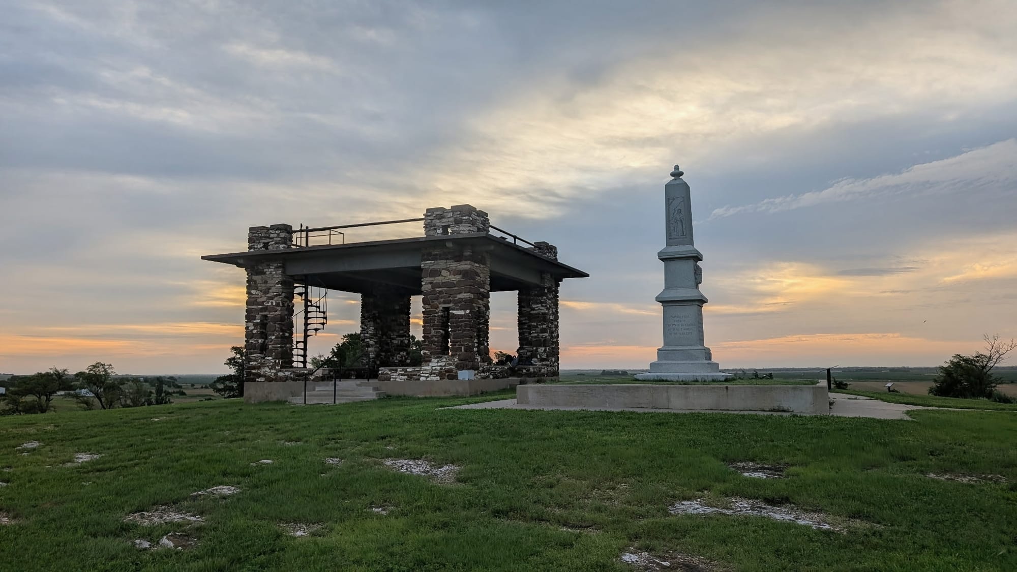
At the Colorado line near Coolidge the trail sits at about 3,340 feet, the highest ground in Kansas the route touches, on county roads above the Arkansas River. The river here is usually a dry bed of sand and cottonwood, drained upstream by irrigation, and hikers have been known to camp in it. Syracuse, Lakin, Deerfield, and Holcomb are the towns, spaced roughly a day apart, and the Kearny County Museum in Lakin sits directly on the route. North of Syracuse, Indian Mound rises above the riverbed with a rose granite Santa Fe Trail marker on top and a short trail to the summit; the mound was the landmark that told wagon traffic whether it was on the Mountain Route or the Cimarron Route. Lake McKinney, an irrigation reservoir, gives a few shaded miles of shoreline road before the feedlots and grain elevators of Garden City.
Santa Fe Trail Country
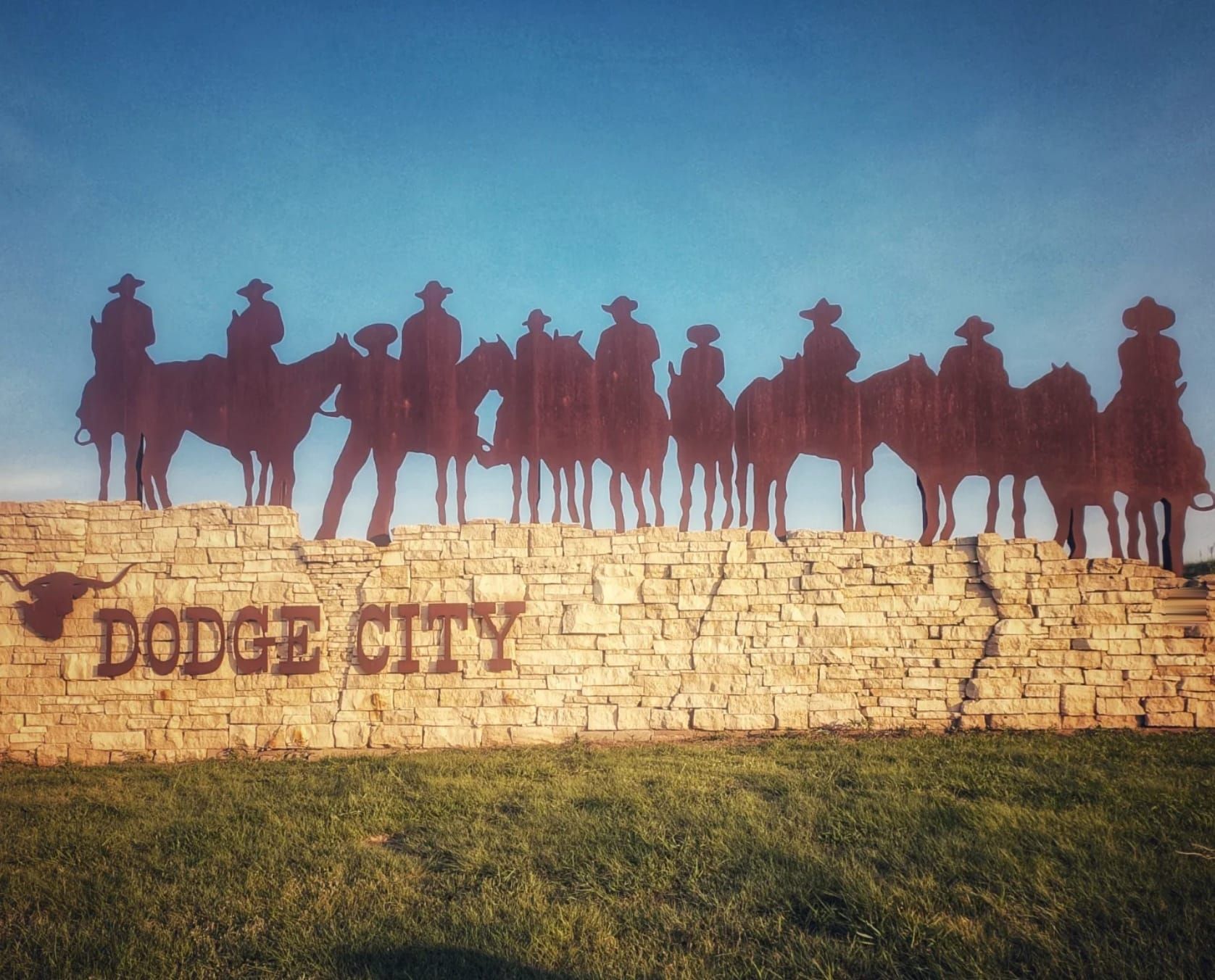
Between Garden City and Dodge City the route runs the old freight corridor itself. Cimarron Crossing Park marks where wagons forded the Arkansas to pick up the Cimarron Cutoff, the shorter and drier of the two Santa Fe Trail branches. West of Dodge City, the Santa Fe Trail Remains preserve a continuous two-mile stretch of wagon ruts, the longest clearly defined rutted segment in Kansas and a National Historic Landmark since 1963. Dodge City itself is the biggest resupply between Garden City and Great Bend, with Boot Hill Museum and the Wyatt Earp trade a short walk north of the trail. Ruts, swales, and DAR granite markers keep showing up in the fields for another hundred miles east of here.
Midway USA
Kinsley, at the junction of US 50 and US 56, is 1,561 miles from New York and 1,561 miles from San Francisco, a coincidence the Saturday Evening Post put on its cover in 1939 and the town has run with ever since. The sign, an old Santa Fe locomotive, and the free Edwards County Historical Society Museum with its enclosed sod house all sit in the roadside park on the west edge of town. For an ADT hiker the halfway math does not work out, but it is a good place to sit down.
Fort Larned and Pawnee Rock
Fort Larned National Historic Site, four tenths of a mile off the trail, is one of the best-preserved frontier posts in the country: nine original 1860s sandstone buildings around a parade ground, free entry, water, restrooms, and air conditioning. The Santa Fe Trail Center museum sits nearby outside Larned. Pawnee Rock, a sandstone bluff above the old wagon route where travelers carved their names, stands a short distance south of the trail with a small state historic site on top and views across the Arkansas valley. Wagon-wheel ruts are visible in the ground between Larned and Great Bend, and roadside markers name the Battle of Coon Creek and Sibley's 1825 survey camp.
Cheyenne Bottoms and the Central Marshes
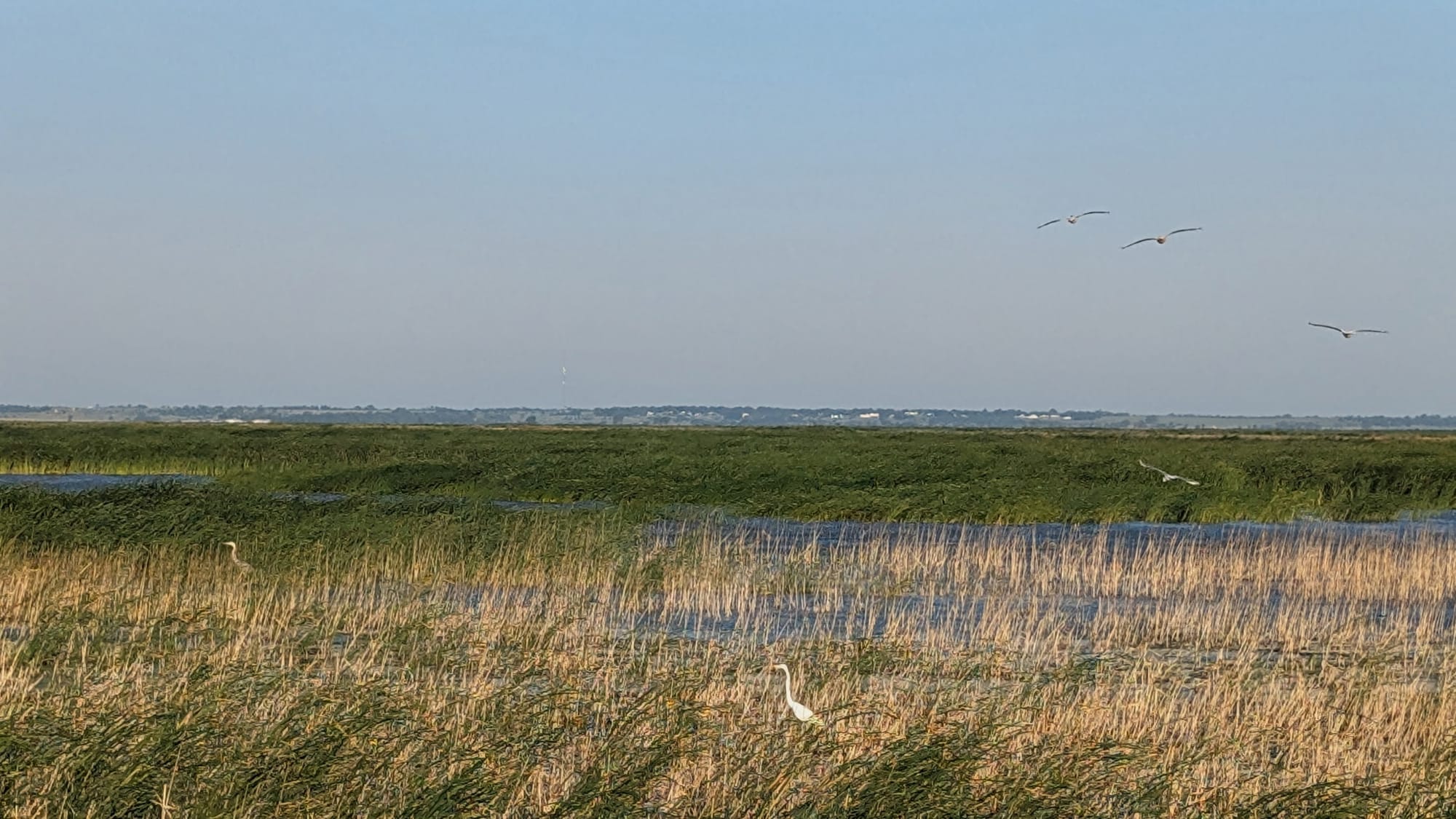
Northeast of Great Bend the route crosses Cheyenne Bottoms, a 41,000-acre natural land sink and the largest inland marsh in the United States, designated a Wetland of International Importance. It sits on the Central Flyway, and something on the order of half the continent's shorebird population passes through in migration; 356 of the 482 bird species recorded in Kansas have been seen here. Dike roads carry the trail across the pools, with a primitive campground and pit toilets inside the wildlife area. A shortcut on the highway saves 7.6 miles and skips the marsh entirely, and it is in the guide, but it trades the best wildlife on the route for pavement. East of the Bottoms, Ellinwood, Chase, Lyons, and Little River are small grain towns strung along Iron Horse Road and the county grid, with Ralph's Ruts, another set of preserved Santa Fe Trail swales, near Chase.
The McPherson Ridge and the Cottonwood
McPherson is a real town with a full grocery, a museum, and a state fishing lake a few miles north where hikers camp. The bison herd at the wildlife refuge next to that lake ranges free on Pueblo Road, and the guide flags it. East of McPherson the Sunflower Trail alternate runs a shaded path toward Galva, and the country tilts up into the low, hard-limestone ridges that mark the western edge of the Flint Hills. Durham, Tampa, and Ramona are one-block towns with a post office, a park shelter, and often an outlet. The Cottonwood River crossing near Durham was one of the hard fords on the Santa Fe Trail, its bank marked by a single towering "Marker Cottonwood" visible for miles over the grass.
The Flint Hills Trail
Herington is the western terminus of Flint Hills Trail State Park, 118 miles of railbanked Missouri Pacific corridor between here and Osawatomie, the longest rail-trail in Kansas and one of the longest in the country. The ADT rides 90-some miles of it. The 25 miles from Herington to Council Grove are still original railroad ballast rather than crushed limestone, rough and unimproved, and the guide routes around the worst of it; from Council Grove east, the surface is finished and the walking is easy. Council Grove was the last outfitting point on the Santa Fe Trail, and the town wears it: the 1857 Last Chance Store, the Kaw Mission, and the preserved stump of the Post Office Oak, where traders left messages in a cache at the base of the tree from 1825 to 1847. East of there, the trail runs the tallgrass through Bushong, Allen, and Admire, drops into Osage City, and threads Vassar and Pomona near Pomona Lake. At Ottawa's Legacy Square, the Flint Hills Trail meets the Prairie Spirit Trail, and the ADT leaves the rail corridor north through Baldwin City for Lawrence.

Lawrence to the State Line
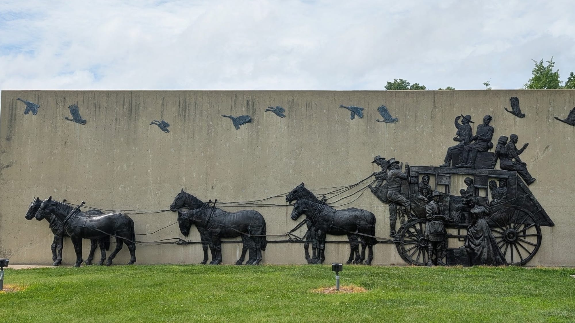
The eastern end is a chain of paved greenway. The Lawrence Levee Trail runs the Kansas River dike out of town, and beyond Eudora and De Soto the Kill Creek and Mill Creek streamway trails carry the route through Johnson County almost entirely off-road. In Olathe the Mahaffie Stagecoach Stop, the last working stagecoach stop left on the Santa Fe Trail, sits on the trail. The Indian Creek Trail then runs a wooded corridor through Overland Park and Leawood to the Missouri line. It is city walking with good pavement, water, benches, and food every mile or two, and it is a genuinely different kind of day from anything west of Council Grove.
Timing and Terrain
Kansas has no elevation to gate a season and no shade to speak of for the first 400 miles. Summer is the constraint: high heat, humidity in the east, and long exposed stretches of county road with no tree from one town to the next. Spring and fall are the windows, and spring brings the birds to Cheyenne Bottoms. Storms build fast and there is nowhere to get away from them; the county grid offers grain bins, culverts, and town shelters and not much else. The unimproved ballast between Herington and Council Grove is slow, and the western dirt roads turn to gumbo mud in rain. Wind is constant and usually out of the south or southwest.
Water, Resupply, and Camping
Water is the western problem. The Arkansas River is dry, and the gaps between towns run long enough that hikers carry a full day. Windmill troughs, cemetery spigots, and fire stations fill in, and the guide has them by coordinate. Resupply anchors are Garden City, Dodge City, Great Bend, McPherson, Ottawa, and Lawrence, with a full grocery in each; between them, Dollar Generals and convenience stores in the small towns. Camping is town-park camping for most of the crossing. Kansas small towns are unusually generous about it, and the guide notes which parks have a shelter, an outlet, and a working spigot. Cheyenne Bottoms has a primitive campground, McPherson State Fishing Lake has shade and grass, and the Flint Hills Trail has trailhead camping and pit toilets at Admire, Bushong, Miller, and Pomona. The Johnson County greenways at the eastern end have almost no legal camping, and hikers usually push through to a motel.
What a Kansas Crossing Looks Like
Two and a half weeks, give or take, and the longest state on the trail. The first 400 miles are the Santa Fe Trail: wagon ruts in wheat stubble, a frontier fort with its original sandstone, the biggest inland marsh in the country, and county roads running dead straight to a horizon that does not move. Then Herington, and the last 180 miles are rail-trail and greenway through tallgrass and river bluff to the edge of Kansas City. Hikers arrive expecting to endure Kansas and leave talking about the town parks, the marsh, and the Flint Hills. 🥾🌾