
West Virginia on the American Discovery Trail
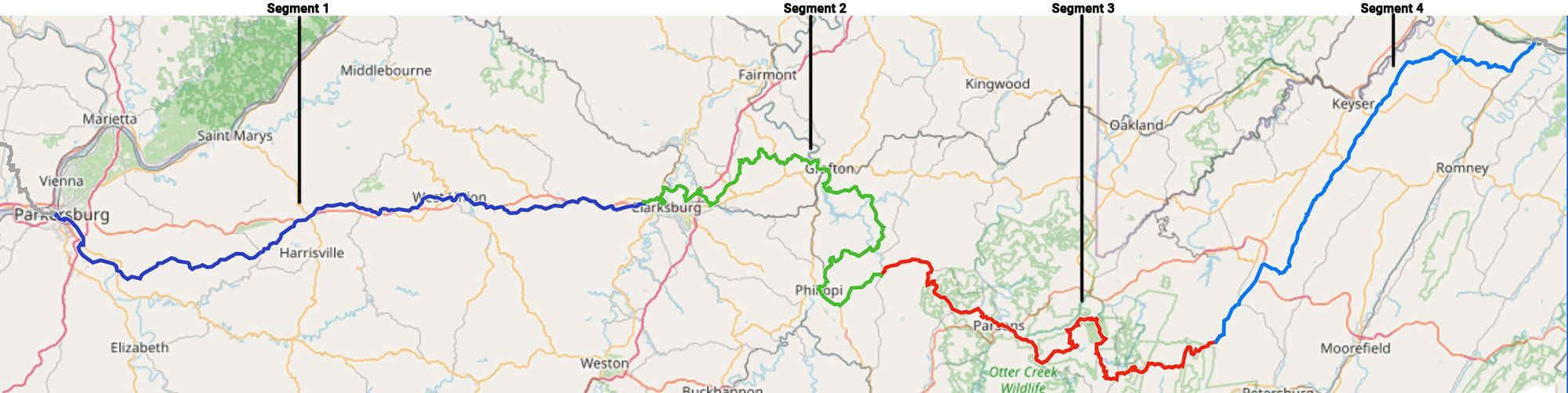
West Virginia · The Allegheny Highlands
West Virginia is the American Discovery Trail's first true mountains — 281.6 miles between the Ohio River at Parkersburg and the Potomac at the Maryland line. Both ends sit low; the high country rides the eastern interior, where the trail crosses Dolly Sods at around 4,000 feet.
The western end is nearly flat — 72 miles of old North Bend railroad grade, through tunnels and over trestles. The interior rises through the central hills past Bridgeport, Grafton, and Philippi into the Monongahela high country, where Blackwater Falls, Canaan Valley, and Dolly Sods can turn subarctic in any season.
Segment Guides
The North Bend Rail Trail
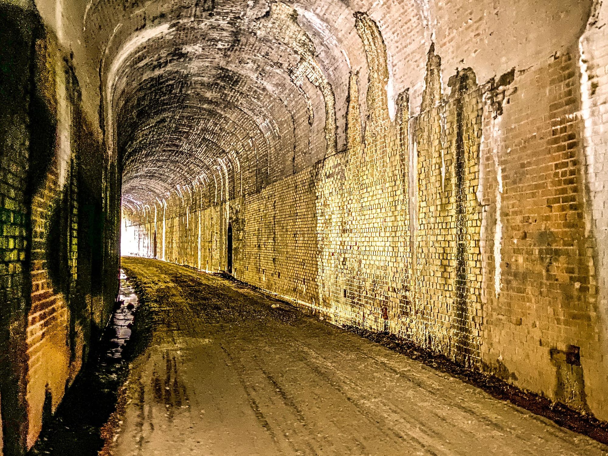
The state's western end is the North Bend Rail Trail — 72 miles of old Baltimore & Ohio railroad grade between the Ohio River at Parkersburg and Wolf Summit, near Clarksburg. It's nearly flat — railroad grades rarely top three percent — and it threads ten passable tunnels and thirty-six bridges. A headlamp earns its place: the Central Station tunnel runs 2,297 feet, and the Silver Run tunnel comes with its own ghost story. Trail towns like Cairo, Pennsboro, Ellenboro, West Union, and Salem sit right on the route, and North Bend State Park anchors the middle. Camping is easy here — picnic-area sites, dispersed spots, and the state park run all along it. The western tunnels and surface are the most groomed; the eastern half runs rougher.
The Central Hills: Bridgeport and Philippi
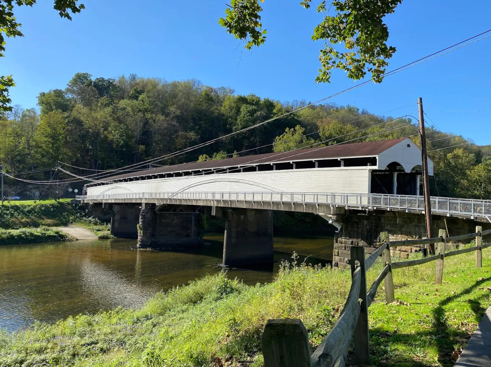
Between the rail trail and the high country lie north-central West Virginia's hills. The route runs through Bridgeport, where a mall and full services sit right on the trail, by Tygart Lake State Park and its lakeside lodge, and through Philippi, where the 1852 Philippi Covered Bridge stands at the site of the first organized land battle of the Civil War.
The High Country: Blackwater Falls and Dolly Sods
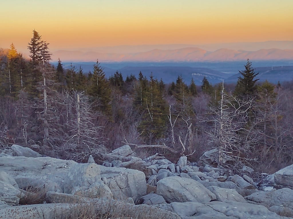
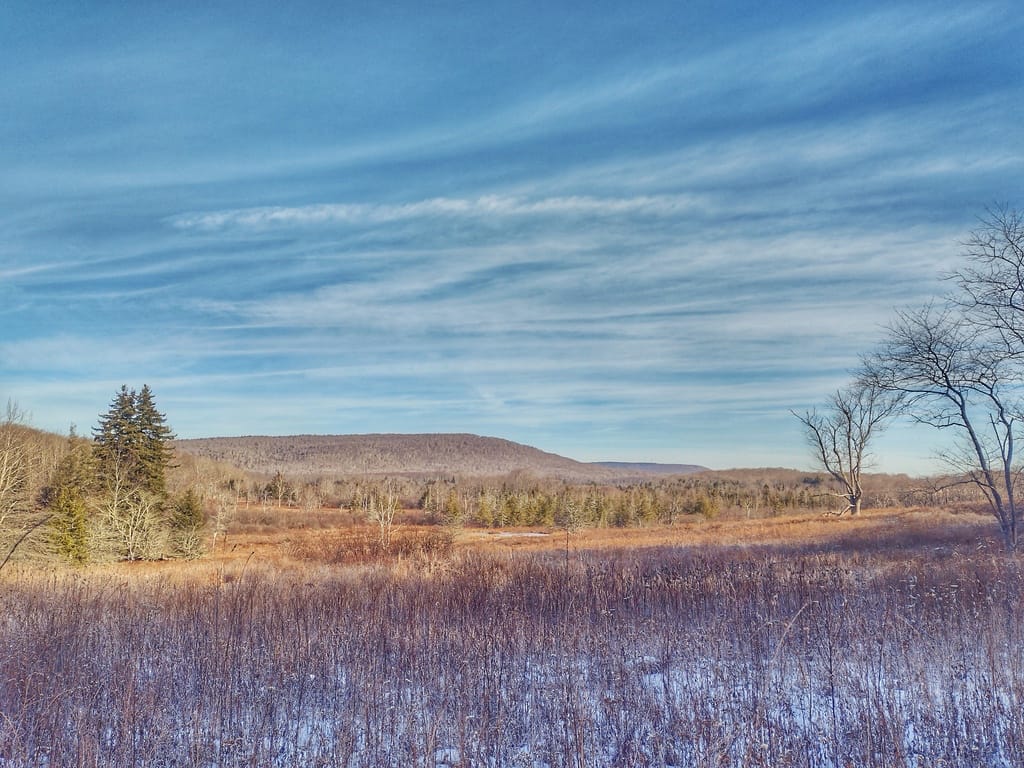
The eastern interior holds the high country, in the heart of the Monongahela National Forest. Parsons sits at its edge on the Allegheny Highlands rail-trail. Blackwater Falls State Park has the Blackwater Canyon, the Lindy Point overlook, and Elakala Falls; Canaan Valley — the highest valley in the East — brings a resort, a campground, and a national wildlife refuge. Higher still is Dolly Sods: a wilderness plateau around 4,000 feet of heath barrens, sphagnum bogs, and red spruce flagged sideways by the wind, on ground that once served as a World War II artillery range. Dispersed campsites are scattered the length of it, and the Eastern Continental Divide runs the spine of the Allegheny Front here. Cold, wind, and fog can arrive in any month up high, and there's little shelter.
Greenland Gap and the Potomac
Between Dolly Sods and the Maryland line the land drops away toward the river. Greenland Gap cuts a steep water gap, with cascades at Falls Gap, and Knobley Road carries long ridge-and-valley road walking past small communities like Antioch and Fort Ashby. At the Maryland line near Green Spring, the trail meets the Potomac River around 550 feet, where Maryland's first segment connects.
Timing and Elevation
The rail trail and the Potomac end walk comfortably for much of the year, but the high middle sets your season. Snow and hard weather linger around Canaan Valley and Dolly Sods into spring and return early in fall, and the plateau can see freezing temperatures and whiteout fog even in summer. Late spring through October is the dependable window for the high country. Watch the mountain forecast, not the lowland one.
Water, Resupply, and Camping
Resupply is steady: Parkersburg and the rail-trail towns at the west end, Bridgeport's full services through the central hills, and Parsons, the Canaan Valley area, and Fort Ashby toward the east. Camping is plentiful the whole way — picnic-area and dispersed sites along the rail trail, state-park campgrounds and lodges at Tygart Lake, Blackwater Falls, and Canaan Valley, and dispersed camping throughout the Monongahela high country and Dolly Sods. Water runs everywhere in the mountains.
What a West Virginia Crossing Looks Like
One end is a flat rail trail, the other ends low at the Potomac; the high country between them asks far more than either. Time Dolly Sods and Canaan for a clear window, carry layers for the exposure up high, and check the mountain forecast before committing to the plateau. 🥾⛰️