
The Sierra is still open. The creeks are dry.
Rhiis Lopez crossed on bare ground. Zero inches at Palisades Tahoe and Mount Rose, and 22.2 dry miles between Watson Creek and Galena Falls.

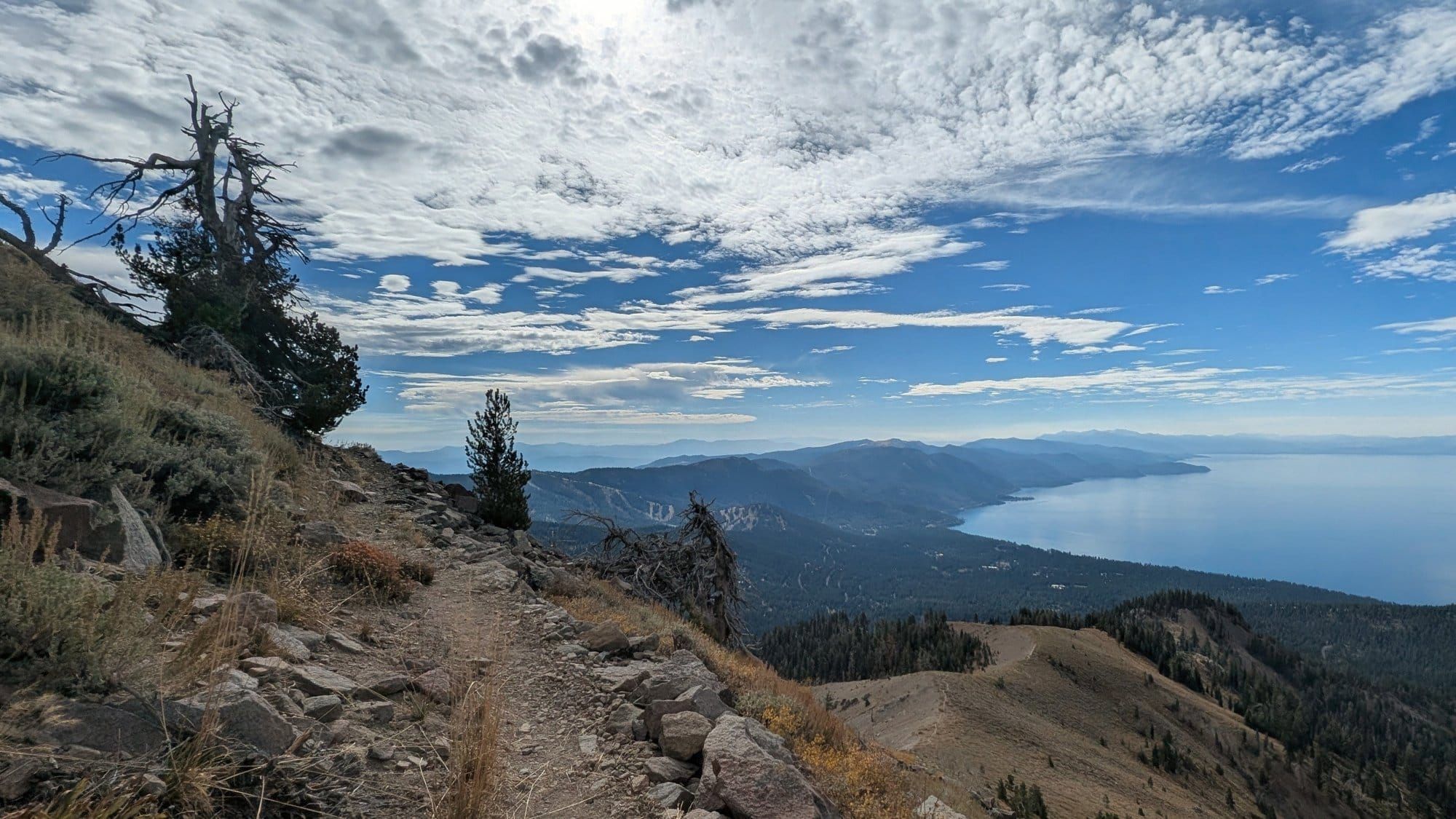
On October 3, Rhiis Lopez crossed the Carson Range above Lake Tahoe on the American Discovery Trail, topping out above 10,000 feet on bare ground. He came down to Carson City the next day, and on October 7 he left for Virginia City.
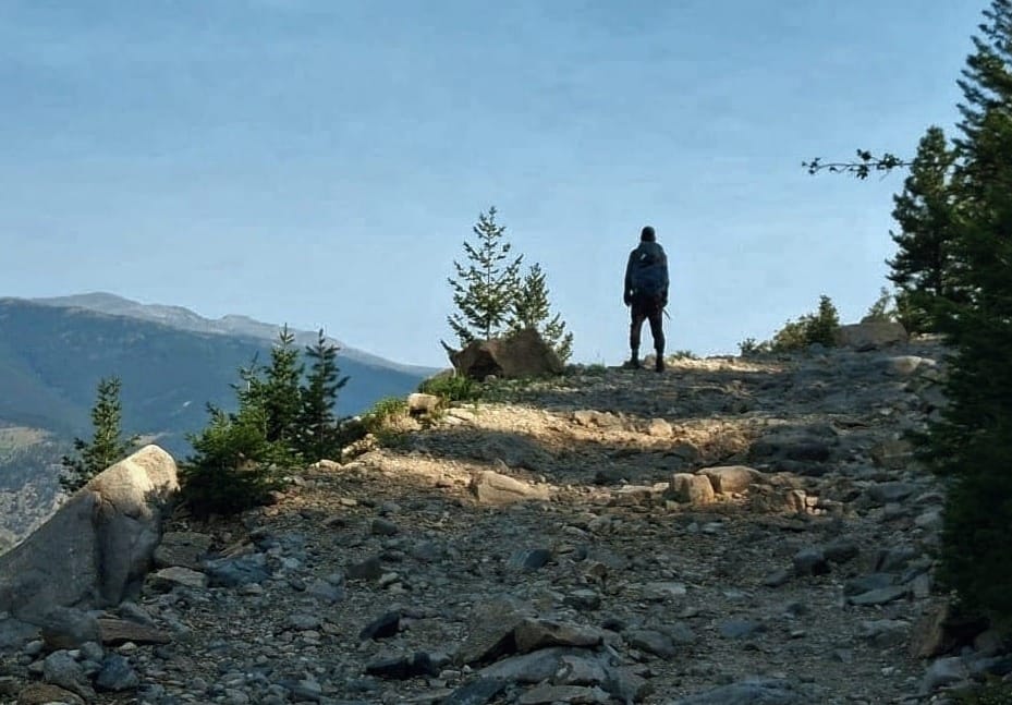
Rhiis 'Rhiis&Sara' Lopez
Currently Eastbound
Began: February 21, 2025 - Cape Henlopen, DE
Paused: November 5, 2025 - Julesburg, CO
Restarted: March 10, 2026 - Illinois/Indiana Line - Southern Route
Flip-Flopped: September 10, 2026 - Limantour Beach - Eastbound
Support Links: ImHikingAmerica, TrailJournals, YouTube, Venmo
After flip-flopping from Grand Junction, Colorado, he set out eastbound on September 10 from Limantour Beach, where the trail meets the Pacific. He took the ferry across San Francisco Bay, followed the Delta levees north to Sacramento and the American River up to Auburn and Foresthill. On September 28 he picked up the Western States Trail just outside Foresthill, and he camped at Robinson Flat the next night. He reached Truckee on October 1, resupplied the next morning, and climbed through the last high country in California into the Mount Rose Wilderness.
Between Foresthill and Carson City, he logged 227 notes on water, campsites, closures, and trail conditions. He's sent us more than 1,000 since August. 👀
What the snow stations said
Hiking America records the first day each fall that 3 Sierra stations along the ADT hold more than 3 inches of snow. Below 3 inches, the crossing is cold walking. Above it, it's snow travel.
Palisades Tahoe (8,013 ft) and Mount Rose Ski Area (8,801 ft) read 0 inches every day from October 1 through 7.
| Station | 15-yr average | Last 5 yrs | Earliest on record | 2025 |
|---|---|---|---|---|
| Palisades Tahoe, 8,013 ft | Nov 2 | Oct 28 | Oct 4 (2011) | Oct 14 |
| Mount Rose Ski Area, 8,801 ft | Oct 30 | Oct 29 | Oct 5 (2010, 2011) | Oct 13 |
| Tahoe City Cross, 6,797 ft | Nov 24 | Nov 30 | Oct 22 (2012) | Dec 23 |
The earliest close in our records came at Palisades Tahoe on October 4, 2011, the same date Rhiis walked down into Carson City this year. Last fall Mount Rose closed October 13 and Palisades October 14, more than 2 weeks ahead of their averages.
If you're westbound and still headed for the crossing this fall, the averages say early November. At Palisades, the last 5 years have run 5 days earlier, and 2025 closed in mid-October. Plan to be over Mount Rose before Halloween.
Water: 22 dry miles
From Watson Creek in California to Galena Falls in Nevada, 22.2 miles of trail, Rhiis checked every creek, spring, and lake on October 2 and 3 and found none running. One lake basin was dry to the bottom. Watson Creek and Galena Falls both ran strong. Fill at one and carry to the other, whichever direction you're walking.
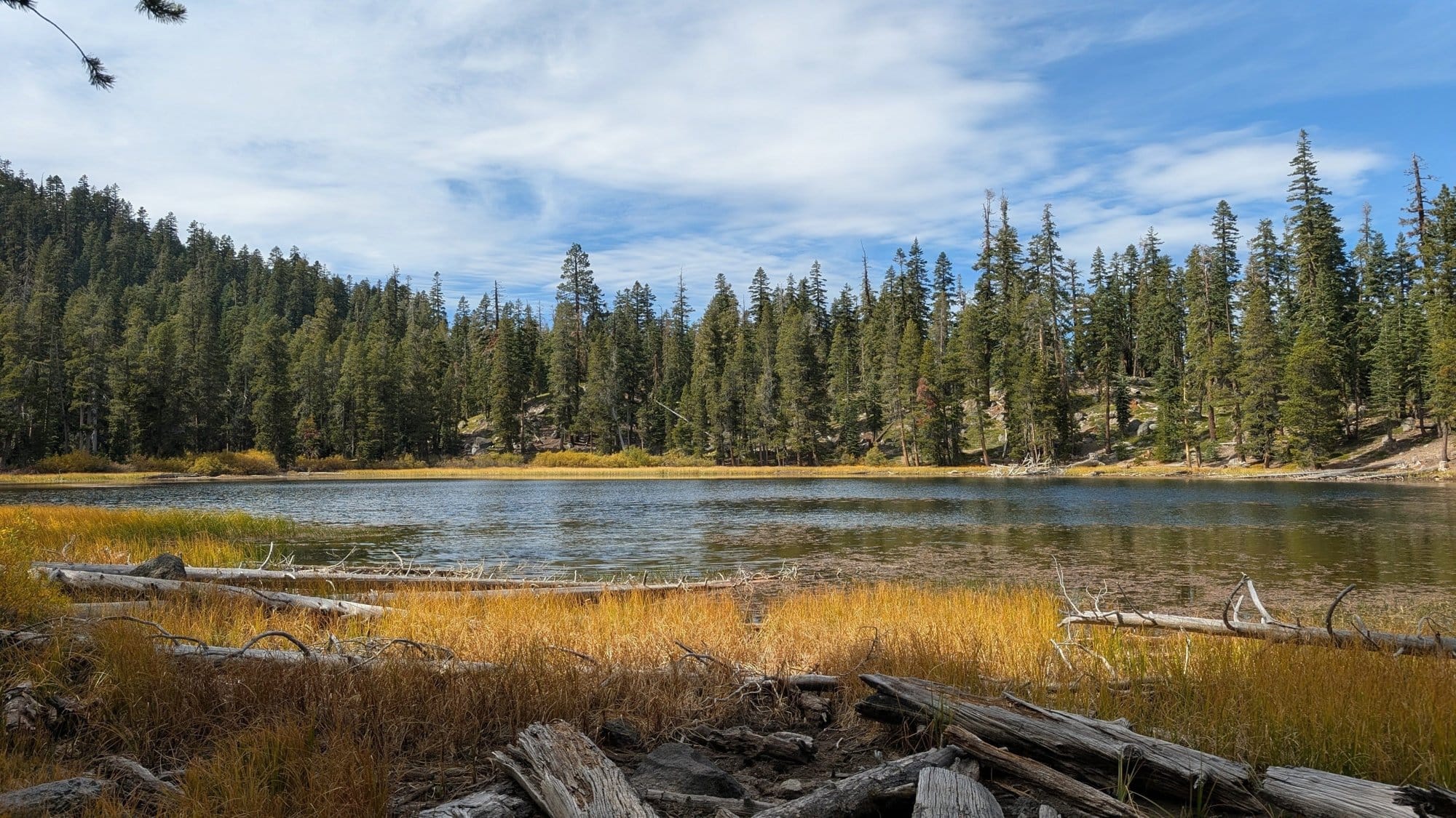
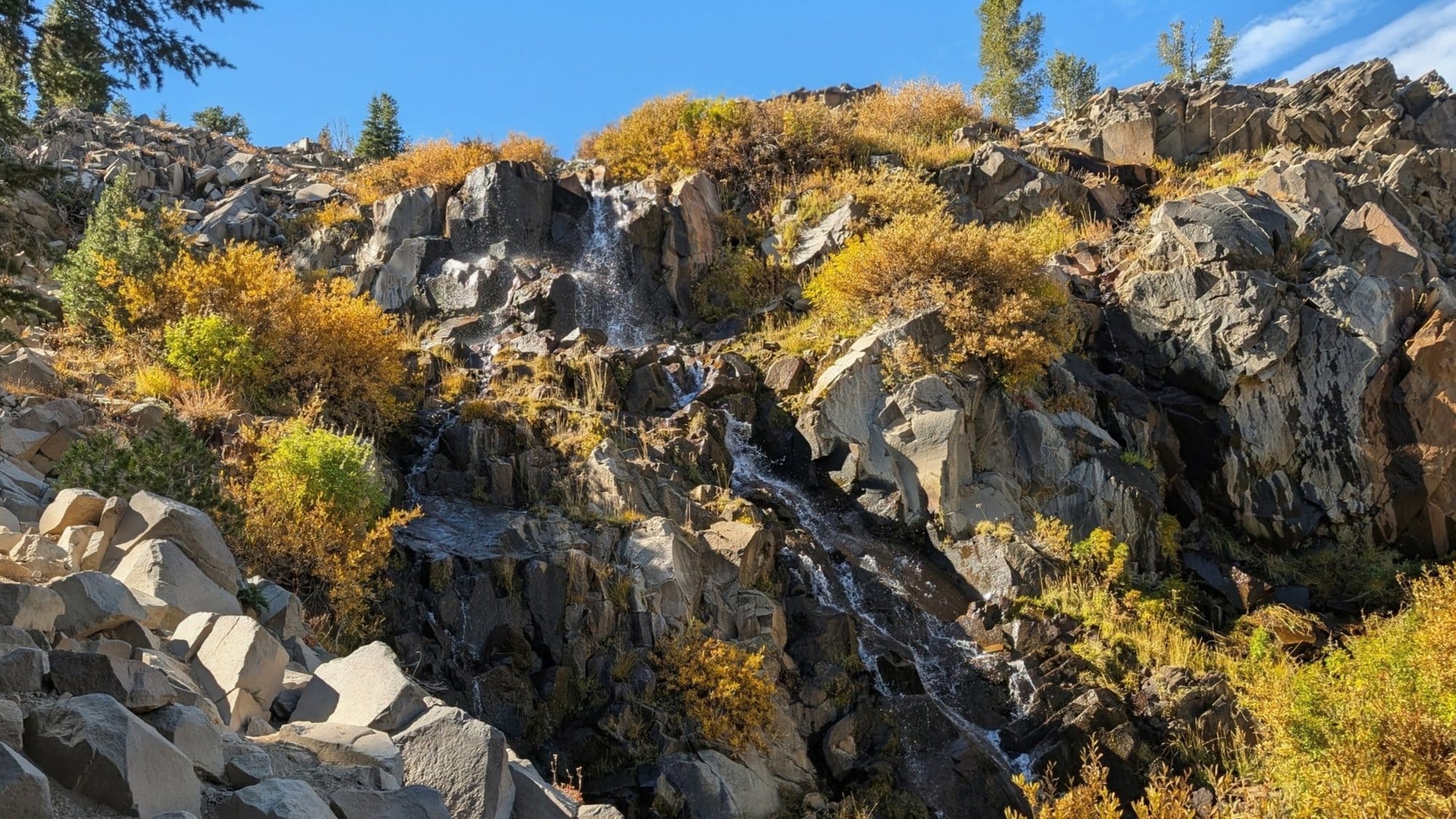
Left, October 2, just west of Watson Creek. Right, Galena Falls on October 3, the next running water, 22.2 miles east. Photos: Rhiis Lopez
The high country melted out early this spring. Palisades Tahoe dropped below 3 inches on May 10, 13 days ahead of its 15-year average, and Mount Rose on May 23, 12 days early.
Below Galena Falls, the creeks came back. The descent toward Carson City follows a stream with strong flow and crosses several more that were running.
Posted signs near Truckee and at the Mount Rose trailhead require a hard-sided bear canister for anyone camping.
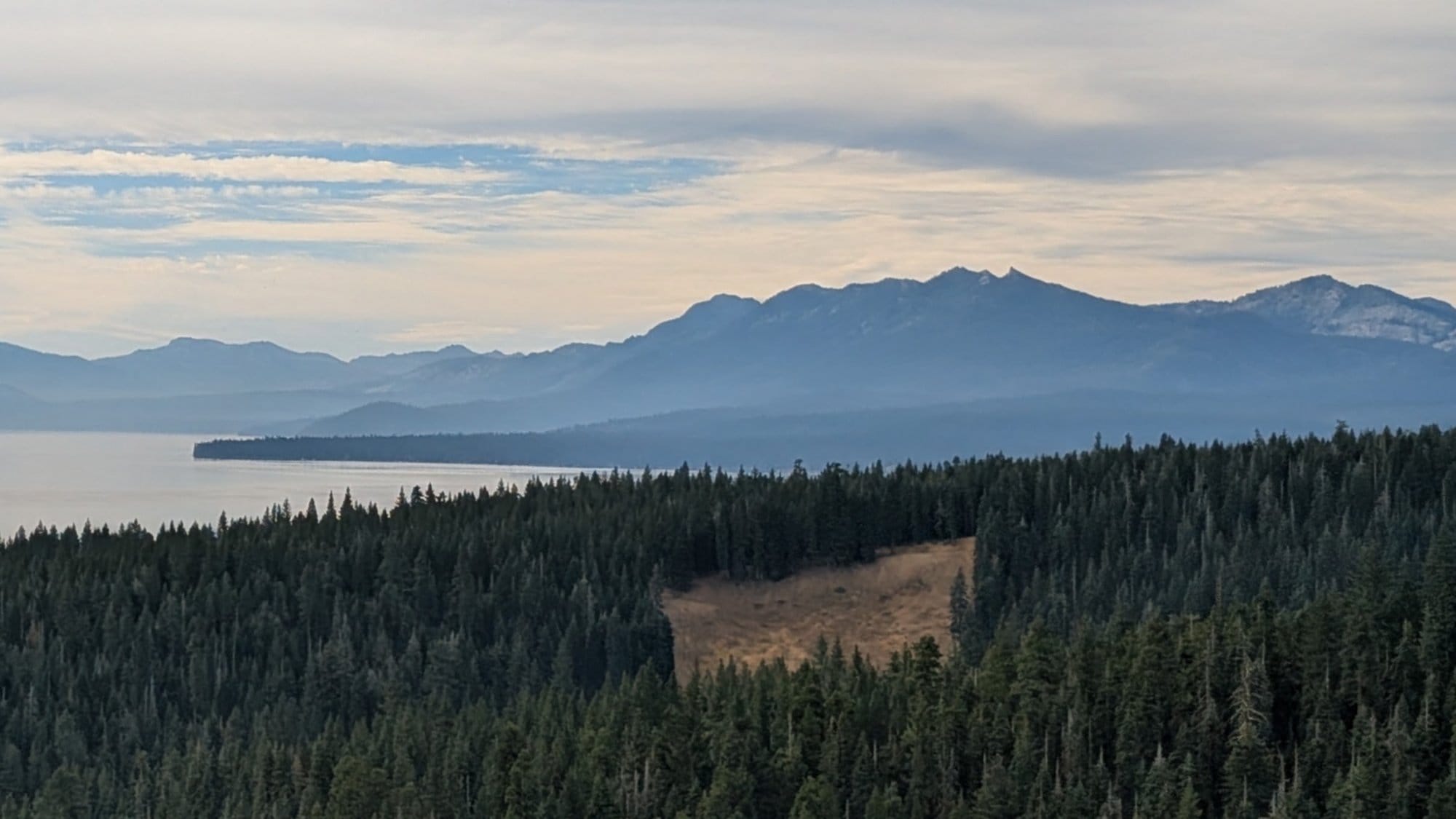
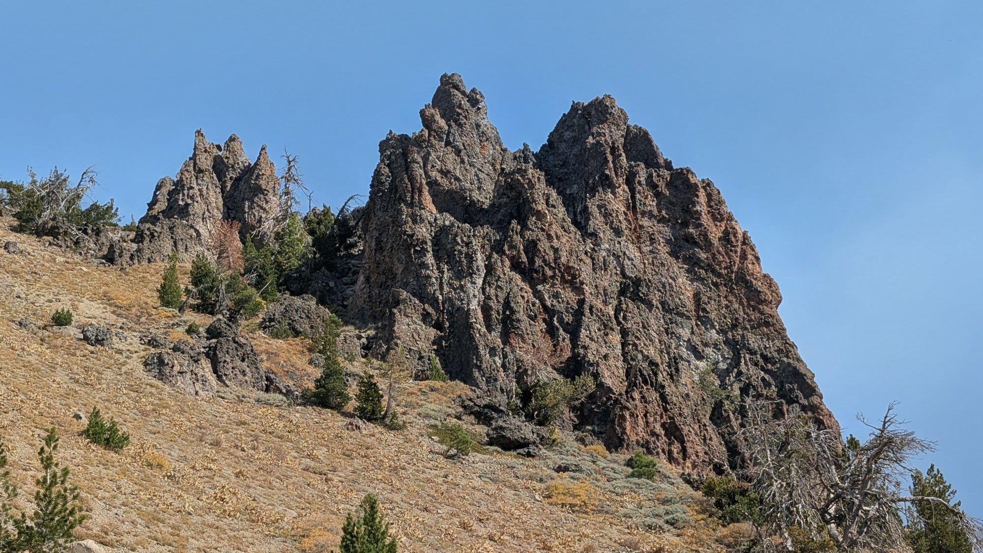
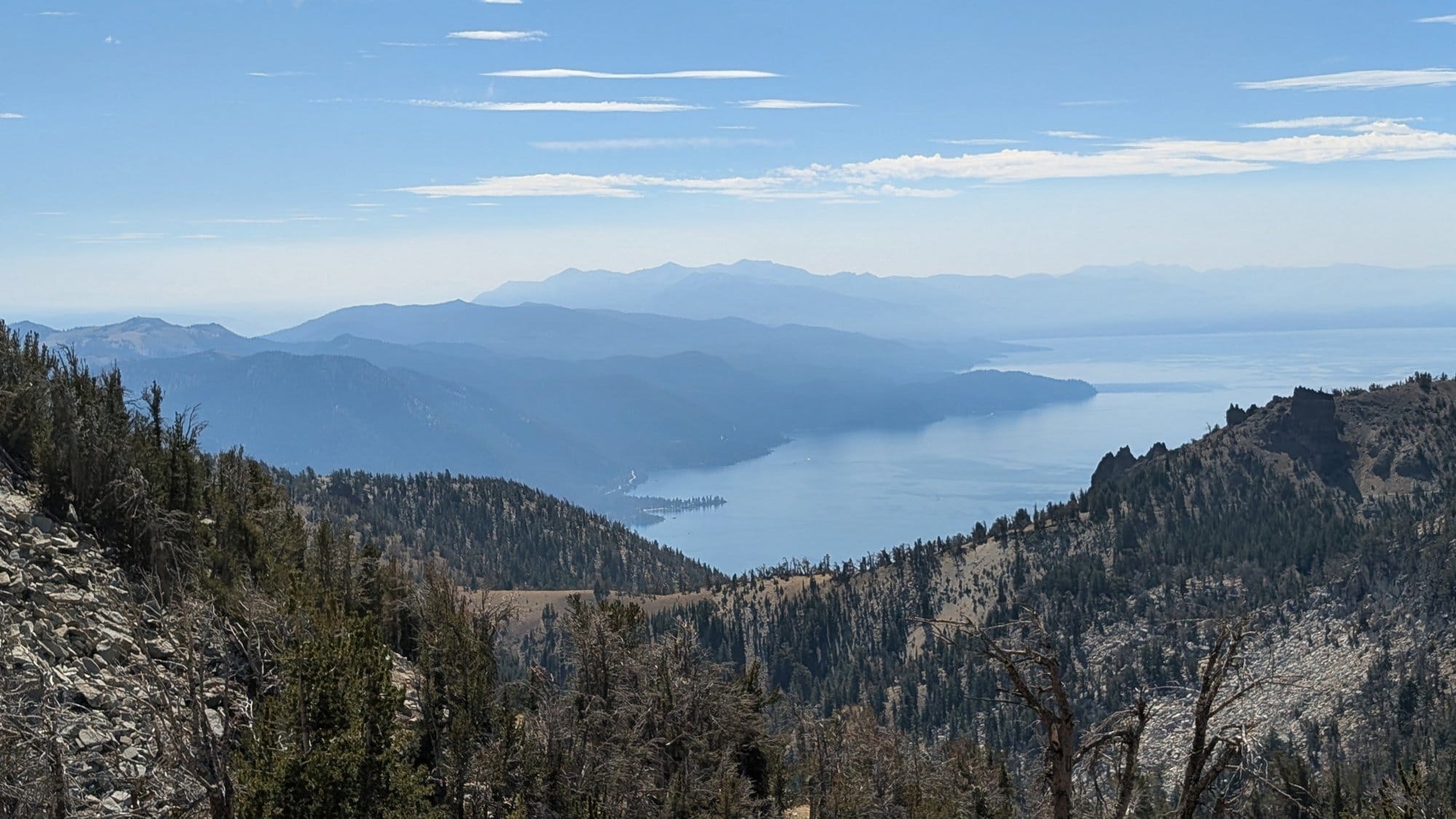
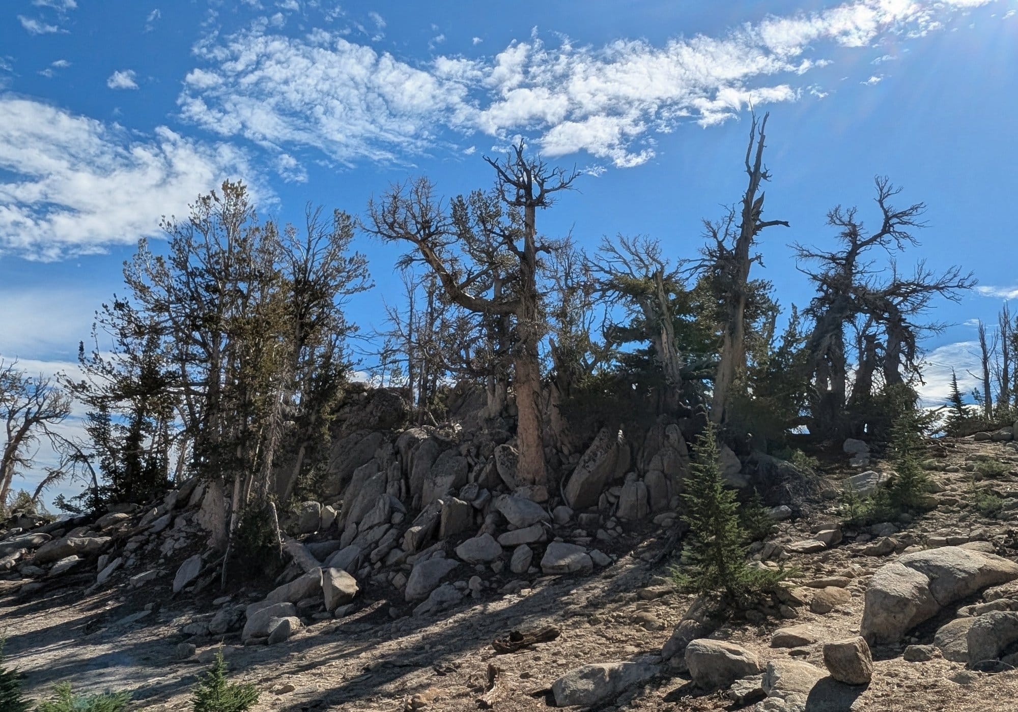
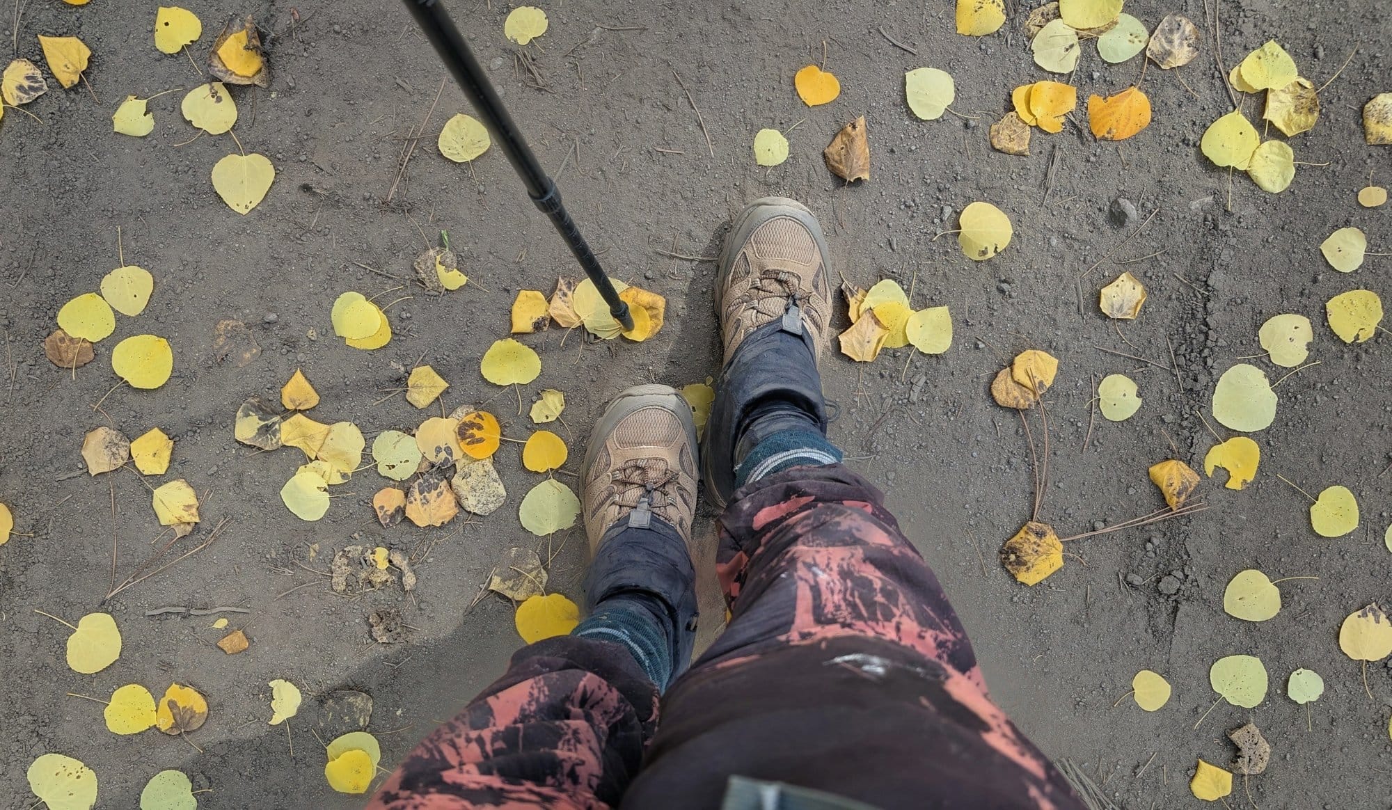
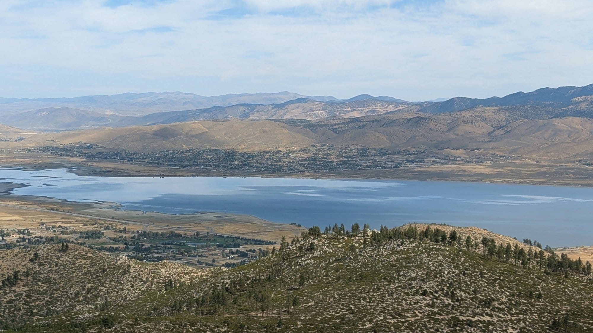
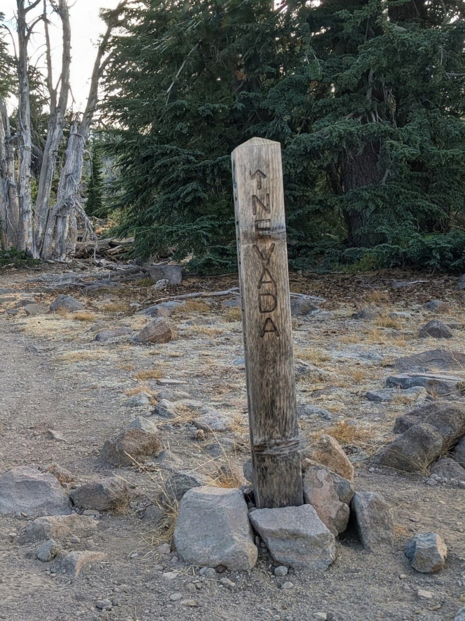
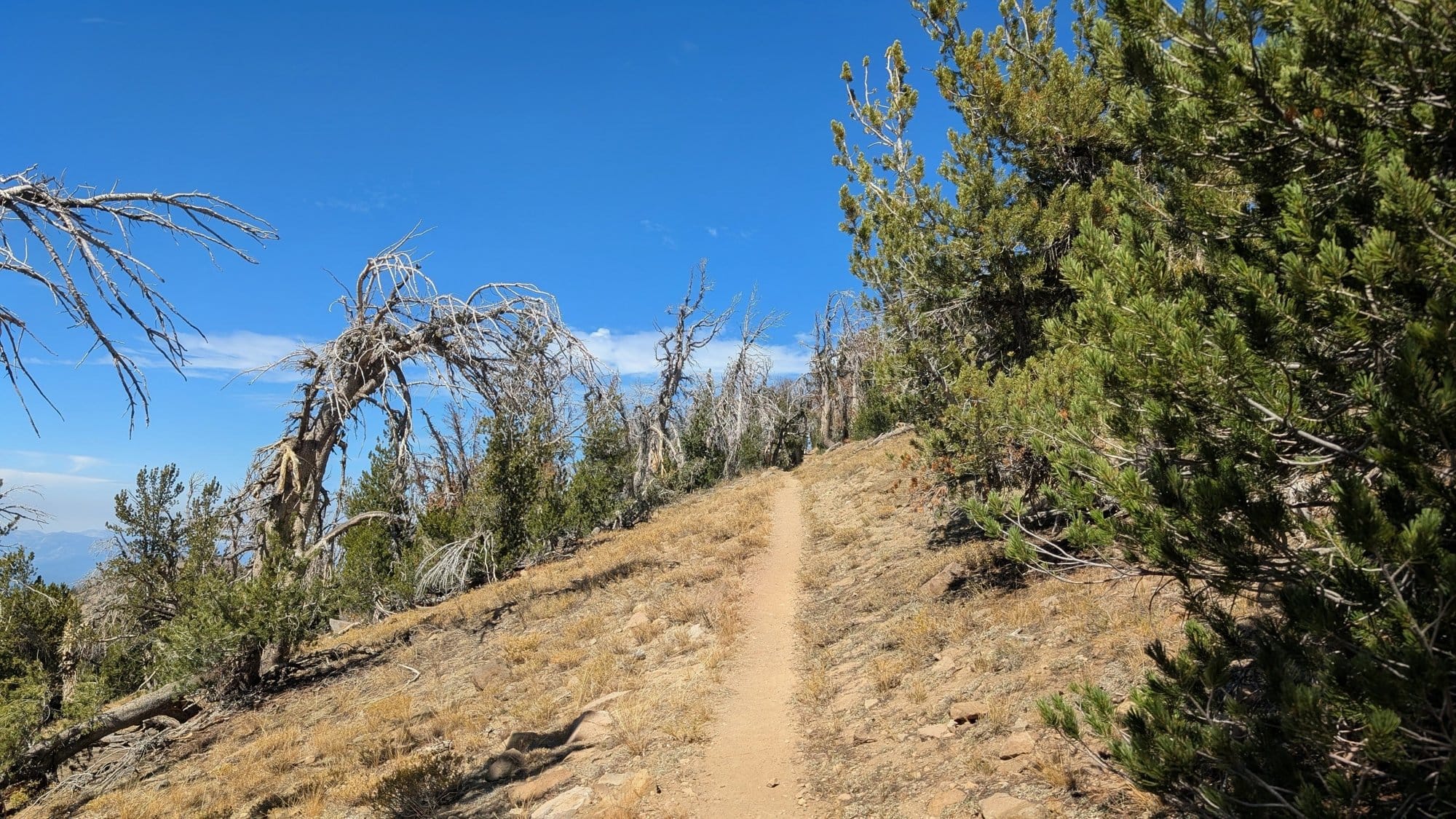
October 2 to 4: Lake Tahoe from above Tahoe City, the Mount Rose Wilderness at nearly 9,900 feet, then aspens and Washoe Lake on the way down to Carson City. Photos: Rhiis Lopez
In the guides
Rhiis's notes from this crossing are now going in the California and Nevada Gaia GPS data and our turn-by-turns: water status at the sources between Foresthill and Carson City, campsites, and the 22.2-mile dry stretch flagged at both ends. ADT GPS data is subscription-only, and members get it on the ADT guides page.
An annual membership is $89 and covers every ADT state guide and the curated Gaia GPS data, including the water and campsite notes Rhiis is sending from Nevada now.
The full fall and spring snow tables, every year back to 2009, are on the Nevada and California guide pages.
Hike Your Hike - John. 🥾

