
Trail Tools
Planning a long-distance hike involves a lot of math. Miles from this waypoint to the next resupply. How many days of food to carry. Whether your pace gets you over a mountain pass before the afternoon storms roll in. Most hikers piece this together on scraps of paper, scattered spreadsheets, or mental arithmetic at the end of a long day on the trail.
These tools do the math for you.
Each one runs entirely in your browser. Nothing is sent to any server. No account required. Open the tool, get the answer, close the tab, and go back to planning.
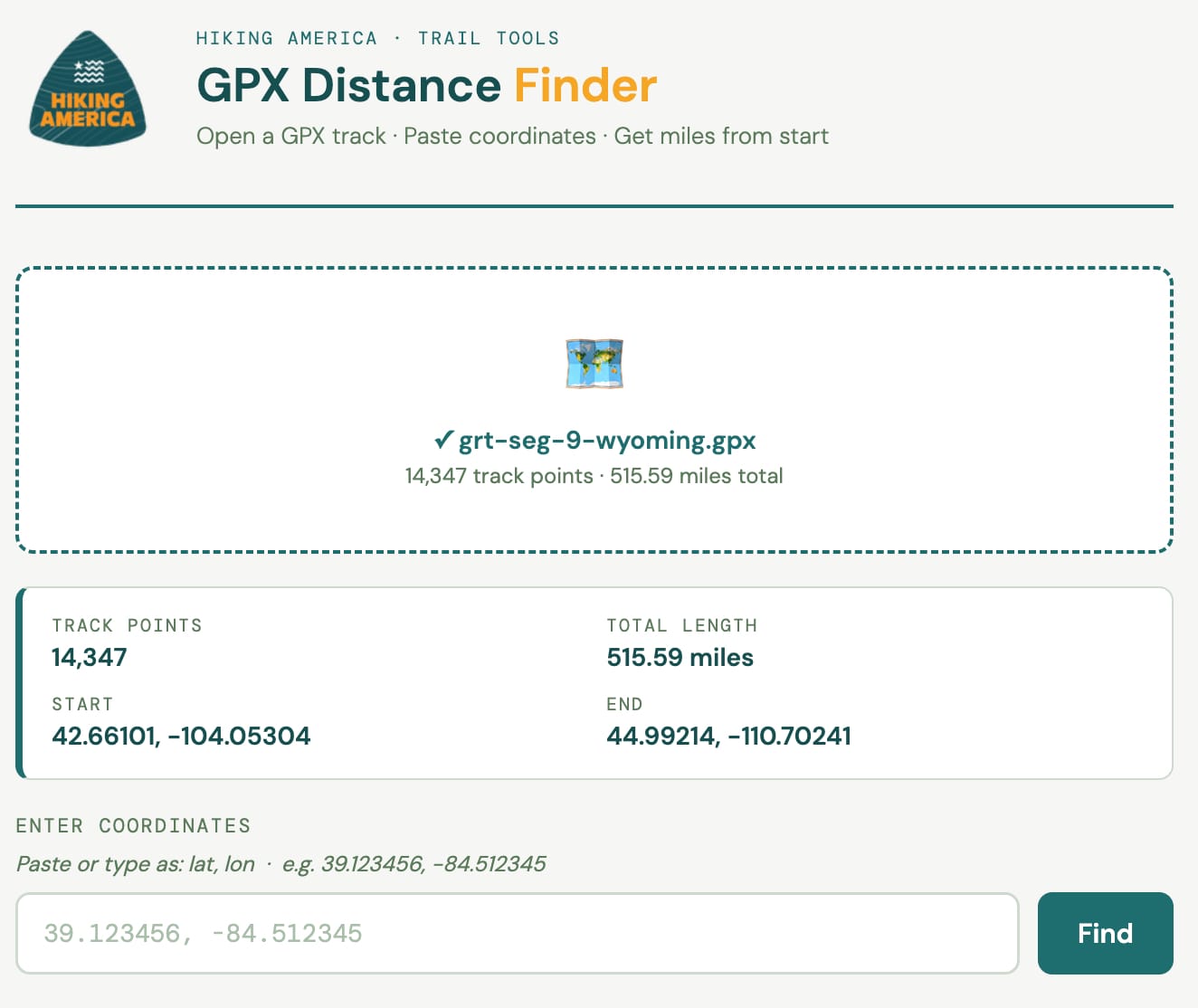
GPX Distance Finder
Open any GPX track file and find the exact mileage from the start of the route to any coordinates you enter. Paste in as many lat/lon pairs as you need, then export your results as a CSV. Built for hikers placing waypoints on long-distance routes.
→ Open the GPX Distance Finder
More tools are on the way. If there's a calculation you find yourself doing repeatedly during trail planning, we'd like to know about it.
New tools are in development. Drop your email below, and we'll let you know when they launch — along with field updates from hikers currently on the American Discovery Trail and Great American Rail-Trail.
No spam. Practical trail intelligence, delivered occasionally.