
When You Control What You Can Control: This Week's Trail Intelligence
The trail throws challenges you can't control — but you can control how prepared you are. This week's updates show how our ADT community turns uncontrollable moments into manageable adventures with the right tools and intelligence.

The American Discovery Trail throws plenty at you that's completely out of your control — weather delays, trail closures, gear failures, or that moment when your GPS loses signal in the middle of nowhere.
But here's what I've figured out: while you can't control every challenge the trail presents, you can control how prepared you are to handle them.
This week's updates from the trail perfectly illustrate this principle. From heat domes to route alternatives, our ADT community is making smart decisions with reliable information — and that's exactly what turns trail challenges into manageable adventures.
Rhiis & Sara
Westbound - Southern Route & Northern Route
Began: February 21, 2025
Support Links: ImHikingAmerica, TrailJournals, YouTube, Venmo
Real-Time Trail Intelligence in Action
Indiana South, Ohio North & Indiana North: Strategic Route Planning Under Pressure
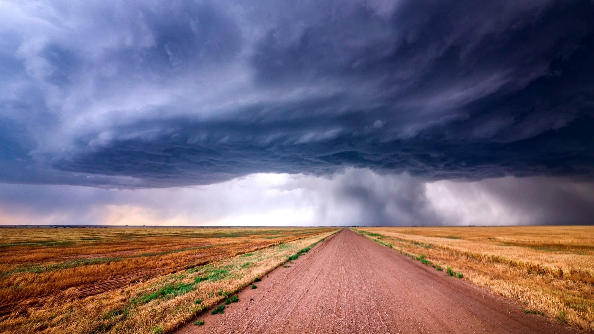
Rhiis and Sara just finished southern Indiana and made a tactical decision that shows exactly what controlling the controllables looks like. With the nation under an unprecedented heat dome, and as hikers intent on completing the entire ADT, they flip-flopped back to Elizabethtown, Ohio, to tackle the northern route, hoping for even a few degrees of relief.
As prolific trail documentarians, they're capturing incredible detail of the northern Indiana route as they work toward completing both the north and southern routes through Indiana this week before heading into northern Illinois.
The lesson here? When conditions are beyond your control, adapt your strategy with the tools and information you do have.
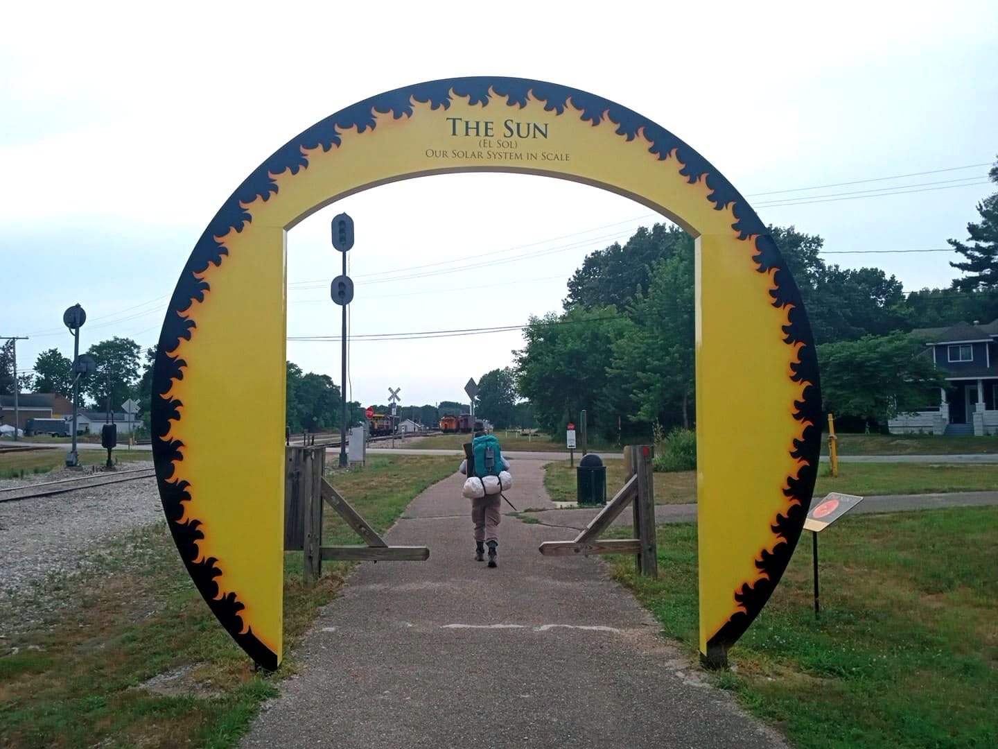
Stephen "SaunterinSteve" Gefell
Westbound - Southern Route
Began: February 23, 2025
Support Links: ImHikingAmerica, Instagram, YouTube
Colorado South: Pioneering New Trail Intelligence
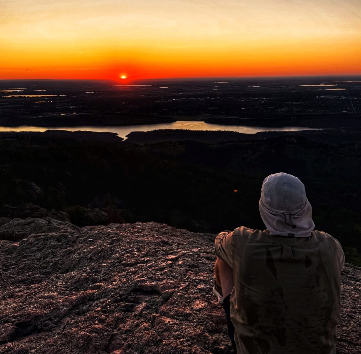
Steve Gefell finished southeastern Colorado's flatlands and faced a choice that many ADT hikers encounter: stick with the official route or trust local advice about a new alternate?
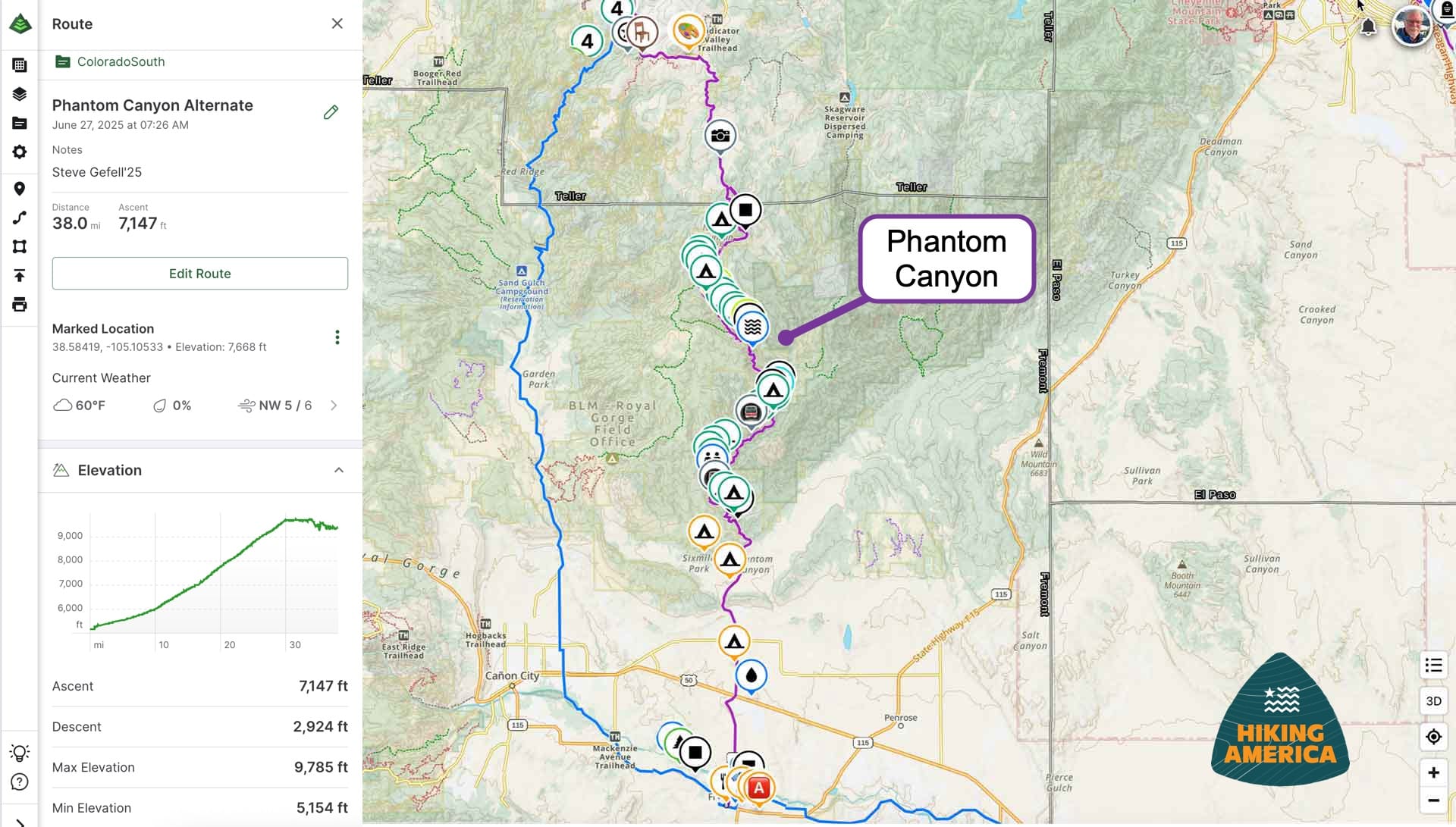
Steve chose what is now known as the Phantom Canyon Alternate — a 38-mile route with a steady 7,000-foot ascent/descent (depending on your direction) that is almost entirely on BLM land, and follows Eightmile Creek from Florence to Victor. Here's what makes this significant: this route had never been hiked with waypoints recorded before. Steve, while making his way up the canyon, documented dozens of streamside campsites 🏕️💧 and created the first comprehensive navigation data for this alternate route.
While the official route follows Garden Park and Shelf Roads (primarily through private land), Steve's alternate route adds the resupply town of Victor for just 4.8 extra miles (38 miles vs. 33.2). Now, future hikers will have his trail-tested waypoints to make informed decisions about which route works best for their needs.

Before beginning to the Colorado West route, Steve took time to celebrate with Kolten, another member of the ADT Class of 2025 with a beer and a round of virtual golf. And during one mountain sunrise, they both called to catch up — and that's what this community is all about. When hikers pursuing the same dream finally meet on the trail, it creates connections that go far beyond the miles.
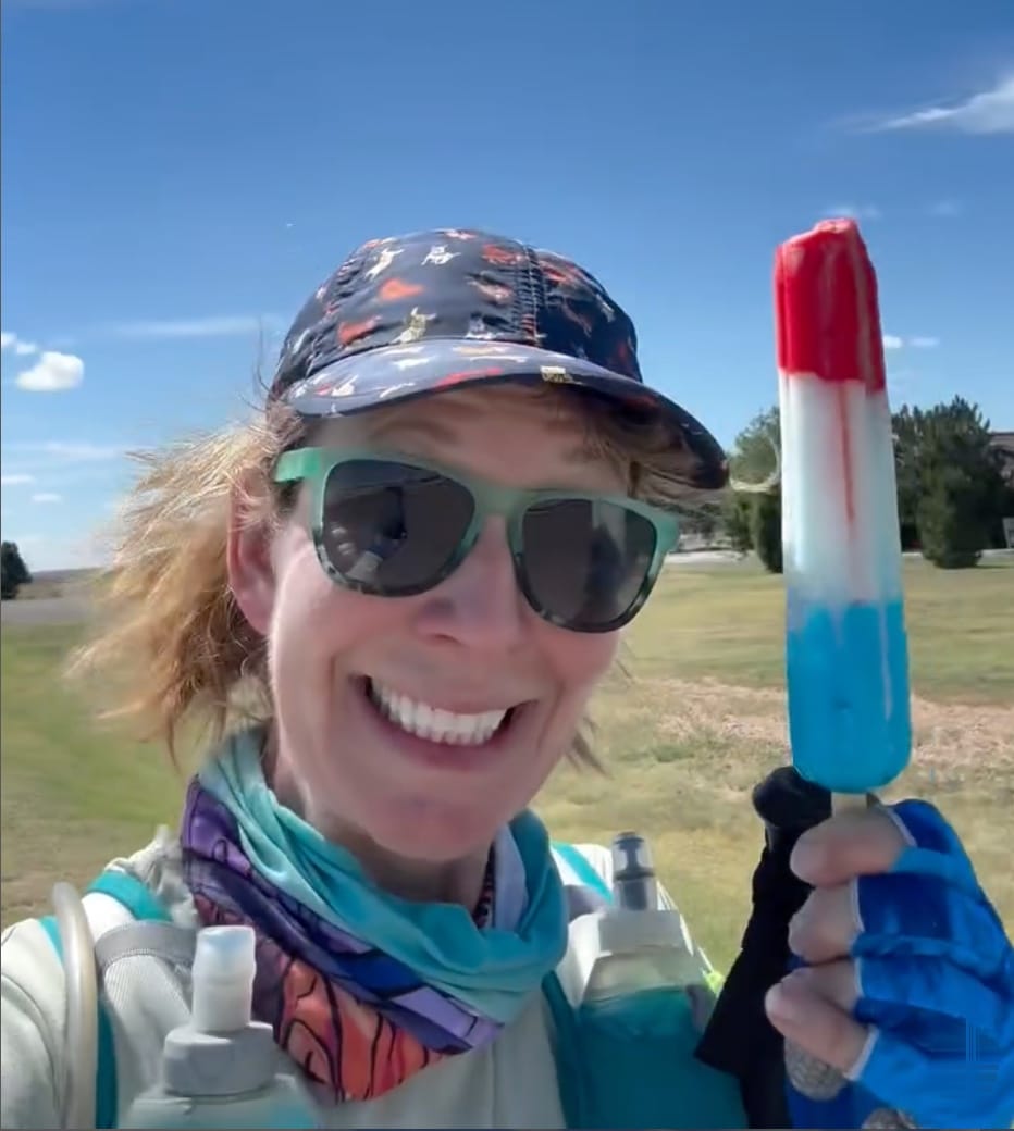
Suzan Brydon
Westbound - Running ADT Southern Route
Began April 27, 2025, Elizabethtown, Ohio
Support Links: ImHikingAmerica, Girls On The Run, BrydonRunning.net, Instagram,
The Power of Community Intelligence
Suzan Brydon continues her incredible ADT run from Elizabethtown, Ohio to Denver, Colorado, benefiting the Girls on the Run organization. Her journey demonstrates how the trail becomes a platform for something bigger when you have the right support systems in place.
Meanwhile, Charlie Simpson — West Virginia's legendary trail angel — shared news that Green Spring now offers a free Welcome and Rest Area with camping and picnic tables as you enter West Virginia from the east. Charlie also hosted Ray Reynosa (ADT Class of 2023), who's currently pedaling eastbound across the USA.
And speaking of RayRey — he updated services and pricing at Cross Trails Hostel for us along the C&O Canal near Harpers Ferry before we caught up for coffee at Union Station in DC.
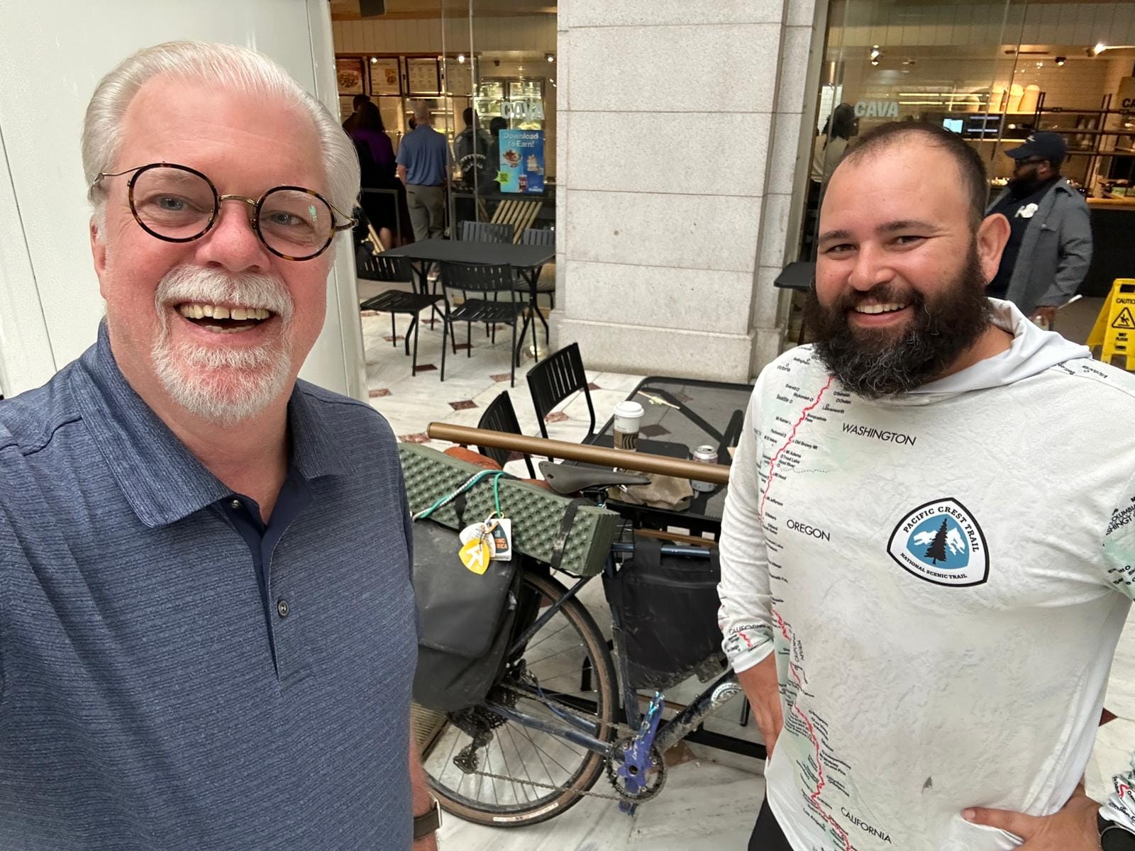
It's always a joy reconnecting with hikers who've become part of the extended Hiking America trail family.
📊 This Week's Data: Your Trail Intelligence Network
This is what controlling the controllables looks like in practice. In the last three weeks alone, our community added 421 new waypoints to the Hiking America database:
Hat-Tips - Rhiis & Sara, Steve Gefell, Ray Reynosa, Suzan Brydon, & WV Trail Angel Charlie Simpson.
- Indiana-North: 148 waypoints (campsites, water, services, trail angel)
- Colorado-South: 131 waypoints (water, services, camping, food)
- Ohio-North: 71 waypoints (water, services, camping)
- Nebraska: 49 waypoints (navigation updates, services, discoveries)
- Colorado-West: 10 waypoints (water, camping, discoveries)
- California: 10 waypoints (services, discoveries, camping)
- West Virginia - 1 (camping)
- Indiana-South - 1 (restaurant)
Categories covered: Campsites, water sources, restrooms, restaurants, hazards, discoveries, trail angels, and local contacts 📍
What This Really Means
Every waypoint represents a moment when a hiker like you had control over what you could control. Instead of wondering "where's the next water?" or "is there camping ahead?" — they had answers. Real-time, trail-tested, community-verified answers.
That's exactly why I built HikingAmerica.com. When you have reliable Gaia GPS data, detailed resupply strategies, and a trail concierge who's got your back, those uncontrollable moments become just another part of the adventure, not roadblocks to your dream.
Whether it's Rhiis and Sara adapting to heat dome conditions, Steve choosing between route options, or RayRey, a former hiker, still updating services for future hikers, this community proves that preparation and good information transform challenges into confidence.
Ready to Take Control?
The trail will always throw surprises at you. Weather, closures, unexpected detours — that's part of the adventure.
But with the right tools, community support, and trail-tested intelligence, you can focus on what really matters: putting one foot in front of the other and experiencing the journey of a lifetime.
Ready to take control of what you can control? Join our community at HikingAmerica.com and start planning your ADT journey with the navigation tools, waypoint database, and trail support that actually work.
Because when you're prepared, the uncontrollable becomes manageable — and the manageable becomes magical. ⛰️
Want to contribute to our trail intelligence network? Drop us a line with your trail updates, route discoveries, or waypoint additions. Every piece of information helps the next hiker control what they can control.
Hike Your Hike - John.
ADT In the News ––