
Bernie Krausse's Week 6: Illinois to Iowa on the Great American Rail-Trail
Bernie Krausse's Week 6 of the first known thru-hike of the Great American Rail-Trail takes him through the I&M Canal corridor, across the Hennepin Canal, over the Mississippi, and into Iowa. New waypoints, GPS reroutes, and new trail intelligence.

Photos by Bernie Krausse
Traversing the I&M Canal: Fog, History, and Muddy Trail Conditions
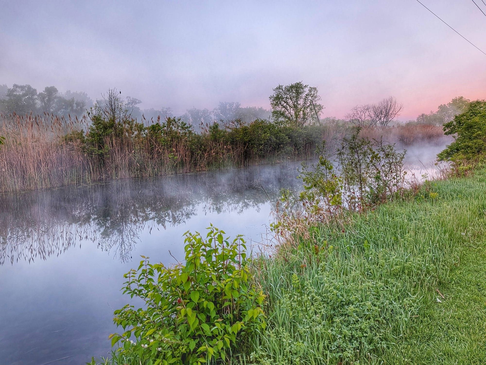
The Illinois & Michigan Canal was steaming on the morning of Day 36. Fog lifted off the ponds and marshes in the early cold, and Bernie Krausse walked through it — six weeks out from the Capitol Reflecting Pool, somewhere in the quiet stretch between Marseilles and Ottawa, noticing things the way he does.
Week 6 took him from Marseilles, Illinois, through the I&M Canal corridor, onto the Hennepin Canal Trail, across the Mississippi River, and into Iowa — a stretch that covered varied terrain, living history, real navigation challenges, and a 31-mile day that ended at a campsite with a water hydrant Bernie described as "overlooked." That's the kind of detail that matters to hikers following behind him.
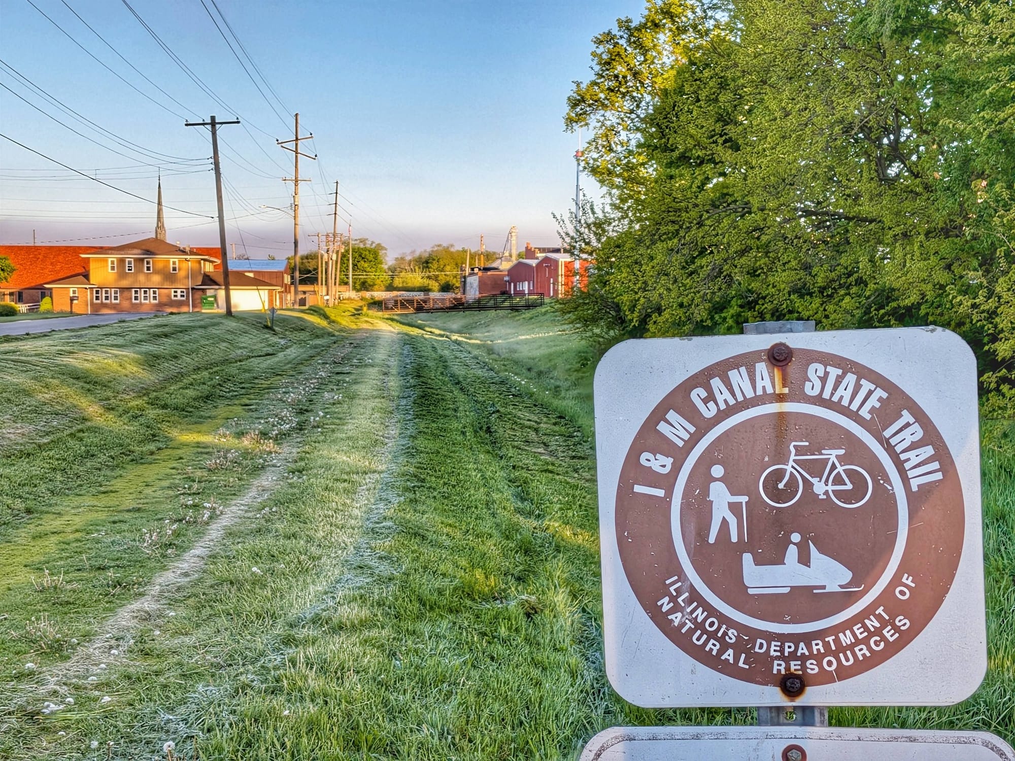
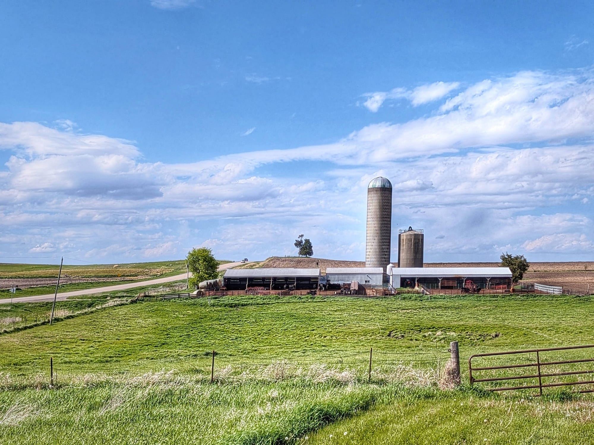
The I&M Canal corridor is one of the more historically layered sections of the Great American Rail-Trail. In the 1930s, the Civilian Conservation Corps converted the old canal passage into a recreational trail. Before that, the canal itself was a working commercial route — Wild Bill Hickok, according to local lore, drove mules along this corridor as a young man.
Bernie walked it on a crisp May morning, passing through Marseilles, Ottawa, Utica, La Salle, and Peru. A few miles outside Marseilles, he noted the trail drops into the old canal bed itself rather than running along its berm — muddy in places where water had overflowed. Worth noting for anyone planning this section: that's not a map error, that's just the trail.
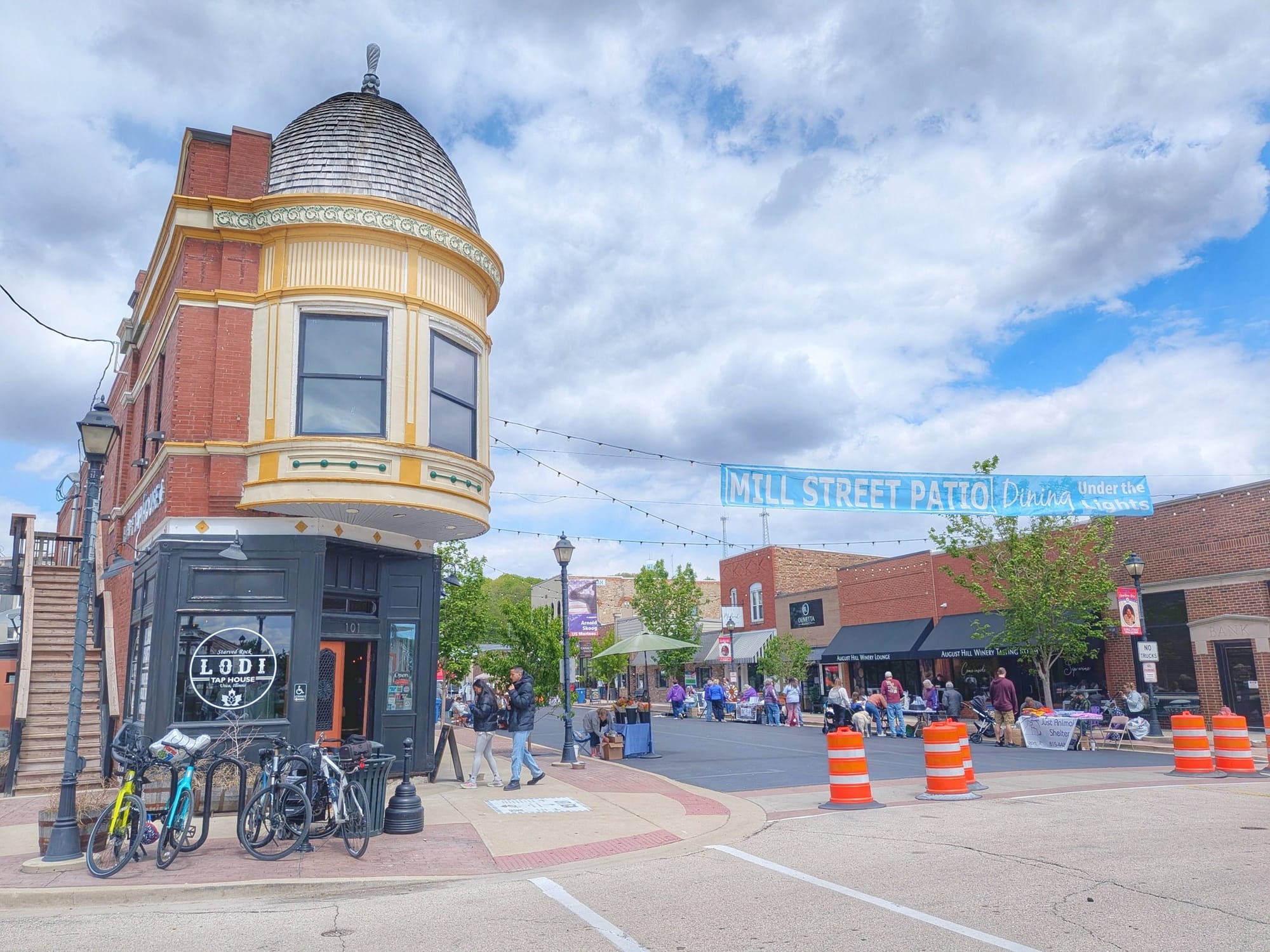
In Marseilles, a gifted coffee at the Circle K. Outside Ottawa, a woman in a full photo shoot setup that Bernie noted diplomatically as "a very different kind of wildlife sighting." In Utica, a small street fair. The trail has a way of delivering the unexpected — which is part of why having solid navigation underneath you matters. You want your attention on what's around you, not on whether you're still on route.
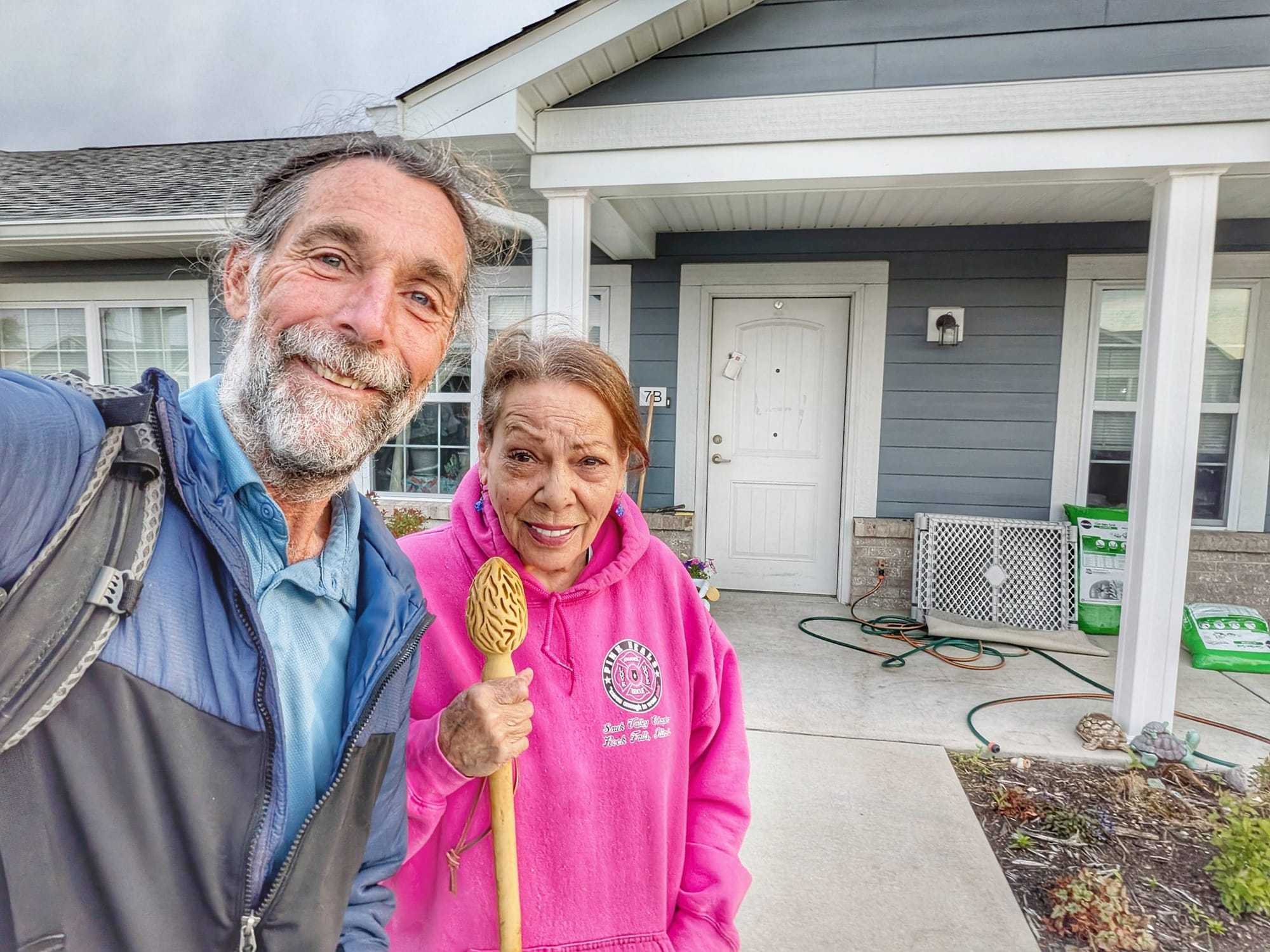
A Trail Angel Named Rebecca
At Casey's General Store in Peru, Bernie's path crossed with Rebecca, who shuttled him to her home for a meal and a comfortable night's sleep. He was especially tired that evening — 31 miles on the day — and noted he had 15 more miles of road walking before reaching the Hennepin Canal Trailhead.
Trail angels like Rebecca are woven into the fabric of long-distance hiking. They show up without fanfare and offer exactly what's needed. Bernie has been meeting them steadily since leaving Washington D.C. on March 28th.
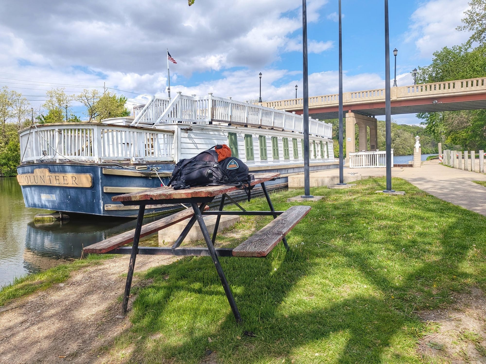
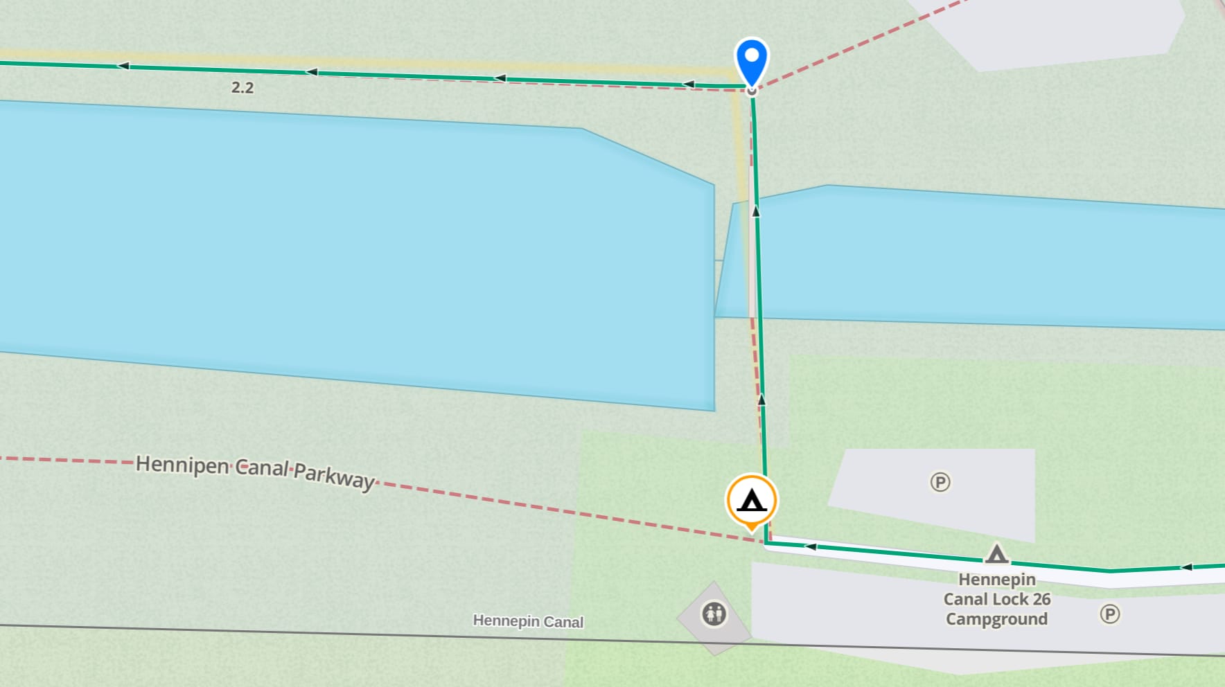
Navigating the Hennepin Canal: Lock 21 Logistics and Lock 26 Reroute
Day 37 started with a 7 am drop-off from Rebecca at the western edge of Peru. A Sunday morning road walk into Spring Valley — quiet roads, a brief encounter with a police officer who was genuinely concerned about Bernie's safety on the road, and offered a ride. Bernie politely declined, showed him the app with 8,000 waypoints already logged, and kept walking west.
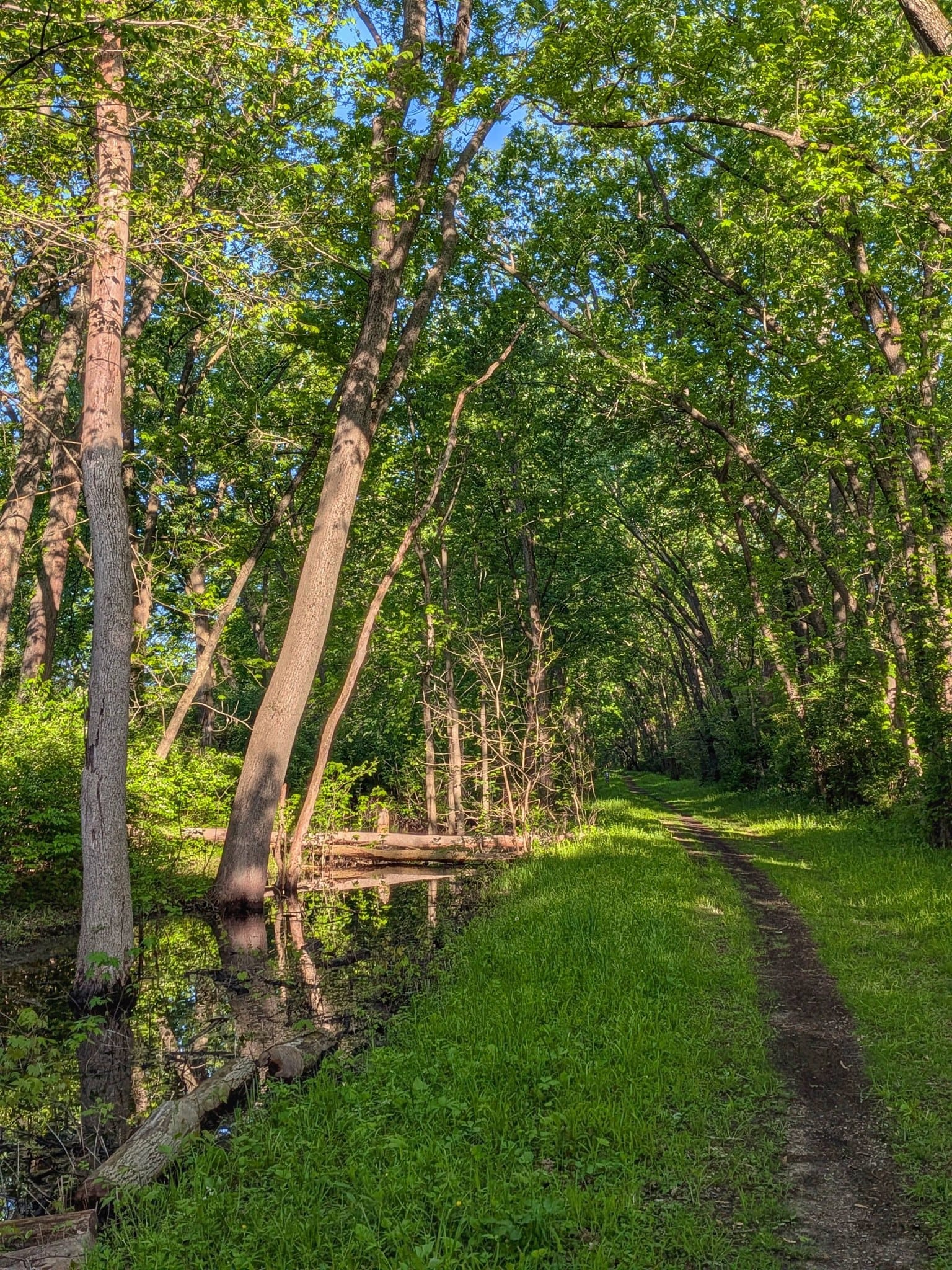
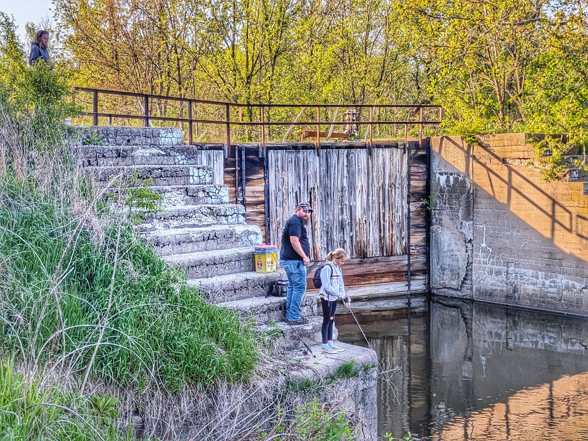
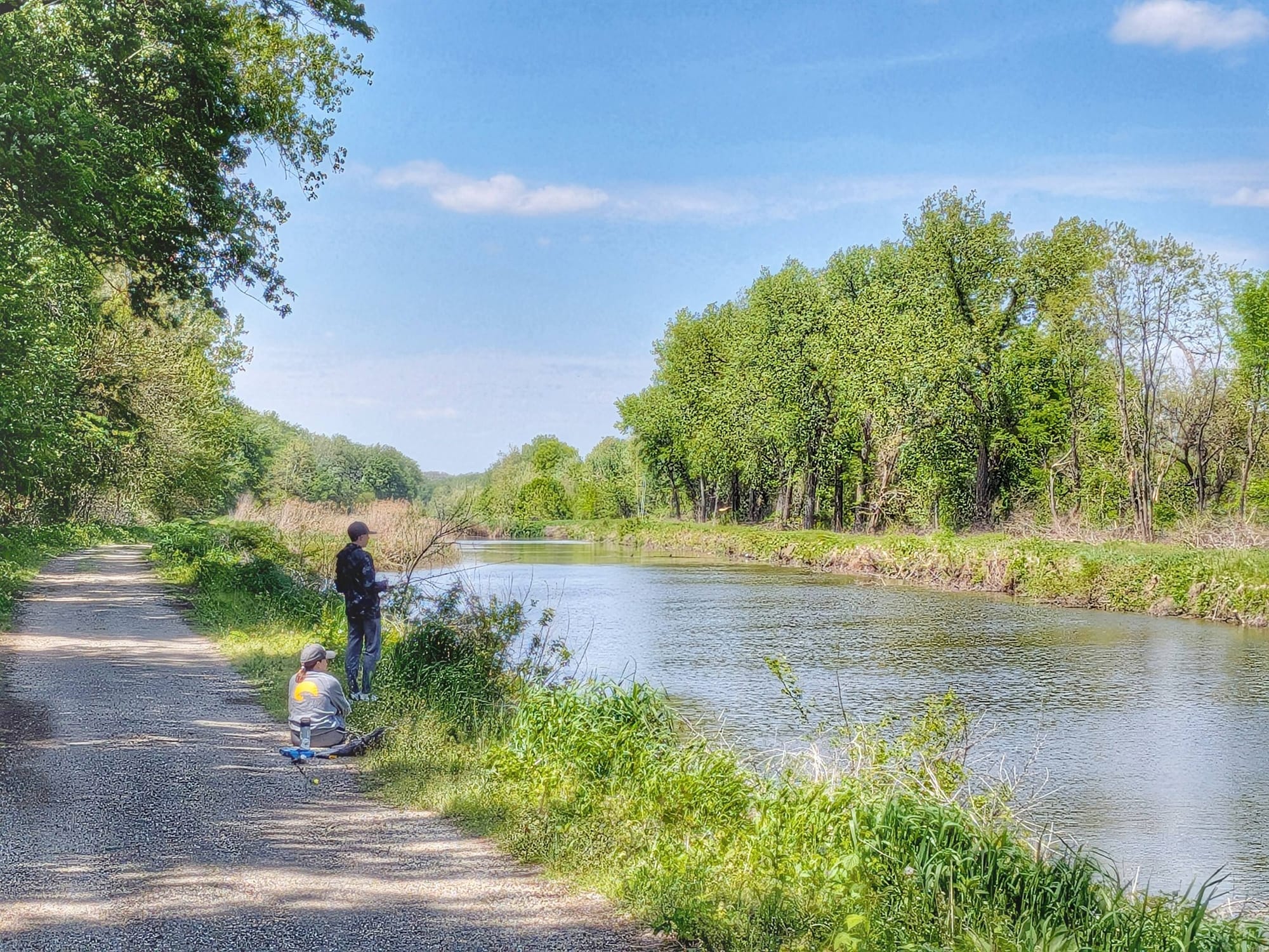
The Hennepin Canal Trail begins at Lock 3. Built between 1892 and 1907, the canal was designed as a shortcut for barge traffic between the Illinois River and the Mississippi — cutting roughly 400 miles off the journey to Chicago. It never became the commercial success its builders hoped, but what it left behind is a trail corridor of real beauty: restored locks converted into small aquatic cascades, fishing families spread along the banks, eastern flycatchers working the water's edge.
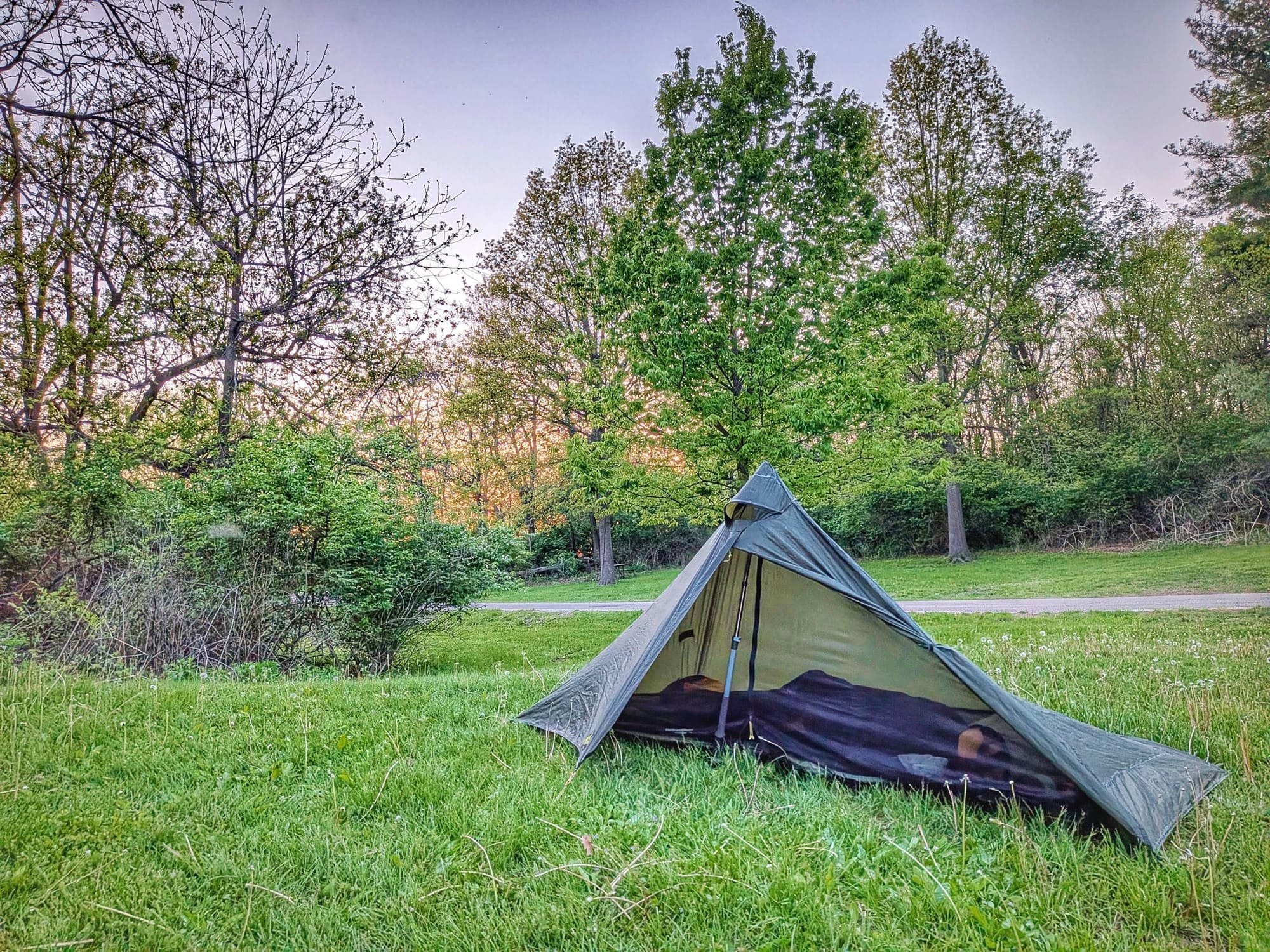
Bernie made it to Lock 21 campground at sunset — a 31-mile day. Mosquitoes were back. There was a water hydrant that most people miss. Both of those details are now in our data.
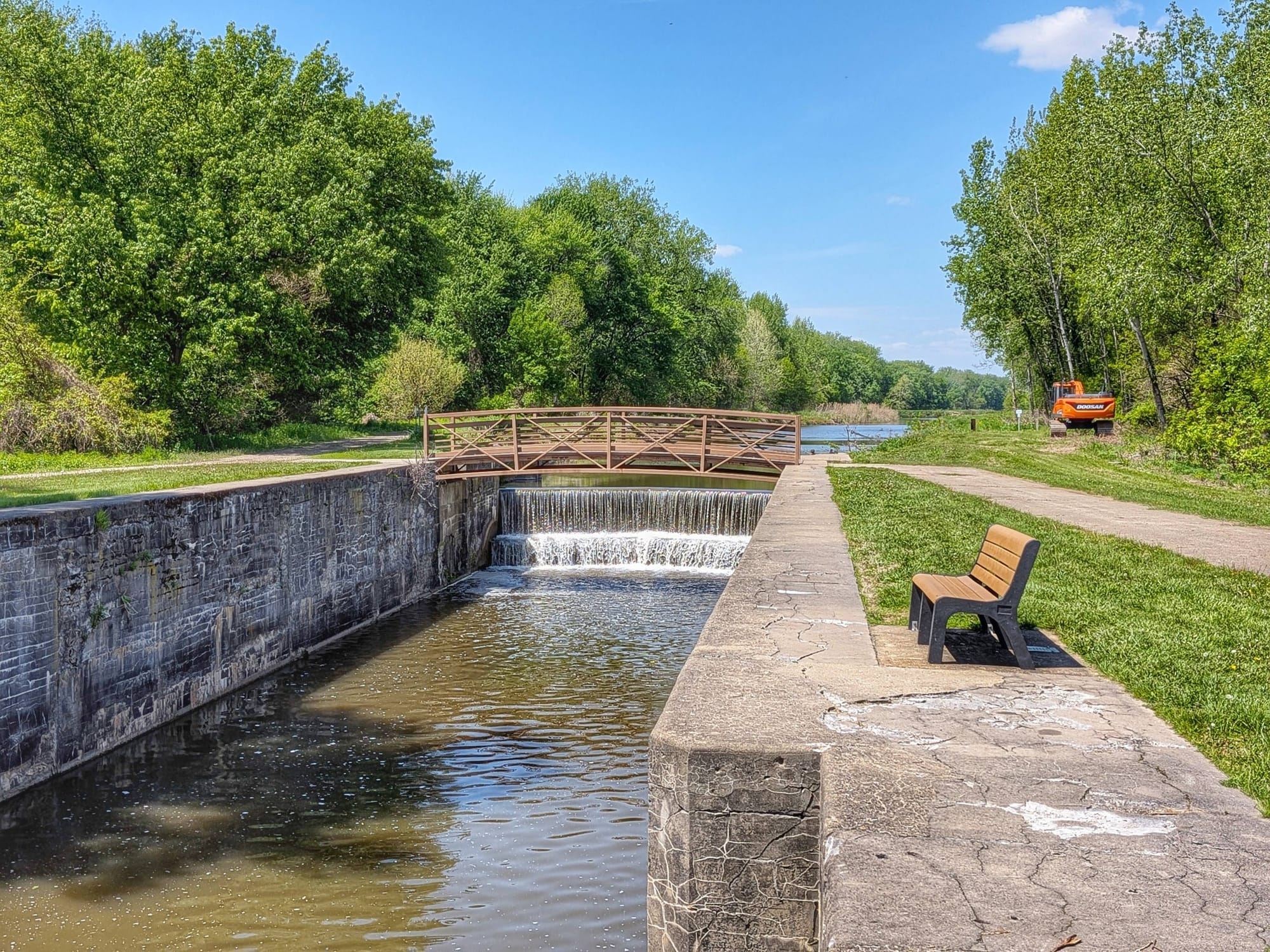
Important: Navigation Fix and GPS Reroute for Cyclists
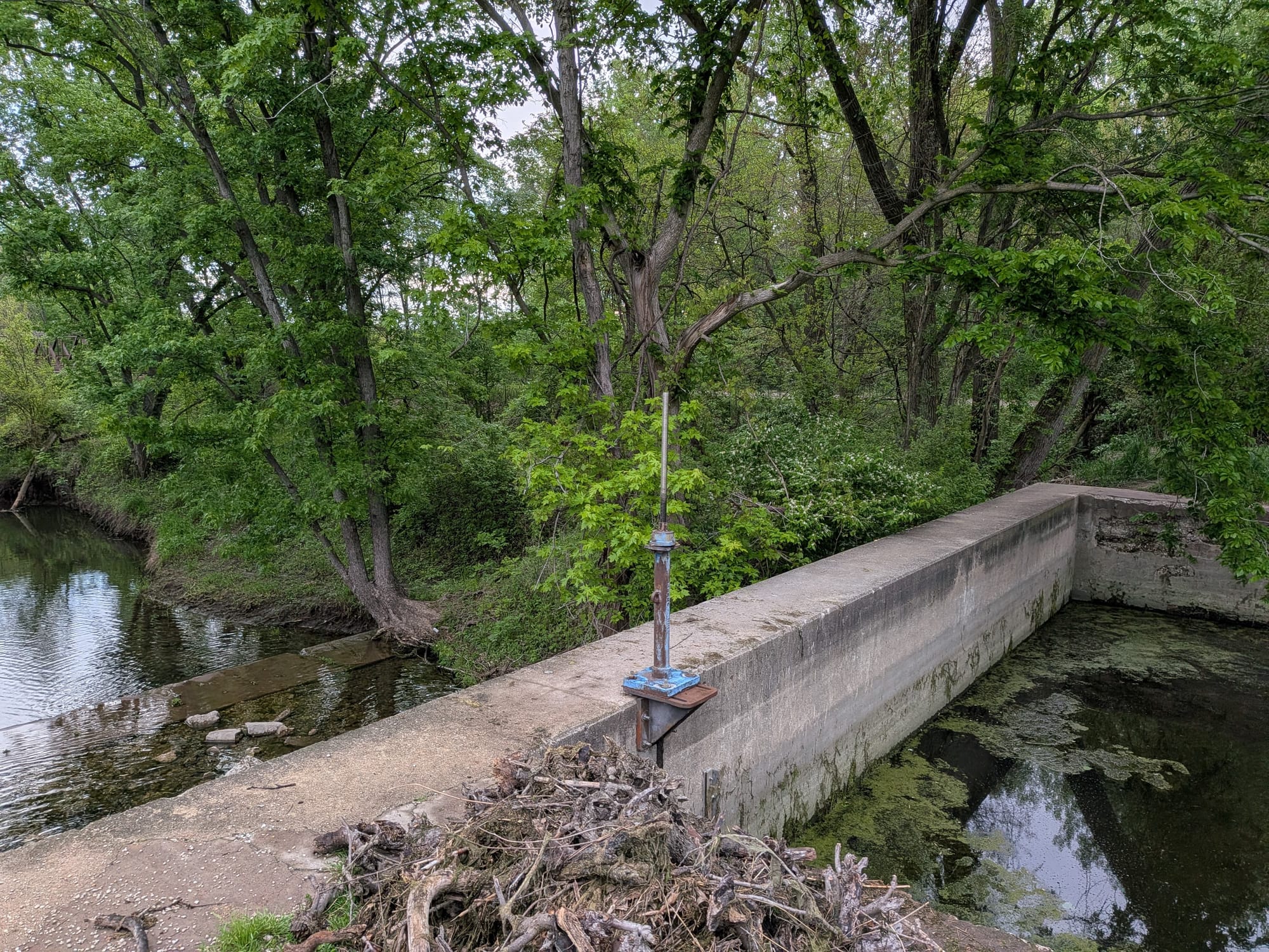
Here's where this week's field verification gets practically useful. At one point along the Hennepin Canal, the trail crosses the canal at a dam, but the crossing is a narrow concrete wall that's not passable with a loaded bike. If you're bike-packing the Great American Rail-Trail, this is not a place to find out mid-trip.
We've rerouted the GPS track at Lock 26, which provides a much more manageable canal crossing. That fix is now live in the Gaia GPS data.
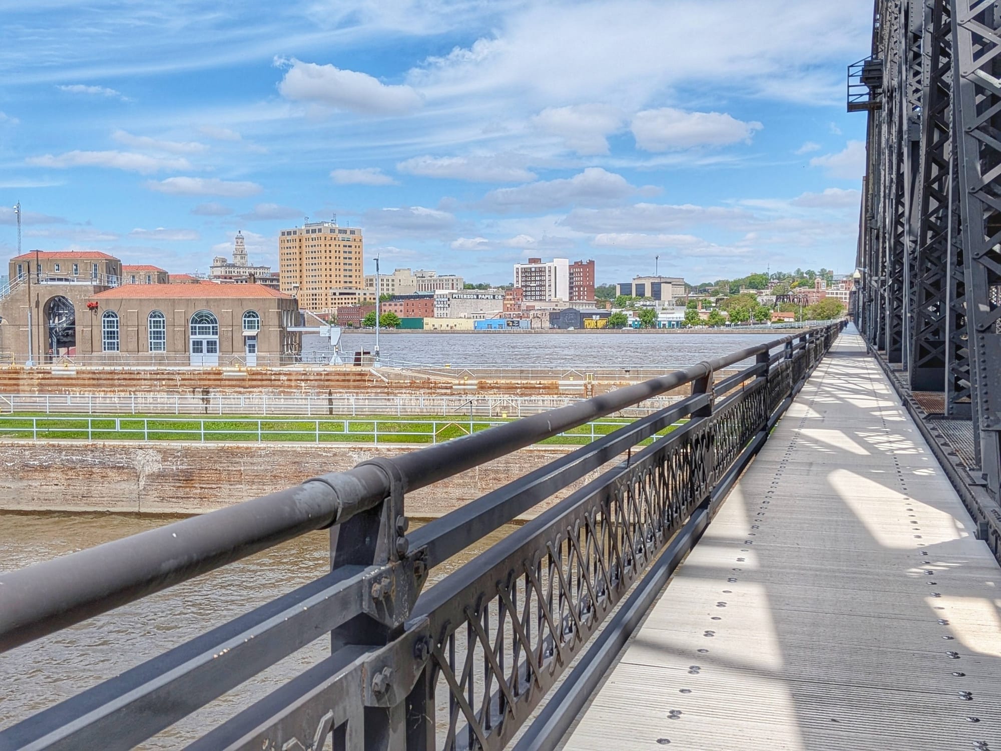
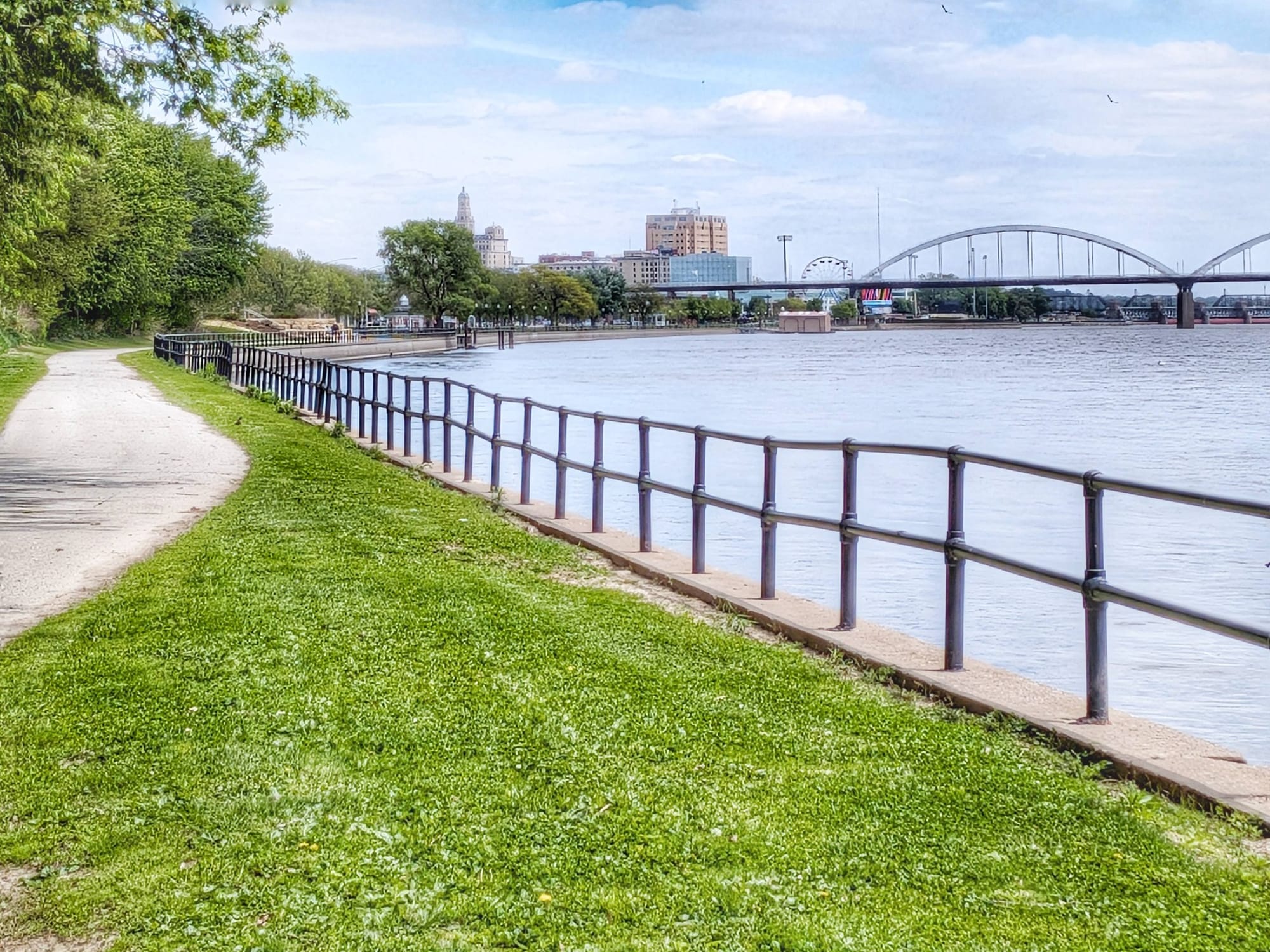
Crossing the Mississippi: Moving the Journey from Illinois into Iowa
Day 39 brought Bernie into Moline along the Mississippi River, and Day 40 was the crossing into Iowa. Blue skies, white pelicans on the water, and the Great River Trail leading him toward Davenport. Two years ago, during his American Discovery Trail thru-hike, this stretch was flooded and closed — sections of both the trail and the shoreline roads near Davenport were underwater. This time, Bernie walked it cleanly.
The crossing from Illinois into Iowa is one of those moments on a thru-hike that carries its own weight. Another state behind you. Ahead: Nebraska, Wyoming, Montana, Idaho, Washington. Bernie tracked it simply — state completed, next state begun.
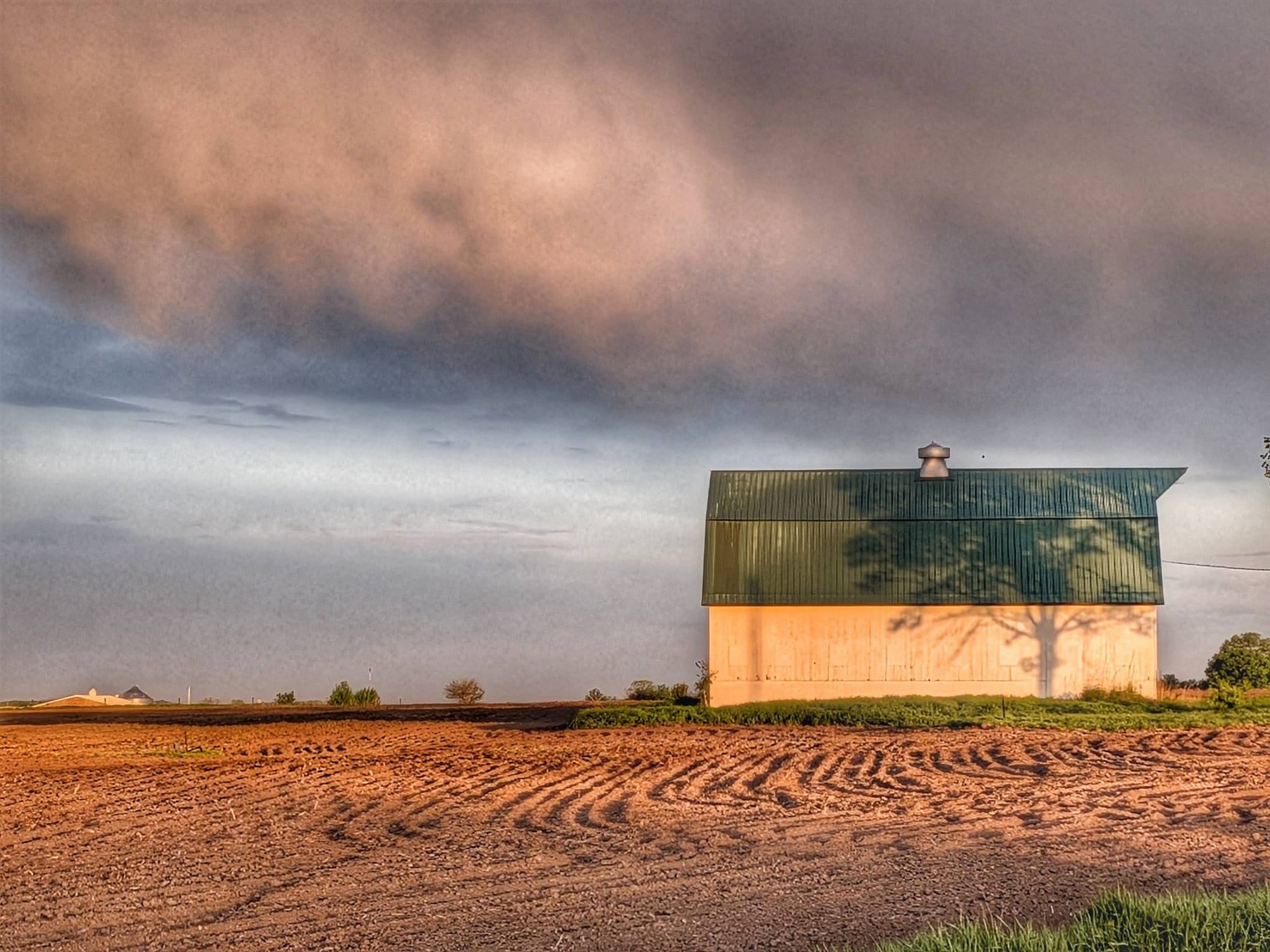
Iowa Leg: Weather Challenges and the Hoover Nature Trail
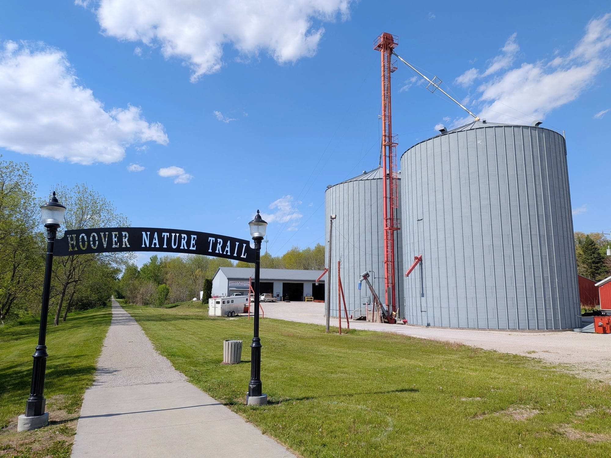
Iowa tested Bernie with rain. Day 41 brought a downpour that caught up with him at a McDonald's in Muscatine — where he'd stopped to charge his phone — and then continued on and off through the afternoon. He pushed through backcountry rural roads to reach the Hoover Nature Trail, named for the 31st President who was born in nearby West Branch. That day covered 31 miles and ended with a full arching rainbow.
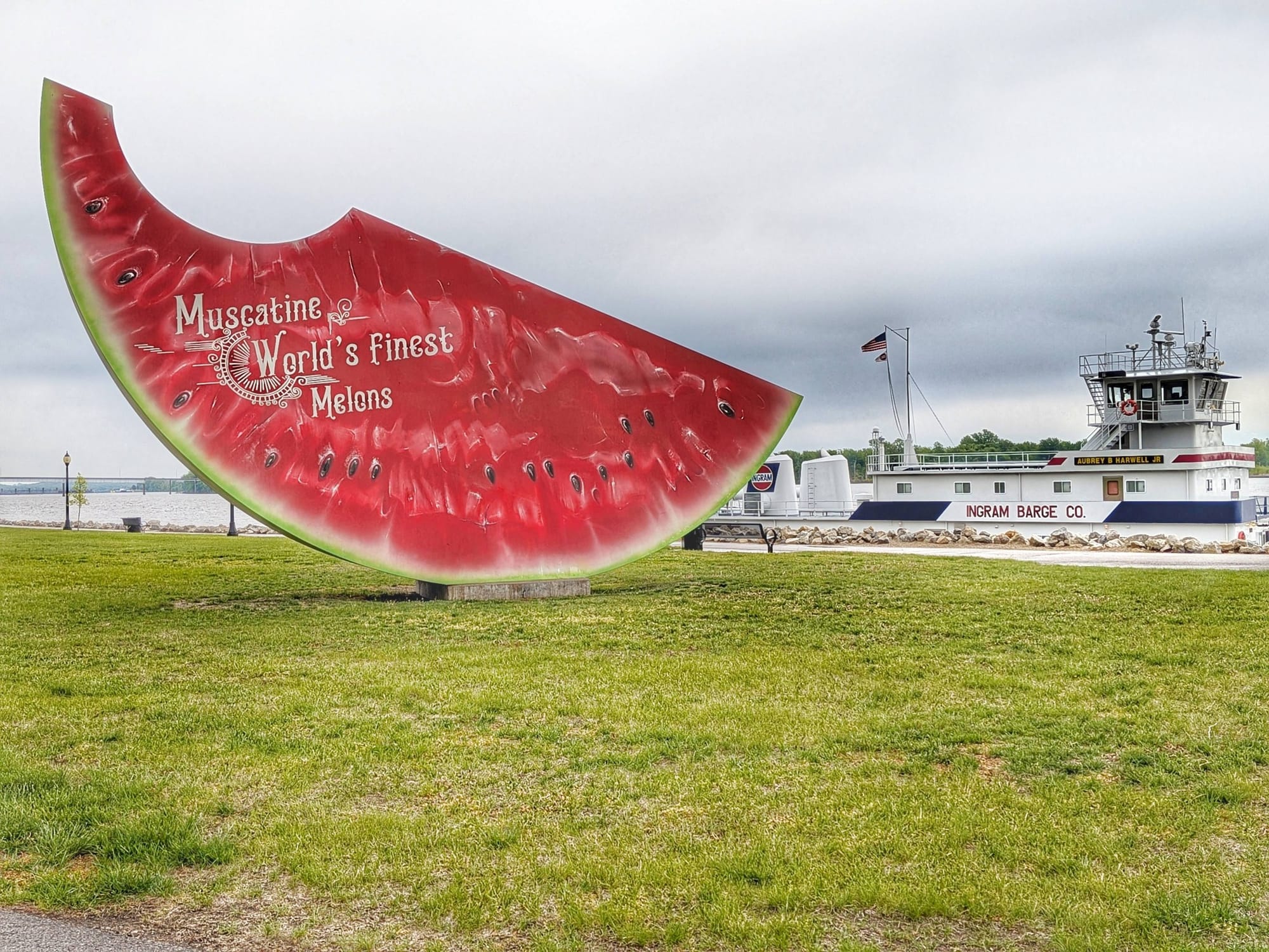
A farmer stopped to check on him. Near the Cedar River crossing, a farm stand offered water. The family there remembered Rhiis & Sara from their ADT journey, last year — they'd stopped to buy a watermelon. The trail community is smaller than it looks on a map.
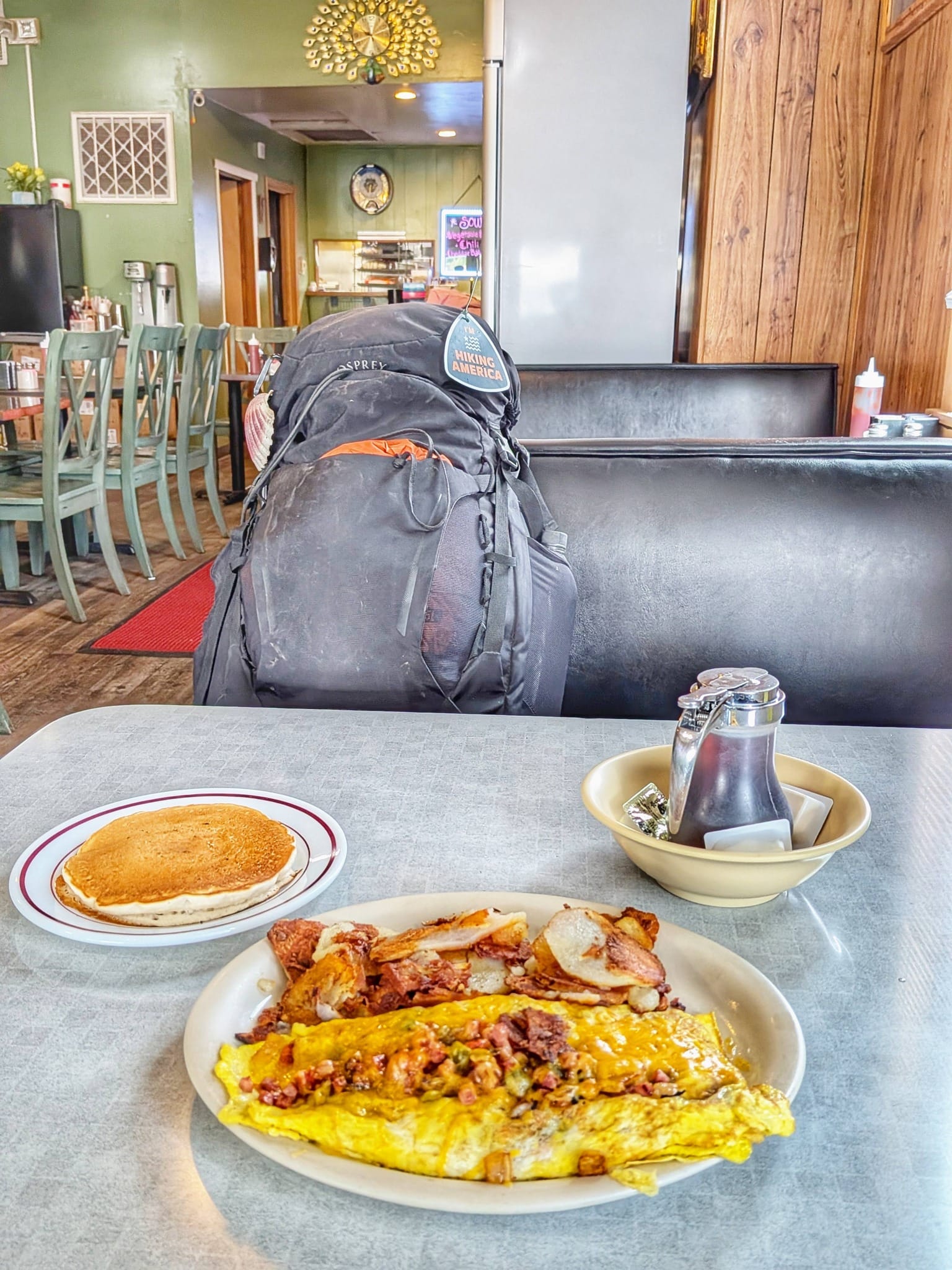
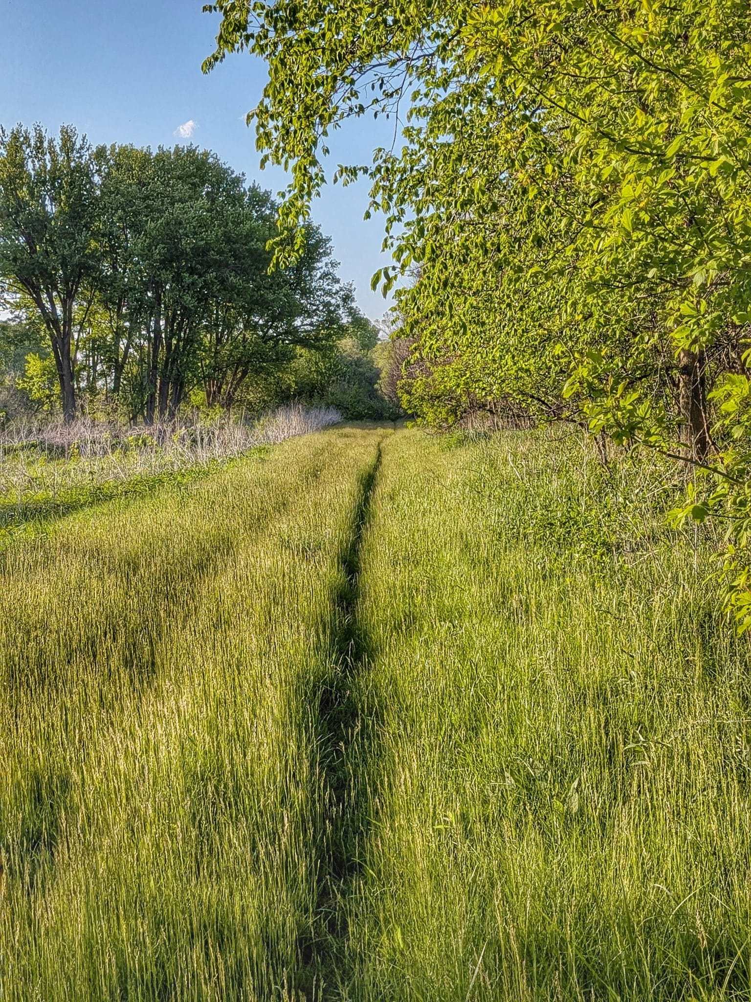
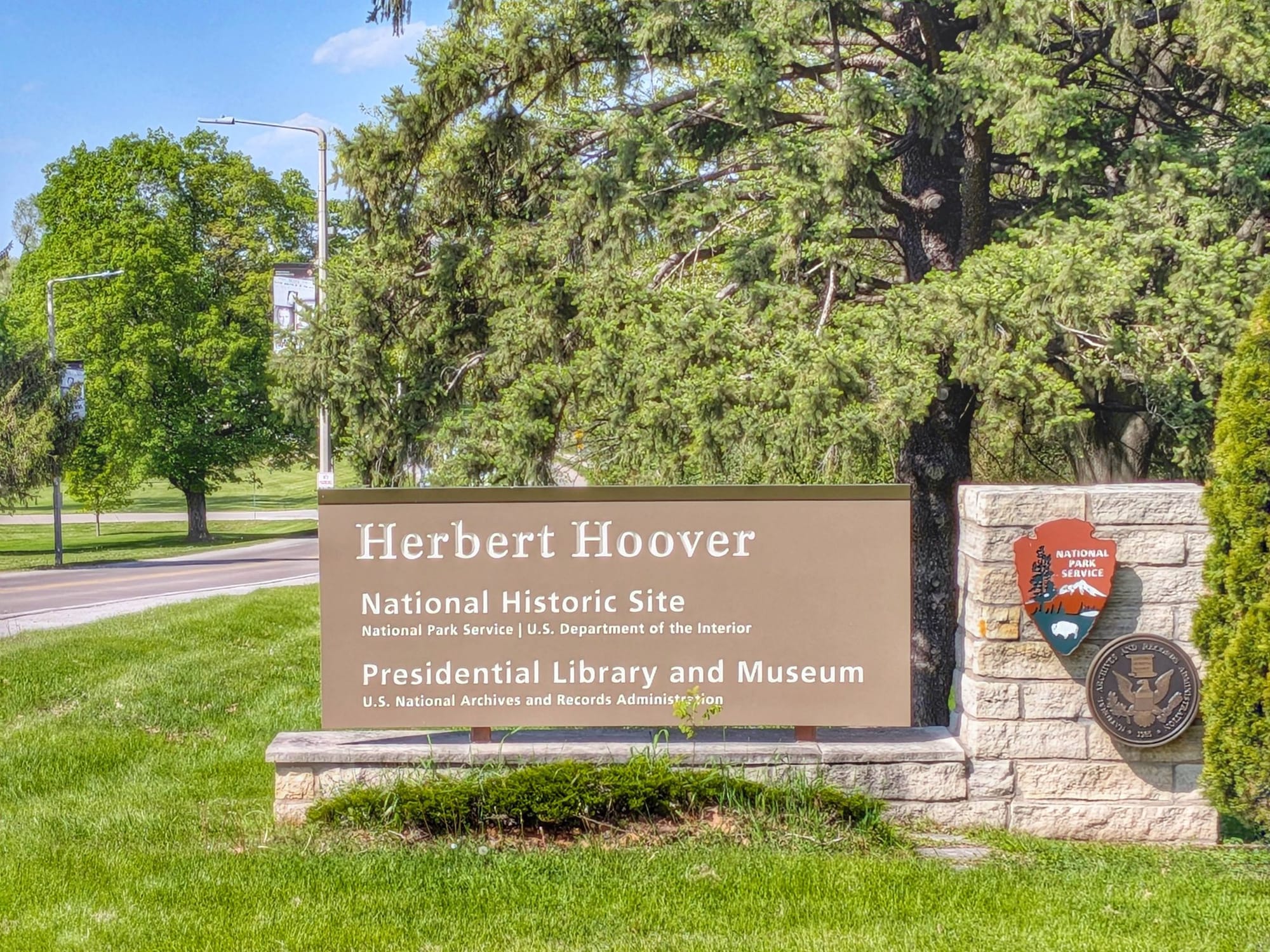
Day 42 brought Bernie through the Hoover Nature Trail in earnest — unpaved and grassy in sections, downed trees in the sleepy town of Nichols, wet shoes, and a breakfast stop at Arty's Sunnyside Cafe in West Liberty. Then West Branch, where he visited the Herbert Hoover Presidential Library before continuing west on the fragmented final miles of the Hoover Nature Trail.
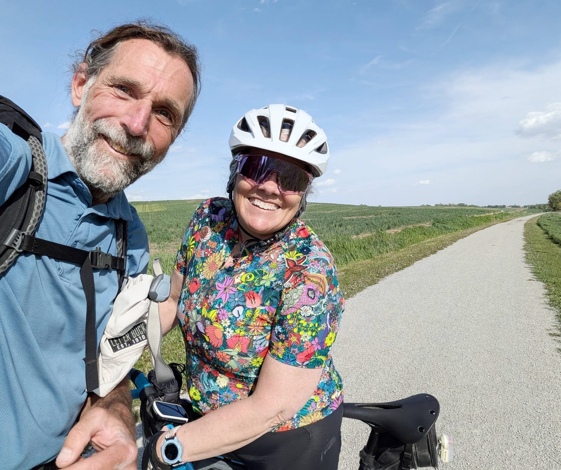
The week ended with a quiet moment of connection: a cyclist named Mindy — last name Krause, one S — spotted Bernie's Camino de Santiago scallop shell and stopped to talk. She'd seen the film The Way. Something had nudged her out for an unexpected ride that morning. Bernie noted it the way he notes most things: as something the trail arranged.
Bernie Krausse
Great American Rail-Trail - Westbound
Started: March 28, 2026
Support Links: ImHikingAmerica, Facebook, Venmo, PayPal Donate
Field Intelligence Summary: Updated GPS Data and Service Waypoints
This week's field work produced meaningful data refinements across the Illinois-Iowa corridor:
Gap 30 has been updated. The Hennepin Canal track has been updated at both the western terminus and the Lock 26 reroute described above. Gap 33, which routes through Muscatine, Iowa, has been adjusted to bring hikers closer to resupply services. Gap 36, between Solon and Oasis, Iowa, has been updated. Bernie added 37 waypoints covering Illinois before the Mississippi crossing, and 34 more covering Iowa and Nebraska.
The Hennepin Canal reroute at Lock 26, the Muscatine gap adjustment, the Solon-to-Oasis fix — all live now in the GPS data. Planning your own hike? Our Great American Rail-Trail hiker's guide has everything currently available, updated as Bernie moves west. 🥾
In addition, Hiking America Subscribers will find
- 71 new Services Waypoints - 4,000+ and counting
The data is being built in real time, the way it should be — by someone walking it.
Bernie is now in Iowa and moving west. Week 7 ahead.

Hiking America Credential Hang Tag
Recognized by trail angels, hostels, and fellow hikers nationwide!
Get your Custom Hiking America Hiker Tag!
Only $19 for a Limited Time!
Always Free to Hiking America Members.