
The Batavia to Williamsburg, Ohio Alternate Route. Why?
'When to Detour or take an Alternate Route' is probably the most controversial topic of conversation in Hiking America on the American Discovery Trail. But there are times when it just makes all the sense in the world! We would love to know what you think.

Updated May 8, 2022
to indicate additional camping areas in East Fork State Park
I know, I know. 'When to Detour or take an Alternate Route' is probably the most controversial topic of conversation in Hiking America on the American Discovery Trail. Purists may want to follow precisely every step and turn on the "Official Turn by Turns" of the ADT Society.
Unfortunately, that's not always possible because either 1) the base trail has changed routes – as the extensive new reroutes of the Buckeye Trail that hasn't made it into the ADTS' databooks yet, or 2) conditions on the trail have changed – like in Kansas which now prohibits pedestrians on the road through a Bison range.
And then there are those times when 3) it just makes all the sense in the world!
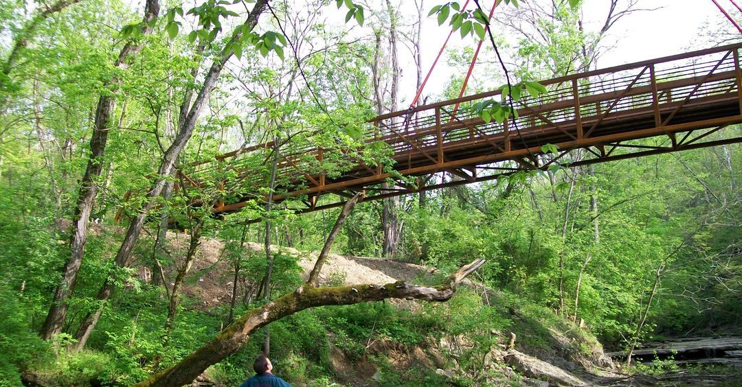
In Ohio Segment 2: Cincinnati to Mt Orab (btw - lots of Hiker Notes added today), the official American Discovery Trail route passes through the East Fork State Park, east of Cincinnati, and follows a meandering series of trails around the south shoreline of William Harsha Lake. While there are no resupply services along the route, there are two Backpack Campsites which include shelters, fire pit, picnic tables, and outhouses.
With the opening of the new Williamsburg-Batavia Hike Bike Trail on the north side of William Harsha Lake, we have added an alternate route. The route passes the East Fork State Park's Campground AND drops you in Williamsburg, a town teeming with services, AND is 17.41 miles shorter than the 'official' route.
For you 'Visual Learners' like me, here are both routes — the ADT Society official route in RED and The ADT Guide Alternate Route in PURPLE.
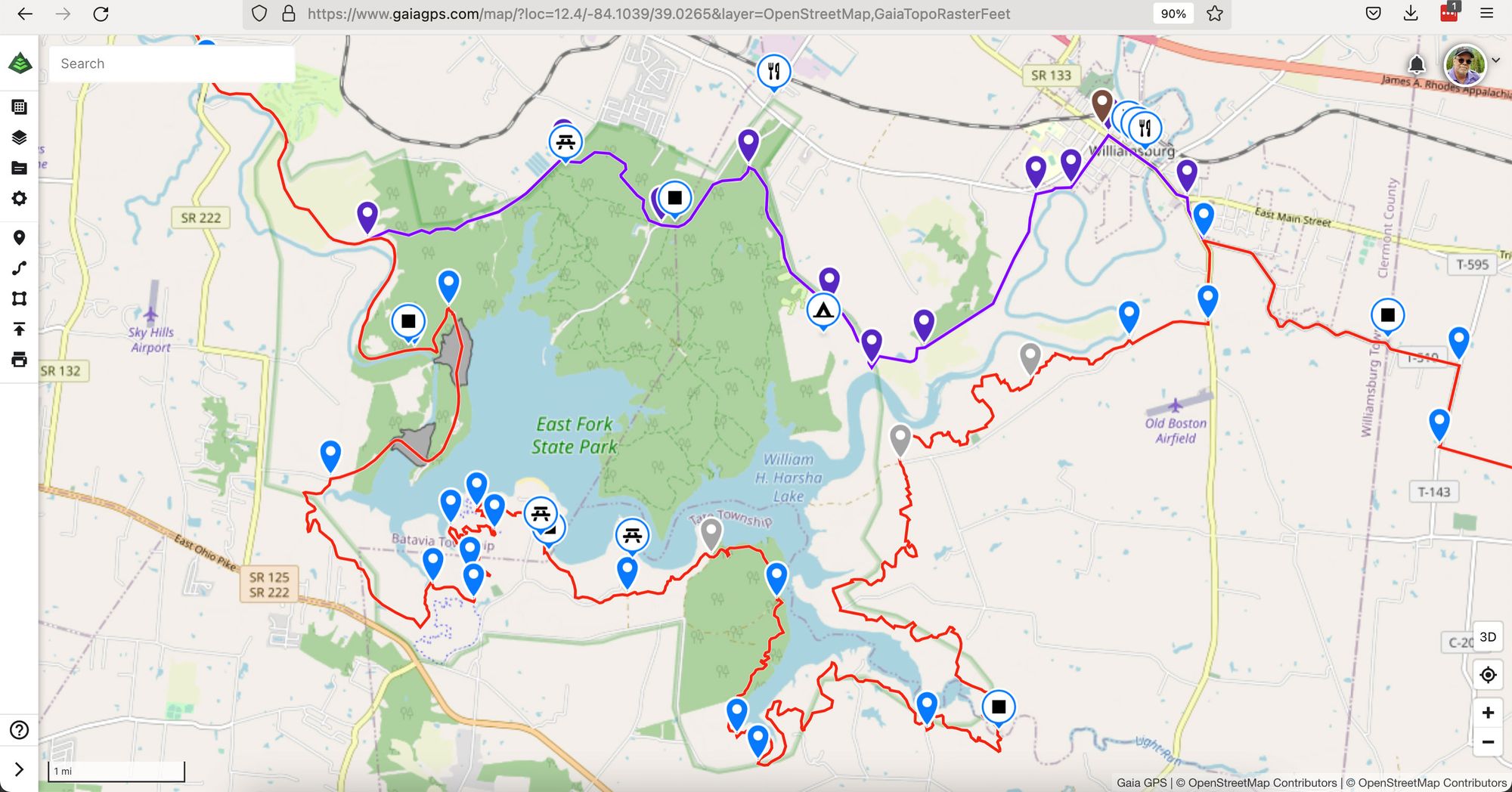
The state park's campground is located near the center and food and resupply services in Williamsburg are in the upper right.
This makes so much sense we are considering making this our primary route through this area. I would love to hear your thoughts directly - john@johnwesleybrett.com or john@ADTGuide.com
Hike Your Hike – John.