
Ohio on the American Discovery Trail
Ohio — The Southern Route
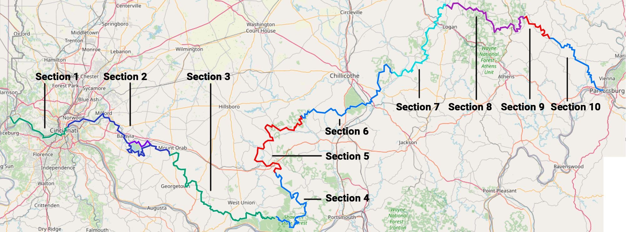
The southern branch of the American Discovery Trail covers about 478 miles across Ohio, in ten dual-directional segments. It runs from the junction west of Cincinnati, where the northern and southern routes divide, to the Ohio River at the West Virginia line.
The western end is city walking — downtown Cincinnati, the riverfront, and two crossings of the Ohio River, one of them a loop through Northern Kentucky. East of the city the route joins the Buckeye Trail and stays with it for the rest of the state: the Shawnee State Forest backcountry, the earthworks at Serpent Mound and Fort Hill, the sandstone gorges of the Hocking Hills, and the old coal ridges of Perry and Morgan counties.
Segment Guides
The Cincinnati riverfront
The western segments are the trail’s only real city walking in Ohio. North Bend holds the William Henry Harrison Memorial and Tomb, the hilltop resting place of the ninth president, who served the shortest term in the nation’s history — thirty-one days. Just downstream, the Anderson Ferry has carried travelers across this reach of the Ohio River for generations; it takes the route over to the Kentucky bank for a loop through Bromley, Ludlow, and the hilltop overlooks of Covington’s Devou Park. The Roebling Suspension Bridge — the 1866 span John Roebling built before the Brooklyn Bridge — carries it back into downtown Cincinnati, within reach of Eden Park, the free Cincinnati Art Museum, and a helmeted winged-pig sculpture left over from the city’s 2000 “Big Pig Gig.”

Onto the Buckeye Trail
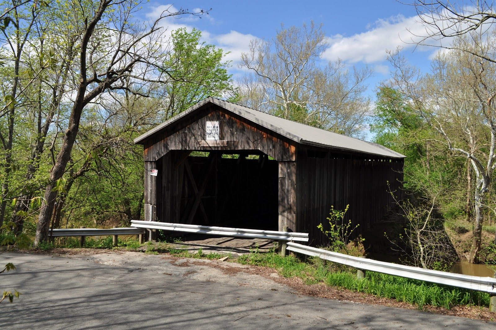
East of Cincinnati the American Discovery Trail joins the Buckeye Trail, the roughly 1,400-mile loop it shares for nearly all of southern Ohio. Near Milford the corridor reaches “The Junction,” where several rail-trails and footpaths meet in the Little Miami country. Brown County carries two covered bridges in the White Oak Creek watershed: the Brown Covered Bridge, a Smith-truss span from 1878, and the New Hope Covered Bridge, a 160-foot Howe truss from 1886. Both are on the National Register of Historic Places.
Shawnee State Forest
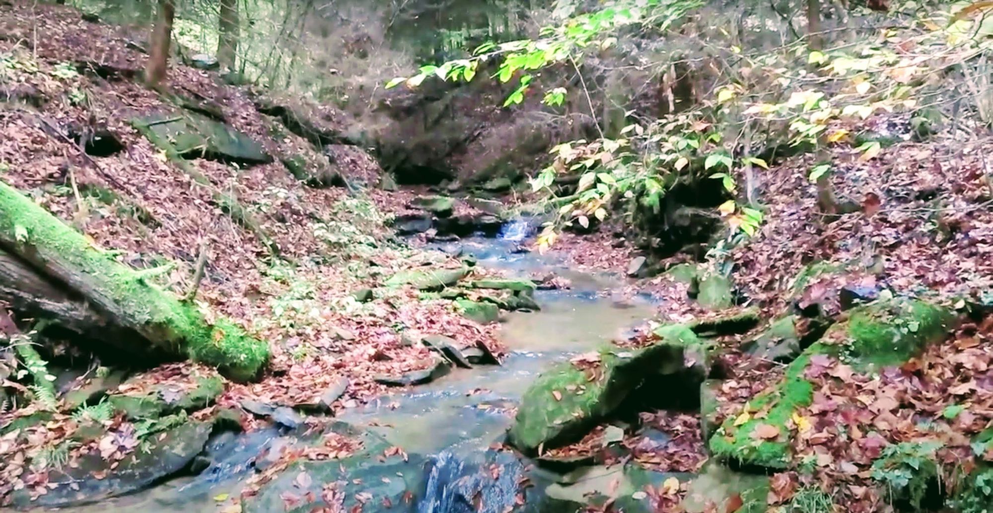
Adams County holds the wildest forest on the route. Shawnee is the largest state forest in Ohio, a dense weave of steep ridges and narrow hollows that has earned it the nickname “the Little Smokies.” The Backpack Trail threads remote walk-in camps and skirts land held by the Nature Conservancy. This is genuine backcountry — little traffic, few services, and water sources worth planning around.
Serpent Mound and Fort Hill
The interior crosses some of the oldest human work in the Midwest. Serpent Mound is the largest surviving effigy mound in the world — a coiled earthen snake roughly 1,348 feet long, its head aligned with the setting sun of the summer solstice. Not far east, Fort Hill preserves a hilltop enclosure of earthworks from the same ancient cultures, and Spring Creek Arch adds a natural stone span nearby. The whole region sits inside the eroded remains of a prehistoric meteor-impact crater.

The Scioto backcountry
The Pike and Ross county miles are the least maintained on the southern route. Here the Buckeye Trail runs through remote hill country where blowdowns, overgrowth, and faded tread are common — this is where GPS earns its place. It is the quietest stretch of the crossing, and the one that asks the most in route-finding.
The Hocking Hills
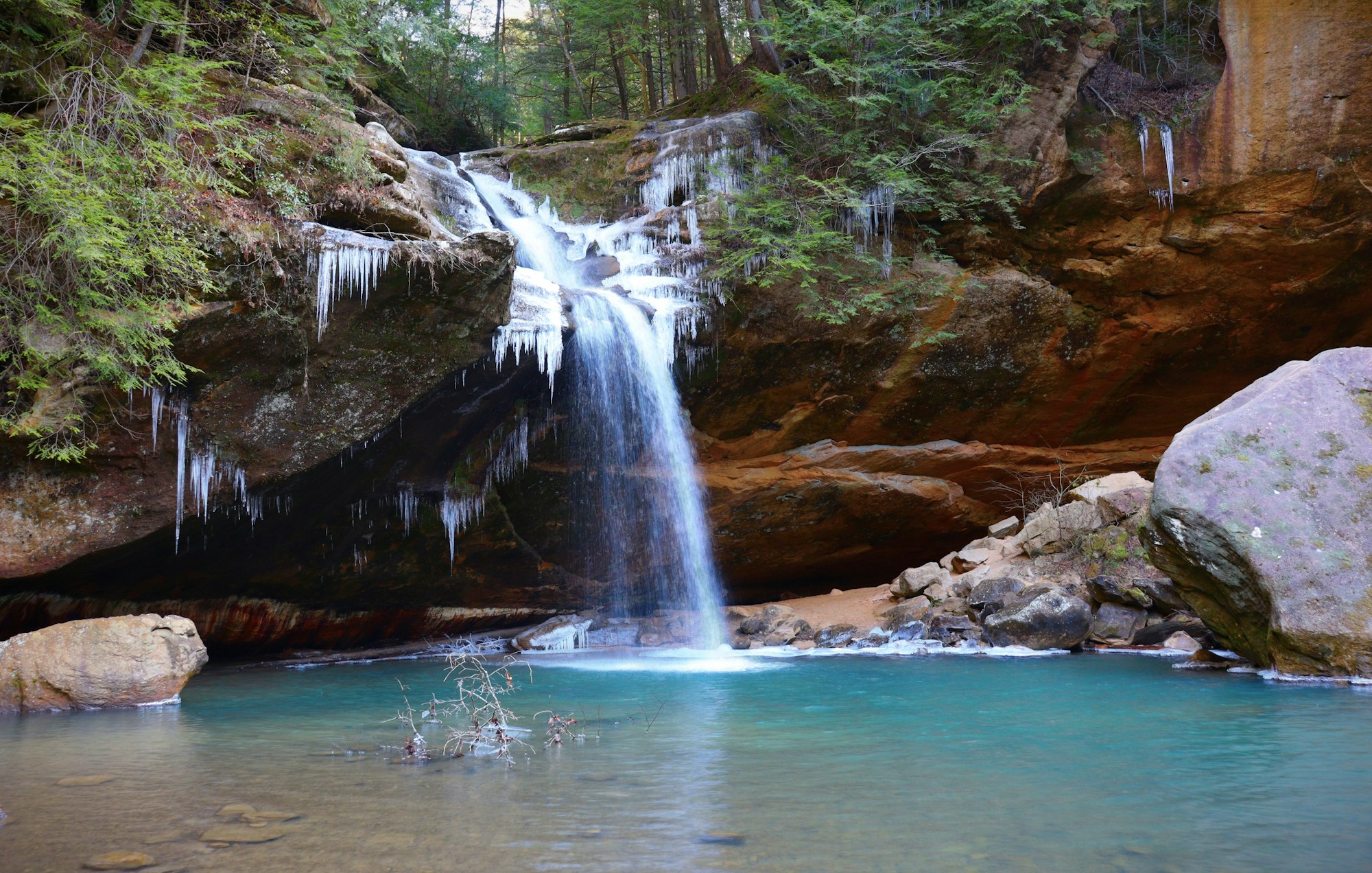
The scenic high point is the Old Man’s Cave section of the Buckeye Trail, through the Hocking Hills. Ash Cave — the largest recess cave in Ohio, a horseshoe of Blackhand sandstone with a seasonal waterfall over its rim — sits directly on the route. Chapel Cave, named for its arched, church-like mouth and said to be large enough for twenty-one horses and their riders, lies a little to the north. Deep gorges, hemlock, and sandstone define the most-visited hiking country in the state.
Coal country to the river
The eastern segments cross the old mining ground of Perry and Morgan counties, past New Straitsville and the backcountry of Burr Oak, where the route briefly shares tread with the North Country National Scenic Trail. A short connector links the Stockport section to Chesterhill. Two landmarks close out Ohio: the Shinn Covered Bridge, built in 1886 by local carpenter Charles Shinn, and the Jonathan Stone House of 1799 — the oldest house in Belpre, raised by a veteran of the Continental Army. At Belpre the route meets the Ohio River a final time and crosses into Parkersburg, West Virginia, where the West Virginia guide picks up.
Timing and terrain
Ohio’s southern route is a three-season walk for most, and a real hill state in the middle. The river cities at the western end are low and walkable much of the year, but the long Buckeye Trail interior — Shawnee, the Scioto country, the Hocking Hills — runs ridge and hollow, with steep short climbs, stream fords, and tread that overgrows fast in summer. Spring and fall are the kindest windows; summer brings heat, humidity, ticks, and heavy leaf-out that hides blazes. Winter opens the sightlines but leaves ice storms and blowdown behind. Across the whole interior, current GPS data does more for you than any signage.
Water, resupply, and camping
Resupply is easy at the ends and lean in the middle. Cincinnati and its river towns have everything, and the eastern towns — Chesterhill, Belpre, and the New Straitsville area — cover the far end. The long interior is where to plan ahead: services thin out across Shawnee, the Scioto backcountry, and the Hocking Hills. Legal camping ranges from state-forest walk-in sites to backpack shelters, with several nature preserves closed to camping entirely. Water is reliable in the towns and at developed sites; across the ridges, treat what you find and carry extra through the dry stretches. The segment guides carry the current, waypoint-level detail — trail angels, shelters, and specific water sources.
What an Ohio crossing looks like
City blocks and two river crossings at one end, a quiet farm-country run down to the Ohio at the other, and in between the longest, wildest stretch of Buckeye Trail the ADT touches. Ohio’s southern route rewards hikers who like solitude and hill country and don’t mind route-finding — the middle is remote and rough, the ends are easy, and the Hocking Hills alone are worth the crossing. 🥾