
Great American Rail-Trail Week 2: From Cumberland Over the Continental Divide
Great American Rail-Trail Week 2: Bernie Krausse walks from Cumberland over the Eastern Continental Divide, past the Darr Mine memorial, through Pittsburgh's steel skyline, and across three states in seven hours — field-verifying the westbound route into Ohio as he goes.

All photos by Bernie Krausse
Week two of Bernie Krausse's Great American Rail-Trail westbound thru-hike took him from the C&O Canal's final stretch into Cumberland, up and over the Eastern Continental Divide on the Great Allegheny Passage, through the industrial skyline of Pittsburgh, and out to the far edge of Pennsylvania — with the Ohio River and West Virginia border just one more sunrise away.
Bernie is the first person to field-verify our complete Great American Rail-Trail route for westbound hikers in 2026, and his dispatches are reshaping the waypoint dataset in real time. Here's what he saw this week, what he's marking for the hikers who'll follow, and what it's teaching us about building the definitive navigation resource for the nation's cross-country rail-trail.
Bernie Krausse
Great American Rail-Trail - Westbound
Started: March 28, 2026
Support Links: ImHikingAmerica, Facebook, Venmo, PayPal Donate
Here's what he saw, what he walked through, and what he's marking for the rest of us who'll follow.
Leaving the Canal, Meeting the Mountains
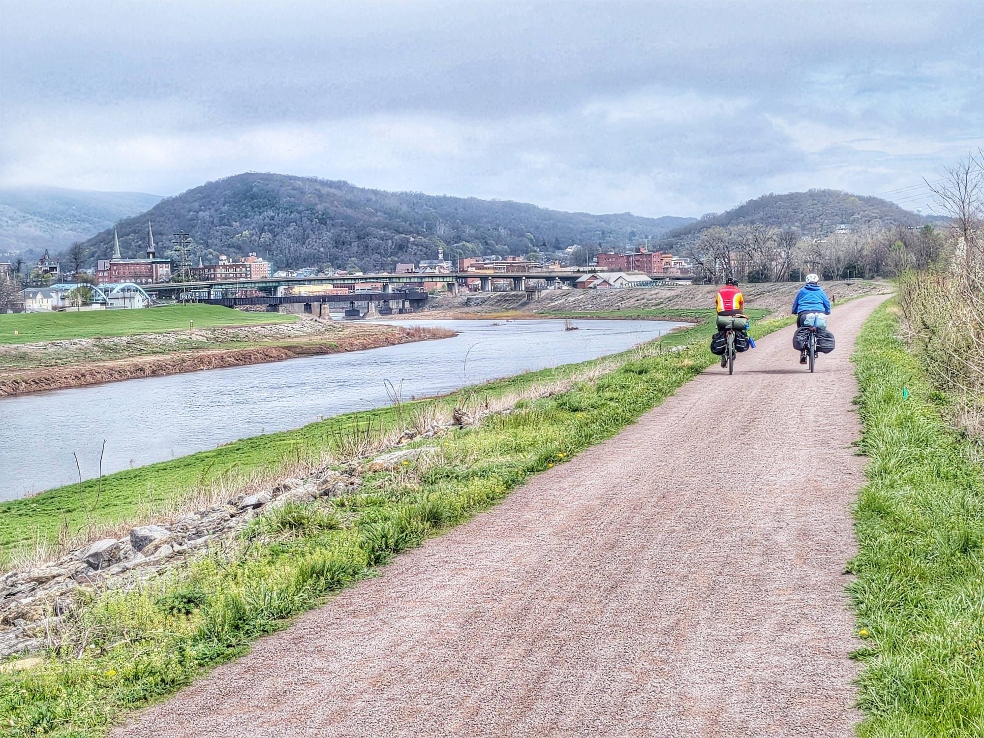
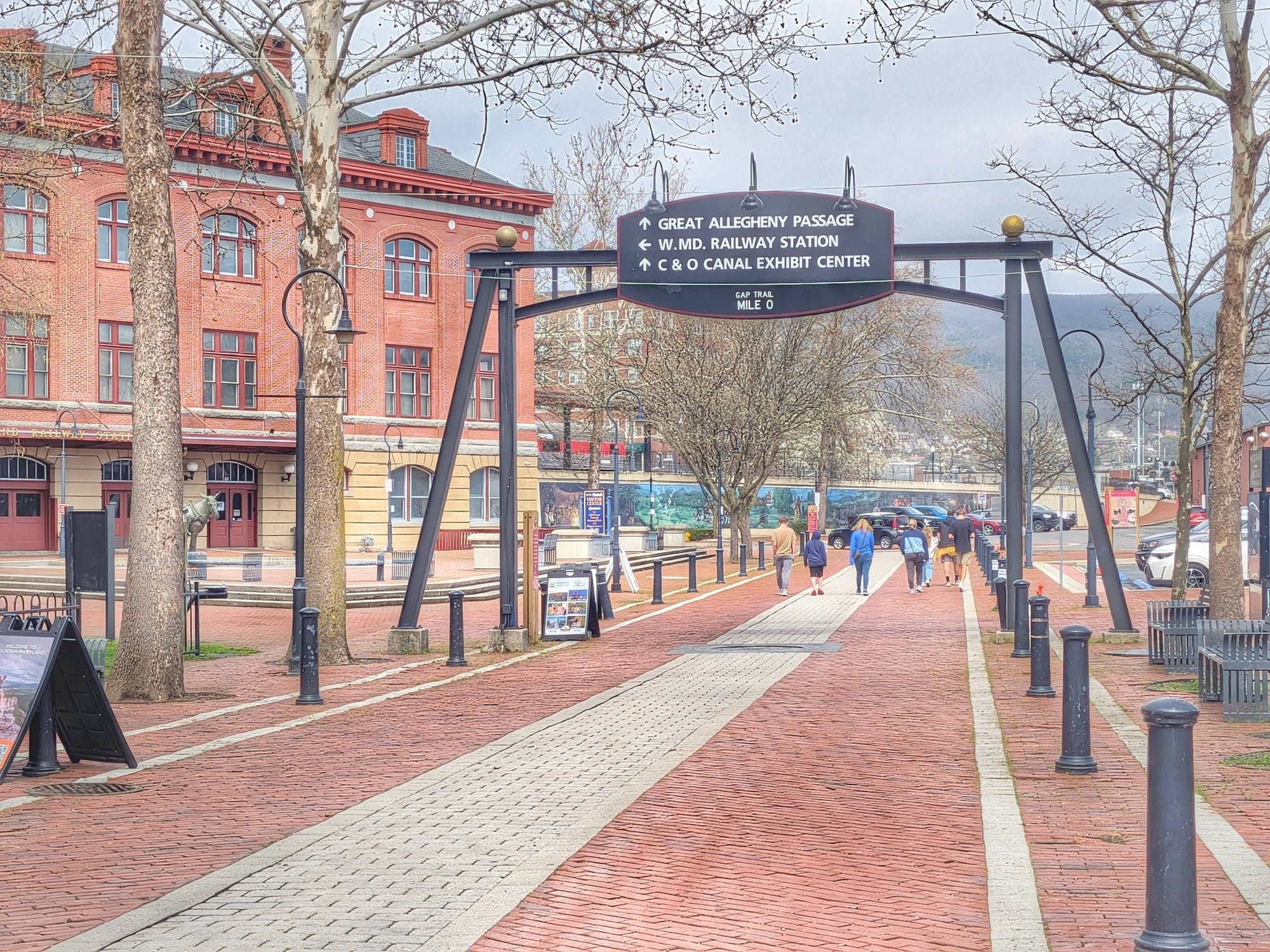
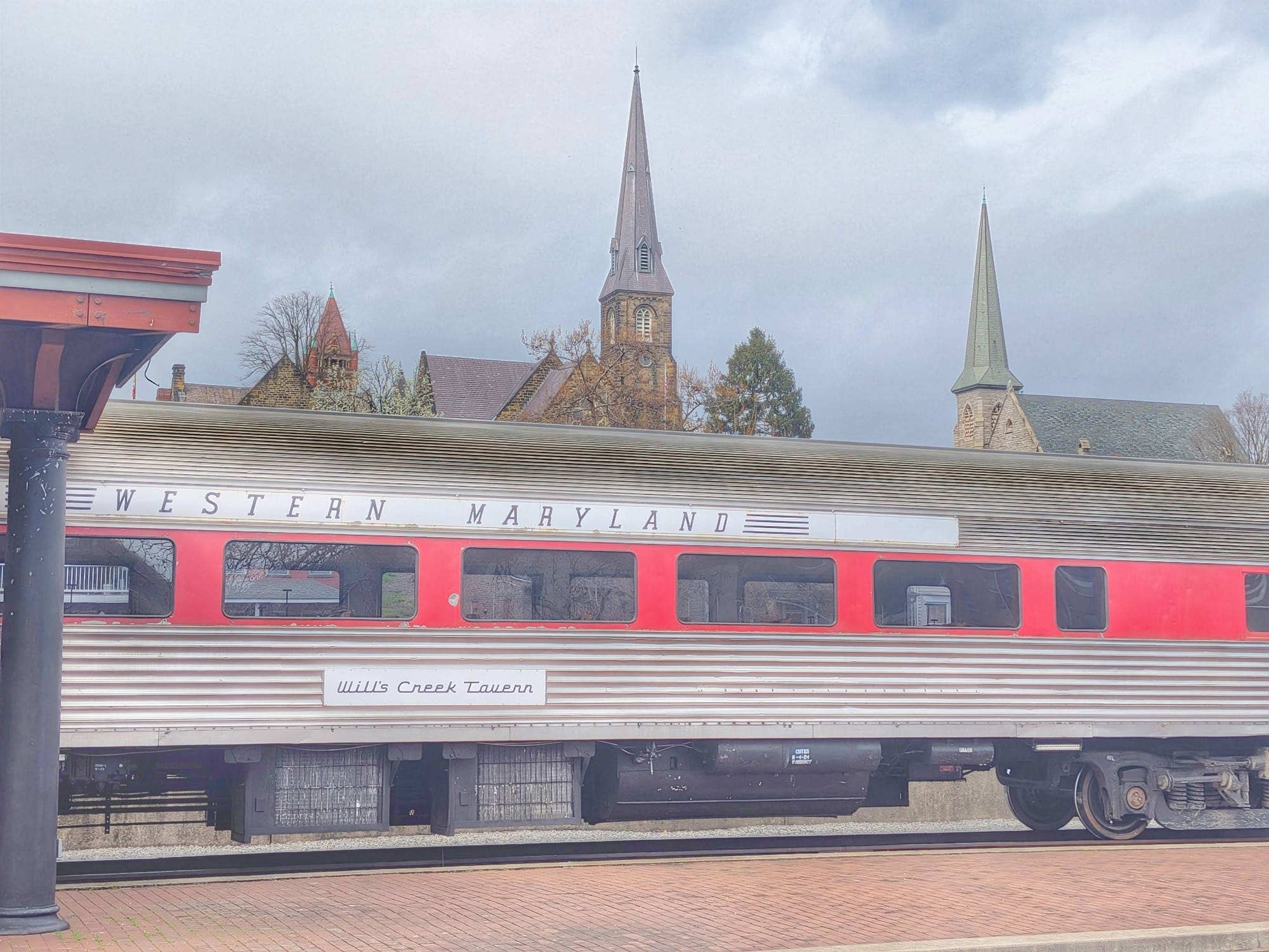
Bernie rolled into Cumberland on the morning of April 3rd to resupply before transitioning from the C&O Canal Towpath onto the Great Allegheny Passage at Canal Place (above). The Red-Winged Blackbirds were already showing off in the cattails — nesting season coming in.
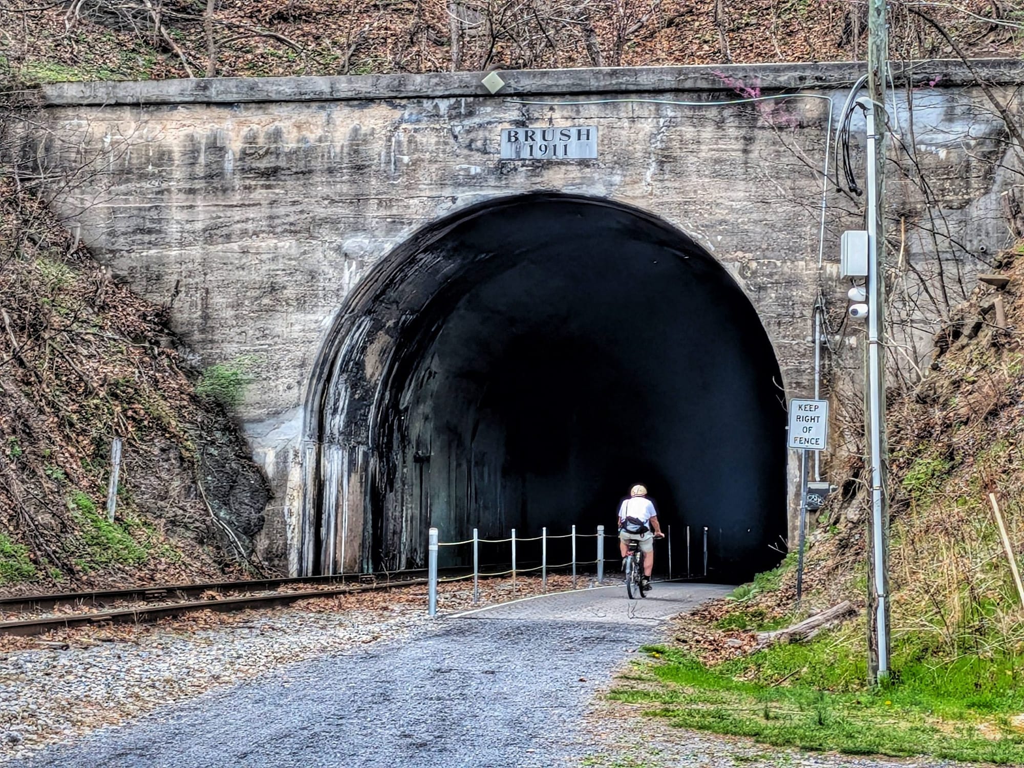
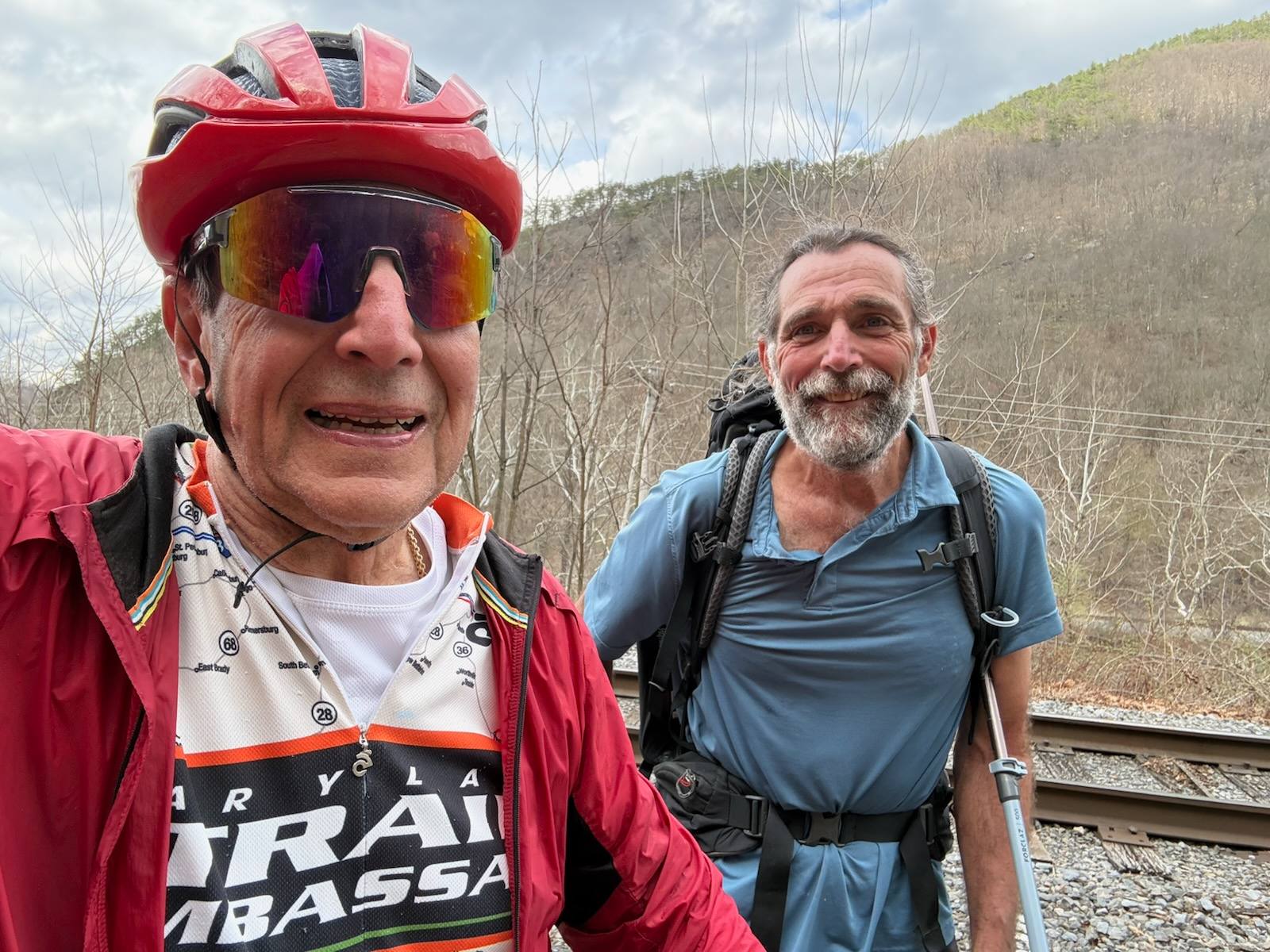
He logged his first 33-mile day of the week walking through Frostburg, past a semi-active rail line that still services a tourist train, and through the Brush Tunnel. A Mennonite family cycling together was one of the small, human moments that's becoming a theme of these dispatches. He met Larry, an unofficial ambassador of the rail-trail who made a point of telling Bernie he knew he wasn't homeless — the kind of exchange that tells you something about how long-distance hikers read to small-town eyes.
Over the Top
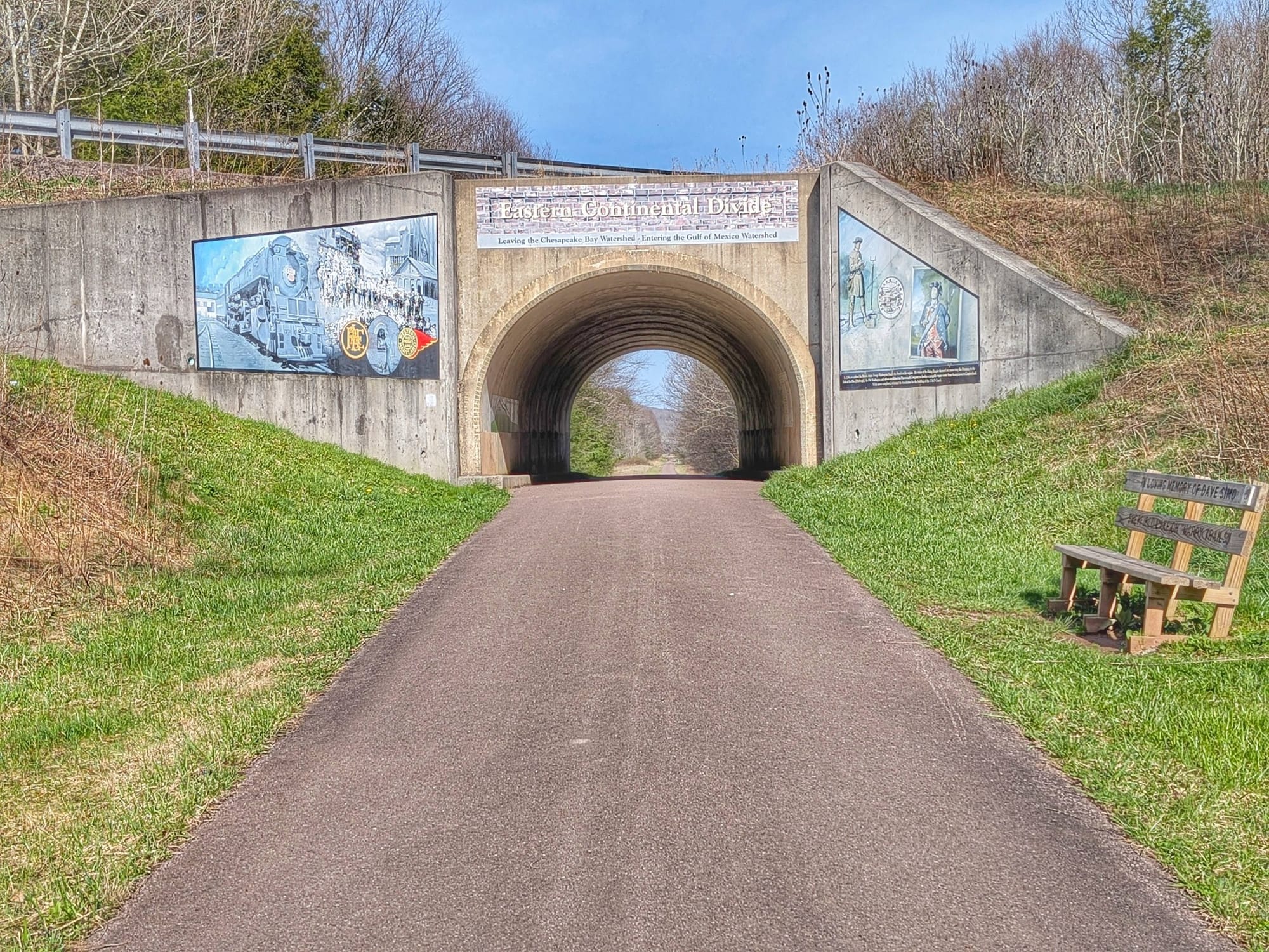
April 4th brought the first real climb. After Frostburg, the tracks disappear, and the path becomes a gravel recreational trail. Bernie crossed into Pennsylvania at the Mason-Dixon Line monument (video), walked through the half-mile-long Big Savage Tunnel (lit within — easy foot travel), and topped out at the Eastern Continental Divide at 2,392 feet.
From there, as he put it, 'it's all downhill to Pittsburgh.'
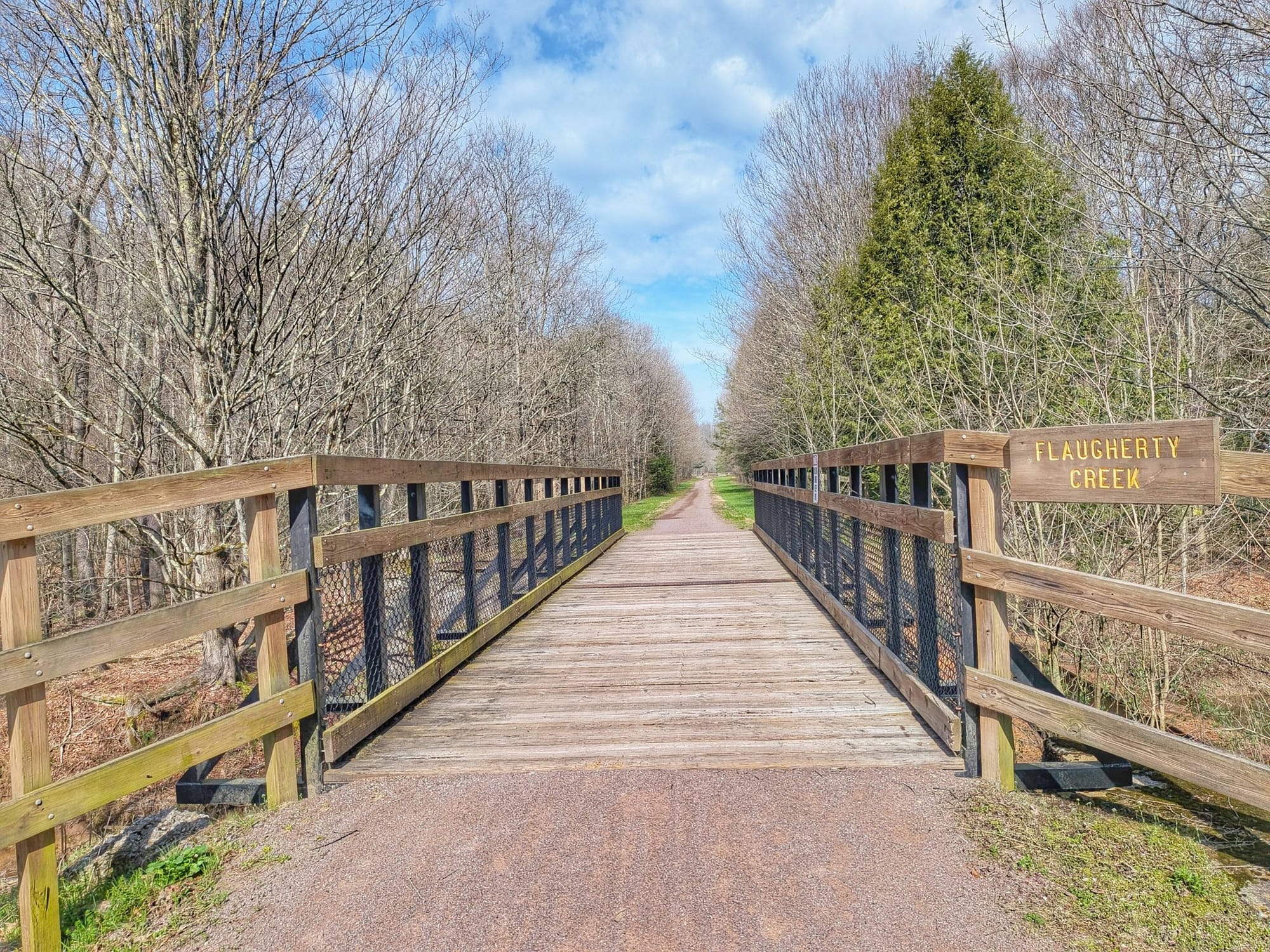
A few waypoints worth flagging from this stretch:
- Flaugherty Creek is a destination for the first day of trout season. Private land, but trespassing is allowed as long as you pack out what you pack in.
- A Mennonite farm along the route sells fresh produce and baked goods.
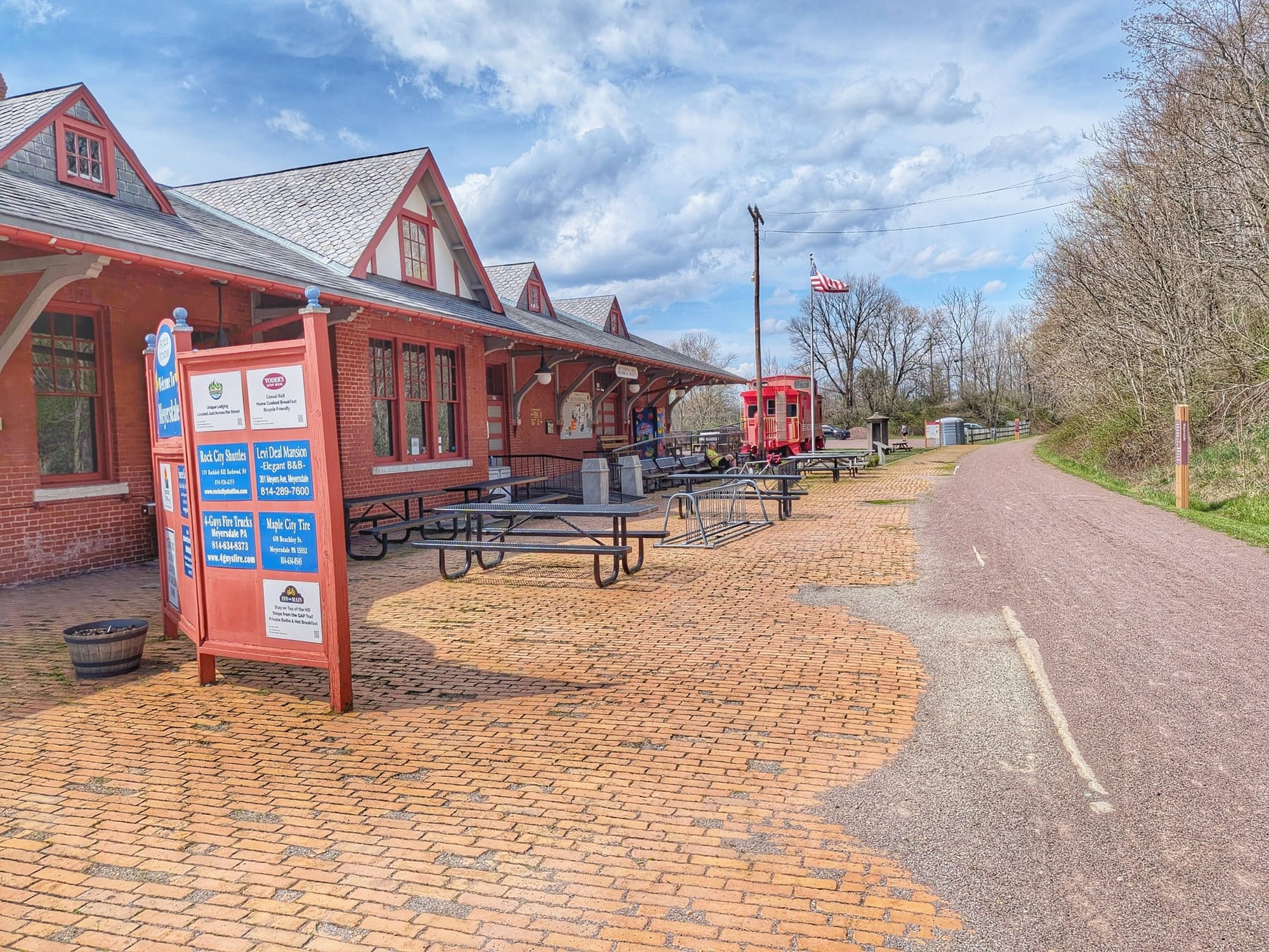
- The old depot in Meyersdale has been converted into a historical society with an outdoor water fountain and phone-charging access.
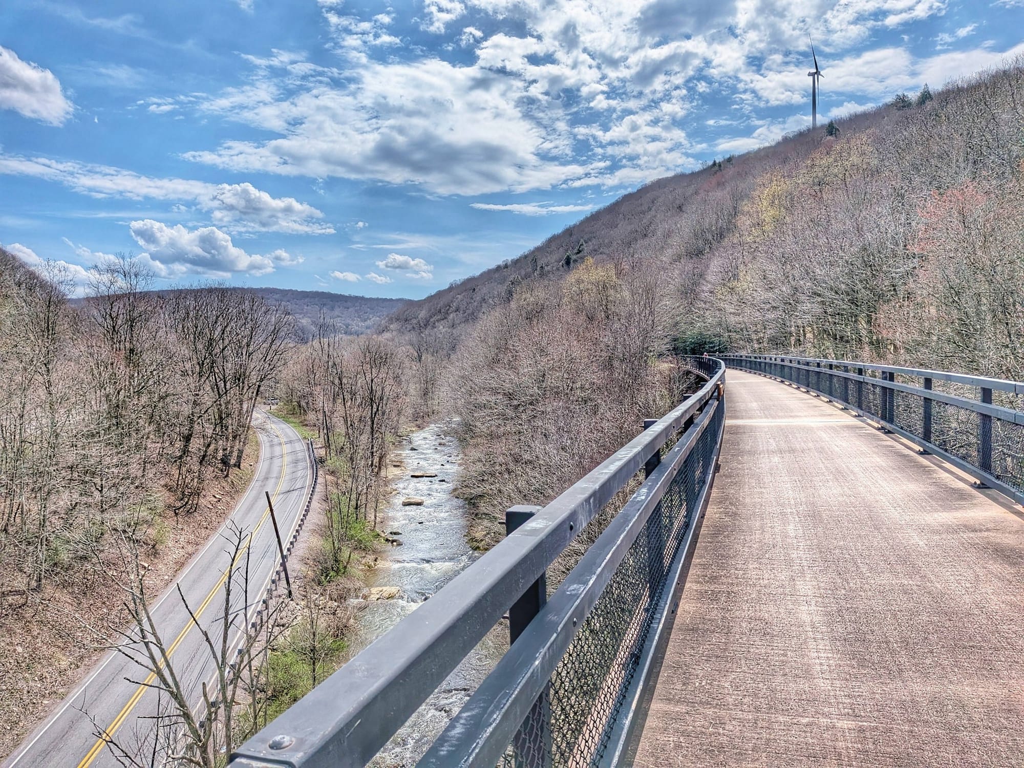
- The long bridge over the Casselman River past Garrett and Rockwood is one of the route's scenic highlights.
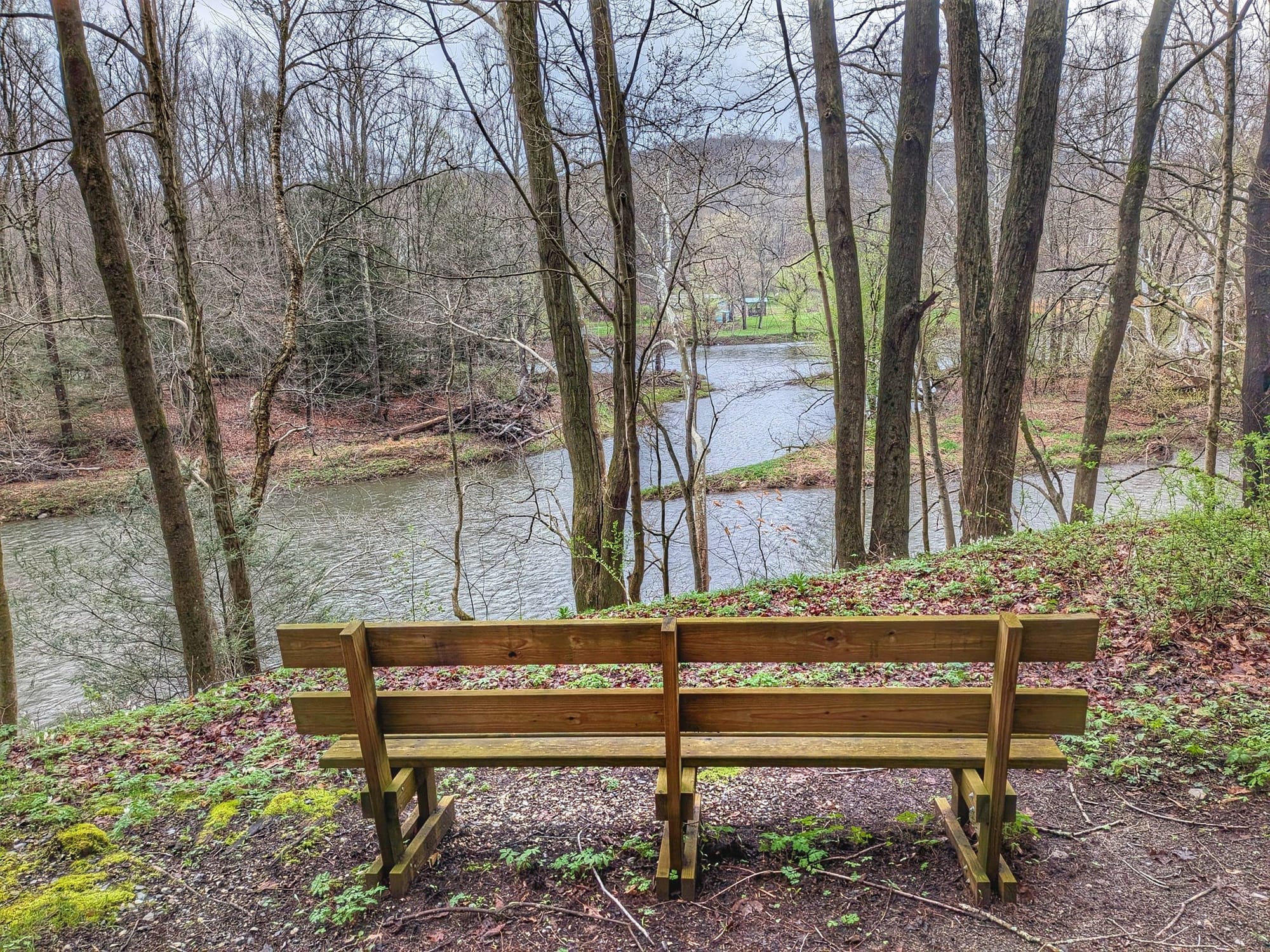
Benches and shaded picnic tables appear regularly through this stretch — many memorialized to community members, paid for locally. These are the kinds of rest stops that don't show up in a typical GPS dataset but matter enormously when you're on foot.
Easter Sunday in Confluence
April 5th, Bernie walked into Confluence, Pennsylvania, on Easter morning. The Dollar General was the only thing open — and per usual on this hike, the employees let him fill water bottles and charge his phone without a second thought.
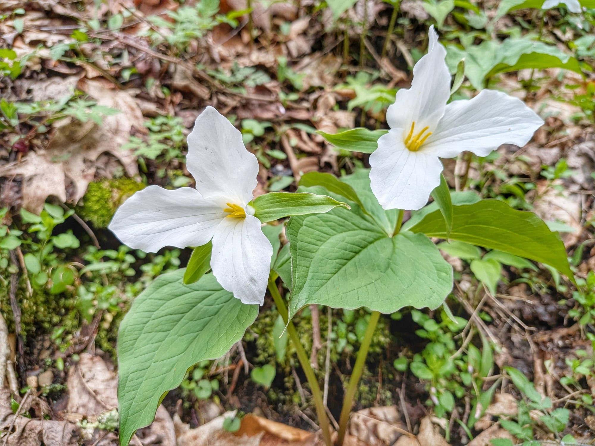
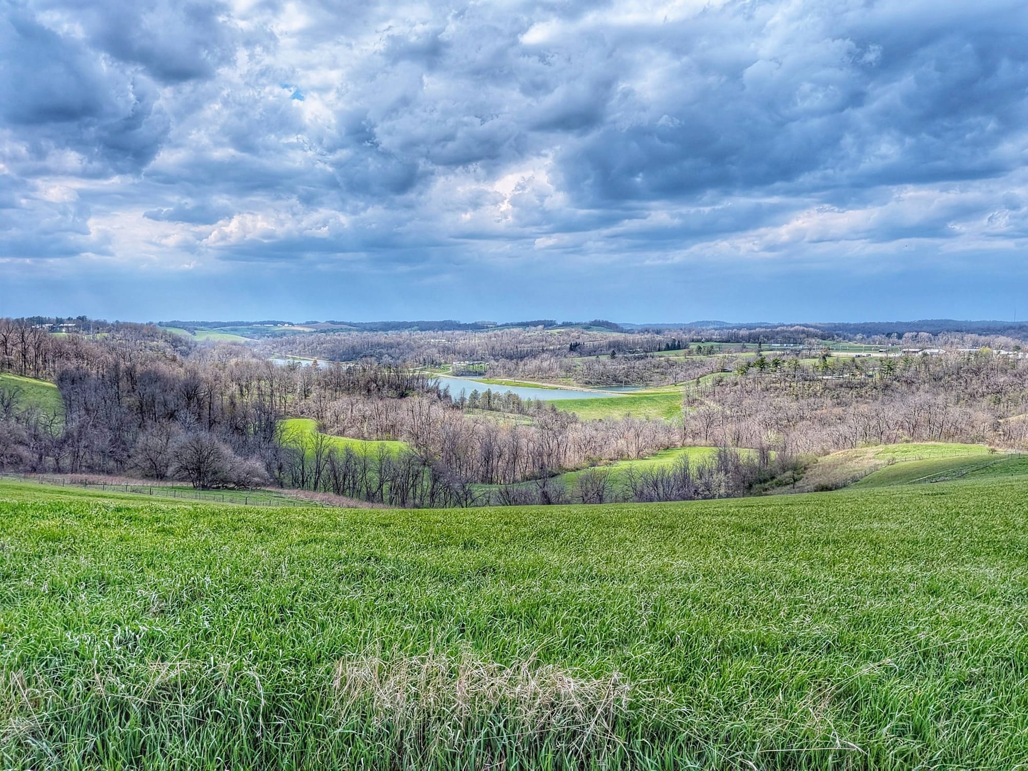
Trillium was blooming by the thousands on the slopes above the trail. Another 31-mile day, pulling into the small tourist town of Ohiopyle.
Into Coal Country
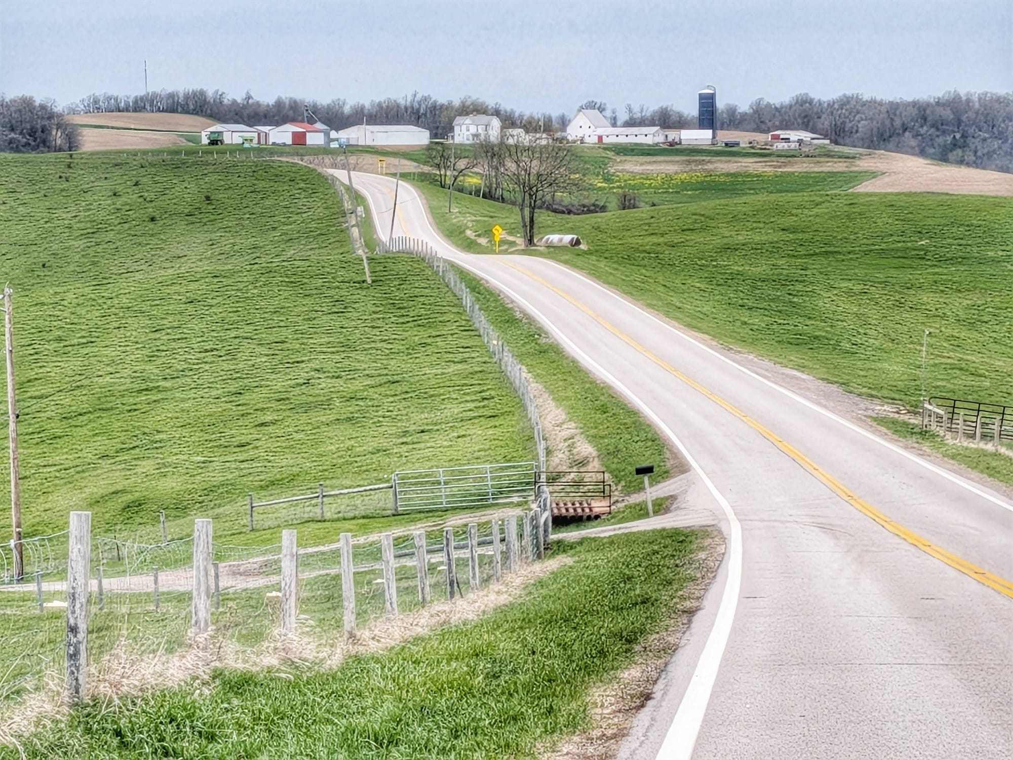
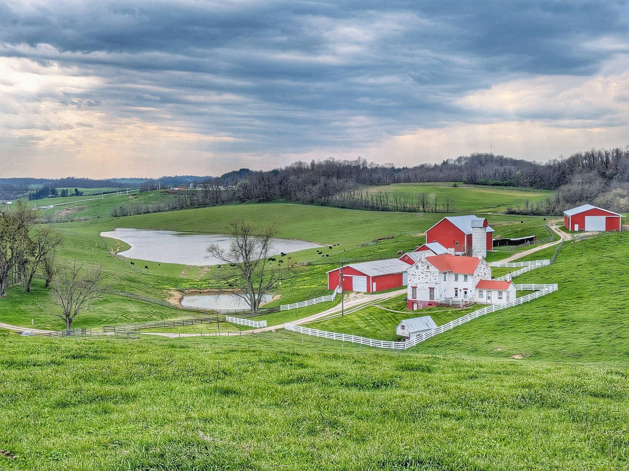
By April 6th, Bernie was in Connellsville — industrial, historical, and warming up. The river changes names here (now the Youghiogheny, the "Yough"), and the valley opens enough that some trees were already leafing out for the second time this spring.
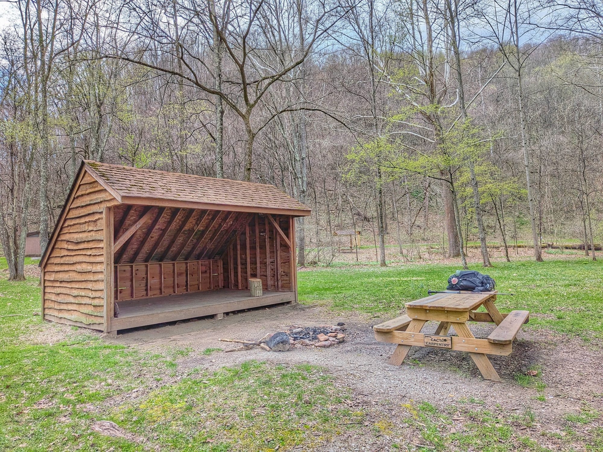
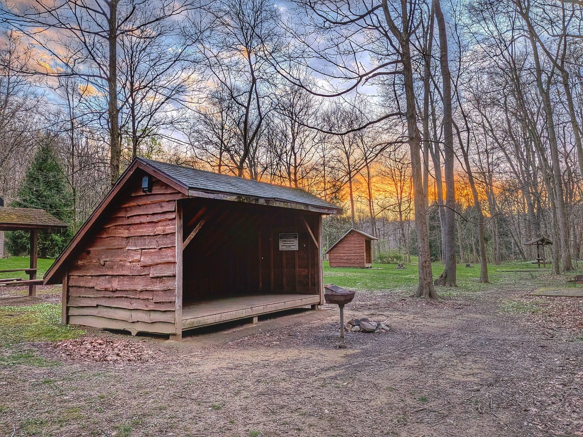
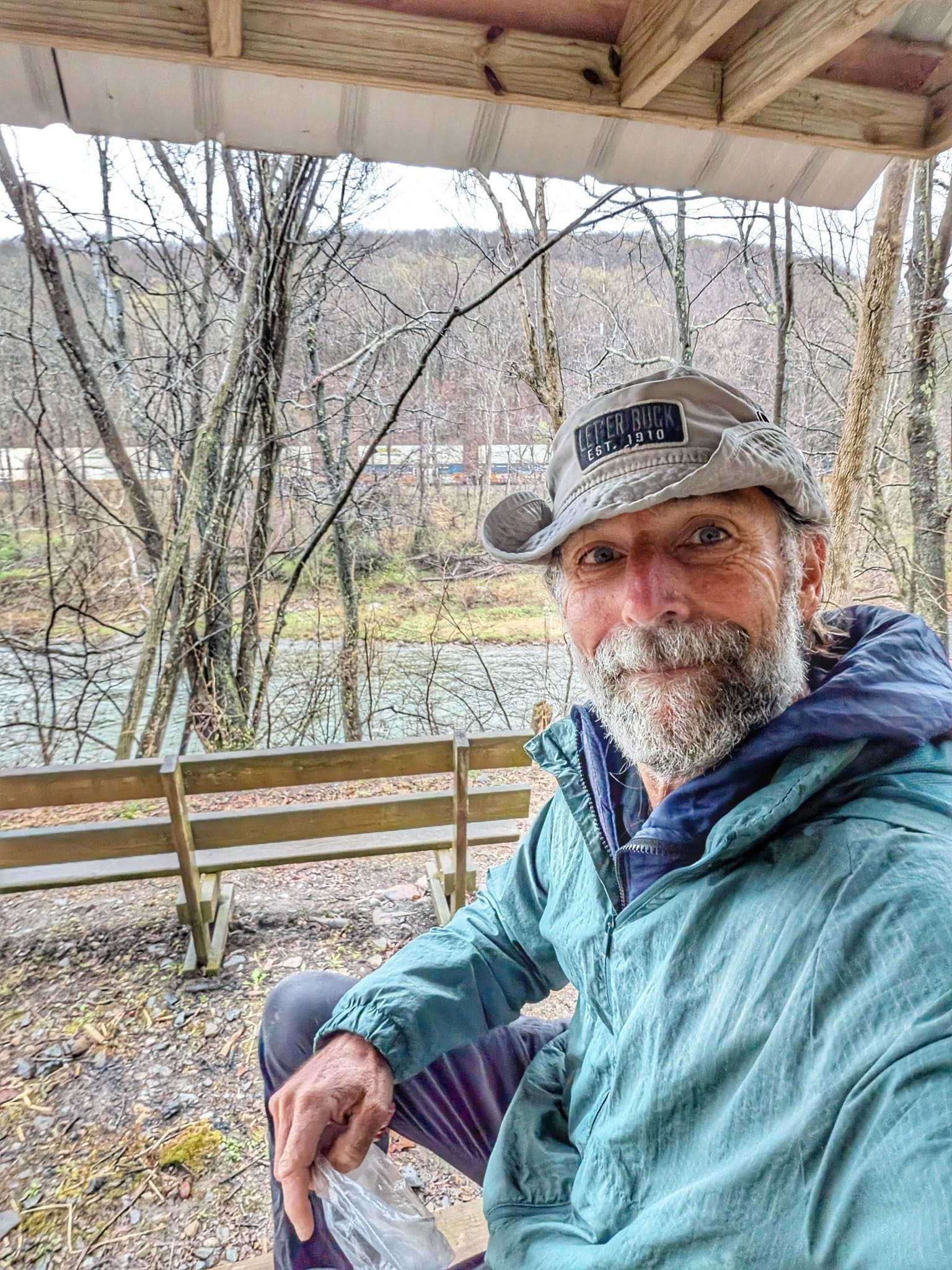
This is coal country. Coal refuse piles from old mines sit along the old track line. Bernie noted the Roundbottom Trekker Campground (three Adirondack shelters, fire rings, empty when he passed) before pushing another 10.5 miles to Cedar Creek Trekker Campground to close out another 31-mile day.
Waypoint note for future hikers: Both trekker campgrounds along this stretch are legitimate free shelter options.
The Pittsburgh Approach
April 7th, Bernie started at 6:30 a.m. in sub-freezing temperatures to make a 29-mile day into Homestead, Pennsylvania, where he'd booked a Holiday Inn Express. The high only hit about 40°F, but the cold brought out clear blue skies and the first real green on the unfurling trees.
Small towns along this stretch: West Newton, Buena Vista, and Boston. At Dead Man's Hollow Conservation Area, the gravel turns to pavement, and there's a short road walk before crossing into McKeesport over the Monongahela River.
By 5:15 p.m., Bernie had 324 miles behind him.
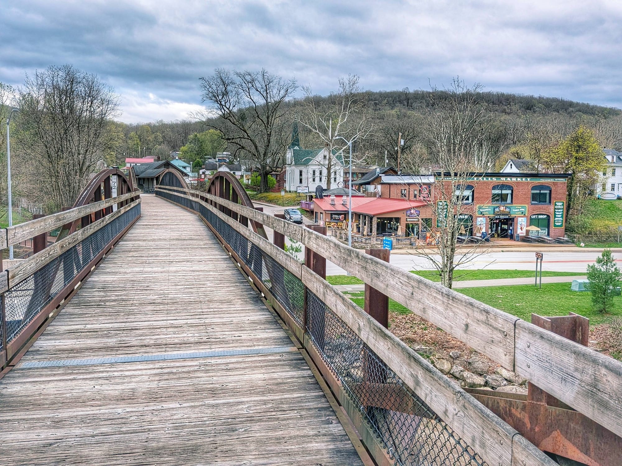
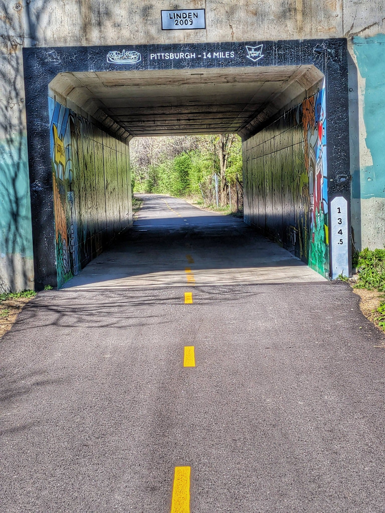
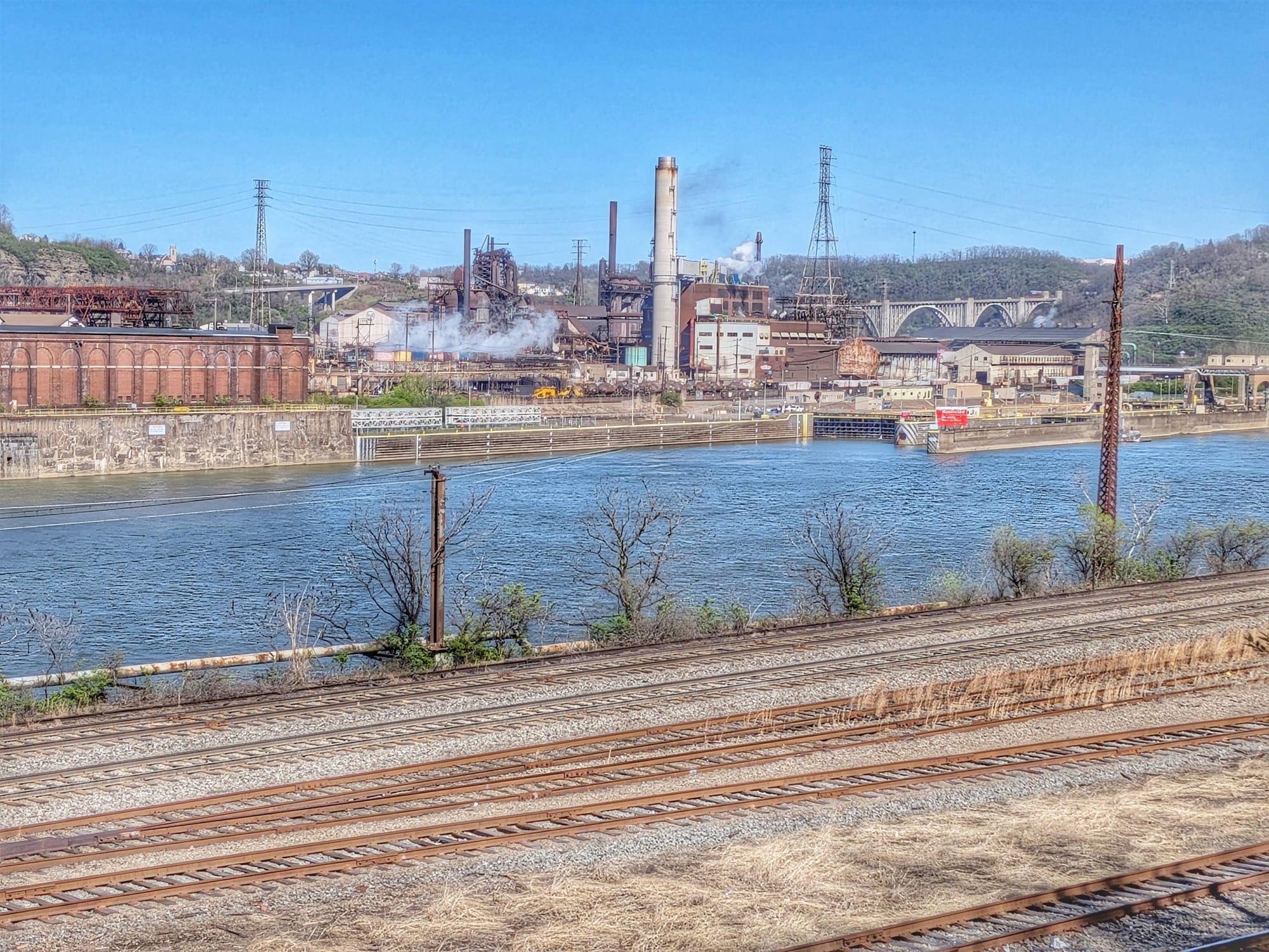
Through the Steel City
April 8th — shoe upgrade at a Pittsburgh shoe store, then into the city proper. The paved rail-trail passes the Pittsburgh Steelers Training Center, links onto the Riverfront Trail (the best city views), then dumps out onto a sidewalk along a fast, busy road for several miles before an Aldi resupply.
Pittsburgh's waypoints are deliberately lean — this is a signal-over-noise city for thru-hikers. What a hiker needs here isn't a catalog of every coffee shop and restaurant; it's the resupply points, the phone-charging spots, and the trail-corridor connections that keep you moving through. Bernie's field verification is helping refine exactly what stays and what's added.

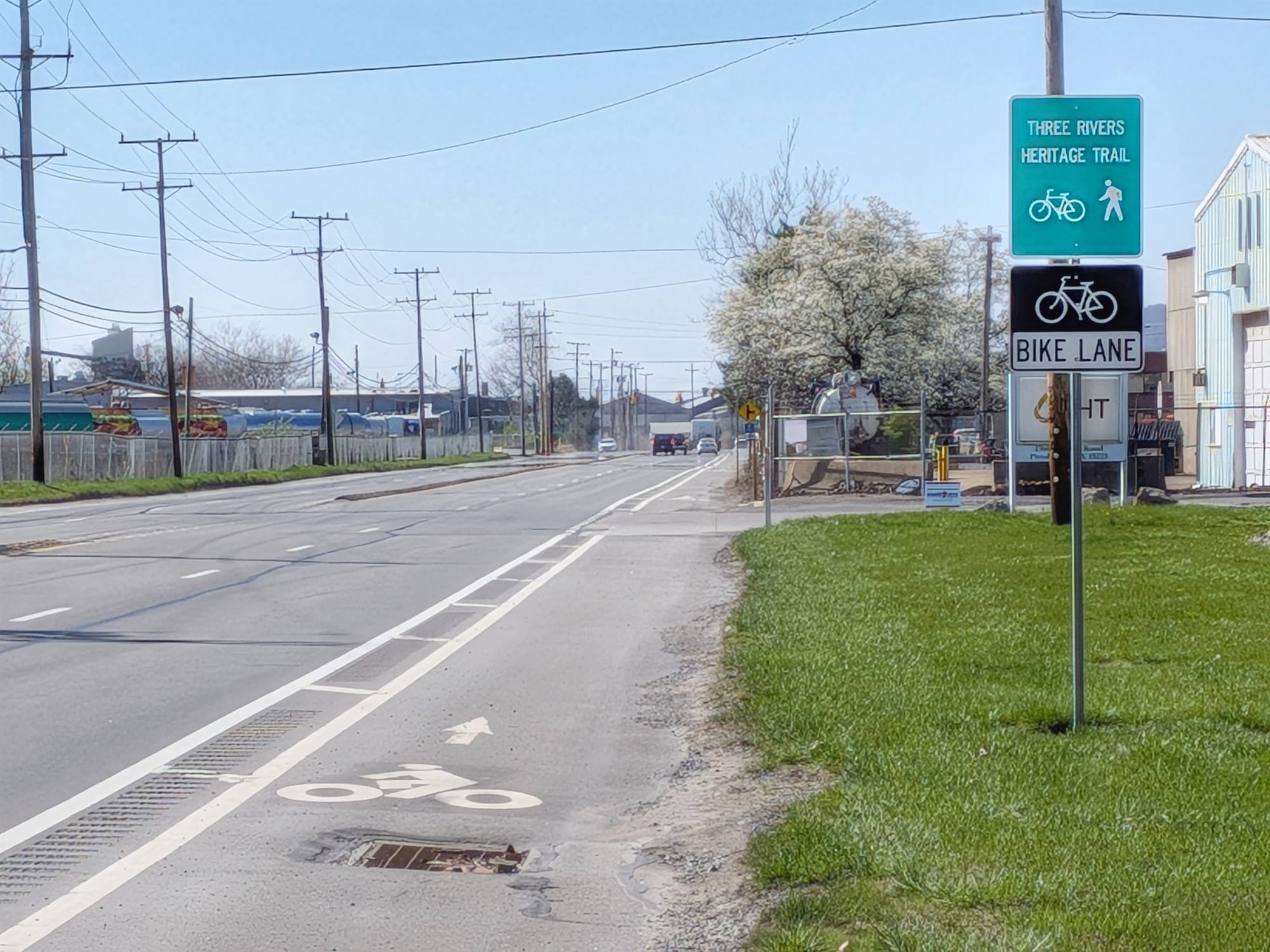
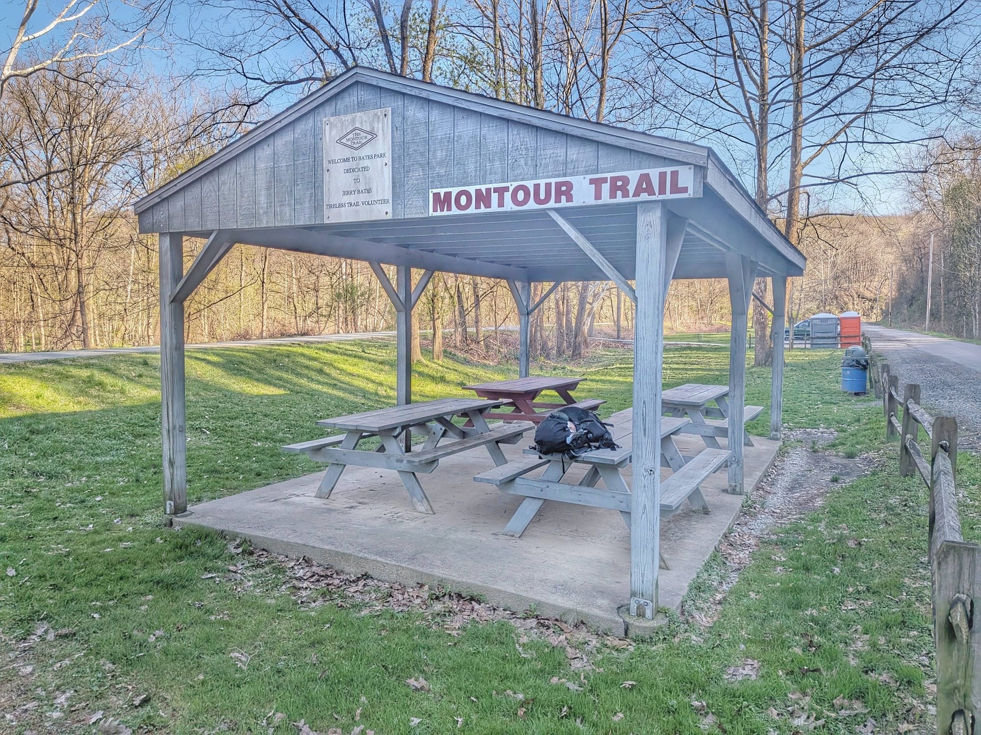
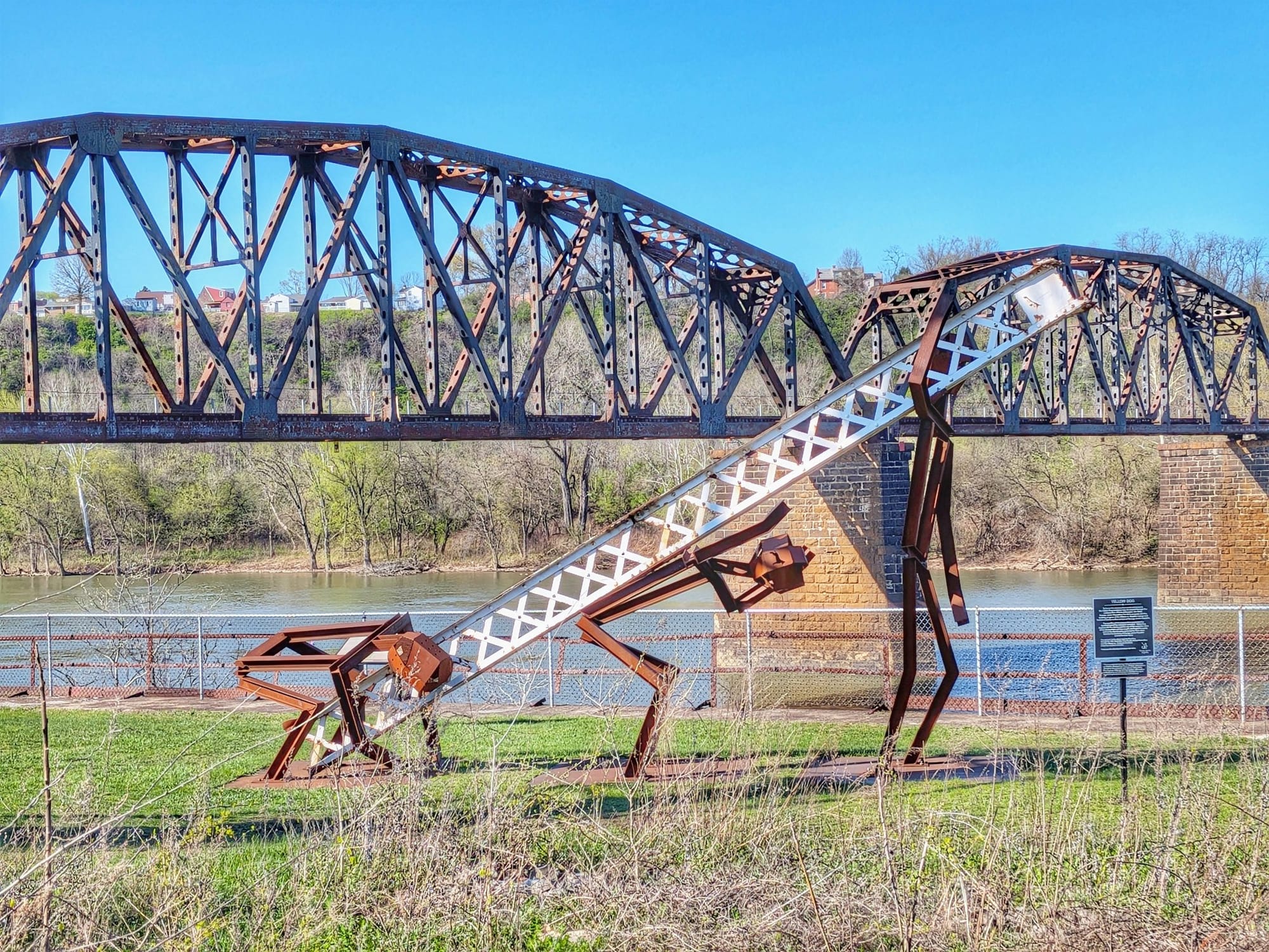
From there: across to Neville Island on the Three Rivers Heritage Trail (mostly industrial), another bridge, and onto the Montour Trail — which brought hundreds of people out walking, biking, and fishing for trout. Back in nature.
Toward the Border
April 9th closed out the week. Bernie hit Dunkin' Donuts in the morning for water and a charge (roughly 90% of the water fountains along the route from DC are still turned off — worth noting for anyone planning a similar early-season start).
Highlights from this final stretch:
- Imperial — where the trail crosses the old Lincoln Highway, the first transcontinental auto route in the U.S.
- A hiker/biker campsite at mile 11.5 on the Montour Trail.
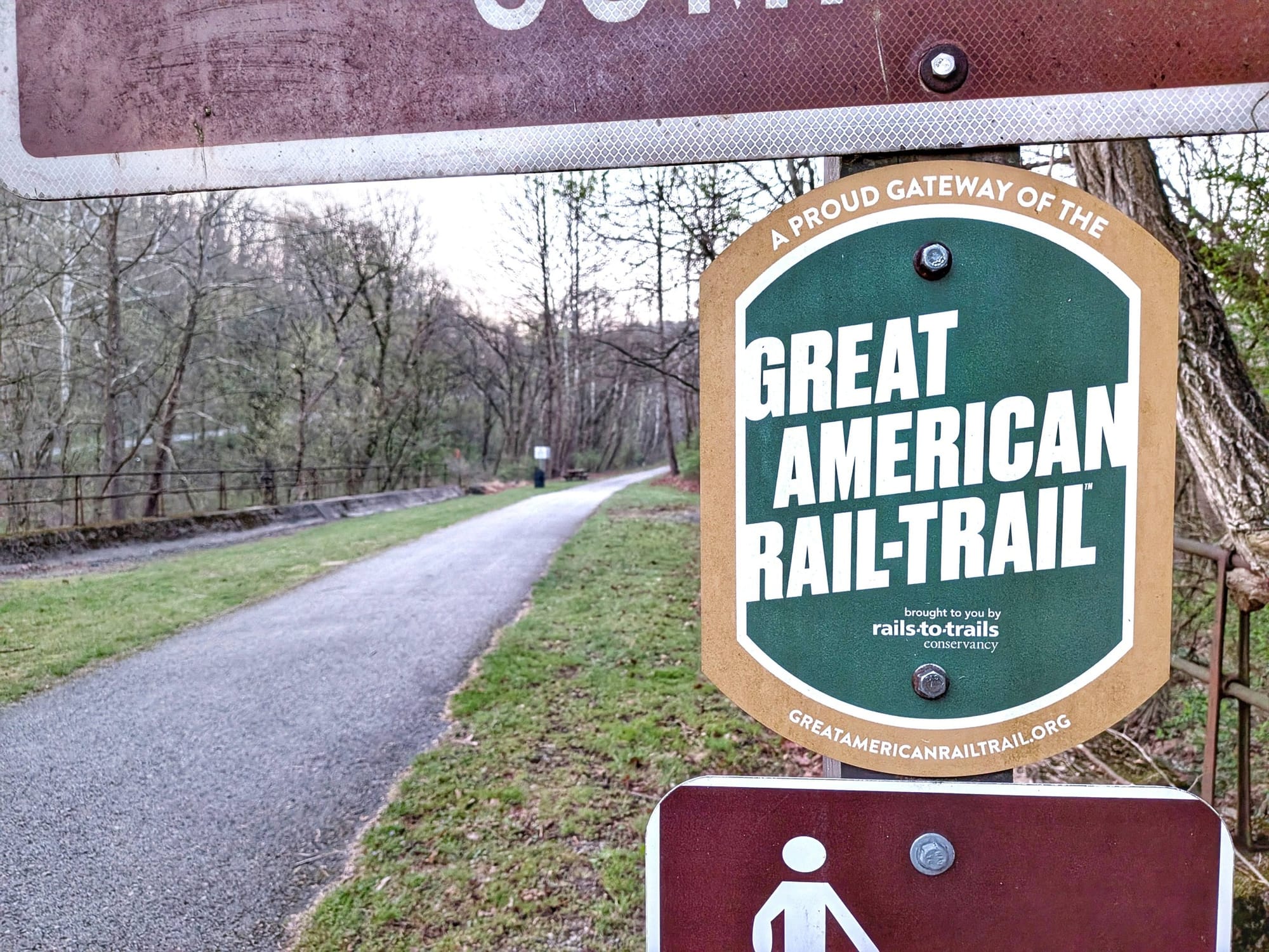
- The Panhandle Trail at Gladden Heights, where Bernie spotted his first Great American Rail-Trail sticker near the town of Midway.
- Gas station stops in Midway and Burgettstown for coffee, water, and charging.
Another 30-mile day.
Three States in Seven Hours
April 10th was the week's most complicated day of navigation — and a good example of why field verification matters.
The Market Street Bridge into Steubenville is being rebuilt, which means Hiking America's Great American Rail-Trail route across the Ohio River is closed. Bernie detoured south (above in PURPLE) from Collier's, took rural roads undulating high above the river down into Wellsburg, West Virginia, then picked up the Brooke Pioneer Trail to the Wellsburg Bridge — crossing into Brilliant, Ohio.
Pennsylvania to West Virginia to Ohio. First time in his hiking life he's walked through three states in seven hours.
From Brilliant, he climbed a gravel road onto a paved ridgeline that reminded him of the Buckeye and North Country Trails he completed a few years back. One driver stopped to offer a ride. He kept walking — through Smithfield, bound for Hopedale, where we'd arranged for him to stay at the American Legion Post. Bernie slept under a pavilion to stay out of the rain. A guy at the bar bought him a beer.
33 miles. One closed bridge. Three states. That's the kind of day where a static map fails and real-time field intelligence takes over.
What This Week Tells Us About the Data
Bernie's verification work this week covered three distinct landscapes — the Great Allegheny Passage's mountain tunnels and small-town depots, Pittsburgh's industrial river corridor, and the transition onto the Montour and Panhandle trails heading west. Each one has different needs for a hiker-oriented dataset, and Bernie's field notes are shaping what goes in and what stays out.
A few patterns from Week 2 that'll feed back into our waypoint philosophy:
- Historical societies and depots are often better charging stops than gas stations — they're quieter, and the outdoor fountains work.
- Trekker campgrounds along the GAP are underused but excellent. Worth explicit waypoints.
- Water fountains in early season are mostly off. This is route intelligence hikers planning a March or early-April start need upfront.
- Pittsburgh's corridor waypoints should prioritize walkable resupply and transition points, not city-wide service catalogs.
Bernie's headed into Ohio next. More trail intelligence as he keeps moving west. 🥾
To date - 5,420 waypoints added across 12 states. And it's only Week 2!