
Spring on the ADT — Who's Out There Right Now
Spring 2026 is shaping up to be one of the more active seasons we've seen on the American Discovery Trail. From Rhiis and Sara crossing into St. Louis, to Leif Olson's hard miles through Utah, to Scott Arnett's first day out of Lee's Summit — here's what hikers are sending back from the trail.

Spring is when the American Discovery Trail comes back to life. Section hikers return to the routes they've been working on for years. New thru-hikers take their first steps out of trailheads they've been planning around for months. And the trail intelligence starts flowing in fast.
Here's what's happening on the ADT right now — and what these hikers are sending back to make the trail better for everyone behind them.

Rhiis and Sara Cross Into St. Louis
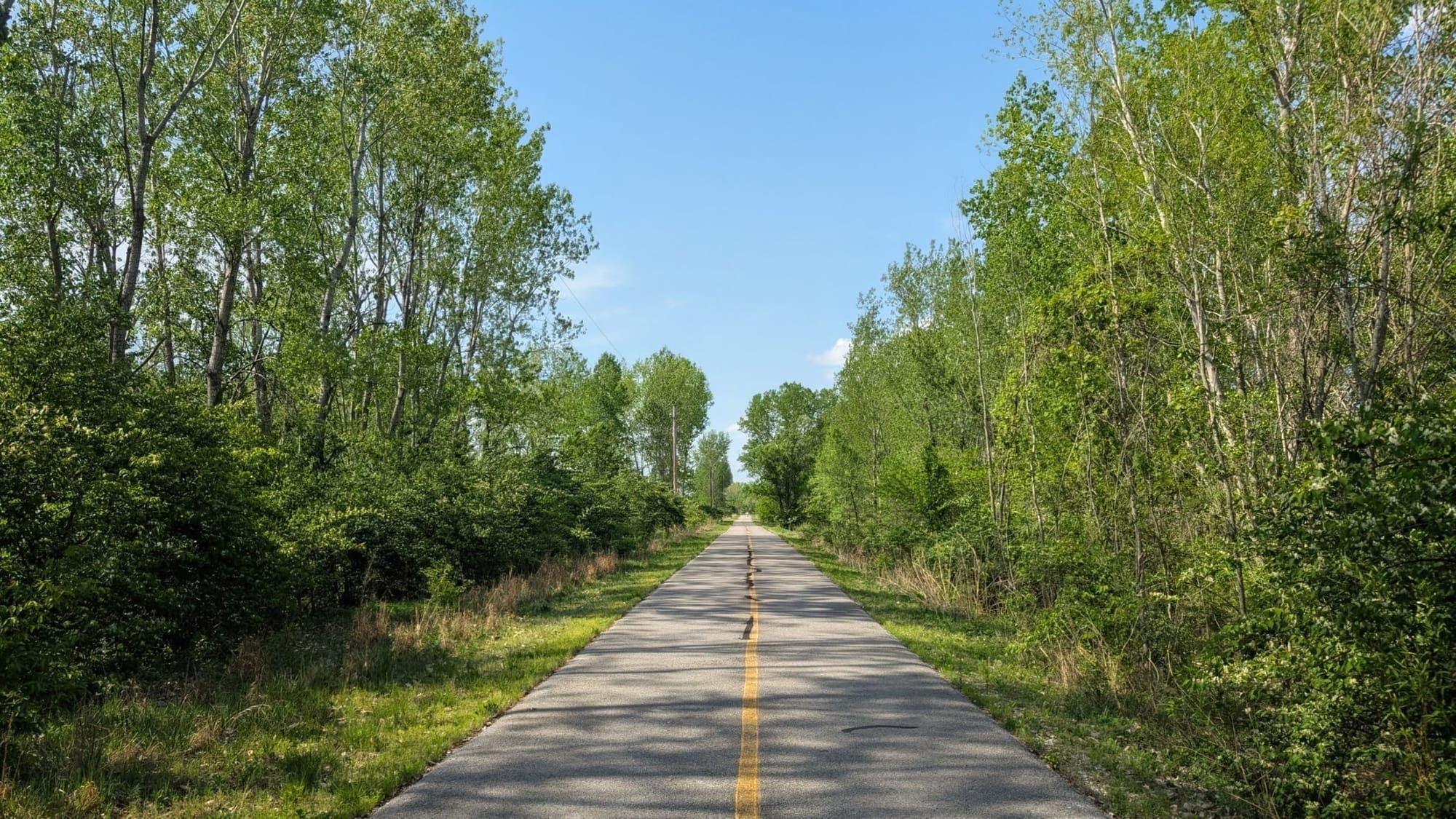
Rhiis and Sara have been moving steadily through Southern Illinois, wrapping up the River to River Trail and finishing the final segment that leads them to the Mississippi. This week, they crossed into St. Louis — and sent back a meaningful round of updates from one of the more logistically complex urban sections of the ADT.
In Forest Park, they confirmed a routing correction: a former pedestrian bridge has been removed, and the trail now reroutes around it. We've already updated our GPS data and turn-by-turn guides to reflect the change. They also added dozens of waypoints for benches, water fountains, and restrooms throughout the city — the kind of small, practical detail that makes a long urban day a lot more manageable.
Rhiis & Sara
Westbound - Eastern, Northern Complete
Began: February 21, 2025 - Cape Henlopen, DE
Paused: November 5, 2025 - Julesburg, CO
Restarted: March 10, 2026 - Illinois/Indiana Line - Southern Route
Support Links: ImHikingAmerica, TrailJournals, YouTube, Venmo
Their take on St. Louis was warmer (and we're not talking temperature) than they expected:
"St Louis is pretty awesome! After being in downtown and finishing Forest Park, you walk through rich neighborhoods and the houses are like castles. We've seen a different side of the city this time and it improved our impression of the city for sure."
Before they left Illinois, they also shared notes on a multi-generational trail angel family near the levee who offered beer, water, homemade sausage, and permission to camp — and tips on the most efficient way to use the elevators that get you up to the pedestrian bridge into St. Louis. Small things on paper, big things on a long day with a heavy pack.
On to the Katy Trail!
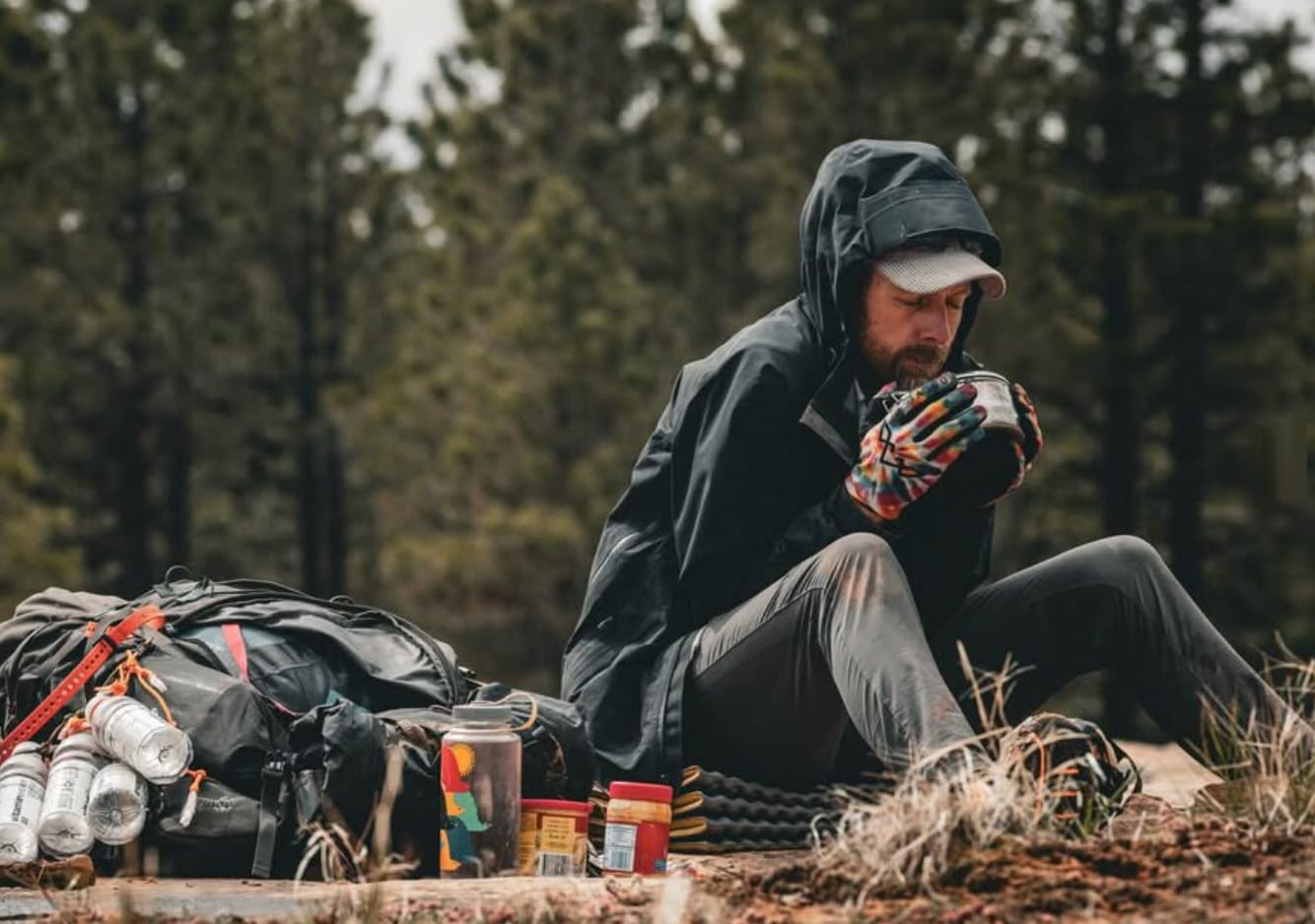
Leif Olson's Hard Miles Through Southern Utah
Leif Olson rolled into Antimony, Utah, this week after one of the more demanding stretches we've heard about this season. He calls Antimony "a wonderful little one-horse with wifi and amazingly nice people" — and after what he just walked through, it's easy to understand why he's appreciating the comforts of $10 camping with a shower, electric, and good food.

Leif Olson
Started: March 26, 2024 - Looking to complete Full ADT
Has completed the Northern, Southern, and Eastern sections.
Support Links: Instagram, BuyMeACoffee
Here's the short version of how he got there. Climbing into the Henry Mountains, Leif's water filter ruptured. Out-of-season campground spigots were turned off. He boiled six liters with his light fuel carry, walked sixty miles cold to a piped spring that held up, then pushed another fifty-two miles in twenty-seven hours — repeated climbs to nearly ten thousand feet, easily lost single track, freezing nights, high winds, and frequent blowdowns.
The day before that fifty-two-mile push, he came through Oak Creek Canyon in the dark:
"Imagine it's pitch black, you're walking in between high vertical rock walls that quickly shrink in width to not much more than your height. There's a cold creek running through and every few hundred feet or yards, or you really don't know, but it's often; you come upon boulders twice your height wedged in your path. Can't go around, can't go under, must go over, but deep pools form just in front, could be waist deep, could sink you."
Leif is sending back the ground truth that the next hiker needs — where the reliable piped spring is, what Oak Creek Canyon actually looks like in low light, and which campground spigots aren't on yet. We're working all of it into the data now.
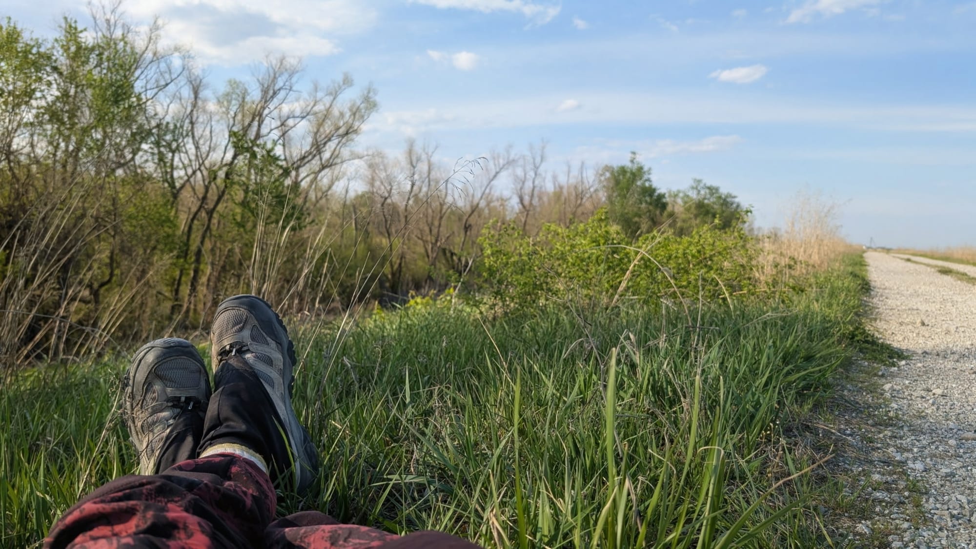
Renae Gupta's Steady Stream from Southern Ohio
Renae Gupta has been walking through the section of the ADT that shares its route with the North Country Scenic Trail in southern Ohio, and she's been sending back updates almost daily.
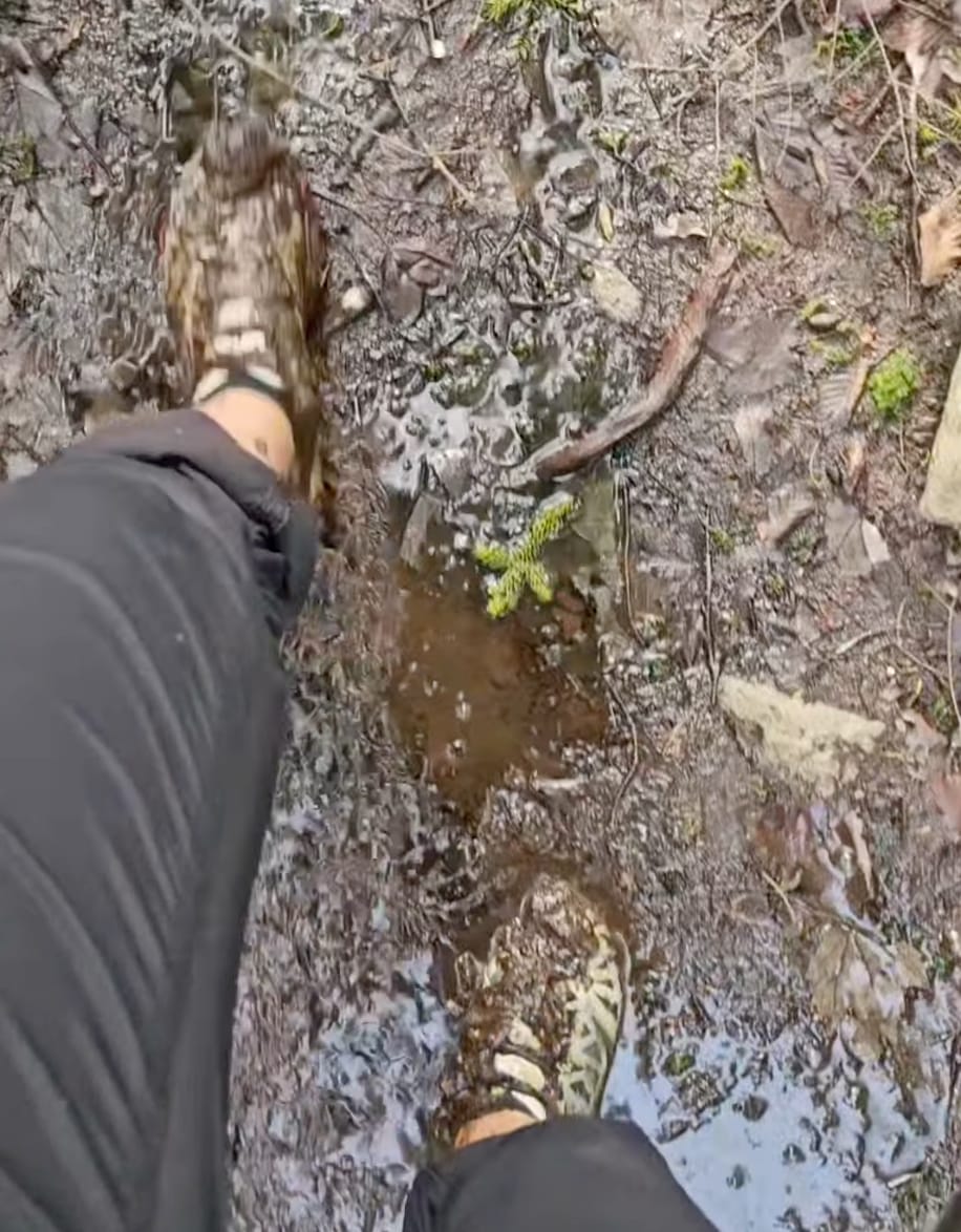
On the Buckeye Trail, she flagged a creek ford where the surrounding land is deep, soft mud — she got stuck for about fifteen minutes working through it. We've marked the area in both Gaia GPS and the turn-by-turn guides so hikers behind her know what they're walking into.
While in Hocking State Forest, she identified three new stream sources for the water data, and she updated the ownership on a campground near Logan, Ohio.
Renae Gupta
Westbound
Began February 26, 2026 - Cape Henlopen, DE
Support Links: ImHikingAmerica, Instagram, Facebook, GoFundMe
She also reconnected with a previous trail angel — and helped us remove one whose property has changed hands and is no longer hiker-friendly. A bad reference on a hiker's map can mean a long, tired walk to a closed door, so updates like these matter as much as any new water source.
Scott Arnett Takes His First Steps
Scott Arnett began his ADT trek on Sunday, starting from Lee's Summit, Missouri.
Here's how his first day went, in his own words:
"While it was drizzling all morning it wasn't bad until it was. Came on slow and steady. The rain — every moment a little bit more not exponential but always a little bit more."
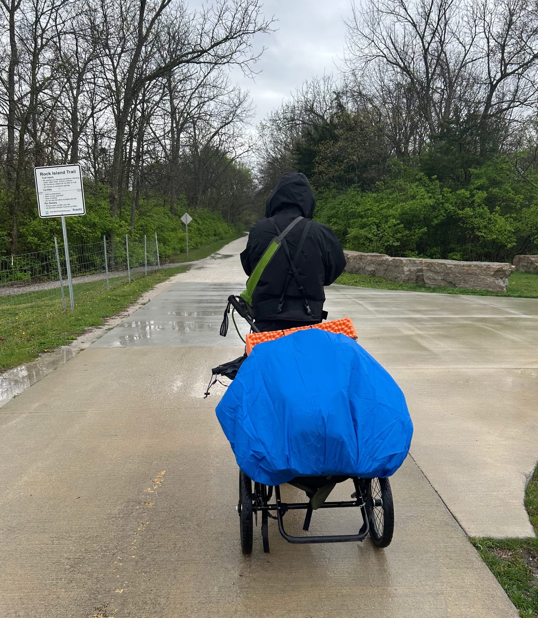
By afternoon, walking and decision-making had both become harder than the rain was worth. Scott was in an industrial area with no overhang or awning in sight, and the rain had reduced his phone keyboard to "a jumble of Xs As and the occasional z." He found a place about a mile down the road past the high school.
The front desk clerk had spotted him and his hiking trailer earlier on her way to work and gave him a discount.
Not a bad first day. Things went sideways, but Scott made good decisions one at a time as the day got harder — and someone unexpected was kind to him at the end of it. That counts for a lot on day one.
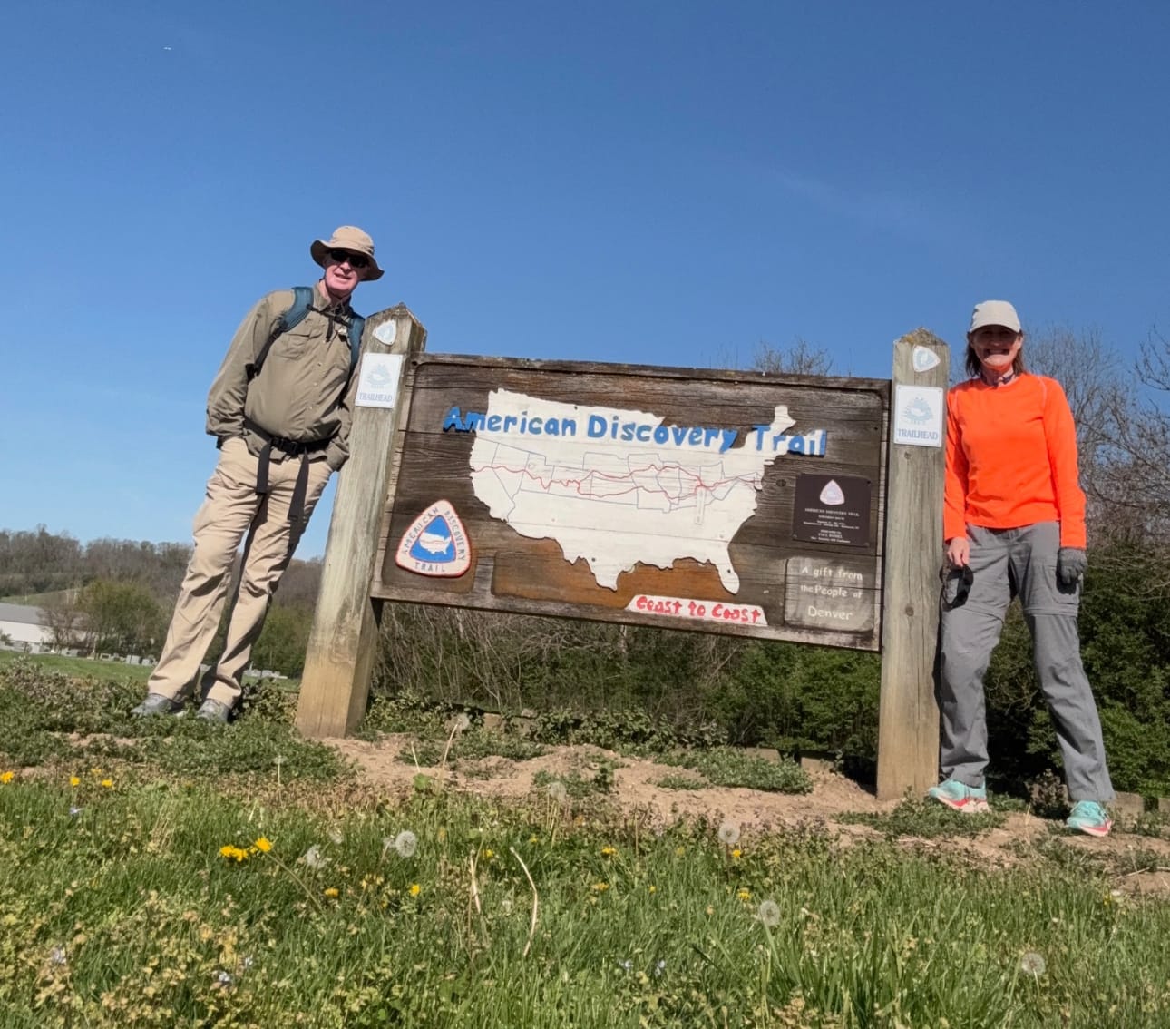
Brad and Kay McKim Wrap a Spring Section
Brad and Kay McKim finished their spring section hike this week, walking from Madison, Indiana, to Cincinnati, Ohio — and timed their finish to catch a Cincinnati Reds game. They're working toward completing the full Southern Route as a section hike, with a target completion year of 2031.
Brad and Kay McKim
Eastbound - Southern Route
Latest Spring Section Hike - April 2026 - Madison, IN to Cincinnati, OH
Support Link: Facebook
Brad and Kay document their hikes on their Facebook page — a real travelog in photos and text that captures the small moments of section life along the ADT. If you're considering section hiking the trail yourself, it's worth a follow.
Section hiking the ADT is its own kind of commitment. It takes patience, planning, and a long view — and the McKims have all three.
And Two More on the Way
We know of at least two more hikers planning to start in the coming weeks — one a returning ADT hiker runner coming back for more, and one stepping onto the trail for the first time.
What This Means If You're Planning Your Own Hike
Every name in this post is a person whose updates are now part of the data the next hiker will use. The trail isn't static, and neither is the information about it. Filters rupture. Bridges come down. Trail angels move. Spigots get turned on for the season — or stay off longer than expected. Mud swallows a foot for fifteen minutes.
The hikers out there right now are why our data is better today than they were last week. The hikers starting in the coming weeks will add their own ground truth to what comes next.
If you're planning your own ADT walk, you're walking into a network of people who've already done the work of finding out what's true on the ground.
That's what living data actually looks like.
Walk Into Spring With Better Maps
A Hiking America subscription gets you our complete, continuously updated GPS data and turn-by-turn guides for the American Discovery Trail — and also includes free access to the Great American Rail-Trail data we're building out — GPS tracks for the full route from D.C. to Washington State, plus the waypoints and trail intelligence we're verifying as Bernie Krausse thru-hikes it westbound this year.
Hike Your Hike - John.
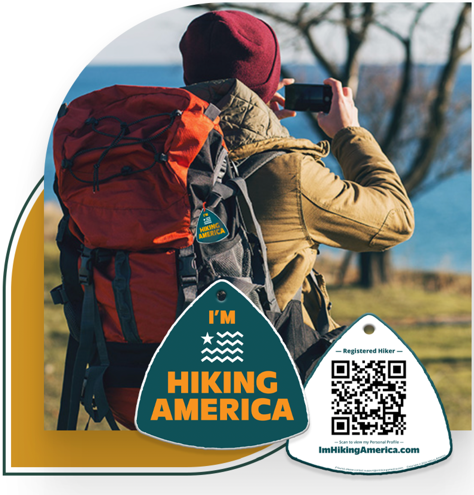
I'm Hiking America Credential Badge
Recognized by trail angels, hostels, and fellow hikers nationwide!
Get your Custom Hiking America Hiker Tag!
Only $19 for a Limited Time!
Always Free to Hiking America Members.