
GPX Distance Finder

GPX Distance Finder
Open a GPX track · Paste coordinates · Get miles from start
.gpx files only · stays on your device, never leaves your browser
Paste or type as: lat, lon · e.g. 39.123456, -84.512345
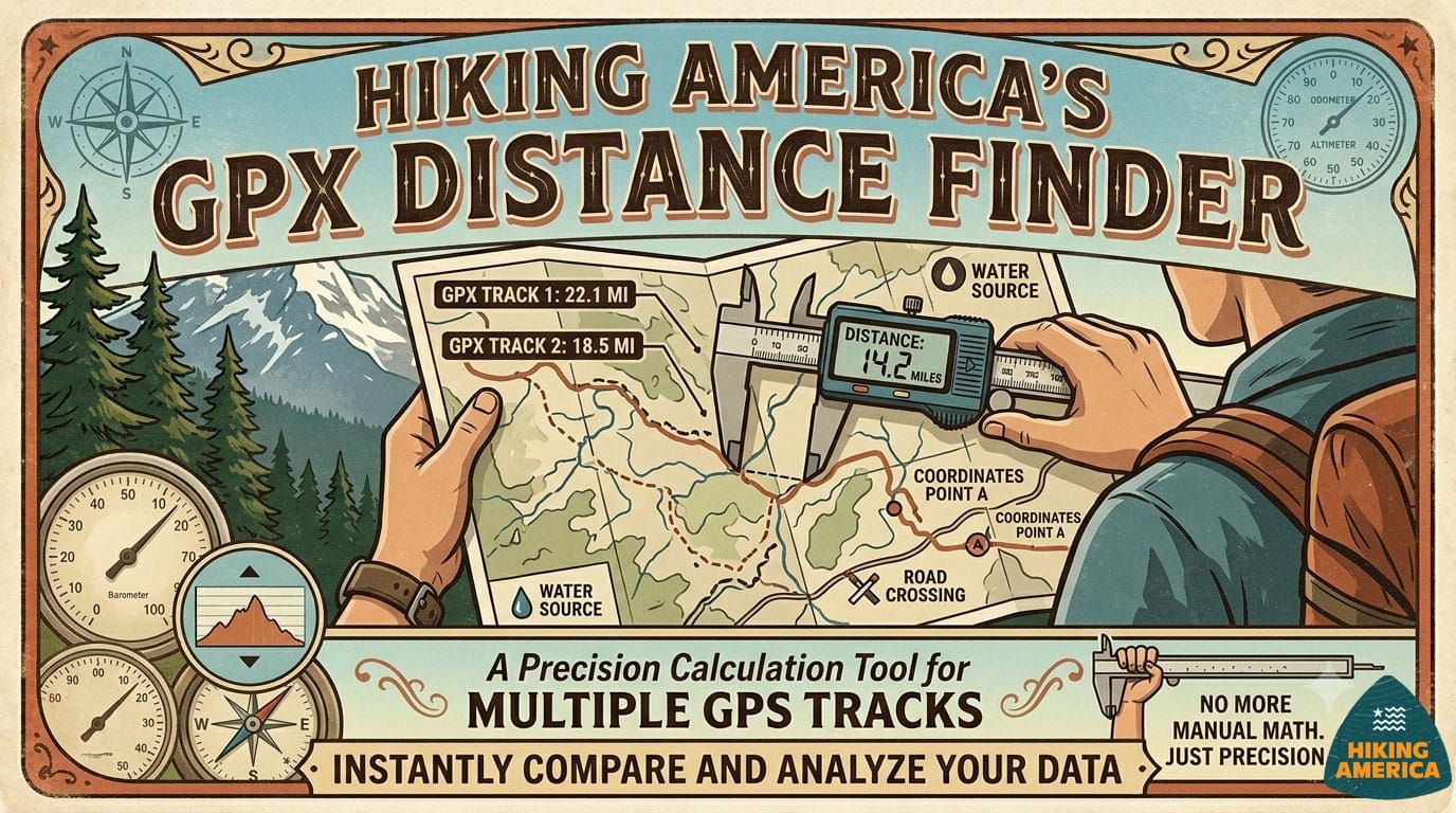
What This Tool Does
You have a GPX track. You have a set of coordinates — a campsite, a road crossing, a water source, a trailhead. You need to know exactly how far along the track that point falls.
That's it. Open your GPX file, paste in the coordinates, get the mileage.
The tool finds the nearest point on your track to whatever coordinates you enter, then measures the cumulative distance from the track's start to that point. Results appear instantly. You can run as many queries as you need in a single session, then export everything as a CSV spreadsheet.
How to Use It
- Click Open and select your GPX track file — or drag it into the drop zone
- The tool loads your track and shows the total length and number of track points
- Paste or type coordinates in decimal format:
lat, lon— for example39.123456, -84.512345 - Hit Find or press Enter
- Your mileage from track start appears immediately, along with how far off the track your coordinates fall
- Repeat for as many coordinates as you need
- Click Export history as CSV to save your results
A Few Things Worth Knowing
Your file stays on your device. The GPX file never leaves your browser. Nothing is sent to any server. You're not uploading anything — the tool reads the file locally and does all the math in your browser window.
Accuracy depends on track density. The tool works by snapping your coordinates to the nearest recorded point on the track, then measuring the cumulative distance to that point. A track recorded every 50 feet will give you a much more precise result than a track with points every half mile. If you're getting unexpected results, check how many track points your file contains — the tool shows you this when the file loads.
Decimal coordinates only. The tool expects latitude and longitude in decimal degree format. If your coordinates are in degrees/minutes/seconds, convert them first. Most GPS apps and mapping tools give you decimal format by default.
The Off Track reading is your sanity check. Alongside the mileage, the tool shows how far your entered coordinates sit from the nearest track point. A reading of a few hundred feet is normal. Several miles suggests either the wrong coordinates or a track that doesn't cover that area.
Who Built This and Why
Hiking America builds navigation tools for long-distance hikers — primarily for the American Discovery Trail and the Great American Rail-Trail. Placing waypoints accurately along a 6,800-mile trail involves exactly this kind of calculation, done hundreds of times. We built this tool to make that process faster, then made it free because every hiker doing serious route planning runs into the same problem.
If you're planning a long-distance hike and want to know more about our GPS tracks and waypoint data, hikingamerica.com is the place to start.
Stay in the Loop
New tools are in development. If you found this one useful, join the Hiking America newsletter and we'll let you know when the next one launches — along with field updates from hikers currently on the trail.
New tools are in development. Drop your email below and we'll let you know when they launch — along with field updates from hikers currently on the trail.
No spam. Practical trail intelligence, delivered occasionally.