
🛞 Rolling the ADT: Hiking Carts, Trailers and Strollers on the American Discovery Trail
Another gravel mile in Kansas. Your shoulders ache, your hips ache, and that 35-pound pack has gained weight since breakfast.

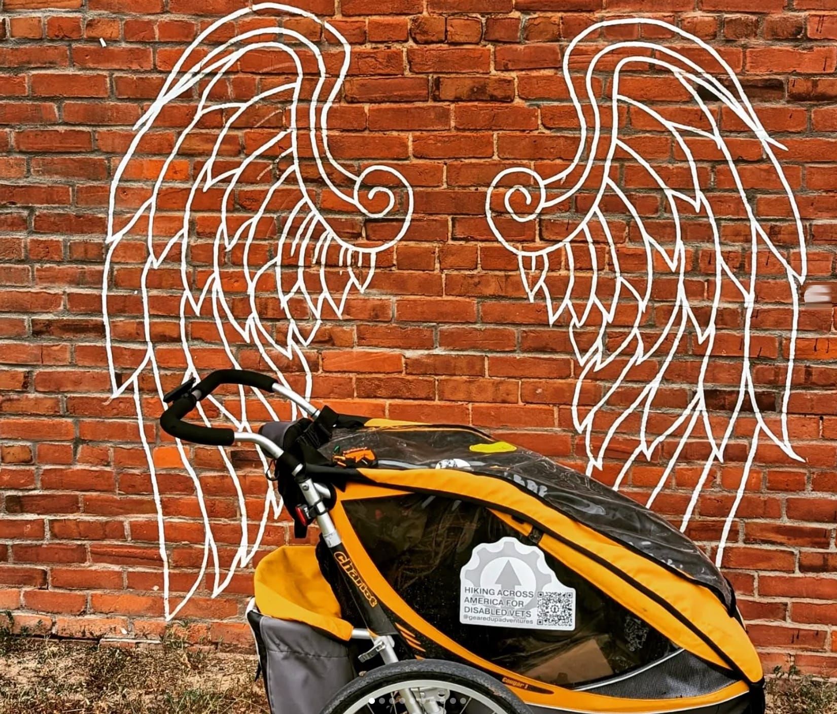
Sound familiar? 🥾
You're not the first American Discovery Trail dreamer to stare down a long road walk and wonder, "What if I rolled this weight instead of carrying it?" Hikers have pulled carts and pushed strollers on the ADT, and on a lot of it, wheels make good sense.
The ADT runs coast to coast from Cape Henlopen, Delaware, to Point Reyes, California, on two routes of roughly 4,900 miles each. Rail-trails, canal towpaths, county roads, and city paths make up a lot of those miles. About 68 miles on the northern route, and about 94 on the southern, cross federal Wilderness, where any cart, trailer, or stroller is against the law. 🧭

🎯 Pull it, push it, or ride one wheel
Hiking trailers (pull-behind)
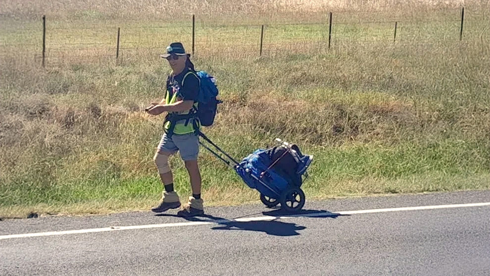
A two-wheeled frame hooks to a hip belt or harness and follows you down the road. The Trekker's Friend, built in Australia, weighs about 4 pounds (1.8 kg), rolls on 12-inch wheels and carries your own backpack. Its warranty covers a pack up to 55 pounds (25 kg) on reasonably smooth surfaces, and it ships to the US for AU$275 plus postage (November 2026).
Converted bike cargo trailers work too. Burley's Nomad weighs 16.7 pounds, holds up to 100 pounds and takes Burley's Walking & Hiking Kit, a hip harness with two tow poles. More trailer to pull, a lot more room for food and water.
One-wheel trailers
Germany's Monowalker puts a single wheel behind you on a long frame. Its designer says about half the load rides on your hip belt and the rest on the wheel, and the aluminum frame is rated to 110 pounds. One wheel is narrower than two, so it fits singletrack and rutted two-track where a wide cart won't.
Strollers (push-ahead)
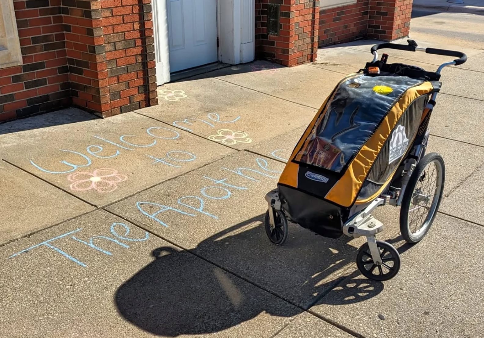
Three-wheeled jogging strollers put the load in front of you, where you can watch it, grab a snack without stopping and set a parking brake on a hill. They steer and brake better on descents than anything you pull, and they're the widest rig on this list.
✅ Where Your Wheels Will Be Your Best Friend
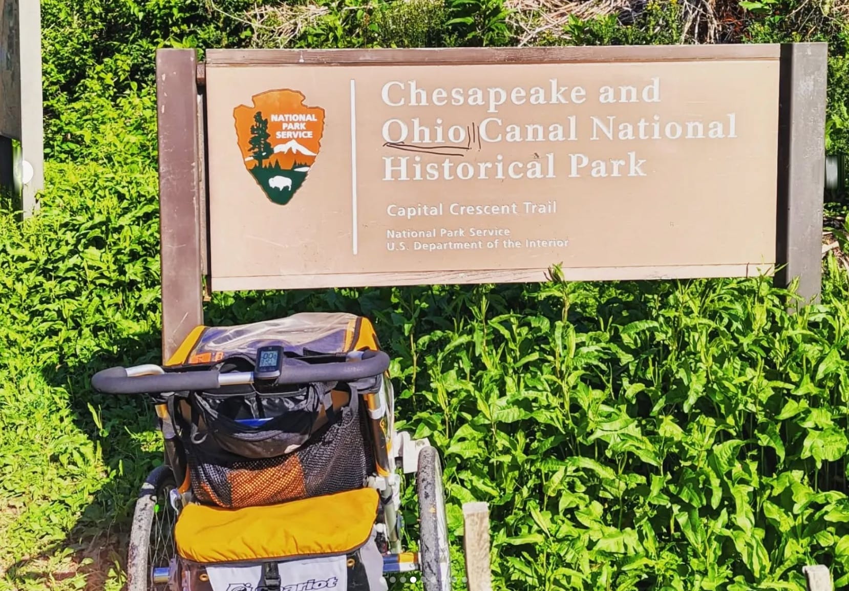
🚲 Rail-trails and canal towpaths
Old railroad beds and towpaths are graded, wide and shared with bikes, so a cart or stroller fits right in:
- Maryland's Chesapeake & Ohio Canal towpath: flat dirt and gravel along the Potomac
- Missouri's Katy Trail: 240 miles of crushed limestone
- Indiana's Cardinal Greenway: smooth, wide and flat. Flooding in August 2026 closed three stretches between Muncie and the Jacksonburg Trailhead, so check Cardinal Greenways' Facebook page for current status before you go.
- Iowa's Raccoon River Valley Trail: paved rail-trail through farm country. Adel's Lighted Bridge reopened in August 2026 after the 2025 fire.
Hiker Notes: Weekend bike traffic gets busy near towns. Keep your rig to the right and give riders room to pass.
🏙️ City passages
The ADT rolls through Cincinnati's riverfront, Denver's bike paths and Washington, D.C.'s trail network, where a cart or stroller blends in with joggers and bike commuters. A stroller wins in town: it's easier to steer around people and quicker to stop.
Hiker Notes: Have you seen the monuments in Washington, D.C. at night? 🥰 A rig leaves room for a real camera or a few comforts that make those city days better.
🛤️ Farm-country road walks
Nebraska, Kansas and eastern Colorado hand you mile after mile of flat county road. Wheels keep those days steady instead of punishing.
- Carts: easier to settle into a steady pull on long, straight roads
- Strollers: more control on road camber, drainage ditches and shoulders that come and go
Hiker Notes: Shoulders out here can be narrow or missing. Walk facing traffic, wear something reflective and put a light on whichever end of your rig faces the cars.
🚫 Where Wheels Hit the Wall (Literally)
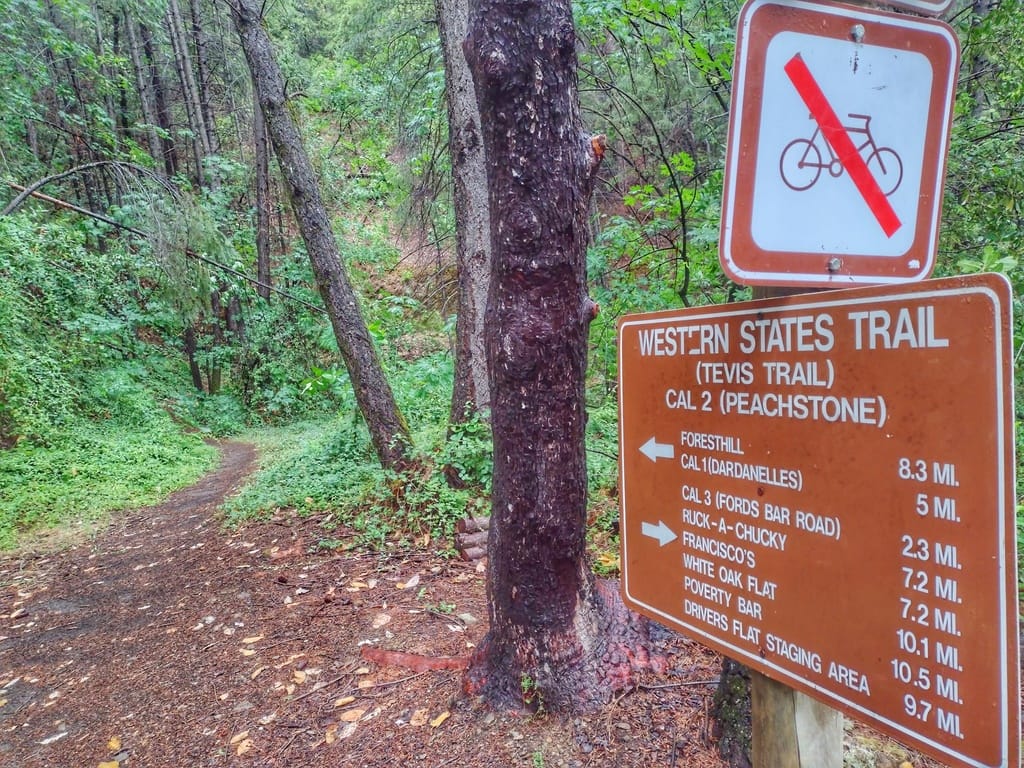
⛰️ Wilderness: the hard no
The Wilderness Act of 1964 bans "mechanical transport" in designated Wilderness. The Forest Service and the National Park Service both count carts, wagons, wheelbarrows and game carts as mechanical transport; the only wheels allowed are wheelchairs used as medical devices. In Colorado's national forests, a standing Forest Service order bans even possessing a cart in Wilderness, so plan to ship your rig ahead or hand it to a friend waiting on the far side.
In November 2026, we checked every Hiking America ADT track against the national Wilderness boundaries and found 14 crossings:
| Segment | Wilderness | Managed by | Miles inside | Route |
|---|---|---|---|---|
| West Virginia 3 | Dolly Sods | Forest Service | 4.5 | Both |
| Illinois South 3 | Clear Springs | Forest Service | 4.0 | Southern |
| Illinois South 3 | Bald Knob | Forest Service | 2.7 | Southern |
| Illinois South 3 | Crab Orchard | Fish & Wildlife Service | 1.8 | Southern |
| Illinois South 3 | Panther Den | Forest Service | 3.3 | Southern |
| Illinois South 5 | Lusk Creek | Forest Service | 8.5 | Southern |
| Illinois South 5 | Garden of the Gods | Forest Service | 5.5 | Southern |
| Colorado West 3 | Collegiate Peaks | Forest Service | 7.2 | Both |
| Colorado West 4 | Holy Cross | Forest Service | 5.6 | Both |
| Nevada 1 | Mt. Rose | Forest Service | 7.1 | Both |
| Nevada 4 | Arc Dome | Forest Service | 17.3 | Both |
| Nevada 5 | Alta Toquima | Forest Service | 7.2 | Both |
| California 8 | Granite Chief | Forest Service | 12.3 | Both |
| California 1 | Phillip Burton (Point Reyes) | National Park Service | 6.6 | Both |
| Northern route total | about 68 | |||
| Southern route total | about 94 | |||
Hiking America ADT tracks against National Wilderness Preservation System boundaries (wilderness.net), November 2026. Main routes only; miles are approximate. Segments west of Denver and east of Ohio are shared by both routes.
Nevada Segment 4 has an Arc Dome Bypass alternate that stays out of the Arc Dome Wilderness, the longest crossing on the list. At the ADT's western end, about 6.6 of the first 11 miles from Limantour Beach run through the Phillip Burton Wilderness at Point Reyes, so the Pacific is a walk-in finish (or start).
Hiker Notes: This is federal law, and rangers can write you a ticket. Plan the handoff before you reach the boundary.
🏜️ Desert miles: physics fights back
Utah's ADT tracks cross no designated Wilderness at all, and Nevada's three crossings are all in the mountains. Down low, the desert stops wheels another way:
- Deep sand that swallows small wheels
- Rocky washes that bend frames and snap axles
- Long, steep grades where a loaded rig feels like an anchor
Where the road surface cooperates, a cart can haul extra water across the long dry stretches.
Hiker Notes: Even where wheels are legal out here, they can cause more trouble than they save. Know when to fold 'em.
🌲 Everywhere else: ask first
Outside Wilderness, the rules come from whoever manages the land: national forests, BLM field offices, state parks, county trail systems and cities. Some welcome carts and strollers, and some keep anything wheeled off narrow singletrack. A stroller's width can get it turned away where a narrow cart is fine.
Hiker Notes: Call the ranger district or park office before you count on rolling a stretch. What's fine on one side of a boundary can be banned on the other.
💡 Setting up your rig
Cart or stroller?
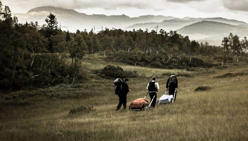
Cart benefits:
- Simpler mechanism, fewer parts to break
- Better for consistent rhythm on long, straight sections
- Usually lighter and more compact when broken down
- Lower profile, less wind resistance
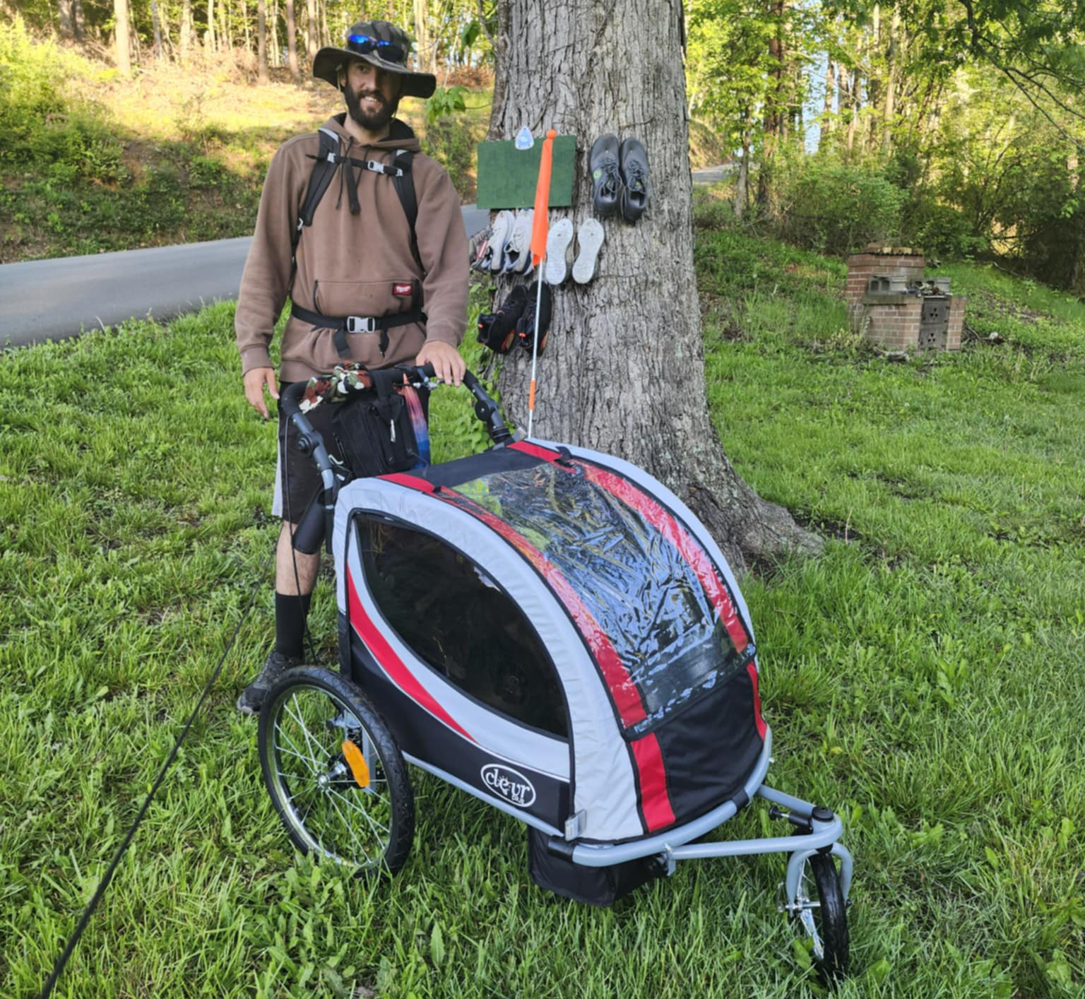
Stroller benefits:
- Superior control on descents and technical terrain
- Better maneuverability around obstacles and people
- Easier access to gear while moving
- More stable when stopped (parking brake!)
Test it near home
Load your rig to trail weight and take it up hills, over gravel, around tight turns and into a crosswind before you leave. Learn how a cart tracks behind you on corners, and practice controlled descents and quick stops with a stroller.
Hiker Notes: What feels smooth on flat pavement can turn into a wrestling match on a 6% grade in a crosswind.
Carry the fix-it kit
Flats will happen. Carry a spare tube, a patch kit and a pump that fits your valves, plus a few zip ties for whatever rattles loose.
Lock it up
One ADT hiker in Delaware reported her stroller and her food stolen overnight. A light cable lock around a tree or post is cheap insurance, and so is parking your rig where you can see it from the tent.
🧭 The bottom line: can you roll the ADT?
Yes, for most of it. Roll the rail-trails, towpaths, city paths and farm roads, and plan a handoff for every Wilderness crossing in the table above. The northern route asks you to go wheel-free for about 68 miles, the southern route about 94.
Before any stretch, check local regulations and the current weather. ☀️
🚲 Rolling the Great American Rail-Trail
The Great American Rail-Trail runs cross-country from Washington, D.C., to Washington State, linking rail-trails with on-road gaps between them, which makes it one of the friendliest long routes in the country for a cart or stroller. Great American tracks are free to anyone: get the free Great American tracks.
Got a question about rolling a specific ADT segment? Members can ask me anytime. ADT GPS data is subscription-only, and it covers every segment named on this page. 🚛