
Over the Divide: Bernie Crosses the Spine of the Continent
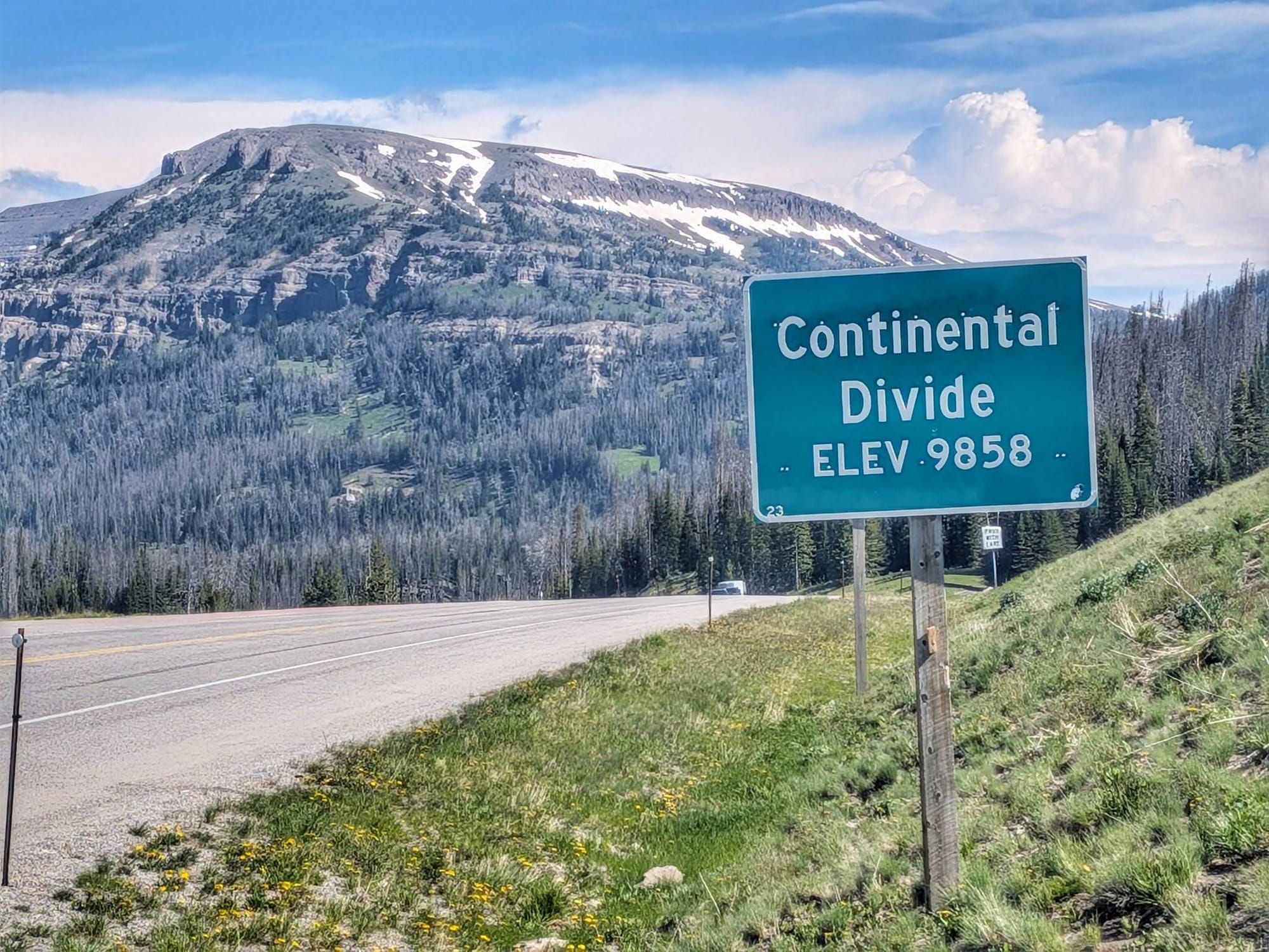
On Day 89, Bernie Krausse stood on the Continental Divide at 9,655 feet — the line where the country tips from one ocean toward the other. He'd walked from the Capitol Reflecting Pool to reach it.

KEY TAKEAWAYS
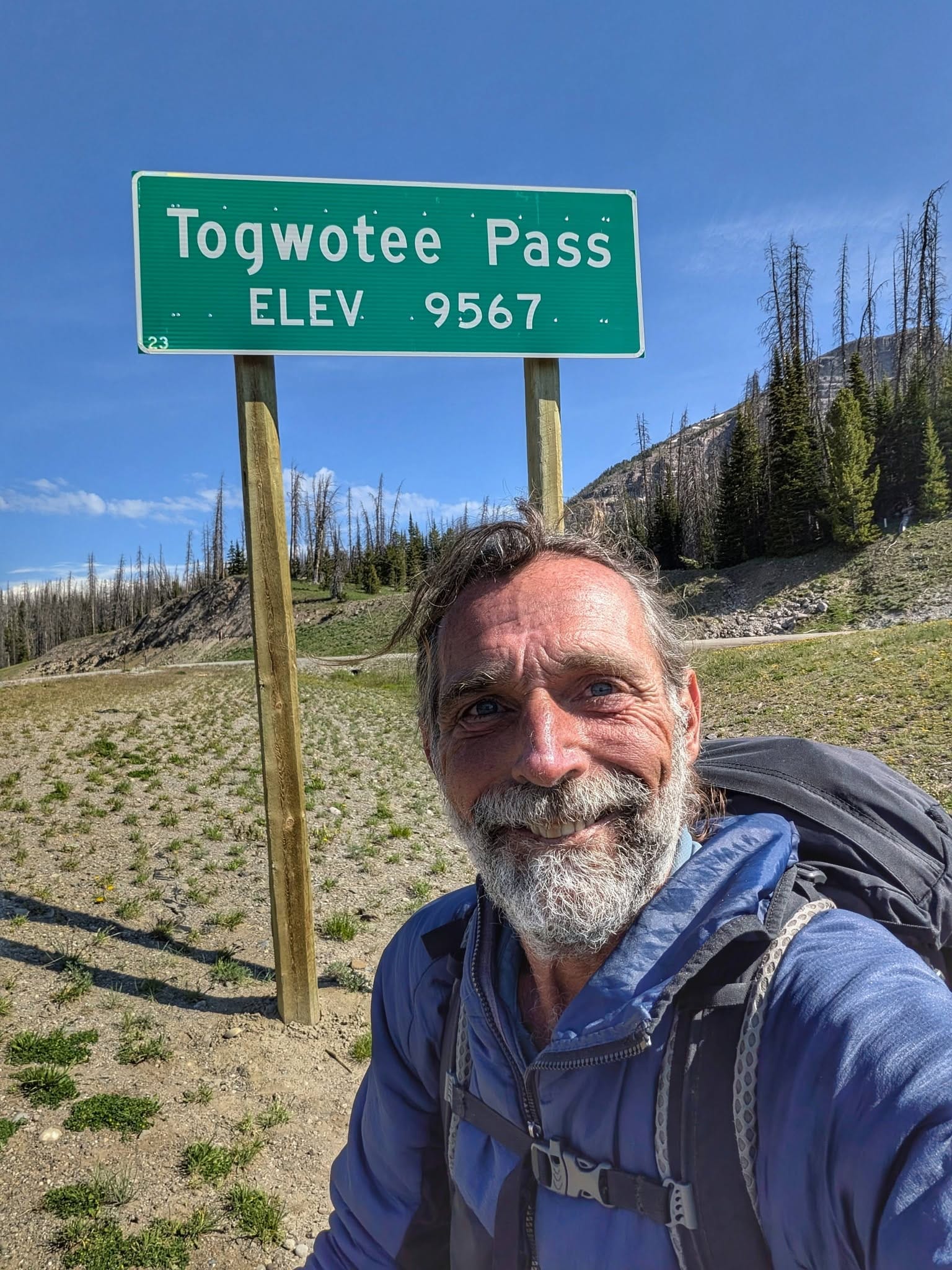
- Continental Divide crossed: Day 89 at Togwotee Pass (9,655 ft) — the Atlantic/Pacific watershed line.
- Yellowstone reroute: the CDT corridor through the park is closed for bear activity until early July; fallback is the southern bike route via Ashton, ID, toward West Yellowstone, MT.
- Water is the constraint: dry camping above Dubois (no water until ~8,300 ft); a ~25-mile dry stretch into Ashton.
- Shared corridor: Wyoming has almost no finished Great American Rail-Trail; the route overlaps the TransAmerica and Great Divide bike routes.
- Data: 218 new waypoints added this week, pushing the Great American Rail-Trail collection past 9,000 total.
Bernie Krausse
Great American Rail-Trail - Westbound
Started: March 28, 2026
Support Links: ImHikingAmerica, Facebook, Venmo, PayPal Donate
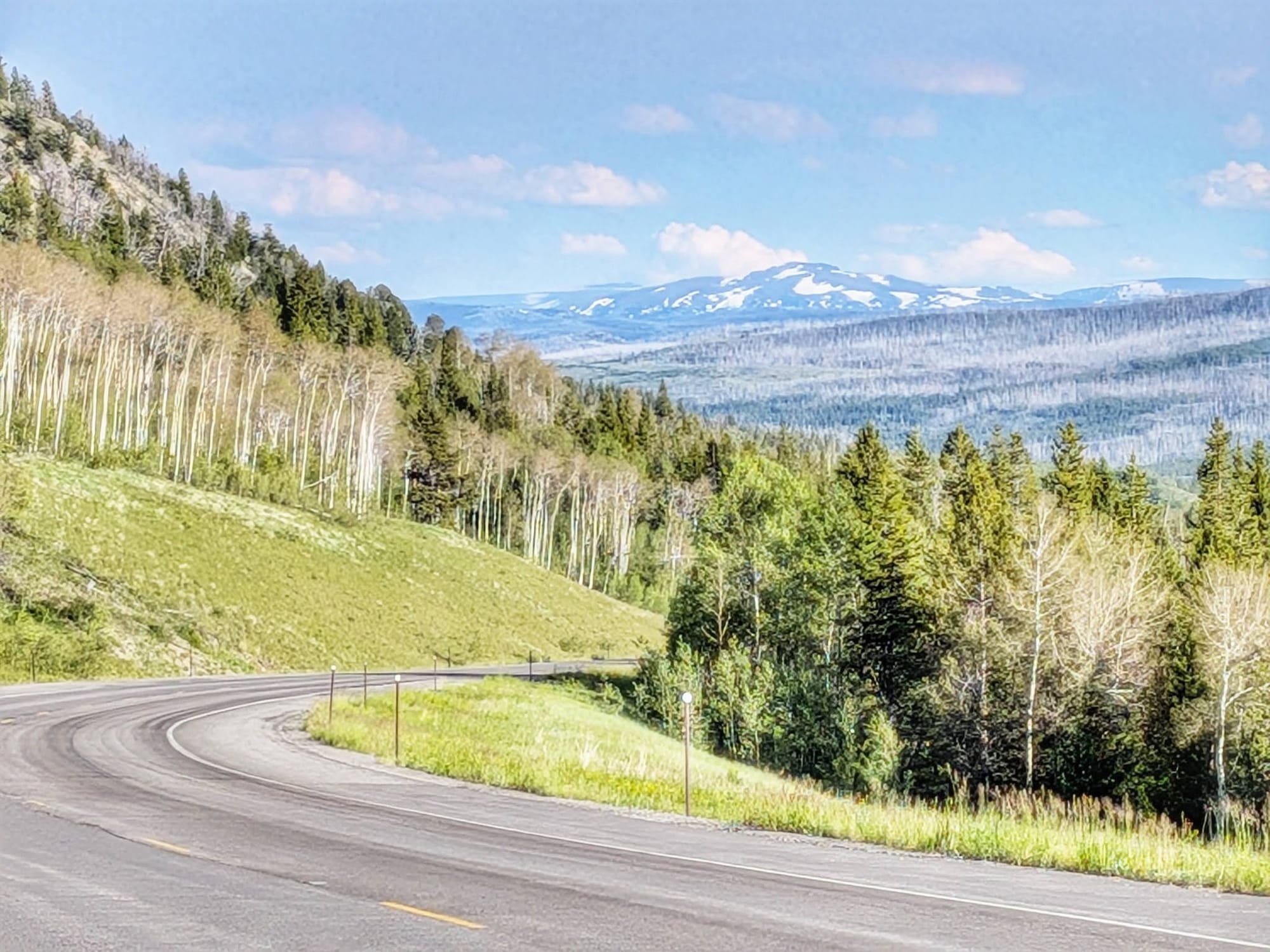
On Day 89, Bernie Krausse climbed to the top of Togwotee Pass and stood on the Continental Divide — 9,655 feet, the line where the country quits draining toward the Atlantic and starts running to the Pacific. He'd walked from the Capitol Reflecting Pool to reach it. East of that line, every creek he'd crossed since March eventually found the Mississippi. West of it, the water heads for the Columbia and the sea.
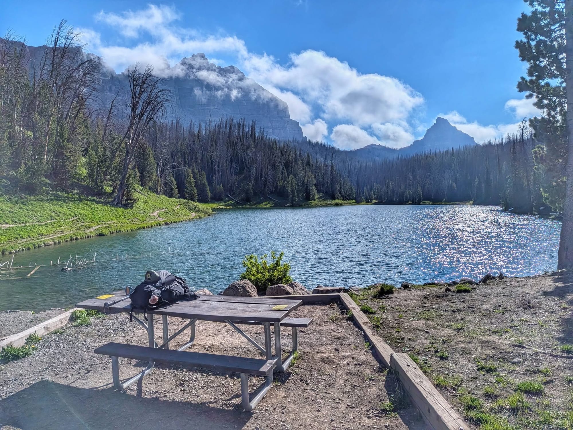
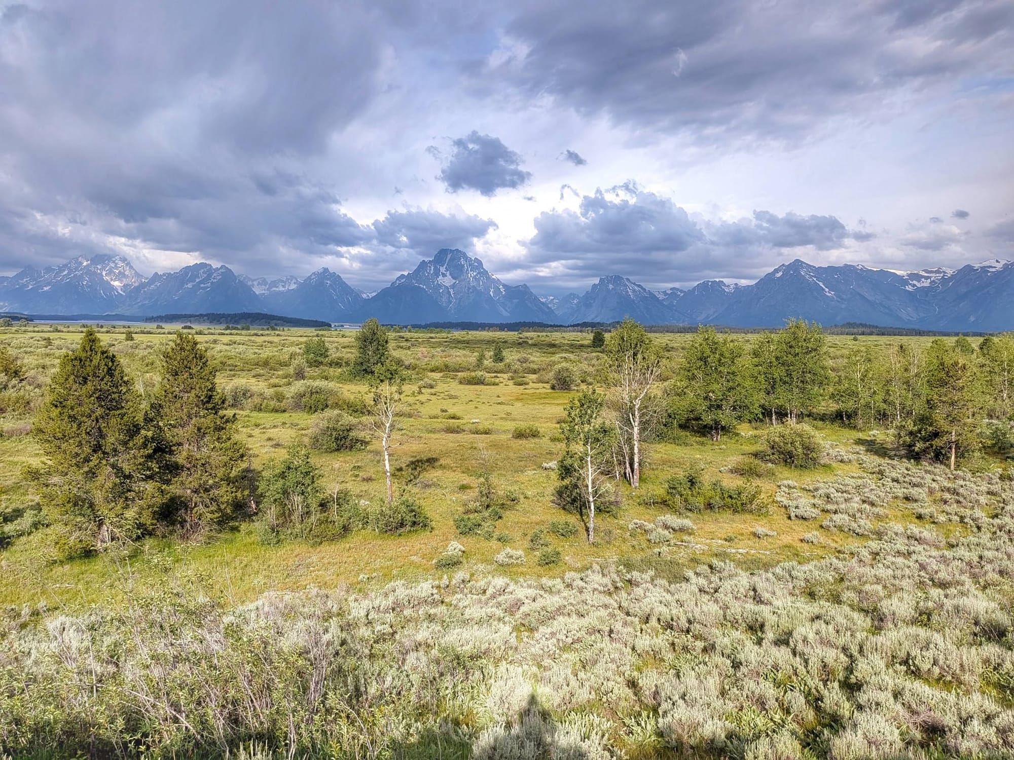
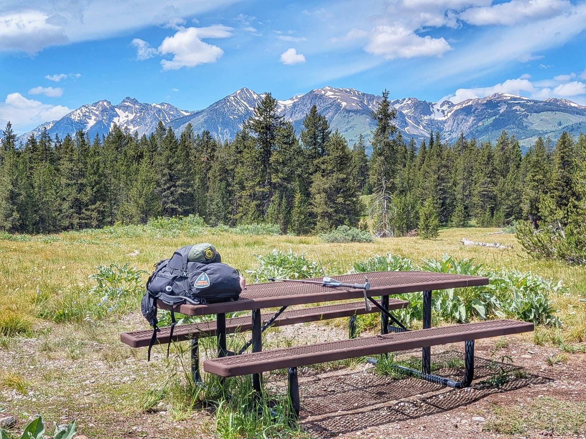
He ate breakfast at a picnic table on the pass and talked with a Forest Service man who'd driven up to fish. Off the western slope, the Tetons stood up out of the haze.
Stage 3 closes at Riverton
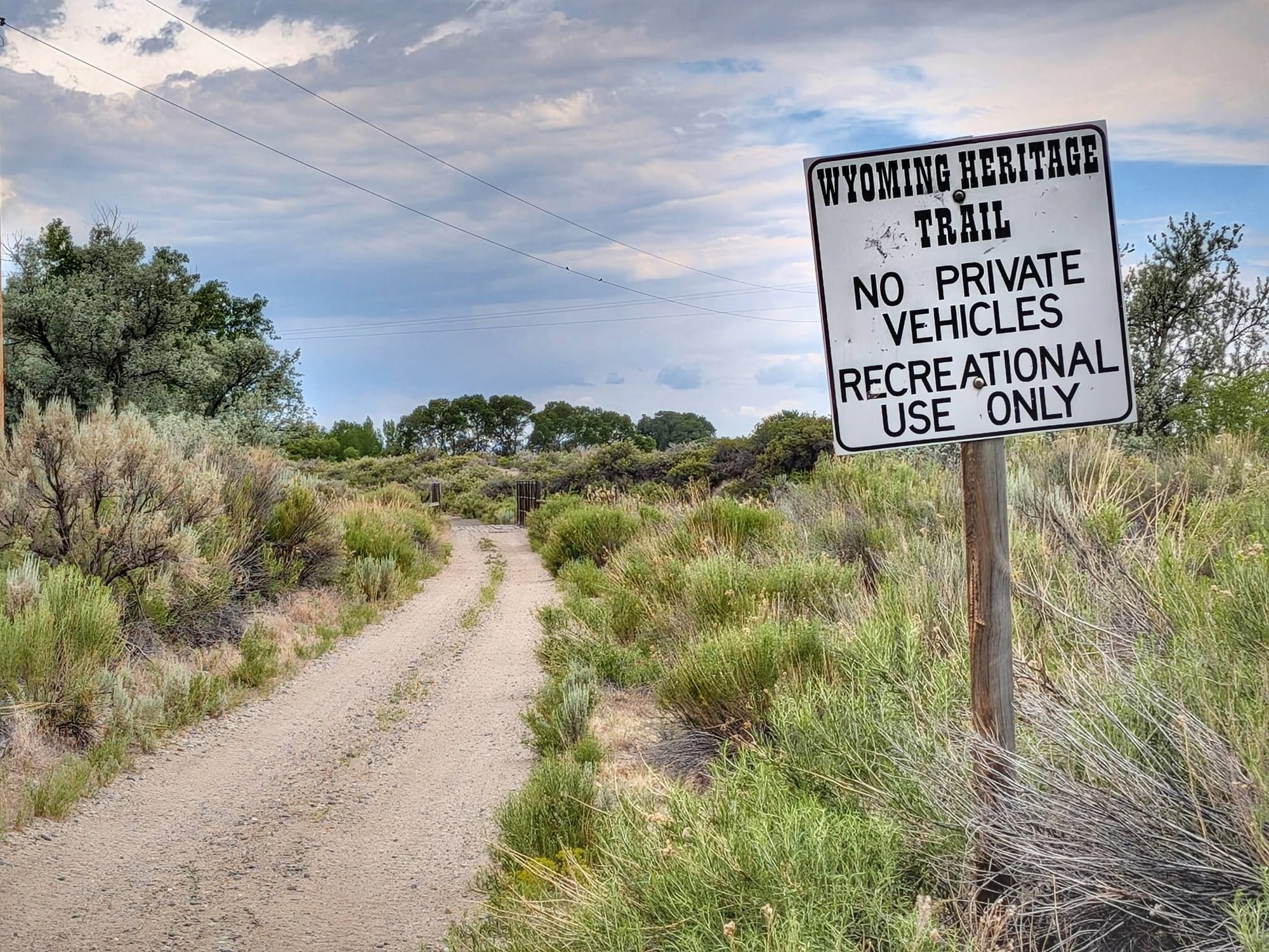
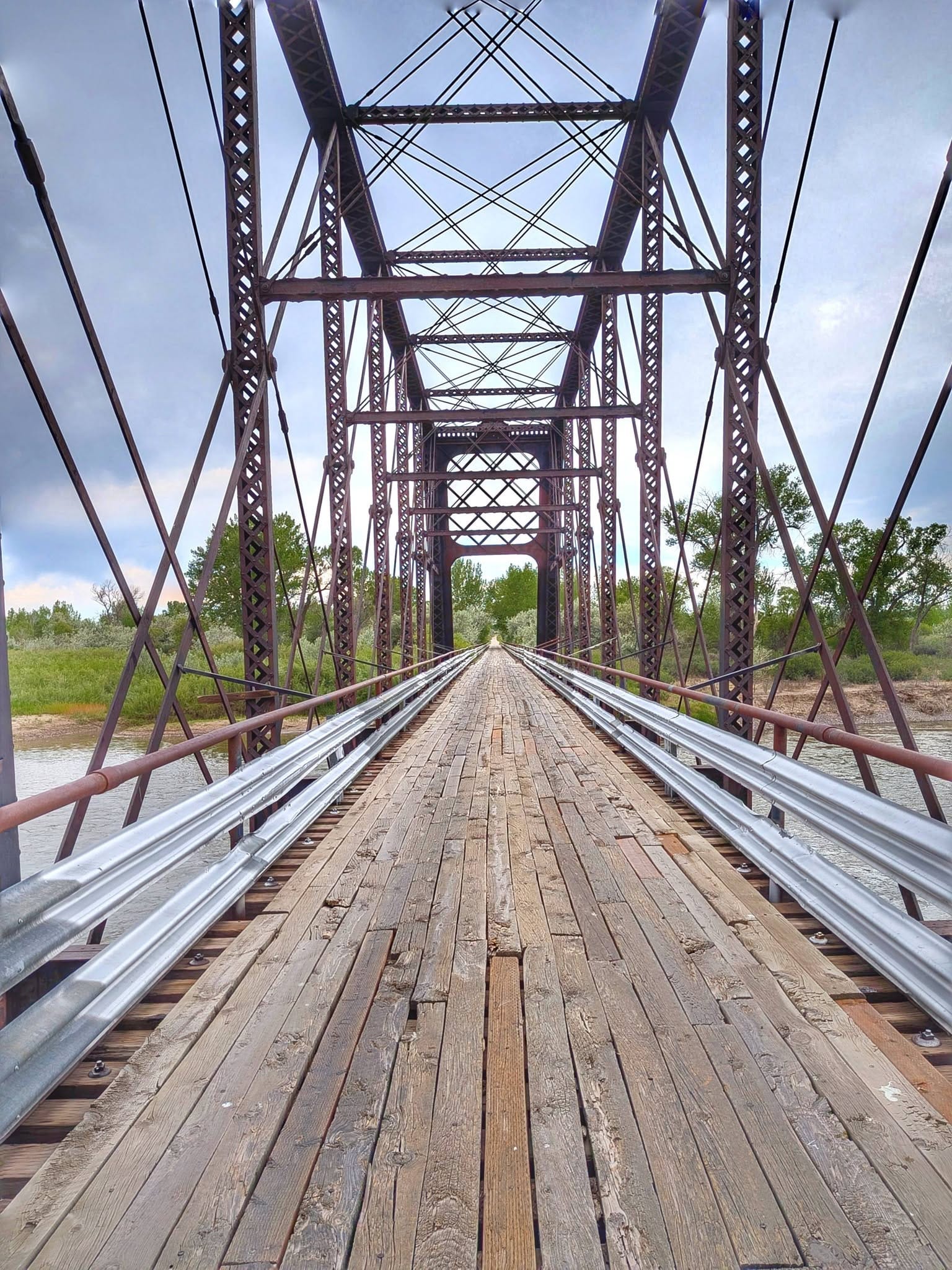
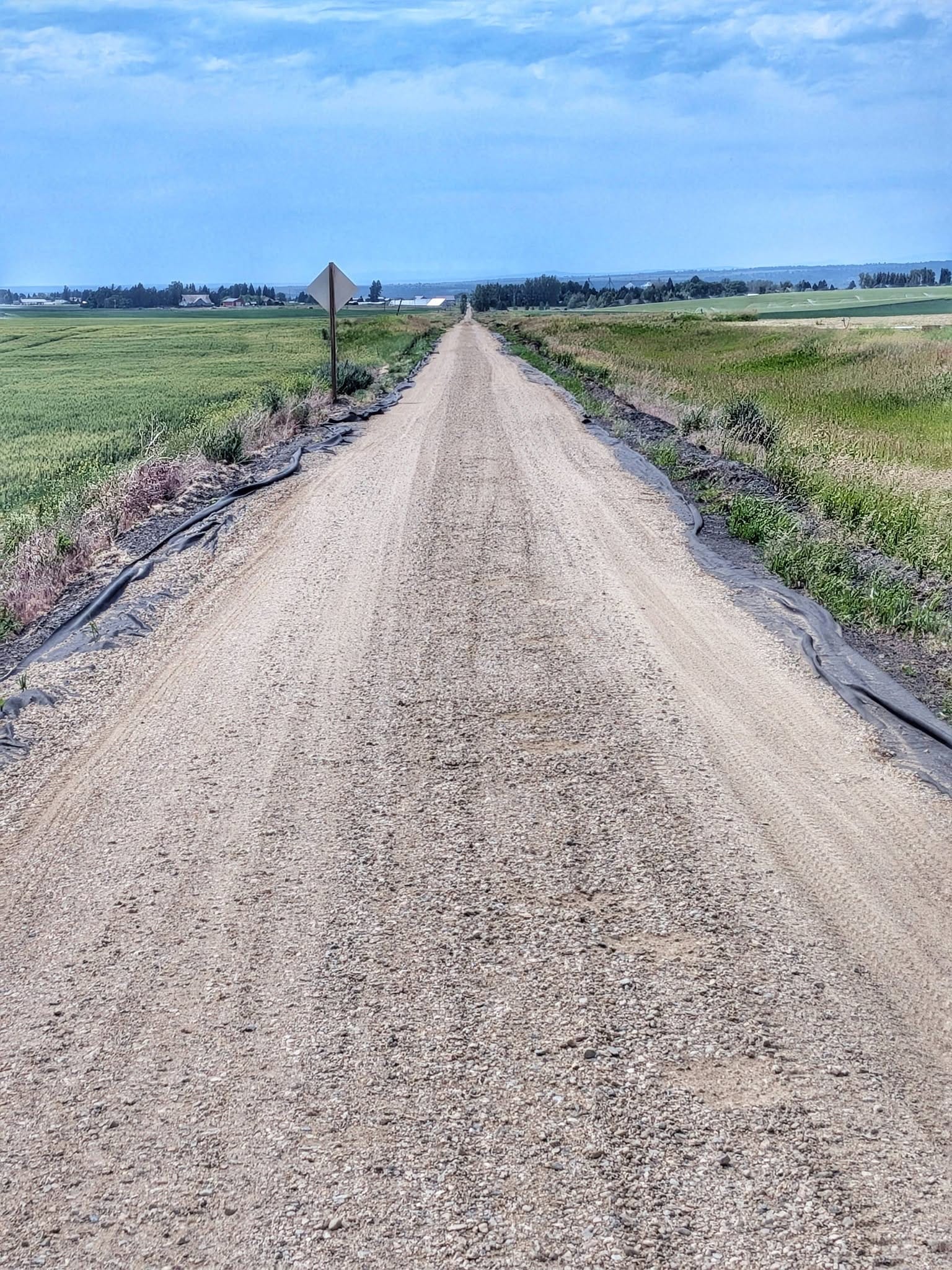
Two days earlier, Bernie walked the Wyoming Heritage Trail into Riverton and closed out Stage 3 — about 19 miles, the Wind River Range glittering with late snow off his shoulder. No cyclists. No other walkers. Just ATV tracks where ranchers had been out checking stock, a swift fox the day before, sandhill cranes, a kingfisher working the old railroad bridge over the Wind River. Then he reached his hotel and the sky turned on him. Wind past fifty. Dust over the whole street. Sirens somewhere across town.
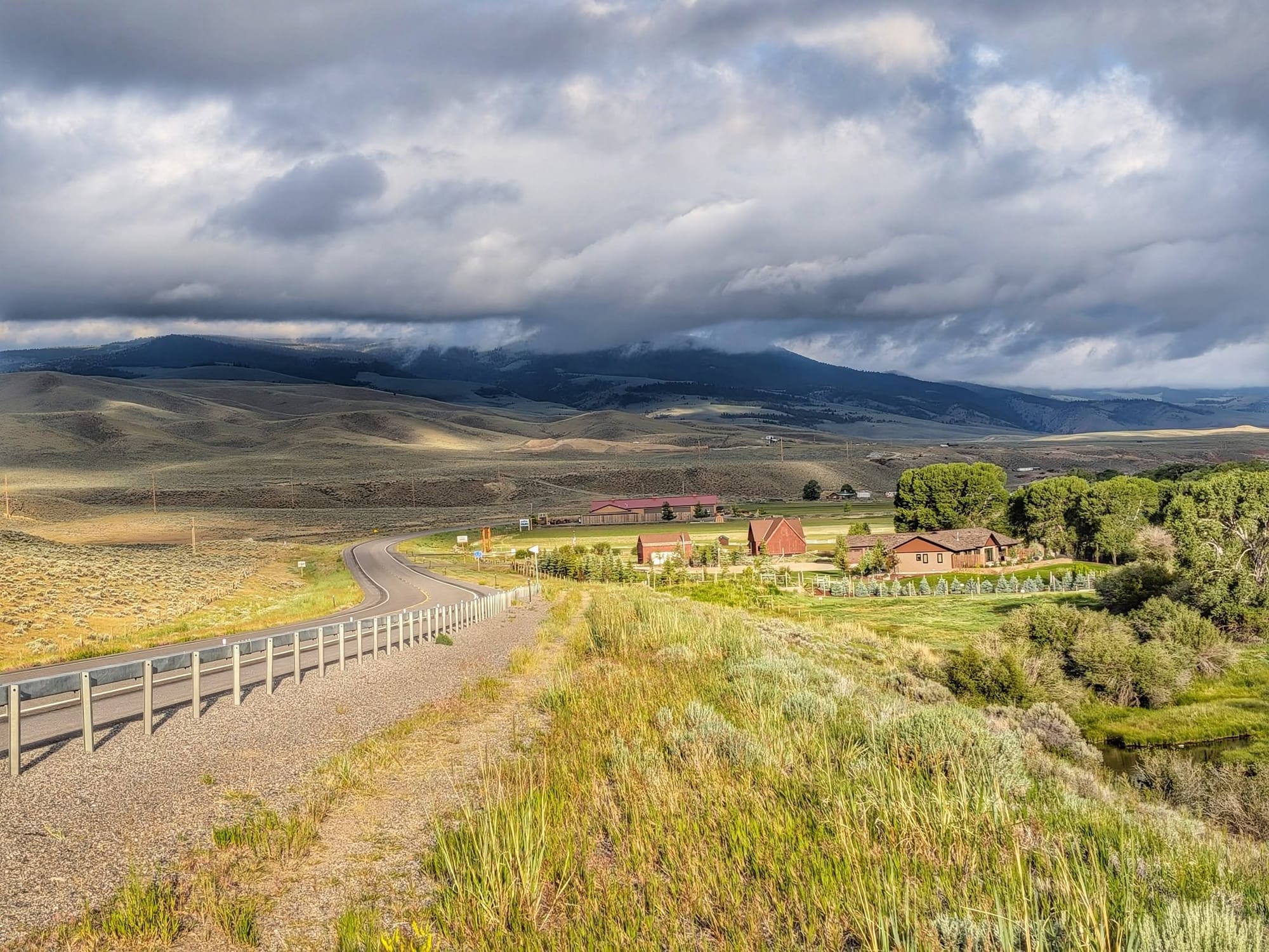
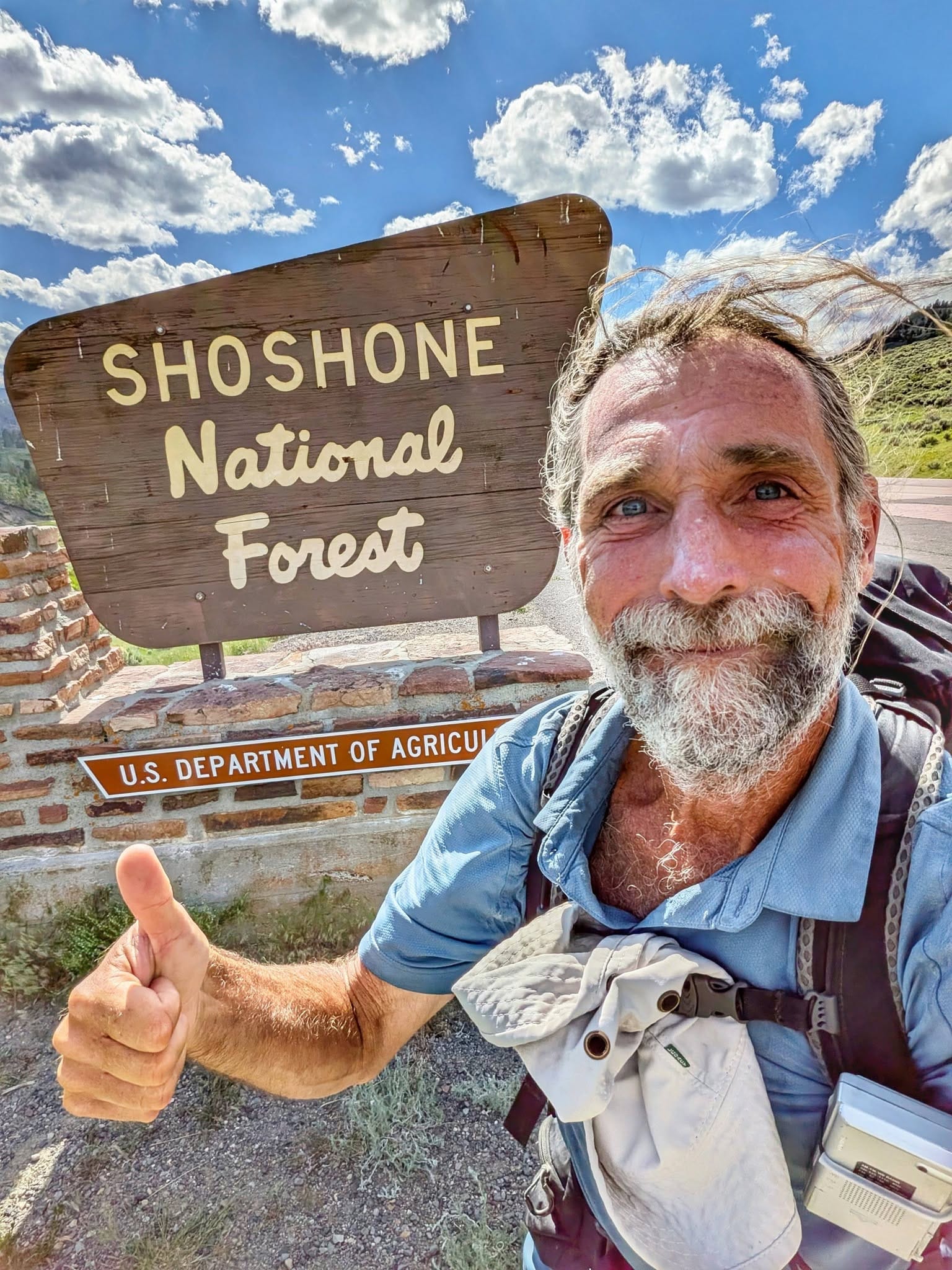
Stage 4 opened the next morning on the solstice, aimed straight at the Rockies. Within a few miles, a man pulled over with water, a beer, and a warning — this country has its share of people who go missing, he said, and the store ahead was closed, and there was snow at the pass. The last part didn't hold up. Minutes before, someone had leaned out of a speeding car just to scream at him. Bernie laughed it off. Then the kindness started arriving in a steady line. A second man stopped to offer a ride. Two Eastern Shoshone elders in traditional dress stopped to offer another. "Good hearts are prevailing," he wrote.
The climb to the line
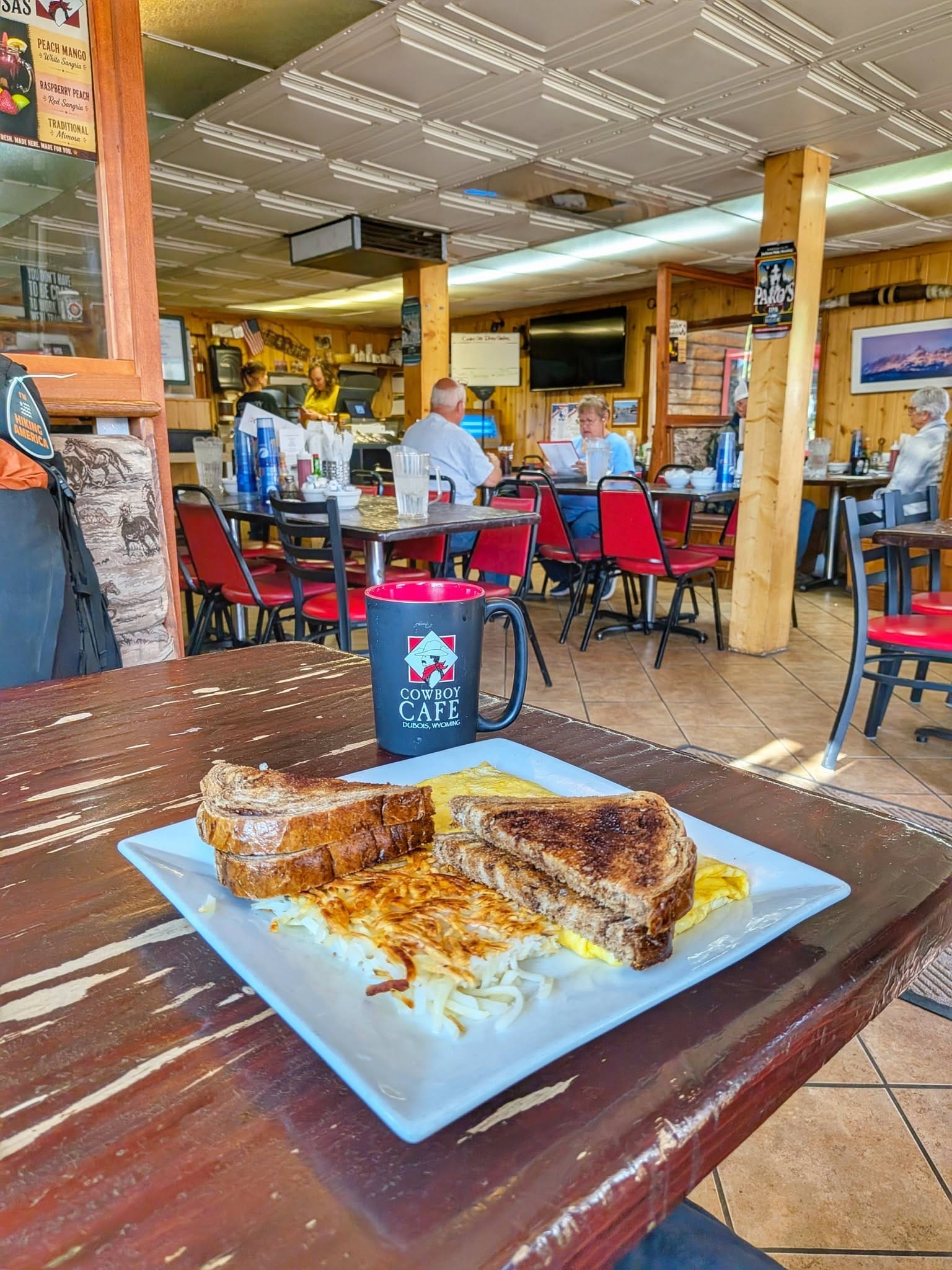
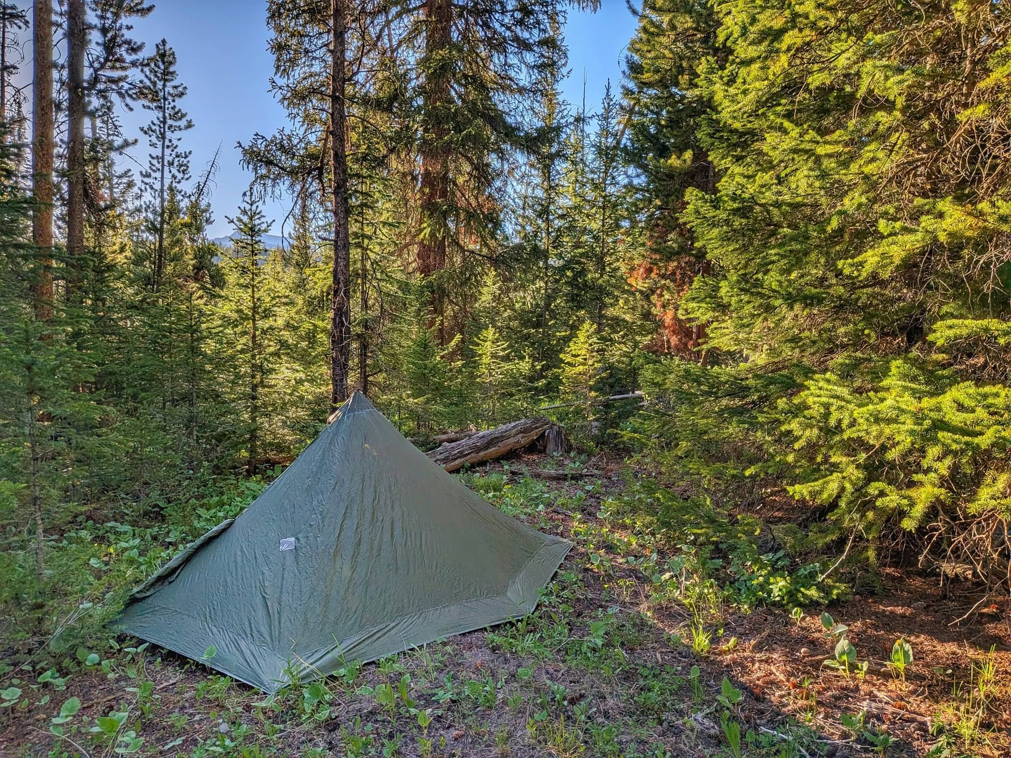
Bernie resupplied in Dubois for the 127-mile push toward Ashton, Idaho — an omelette at the Cowboy Cafe, a ten-minute talk with a curious sheriff on his way out of town. The forest above Dubois is half dead, gray stands of beetle-killed lodgepole running for miles. Water ran thin all the way up. He dry-camped at 8,300 feet next to a winter-old pile of moose droppings and called it good company.
Then up. Past the Continental Divide Trail junction, past Wind River Lake, to the top of Togwotee. Togwotee means lance thrower in Shoshone — or, the way Bernie turns it over, exactly there: the bullseye, the fulcrum between the coasts.
Yellowstone says no, for now
Bernie had planned to walk the Continental Divide Trail straight through Yellowstone. John, scouting the route ahead from Hiking America, found the gate shut — the Park Service had closed that corridor over bear activity until the holiday weekend in early July. So the plan changed on the page. Instead of single-track through the park, Bernie dropped south and west around it: the established bike route through Ashton, Idaho, aiming for West Yellowstone, Montana on the far side. He picked up his rations in Dubois and turned for Idaho.
The company on the road
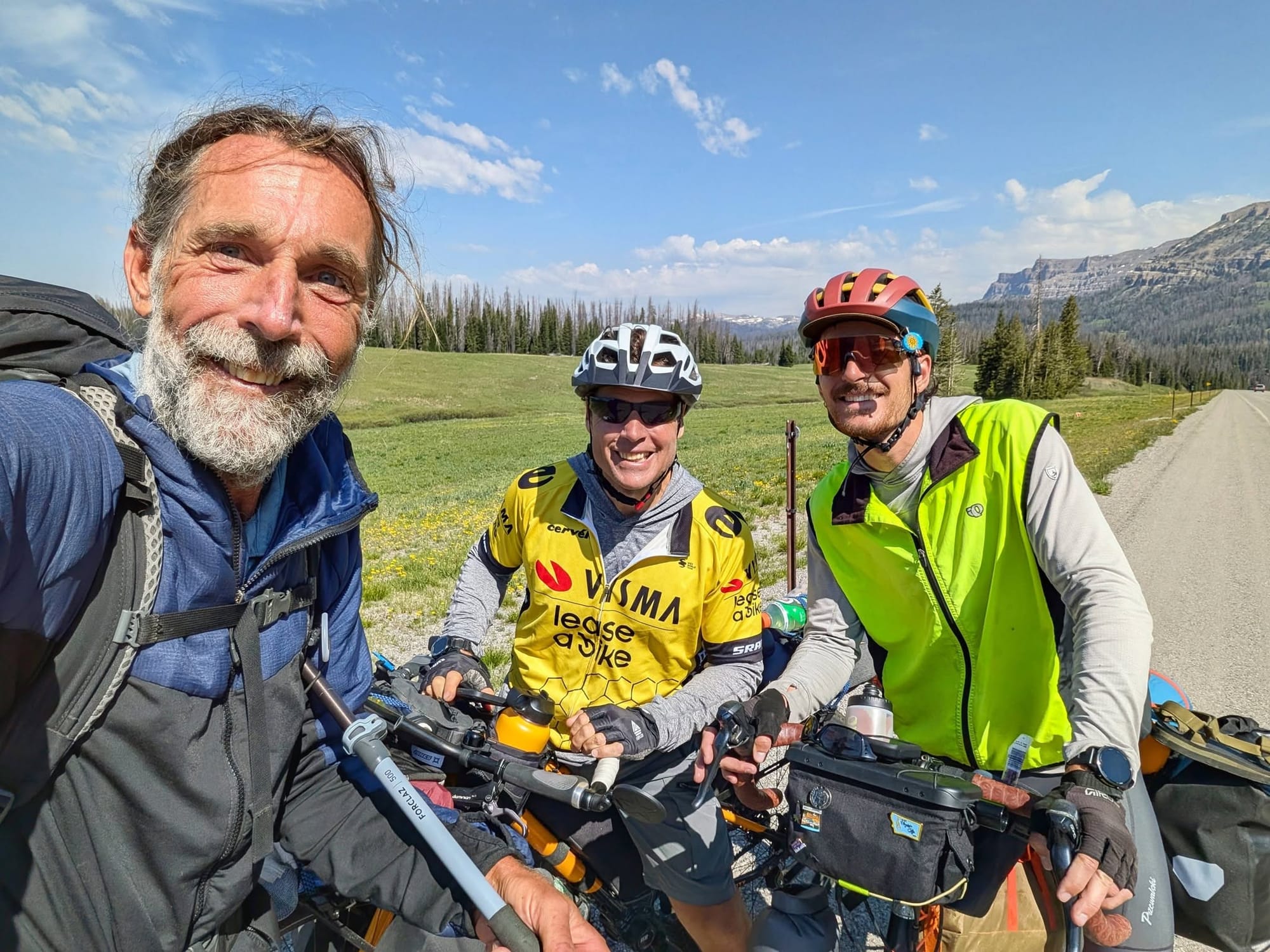
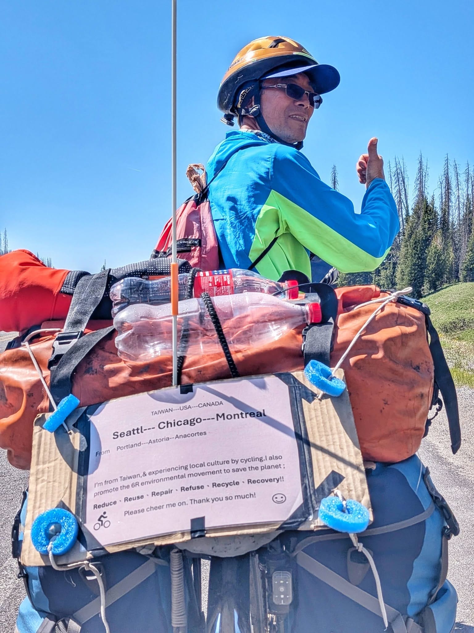
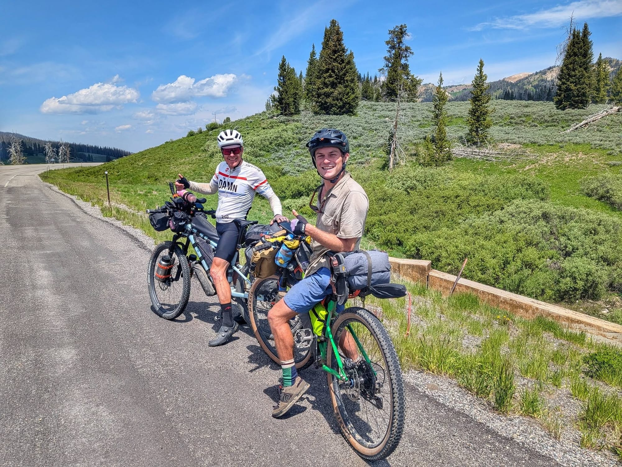
Wyoming has almost no finished Great American Rail-Trail, so Bernie has been walking the corridors that do exist — highways, forest roads, and the long-distance bike routes that thread the same mountains. The Divide is where they all stack up. On Day 89, he passed more than twenty cyclists in a single afternoon. TransAmerica riders bound for New York and Boston. A rider from Taiwan finishing in Montreal. Great Divide riders are grinding north out of New Mexico toward the Canadian line. Alex, from Geneva — a city Bernie knows, his mother raised near Lake Zurich — was one of 35 who'd left Astoria and was covering 120 miles a day.
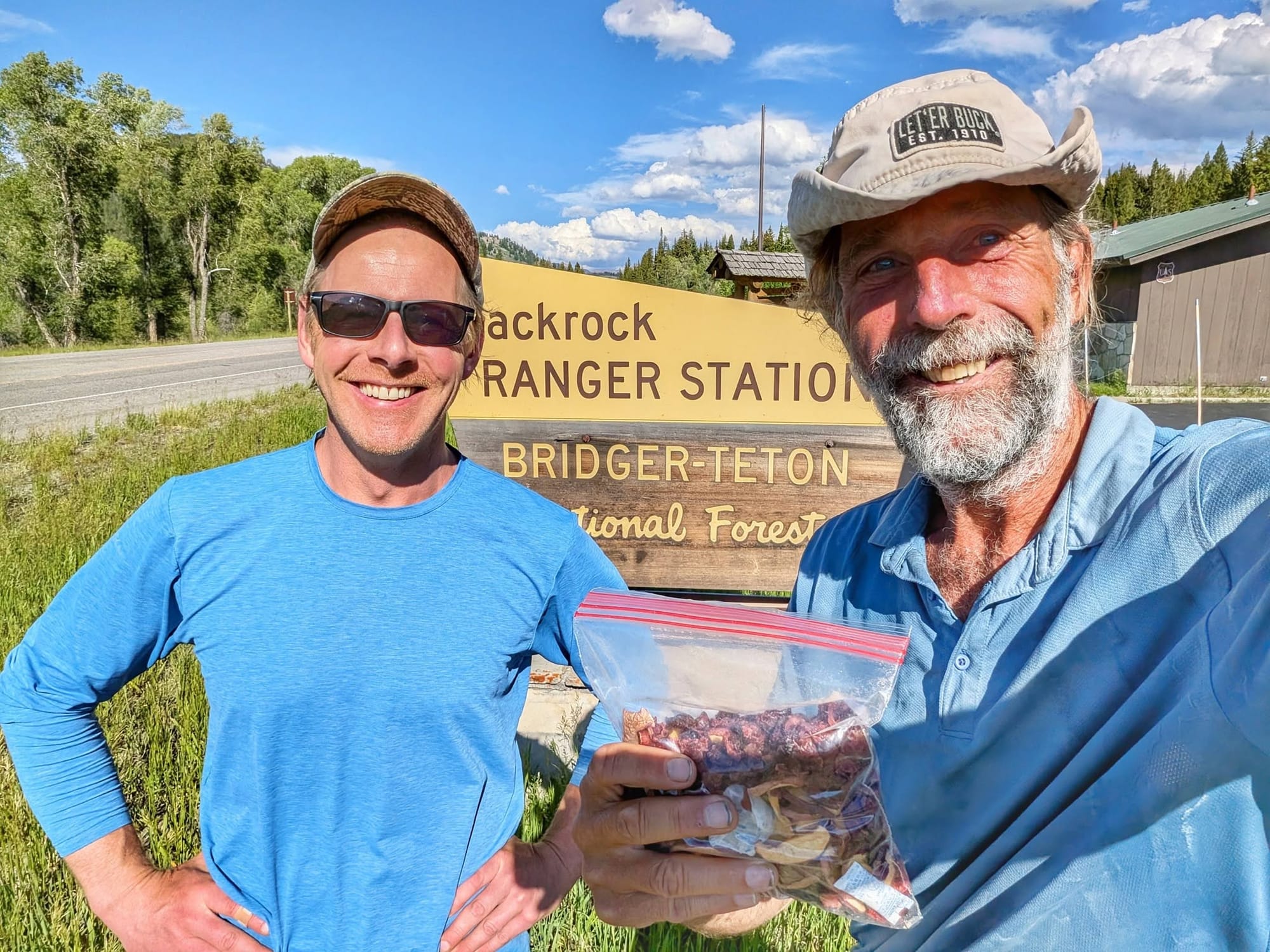
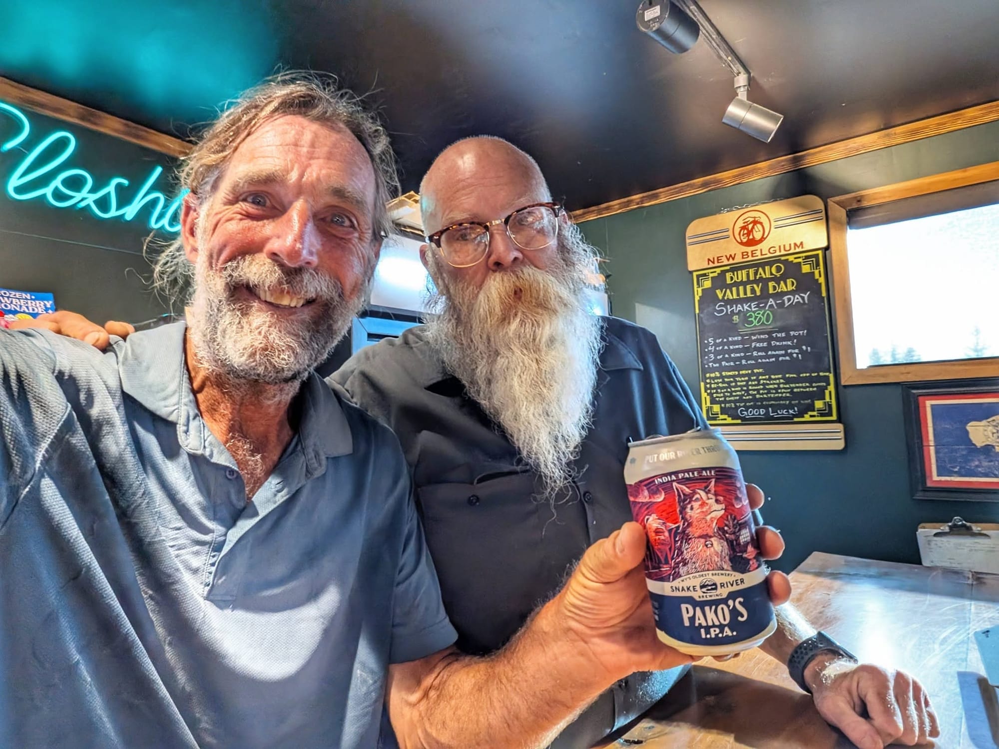
The trail angels kept pace with the cyclists. Chris, just off the CDT and up to volunteer on a trail crew, handed over three slices of pizza and a bag of dried fruit. Kevin, tending bar near Jackson Hole, bought him a Snake River beer. Ted, out of Idaho Falls, popped his hatchback on a 25-mile dry stretch and pulled out a cold yerba mate and a bottle of electrolytes to get him across.
The Grand Teton Zoo
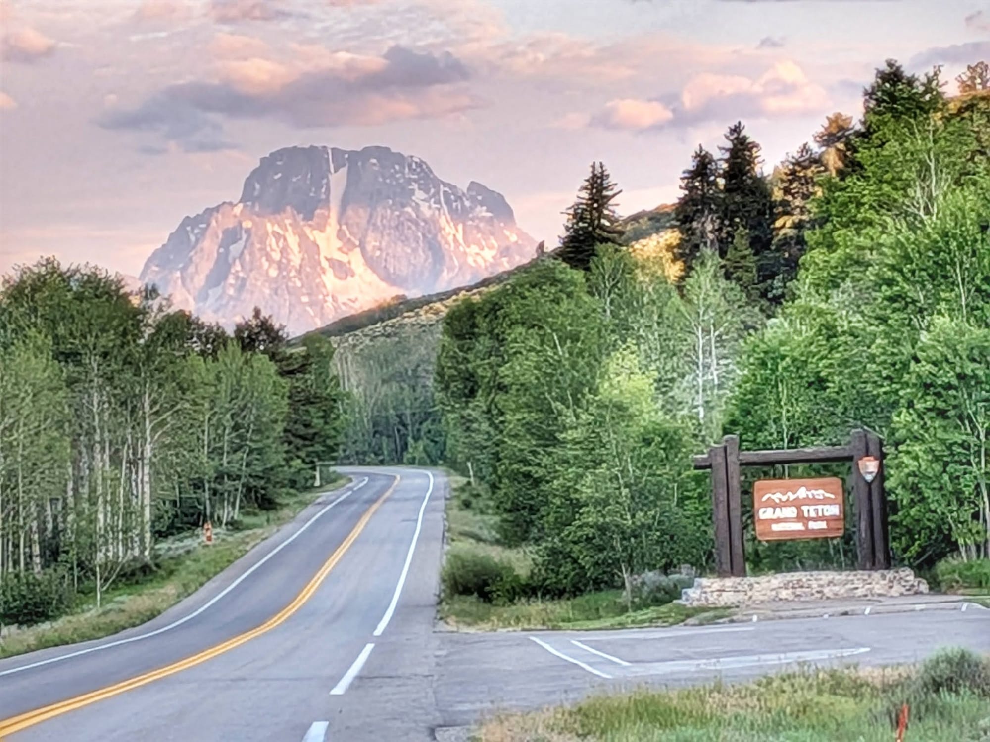
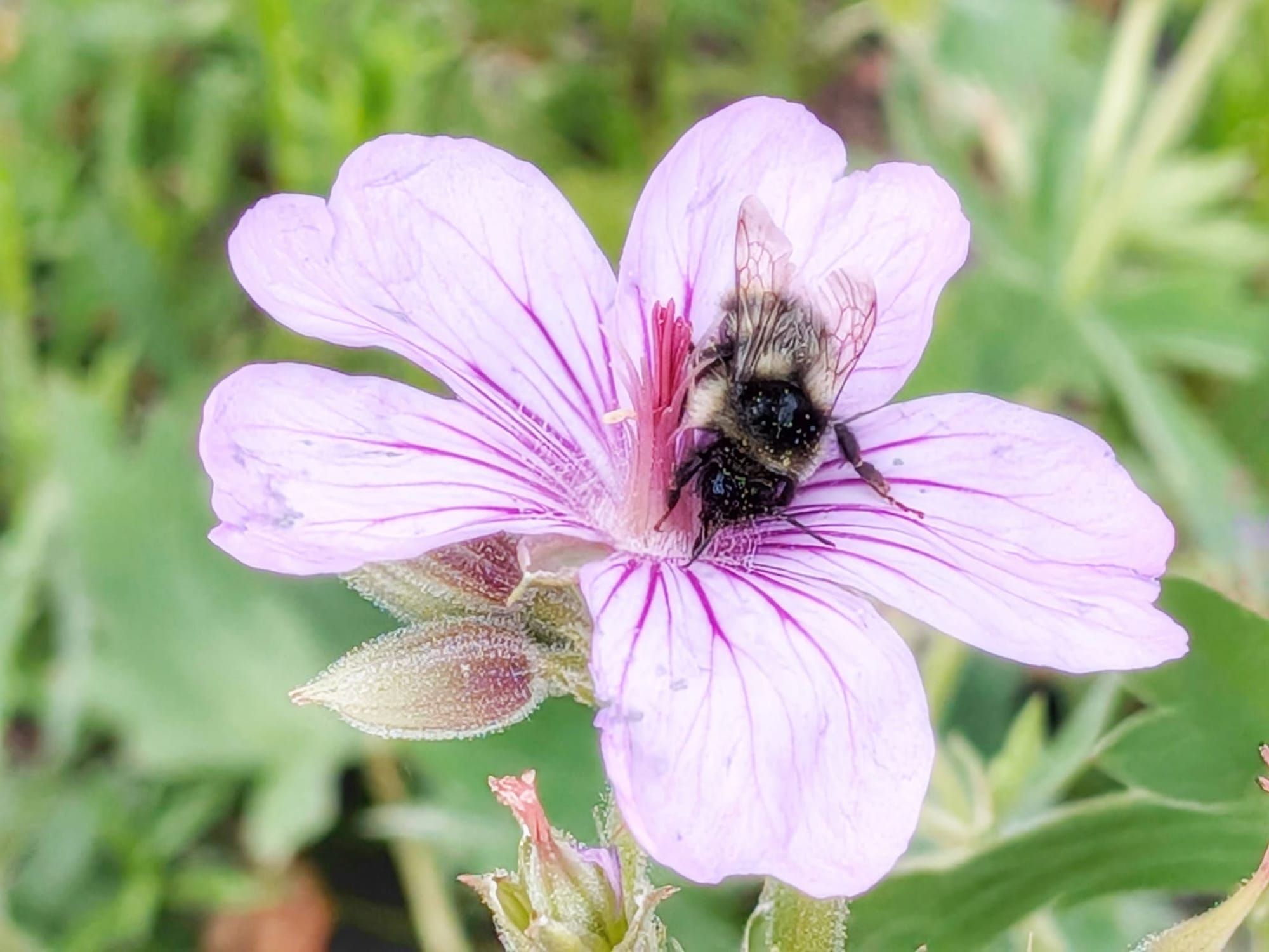
Day 90 ran 25 miles up the highway shoulder through Grand Teton National Park — a two-foot strip of pavement between Bernie and the oncoming traffic. He called it the Disneyland of wildernesses. Two women flagged him down to warn of a grizzly ahead; twenty cars were already stopped, passengers hanging out their windows. An Amish man stood off the road with a cigar, trying to spot a moose through the trees. Elk in the distance. Cranes flushing into a building storm. The roadside ran like a florist's bench — balsamroot, lupine, arnica, harebells, forget-me-nots, Indian paintbrush — and he named them off one by one as he walked. He didn't stop until nearly ten that night. Forty miles.
Three months on
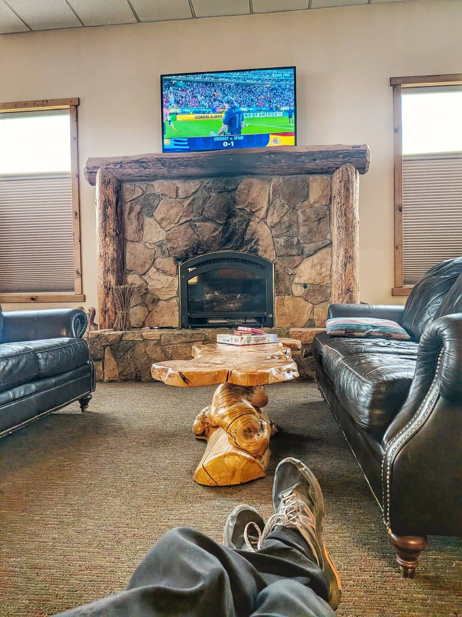
By Day 91, Bernie had been walking for roughly three months. He crossed into Idaho along the southern rim of the Yellowstone Caldera, picked up the Ashton-Tetonia Rail-Trail — currently being resurfaced — and resupplied in Ashton before landing a twenty-dollar tent site at a lodge on the edge of town. He spent the evening in the lobby with a beer and a coffee going at once, watching World Cup football, a free breakfast promised for the morning. "The world that I experience has always been for me and not against me," he wrote.
West Yellowstone is next, then Montana — and the long walk down the Bitterroot toward Missoula, where Stage 5 begins.
Three lines through the gap
There is almost no finished Great American Rail-Trail through Wyoming and into southwestern Montana. The official alignment exists on the map, but on the ground it's a string of disconnected segments and long blanks — not something you can walk end to end yet. So we built a way through it.
Our hiker alternate generally follows the Continental Divide Trail, which runs roughly parallel to the Great American Rail-Trail corridor across this stretch. It's the route Bernie has been walking — over Togwotee, along the southern rim of Yellowstone, on toward Butte. It trades flat rail grade for mountains. But it connects, and it carries water and resupply you can plan around.
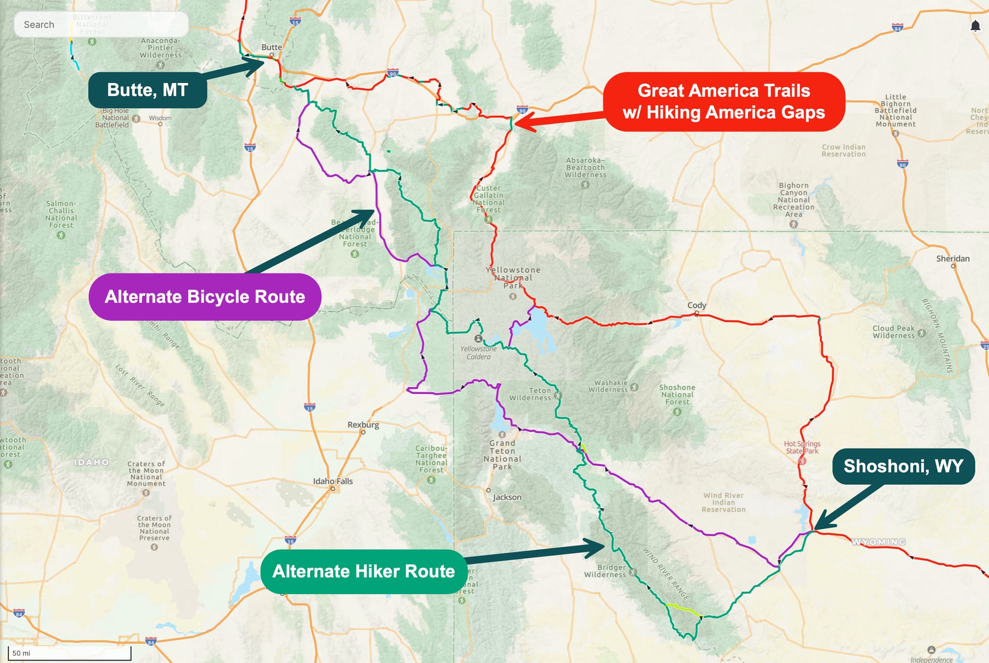
On top of that, we mapped alternate bike routes along the same corridor — for the weeks when the high country is buried in snow, or when a section of the Continental Divide Trail closes outright, the way Yellowstone did this week. When the single-track shuts, the bike route is the detour, and it's already on the map.
Walk it with us
Every mile Bernie covers becomes data. This week, we added 218 new waypoints to the Gaia GPS files for our Great American Rail-Trail guides, pushing the collection past 9,000 waypoints total — water sources, camps, resupply, road-walk hazards, and reroutes like the one around Yellowstone, all field-checked against what Bernie is finding on the ground.
The GPS tracks are the free entry point — download them and follow the route Bernie is walking.
The curated services waypoints, the layer that tells you where to eat, sleep, and resupply along the way, come with a Hiking America subscription ($7/month or $70/year, with Gaia GPS integration).
Already subscribed? Your Great American Rail-Trail files are updated — re-sync in Gaia to pull this week's 218.
Hike Your Hike - John.