
Week 17 on the Great American Rail-Trail: Scablands to the Cascade Foothills
Bernie Krausse crosses the Channeled Scablands on grain elevator spigots and a rancher's solar well, walks the Beverly Bridge over the Columbia hours before the town was evacuated, then covers 22 miles of Army live-fire ground and reaches the Cascade foothills at Cle Elum.

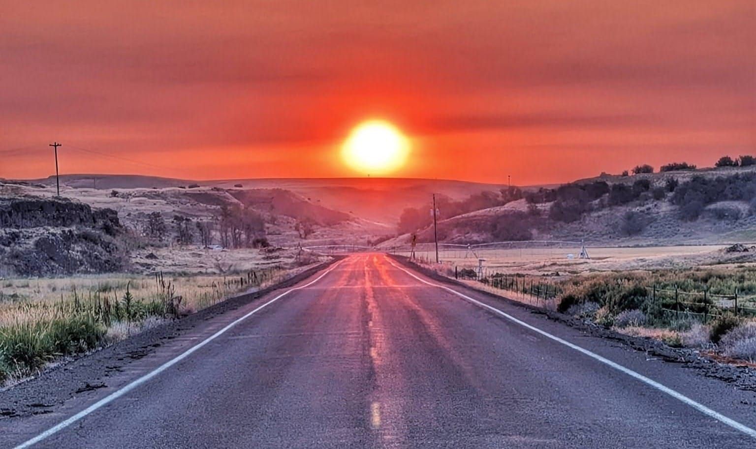
All photos by Bernie Krausse
Four liters of water, 100 degrees, and 22 miles of Army live-fire land with nothing to drink on it. Bernie Krausse's Week 17 on the Great American Rail-Trail runs from the Channeled Scablands to the Cascade foothills, and out of Beverly a few hours ahead of the fire that emptied the town.
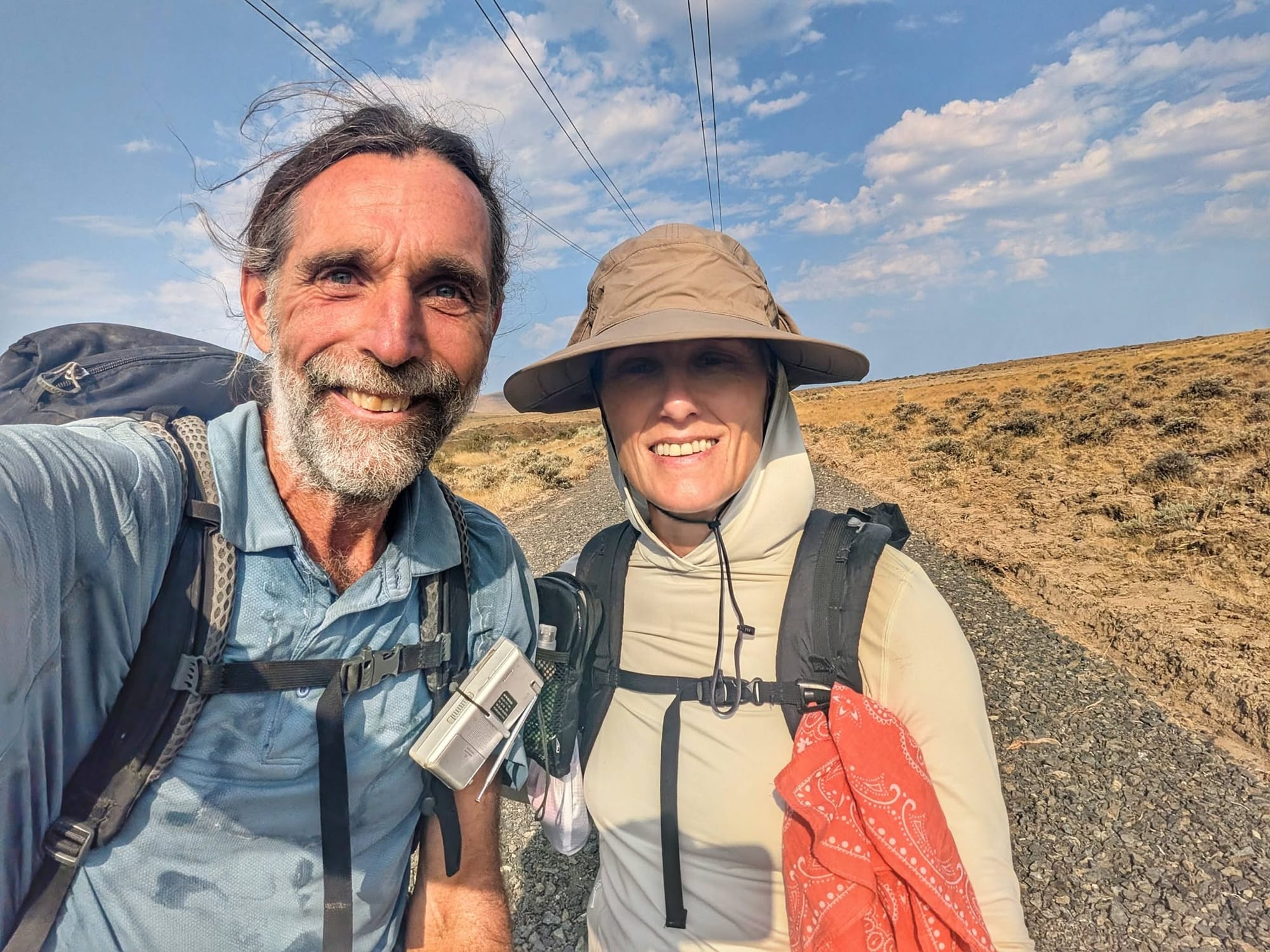
Bernie Krausse
Great American Rail-Trail - Westbound
Started: March 28, 2026. Washington, DC, Capitol Reflecting Pool.
Finished: August 3, 2026. Day 130, La Push, Washington.
Support Links: ImHikingAmerica, Facebook, Venmo, PayPal Donate
Bernie Krausse is walking west across Washington on the first known end-to-end foot thru-hike of the Great American Rail-Trail, field-verifying Hiking America's GPS data as he goes. Week 17 took him through the driest stretch of the whole trail, across the last big river between him and the Pacific, and into the mountains.
Key takeaways
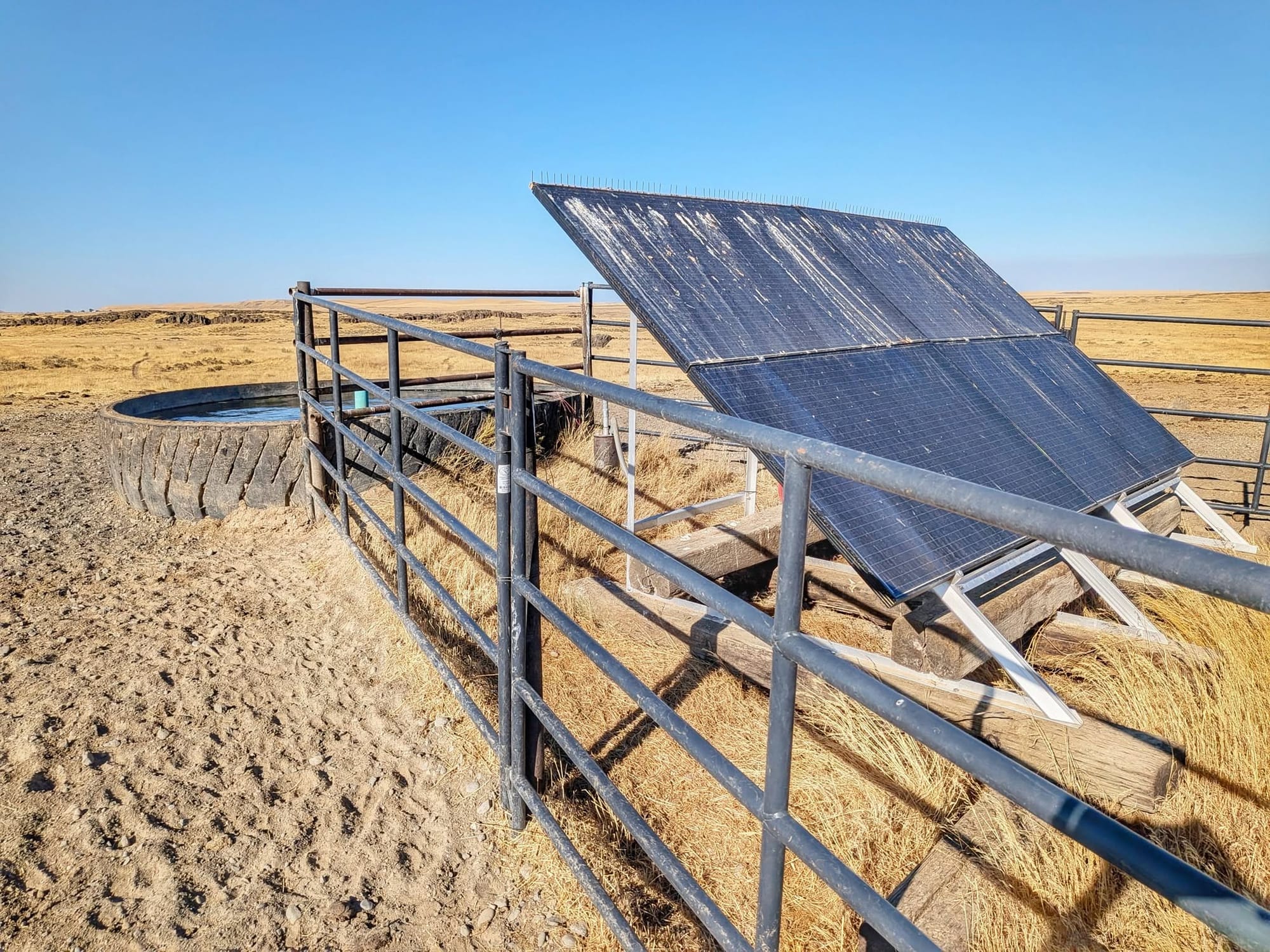
- Water in the Scablands came from three places: a spigot at the Ewan grain elevator, a working spigot on the old restroom building at Revere, and a solar well feeding a cattle trough on the Cow Creek ranch bypass.
- Cow Creek Crossing, the landowner-built bypass around the missing trestle east of Ralston, is open March 1 through October 31 only.
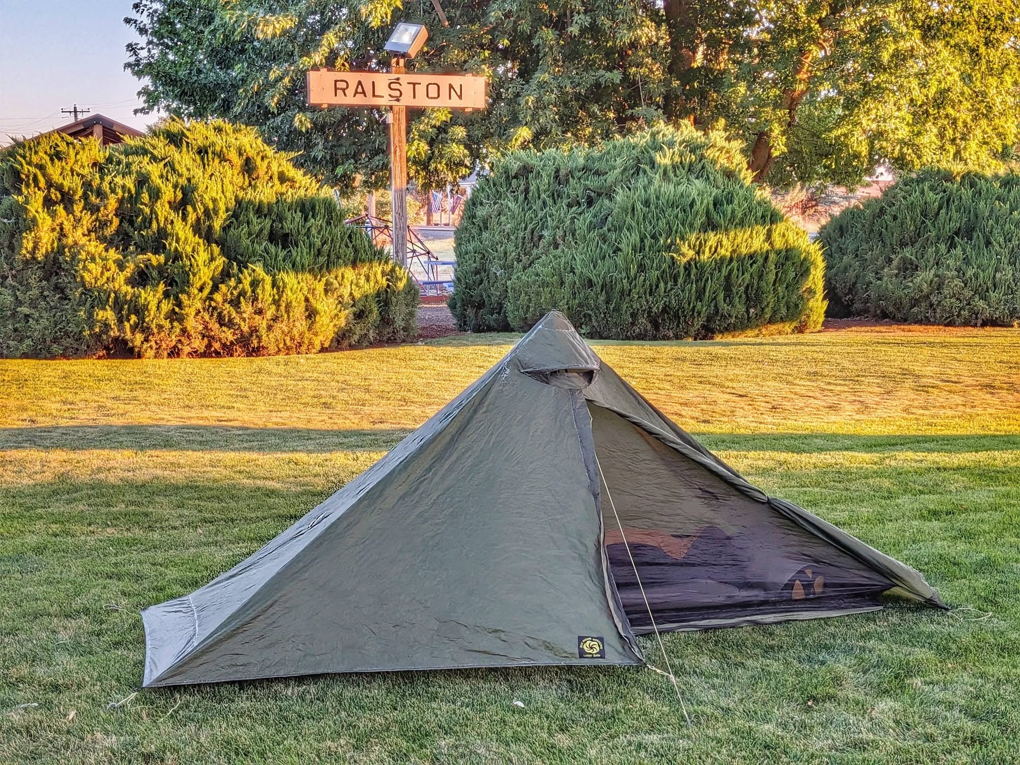
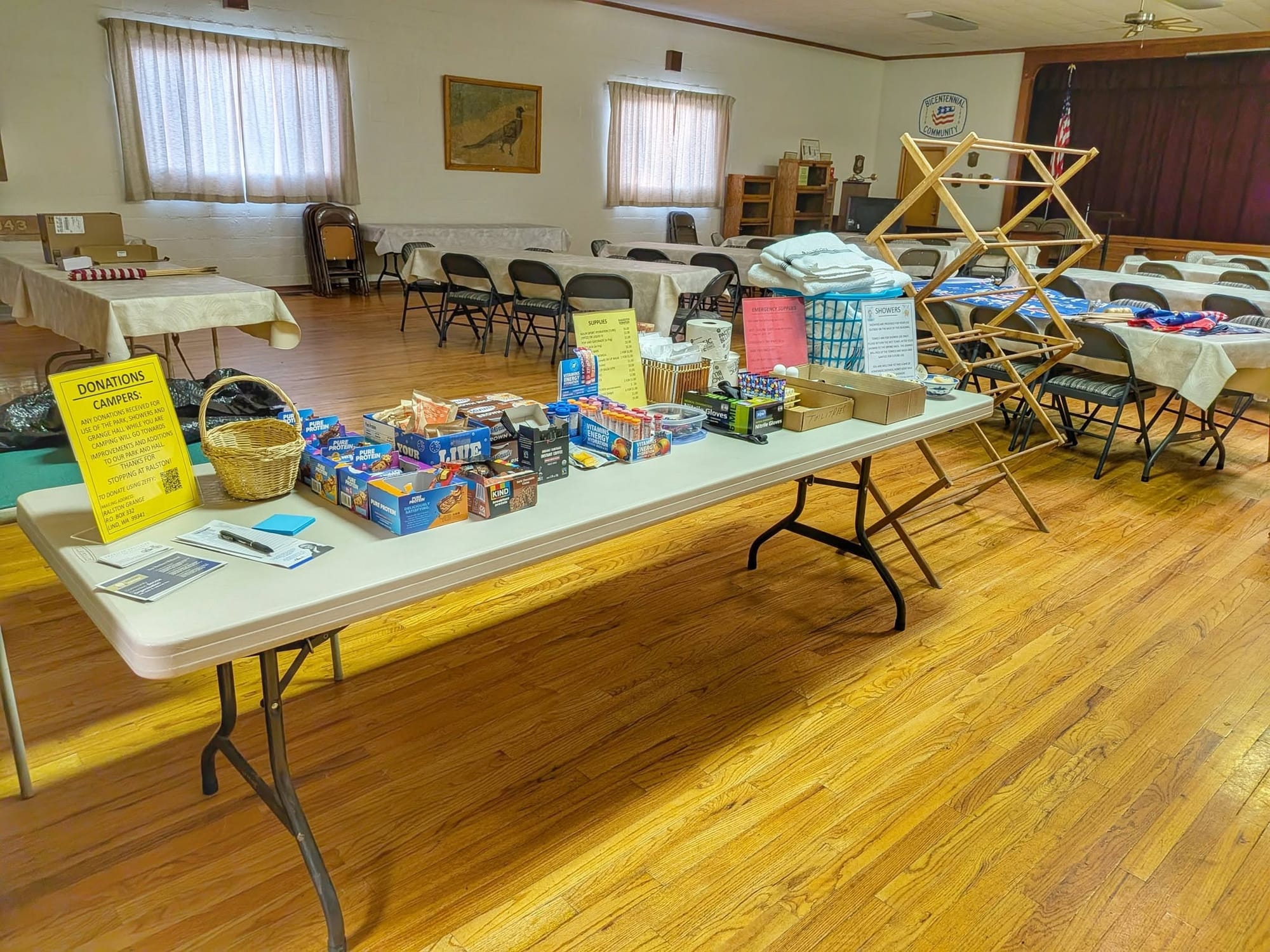
- Ralston's Memorial Park is run by the local Grange and has water, power, WiFi, and permission to camp. About 65 travelers have come through this year.
- The Yakima Training Center crossing is 22 miles of Army live-fire ground with no water, no intersecting roads, and a closed tunnel you climb over. Self-register at Doris or Renslow.
- The Railroad Fire closed the Beverly segment of the Palouse to Cascades State Park Trail on July 23. Eastbound travelers have no second way across the Columbia here.
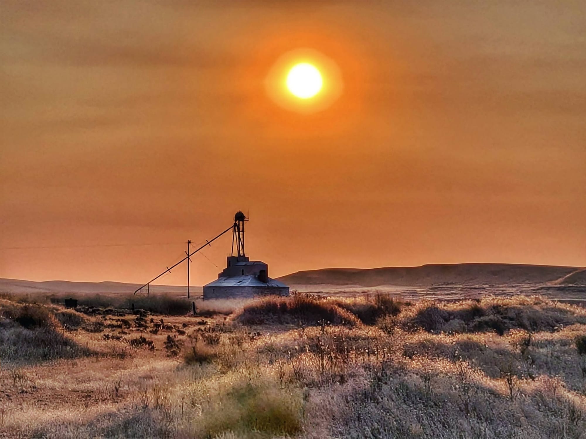
Orange sunrise over the Scablands
Smoke turned the Day 113 sunrise orange, and Bernie walked into the Channeled Scablands under a sky the color of Mars. Ice age floods scoured the topsoil off this ground and left channels in the basalt that farming never recovered from.
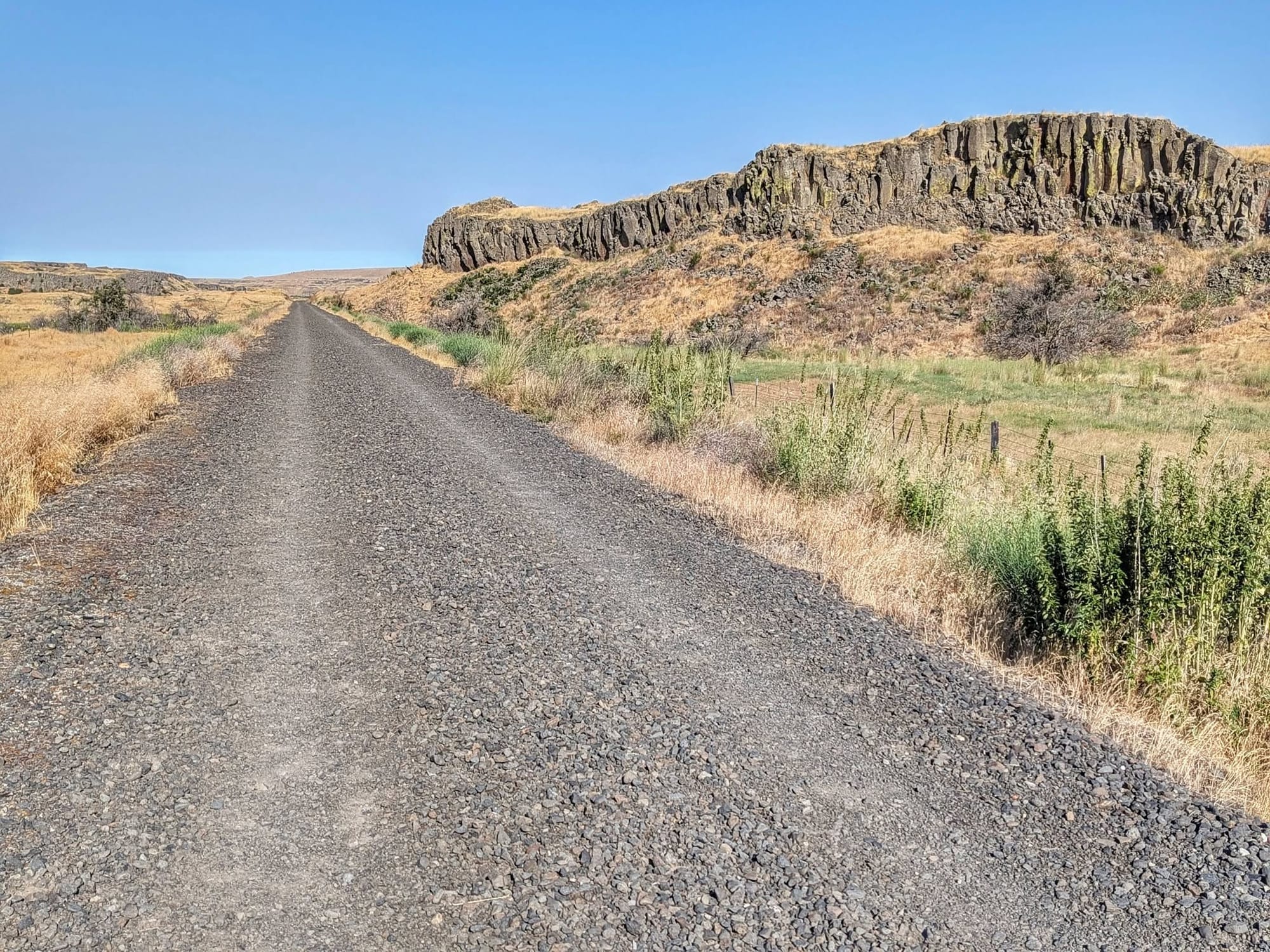
Water ran the day. He filled at the grain elevator in Ewan, then detoured around a stretch of privately held right-of-way, and picked the route back up on BLM land where flycatchers were working the air for breakfast. He has been flushing coyotes out of dens every day now. Mule deer have replaced the white-tailed deer he walked past for 3,000 miles.
Revere has an old restroom building attached to a grain elevator, and the spigot on it still runs. From there it is 40 miles to Lind with nothing confirmed in between, so he loaded 4 liters, 9 extra pounds, and started walking into 95 degrees with no intel on what was ahead.
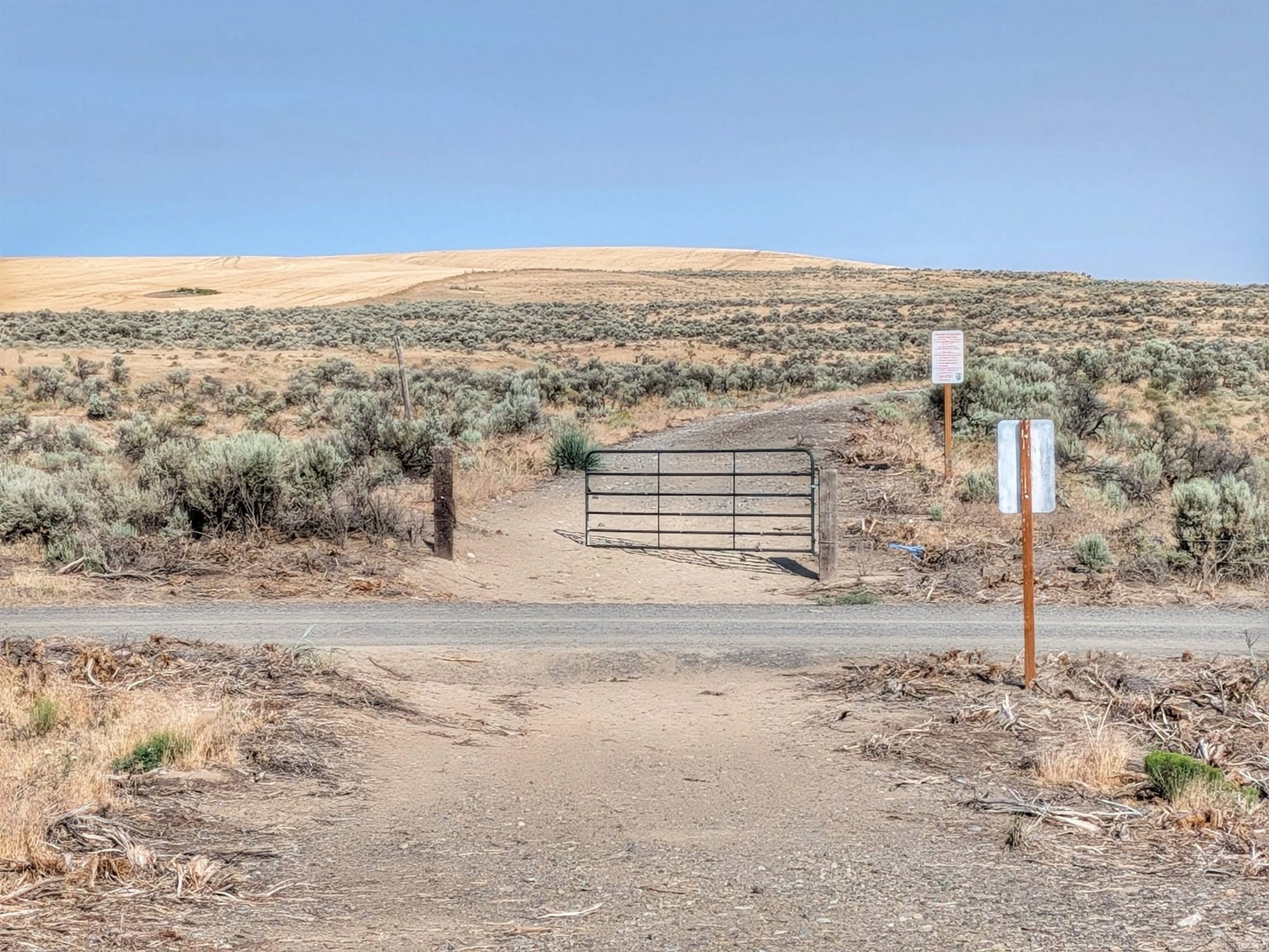
The trestle over Cow Creek is gone. The bypass drops down through a working cattle ranch, and partway through it he found a solar well feeding a stock trough, which settled the water question for the rest of the day.
He reached Ralston at 7:30 p.m. for a 37-mile day.
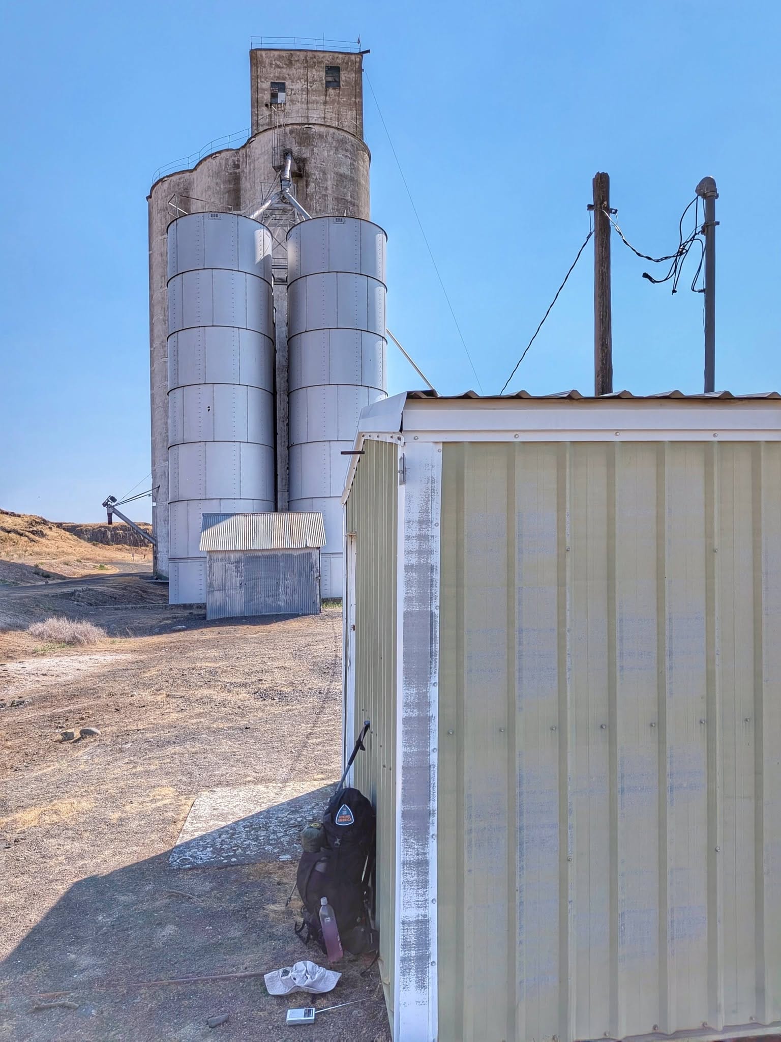
Ralston and Randy
Memorial Park in Ralston is maintained by the local Grange, which allows camping and keeps water, power, and WiFi available. Bernie cooked ramen in the Community Center kitchen across the street and drank a few cold ones.
Randy runs the park as a one-man welcome committee. He told Bernie that 65 people have come through his stretch of the Scablands this year, and that July and August are usually empty because people think it is too hot out here to walk.
Fifteen miles to a ghost town
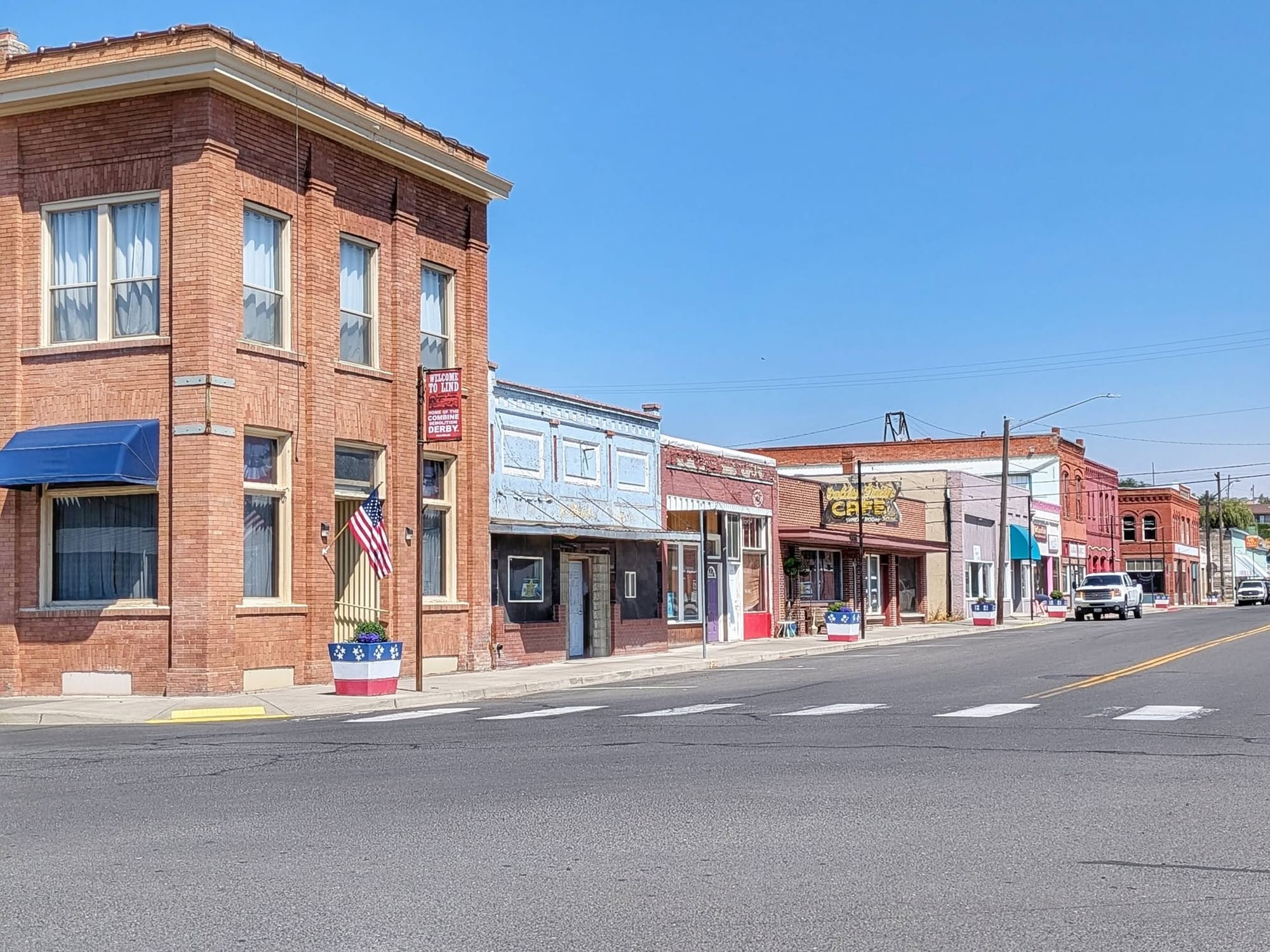
Lind sits 15 miles west of Ralston behind a large wind array. Jim's Market is the only business still open. Cyclists sleep in the city park, and the owner of the closed cafe is the town's trail angel.
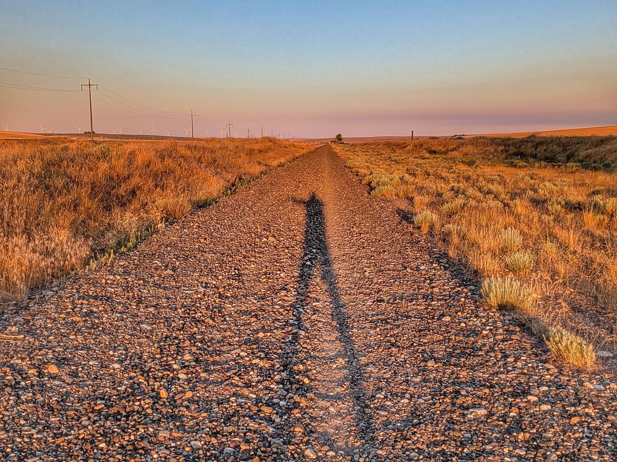
Bernie charged his phone, filled his bottles, and walked out toward Warden through empty valleys at 95 degrees. He drank less than he expected to, and the air was cleaner than he expected too. Thirty-five miles.
The rails run out at Warden
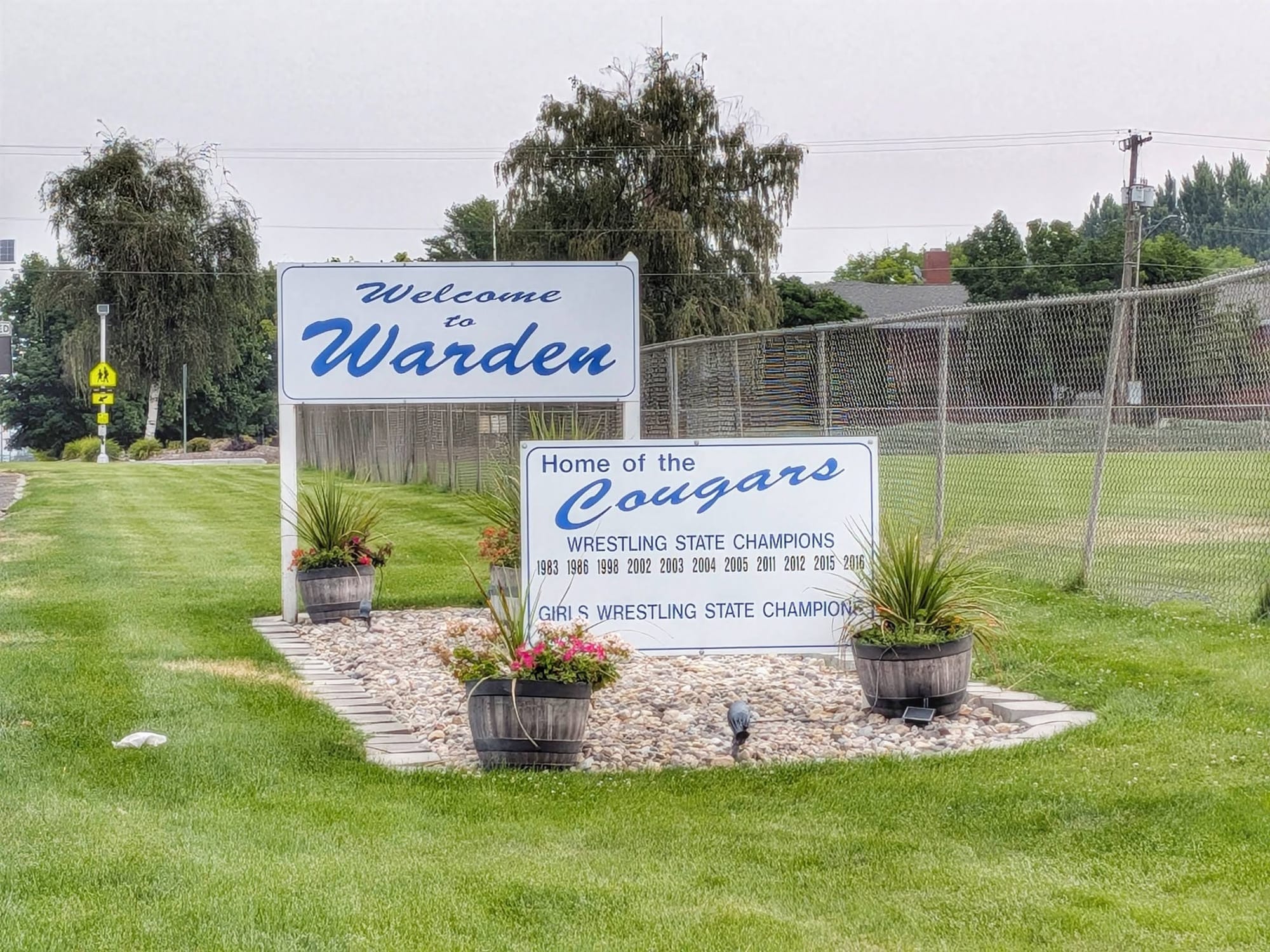
Warden is the end of the track. East of Royal City Junction, the corridor still carries active rail for 39 miles, so travelers detour onto light-traffic county roads. Bernie hit the end of his line at the Warden grocery store, where the cashier and the manager let him fill his bottles and handed him a muffin she had made herself.
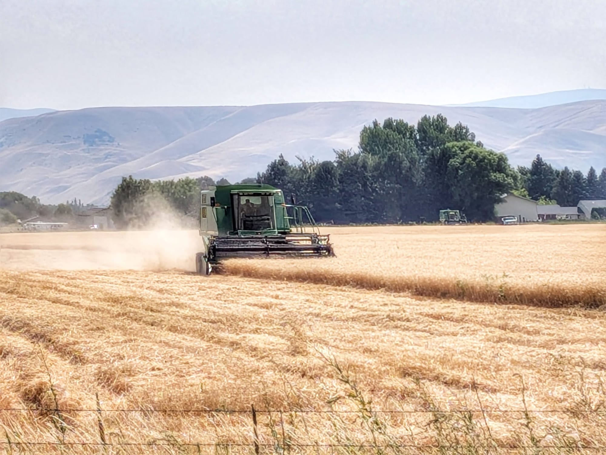
The wheat harvest was underway. He passed his first potato fields of the entire hike. Smoke sat heavy over the road because the Royal Lake Fire was burning close by, a July 16 lightning start north of State Route 26 and west of Othello that ran through about 2,000 acres of mostly public land before crews shut it down.
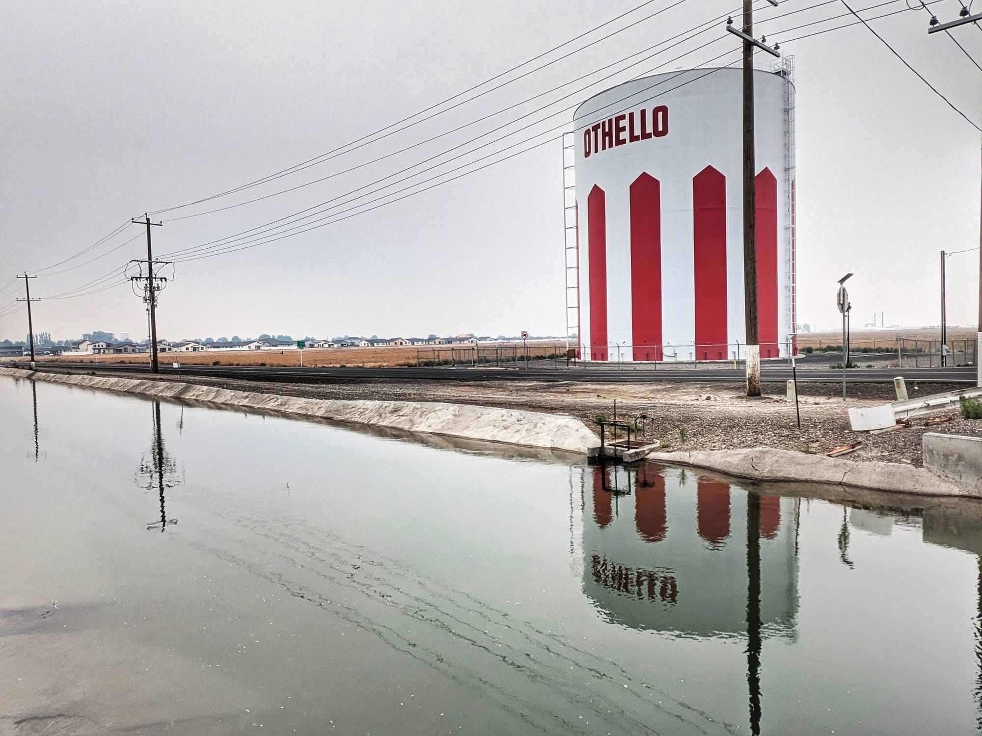
Seventeen miles of road walking brought him into Othello. He resupplied at Walmart with 75 miles of food to carry him to Ellensburg, then stopped at 20 miles and checked into a hotel. From the Walmart he counted 360 miles left to the Pacific and figured 12 days. "Where has the time and distance gone?"
Forty miles to water
He woke on Day 117 wanting to move and left at 5:30 a.m. Forty miles to the next known water at Beverly. Four liters on his back. A forecast calling for the hottest day of the year at 100 degrees, with haze.
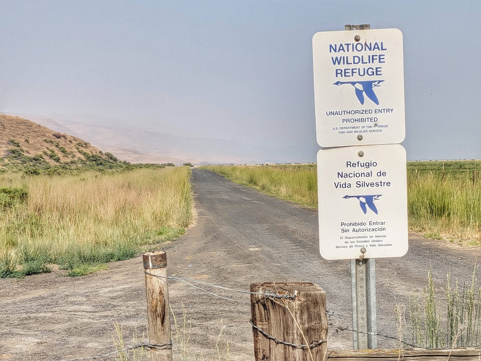
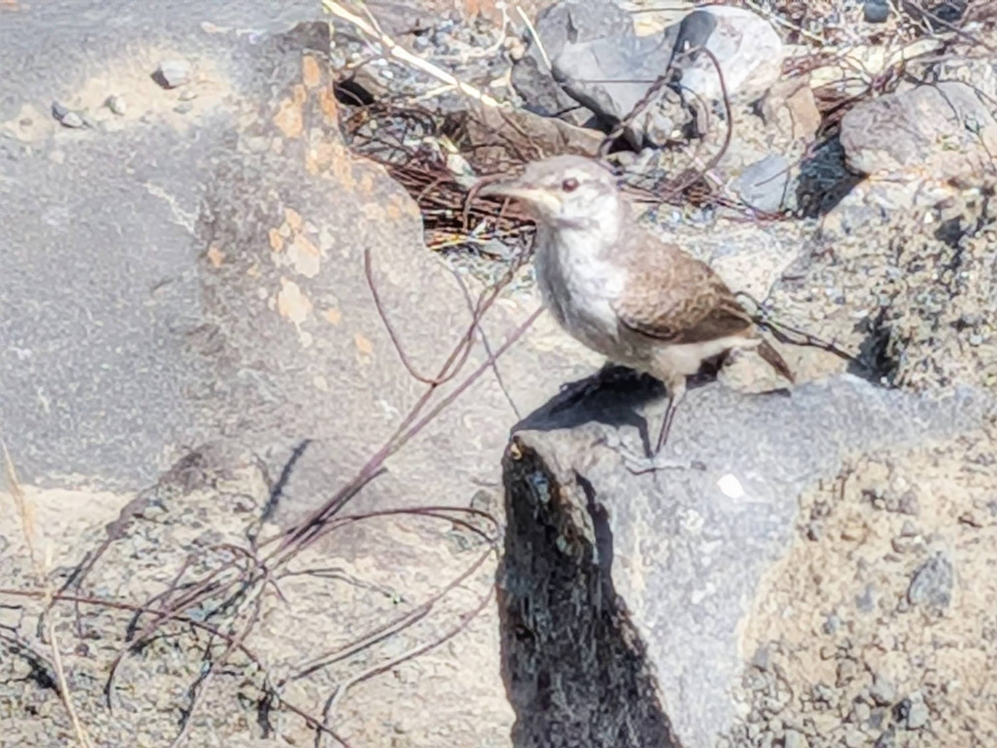
The first 22 miles were road, past the Columbia National Wildlife Refuge and into the Lower Crab Creek Wildlife Area, where two wrens got curious enough to come within a few feet of him.
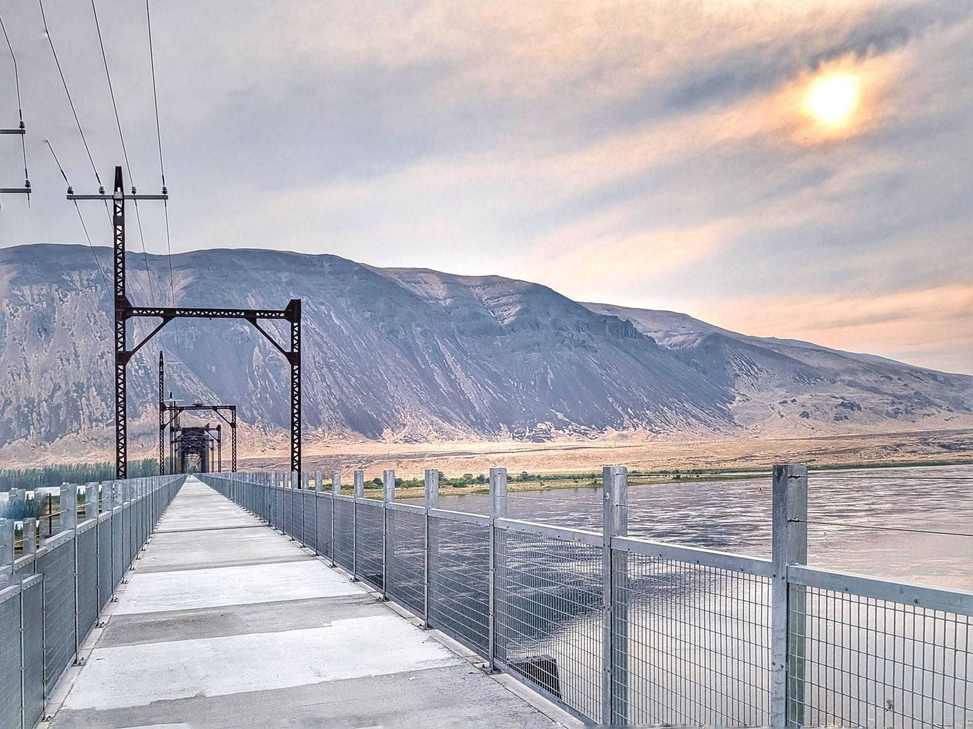
In Beverly, a man coming home from work let him refill all four bottles. Then he crossed the Columbia on the Beverly Bridge, 3,036 feet of rebuilt railroad trestle that reopened to hikers, cyclists, and riders in April 2022 after a $5.5 million renovation. It is the only pedestrian crossing of the river on the route, and opening it joined the eastern and western halves of the Palouse to Cascades State Park Trail after decades apart. Bernie used to live upriver from here, in Winthrop in the Methow Valley.
Lightning started up in the evening. Then the wind came, gusting to 50 miles per hour. He packed his gear and walked on into the dark until he found ground out of it.
What happened at Beverly
At about 11 p.m. that same night, the Railroad Fire started. Officials placed the origin near the Beverly Bridge. Luckily, Bernie was already across the river and walking west.
The Grant County Sheriff's Office ordered Level 3 evacuations overnight for all of Beverly, all of Schwana, and homes along Lower Crab Creek Road, roughly 280 households. State Route 243 closed. Wahluke High School in Mattawa opened as a shelter. Seven homes were destroyed.
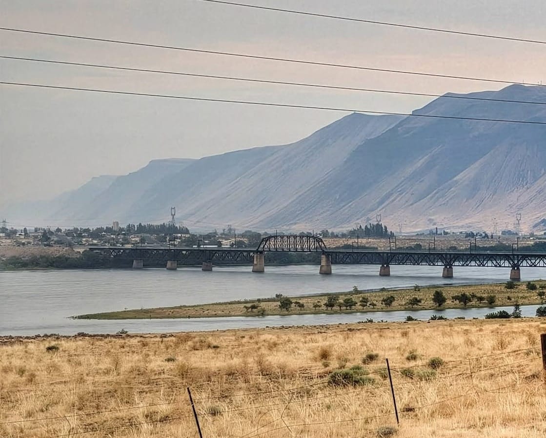
The fire ran along Saddle Mountain and Lower Crab Creek, over the same corridor Bernie had walked in on that afternoon. By Saturday, July 25, incident reports put it above 5,400 acres with no containment.
The Beverly segment of the Palouse to Cascades State Park Trail is closed. So are the Beverly Sand Dunes Recreation Area, Crab Creek Park, Burkett Lake, and the Wanapum Visitor Center. Anyone routing through that section right now should check with the Grant County Sheriff's Office and Washington State Parks first.
The 22 miles ahead of him
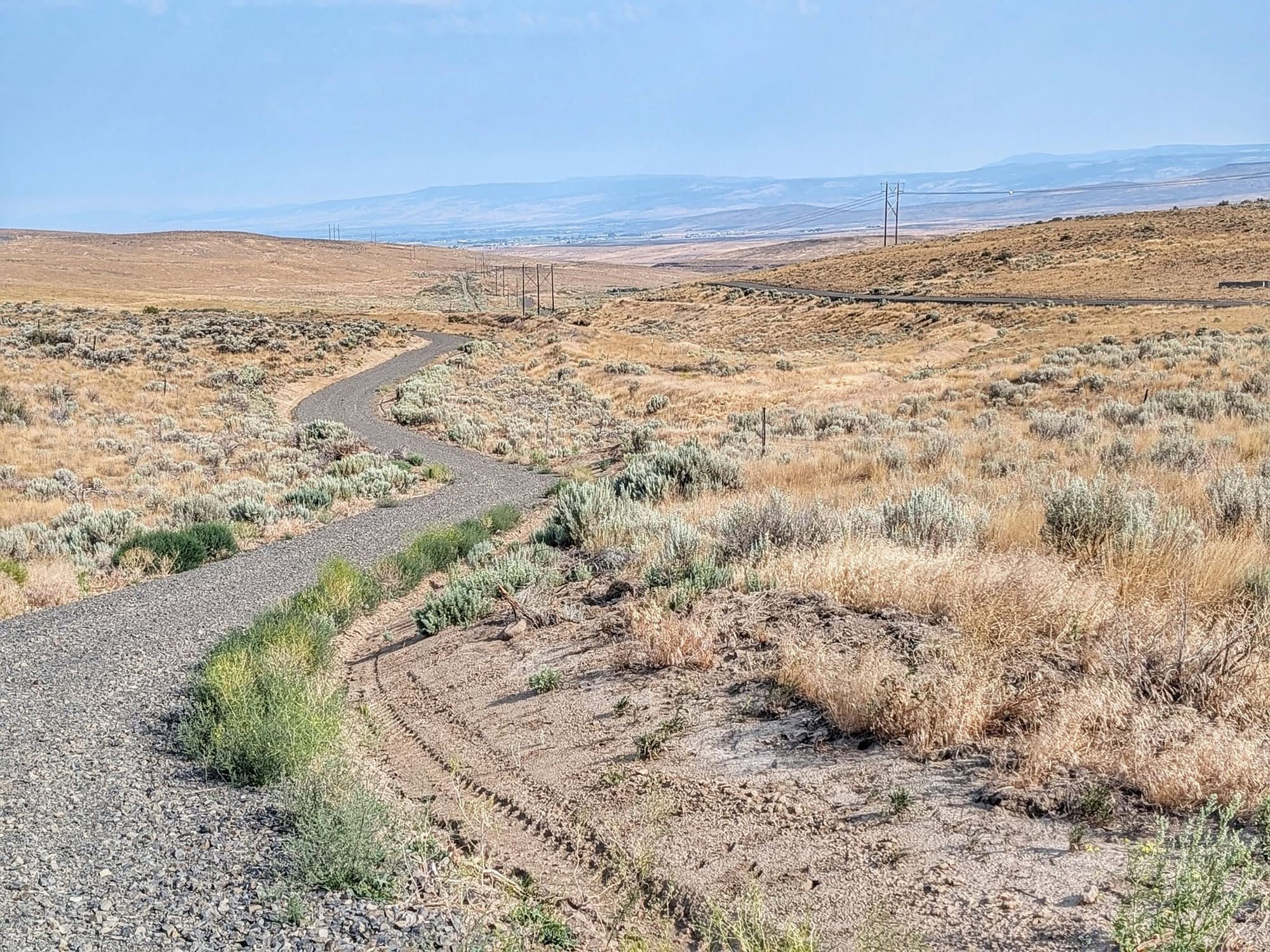
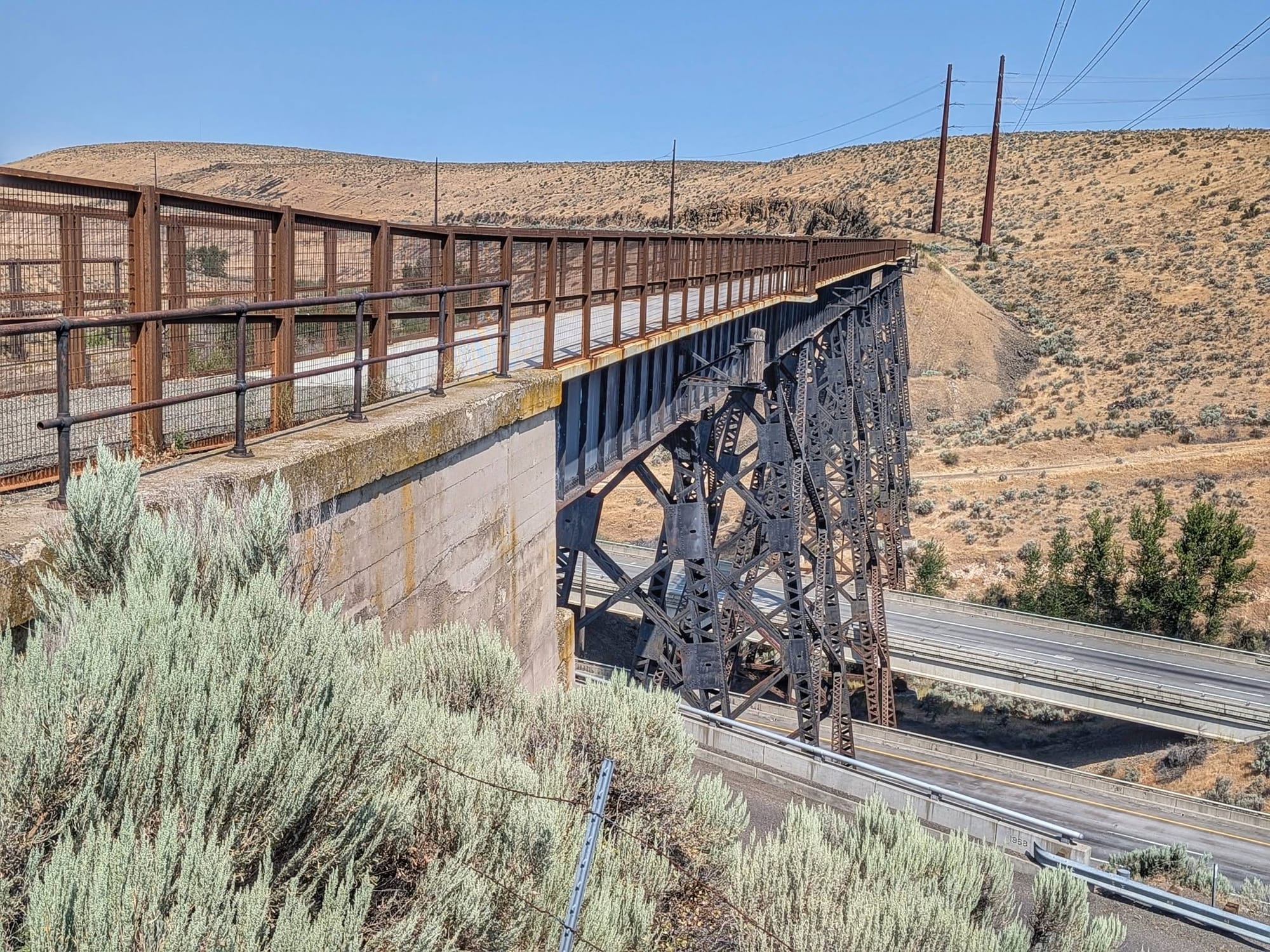
West of the Beverly Bridge, the trail climbs into the U.S. Army's Yakima Training Center, 22 miles of live-fire training ground between the river and the Renslow Trestle over I-90. Travelers self-register at the Doris trailhead on the east end or Renslow on the west. There is no water out there, no intersecting road, and the surface turns to soft sand in stretches. The Boylston Tunnel is closed on safety grounds, so the route goes up and over the top of it on rough rock.
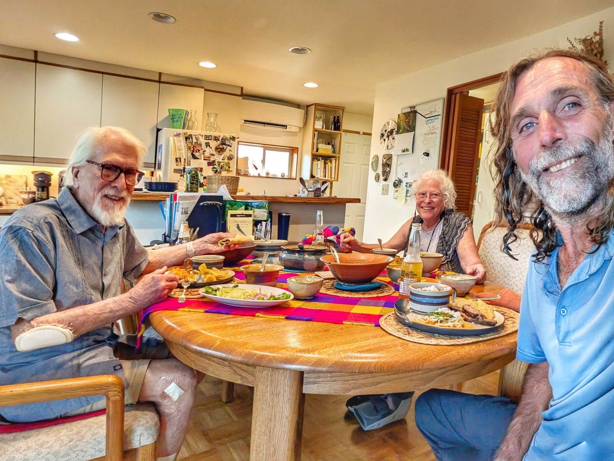
Then Kittitas, and Ellensburg, where he was hosted by Facebook friends Bill and Jenny.
Next the Cascades.
Filmed at the reflecting pool in March
The Great American Rail-Trail Instagram account featured Bernie this week, using an interview shot in Washington, D.C. on March 27, the day before he started walking. Watch the interview
Planning this corridor right now
- Registration: the east section of the Palouse to Cascades State Park Trail, Warden to the Idaho border, requires pre-registration with Washington State Parks. The Yakima Training Center crossing west of the Columbia needs a separate self-registration at the trailhead.
- Water: Ewan grain elevator, Revere restroom spigot, the solar stock trough on the Cow Creek ranch bypass, Ralston park, Lind, Warden grocery, Beverly. Plan on 20 to 40 mile carries between them in July heat.
- Poison ivy grows right alongside the gravel path near Revere, which is not what most people expect in shrub-steppe.
- Closures: Beverly segment closed for the Railroad Fire. Boylston Tunnel closed year-round. Royal City Junction to Warden has active rail and needs the road detour.
- Cow Creek Crossing closes to the public November 1 and reopens March 1.
The Tracks
Hiking America's GPS tracks for the Great American Rail-Trail are free, including all 80+ mapped gap routes, and they get updated as Bernie's field verification comes in.
The Data
Joining Hiking America adds the curated Gaia GPS waypoints: water sources and services close enough to the corridor to be worth the walk. Every spigot and stock trough in this week's dispatch gets verified and added as Bernie walks it.
Hike Your Hike - John. 🥾
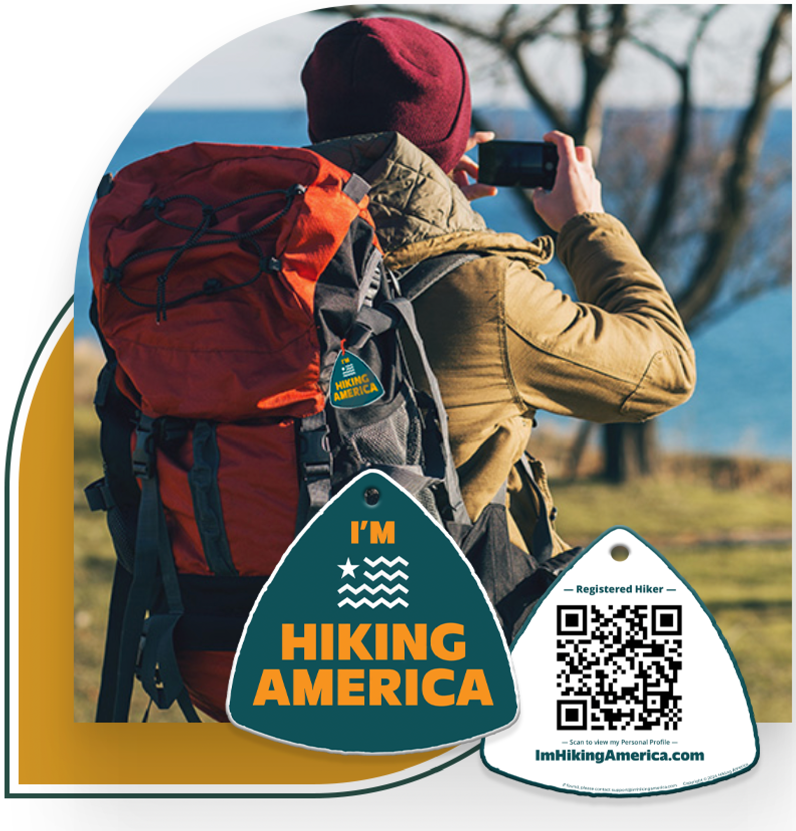
Hiking America's Hiker Hang Tag
Recognized by trail angels, hostels, and fellow hikers nationwide!
Get your Custom Hiking America Hiker Tag!
Only $19 for a Limited Time!
Always Free to Hiking America Members.