
352 New Colorado Trail Notes from the 2026 Season
Two hikers walking in opposite directions logged 352 dated notes across 437 miles of Colorado this summer. Here is what changed.

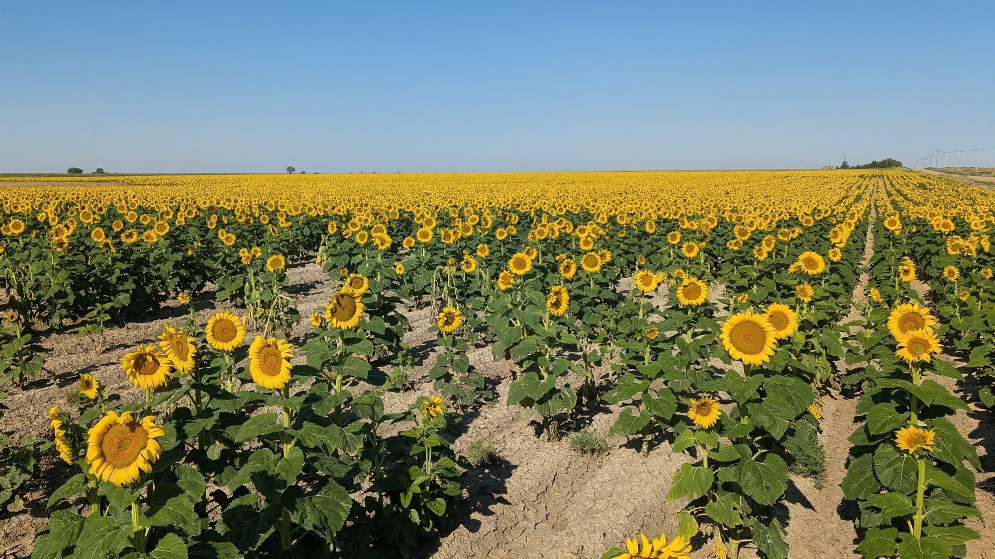
Rhiis and Sara crossed into Colorado at Holly on July 16 and had lunch with trail angels they first met back in McPherson, Kansas. Tyler Reiser had already come through the Sawatch, walking the other way, and spent the Fourth of July weekend in Leadville. Between them they added 352 dated field notes to two Colorado segments this summer, and all of it is in the guides and the Gaia GPS layers now.
295 of those notes landed on Colorado West Segment 4, the 217.3 miles between the Winfield mining site and Sheridan. The other 57 went onto Colorado South Segment 5, the 219.5 miles between the Kansas line and Cañon City.
Rhiis & Sara
Westbound - Southern Route
Began: February 21, 2025 - Cape Henlopen, DE
Paused: November 5, 2025 - Julesburg, CO
Restarted: March 10, 2026 - Illinois/Indiana Line - Southern Route
Support Links: ImHikingAmerica, TrailJournals, YouTube, Venmo
The Arkansas Valley in July
Colorado South Segment 5 is irrigation ditches and sugar beet towns with almost no shade, and the notes Rhiis and Sara filed between July 16 and July 31 show it. Shaded picnic tables. Benches under trees. Pavilions. Working water fountains. A park with 4 covered tables next to a sheriff's office. A school with dumpsters where an abandoned building keeps the sun off. Tyler passed through the same corridor going east and flagged a shaded bench with water spigots, plus a warning that the water in the roadside canals is not safe to drink even though it is sitting right there.
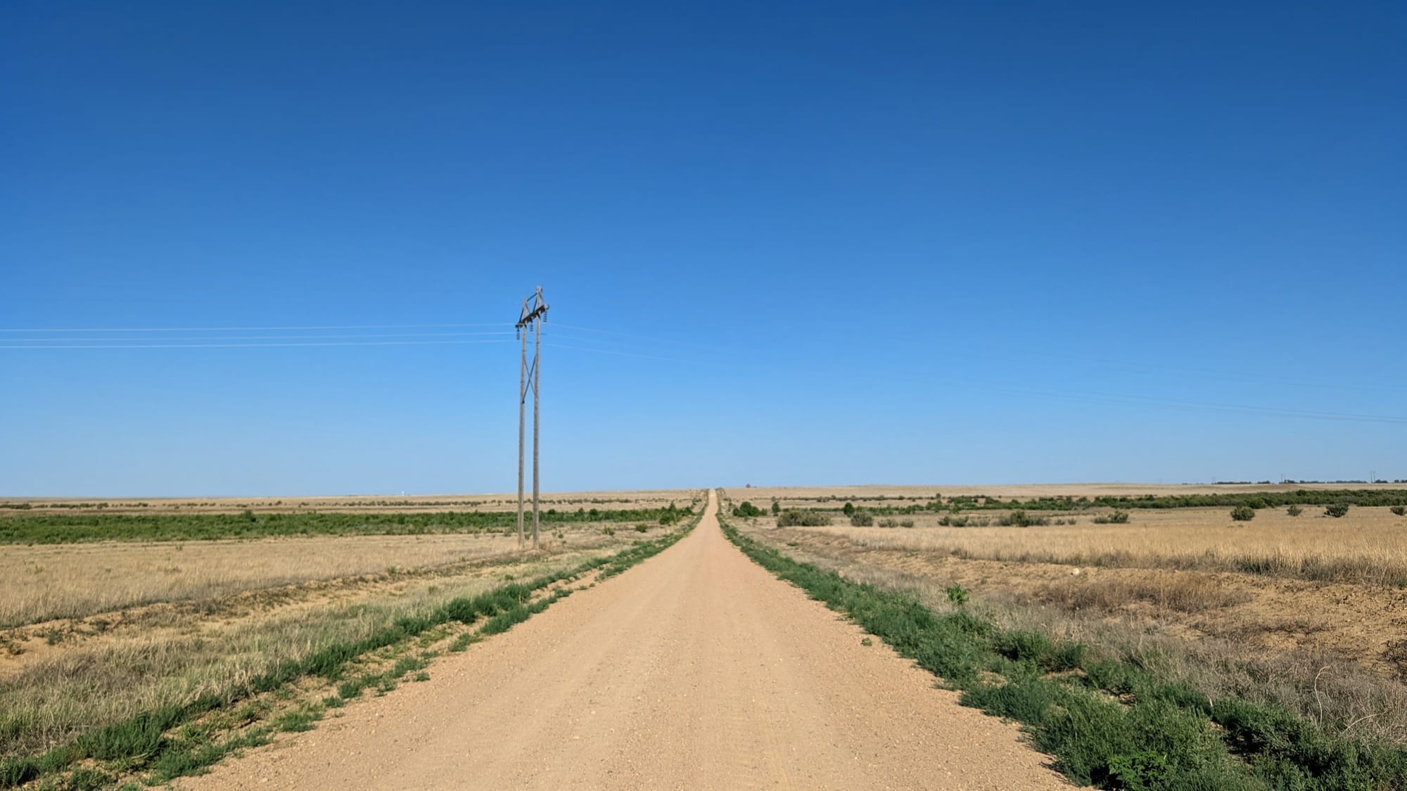
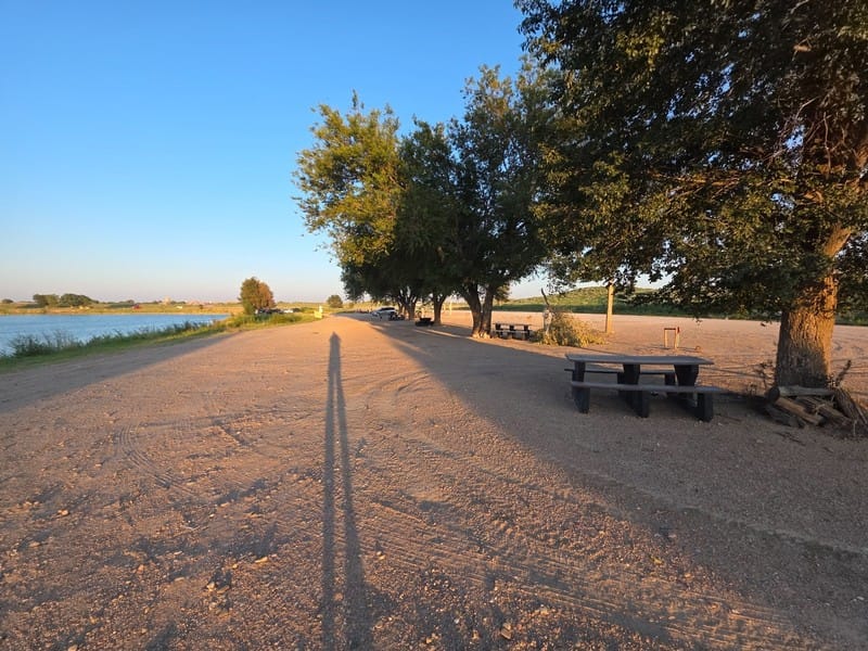
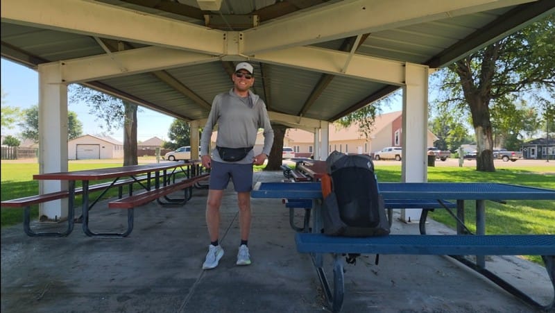
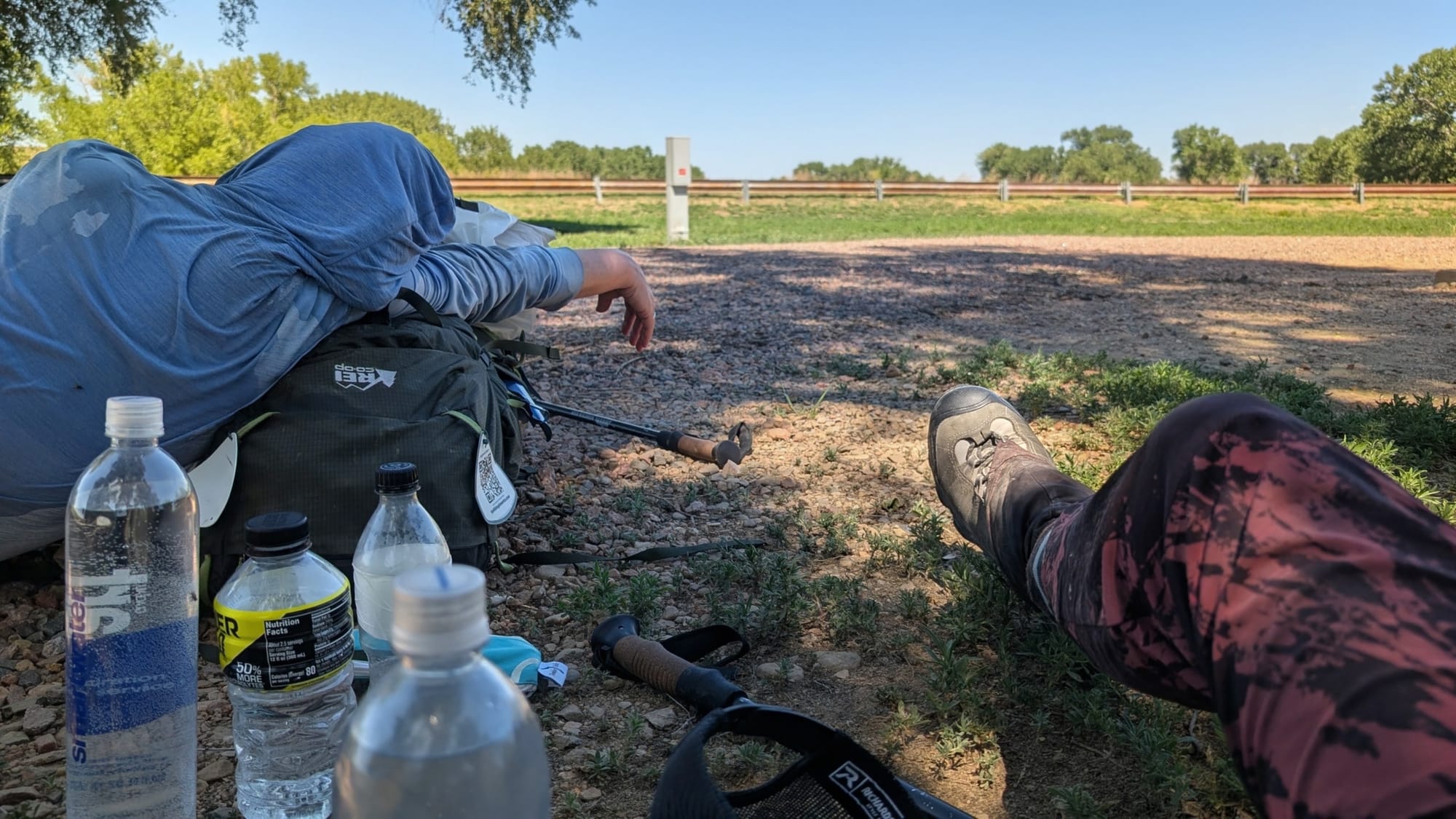
A long, hot southern Colorado road. Photo by Rhiis Lopez. Soaking up what little shade you can find. Photos: Tyler Reiser
A Legion post in one town connected them with a commander and a local family who put them up for a night north of the Arkansas River. Another Legion post let them camp on the property under the trees and was installing a swamp cooler when they showed up, so they slept inside instead. A United Methodist church east of Pueblo allows hikers to camp on the grounds. A Warmshowers host near Pueblo gave them a down day. Someone drove them to a seasonal produce stand, and they came away with a watermelon, a cantaloupe, peaches, and sweet corn.
They also priced every motel they passed and confirmed general delivery terms at 14 post offices across the two segments, including hold periods and which ones refuse UPS and FedEx. That sits in the segment guides rather than here.
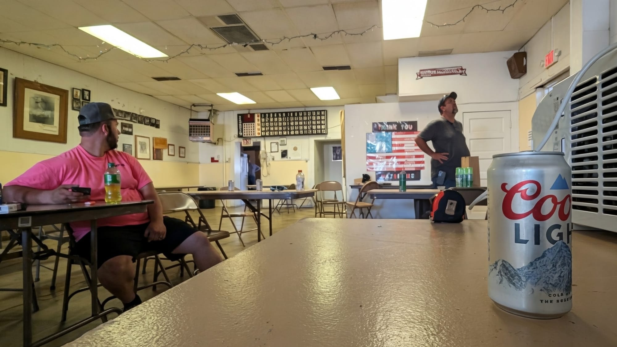

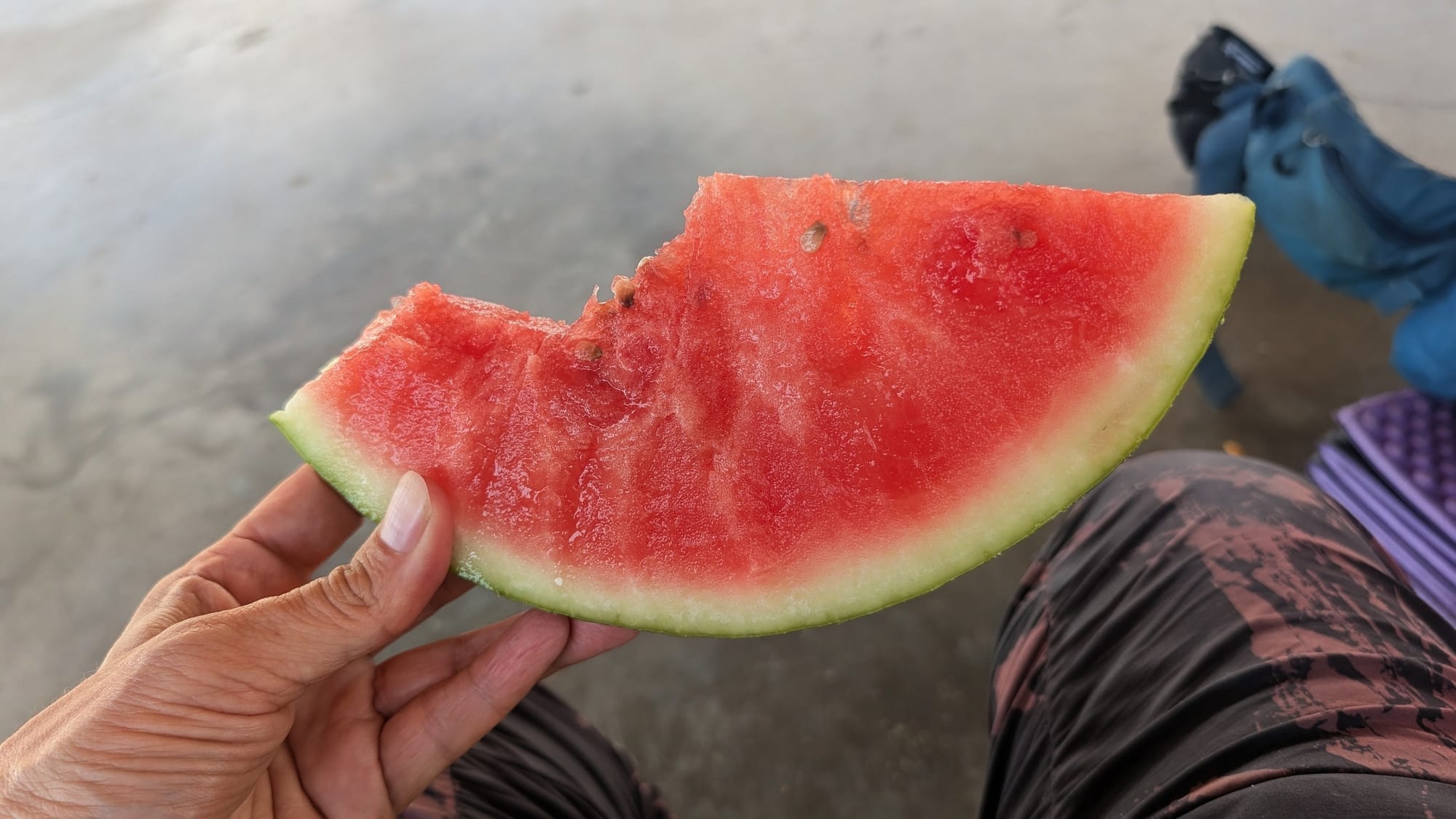
Chilling inside an American Legion, and watermelon cooling the inside of a hiker. Photos: Rhiis Lopez
Why they jumped to Denver
Rather than keep pushing west through southern Colorado in the late-July heat, Rhiis and Sara flipped to Denver and started the western half of the state instead. Their last Segment 5 note is dated July 31 near Vineland. Their first Segment 4 note is dated August 1 at the Bear Creek end in Sheridan.
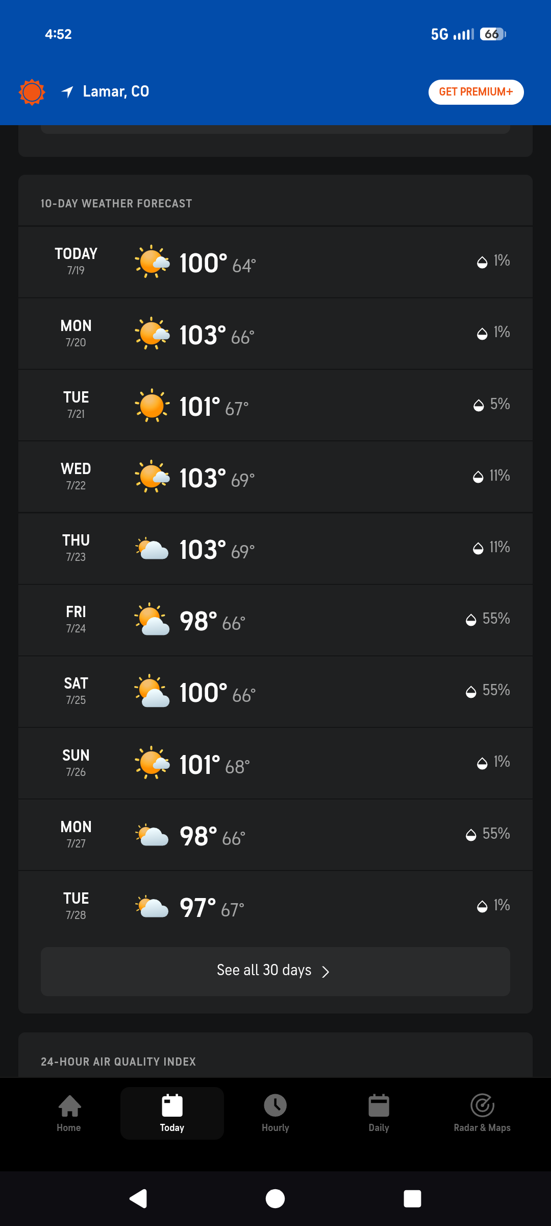
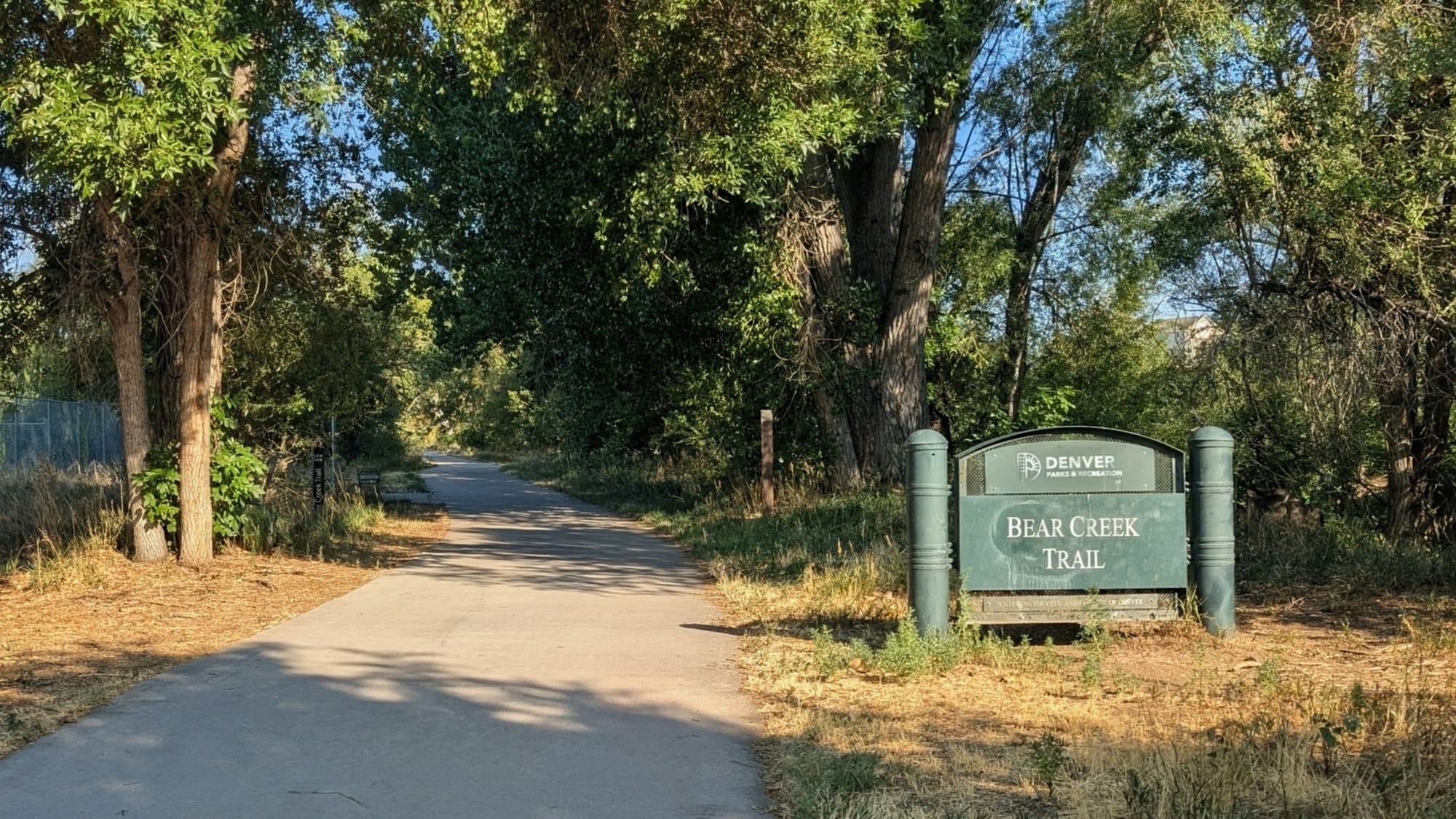
Out of the heat...and into the shade.😎 Photos by Rhiis Lopez
Segment 4 in August gave them 3 weeks of high country and 295 notes.
Segment 4
105 of those notes are campsites. Rhiis and Sara logged fire rings, tent capacity, ground conditions, and whether a site sits close enough to a road to hear traffic. Above Montezuma, they counted numbered dispersed sites one by one. Elsewhere, they recorded a wide, flat area encircled by logs, with no fire ring, that still reads as an obvious campsite; a hollow under a juniper big enough for a 3-person tent; and the concrete bunkers at Camp Hale, where the interior would work as shelter in bad weather.
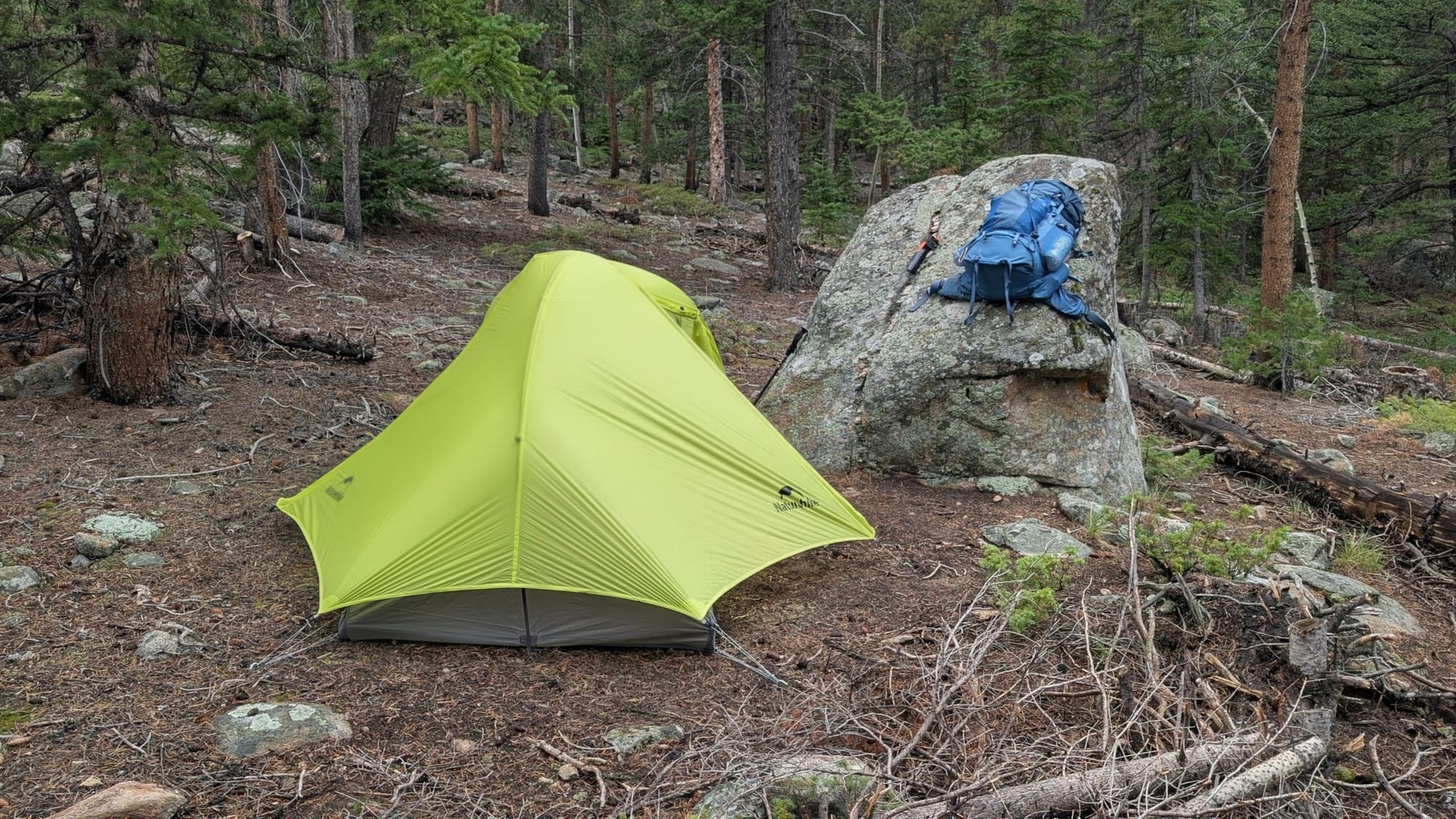
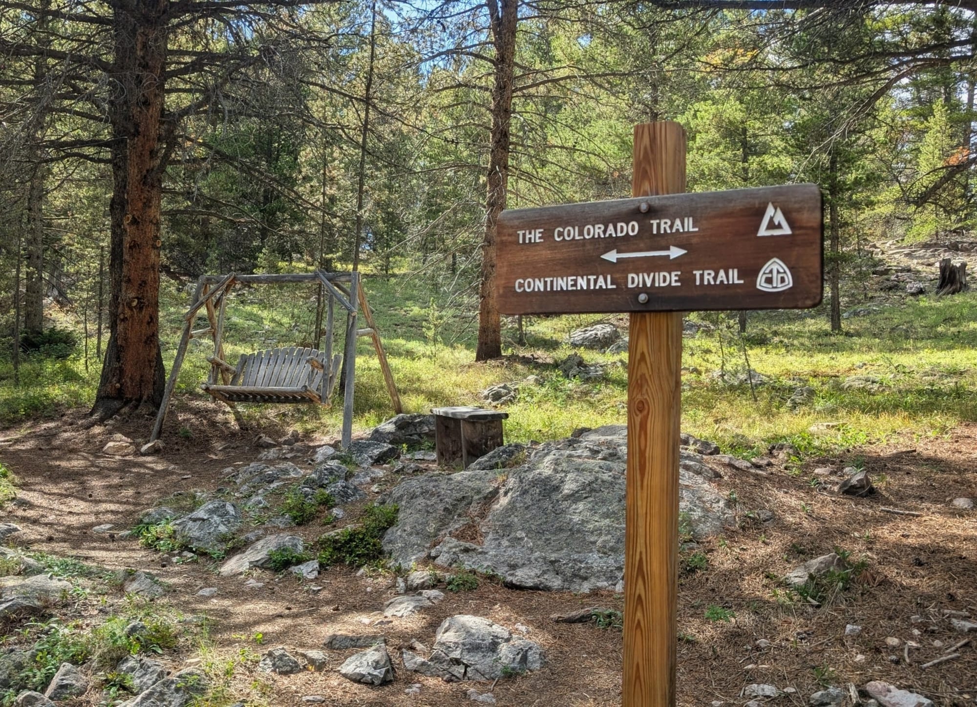
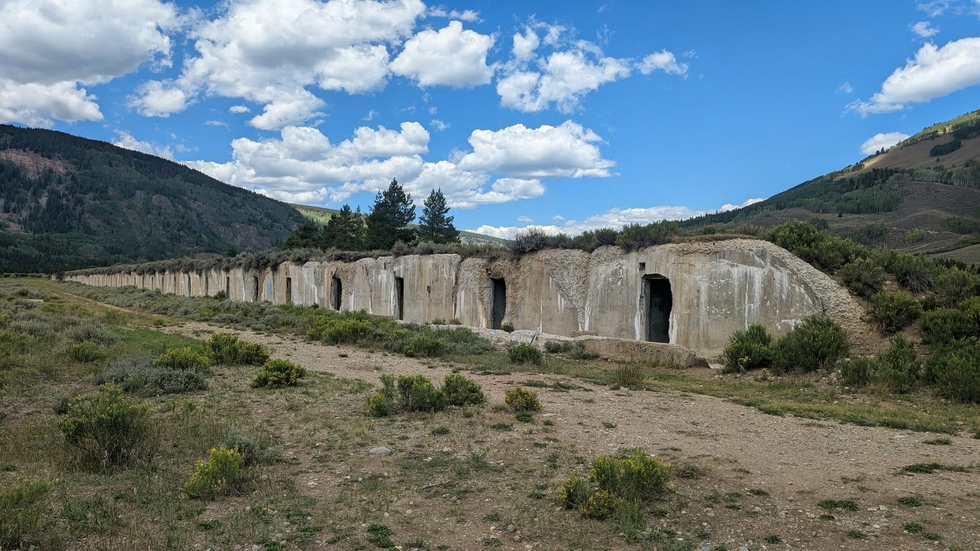
Photos by Rhiis Lopez
85 notes cover water. Peru Creek is confirmed again as visibly contaminated by mine drainage, in two separate places, with discoloration in the rocks. A stream farther on gets the opposite verdict: it comes off a pond source with no mine above it and no staining, so it is probably safe to filter.
The two failed bridges on the Bear Creek Trail are still closed. Rhiis confirmed that the signed detour was still in place on August 1, 2026, which was 11 months after the inspections that closed it.
And one entry, at mile 45.6 on the climb out of Idaho Springs, reads in full: "This hill is kicking my ass."
Point-to-point mode in the Elevation Gain Calculator will read the gain for any single day you're sketching out.
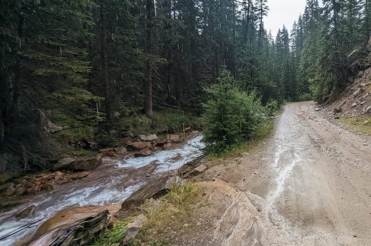
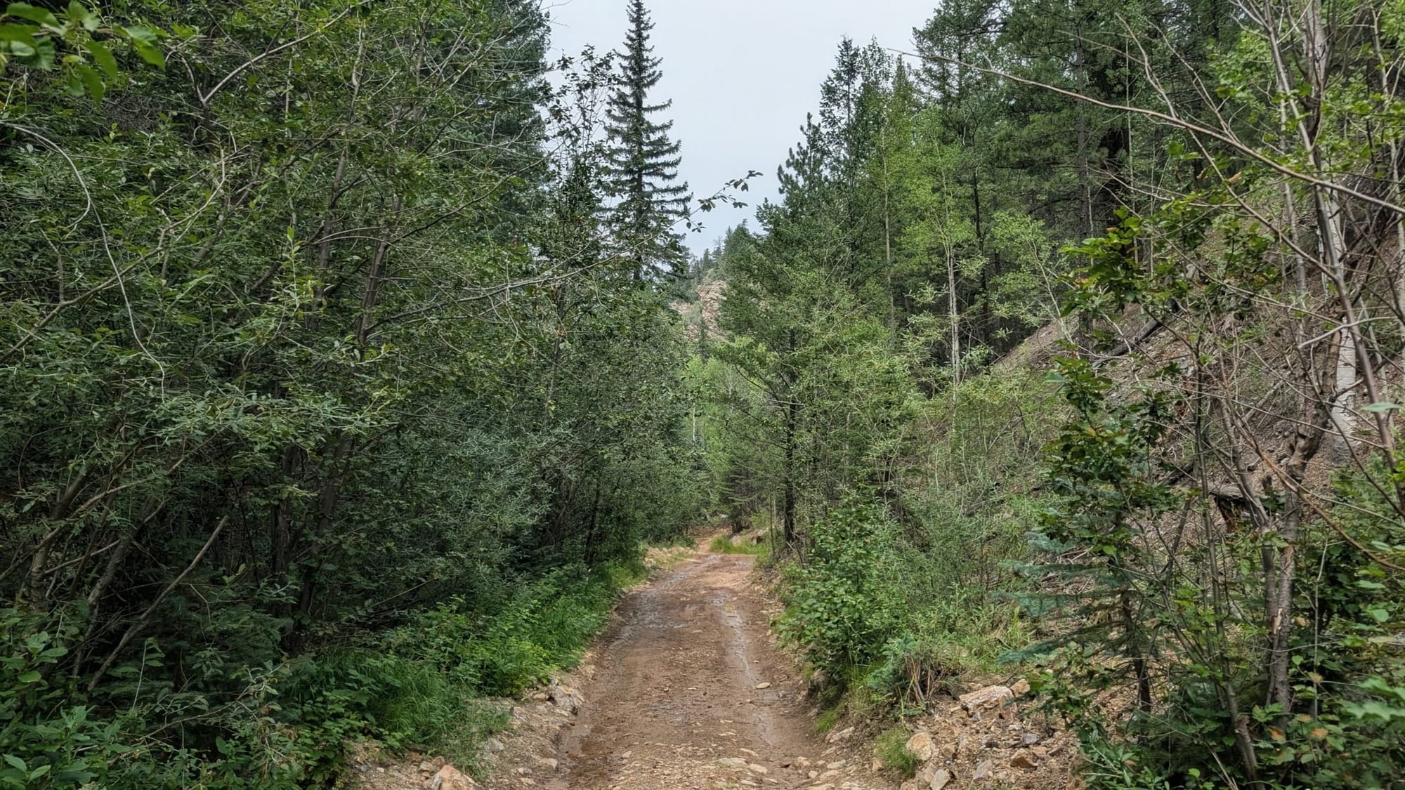
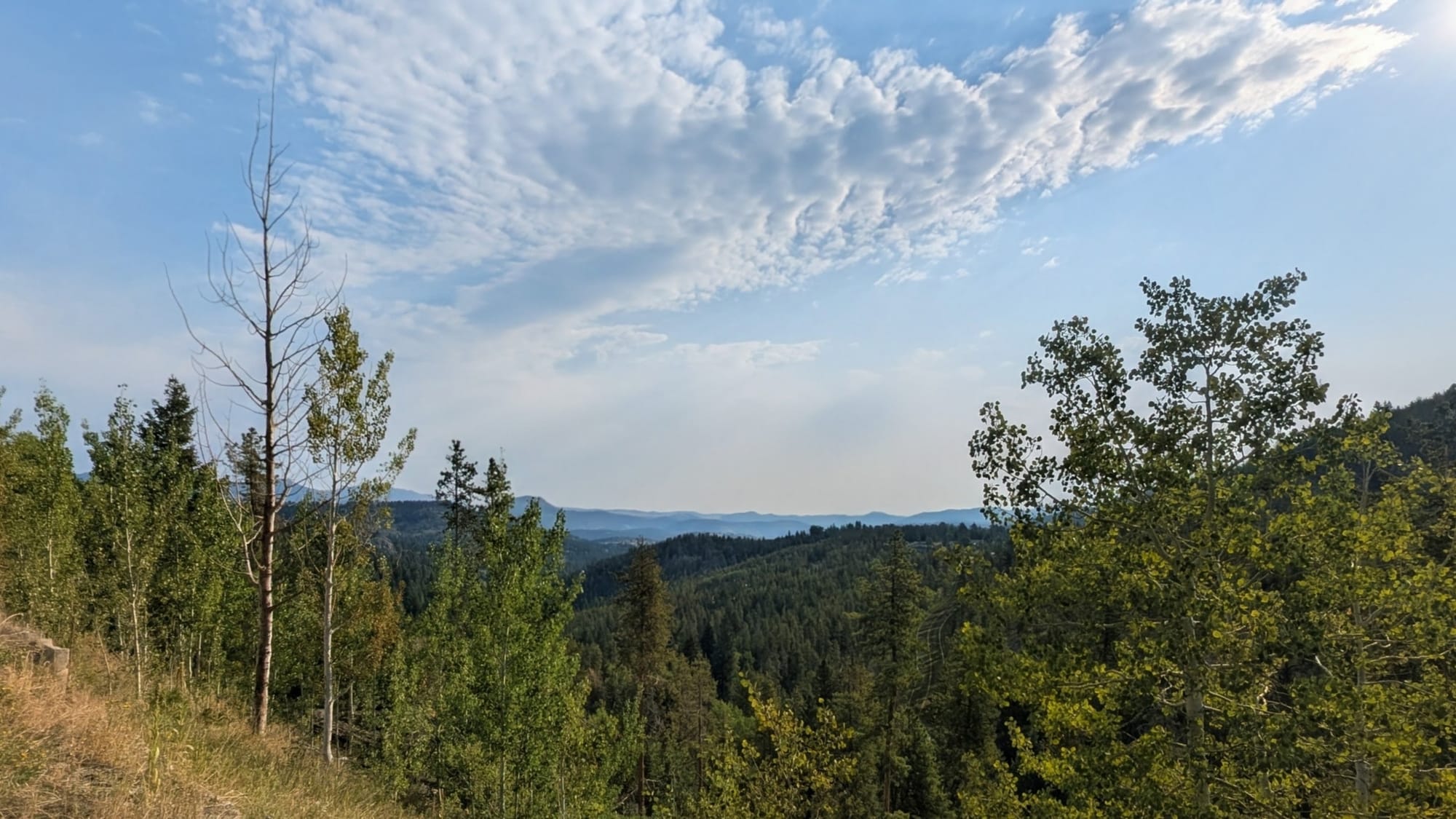
Contaminated Peru Creek, along the ass kicking hill, and the rewarded view near the top. Photos Rhiis Lopez
The Willow Fire detour
The Willow Fire started June 28, 2026, about 6 miles west of Leadville in the Twin Mounds area below Mount Massive. The cause was human. By mid-August, it had burned 7,534 acres.
The closure order took out the Colorado Trail between Twin Lakes and Tennessee Pass, along with the Mount Massive Wilderness, the North Mount Elbert trail, the Halfmoon campgrounds, Turquoise Lake, and Hagerman Pass. The ADT uses that corridor. North of Twin Lakes, the route runs the Continental Divide Trail and the Colorado Trail under Mount Elbert into Leadville, then continues north through San Isabel National Forest toward Camp Hale.
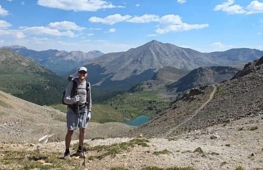
Tyler 'Iceman' Reiser
Westbound - Western Route
Began: April 16, 2026 - Moab, Utah
Support Links: Trail Journals
Both hikers got detoured. Tyler hit Leadville the first week of July with the fire less than 10 days old and the closure at its largest. Rhiis and Sara arrived on August 18, after the Forest Service reduced the closure area on July 30, and were still routed around it. The city of Leadville and Twin Lakes village stayed open the whole time, so resupply held; the trail did not.
On August 20, two days after Rhiis and Sara came through, the Forest Service cut the closure back to Mount Massive's east slope and reopened the Colorado Trail under Mount Elbert, the North Mount Elbert trail, and Halfmoon Road. A new order, 02-12-01-26-39, keeps that smaller area closed from October 1 through December 31, 2026: the Mount Massive Wilderness and the Colorado Trail between Halfmoon Road and Hagerman Pass Road. The American Discovery Trail's Mount Elbert miles and its road walk into Leadville are outside it. Check the Leadville Ranger District alerts before you go; burn scars can shed rock and mud in heavy rain for years.
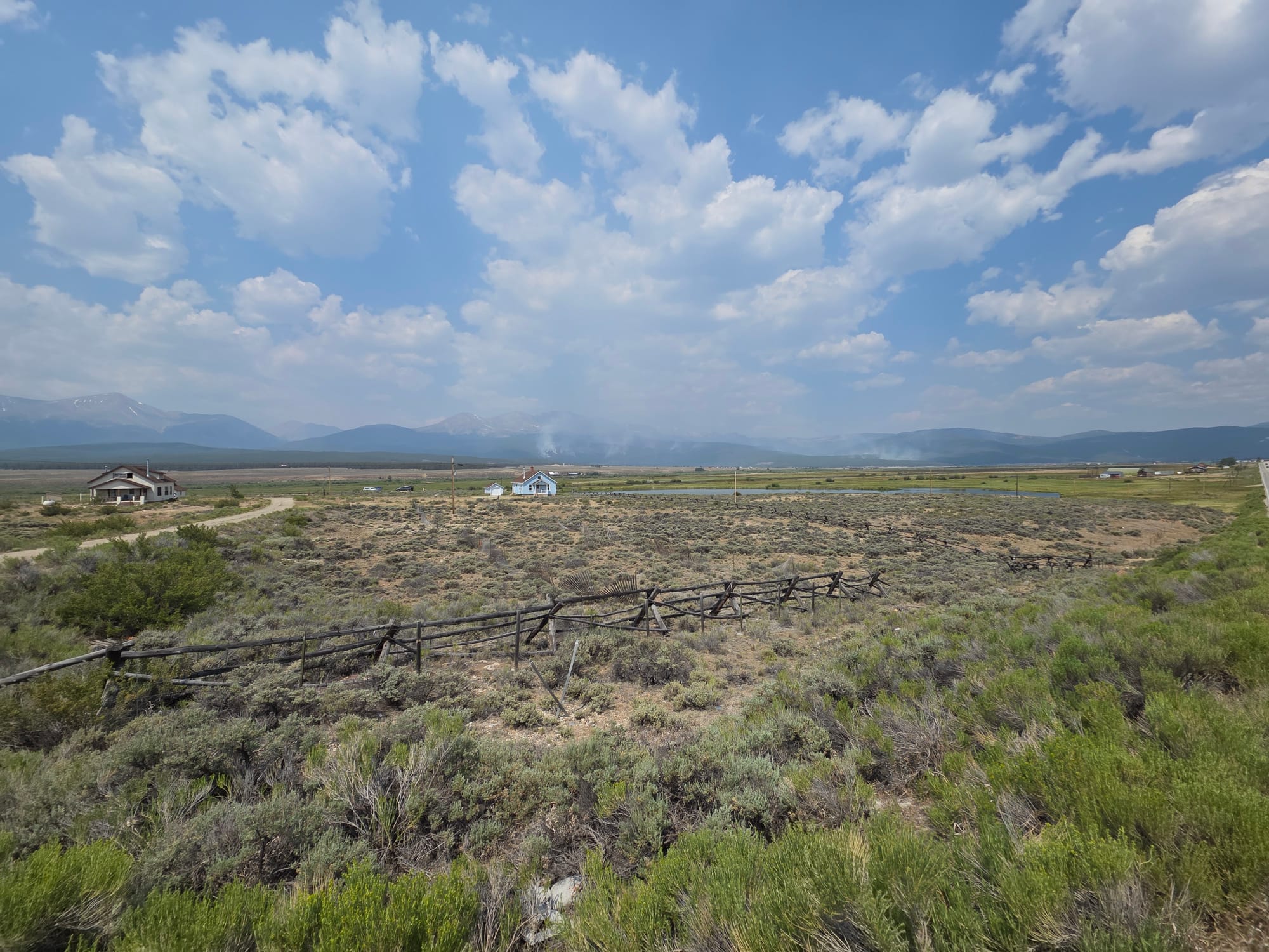
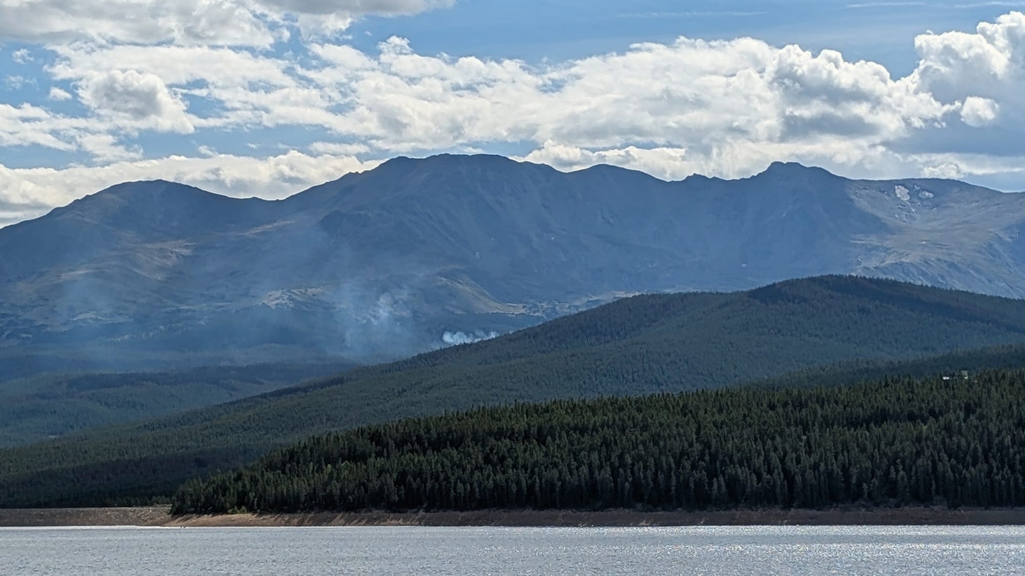
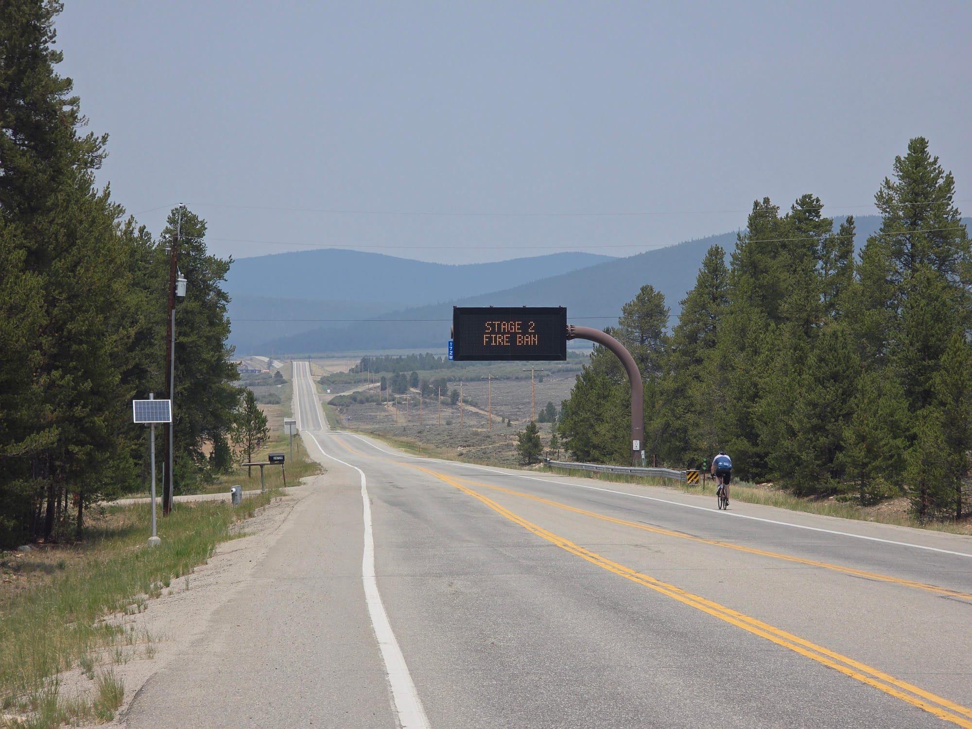
The Willow Fire shut down the ADT, CDT and Colorado Trail near Leadville, Colorado, in July. Still closed. Hikers and bikers are detouring on US 24. Photos: Tyler Reiser, Rhiis Lopez
A dry year
Rhiis put it plainly at a slow stream near Idaho Springs: "Moving very slowly right now but this is an unusually dry year." A few miles on, another source gets the same note with a snowpack caveat. Several creeks that Bernie found flowing in 2022 came back dry in 2026, and 8 water sources now carry an unreliable tag they did not have before.
Snowpack sets the water table on this crossing. A source that ran all August in 2022 can be a dry gully in 2026. Carry the extra liter.
What this changes
Every note here is dated, attributed, and in the turn-by-turn guides and the Gaia GPS waypoint layers for Colorado West Segment 4 and Colorado South Segment 5. Members have it now. Nothing needs to be re-downloaded if you are on the live Gaia layers.
Thank you to Rhiis & Sara, and Tyler Reiser.
Hike Your Hike - John. 🥾

