
Northern Colorado on the American Discovery Trail
Colorado · Northern Route
The northern route of the American Discovery Trail crosses Colorado in one 238.4-mile segment, between Sheridan on the south edge of Denver, where the northern and southern routes divide, and the Nebraska line at Julesburg. Sheridan sits at 5,279 feet and the state line at 3,452, and nothing in between stands above the river valley.
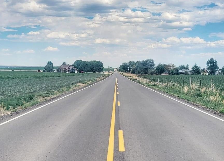
The first 32 miles are continuous paved path through metro Denver. The remaining 206 are county blacktop, dirt section road, and two-lane state highway across the northeastern plains, never far from the South Platte: irrigated farm country through Weld County, then shortgrass and section grid to Fort Morgan, Sterling, and Julesburg.
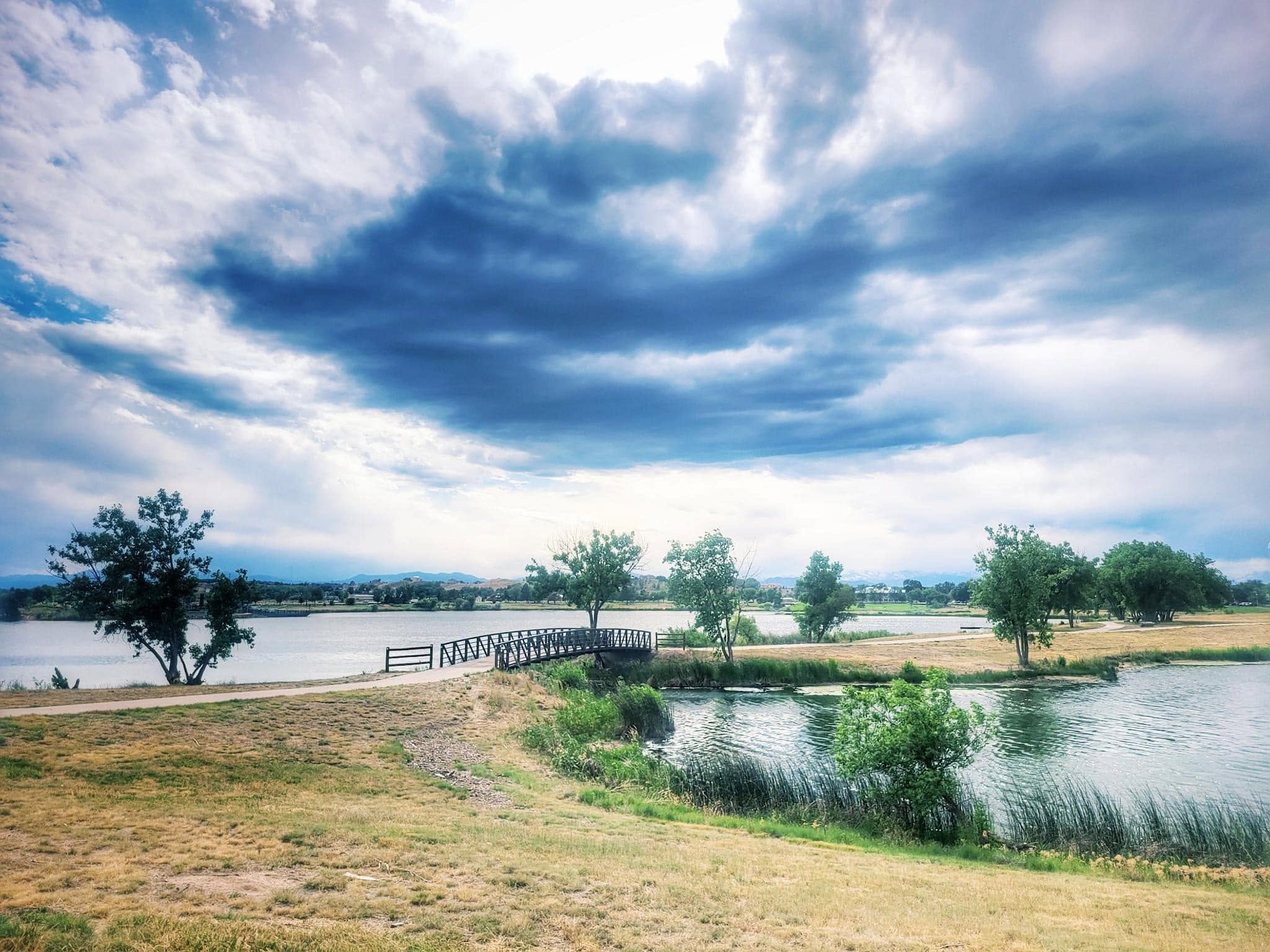
Segment Guides
The Denver Greenway
Sheridan is where the northern and southern routes divide, at the junction of the Bear Creek Trail, the Platte River Trail, and the Mary Carter Greenway. North of that junction the route is paved path for 32 unbroken miles, under every arterial in the city on grade-separated underpasses. Grant-Frontier Park marks the site of Montana City, the first settlement in what became Denver. Empower Field, the Children's Museum, and the Downtown Aquarium sit within three miles of one another on the river. Confluence Park is where the South Platte meets Cherry Creek and where the 1858 gold strike put Denver on the map; the city's flagship REI occupies the red brick powerhouse on the park's edge and is the only outfitter on the segment. Two miles downriver at Denargo Market stands Rhingo, a 30-foot climbable steel rhino unveiled in June 2025. Commerce City, Thornton, and Brighton hold the last of the pavement.
Weld County Section Roads
Above Brighton the pavement ends and the route is numbered county road on the section grid, dirt and blacktop through irrigated corn, feedlots, and gas pads. Fort Lupton and Platteville are the towns, each with a post office, a grocery, and a library. Between them Fort Vasquez sits in the median of US 85, a reconstructed adobe trading post built in 1835 by Louis Vasquez and Andrew Sublette and one of four competing fur posts on this stretch of the South Platte in the late 1830s. History Colorado runs it as a museum with free entry. US 85 is a 65-mph divided highway here and our guide keeps the route off it. Gilcrest, Evans, and Kersey follow the corridor east of Greeley, and Brower State Wildlife Area east of Kersey is closed to camping and fires.
The CO 144 Corridor
East of Kersey the corridor is US 34 and CO 144, and the gaps open up: 9 miles between waypoints in one stretch, 7 in another, with nothing in between but canal bridges and cottonwoods. Orchard is a post office and a café. Weldona is a post office and a bar. Fort Morgan has a full grocery, a Walmart, a row of motels on the trail, and a museum on Main Street with an exhibit on Glenn Miller, who grew up in town. Riverside Park on the river has water and restrooms, and a 2018 city ordinance makes it day use only.
Logan County and Sterling
Snyder, Merino, and Sterling are the Logan County towns. Merino is a block of storefronts on US 6 and the home of Bradford Rhea, who began carving Sterling's dying cottonwoods after a hard freeze in 1982 and gave the town its nickname, the City of Living Trees; 17 of the sculptures stand within walking distance of downtown. Sterling has full services including a laundromat, and the Overland Trail Museum on the east edge of town was built by the WPA in 1936 and named for the wagon road that carried the first settlers through. Sterling is the last full resupply for the 63 miles to the state line.
Julesburg and the Upper California Crossing
Iliff, Proctor, Crook, Sedgwick, and Ovid are post offices and convenience stores, spaced 4 to 7 miles apart. The eastern end of the segment crosses a dense piece of trail history. A marker above the river describes the Devil's Dive and the Italian Caves, a complex of gypsum-rock tunnels and galleries along the old stage road, one of them long enough to walk through upright. The Colorado Welcome Center at County Road 28 is open 24 hours and has a Pony Express monument on the grounds. Julesburg itself has occupied four separate sites; the third was an end-of-track camp when the Union Pacific reached Colorado in June 1867, grew to several thousand people, and earned the name the wickedest city in the West. County Road 28 here doubles as the South Platte River Trail Scenic and Historic Byway, a 19-mile interpretive loop with signs at the original townsite, Fort Sedgwick, and Colorado's only Pony Express home station. It shares a name with the paved path in Denver and is a completely different thing.
Alternates
The guide carries two alternates on this segment. One stays on US 6 between Merino and Sterling instead of the county road grid to the south. The other runs the highway directly between Ovid and Julesburg, about 8 miles against 11 on the mapped route. Both are in the turn-by-turn with full waypoints in the GPS data.
Timing and Terrain
No elevation gates this crossing. Weather on open ground does. Summer on the northeastern plains means highs in the 90s, hail-producing thunderstorms that build fast in the afternoon, and shade only where cottonwoods line the river. Colorado's plains tornado season peaks in May and June. Winter brings ground blizzards on the section roads, where drifting shuts county routes ahead of the plows, and the towns are far enough apart that a closed road is a real problem. Late spring and September are the workable windows. The Denver 32 miles are walkable year-round.
Water, Resupply, and Camping
Denver, Brighton, Fort Lupton, Platteville, Evans, Kersey, Fort Morgan, and Sterling cover full groceries. The thin stretch is the 50 miles between Kersey and Fort Morgan, with Orchard and Weldona in between and little in either. The South Platte is beside the route for most of the crossing and carries irrigation return the whole way, so the towns are the water and the tap is usually a park or a convenience store.
Camping is the hard problem. Weld, Morgan, Logan, and Sedgwick counties are private ground fence to fence, and both state wildlife areas on the route, Brower and Elliott, prohibit camping and fires. What is legal and reliable: town parks that permit it, the park shelter at Crook with water and outlets, an RV park at the Colorado Welcome Center with water and electric, and motels in Brighton, Fort Morgan, Sterling, and Julesburg. Almost everything else in our camping notes is stealth on private land, flagged as such in the guide.
What a Northern Colorado Crossing Looks Like
238.4 miles, 1,827 feet of net drop, and almost no navigation once the city is behind. The first 32 are a paved river path through a major metro with an REI, a climbable rhino, and the ground where Denver started. The other 206 are section roads and two-lane highway across farm country and shortgrass, with a fur-trade fort stranded in a highway median, a town full of carved cottonwoods, and a place that has been four different towns. One segment, one guide file, and a lot of sky. 🥾☀️