
Southern Colorado on the American Discovery Trail
Colorado · Southern Route
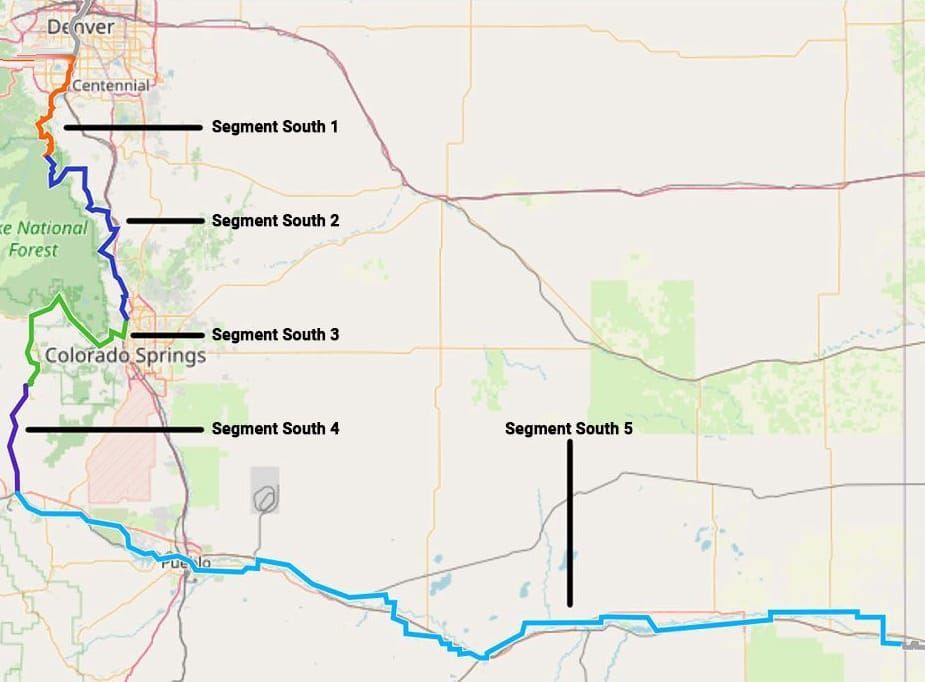
The southern route of the American Discovery Trail runs 383.3 miles across Colorado, between Sheridan on the south edge of Denver (where the northern and southern routes divide) and the Kansas line east of Holly. Front Range foothills, the Pike National Forest, a 10,426-foot high point above Cripple Creek, and two hundred miles of Arkansas River plains all sit on this branch.
The mountain half is Waterton Canyon, Rampart Range Road, Garden of the Gods, Ute Pass, and the Shelf Road down to Cañon City. The plains half is the Arkansas: Lake Pueblo, the melon fields at Rocky Ford, Bent's Old Fort on the Santa Fe Trail, John Martin Reservoir, and county roads to the state line at 3,349 feet, the lowest ground on the crossing.
Segment Guides
The Front Range Edge
Sheridan is where the northern and southern routes divide, on the South Platte at 5,281 feet, in a strip of big-box parking lots south of Denver. Between there and the mountains it's paved river path: the Mary Carter Greenway and the Platte River Trail through Littleton and Chatfield State Park, flat and busy with cyclists. Waterton Canyon ends that: a wide gravel road along the South Platte, closed to cars, where bighorn sheep are common enough that the picnic areas are named for them, and where the Colorado Trail begins its 486 miles to Durango. Above the canyon the Roxborough Connection Trail carries three categorized climbs past Carpenter Peak and the tilted red fins of Roxborough State Park. Indian Creek Trail tops out in Pike National Forest at 7,480 feet.
Rampart Range and the Palmer Divide
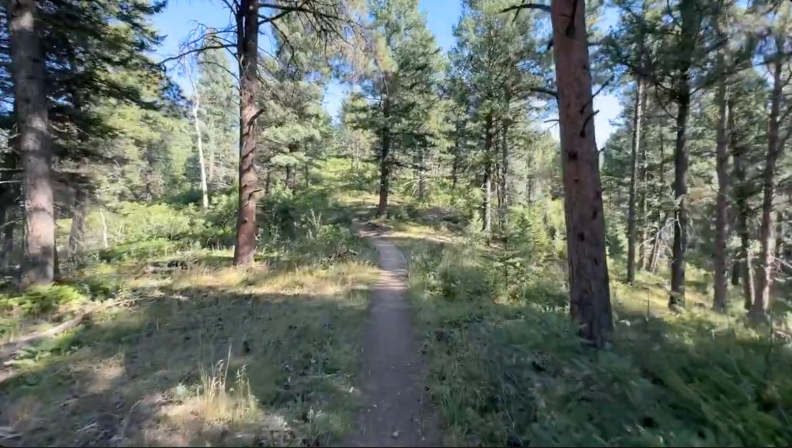
Pike National Forest holds the trail from Indian Creek to Larkspur on the Powerline Trail, Rampart Range Road, and Jackson Creek Road: forest dirt between 6,000 and 8,500 feet, with vault toilets at the trailheads and dispersed camping most of the way. Greenland Open Space below Larkspur is the largest block of undeveloped land left between Denver and Colorado Springs, and the Colorado Front Range Trail crosses it. From Palmer Lake the New Santa Fe Regional Trail runs about eighteen miles of crushed gravel on the old Santa Fe railroad grade, through Monument and across the grounds of the U.S. Air Force Academy. The Academy closes its section without much notice, and the guide carries a 12.3-mile road detour for the days it's shut.
Garden of the Gods and Ute Pass
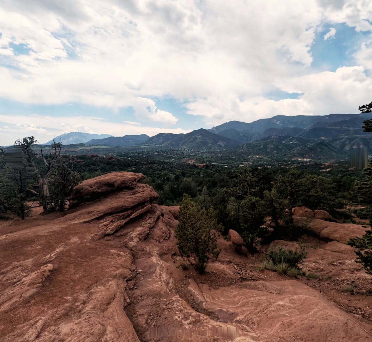
Colorado Springs is crossed on greenway (the Pikes Peak Greenway, the Sinton Trail, the Foothills Trail), and the trail enters Garden of the Gods on the Gateway Trail, passing between South Gateway Rock and the Kissing Camels, then by Balanced Rock. Manitou Springs and its mineral springs sit at the foot of Ute Pass, where US 24 narrows into 2.25 miles our guide flags as dangerous walking; a Barr Trail alternate over the flank of Pikes Peak, past Barr Camp, gets around it. Cascade, Green Mountain Falls, and Woodland Park are strung along the Ute Pass Trail above the highway, and CO 67 past Mueller State Park climbs to the crossing's high point, 10,426 feet on Teller County Road 821. The Gold Camp Trail comes down from there into Cripple Creek.
Cripple Creek and the Shelf Road
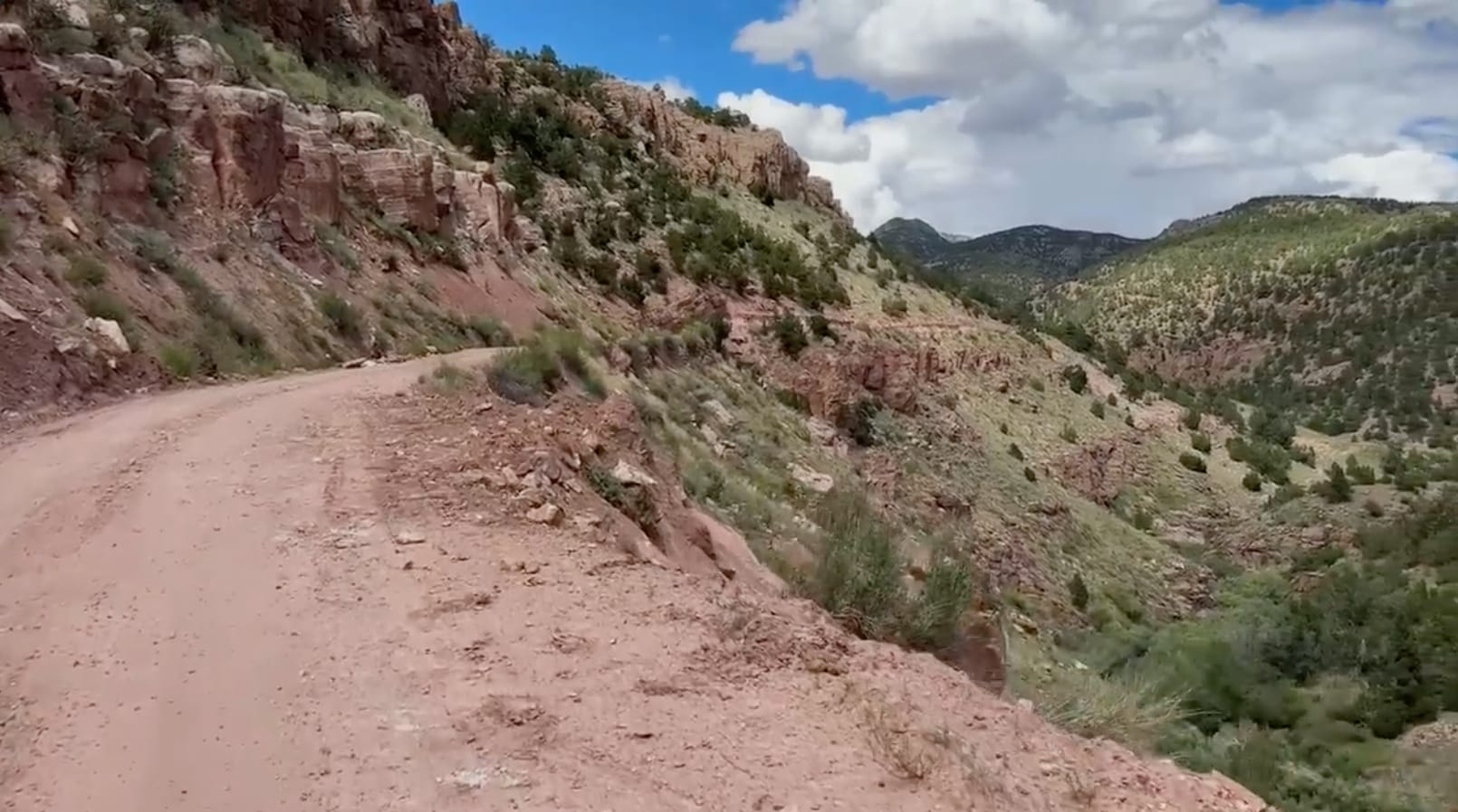
Cripple Creek sits at 9,469 feet in the caldera of an extinct volcano that turned out to be one of the richest gold camps in the world. Bennett Avenue is casinos now, and a herd of free-roaming donkeys, descendants of the pack burros the miners turned loose, still works the streets. South of town the Shelf Road, the old stage road to Cañon City, is a single lane of gravel cut into the canyon wall past Window Rock and the limestone climbing crags at Red Canyon. Below it the Garden Park Fossil Area holds Morrison Formation quarries that produced some of the first Stegosaurus and Allosaurus skeletons ever described, dug in the 1870s at the height of the Bone Wars. Cañon City is 4,151 feet lower than Cripple Creek, 26.3 miles away.
Cañon City to Pueblo
Cañon City has a full grocery, a Walmart, and the Arkansas Riverwalk, a paved path on the river below the Royal Gorge. Beyond Florence the route is county road across the Arkansas and US 50 shoulder to Lake Pueblo State Park, then 20 miles of multi-use path (the North Marina and Arkansas River trails) along the reservoir and down the river into Pueblo. Murals cover the Arkansas River levee through Pueblo, more than 125 of them. The project held a Guinness record from 1995 until the old wall was demolished in 2016, and artists have been repainting the replacement since. The Fountain Creek confluence is where the winter alternate from Colorado Springs comes back in.
The Santa Fe Trail Plains
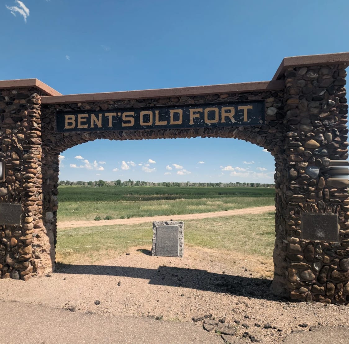
East of Pueblo it's 175 miles of farm road, county road, and small-town main street, dead flat and mostly unshaded. CO 96 links Boone, Fowler, and Olney Springs. Manzanola, Rocky Ford, and Swink are irrigated melon country. The Rocky Ford cantaloupe has been a going concern since the 1880s, and one of the roads the trail uses is called the Melon Trail. From La Junta the route is on State Highway 194, the Mountain Branch of the Santa Fe Trail, past Bent's Old Fort (the reconstructed 1830s adobe trading post, now a national historic site), then Fort Lyon and its national cemetery, John Martin Reservoir State Park, and Las Animas. Lamar, Bristol, Hartman, and Holly carry the last hundred miles to the Kansas line.
Timing and Terrain
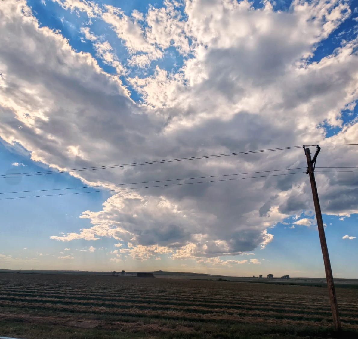
Snow gates the mountain half. The Rampart Range, the country above Divide, and the Shelf Road can hold drifts and ice from November into April, and Rampart Range Road is not plowed. Our guides carry winter alternates for the two segments with the most high ground, keeping the route low when the high country is shut. Afternoon thunderstorms build over the Front Range daily in July and August and there is no shelter above treeline on the Cripple Creek crossing. The plains have the opposite problem: heat, wind with nothing to break it, and stretches of county road with no shade for hours. Late spring and September are the kind windows on both halves.
Water, Resupply, and Camping
Littleton, Sedalia, Larkspur, Monument, Colorado Springs, Woodland Park, Cripple Creek, and Cañon City sit close together through the mountains, and the plains towns (Fowler, Rocky Ford, La Junta, Las Animas, Lamar, Holly) come every 10 to 20 miles with a grocery or a convenience store. Camping is the harder problem. The Denver metro corridor and the Colorado Springs greenways offer almost nothing legal, and the plains are private ground fence to fence. What works: dispersed camping across the Pike National Forest, BLM ground along the Shelf Road, the state park campgrounds at Lake Pueblo and John Martin Reservoir, a state wildlife area east of Lamar, and town parks that allow it. Water is reliable in the mountains and municipal on the plains. The Arkansas runs beside the trail for 200 miles but carries irrigation return, so the towns are the water.
What a Southern Colorado Crossing Looks Like
Two hikes end to end. The first 165 miles are the postcard: bighorn in Waterton Canyon, red rock at Roxborough and Garden of the Gods, a Pike National Forest traverse, a 10,426-foot pass, a gold-rush town full of donkeys, and a stage road on a canyon shelf. The last 219 are the Arkansas: melon fields, an adobe fort, a reservoir full of pelicans, and long straight county roads under a very big sky. Most hikers remember the mountains and get taught something by the plains. 🥾⛰️