
Northern Illinois on the American Discovery Trail

Illinois · Northern Route
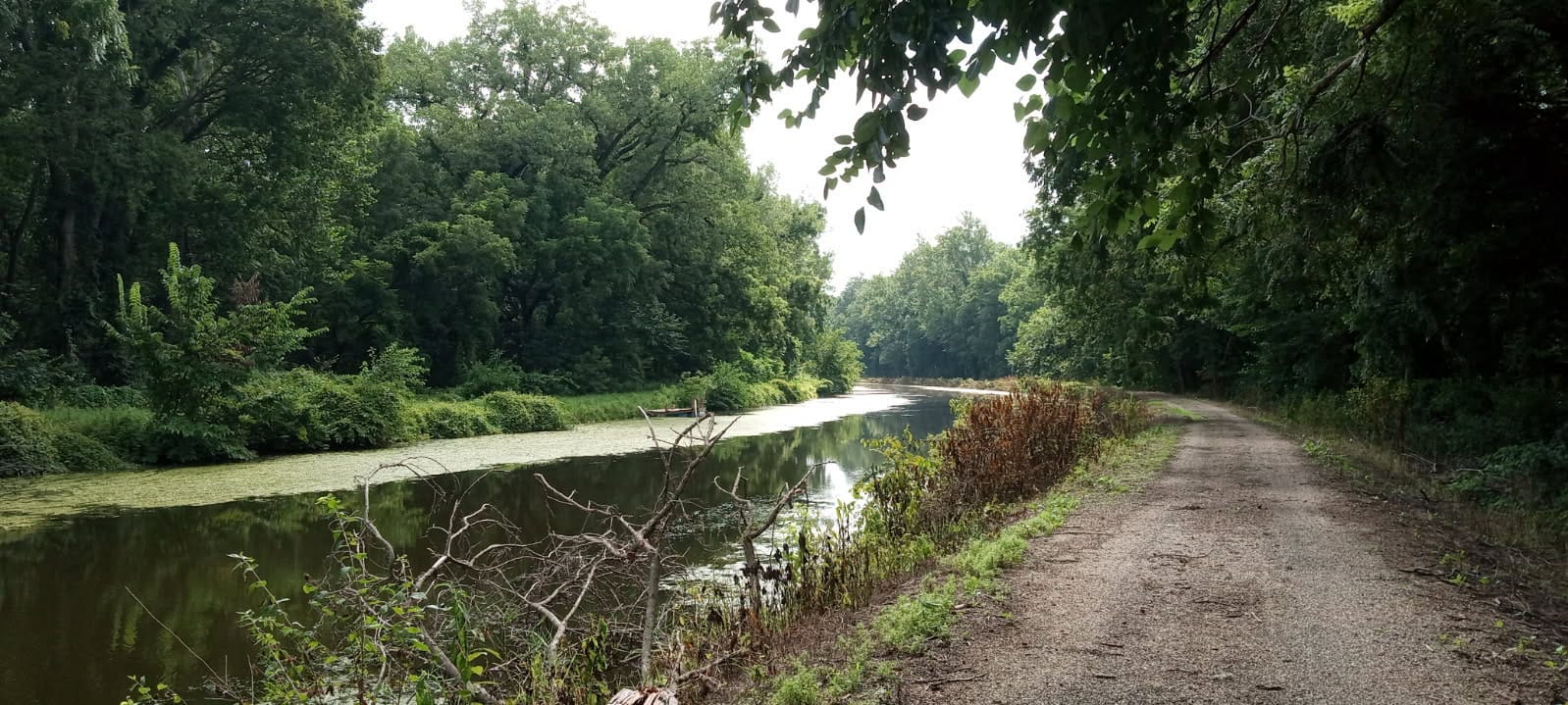
Northern Illinois carries the American Discovery Trail's northern route about 194 miles across the top of the state, between the Mississippi River at the Quad Cities and the Indiana line at Lansing. Nearly all of it is canal towpath and rail-trail (flat and tree-lined) through two National Register canals and the prairie edge of the Chicago suburbs.
The western end runs the Mississippi riverfront on the Great River Trail through Rock Island and Moline, then joins the towpath of the Hennepin Canal and its long chain of locks and aqueducts. The Illinois & Michigan Canal State Trail holds the interior past Buffalo Rock, Ottawa, and Morris. At the eastern end the Old Plank Road and Thorn Creek trails thread Joliet's suburbs and Cook County forest preserves to the Indiana state line.
Segment Guides
The Quad Cities and the Great River Trail
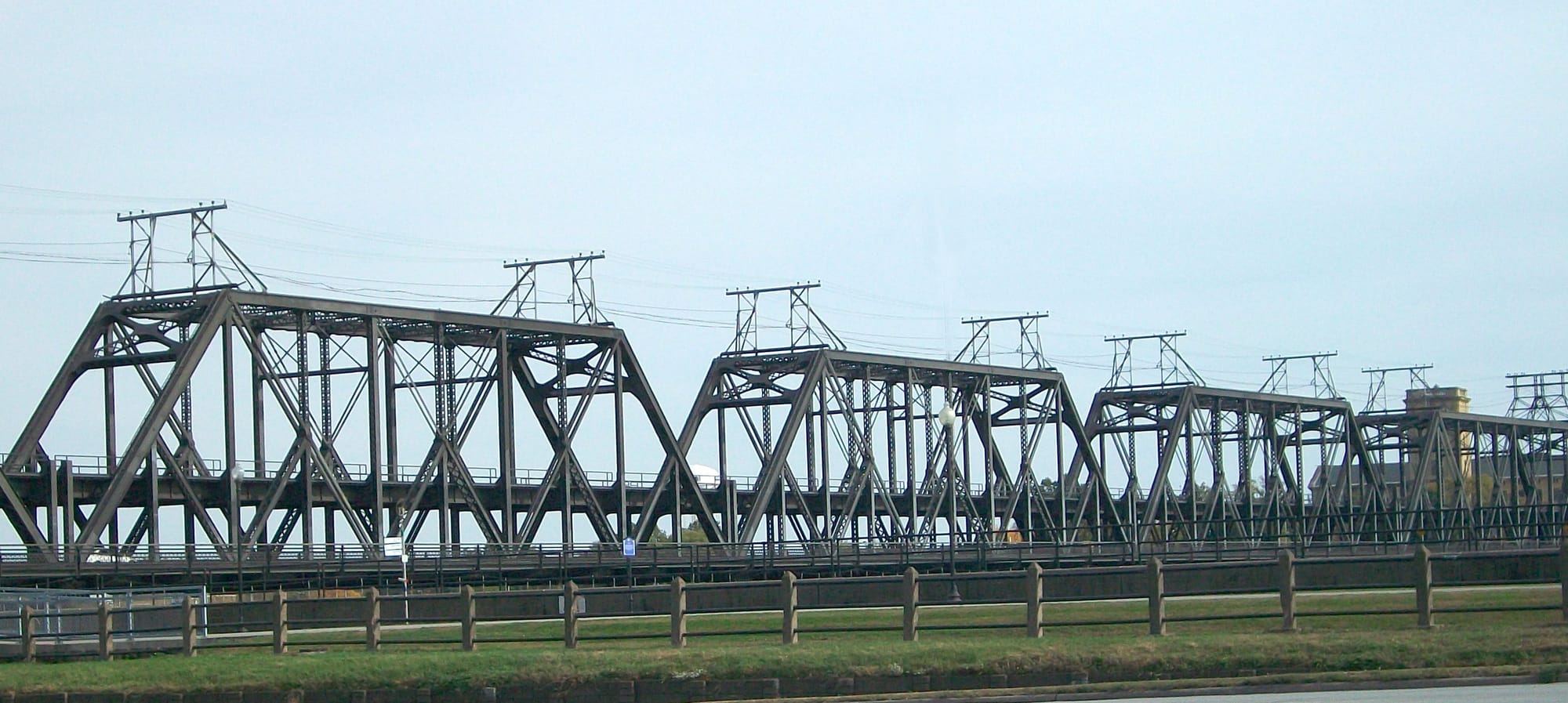
At the western end the route crosses the Mississippi from Iowa on the Government Bridge, a working swing span with a pedestrian walkway, and lands on the Great River Trail in Rock Island. The paved riverfront path runs the Illinois bank through Rock Island, Moline, and East Moline, past the John Deere Commons, riverside parks and piers, and a full run of city services. This is the resupply and lodging anchor of the western end: groceries, outfitters, hotels on or near the trail, and post offices in each of the three cities. The walking is flat and urban here, with the river close on one side for most of it.

The Hennepin Canal
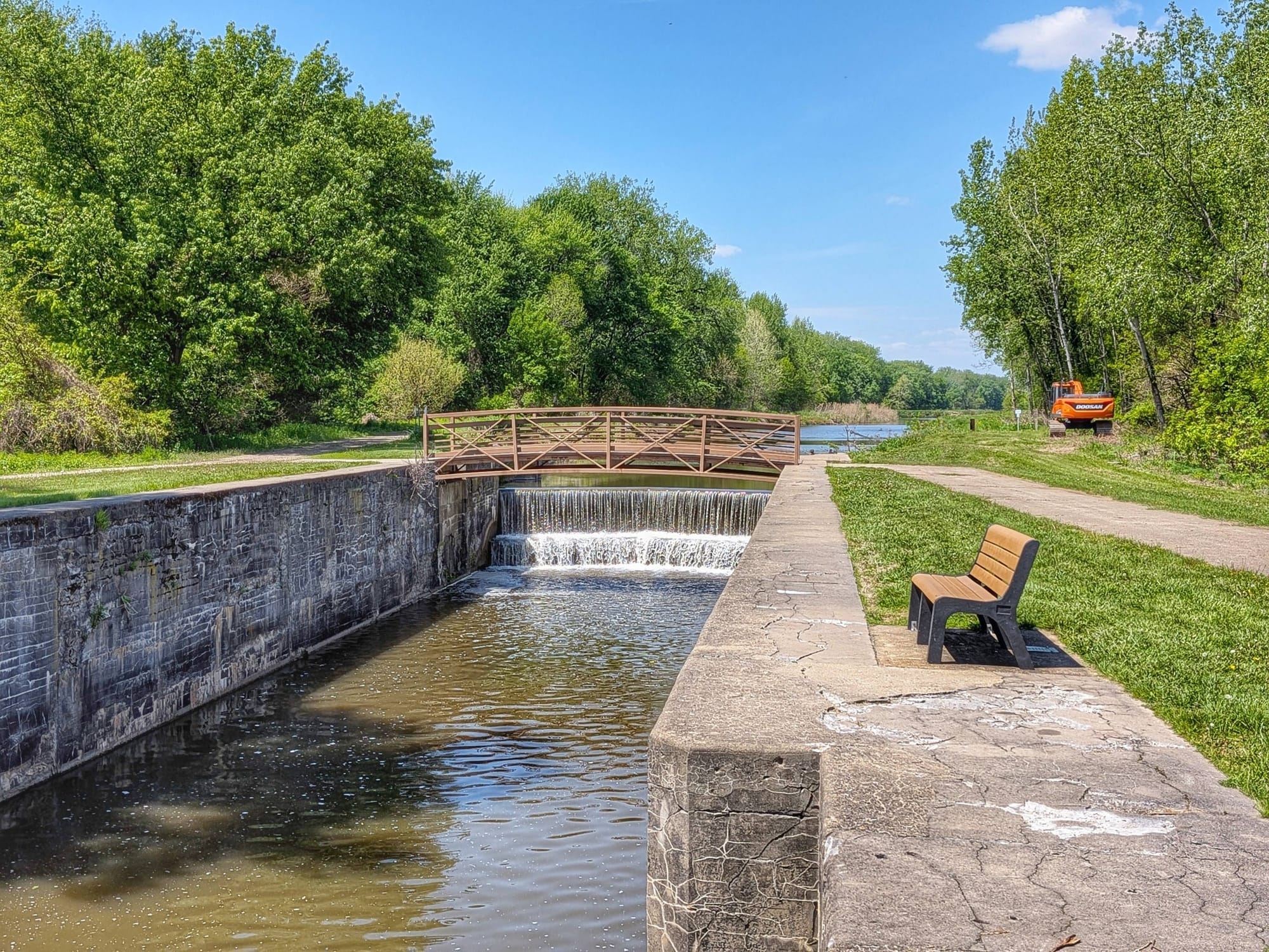
East of the Quad Cities the trail leaves the river near Colona and picks up the towpath of the Hennepin Canal, the old Illinois & Mississippi Canal, opened in 1907 to link the two rivers and now a state parkway on the National Register of Historic Places. It was the first American canal built of concrete instead of cut stone, and the poured-concrete lock design pioneered here fed directly into the engineering of the Panama Canal. The towpath runs dead-flat and remote for more than 50 miles, past thirty-odd lock chambers (many now spilling as low concrete waterfalls), six surviving aqueducts, and the lift bridges and Marshall gates unique to this canal. The Visitor Center near Sheffield sits a short way off the path. Legal camping through this stretch is at the canal's own day-use areas at several locks and bridges; towns sit a mile or two off the towpath.
The Illinois & Michigan Canal
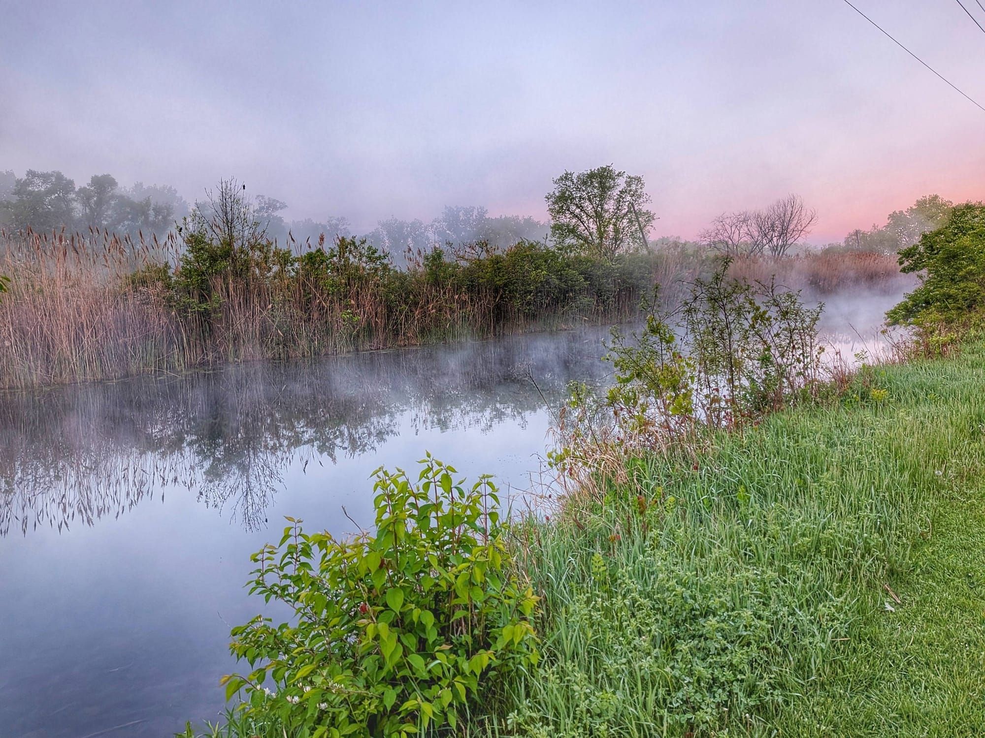
The interior belongs to the Illinois & Michigan Canal State Trail, running the old towpath between the LaSalle–Peru area and Joliet. The I&M Canal, finished in 1848, connected Lake Michigan to the Illinois River and on to the Mississippi and the Gulf, the first through water route from the East Coast to the Gulf of Mexico. Its corridor became the country's first National Heritage Area in 1984. The surface is crushed limestone in the maintained stretches and grass or dirt in others, shaded and low, and it strings together a run of state parks: Buffalo Rock on its bluff above the Illinois River, near the Effigy Tumuli earth sculptures; the Fox River Aqueduct at Ottawa; Gebhard Woods and the Nettle Creek Aqueduct at Morris, with William G. Stratton State Park alongside; the Aux Sable lock and aqueduct; and Channahon State Park, with its restored locks and locktender's house. Channahon and Gebhard Woods both allow tent camping, and canal towns (Ottawa, Marseilles, Seneca, Morris) come every few miles for resupply.
Joliet and the Suburban Rail-Trails
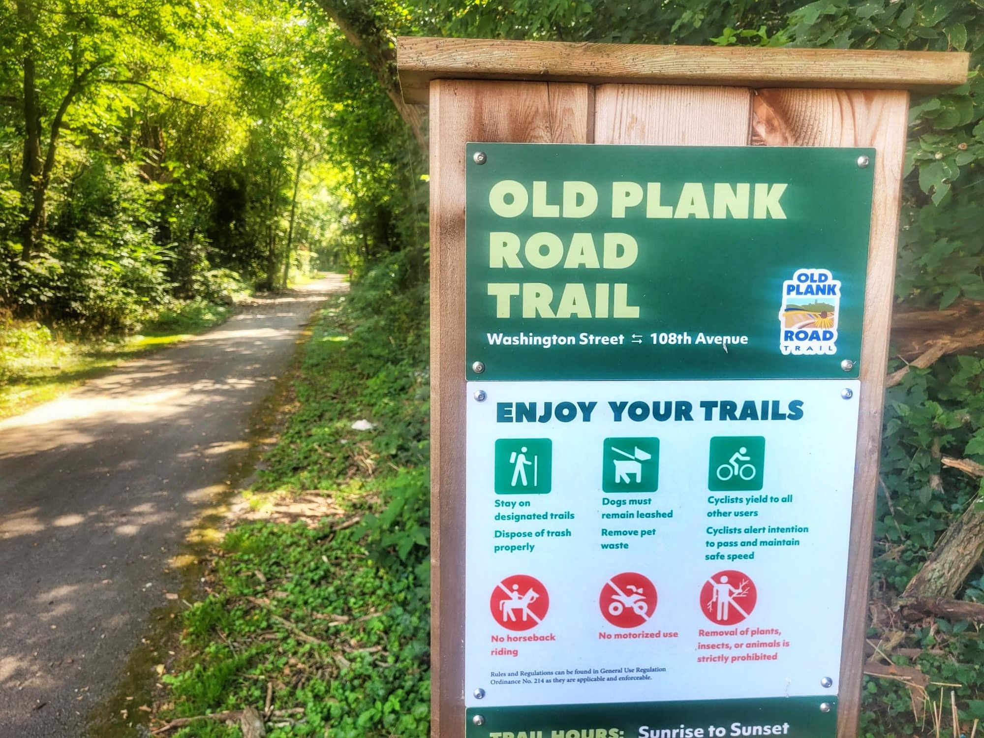
Through Joliet a short run of city streets links the canal towpaths to the Old Plank Road Trail, a paved 22-mile rail-trail on the old Michigan Central "Joliet Cut-Off" that runs east through New Lenox, Frankfort, Matteson, and Park Forest to Chicago Heights. Frankfort's historic district sits right on the trail, and strips of never-plowed tallgrass prairie survive along the old railbed. US 30, the Lincoln Highway, parallels the whole way. At Chicago Heights the Old Plank Road meets the Thorn Creek Trail, 16 paved miles through the Cook County forest preserves (Joe Orr Woods, Glenwood, Sweet Woods, and Lansing Woods) to the Illinois–Indiana state line at Lansing, where the northern route crosses into Indiana. It's developed suburb the whole way: paved, with services at every town, and almost no legal camping.
Timing and Terrain
Northern Illinois is flat, low walking on canal towpath and rail-trail from end to end, with no high country to gate a season. Spring is the wet window: the Hennepin and I&M towpaths run muddy and, in the unmaintained I&M stretches, overgrown, and the river bottoms hold water. Summer is hot and humid, with long exposed stretches on the open canal banks, ticks in the grass, and thin shade in places. The paved sections (the Great River Trail, the Old Plank Road, and Thorn Creek) hold up in any weather, but none of them are plowed in winter. Late spring through fall is the practical window, with fall the driest and the best for canal color.
Water, Resupply, and Camping
The Quad Cities anchor the west with full groceries, outfitters, and lodging on the trail, and Joliet and its suburbs cover the east the same way, with resupply in Frankfort, Matteson, and Park Forest. The middle has canal towns every few miles (Colona, LaSalle–Peru, Ottawa, Marseilles, Seneca, Morris), so a hiker rarely goes far without a store. Water is reliable at parks, towns, and canal day-use areas, and thinner on the long remote towpath stretches, where it's worth carrying ahead. Camping is where the route asks for planning: the Hennepin Canal's lock and bridge day-use areas carry the western nights, Channahon and Gebhard Woods anchor the I&M, and the developed suburban east end has almost no legal camping. The segment guides flag where the options are.
What an Illinois Crossing Looks Like
A canal-and-rail-trail state, front to back. Northern Illinois is flat, historic towpath walking: the Mississippi riverfront, the concrete locks of the Hennepin, and the National Heritage corridor of the I&M, bookended by two cities and closed out on the paved suburban trails into Indiana. It's the easiest terrain on the northern route. 🥾💧