
Southern Illinois on the American Discovery Trail
Illinois · Southern Route
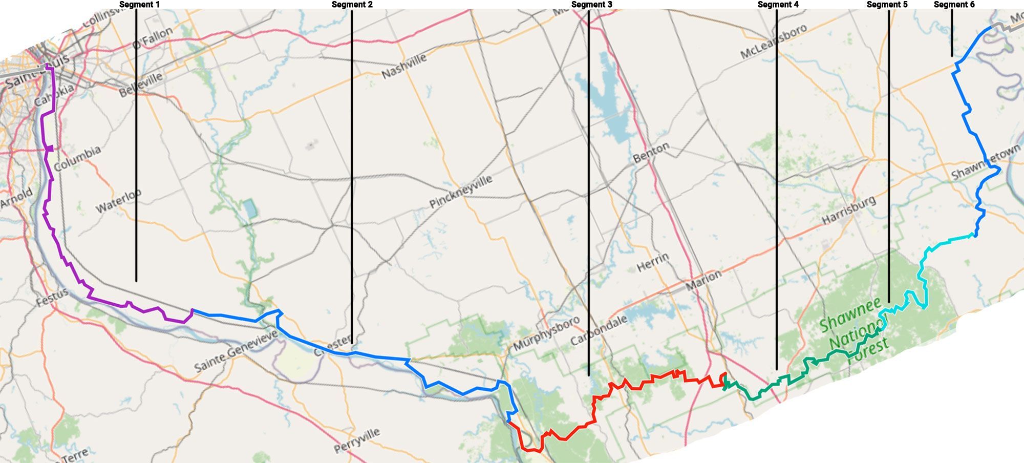
Southern Illinois carries the American Discovery Trail's southern route about 298 miles across the bottom of the state, between the Mississippi River at St. Louis and the Wabash River at the Indiana line. It's two hikes in one: a flat river walk through French colonial country in the west, and the Shawnee National Forest in the east, Illinois's only national forest and its best backpacking.
The western third runs the levee roads and bluff bases of the Mississippi bottoms, past 18th-century French forts and the town of Chester, hometown of Popeye. At Grand Tower the route meets the River to River Trail and stays with it for 150 forest miles: Giant City's sandstone, the Lusk Creek and Panther Den wildernesses, and Garden of the Gods, with the Ohio River flats and the Wabash bridge into Indiana at the eastern end.
Segment Guides
The Eads Bridge and the American Bottom
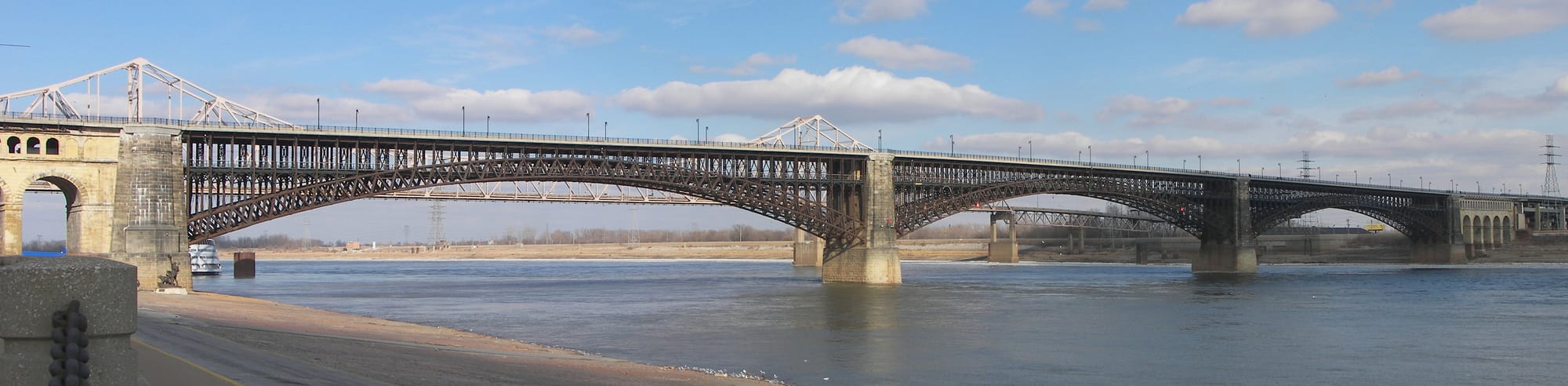
At the western end the route crosses the Mississippi from St. Louis on the Eads Bridge, a 19th-century steel span with a dedicated pedestrian walkway, landing in East St. Louis within sight of the Gateway Arch. Beyond the city the trail drops onto the American Bottom, the wide Mississippi floodplain, and follows levee and farm roads south through Sauget, East Carondelet, and the flat bottomland of Monroe and Randolph counties. It's exposed, dead-flat walking, with the river on one side and limestone bluffs standing back to the east. Legal camping is thin through here; the levee right-of-way, a few town parks, and Fort de Chartres carry the nights.
French Colonial Country
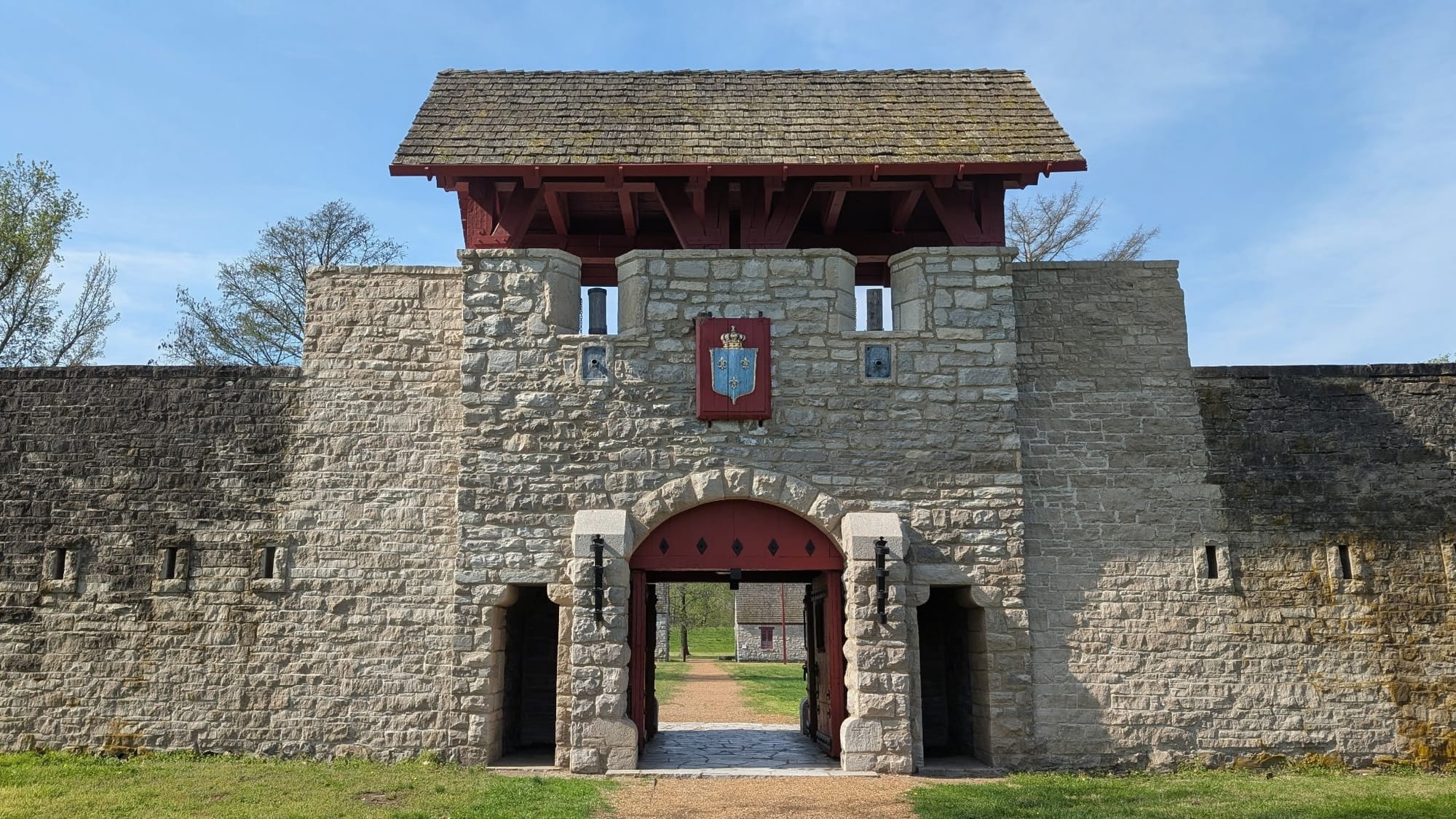
Fort de Chartres, a reconstructed French stone fort from the 1750s, sits right on the trail with free camping and a pavilion. Prairie du Rocher nearby dates to 1722 and still holds a French-descended community. Below it the Modoc Rock Shelter, a bluff overhang used by people for thousands of years, is one of the oldest documented habitation sites in eastern North America, marked with interpretive signs a few steps off the path. Fort Kaskaskia's earthworks look down on the river a little farther on. It's the oldest-settled ground in Illinois, all of it on flat river road.
Chester and the River Towns
Chester is the resupply anchor of the western half: a full grocery, a Walmart, and the hometown of Elzie Segar, who created Popeye; character statues stand around town. Ellis Grove, Rockwood, and Gorham are smaller stops along IL 3 and the bluff roads between them. The route passes below Menard Correctional Center, where camping and photography are off-limits along the prison boundary. At Grand Tower, a river town under the Devil's Backbone bluff, the Mississippi walking gives way to forest.
The River to River Trail and the Shawnee
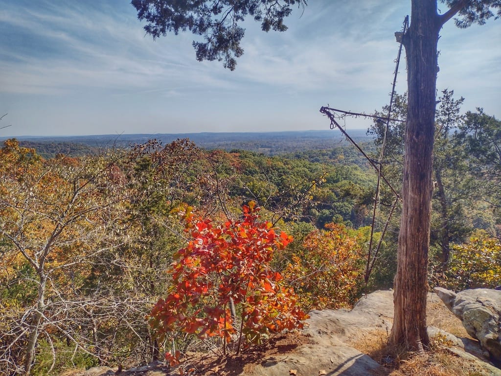
Grand Tower sits at the traditional start of the River to River Trail, the roughly 160-mile footpath across the bottom of Illinois from the Mississippi to the Ohio, and the ADT follows it across the whole eastern half of the state. River to River hikers fill a small bottle with Mississippi water at Grand Tower and pour it into the Ohio at the far end. The signed trail proper begins a few miles on at the Godwin West Trailhead in the Pine Hills, a rugged block of bluffs and swamp bottom by the LaRue–Pine Hills natural area, copperhead and cottonmouth country in the warm months. Beyond it come the Clear Springs and Bald Knob wildernesses, the trail town of Alto Pass, and Giant City State Park, named for the sandstone blocks that stand like streets and buildings among the trees. Panther Den Wilderness follows, a maze of split and slotted rock that hikers nickname "Panther Den City." The forest here is ridge-and-hollow in one form or another all the way toward the Ohio: short, steep climbs, creek fords, and long stretches with no road crossing.
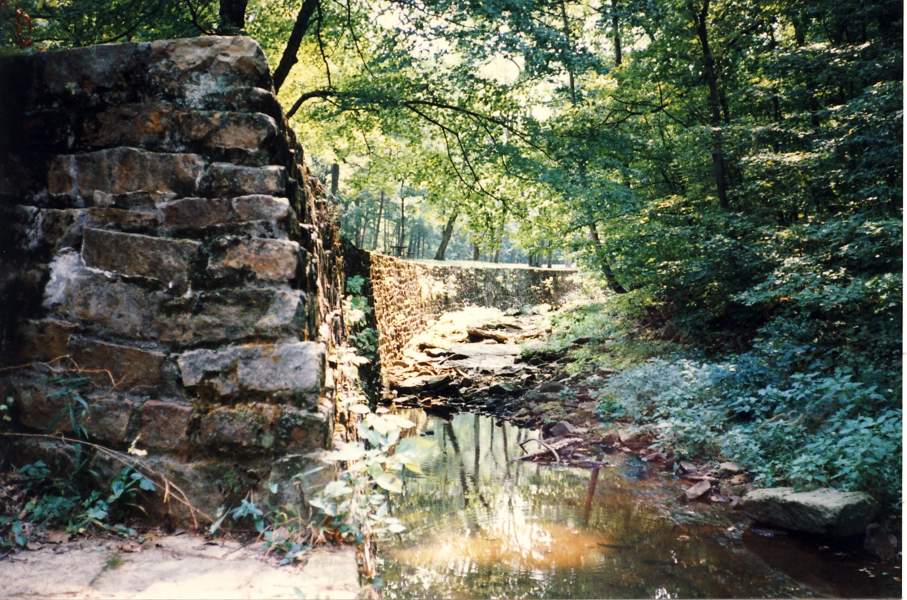

Ferne Clyffe and the Forest Interior
Ferne Clyffe State Park holds Hawk's Cave, a 150-foot shelter bluff you can walk the length of, along with natural arches and the seasonal drop of Bork Falls. East of the park the route threads Shawnee forest roads and the River to River Trail across the Tunnel Hill State Trail (a paved rail-trail the ADT crosses) through some of the emptiest, most heavily wooded miles in the state. Water shows up often here in creeks and fords, though many run seasonally, and dispersed campsites with old fire rings sit at nearly every ridge and hollow. Vienna lies a few miles south for resupply; otherwise it's forest, roughly to Eddyville.
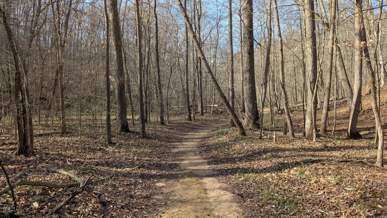
Lusk Creek and Garden of the Gods
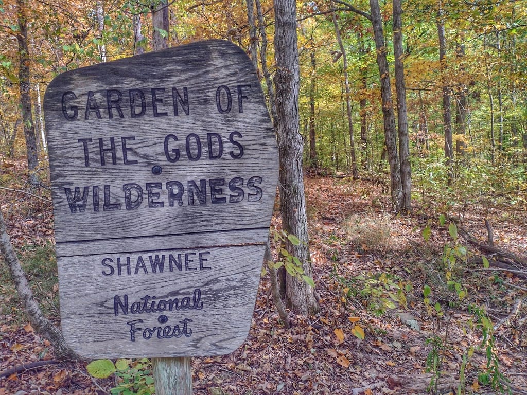
Lusk Creek Wilderness drops into a sandstone canyon with rock walls and clear pools; One Horse Gap and Owl Bluff give overlooks a short scramble off the trail. High Knob's bluff-top campground looks out over the forest canopy. And Garden of the Gods, the best-known corner of the Shawnee, sits right on the route, its wind-carved sandstone standing above the treetops, with dispersed camping and no permit required.
Old Shawneetown to the Wabash
Near Rim Rock the route leaves the high forest (an optional loop here passes Ox Lot Cave and the beach at Pounds Hollow Lake) and comes down to Old Shawneetown on the Ohio River, once the financial capital of the Illinois frontier and home to the old State Bank building. The last miles flatten into farm road through Junction, Ridgway, and New Haven to the Wabash Memorial Bridge, where the southern route crosses the Wabash into Indiana toward Evansville.
Timing and Terrain
Illinois has no high country to gate a season. The Mississippi bottoms and the Big Muddy flood in spring; when the river runs high, the levee and bottom roads in the west can go underwater, and we flag the Cape Girardeau gauge in the guide for the worst of it. The Shawnee is the workout: short, steep grades one after another, creek fords that rise fast after rain, and thin ridgetop water in dry spells. Summer is hot and humid, with ticks, poison ivy, and copperheads in the bottoms and rock. Spring and fall are the kinder windows: spring for water and green, fall for dry fords and color.
Water, Resupply, and Camping
Chester covers the western half with a full grocery and a Walmart; Alto Pass, Makanda, Goreville, Vienna (off-trail), and Herod are small stops through the forest, and New Haven and Shawneetown anchor the far eastern end. Water is easy in the Shawnee (creeks, fords, and springs, many of them seasonal) and harder on the western levee and farm roads, where towns and a few trail angels fill the gaps. Camping runs the other way: the Shawnee National Forest allows dispersed camping widely, and the eastern half is full of established sites, with developed campgrounds at Giant City, Ferne Clyffe, and High Knob. The western river bottoms are where legal camping takes planning: levee right-of-way, Fort de Chartres, and town parks at Prairie du Rocher and Rockwood.
What an Illinois Crossing Looks Like
A flat French-colonial river walk that turns, at Grand Tower, into the best public-land hiking in the state. Southern Illinois front-loads its history (French forts, ancient rock shelters, Popeye's hometown), then hands over 150 miles of Shawnee sandstone, wilderness canyon, and dispersed forest camping on the River to River Trail. The bottoms test your patience; the forest tests your legs. 🥾🌲