
Missouri on the American Discovery Trail

Missouri · Southern Route
Missouri carries the American Discovery Trail's southern route 309.1 miles across the state, between the Kansas line in the Kansas City metro and the Mississippi River at St. Louis. Roughly 260 of those miles run on converted railroad grade, two long rail-trails joined end to end at the town of Windsor.
The western third is Kansas City greenway and the Rock Island Trail, with about 10 miles of county blacktop covering the gap where the corridor isn't built yet. The middle and east belong to the Katy Trail, most of it pinned between the Missouri River and 200-foot limestone bluffs. The eastern end is city walking: Creve Coeur Park, Clayton, Forest Park, and downtown St. Louis to the Eads Bridge.
Segment Guides
Kansas City and the Rock Island Gap
The western end sits at Watts Mill on the state line, where the Indian Creek Trail crosses out of Leawood, Kansas, into south Kansas City on paved greenway. Indian Creek and the Blue River Greenway hold the route for several miles through the metro park system, and Brickyard Road connects to Jackson County's piece of the Rock Island corridor: crushed limestone, a trailhead at 98th Street, and the Vale Tunnel. That county section runs out near Lee's Summit.
The corridor between Lee's Summit and Pleasant Hill is unbuilt, and the route covers the gap on about 10 miles of county blacktop: East 87th Street, the edge of the James A. Reed Memorial Wildlife Area, the Shawnee Trace nature trails, and Smart Road, the only sustained road walk in Missouri.
The Rock Island Trail
Rock Island Trail State Park runs 47.5 miles of crushed limestone between Pleasant Hill and Windsor, opened in 2016 on the old Chicago, Rock Island and Pacific grade after Ameren leased the corridor to the state. Chilhowee and Leeton are the only towns of any size on it; the rest is farm field, woodlot, and stream crossing, with trailheads at Purvis Road, Route P, Medford, and Chilhowee. Shade is intermittent and services are thin. Most hikers plan the 47 miles around Pleasant Hill on one end and Windsor on the other. Missouri State Parks holds another 144 miles of the same corridor between Windsor and Beaufort, undeveloped and closed to public use.
Windsor and the Katy Trail
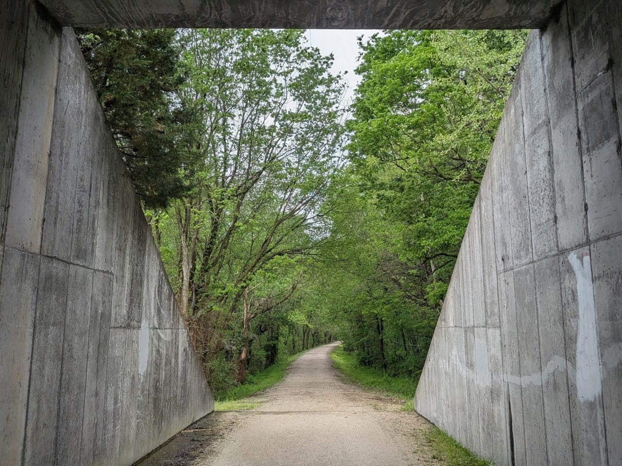
Windsor is where the two rail-trails meet, and the Katy holds the route for the remaining 206 miles across the state. At roughly 240 miles between Clinton and Machens, Katy Trail State Park is the longest developed rail-trail in the country, built on the Missouri-Kansas-Texas grade that Union Pacific donated to Missouri after the 1986 flood ended freight service. Crushed limestone the whole way, railroad-flat, 26 trailheads, four restored depots.
Windsor to Boonville is upland farm country, through Green Ridge, Sedalia, Clifton City, and Pilot Grove. No river yet. Sedalia is the largest town on the western half, with the restored Katy Depot on the trail and the Missouri State Fairgrounds a few blocks off it. An old steel truss bridge carries the trail over the Lamine River east of Clifton City. Boonville sits on the Missouri River at the far end, where the Boonslick Bridge takes the trail across; the 1932 Katy lift bridge stands alongside it, preserved, half-open to walkers, and still unfinished as a trail crossing.
The Missouri River Bluffs
The Katy meets the Missouri River at Boonville and stays with it for the rest of the state. The section between Cooper and St. Charles counties is a designated segment of the Lewis and Clark National Historic Trail, and interpretive signs mark expedition campsites along it.
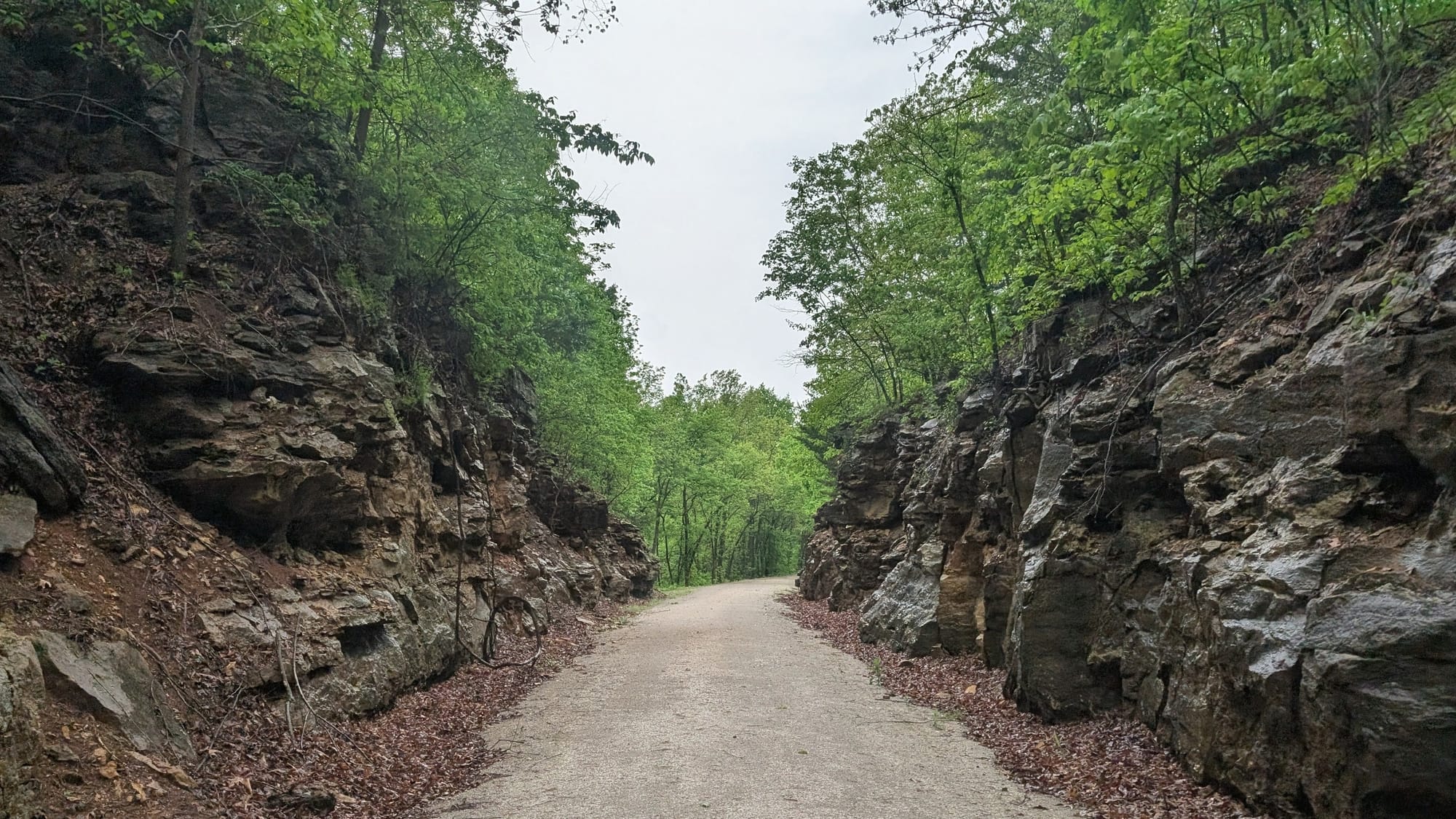
Franklin and New Franklin sit on the north bank at the eastern end of the Boonslick Road and the start of the Santa Fe Trail; a Katy caboose and a Conestoga wagon replica stand at the New Franklin trailhead. Near Rocheport the trail passes through its only tunnel, a 243-foot bore cut through Moniteau Bluff in the early 1890s, and over the Salt Creek bridge that the 2019 flood tore off its abutments and the state replaced in 2022. The limestone stands 200 feet above the trail through here, with the river on the other side. Les Bourgeois keeps a blufftop bistro above the trail at Rocheport. A natural arch called Roche Percee sits farther on, along with Boathenge, a row of boats buried nose-up beside the trail, Coopers Landing, and the small trail towns of Huntsdale, McBaine, and Hartsburg. At Hindman Junction the MKT Nature and Fitness Trail runs 9 miles north into Columbia.
Jefferson City and the River Towns
Jefferson City is the biggest resupply between Kansas City and St. Louis, but the trail stays on the north bank and the city sits about 3 miles south across the Missouri River. Wainwright, Tebbetts, Mokane, Steedman, Portland, Bluffton, Rhineland, and McKittrick sit at intervals of a few miles each, usually a grain elevator, a handful of houses, and sometimes a hostel or a store. Tebbetts has the Turner Shelter, a converted schoolhouse bunkhouse that has been the standard Katy hiker stop for decades. Hermann, the German wine town, lies 2 miles south of McKittrick across the Missouri River bridge, which now carries a separated bike and pedestrian path. Standing Rock near Steedman is cut with flood marks from 1903 through 1993. Cote Sans Dessein, the hill south of the trail near Tebbetts, was in the running for the state capital until flood risk ruled it out.
Missouri Wine Country
Augusta, on the trail in St. Charles County, was the first American Viticultural Area the federal government ever designated, on June 20, 1980, eight months ahead of Napa Valley. German immigrants planted these bluffs in the 1840s and '50s, and Missouri was the second-largest wine-producing state in the country before Prohibition.
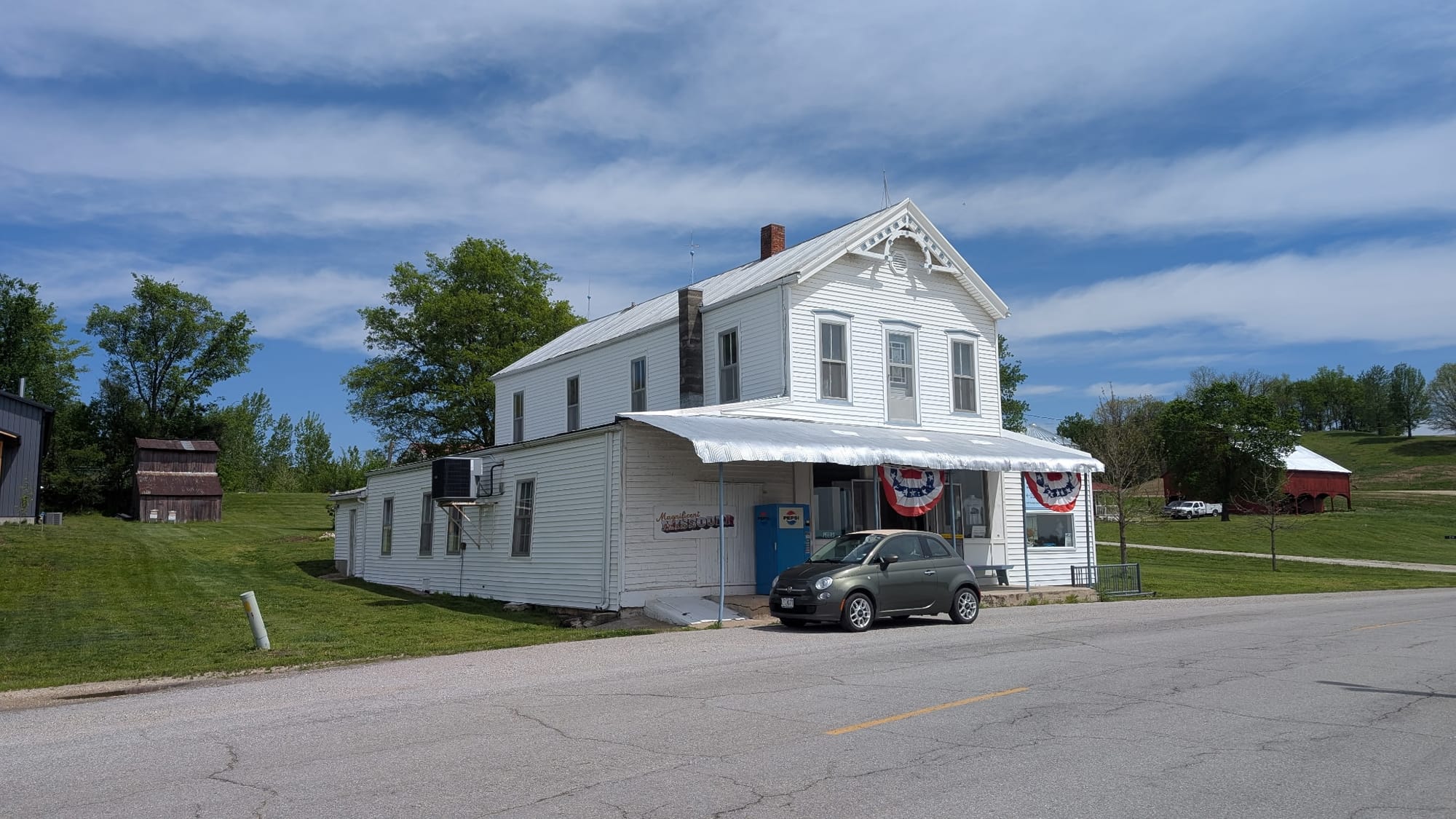
Treloar, Peers, Marthasville, Dutzow, Augusta, Defiance, and Weldon Spring are the stops through this stretch, and they carry more services per mile than anywhere else in the state. The Peers Store, on the National Register, opens seasonally and keeps free snacks for hikers. Daniel Boone's original grave site is a short walk north of the trail at Marthasville, and his last home stands near Defiance. Klondike Park, on a reclaimed silica quarry above the river, has cabins, tent sites, and a bluff overlook.
Into St. Louis
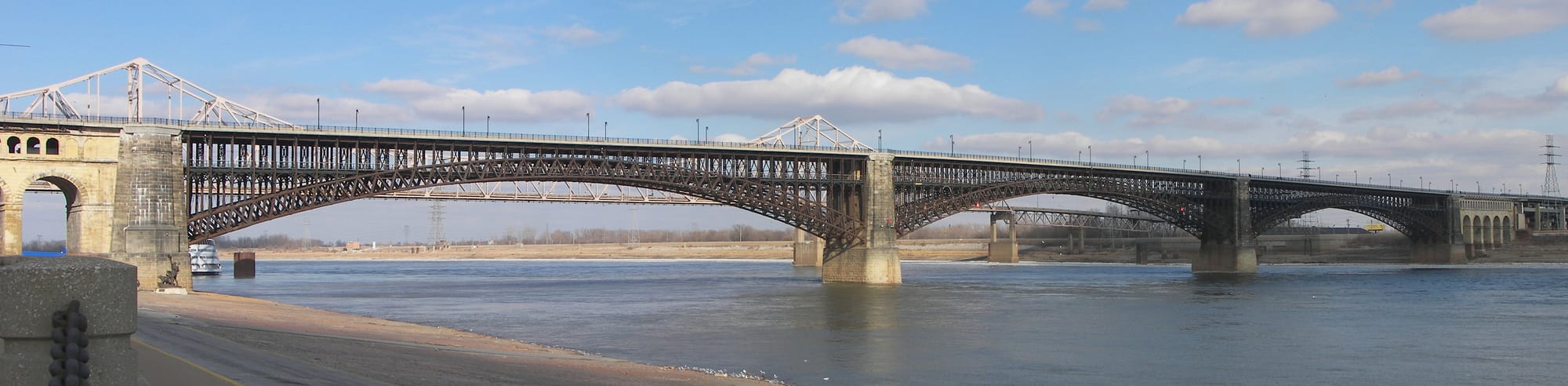
The route leaves the Katy near Weldon Spring, where the Creve Coeur Connector heads south into St. Louis County, and the last 25 miles are city walking. Creve Coeur Park and Mallard Lake come first, then sidewalk along Olive Boulevard, the I-270 interchange, and Ladue Road into Clayton. Forest Park carries the route on the Heels Path, with marked alternates through the park proper past the Art Museum and across the Washington University campus and its Olympic rings. The Saint Louis University archway stands on West Pine, and Market Street ends at the Gateway Arch grounds. The Eads Bridge takes the route into Illinois, an 1874 steel arch that was the first major bridge across the Mississippi, with a dedicated pedestrian walkway.
Timing and Terrain
Missouri has no elevation to gate a season. Missouri State Parks winterizes the Katy trailheads from November 1 to April 1, water off and restrooms closed, so winter hikers carry everything between towns. The Missouri River floods in spring and can close trail sections outright, sometimes for years, as the 2019 flood did between Rocheport and Boonville. Summer is hot, humid, and shadeless in long stretches, particularly on the Rock Island and between Treloar and Peers. Ticks and chiggers run heavy from April into fall. Spring and fall are the workable windows, with fall the drier of the two.
Water, Resupply, and Camping
Sedalia, Boonville, Jefferson City across the river, and the St. Louis suburbs cover full groceries. Windsor, Pilot Grove, Hartsburg, Marthasville, and Augusta keep the gaps between them under a long day. Water comes from pumps and hydrants at most Katy trailheads, but they are seasonal and off from November through March; the Rock Island and the Kansas City road walk are the thinner stretches year-round.
Missouri State Parks does not permit camping anywhere along Katy Trail State Park or the Rock Island. Everything legal is a designated site: private trailside campgrounds like the Katy Roundhouse at Franklin and Katy-Rock Junction at Windsor, the Turner Shelter at Tebbetts, town parks that allow tents, conservation areas including Hart Creek and James A. Reed, and Klondike Park in the east. The St. Louis and Kansas City ends have essentially nothing, so both need a lodging plan.
What a Missouri Crossing Looks Like
309 miles with almost no climbing and almost no navigation. The Rock Island half is farm field, thin shade, and two small towns in 47 miles. The Katy runs 200 miles of crushed limestone under 200-foot bluffs with the Missouri River alongside, a town every few miles, a hostel in a converted schoolhouse, the oldest wine country in America, and a finish across the Eads Bridge with the Arch behind you. Water shuts off November through March, and no campsite is legal unless it's designated. 🥾🌲