
Southern Indiana on the American Discovery Trail
Indiana · Southern Route
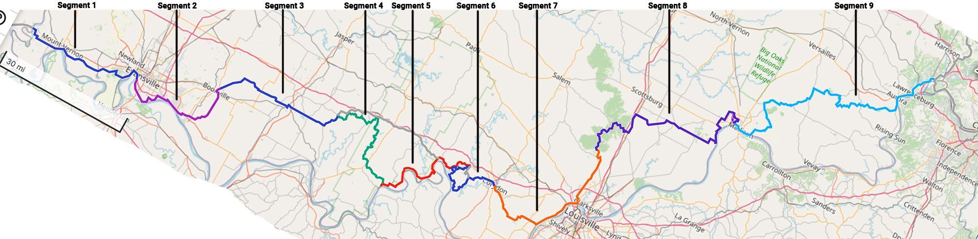
Southern Indiana carries the American Discovery Trail's southern route about 360 miles across the bottom of the state, between the Wabash River at the Illinois line and the Ohio River valley at the Ohio border. It's the hill country of the southern tier: knobs, ravines, and river bluffs, rugged in a way the flat middle of Indiana is not.
The western end sits on the Wabash in Posey County, with the Pigeon Creek Greenway carrying the route through Evansville. The middle is the wooded heart of the walk: Lincoln's boyhood country, the Hoosier National Forest, and the Adventure Hiking Trail through O'Bannon Woods. The eastern third is knob country: the Knobstone Trail through Clark State Forest, the Ohio River bluffs at Clifty Falls above Madison, and the river valley to the Ohio line.
Segment Guides
The Wabash and Evansville
At the western end the trail crosses the Wabash River from Illinois on the Wabash Memorial Bridge, a steel-arch highway span just under a mile long, with no separate pedestrian lane. Posey County beyond it is flat Wabash-bottom farmland. Evansville, the largest city on this stretch, sits on a bend of the Ohio, and the route uses the Pigeon Creek Greenway, a paved multi-use path along the creek through town. East of the city the ground rises into the Warrick County hills around Scales Lake.
Lincoln's Boyhood Country
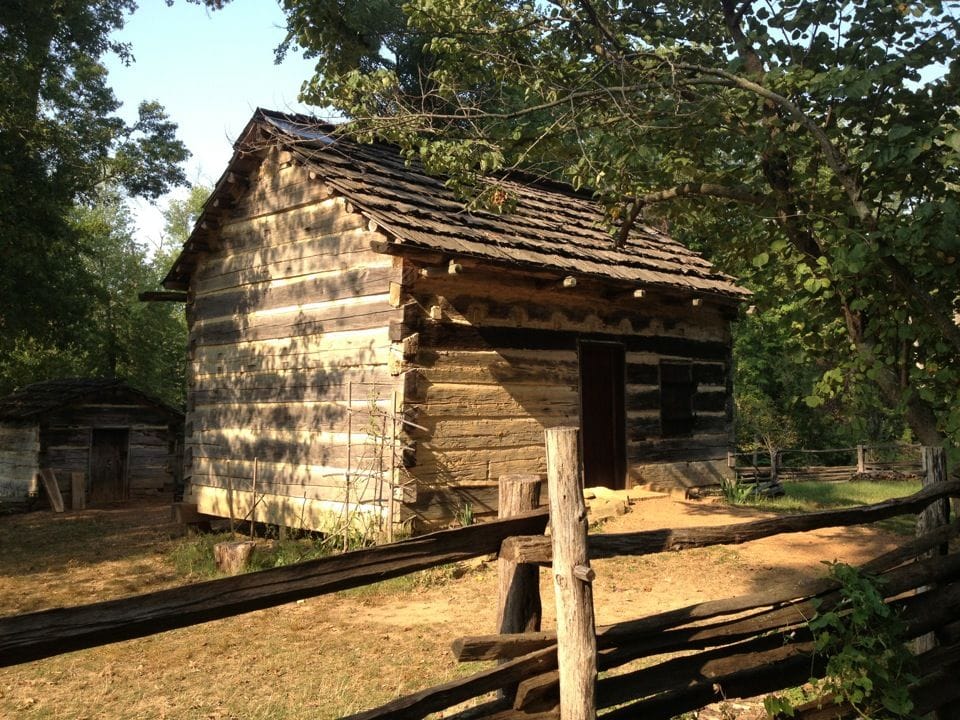
Spencer County is where Abraham Lincoln grew up. He lived here from age seven to twenty-one, and the route passes the Lincoln Boyhood National Memorial (his mother Nancy Hanks Lincoln's grave and the site of the family cabin) alongside Lincoln State Park next door. The town of Santa Claus is a few miles away, a real post-office town that answers children's Christmas mail.
The Hoosier National Forest
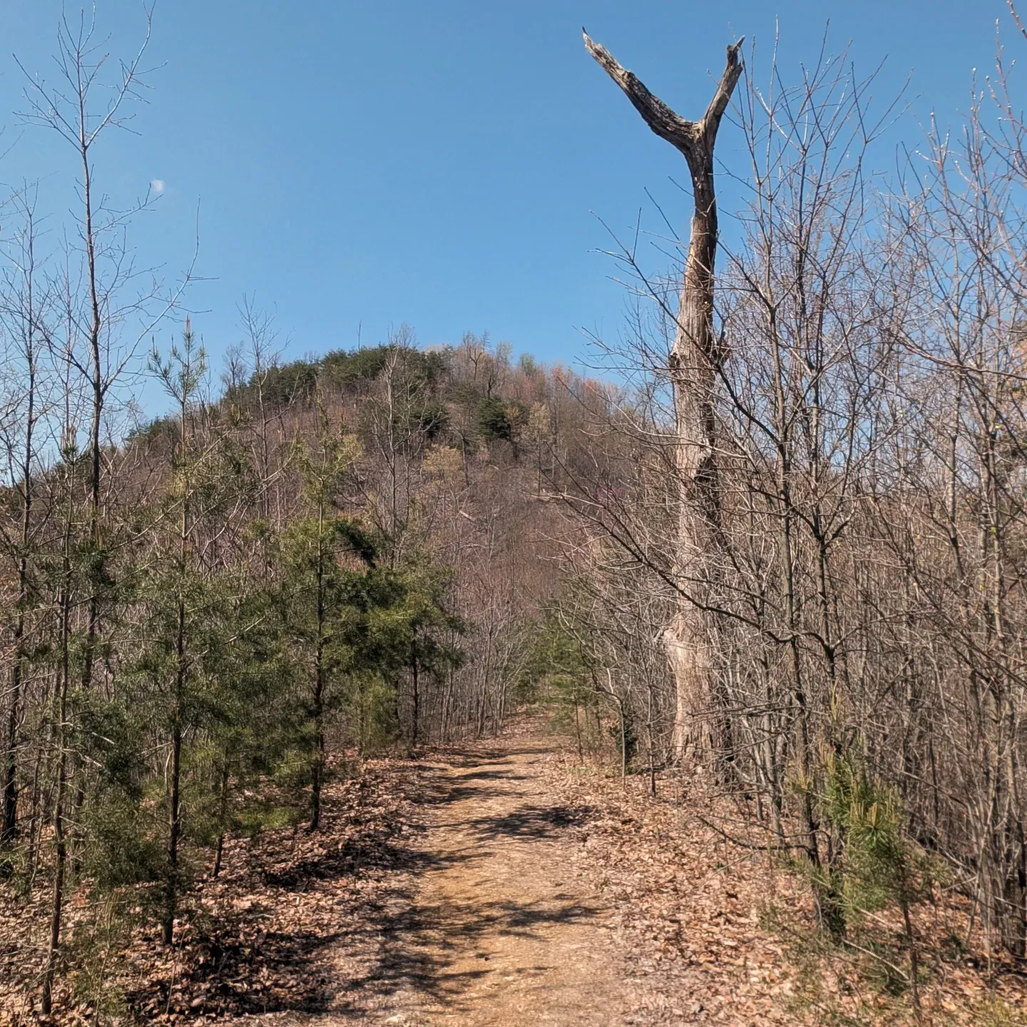
East of Lincoln country the route enters the Hoosier National Forest, the largest block of public land in southern Indiana. St. Meinrad marks the western edge, where the town grew up around Saint Meinrad Archabbey, a Benedictine monastery founded in 1854, its sandstone church visible for miles. Inside the forest the trail links a chain of small lakes and ridges: the Two Lakes Loop around Indian and Celina lakes, Tipsaw Lake, and the Mogan Ridge trails, with forest roads and dispersed campsites between them. Hardwood ridges, few road crossings, and long water carries make this the most remote stretch on the Indiana route. The forest reaches the Ohio River near Derby, where State Road 66 runs the Ohio River Scenic Byway.

The Adventure Hiking Trail and O'Bannon Woods
Near the town of Leavenworth the route joins the Adventure Hiking Trail, a 25-mile National Recreation Trail that loops through O'Bannon Woods State Park and the Harrison-Crawford State Forest, and is itself part of the American Discovery Trail. It's one of Indiana's designated backpacking trails: steep ridge-and-hollow terrain, four backcountry shelters, and high bluffs above the north bank of the Ohio. Wyandotte Cave sits in the same block of forest, and the Blue River cuts through on its way to the Ohio. Corydon lies just east of the loop, Indiana's first state capital, where the 1816 capitol building still stands.
The Knobstone Trail and Clifty Falls
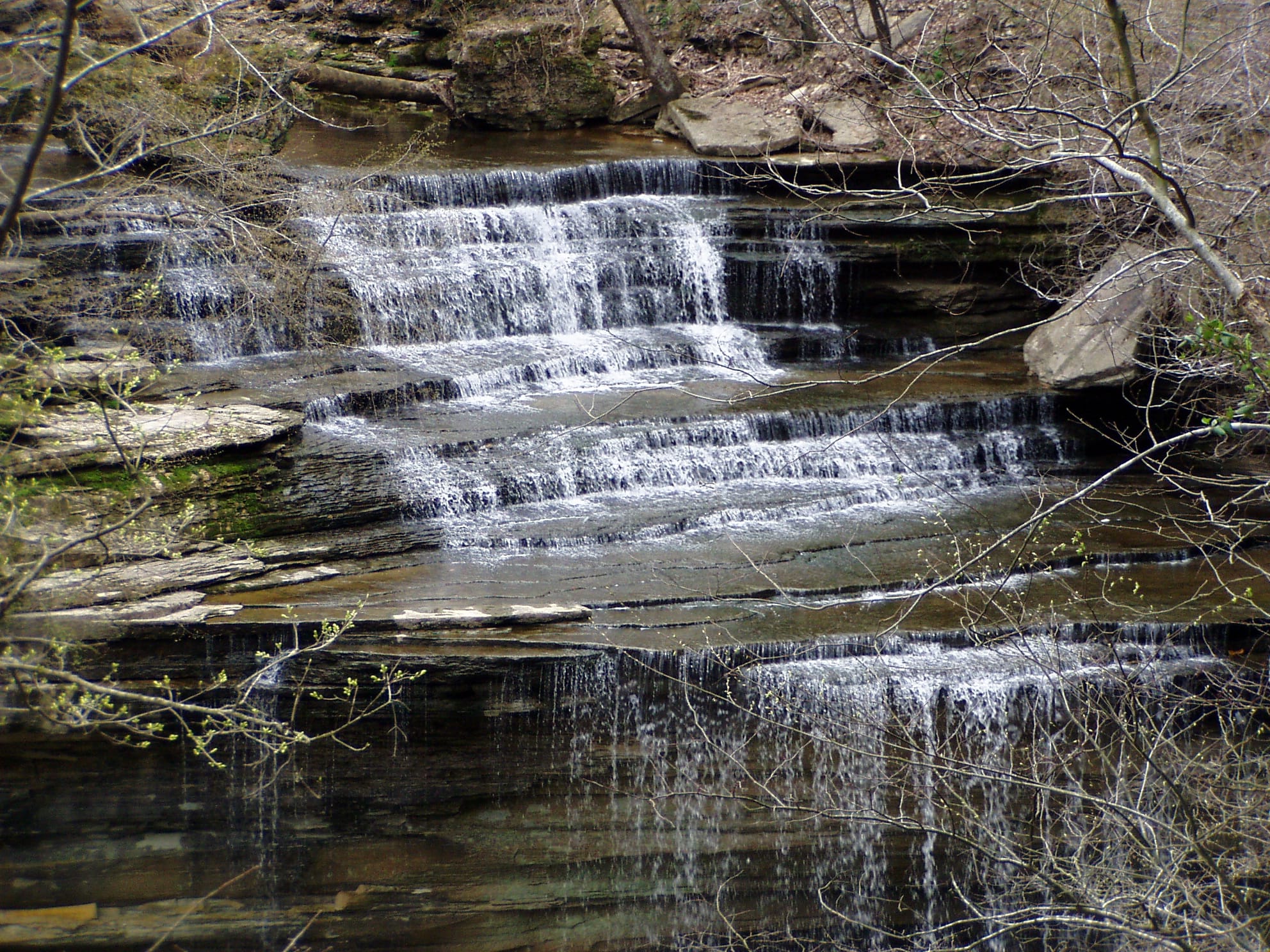
East of Corydon the route runs the developed edge of the Louisville metro at New Albany, on the Ohio across from the city, and the Knobstone Trail begins at Deam Lake. The Knobstone is Indiana's longest footpath, roughly 58 miles of ridge along the Knobstone Escarpment, rugged enough that Indiana hikers use it to train for the Appalachian Trail. The ADT uses its southern end through Clark State Forest, across the knobs and the Bartle Knob country, to Clifty Falls State Park above Madison. Clifty Falls is a deep, wooded canyon dropping to the Ohio, with seasonal waterfalls that run hard in spring and can be dry by late summer.
The Lower Ohio Valley
The lower Ohio River valley holds the final Indiana miles, the longest segment on the crossing and mostly gentle after the knobs. Madison itself is one of the best-preserved nineteenth-century river towns in the Midwest, its downtown a National Historic Landmark District. Downriver, the route uses the Heritage Trail and the Aurora–Lawrenceburg Trail (a paved rail-trail through the old river towns of Aurora and Lawrenceburg) to the Ohio state line at Greendale, where the southern route continues into Ohio toward Cincinnati.
Timing and Terrain
Indiana has no high country to gate a season, but the knobs and forest ridges make it more of a workout than the mileage suggests: short, steep climbs one after another, on the Adventure Hiking and Knobstone trails especially. Summer here is hot and humid, with poison ivy, ticks, and thin water on the ridgetops; spring and fall are the kinder seasons. Streams along the Knobstone run unreliably and can be dry outside of spring, so the forested stretches are where water planning matters most. After heavy rain the creek fords and low bottoms on the backcountry trails come up fast.
Water, Resupply, and Camping
Evansville and the Louisville-metro edge around New Albany have everything; Madison, Aurora, and Lawrenceburg cover the eastern end. The forest stretch (Hoosier National Forest, O'Bannon Woods, and Clark State Forest) is where towns thin out and the carries get longer. Legal backcountry camping is easy to find here: the Hoosier National Forest allows dispersed camping, the Adventure Hiking Trail has four shelters and backcountry sites, and the Knobstone allows primitive camping a mile off the roads. The state parks at Lincoln, O'Bannon Woods, and Clifty Falls anchor the developed nights.
What an Indiana Crossing Looks Like
Two rivers and everything between them: the Wabash on one side, the Ohio on the other, and a spine of knobs and national forest through the middle. Southern Indiana is short on famous names and long on quiet hardwood miles, with a president's boyhood home and one rugged escarpment for the highlights. The walking is honest: not high, not dry, but steeper than flyover-country Indiana has any right to be. 🥾🌲