
'A Cadence My Body Knows to Keep'
Fresh spring field reports from the ADT: Leif Olson completes Utah solo and unsupported, crossing into Nevada with California still ahead. Ohio's Buckeye Trail rebounds. Missouri's Katy Trail updated. Here's what's changed on the ground. 🥾

There's a particular kind of update that arrives in spring — not just trail conditions, but something closer to proof of life. Hikers are moving. The data is getting sharper. And the American Discovery Trail is doing what it always does: throwing surprises at people who are paying attention.
Here's what we've learned from the field over the past few weeks.
Leif Olson
Started: March 26, 2024 - Looking to complete Full ADT
Has completed the Northern, Southern, and Eastern sections.
Support Links: Instagram, BuyMeACoffee
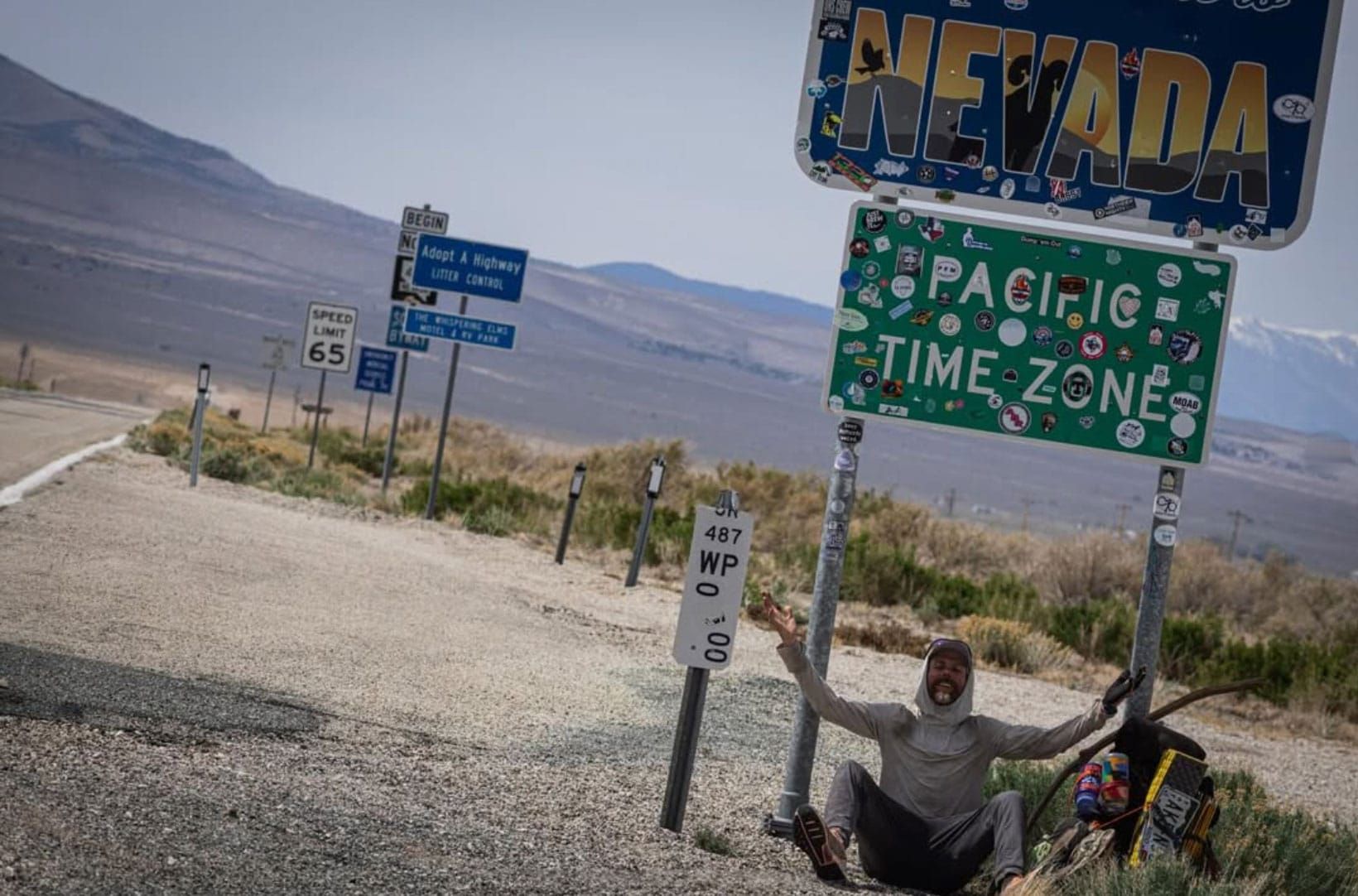
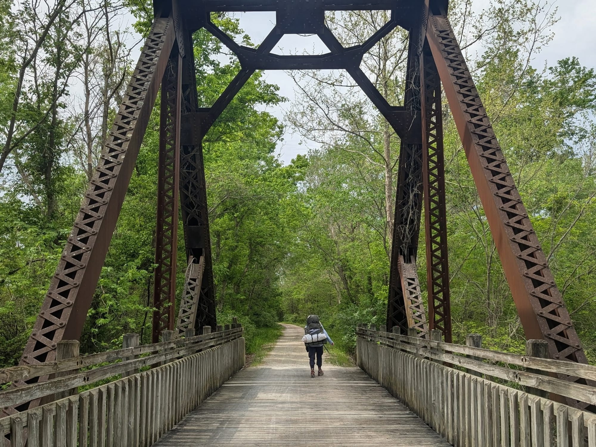
Leif Olson Completes Utah
Some questions about the American Discovery Trail get asked so often that they start to feel settled. The Utah desert section is one of them. Can it be done without water caching? Without support? Without alternates?
It can — and Leif Olson just proved it again.
Leif crossed the Utah/Nevada border this week having completed Utah entirely on his own terms — no caching, no support, no alternates. Most ADT hikers rely on water caching services available through the ADT's Utah Coordinator early in the season, and that's a completely sound choice for the terrain. But there's another way through, and Leif took it.
Leif began his ADT thru-hike in March 2024, completing the eastern, northern, southern, and much of the western section before pausing in February 2025. He returned this spring to finish what he started, with Nevada and California still ahead before the Western Terminus at Limantour Beach, California.
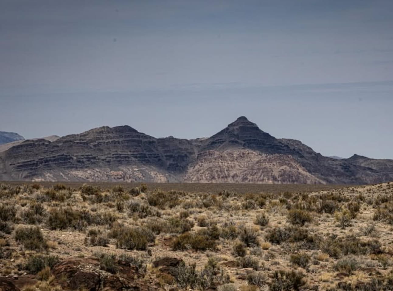
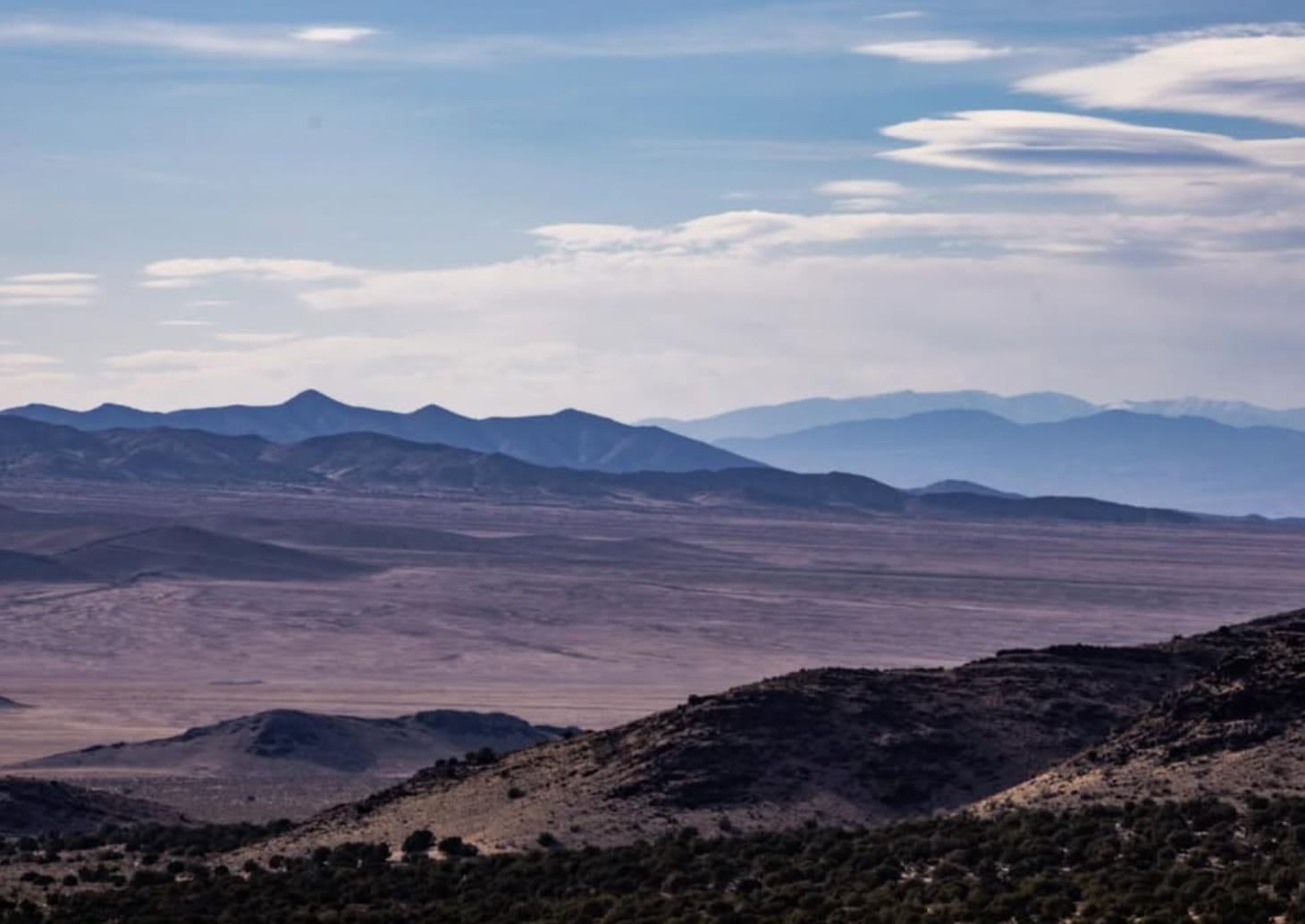
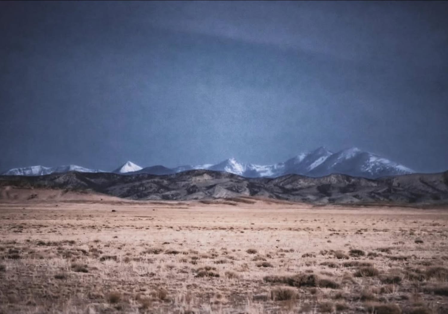
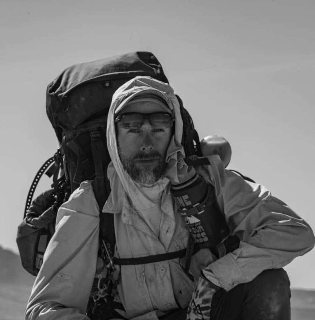
The landscapes of Utah. Photos: Leif Olson
His account of those final 100 miles in Utah is worth reading slowly:
"No support needed. No caching of any kind needed. No alternates needed. I hiked this trail true, as I have for the whole of the American Discovery Trail. I asked the landscapes to hold me close, to guide my path and reaffirm my faith. The stillness I encountered in these last 100 miles brought me to a state of near constant meditation as time began to wrap and warp. I see a crow drifting along the currents, but only silence; the scurry of a lizard, timeless. I feel the very same currents lift my feet and I begin to fly, weightless. I drift from one theatre to the next to cross one desert valley after another surrounded by knobby mountain peaks, I pass between and begin anew, such ceaseless rhythm, a cadence my body knows to keep."
There's navigation data, and then there's this. Both matter.
Ohio's Buckeye Trail: A Rehabilitation Story
Last year, hikers reported significant challenges at Tar Hollow State Forest damage — overgrowth, faded blazes, and difficult going. It was a legitimate concern, and we flagged it accordingly.

Renae Gupta
Westbound
Began February 26, 2026 - Cape Henlopen, DE
Support Links: ImHikingAmerica, Instagram, Facebook, GoFundMe
Renae Gupta just came through the same area this year and found a completely different trail.
"Route was well-trodden, fresh blue blazes, no overgrowth. Very easy to navigate now."
The Buckeye Trail volunteers clearly put in the work to get that section back in shape — and hikers are already benefiting from it. We've pulled the previous condition warnings from the Tar Hollow waypoints.
Also in Ohio: Renae flagged a section of the Buckeye Trail near Richmond Dale in the Scioto Section as extremely overgrown and heavily infested with Copperheads 𓆙 👀 — confirmed by multiple locals. We've added an alternate route to our Gaia GPS data. If you're a Hiking America subscriber, that update is already in your data.
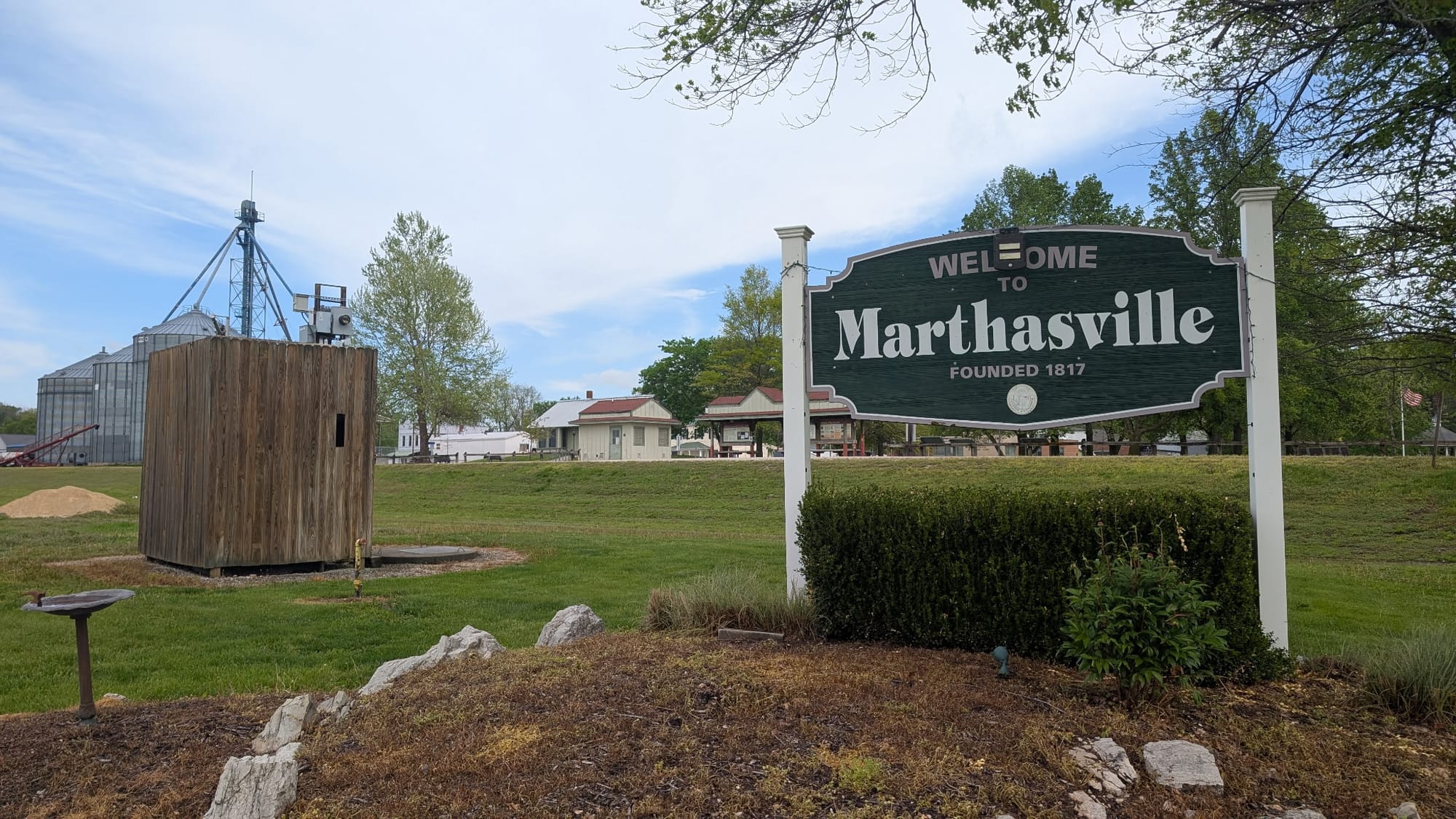
Missouri Updates: Katy Trail and Marthasville
Rhiis and Sara have been working their way through Missouri on the Katy Trail and filing solid updates all along the way.
Rhiis & Sara
Westbound - Eastern, Northern & Southern Routes
Began: February 21, 2025 - Cape Henlopen, DE
Paused: November 5, 2025 - Julesburg, CO
Restarted: March 10, 2026 - Illinois/Indiana Line - Southern Route
Support Links: ImHikingAmerica, TrailJournals, YouTube, Venmo
In Marthasville, they've confirmed current services — where to eat, sleep, charge your phone, and resupply. Those waypoints are updated. They also flagged a relocated business: Treloar Bar & Grill moved to a new location after a flood damaged the original site. Locals call it a must-stop, and Rhiis and Sara confirmed it was packed when they came through — full bar, pizza, sandwiches, daily specials.

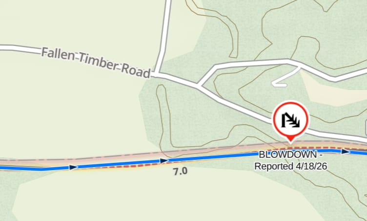
On the Katy Trail, they discovered, and photographed, a fallen tree across the trail's bridge over, ironically, Fallen Timber Road. They actually came across a whole series of blowdowns from a storm the night before. We've sent the coordinates of their locations to the Missouri Dept of Natural Resources for follow-up.
They also stumbled onto something worth noting in Wessel Park: a small wooden shack and historical marker commemorating Lewis and Clark's stops at Charrette Village in 1804 and 1806.
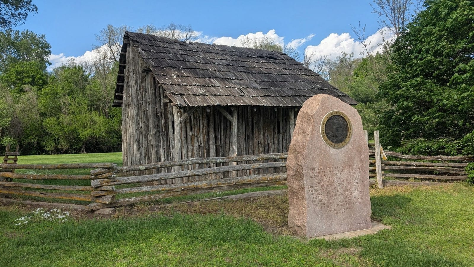
The marker notes that the village "in 1804 was the frontier of westward settlement on the Missouri River." It's a quiet little 'Discovery' on a trail full of them.
Spring is when the ADT comes back to life, and this year it's coming back strong. Hikers on the ground are doing the work — filing updates, pushing through desert and rehabilitated forest alike — and the data gets better because of it.
If you're a Hiking America subscriber, your Gaia GPS data reflects all of these updates. If you're still in planning mode, this is what active, continuously updated trail intelligence looks like in practice.
The trail is moving. Are you? 🥾