
Bernie's Week 3: Ohio's Rail-Trails, Amish Country & 230 Miles
Week 3 on the Great American Rail-Trail: flood detours on the Ohio and Erie Canal Towpath, Amish women on E-bikes in Holmes County, morels found mid-hike, and a chance encounter with a biker heading to the Pacific. Bernie Krausse is 230 miles deeper into Ohio. Still moving.

Photos by Bernie Krausse
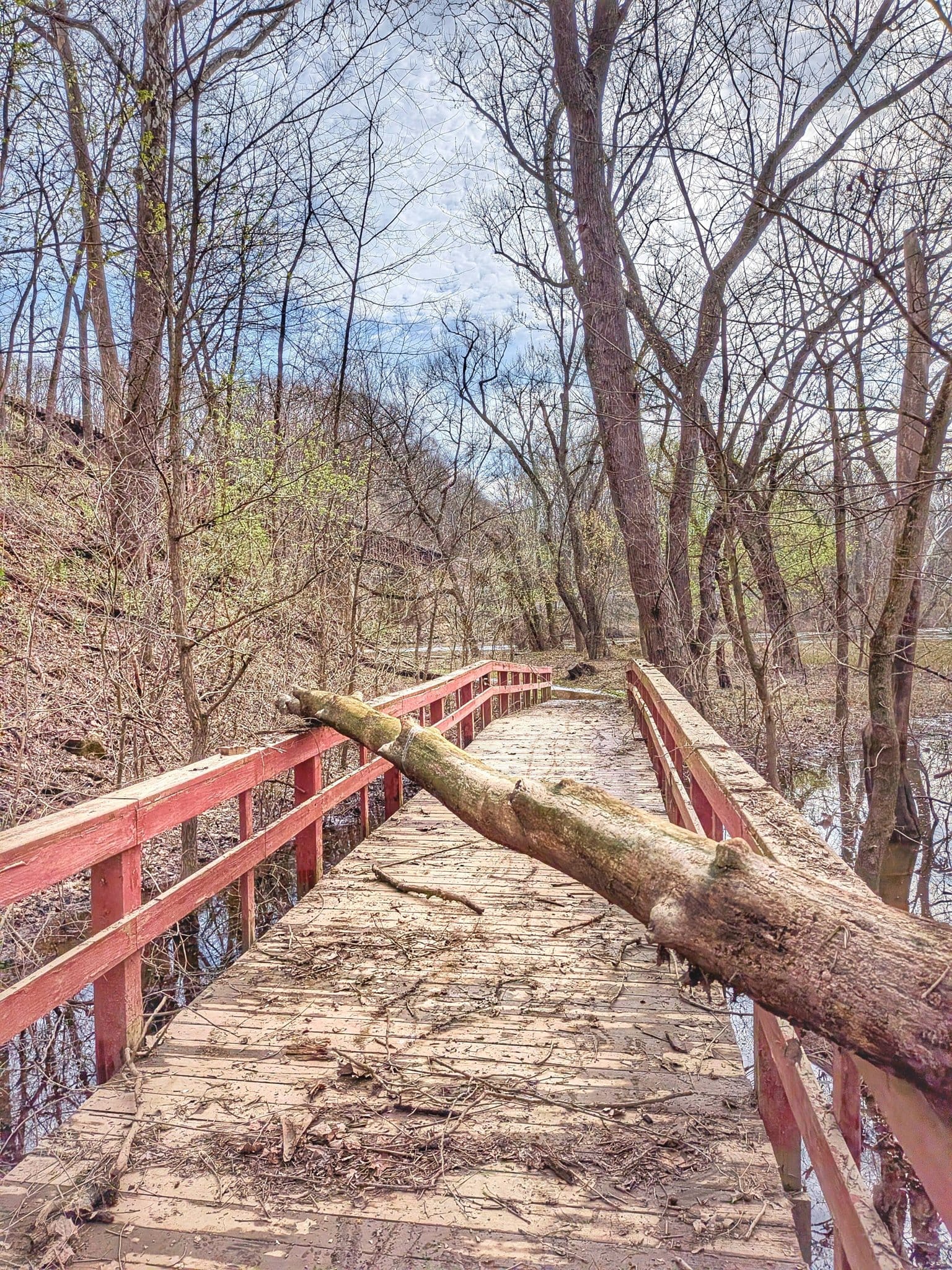
There's a moment Bernie Krausse's third week on the Great American Rail-Trail that stuck with me. He was hiking through the tangled, downed-tree mess near Leesville Lake in eastern Ohio — a stretch of the Buckeye and North Country National Scenic Trail that clearly hadn't seen maintenance in some time — and he found himself genuinely frustrated.
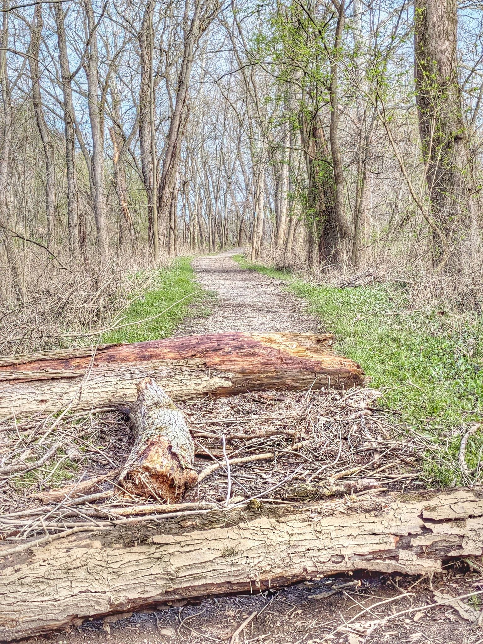
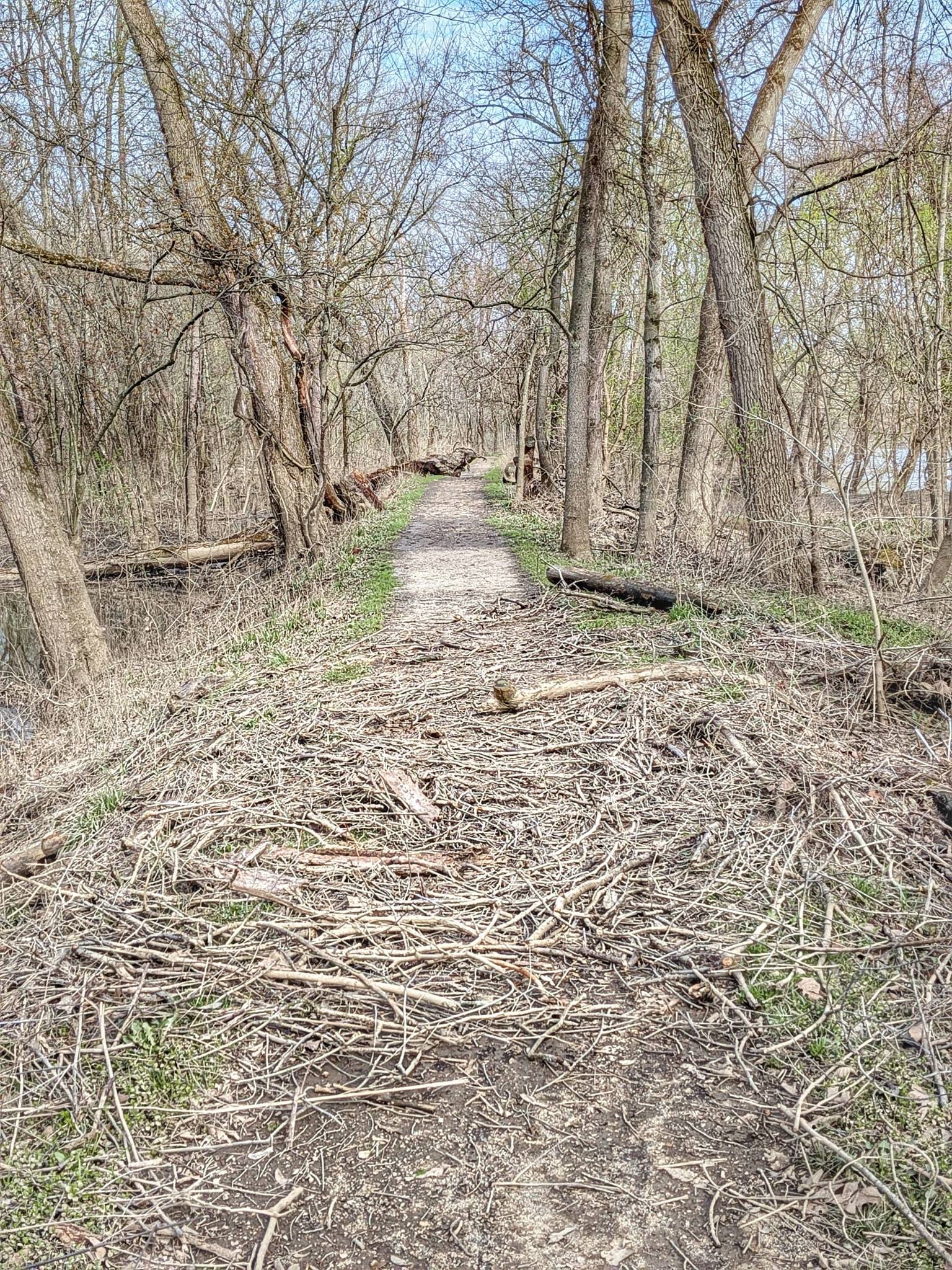
The kind of frustration that comes from caring about a trail, not from being inconvenienced by one.
Then a car pulled up. The driver introduced himself as Rick. It was his first day volunteering to clear that exact deadfall.
Bernie made a wish, and someone pulled up to fulfill it. That's Week 3 in a nutshell. 🌲
This past week — April 11 through 17 — Bernie covered roughly 230 miles through central Ohio, crossing from Harrison State Forest all the way into London, Ohio, just west of Columbus. Seven days. Seven 30-plus-mile days. And more encounters with people, trail culture, and terrain variety than most thru-hikers see in a month.
Flood detours, road walks, and real-time rerouting
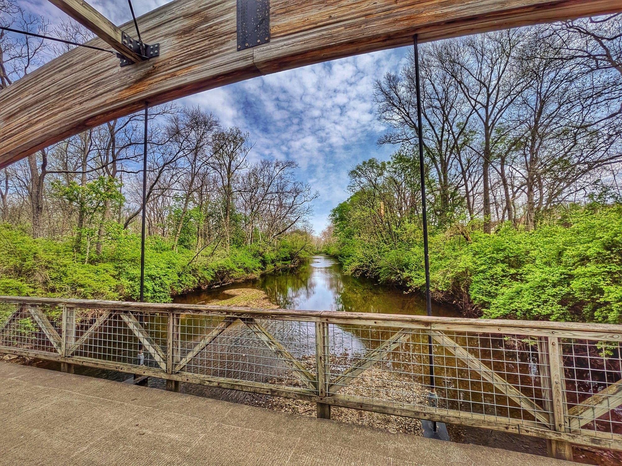
By Day 16, the Tuscarawas River was already running well above its normal waterline from heavy rains the previous week. A birder with a 600mm Nikon lens gave Bernie the backstory: the flooding had peaked the Wednesday and Thursday before, and in the opinion of at least one local observer, the dams hadn't released water when they should have. Benches and boardwalk sections along the Ohio and Erie Canal Towpath were visibly submerged.
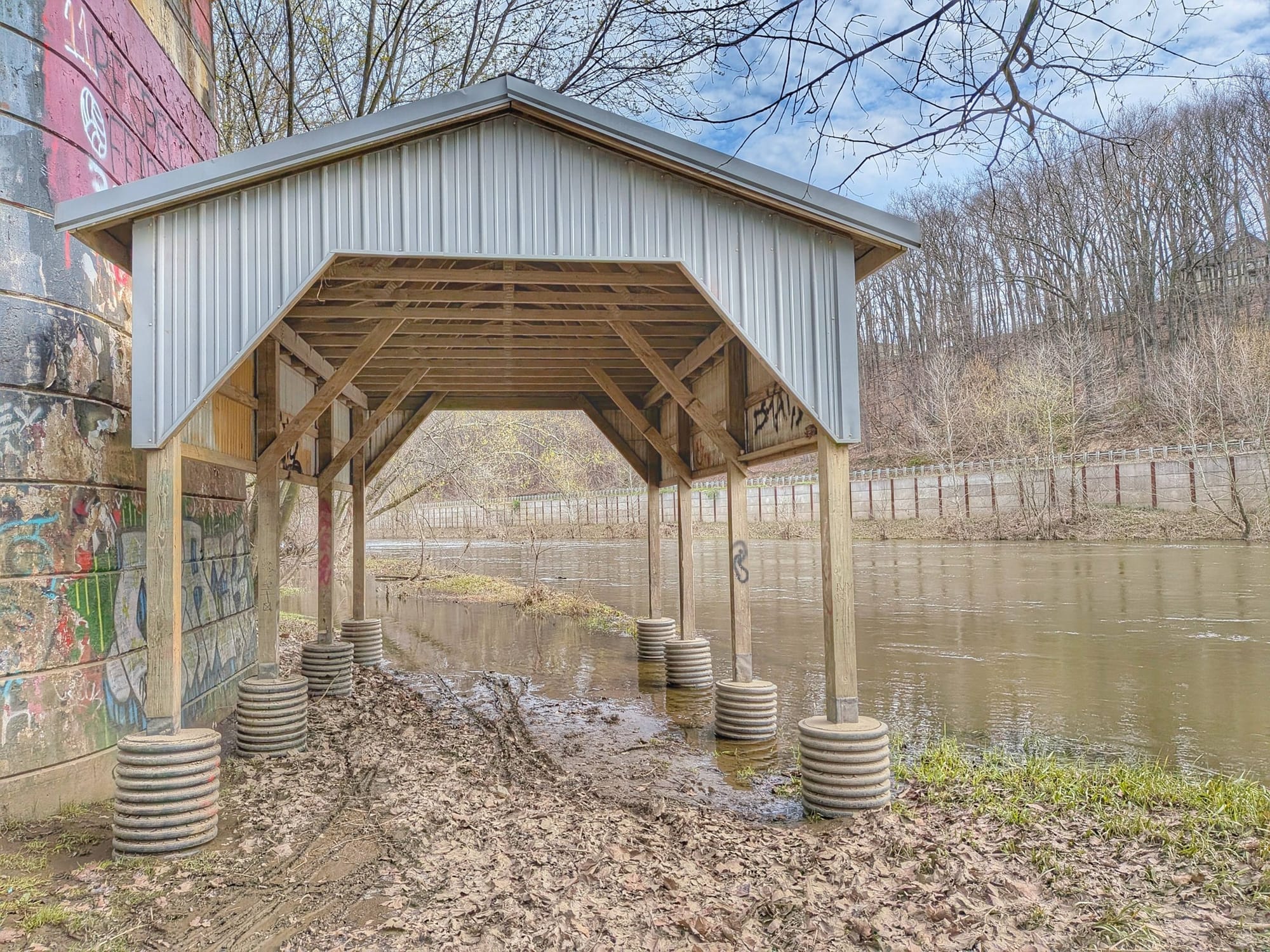
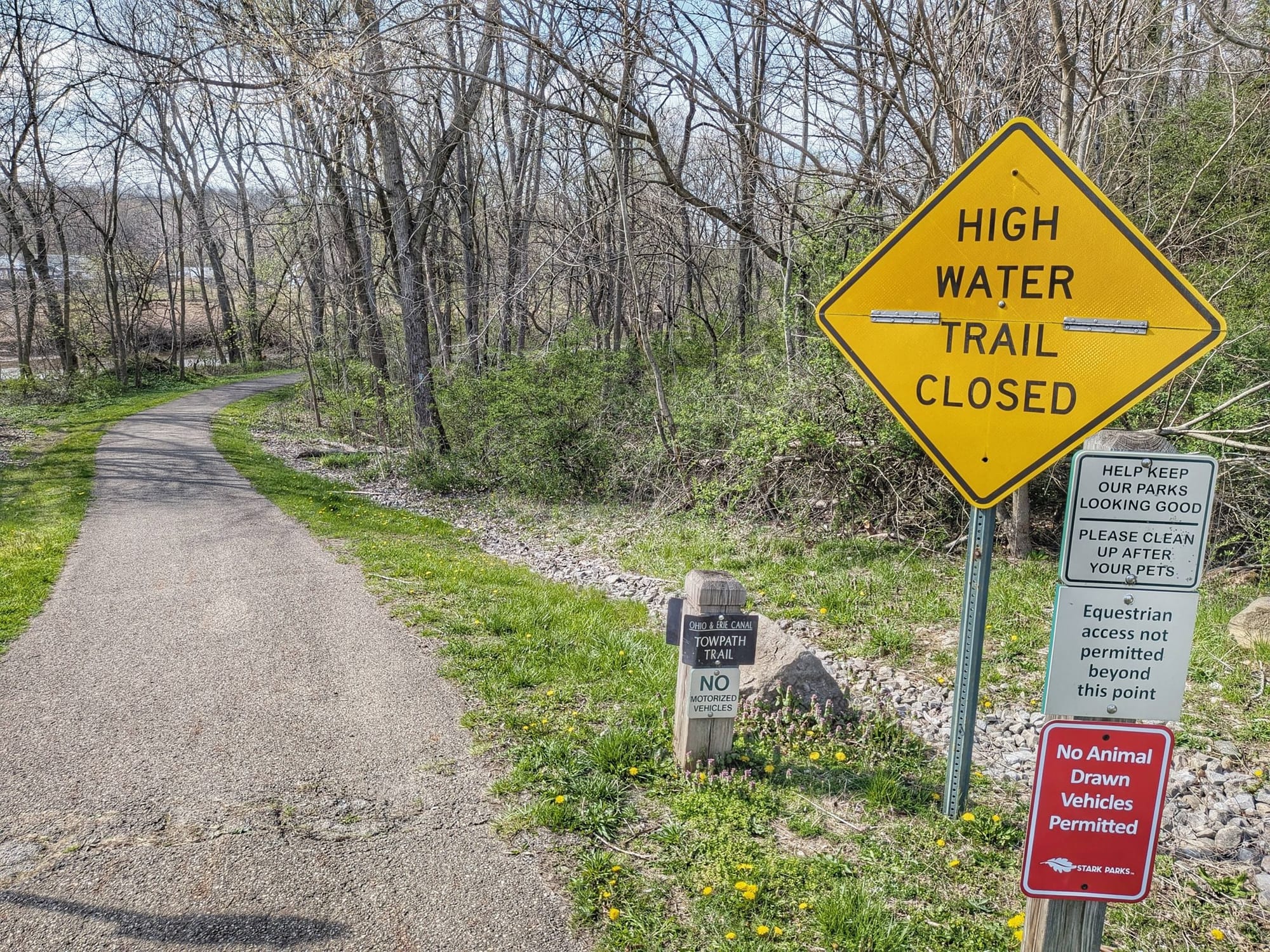
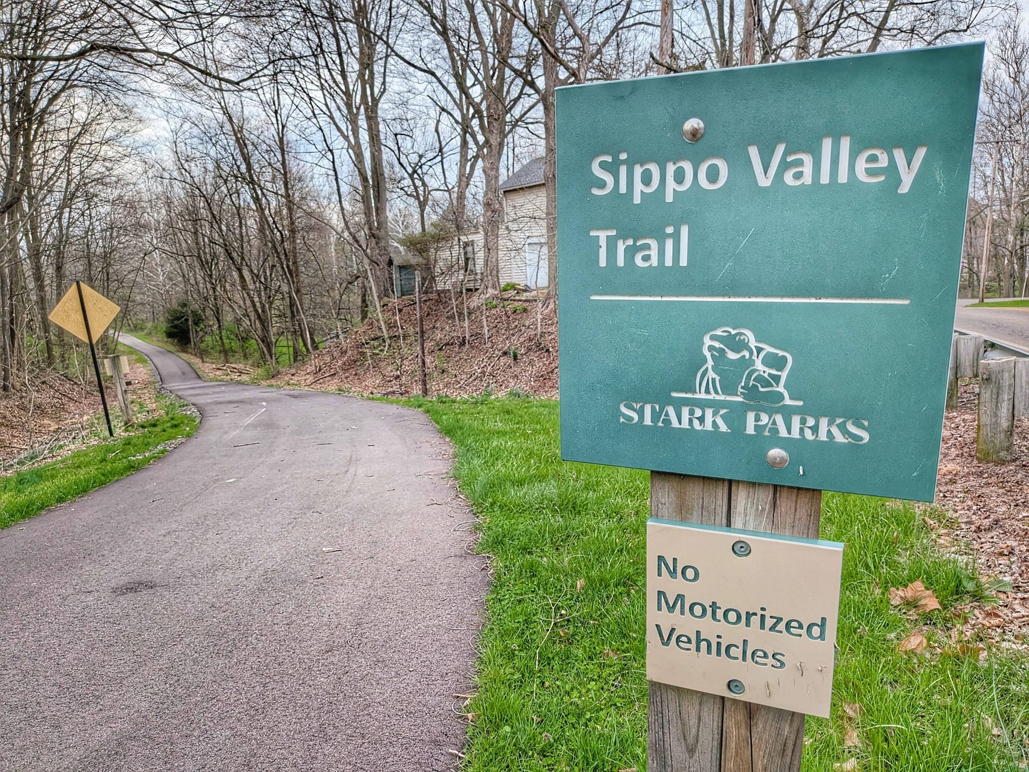
Bernie pushed on toward Massillon, where a trailhead sign confirmed what he'd suspected: the Canal Trail was closed due to high water. A 4.5-mile road detour redirected him to the Sippo Valley Trail. Before he got there, he stopped at a garage where a guy was working on his Camaro — covered in Harley Davidson tattoos — and asked if he could fill his water bottles. The man handed him two pints of ice-cold water instead.
Holmes County: The most unexpected rail-trail experience on the route
Day 17 carried Bernie into Holmes County, Ohio — home to the largest Amish population in the world. What followed reads like something from a different century, except for the E-bikes.

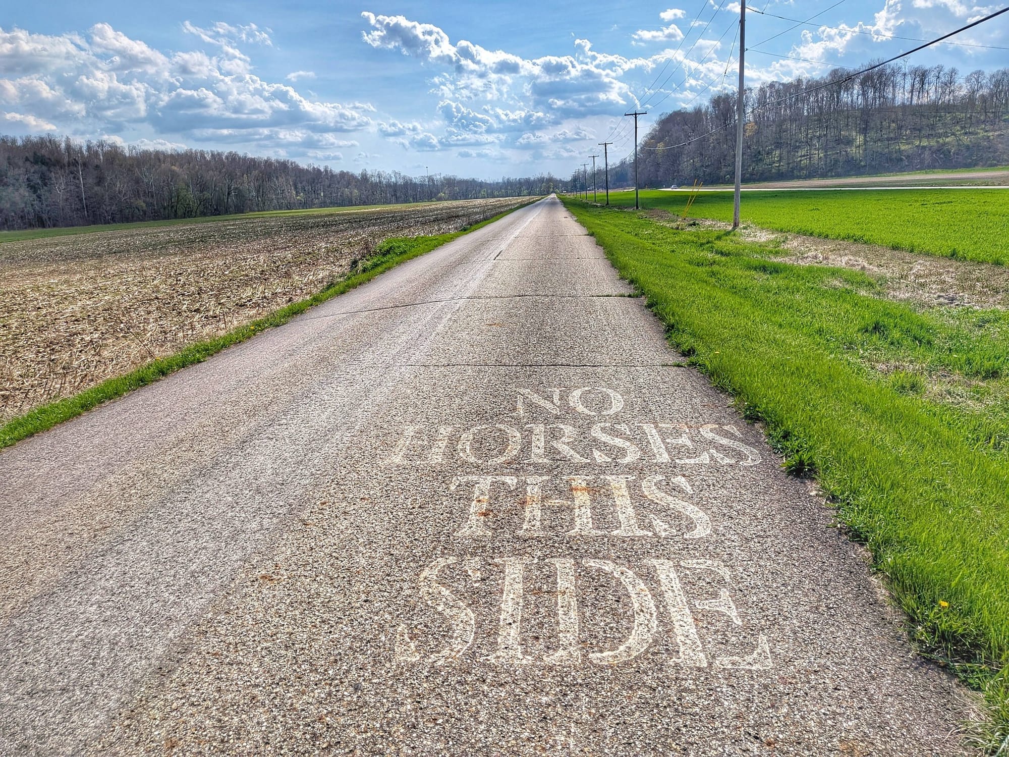
On the Holmes County Trail, one lane is paved for cyclists. The other is packed gravel for horses and buggies. Senior Amish women in yellow safety vests cruised past on electric bikes with side storage compartments. A team of horses plowed a corn field while, a few hundred yards away, farmers sprayed last year's crop with liquid manure. Boys in suspenders played outside a one-room schoolhouse. Girls in prairie dresses were inside. And then there was Bernie — what he called "the transient legal alien that grounds himself in peace" — walking through all of it.
The Holmes County Trail is currently being extended west of Killbuck, and the new paved section is essentially road-grade infrastructure. No benches yet, no picnic tables, but the surface is clean, and the route is well-signed. This is good news for future hikers: the gap that currently requires a three-mile road walk near Killbuck is actively being closed.

Trail angels, morels, and a sketch at Wendy's
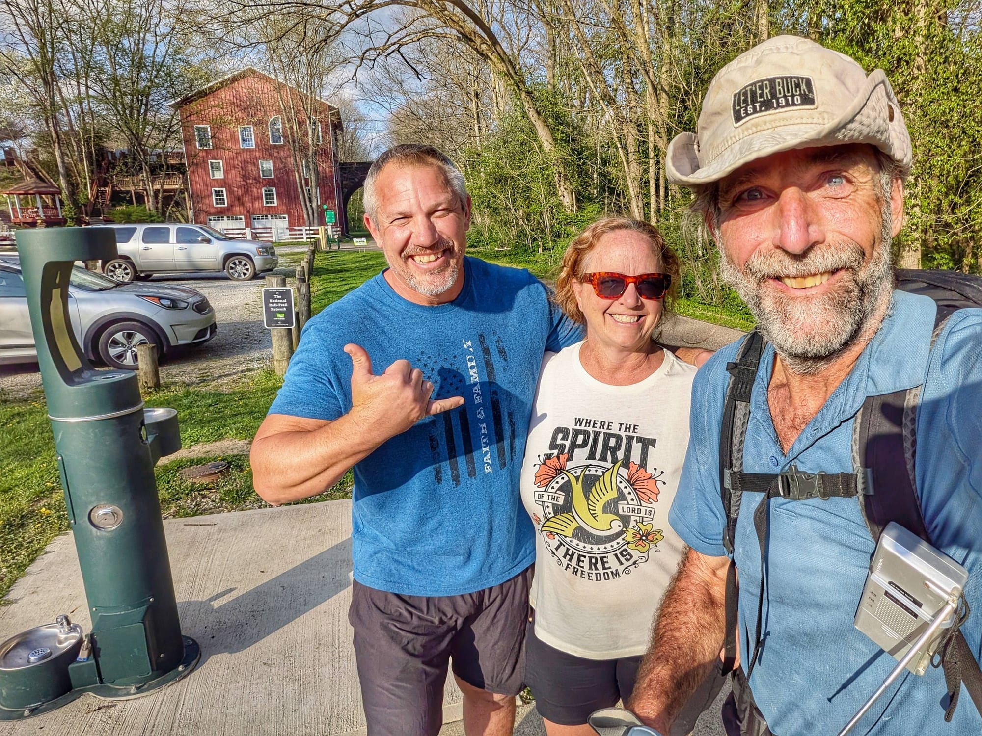
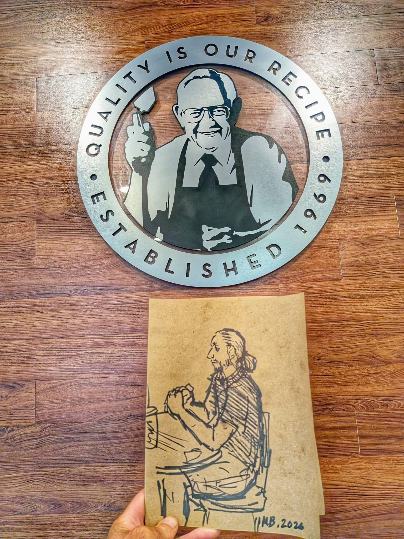
Week 3 had a running theme of unexpected generosity. In Howard, Bob and Christy offered a $40 donation toward meals. In Westerville, a Wendy's manager comped Bernie's breakfast after hearing what he was doing while another employee sketched him sitting at a plastic booth recharging his phone for the next push.
On Day 19 near Centerburg, Bernie found himself talking trail with a high school junior named Alex who was out running track practice. Alex said he wanted to hike the Appalachian Trail someday and had stopped to talk. They walked together for twenty minutes. Bernie didn't offer advice so much as presence.
And yes — he found morels. Yellow ones. Two groups of locals were hunting them, and Bernie joined the search. 🌲
Bill, the cyclist heading to the Pacific
Day 20 brought one of the best random encounters of the week.
Bernie Krausse
Great American Rail-Trail - Westbound
Started: March 28, 2026
Support Links: ImHikingAmerica, Facebook, Venmo, PayPal Donate
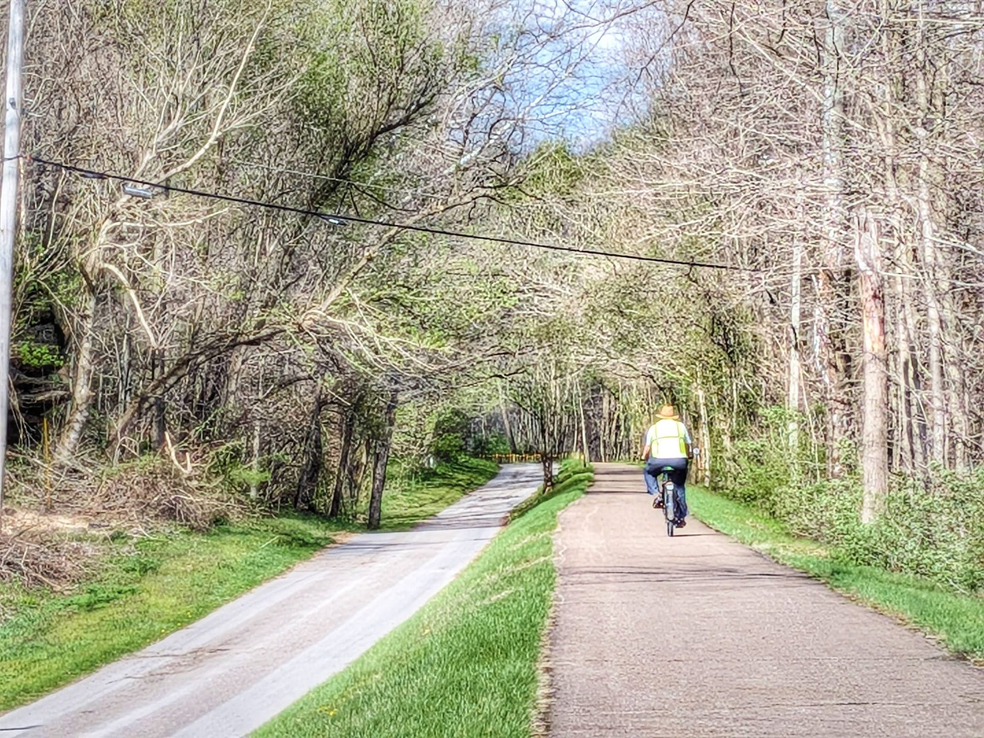
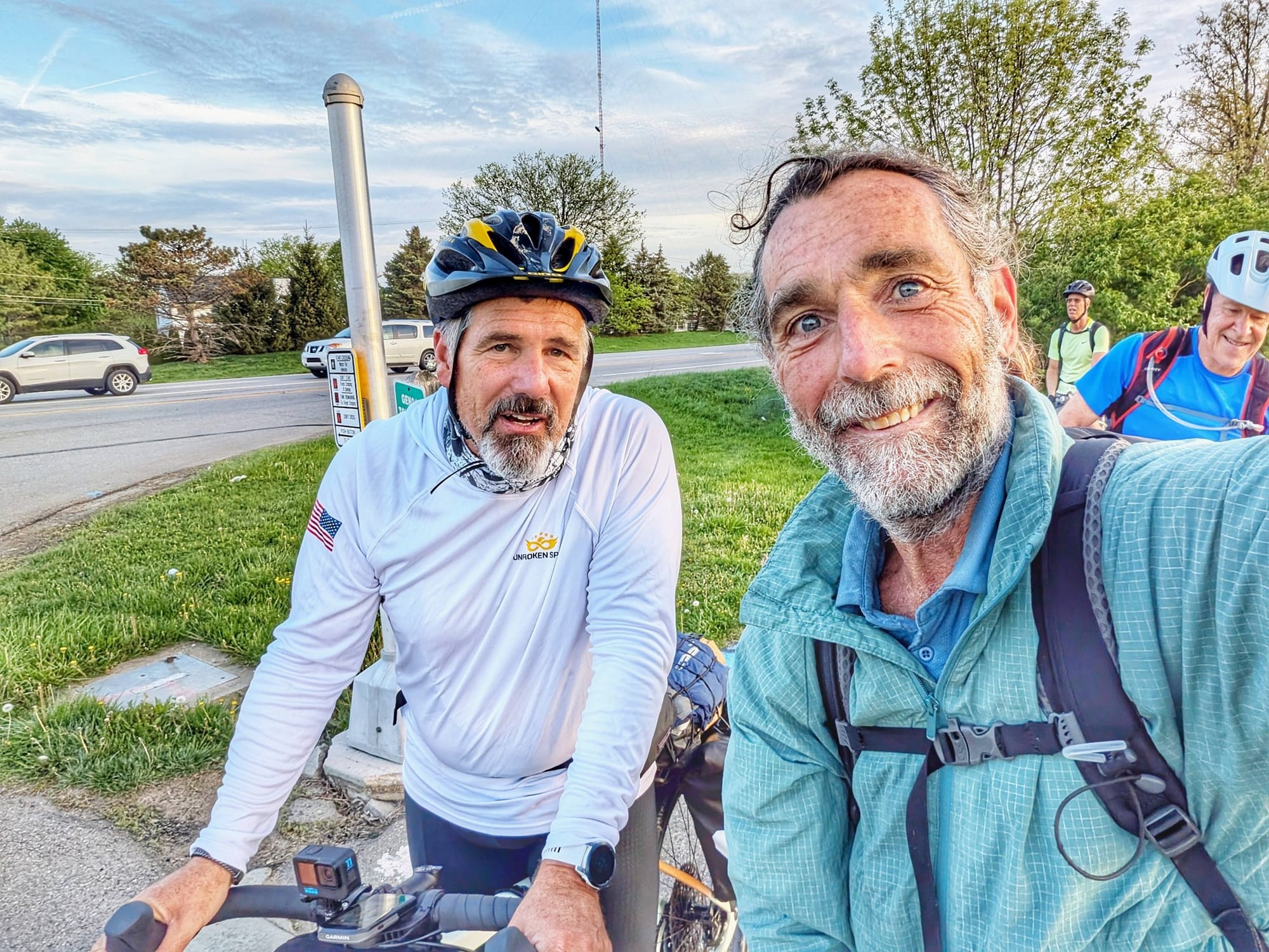
At a traffic light in Westerville, a cyclist (above) pulled up and noticed Bernie's pack and Hiking America shield. He asked where Bernie was headed. Bernie told him: 3,700 miles to the Pacific on the Great American Rail-Trail.
The cyclist's jaw dropped. So am I, he said.
Bill had started in North Carolina and was riding 70-plus miles a day, also headed to La Push, Washington. The light turned green. The moment lasted less than a minute. But it was a good reminder that this trail — still young, still finding its people — is already drawing the kind of hikers who finish things.
Here's the hiker's version.


Columbus and out
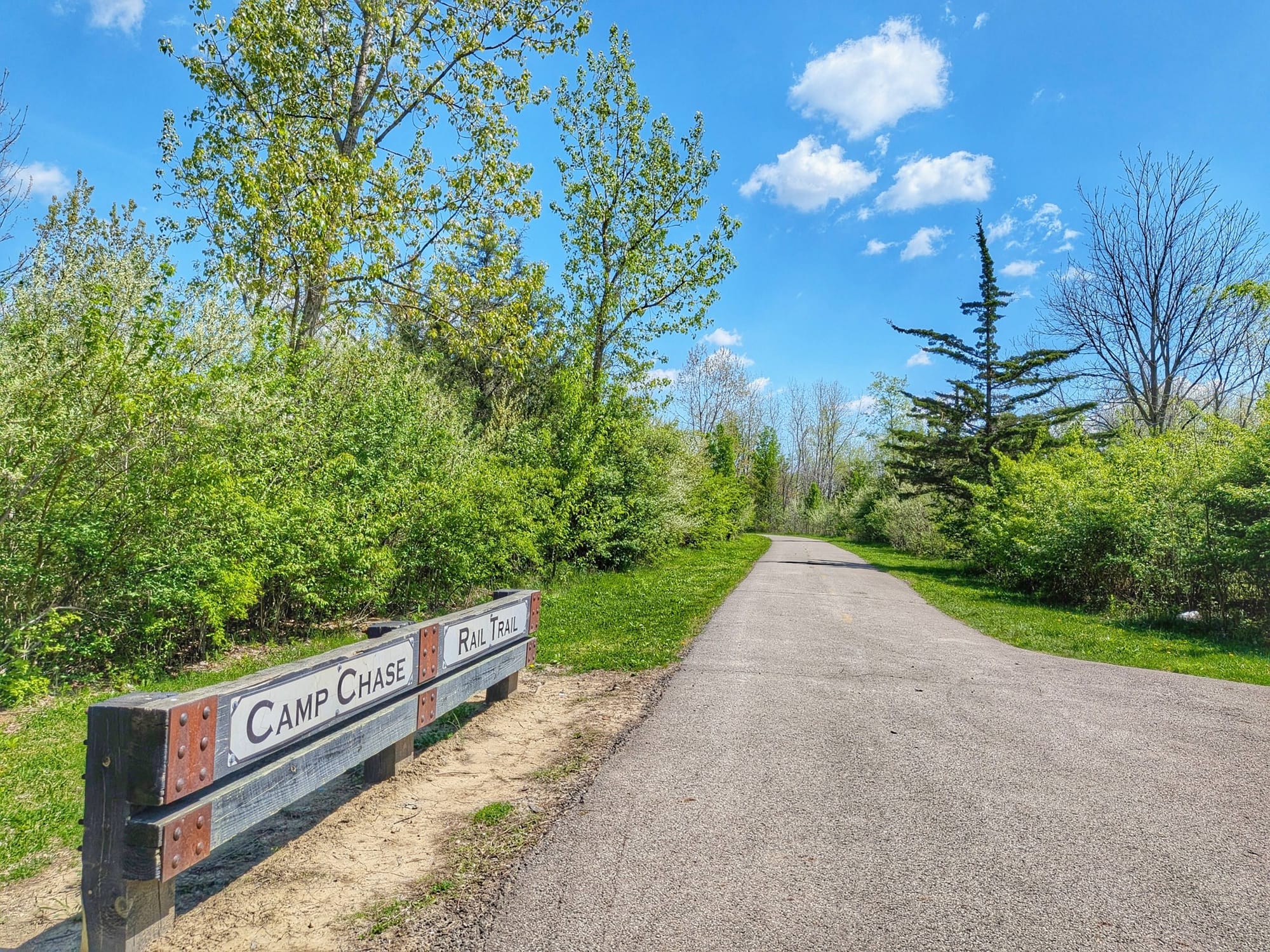
Days 20 and 21 navigated Bernie through the Columbus metro area via the Alum Creek Trail and Scioto Trail, then out the other side via the Camp Chase Trail and into rural central Ohio. He noted the city felt clean and organized but quiet. Once past the city limits, the trees got noticeably bigger and healthier almost immediately.

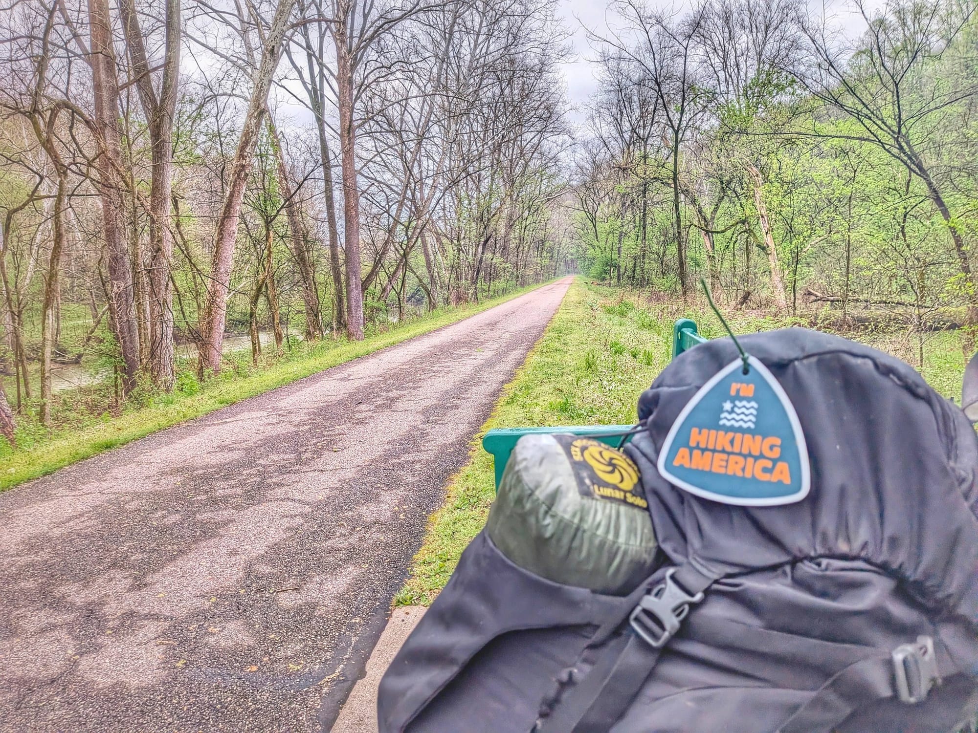
He finished Day 21 in London, Ohio, at the city's free Trailside Camp Area — 33 miles for the day — with trail angels picking him up the following evening.
Week 3: 230 miles. Ohio from east to west. Still going.
Ohio is one of the most complete states on the Great American Rail-Trail — and also one of the most instructive for understanding what a hiker actually needs vs. what a cyclist needs. If you're planning your own journey, our Great American Rail-Trail hiker's guide is the place to start. 🥾
Already a Hiking America Subscriber?
The Great American services layer is included in your existing subscription — no additional charge. As we build out the data during Bernie's verification hike, it'll automatically appear in your Gaia GPS alongside your American Discovery Trail waypoints.
SUBSCRIBE TO HIKING AMERICA
A Hiking America subscription gives you access to our complete navigation data for both the American Discovery Trail and the Great American Rail-Trail — GPS tracks, service waypoints, turn-by-turn guides, and real-time trail updates. All for one subscription.
$7/month or $70/year — cancel anytime.
GET THE FREE GPX TRACKS
Or start with our free Great American GPS tracks and see what Hiking America is all about.

Hiking America Custom Hang Tag
Recognized by trail angels, hostels, and fellow hikers nationwide!
Get your Custom Hiking America Hiker Tag!
Only $19 for a Limited Time!
Always Free to Hiking America Members.
