
Navigating Wildfires While on the American Discovery Trail: Essential Tech Tools for Hikers
How to stay safe while hiking the American Discovery Trail amidst wildfires with Gaia GPS's satellite detection and fire boundary overlays.

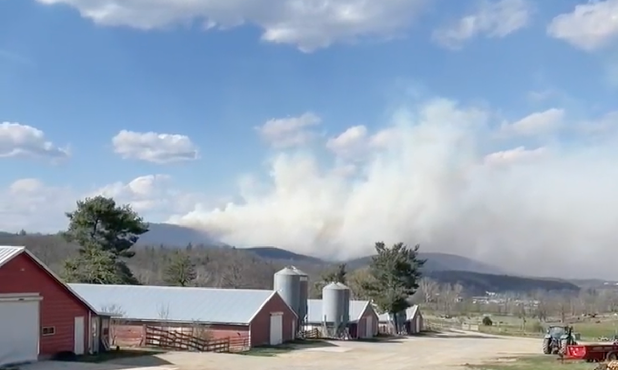
This week, a rare mix of low humidity and strong winds has touched off several wildfires across West Virginia, presenting a significant concern for those embarking on the vast stretches of the American Discovery Trail.
While the fires are currently located way south and east of the ADT's path, it's crucial to know how to stay ahead of these natural events through real-time information and preparation.

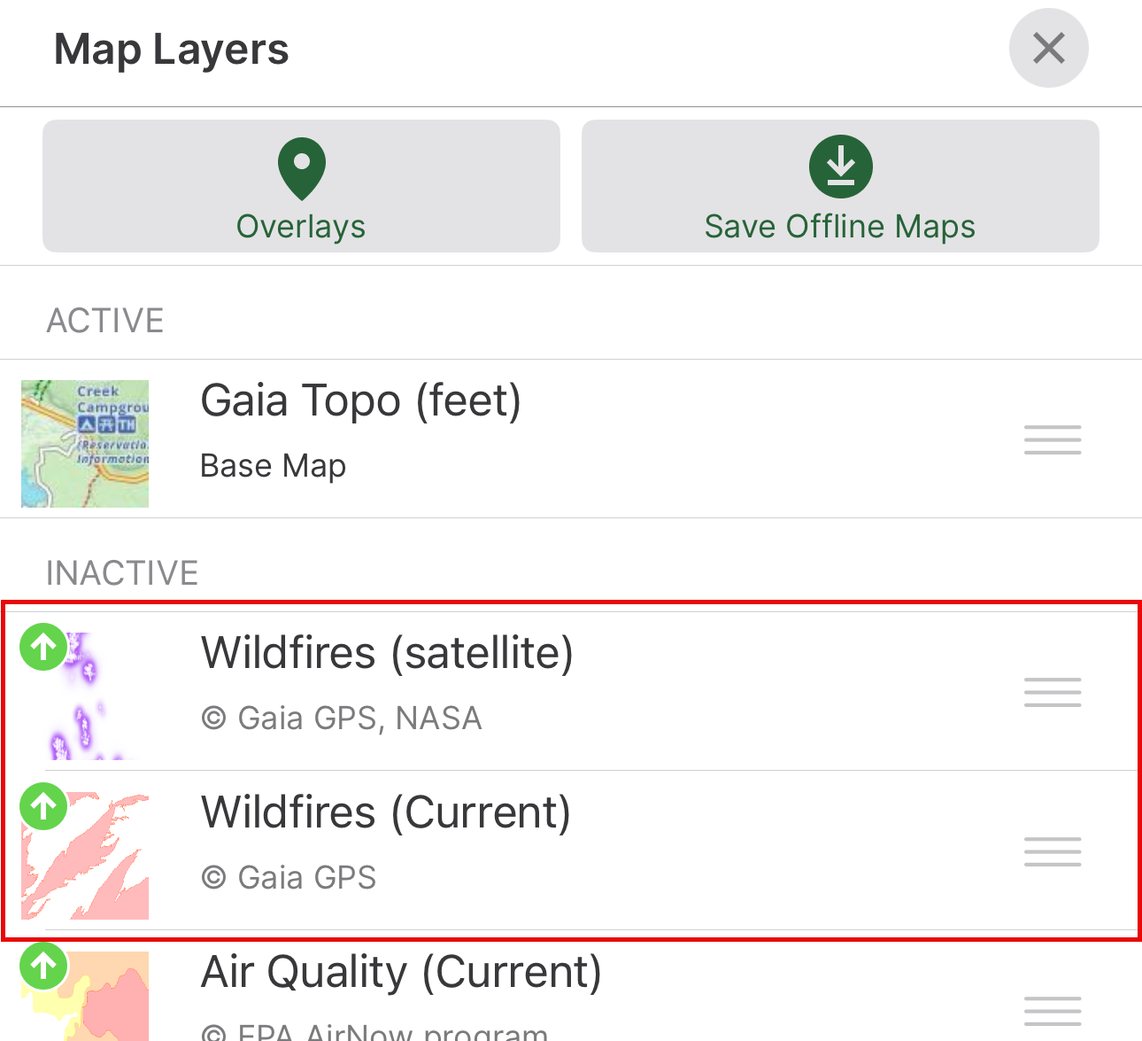
We have housed Hiking America's data on Gaia GPS because of its powerful array of overlays and maps. Two in particular are incredibly helpful regarding wildfires ... and both are available on the FREE version of Gaia GPS.
Satellite Detection: NASA's Contribution to Hiker Safety

The first is a satellite detection overlay, a marvel of modern technology courtesy of NASA. The purple dots on the map indicate hot spots. This tool is updated several times daily, providing hikers with a visual representation of wildfire spread and intensity. However, it's important to recognize that not every signal picked up by this layer indicates an active fire; some may be thermal anomalies from sources like industrial flares. Despite this, the satellite detection layer remains pivotal in identifying and avoiding active wildfires.
Mapping Out Fire Boundaries
Complementing the satellite detection tool is another critical overlay developed by TrailBehind, the creator of GaiaGPS. This layer offers up-to-date information on fire boundaries, utilizing data directly from fire agencies. While it's updated once daily, hikers should be aware that the nature of rapidly spreading fires means some information may lag slightly, potentially missing recent outbreaks. Nonetheless, this resource is invaluable for anyone navigating or planning hikes in or around potential fire zones, offering a layer of safety and informed decision-making.
Again, both of these essential tools are available through the free version of Gaia GPS, making them accessible to all hikers. As conditions can change swiftly, these technological aids can be the difference between the hike of a lifetime and a hazardous situation.
Hike Your Hike - John.

