
Behind the Waypoints: A Rare Look at How Hiking America Builds Its Trail Data
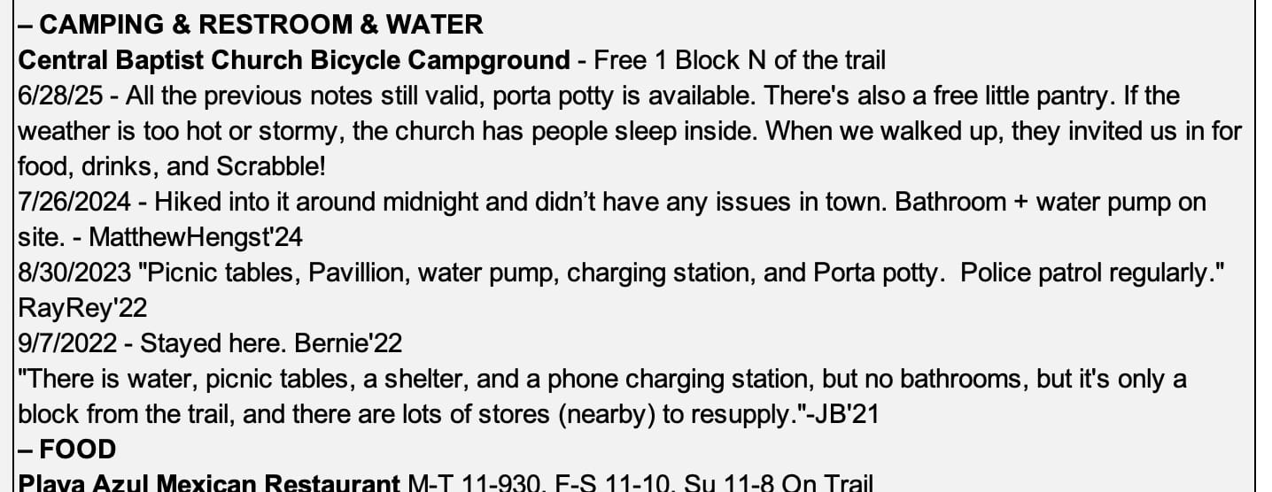
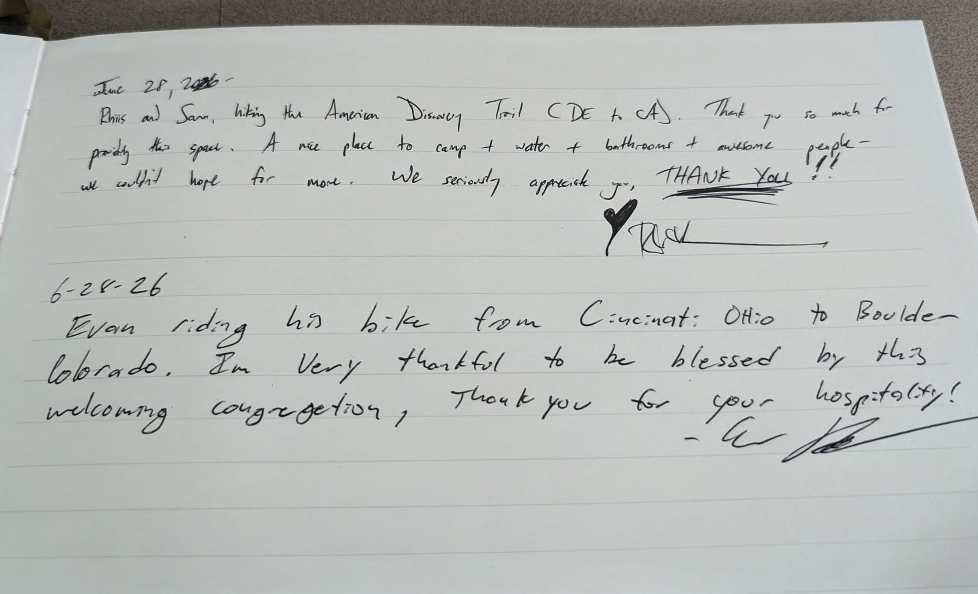
A free campground in Great Bend, KS, verified by five hikers across five seasons, 2021–2026. When Rhiis & Sara walked up this June, the church invited them in for food, drinks, and Scrabble.

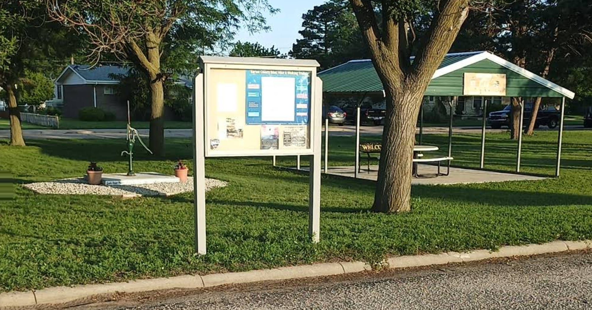
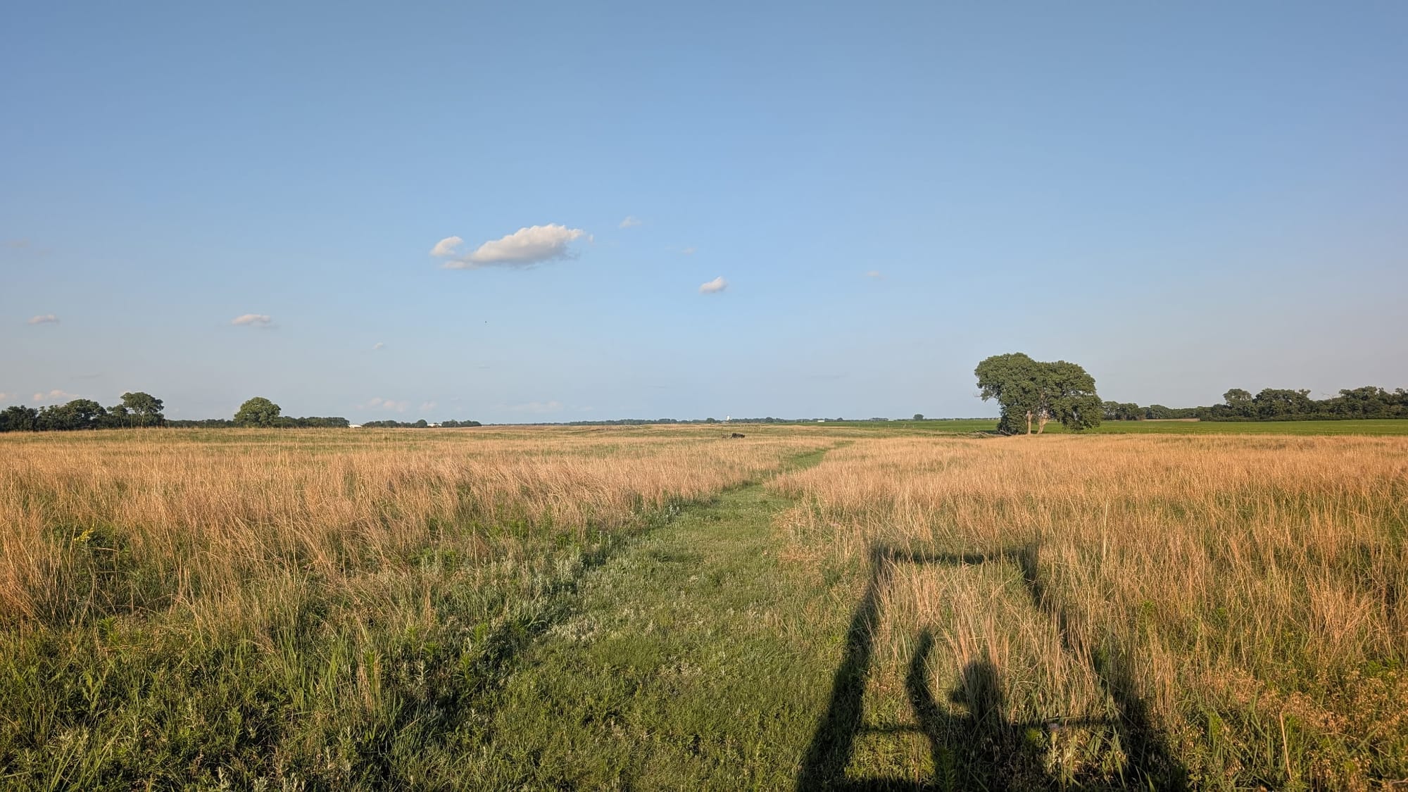
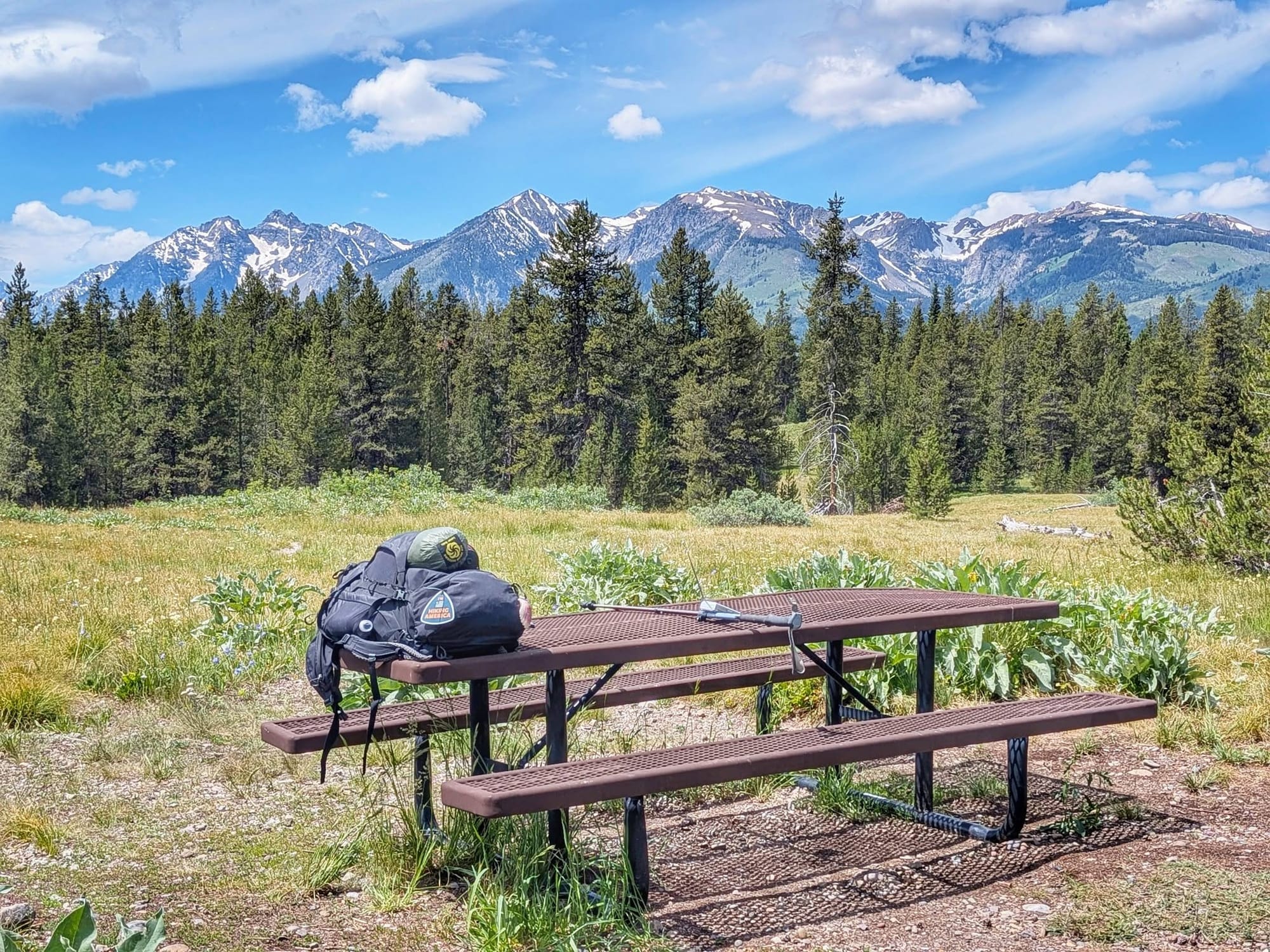
A free campground sits a block off the American Discovery Trail in Great Bend, Kansas. A hiker named JB logged it in 2021 — water, picnic tables, a phone charging station, no bathrooms. Bernie Krausse stayed there in 2022. 'RayRey' Reynosa added a porta-potty and "police patrol regularly" in 2023. Matthew Hengst rolled in around midnight in 2024 and confirmed that the bathroom and water pump were real. Rhiis and Sara walked up in June 2026, found every prior note still holding, and got invited inside for food, drinks, and a game of Scrabble! Five hikers, five seasons, one campground.
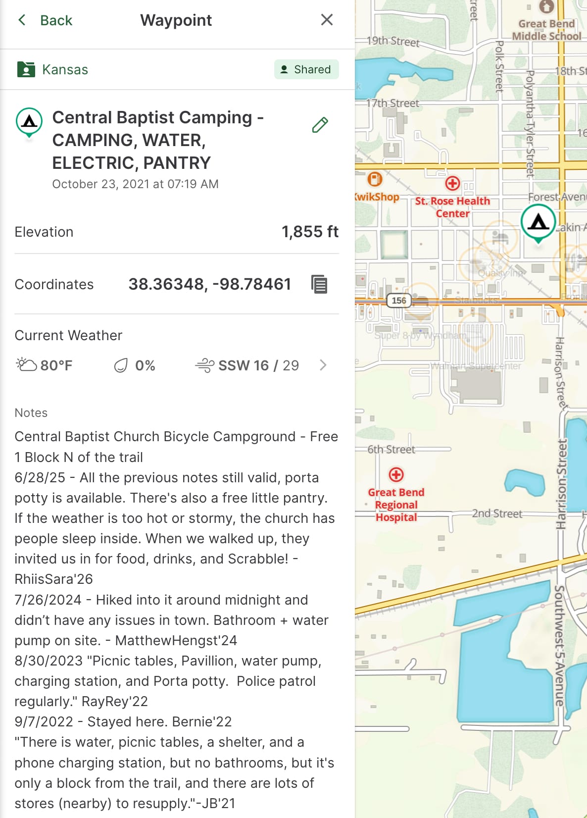
Hiking America Guidebook (left) and Gaia GPS Data for the Central Baptist Church Campground. Click to enlarge.
That's the part you don't usually see.
We keep this level of detail inside our GPS guides and Gaia data on purpose — it's the work, and the work is the product. Just this once, we're pulling the curtain back to show what goes into a single line on a map.
A waypoint is never finished
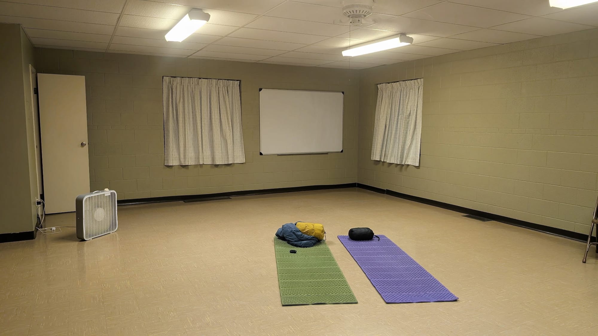
The campground above isn't one observation. It's a stack of them, each dated and signed, each one adding something new or confirming the last hiker got it right. The charging station showed up in one season. The porta-potty in another. The "I arrived at midnight and felt fine" detail matters to the next solo hiker deciding whether to push into town after dark. In 2026, Rhiis and Sara logged a free little pantry by the door and an open invitation to sleep inside the church when the heat or a storm turns dangerous.
The people doing the walking 🥾
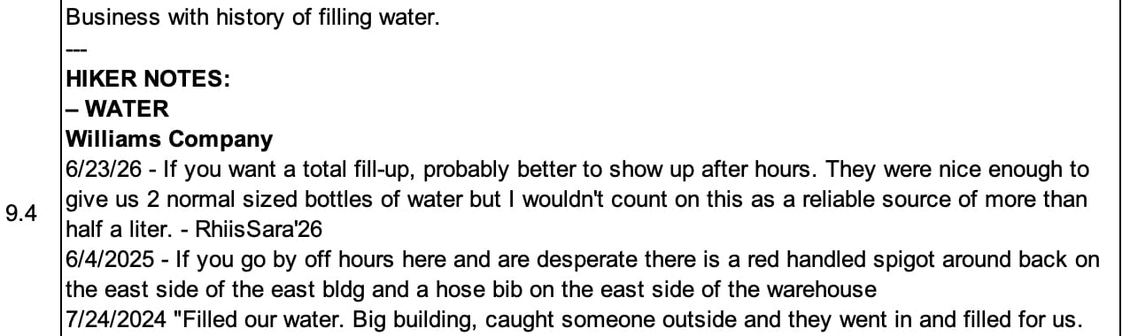
Rhiis and Sara are the latest hands on this segment, not the only ones. They feed real conditions back to us alongside other hikers of the American Discovery Trail all across the country in real time — Renae Gupta, Tyler "Iceman" Reiser, Suzan Brydon, Leif Olson. They've sent water-source ratings, reroutes, current prices, and the detail you only get by being there. On this June pass, Rhiis and Sara confirmed working water at two country churches: St. Peter and Paul on Northeast 50 Road, where the groundskeeper waves hikers in, and Monitor Community Church of the Brethren, which leaves its back door unlocked as a storm shelter.
A note that a company might give you water if you catch someone outside, and that you shouldn't count on more than half a liter, is worth more than a blue dot that says WATER and leaves you dry. The flaky sources get flagged as flaky.
The people along the trail get logged too. When Rhiis and Sara met Carolyn in Chase — rides around town, camping on a Santa Fe Trail homestead — that connection went into the guidebook so the next hiker knows to call ahead. Same with Bryce in Windom, who talked his city hall into keeping a park bathroom open for hikers passing through.
Signal over noise 🗺️
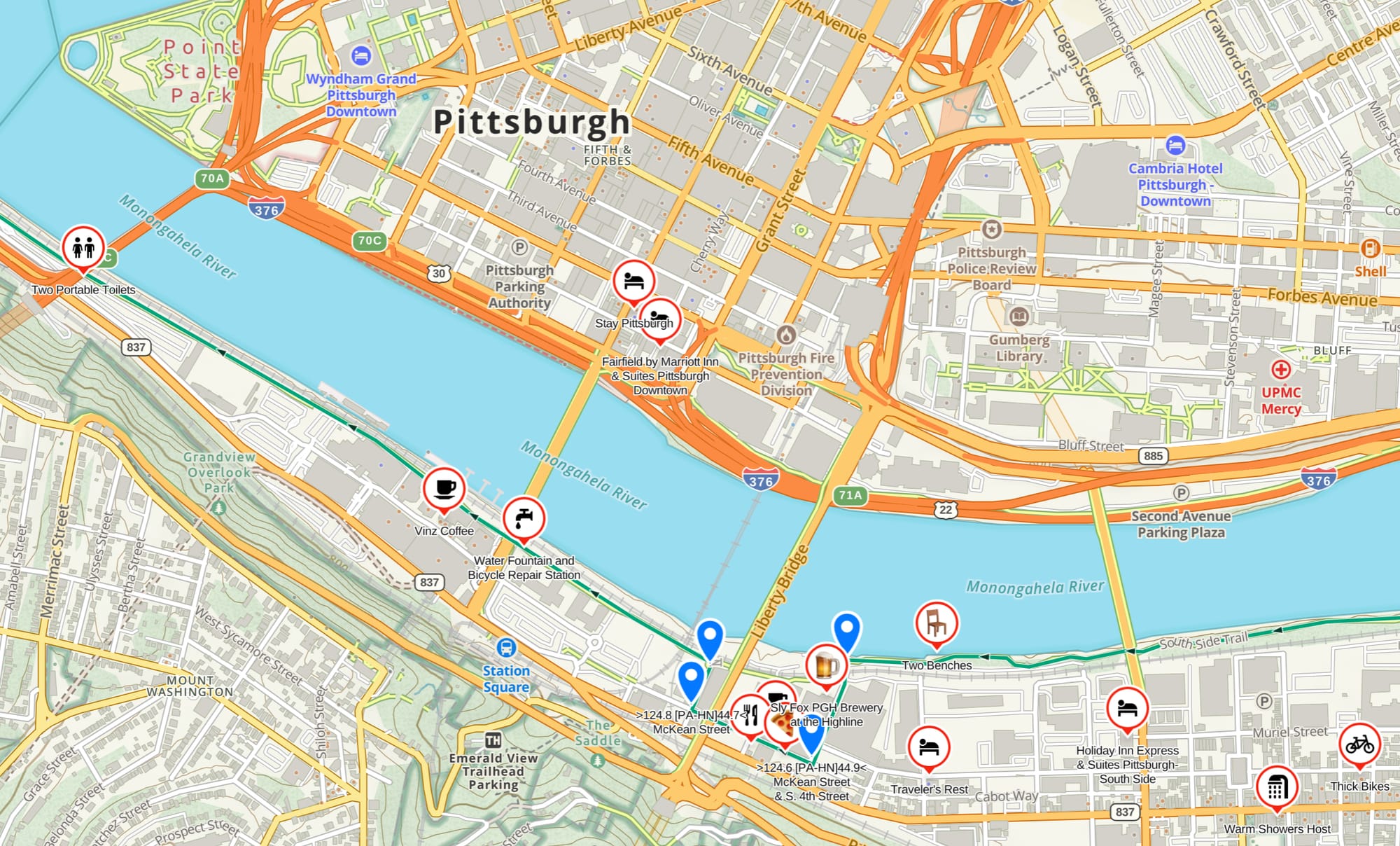
We don't catalog every business in every town. A waypoint earns its place by being useful from the trail corridor. A large city gets fewer pins than its size suggests, because a thru-hiker needs what's walkable from the route — not a phone book. Pittsburgh, on the Great American Rail-Trail, carries fewer waypoints than a tourist would expect, and that's deliberate. Signal over noise.
The Great American Rail-Trail, built live ⛰️
While Rhiis and Sara and others work the American Discovery Trail this year, Bernie Krausse is doing something no one has done before. Since March 28, 2026, he's been walking the first known end-to-end foot thru-hike of the Great American Rail-Trail, westbound from the Capitol Reflecting Pool — and verifying our data and adding his own as he goes.
Our Great American files have passed 9,000 waypoints, and Bernie is the reason they hold up. When the Continental Divide Trail corridor through Yellowstone closed for bear activity this month, he found and verified the Ashton, Idaho reroute. Across Wyoming, he confirmed a three-route system — the official Great American route, a hiker alternate near the Divide, and a biker alternate — by walking it himself.
The American Discovery Trail data grows the way a town does: one resident at a time, layered over years. The Great American will too. Its data, this first year, is being carved fresh by one hiker out front.
Both run on the same rule — dated, signed, walked.
Take a look behind the curtain
The American Discovery Trail guides — curated waypoints, verified water, prices checked this season — are available to subscribers.
The Great American Rail-Trail GPX tracks are free. Start there, follow Bernie's progress, and watch the data take shape in real time.
Explore Hiking America → Get tracks for BOTH trails AND the thousands of waypoints - where to eat, camp, find water- for one subscription.
Hike Your Hike - John.