
Storm Chasing and State Lines: Bernie Krausse Crosses Iowa on the Great American Rail-Trail
A 39-mile push to outrun a tornado-watch system, a restored train depot serving as a trail waypoint, and a crossing into Nebraska on foot. Bernie Krausse's Week 8 on the Great American Rail-Trail is up. Here's what the final Iowa section looks like right now.

All photos by Bernie Krausse
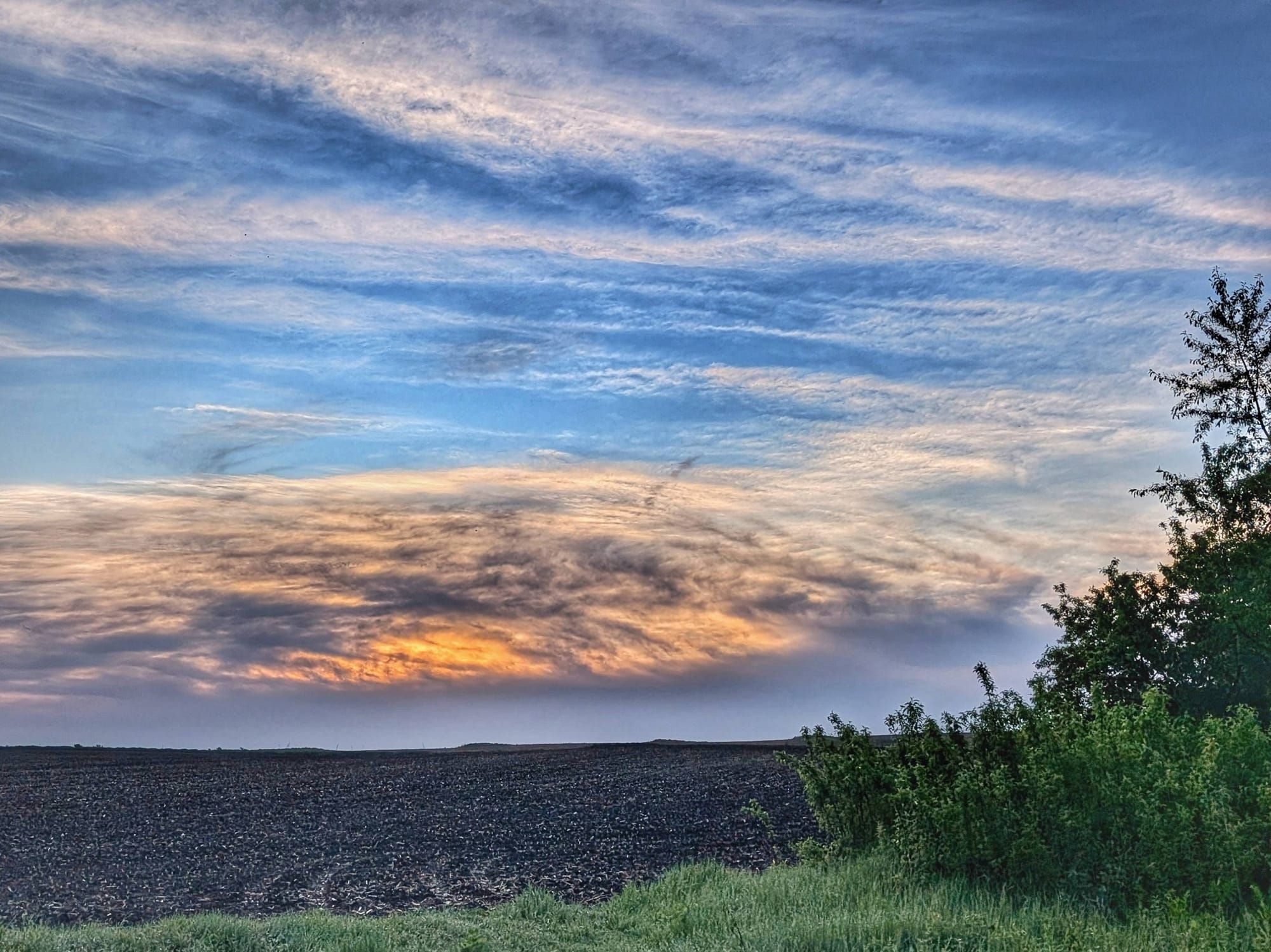
Midnight thunder rolled in over Bernie Krausse's tarp tent somewhere in central Iowa, and he watched the lightshow from inside rather than running from it. "Intimacy with nature can manifest in infinite ways," he wrote in his journal that night. It's a good line, and it pretty well captures what Week 8 on the Great American Rail-Trail looked like from the ground.
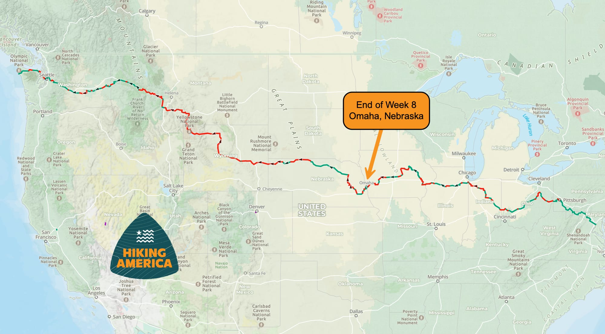
Days 50 through 56 took Bernie from the High Trestle Trail corridor west of Slater all the way to the Nebraska state line and across the Missouri River into Omaha — roughly 200 miles in seven days, including two weather zeros and a rest day with a trail angel. What follows is a field dispatch from the trail as it exists right now, in late May 2026, including navigation and logistics notes that will be useful for anyone planning this section. 🗺️
Bernie Krausse
Great American Rail-Trail - Westbound
Started: March 28, 2026
Support Links: ImHikingAmerica, Facebook, Venmo, PayPal Donate
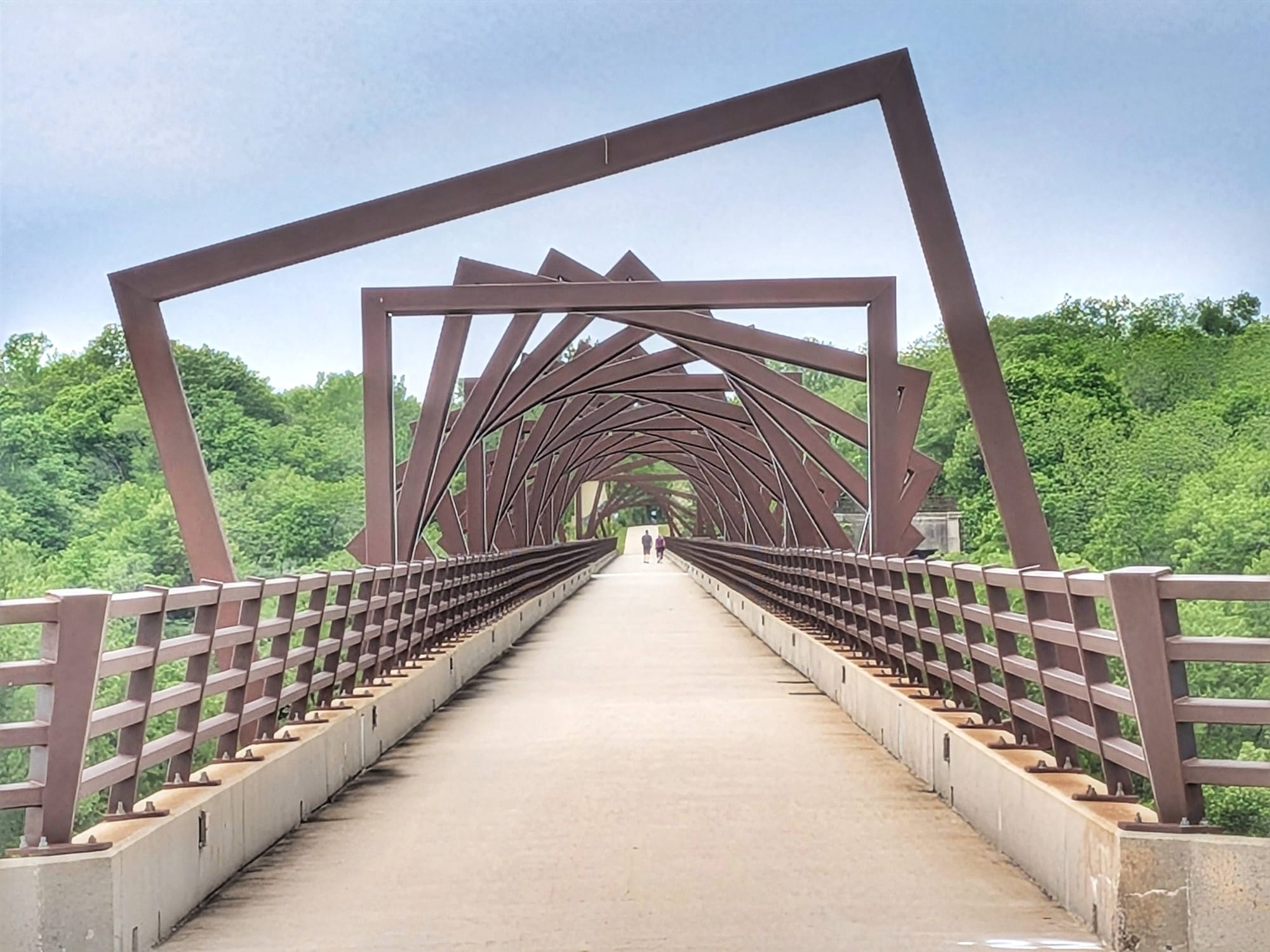
The High Trestle Trail and the T-Bone: Two Rail-Trails Worth Knowing
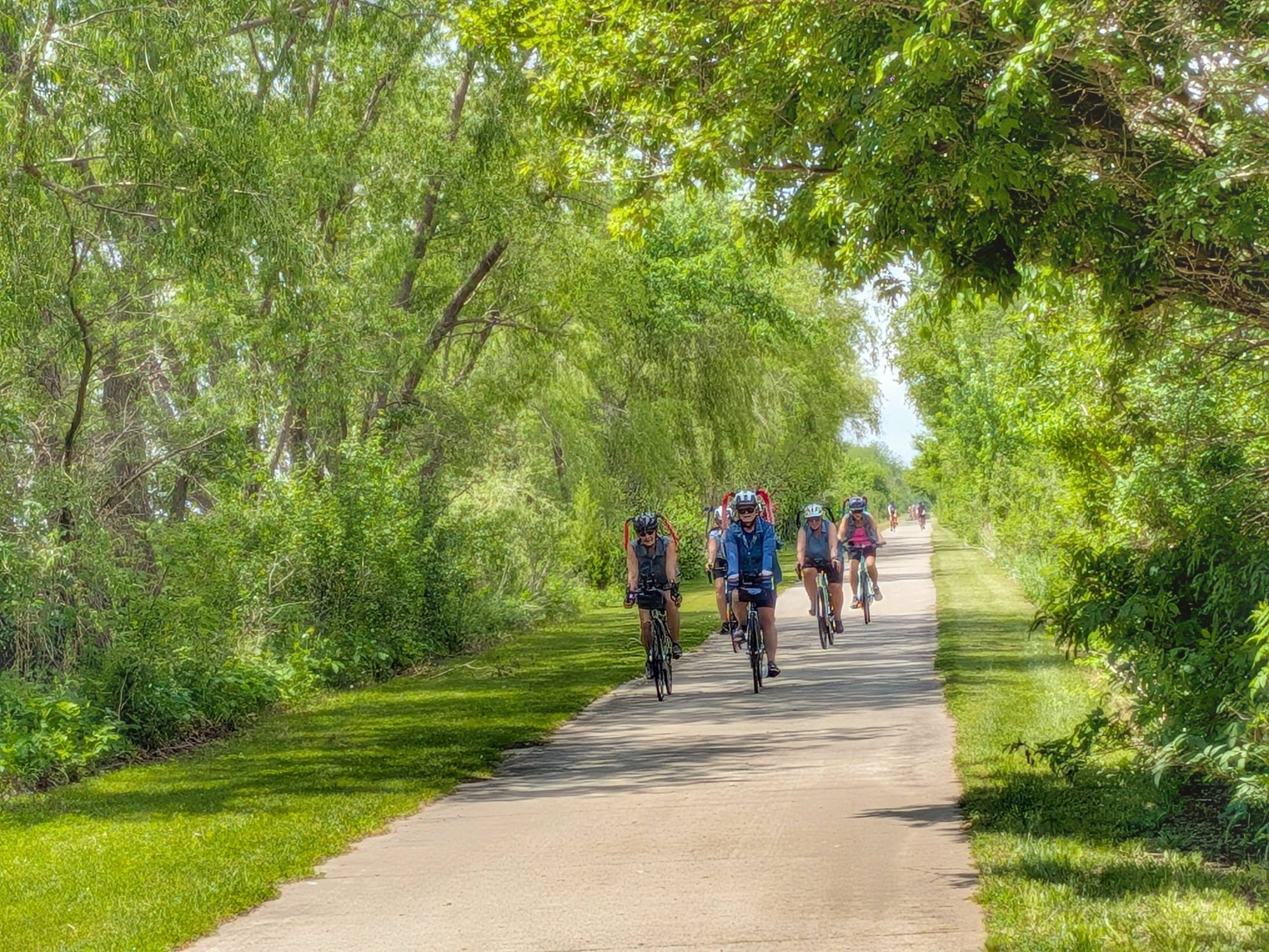
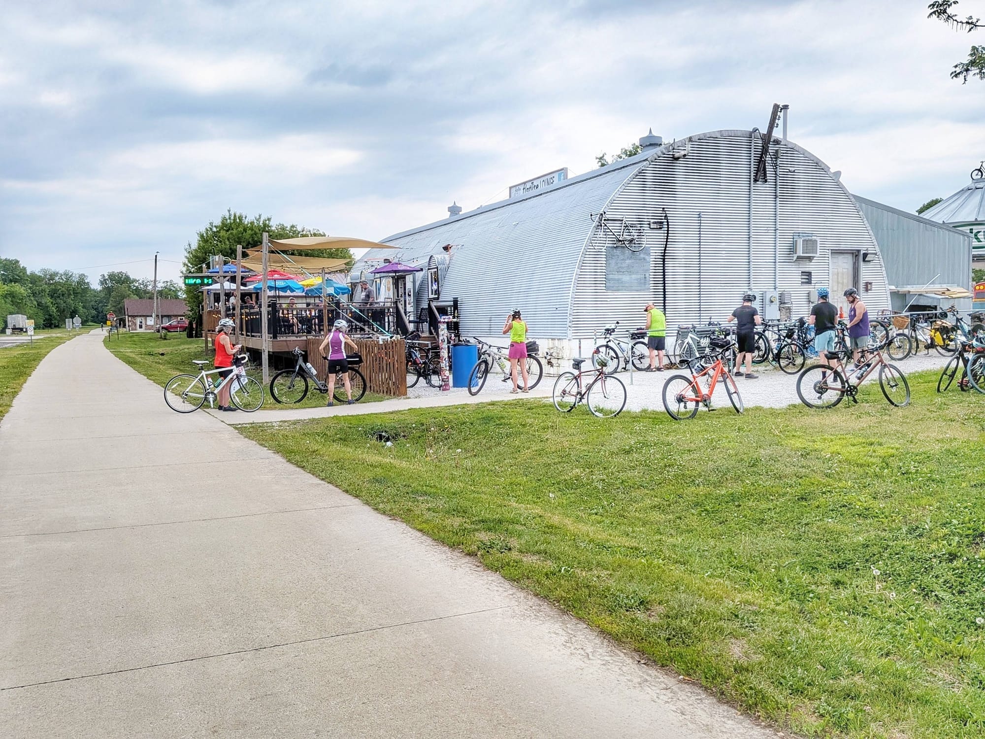
One of the more useful landmarks in this stretch is the junction in Slater, Iowa, where the American Discovery Trail peels south toward Des Moines while the Great American Rail-Trail continues west on the High Trestle Trail. If you're planning the Great American, that's your route. Stay on the High Trestle and keep moving. Bernie noted the trail was swarming with cyclists on Day 50, two separate all-women's Pigtails ride events converging on the corridor from Huxley through Slater. It's a popular recreational trail, which means services are reasonably accessible in that zone.
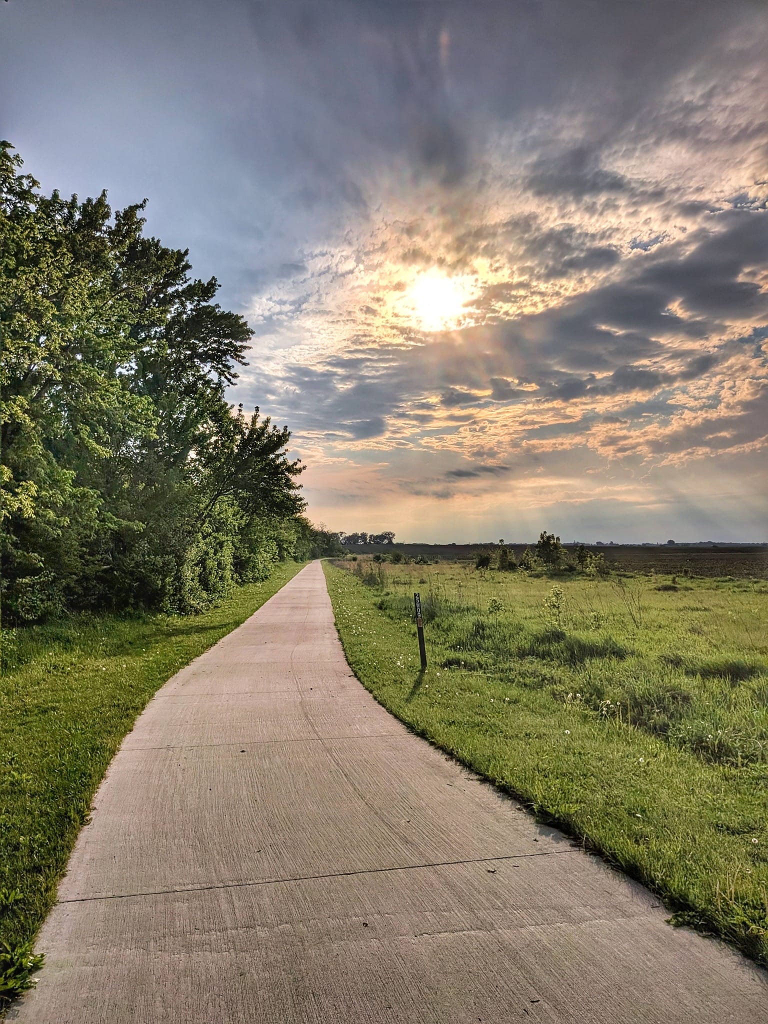
Further west, the T-Bone Trail runs 20 miles from Audubon into Atlantic, Iowa. Bernie stepped onto it on Day 53 and didn't see a single other person — walking or cycling — in two days of travel. That's a meaningful data point. The High Trestle draws crowds. The T-Bone, at least in mid-May, is quiet. Plan accordingly for water and services. ☀️
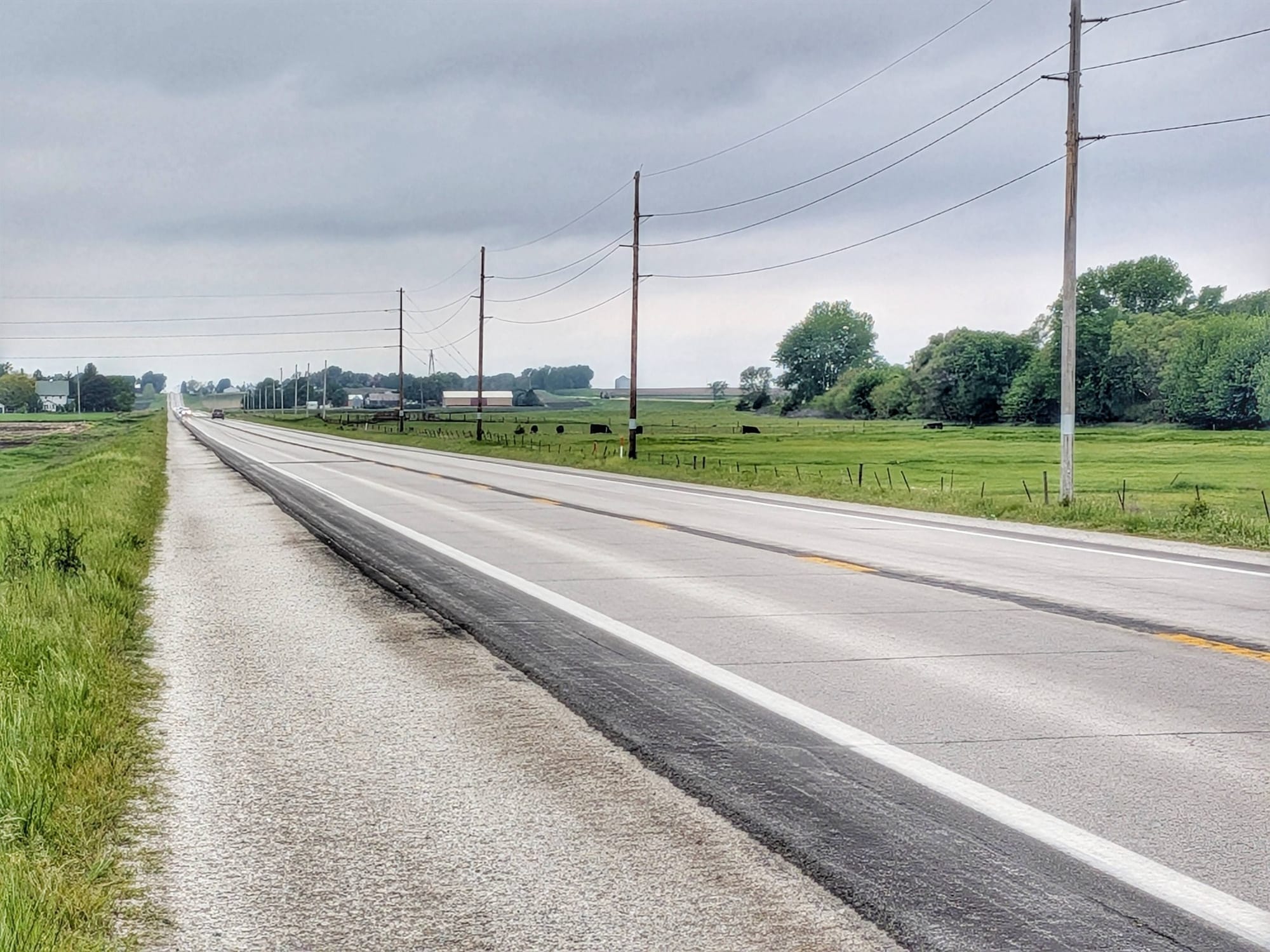
The Road Walk Reality
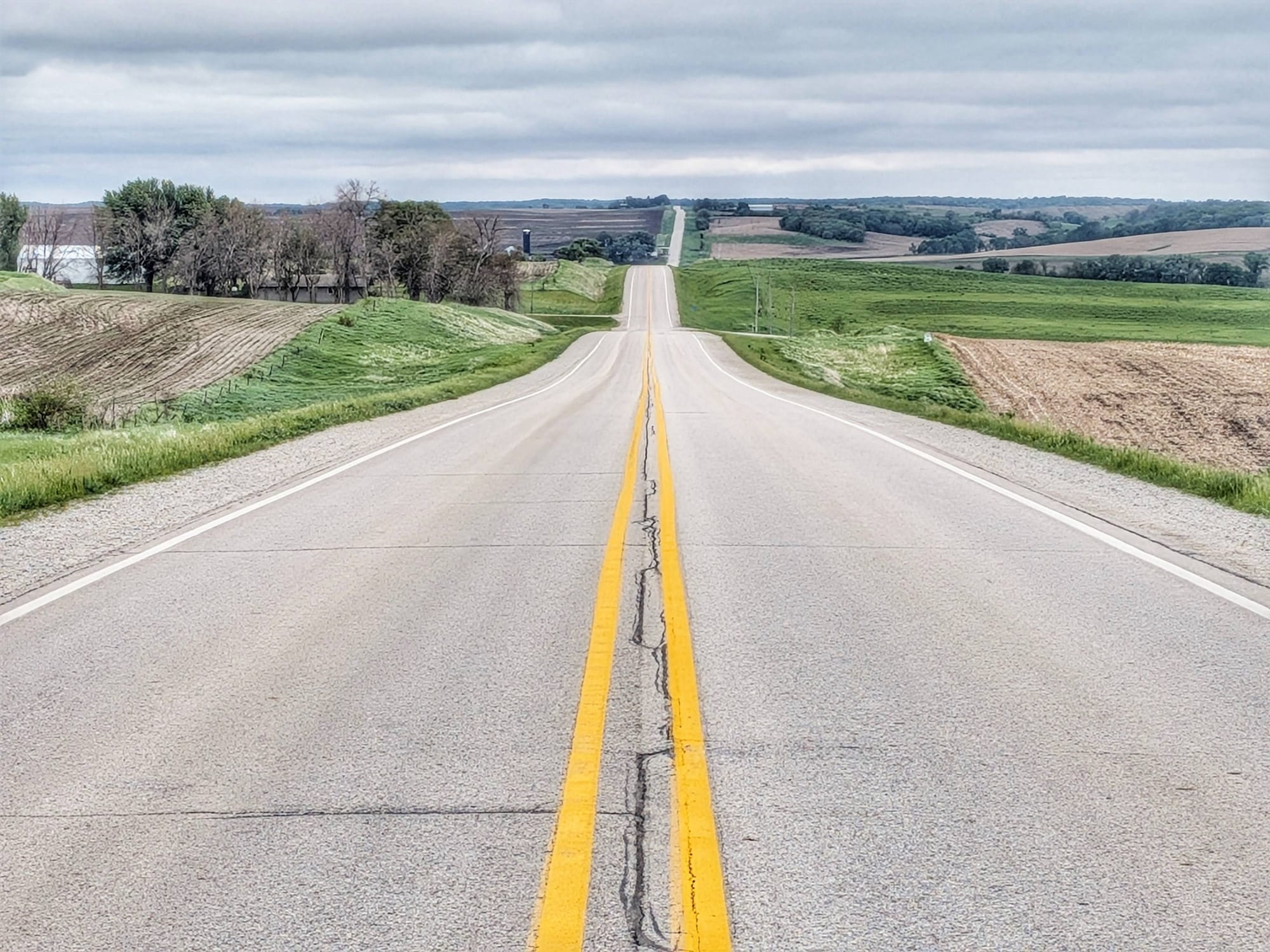
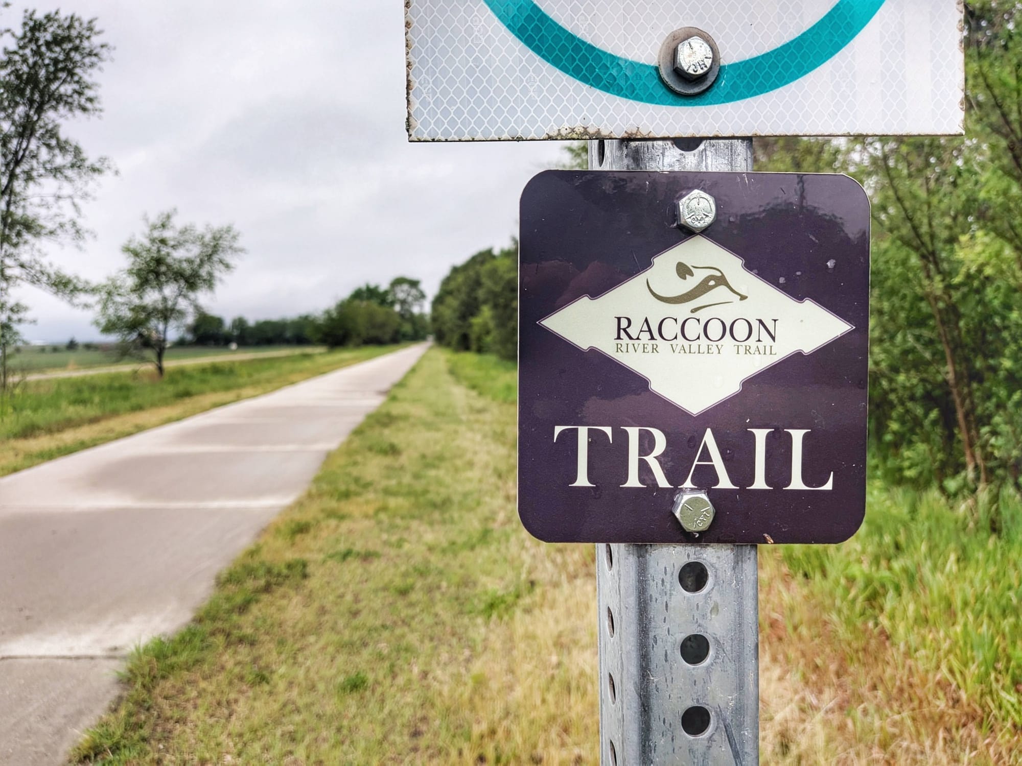
Between the named rail-trails, this section involves significant road walking — and Bernie's dispatches are honest about it. There's a 19-mile road walk on Highway 141 between Herndon and Coon Rapids after the Raccoon River Valley Trail ends. Then a 25-mile road walk from Coon Rapids into Audubon. Then another 26-mile stretch on wide highway shoulders through Minden, Neola, and Underwood before the outskirts of Council Bluffs.
Hiking America's track of the Great American Rail-Trail connects finished rail-trails with road segments, and the road segments are real. We'd rather you know that going in than be surprised by it. Wide-shouldered roads through quiet rural Iowa, a couple of farmers stopping to check on Bernie, the occasional gas station — no issues, but no trail infrastructure either. We're building out waypoint data for these sections specifically to help hikers navigate them without surprises.
Weather Strategy in the Midwest
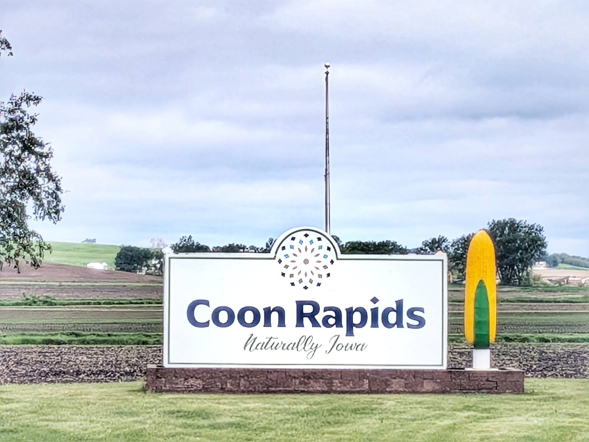
Day 50 produced Bernie's highest mileage yet — 39 miles — and the reason was strategic. Severe thunderstorms were forecast for Sunday and Monday, and storm chasers were converging on the area. Bernie pushed hard to reach Coon Rapids ahead of the front, threading what he described as a narrow corridor of non-precipitation between two storm cells. He made it. The storms arrived over him again around midnight.
The Plains weather pattern is real, and it moves fast. Having flexibility in your itinerary and a sense of where to find shelter matter more here than almost anywhere else on the route. Bernie pre-booked two nights in Coon Rapids specifically to wait it out, and that call proved right. 🌲
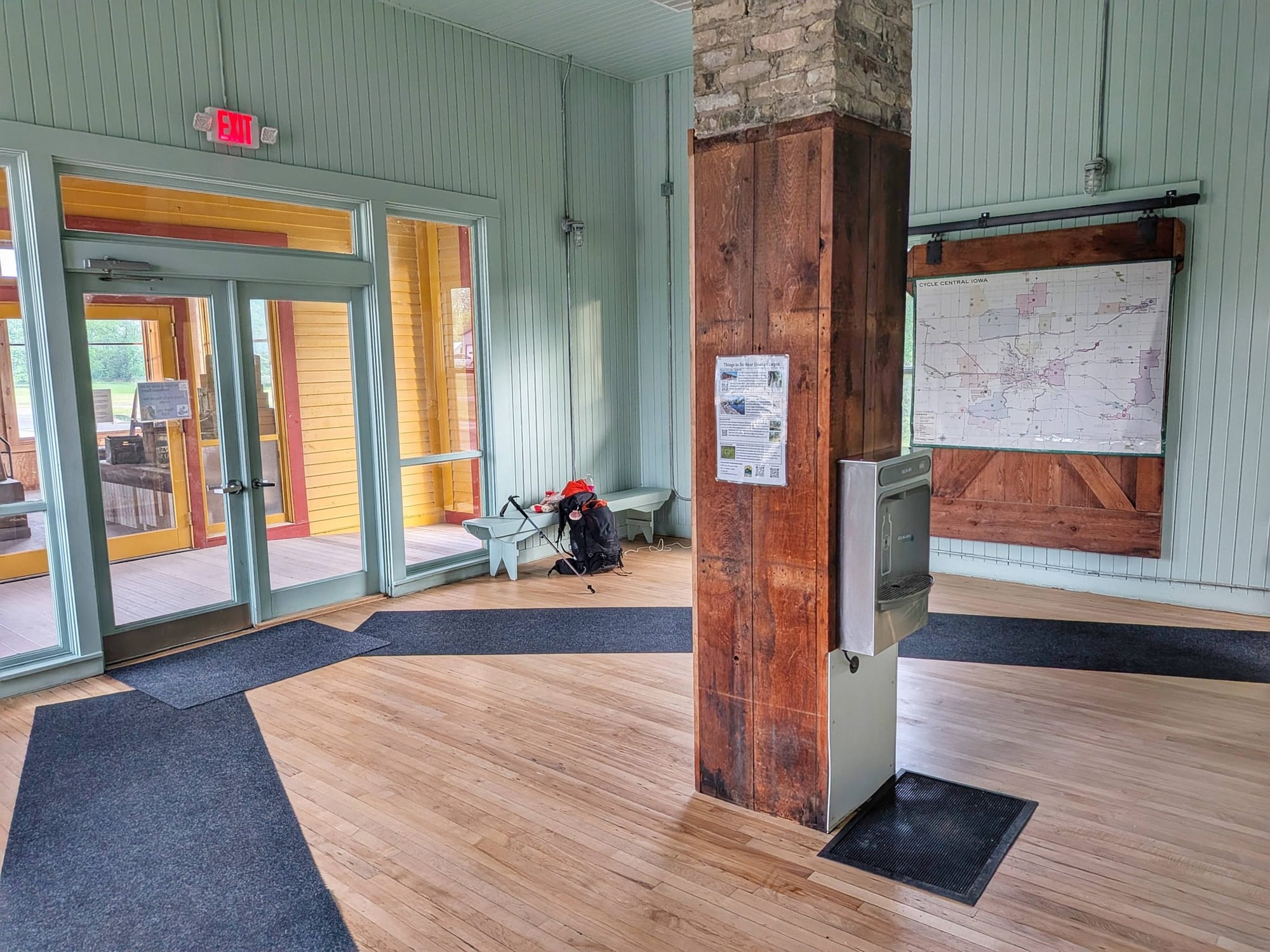
Dawson Train Depot and the Small-Town Infrastructure
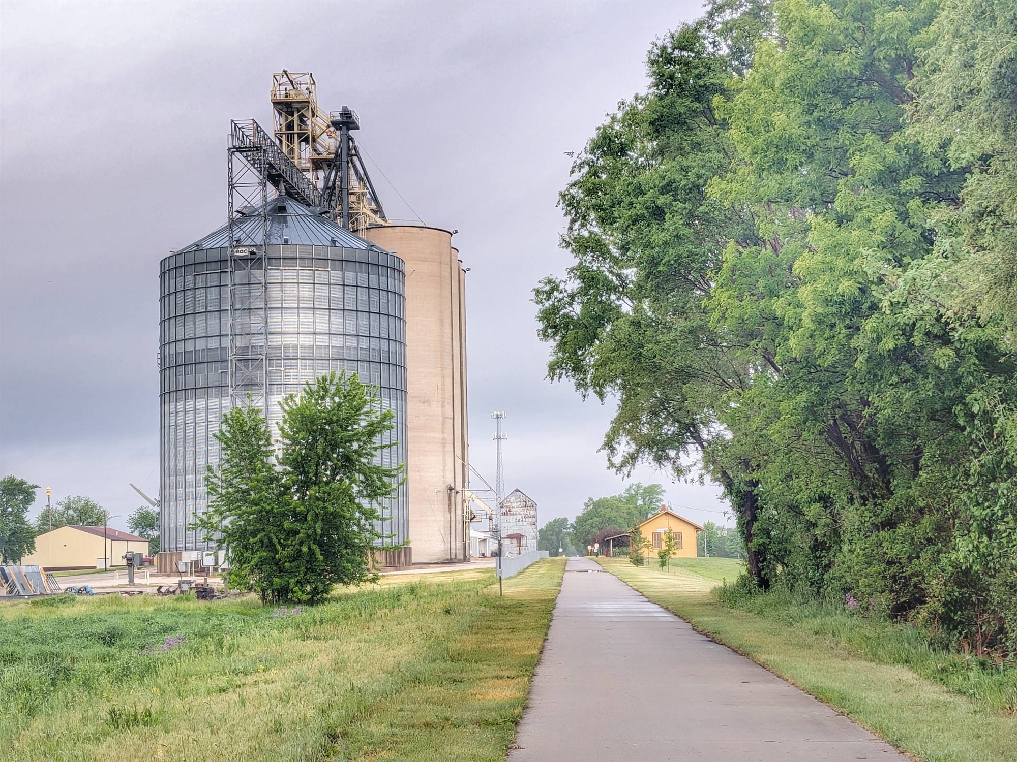
On the morning of Day 51, Bernie rolled into the Dawson Train Depot next to the town's grain elevator on the Raccoon River Valley Trail. The caretaker who unlocked it that morning remembered coming there as a child to catch a train. It's been carefully restored with water, power, and a place to sit. Small, functional, easy to miss on any map that isn't specifically built for hikers. The Dawson Depot is exactly what we're trying to capture in the waypoint data for this section.
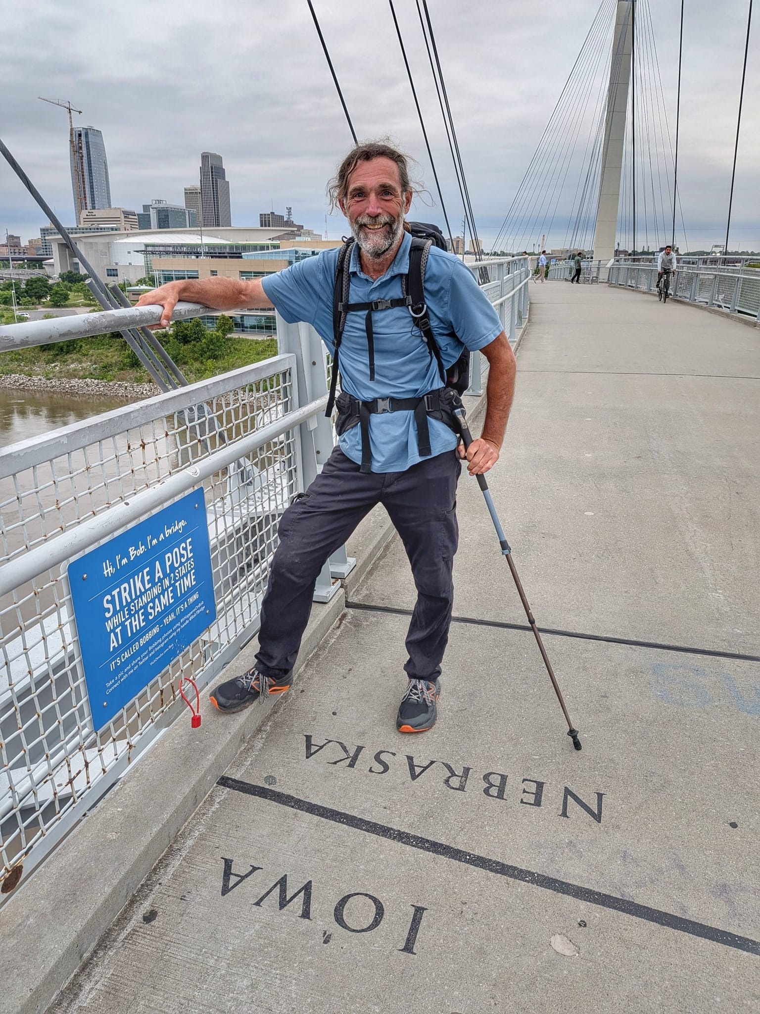
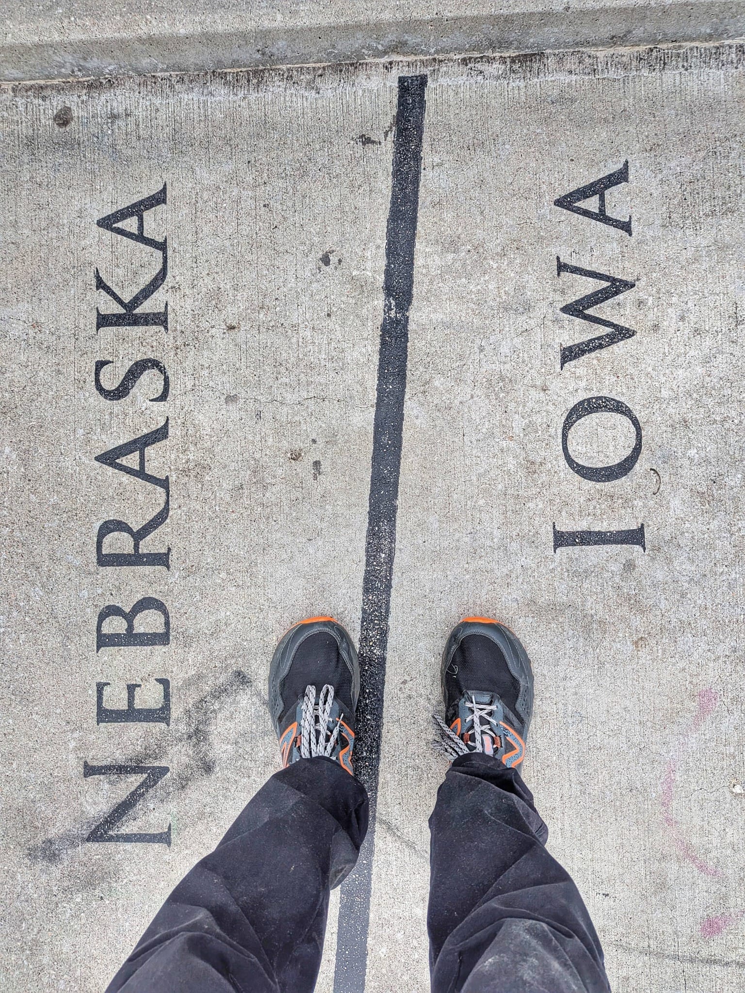
Crossing Into Nebraska
Day 55 brought Bernie to the Bob Kerrey Pedestrian Bridge and across the Missouri River into Omaha, the Nebraska state line. By his count, roughly 1,500 miles covered in 51 days, with the halfway point expected somewhere in Nebraska.
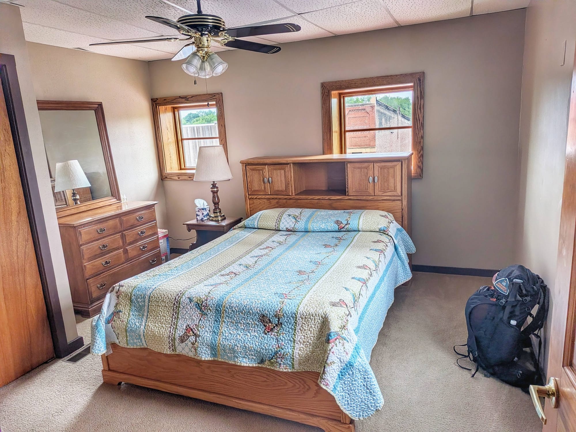
He spent that evening and the next morning at the home of a trail angel named Sophia, who had been following his journeys for years. A wellness retreat, a pool, a sauna, and what he described as a Miracle Breath Session to clear out accumulated physical and nervous system strain. You take care of your body when the opportunity presents itself, because the miles ahead are long and the Plains will be whatever they decide to be.

What This Means for the Data
Each week of Bernie's hike is field verification in real time. The T-Bone Trail waypoints, the Dawson Depot, the road walk shoulders, the service gaps between Herndon and Coon Rapids. All of it goes into the Hiking America GPS data being built out for the Great American Rail-Trail. If you're planning this route in 2027 or beyond, you'll have a more complete picture because someone walked it in May 2026 and paid attention. That's the whole idea.
This week alone, 313 additional service waypoints were added – Where to eat, sleep, resupply, and more.
We'll have the next field dispatch when Bernie is deeper into Nebraska. Until then, he's moving west. 🥾
Hike Your Hike - John.🥾
Following Bernie's progress or planning your own Great American Rail-Trail journey? Our GPS track data and service waypoints for the Iowa section are available now, with Nebraska data being built out as Bernie moves through it. [Check the current coverage here] — and if you have questions about planning this stretch, reach out directly.
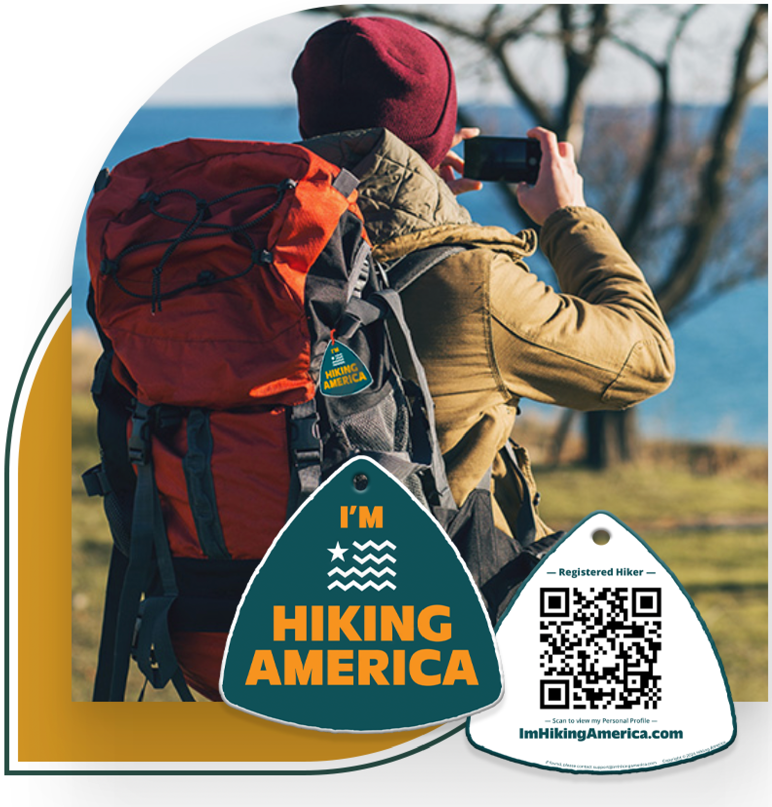
Hiking America Hiker Hang Tag
Recognized by trail angels, hostels, and fellow hikers nationwide!
Get your Custom Hiking America Hiker Tag!
Only $19 for a Limited Time!
Always Free to Hiking America Members.