
Maryland on the American Discovery Trail
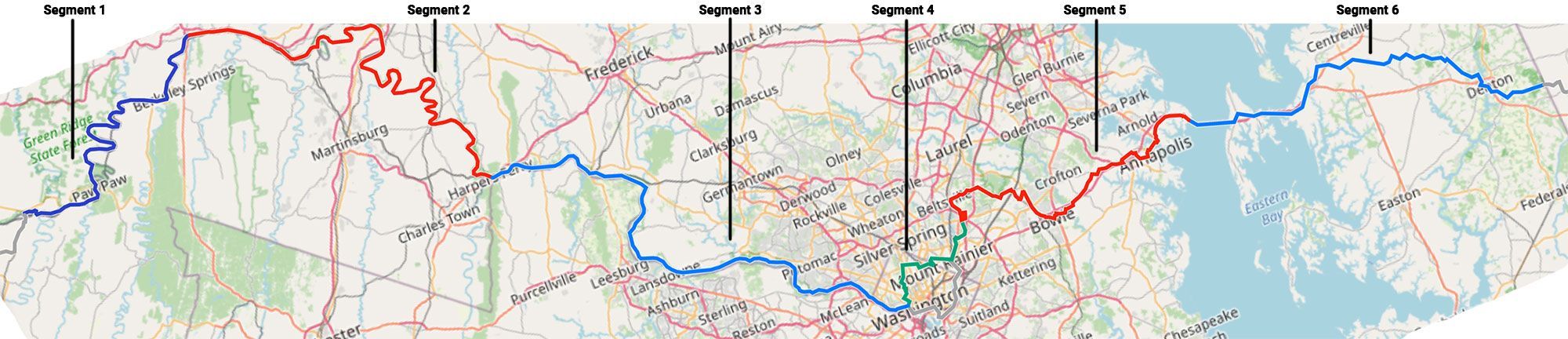
Maryland & Washington, D.C.
Maryland is the American Discovery Trail's water-level state: about 278 miles between the Potomac at the West Virginia line and the farm country of the Delaware border, with Washington, D.C. on the route in the middle. Most of it never leaves river grade.
The western two-thirds ride the C&O Canal Towpath, flat and shaded along the Potomac. The District sits in the middle, where the trail either threads Rock Creek Park or detours past the National Mall. The eastern third lies across the Chesapeake on the Eastern Shore: back roads and rail-trails through farm country between the Bay Bridge and the Delaware line.
Segment Guides
The C&O Canal Towpath
The western two-thirds of Maryland, about 167 miles across Segments 1 through 3, ride the C&O Canal Towpath along the north bank of the Potomac. The towpath is the old mule path of the Chesapeake & Ohio Canal, packed dirt and stone, part of a 184.5-mile national historical park between Cumberland and Georgetown; the trail joins it near the West Virginia line at Oldtown and stays on it to the District. Railroad-flat the whole distance, the river on one side, locks and stone lockhouses at intervals.
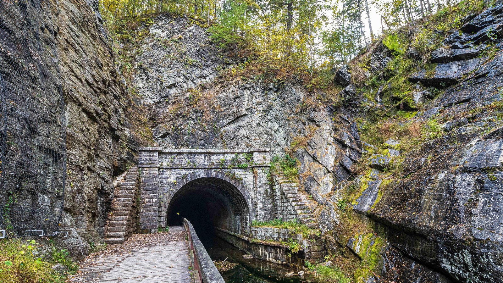
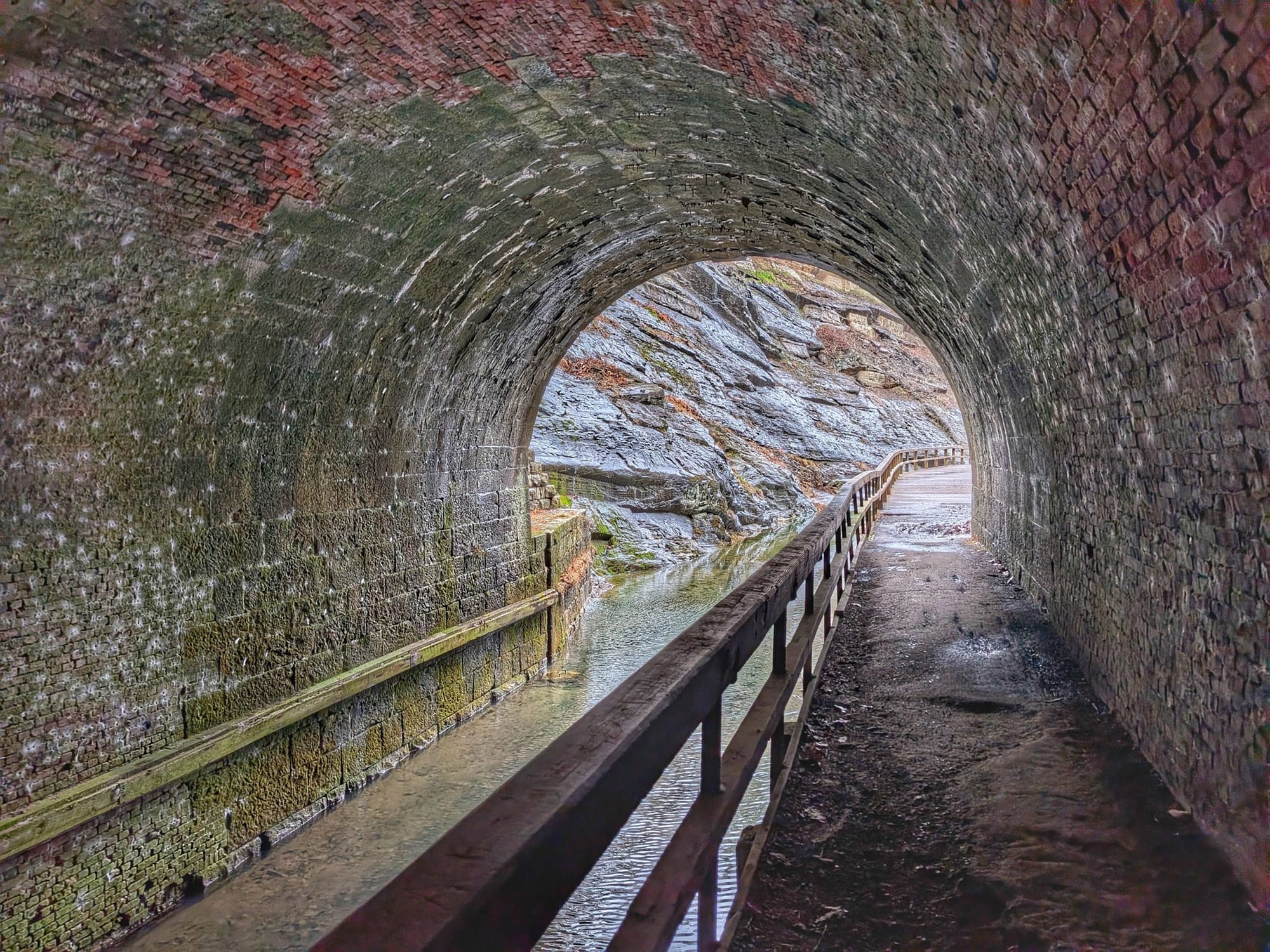
The Paw Paw Tunnel stands near the western end: 3,118 feet bored through Sorrell Ridge, the longest structure on the canal, lined with six million bricks. The towpath runs right through it, unlit and narrow, so carry a headlamp; the Tunnel Hill Trail climbs over the ridge when the tunnel is closed.
At Hancock, the state pinches to 1.8 miles from the Pennsylvania line to the West Virginia line, the tightest border-to-border stretch of any state, and the towpath, the Western Maryland Rail Trail, and the river thread through together. Fort Frederick's 1750s stone fort stands just off the canal nearby. Downstream sit the restored Cushwa Basin and aqueducts at Williamsport, the Catoctin and Monocacy aqueducts, Point of Rocks, and Great Falls, where the Potomac drops through a rock gorge below the Great Falls Tavern. Hiker-biker campsites stand every few miles along the canal, most with a pump and a privy. After rain the towpath drains slowly and turns to mud.
Washington, D.C.
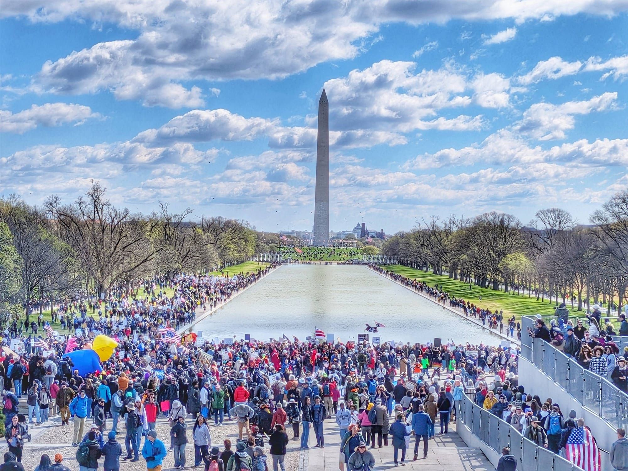
In the District the trail splits. The official American Discovery Trail route, Maryland Segment 4, keeps to Rock Creek Park and the ring of Civil War fort sites, past the National Zoo, Fort Stevens, and Fort Totten, skirting the city center. The marked alternate, Segment 4-DC, takes the monumental core instead: the Lincoln Memorial, the Washington Monument, the White House, the Smithsonian museums, and the U.S. Capitol. Both routes meet again at Greenbelt National Park, where Segment 5 connects.
The Western Shore and the Chesapeake
East of the District the route is on the Western Shore: suburban Prince George's County and the Washington, Baltimore & Annapolis Trail, a paved rail-trail through Bowie. Near Annapolis it runs past the Navy-Marine Corps Memorial Stadium and the edge of the Naval Academy grounds, and reaches the Chesapeake at Sandy Point State Park, on the western foot of the Bay Bridge.
The Chesapeake Bay Bridge
The Bay Bridge carries more than four miles of high, narrow roadway over open water and is closed to pedestrians, so the one gap in the walk is crossed by shuttle or arranged ride between Sandy Point and Kent Island. The segment guide lists the current options. Stevensville, on the Kent Island side, was founded in 1850 as a steamboat terminal.
The Eastern Shore: Kent Island to the Delaware Line
The eastern third, Segment 6’s 48 miles, crosses the flat farm country of the Delmarva Peninsula. On Kent Island the paved Cross Island Trail links the Bay Bridge side to Kent Narrows, past the Maryland Watermen's Monument. East of the island, the Eastern Shore is back roads and rail-trail: Queenstown, Tuckahoe State Park, the Ridgely rail-trail, and Denton on the Choptank in Caroline County. At the Delaware line the road surface marks the border: dirt on the Maryland side, pavement on Delaware's.

Timing and Terrain
Maryland has no high country to gate a season; nearly all of it is low and walkable much of the year. C&O water pumps run only mid-April to mid-November, so the canal stretch means carrying or treating water outside that window, and the surface turns to mud after rain. Summer on the Potomac and the Eastern Shore is hot and humid, with afternoon storms. Spring and fall are the kind weather. Through the District, the route is pavement and city park, walkable year-round, though the National Mall alternate is best when the monuments and museums are open.
Water, Resupply, and Camping
Resupply is easy by trail standards. Hancock, Williamsport, and Brunswick sit on or just off the canal, the District has everything, and the Eastern Shore strings together Stevensville, Grasonville, Denton, and the smaller Caroline County towns. Hiker-biker sites line the C&O every few miles on the western end, and state parks at Tuckahoe and Martinak anchor the east, but the suburban middle around Washington has little legal camping, so plan the District and its approaches around lodging or a ride out. Water is reliable on the canal in season and through the towns; the long road-walk stretches on the Eastern Shore are where to carry extra.
What a Maryland Crossing Looks Like
277.9 miles, six segments, and almost no climbing. Segments 1 through 3 are 167 miles of C&O towpath from Oldtown to Georgetown, through the Paw Paw Tunnel and past Great Falls. Segment 4 crosses the District through Rock Creek Park, with the National Mall as a 12.3-mile alternate. Segment 5 runs the WB&A Trail to Sandy Point and the foot of the Bay Bridge, the one stretch of the route that can't be walked. Segment 6 is 48 miles of Eastern Shore back roads to the Delaware line, where dirt turns to pavement. 🥾
Free Email Course · Six Parts
Six emails, one every two weeks, on the planning decisions specific to the American Discovery Trail, starting with which of its two routes to walk. The first one arrives the moment you sign up, with the complete Delaware turn-by-turn guide and its live Gaia GPS folder, free.
One email every two weeks, six in total. Unsubscribe whenever you like. What the six cover