
Southwestern Ohio on the American Discovery Trail
Ohio — The Northern Route
The northern branch of the American Discovery Trail crosses 59.3 miles of southwest Ohio in a single dual-directional segment. It links the Indiana line in Preble County to the Cincinnati confluence, where the northern and southern routes meet.
This is farm-country and small-town walking, strung along Four Mile Creek — three covered bridges, the college town of Oxford, the lake and woods of Hueston Woods State Park, and a corridor thick with Underground Railroad history.
Segment Guide
Four Mile Creek and its covered bridges
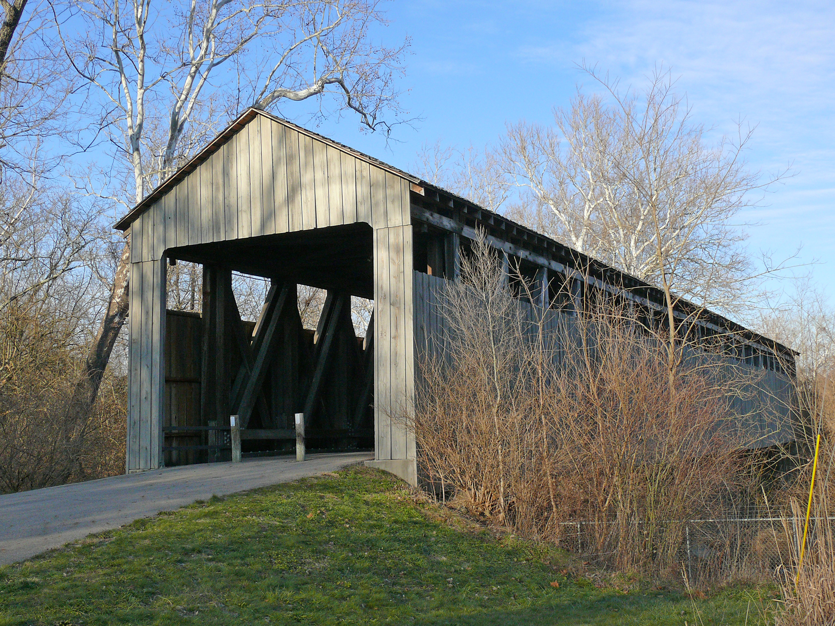
The route runs much of its length near Four Mile Creek, and the creek carries the region’s covered bridges. The Harshman Covered Bridge, an 1894 span built in the rare Childs truss — one of only a handful of the type left in the country — still stands over the creek and still carries traffic. Near Oxford, the Black Covered Bridge, also called Pugh’s Mill, dates to 1868 and stretches 170 feet, the last covered bridge left in Butler County. A newer covered bridge at Hueston Woods, built in 2012, crosses the same water. All three sit on or beside the trail.

Hueston Woods and Oxford
Hueston Woods State Park wraps around Acton Lake, and its West Shore Trail carries the route along the water. Just south sits Oxford, the college town of Miami University and the largest resupply on the segment, with everything a hiker needs. Indian Creek Baptist Church and its pioneer cemetery, founded in 1810, stand nearby among the oldest in Butler County.

An Underground Railroad corridor
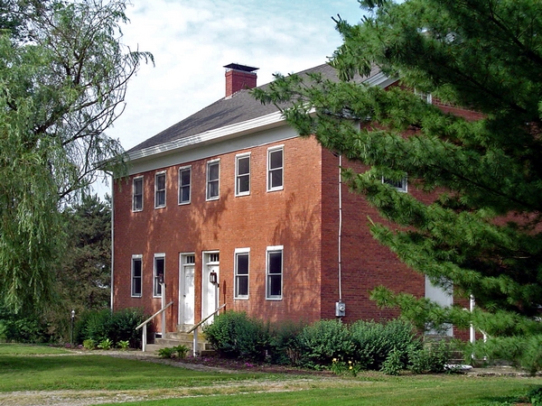
The land here holds a heavier history. Bunker Hill House — a former stagecoach stop, tavern, and general store — stood on the Underground Railroad, where freedom seekers moved in secret along Four Mile Creek and sheltered inside as they made their way north. Hopewell Church, nearby, served the same purpose, with members of its congregation acting as conductors. The creek that gives the route its covered bridges was, for some, a path to freedom.
The Cincinnati confluence
At its southern end the route reaches Miami Whitewater Forest and the White Water Shaker Village, the last Shaker community built in Ohio, once sustained by seed production and broom-making. Beyond the forest lies the confluence — the American Discovery Trail sign where the northern and southern routes come together, and where the Ohio Southern Route guide picks up for the long crossing to West Virginia.
Timing, terrain, and services
The northern route is easy walking by ADT standards — low relief, farm roads, creek-side paths, and a state park, with none of the rugged backcountry of the southern route’s interior. Oxford anchors resupply; the smaller communities at either end are lighter on services. Spring and fall are the most comfortable seasons, and summer brings heat and humidity to the open farmland. Four Mile Creek and developed sites cover most water needs. The segment guide carries the current, waypoint-level detail — camping, water, and the trail-angel network.
What the northern route offers
Fifty-nine miles of gentle Ohio farm country, three covered bridges, a college town, a lake in the woods, and a creek that once guided people toward freedom. The northern route is the shorter, softer of Ohio’s two branches — a fitting approach to the Cincinnati crossing where it meets the southern route. 🥾