
Rhiis's season ends in Ione
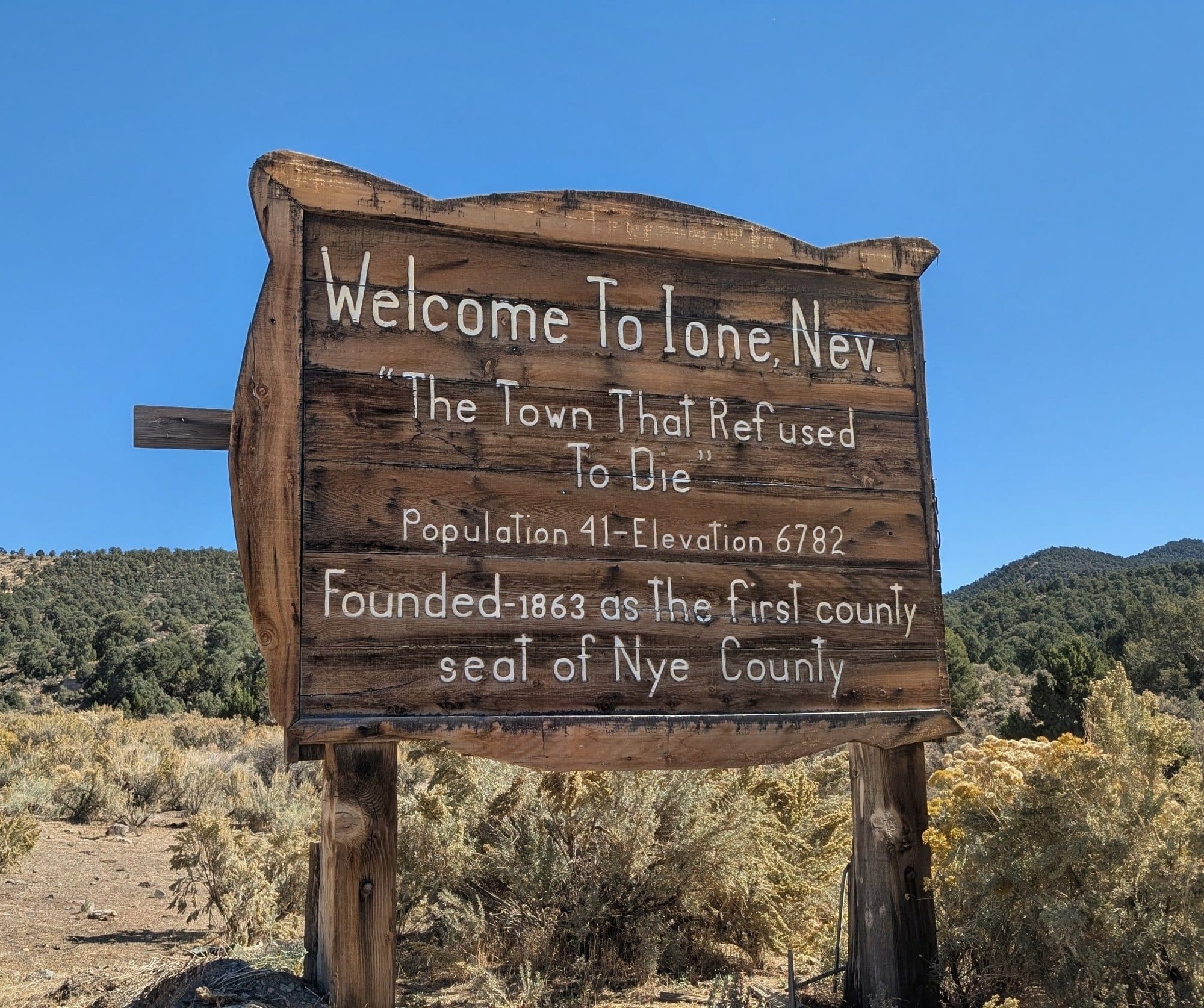
Two days from Middlegate, almost out of water, Rhiis Lopez walked into Ione, Nevada, and decided that was the end of his 2026 season.

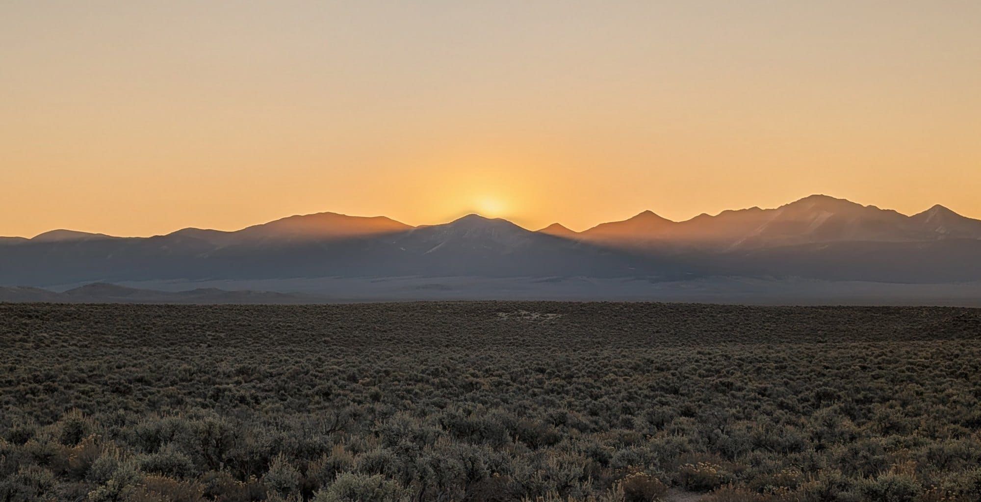
At 12:29 p.m. on October 15, Rhiis Lopez walked past the welcome sign in Ione, Nevada, on the American Discovery Trail with almost no water left. By evening he'd decided he wasn't comfortable going on, and Austin, who manages the Jumping Jack Motel, came to get him. His 2026 season ended there, five weeks after he left the Pacific at Limantour Beach.
He started east from Limantour on September 10, crossed the Sierra on bare ground on October 3, and left Carson City for Virginia City on October 7. He reached Middlegate Station on US 50 on October 12, took a rest day, and set out for Ione on the morning of the 14th.
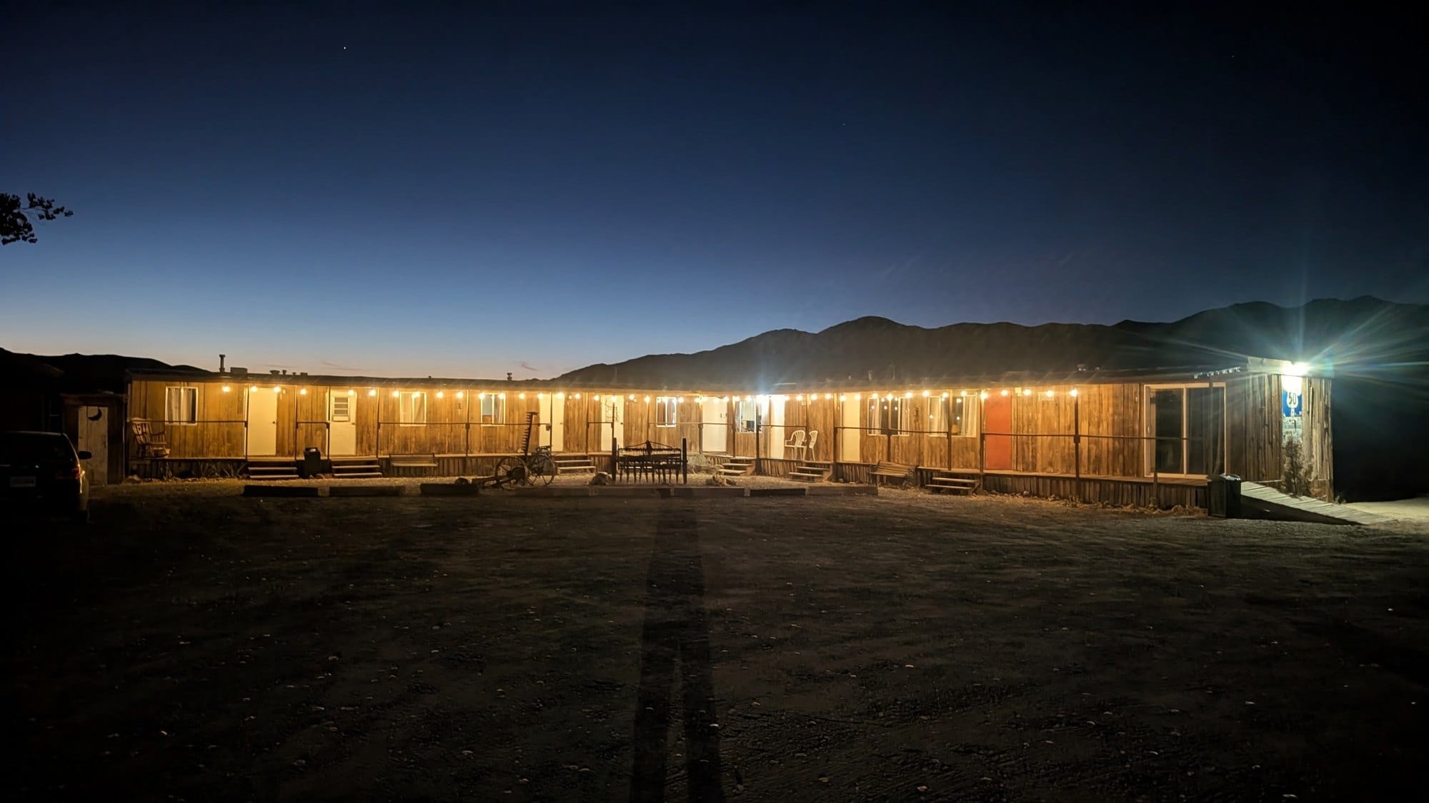
Two days to Ione
His plan, emailed the night before, was 22.9 miles the first day and 16.1 the second into Ione. He'd marked day two as dry before he left, with "possible water" in town.
The first day had water, all of it shared with livestock. The creek beside the road ran steady all morning, and Rhiis warned that cattle and horses often stand in it upstream. From midday on, every creek bed he crossed was dry, and the water he found sat in stock troughs fed by slow pipes.
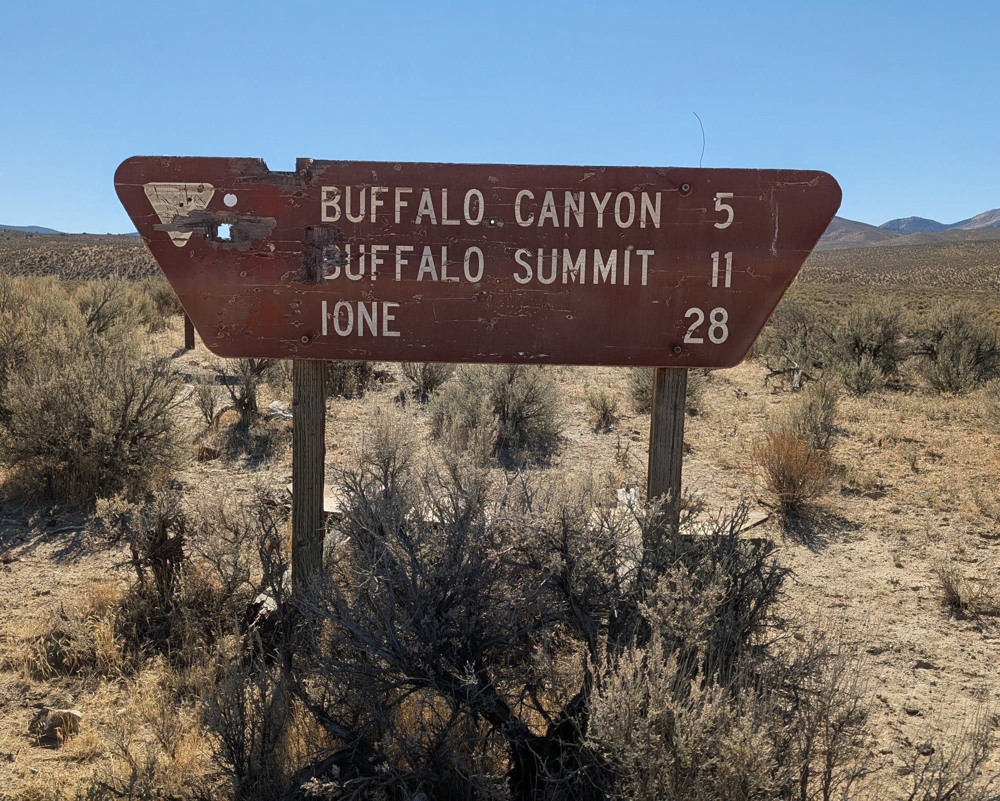
By 8:50 the next morning he was low enough that he passed up a possible water tank a short walk off the road. He pinned it for the next hiker to check and kept going.
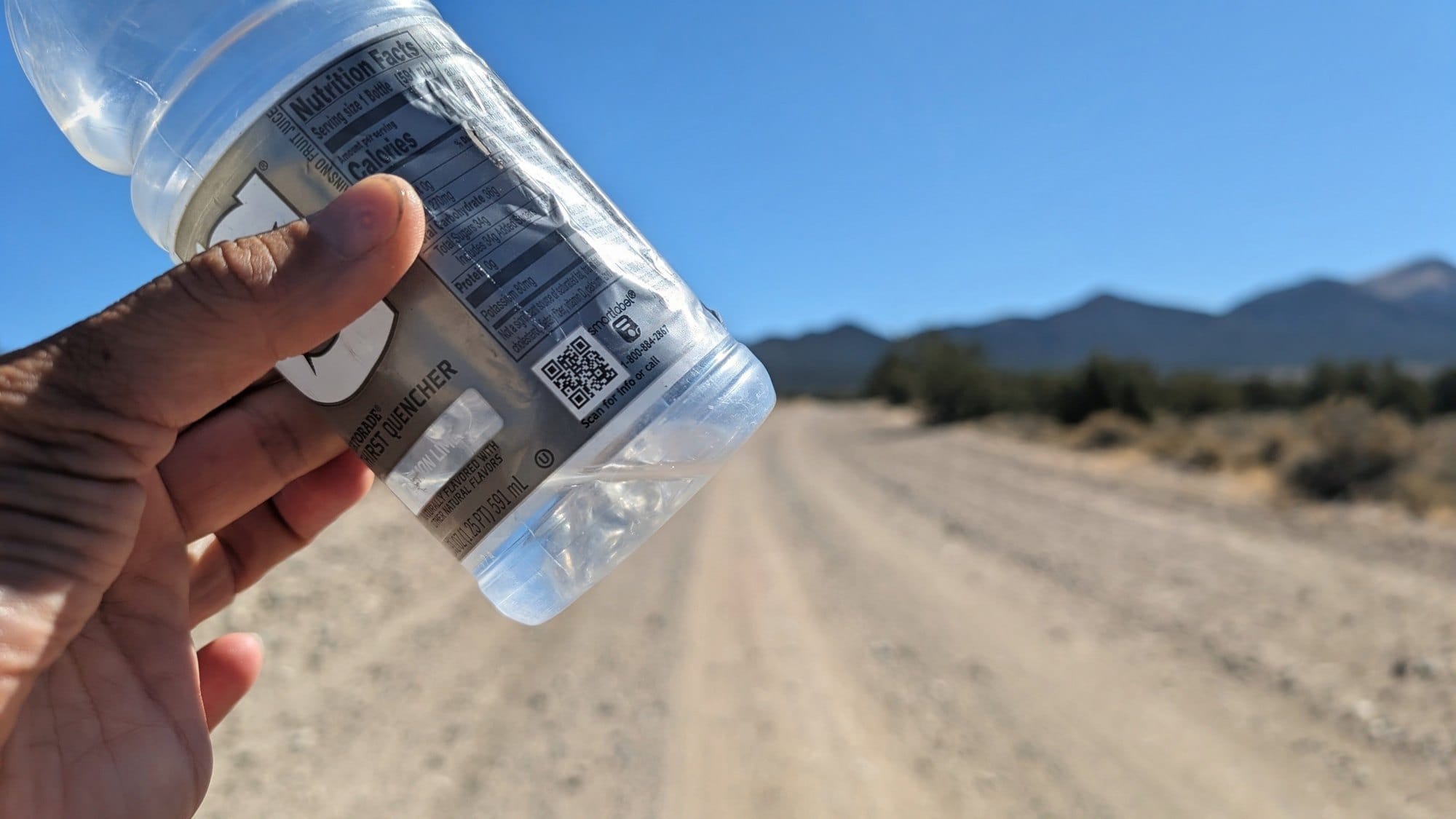
At 12:05 p.m., about a mile outside Ione, his bottle was down to the last inch.
Ione
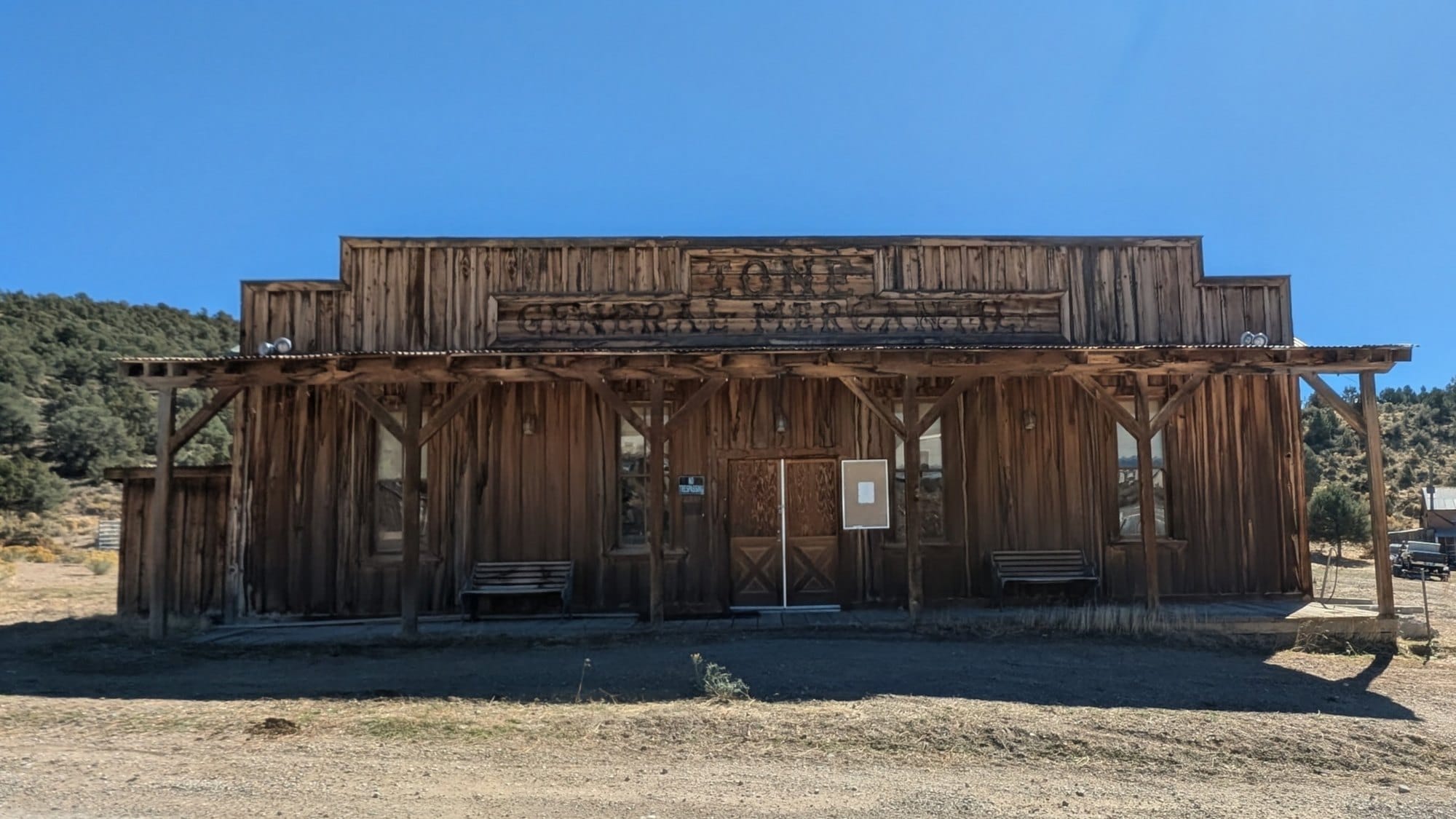
Ione's welcome sign puts the population at 41 and the elevation at 6,782 feet. The town was founded in 1863 as the first county seat of Nye County, and the sign calls it the town that refused to die.
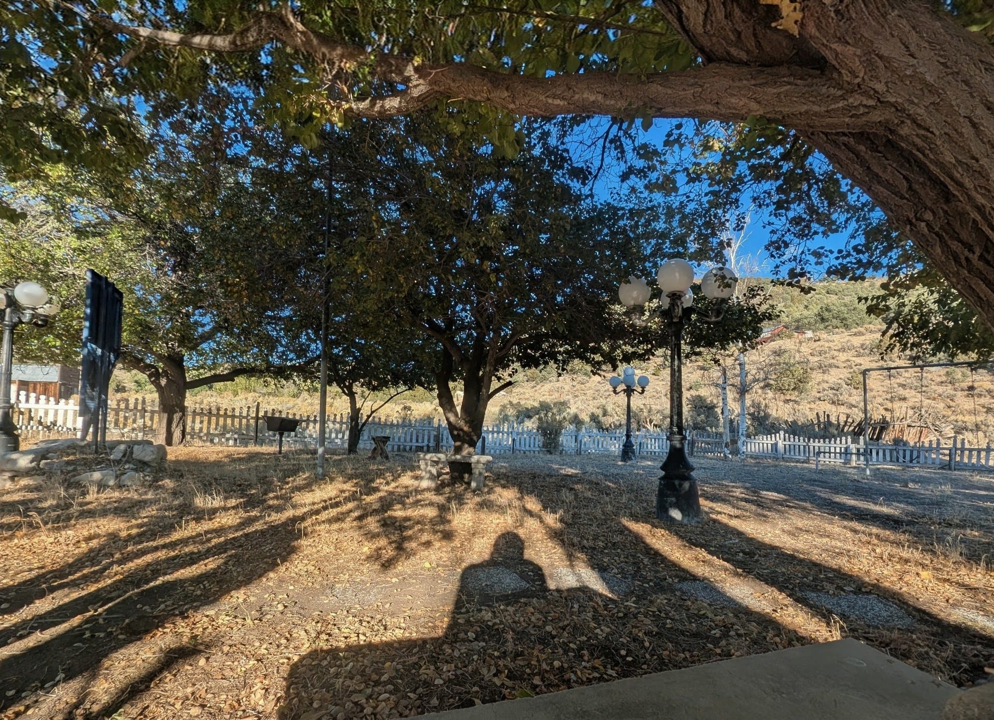
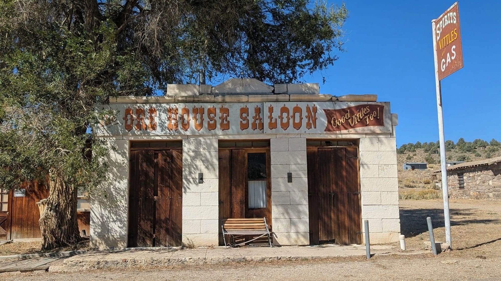
The pump in the town park wasn't working. He found water in town anyway and spent the afternoon in the shade of the park's trees. That evening he made the call.
Rhiis 'Rhiis&Sara' Lopez
Began: February 21, 2025 - Cape Henlopen, DE
2025 Season ended: November 5, 2025 - Julesburg, CO
Restart: March 10, 2026 - Illinois/Indiana Line - Southern Route
FlipFlop: September 10, 2026 - Limantour Beach - Eastbound
2026 Season ended: October 15, 2026 - Ione, Nevada
Support Links: ImHikingAmerica, TrailJournals, YouTube, Venmo
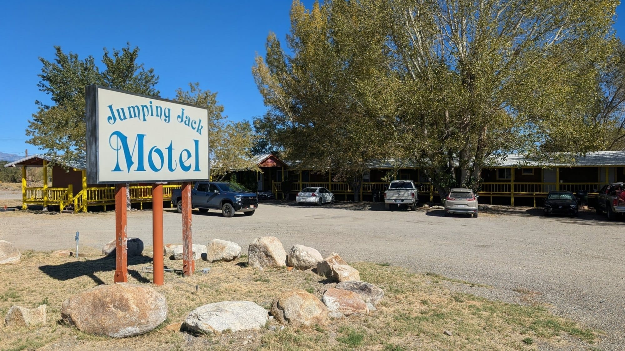
Austin, who manages the Jumping Jack near Carvers in the Big Smoky Valley, drove close to three hours each way to get him. It wasn't the first time he'd driven out for a hiker, but it was one of his longest. A care package was already waiting for Rhiis at the motel. He was home in California on October 18.
Middlegate to Ione this fall
On day one, water comes from creeks and stock troughs, and the creeks were dry by midday on October 14. Day two has no confirmed water until Ione. Fill up at the last trough with enough to reach town, and don't count on the park pump.
East of Ione, the route crosses the Toquima Range, and the plateau climbs above 10,000 feet. On October 15, the northeast-facing bowl past Windy Pass already held hard snow from the previous weekend's storm. If you're headed up there this fall, check the forecast and the Alta Toquima Wilderness regulations before you go.
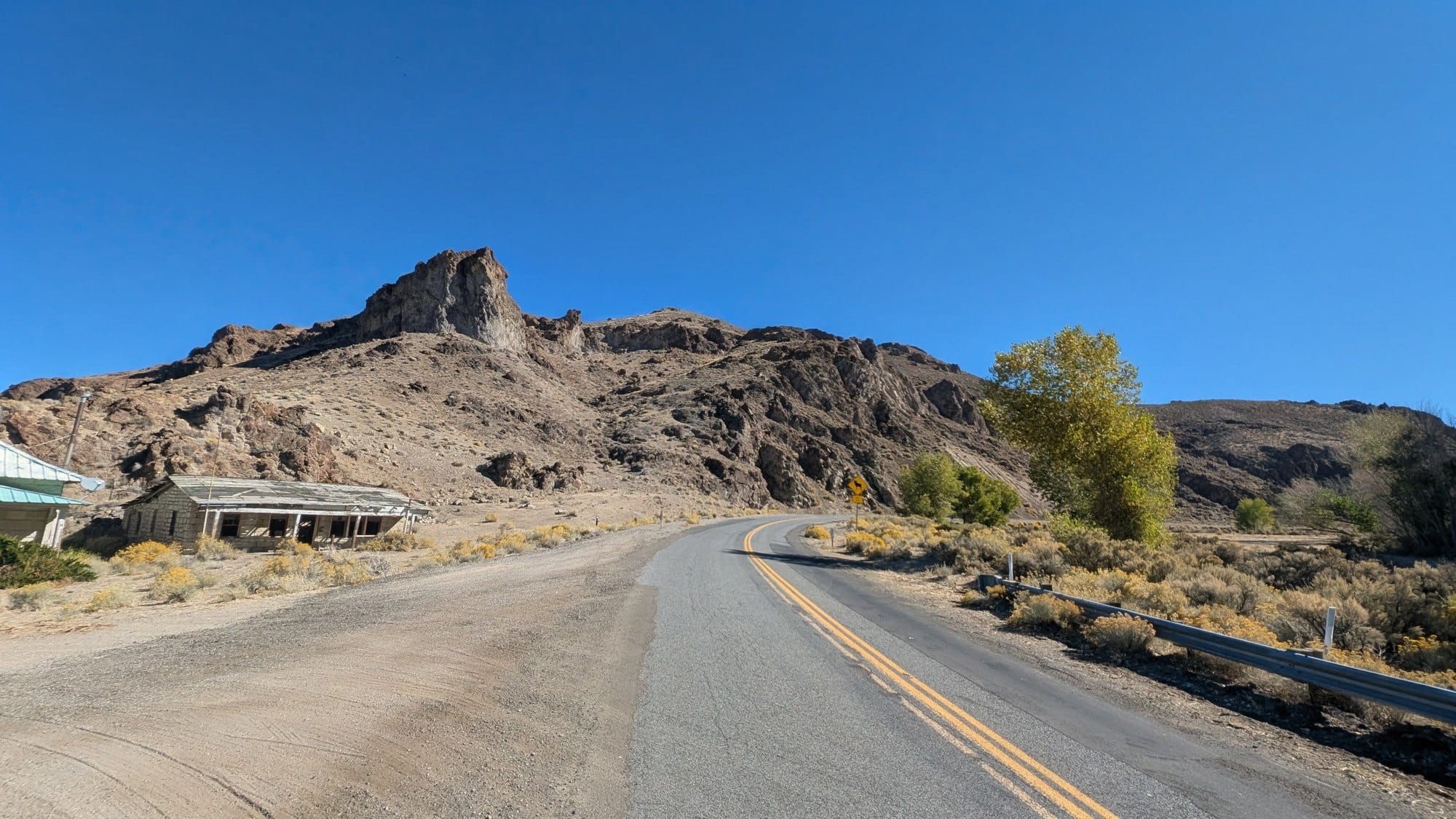
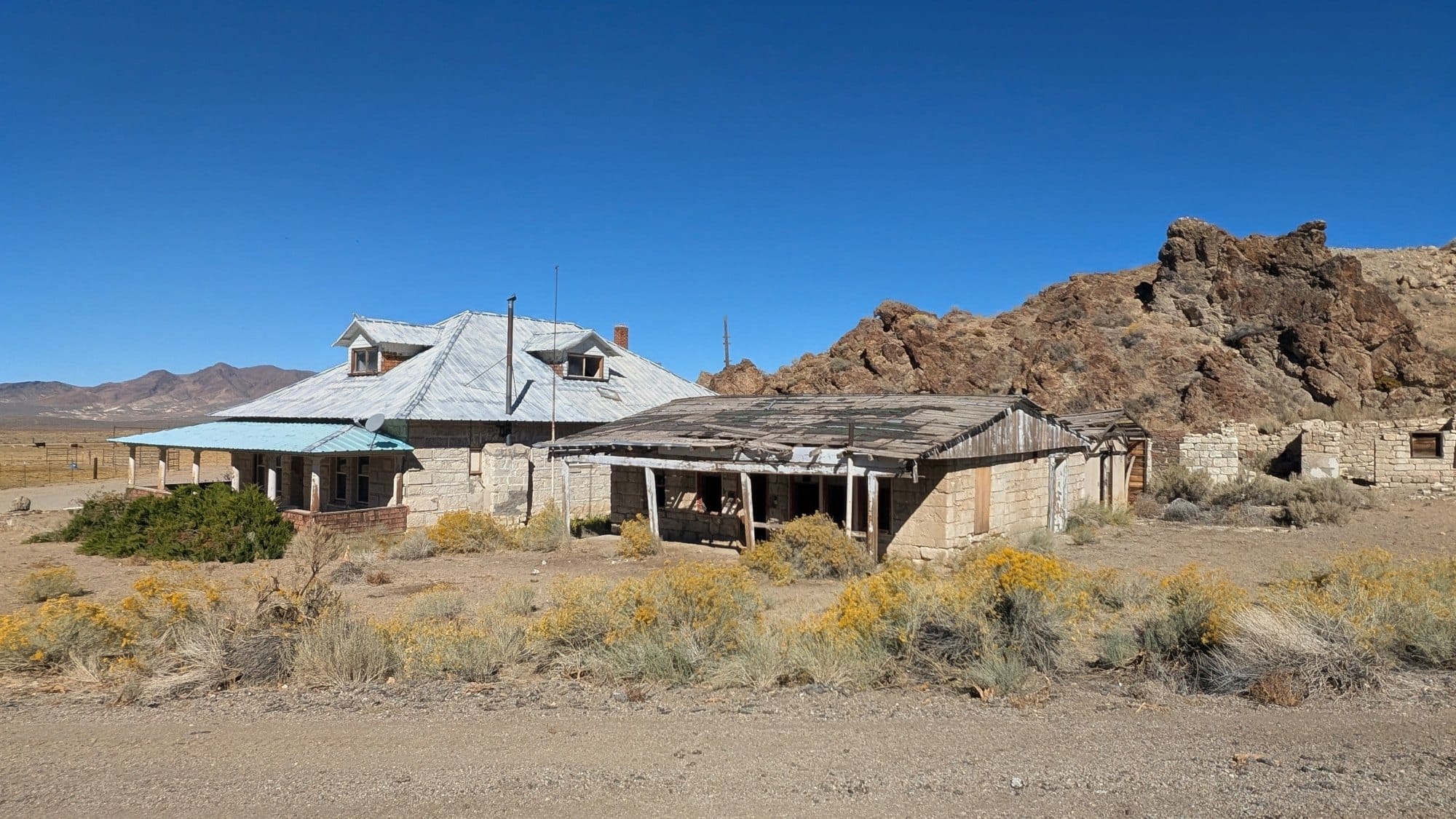
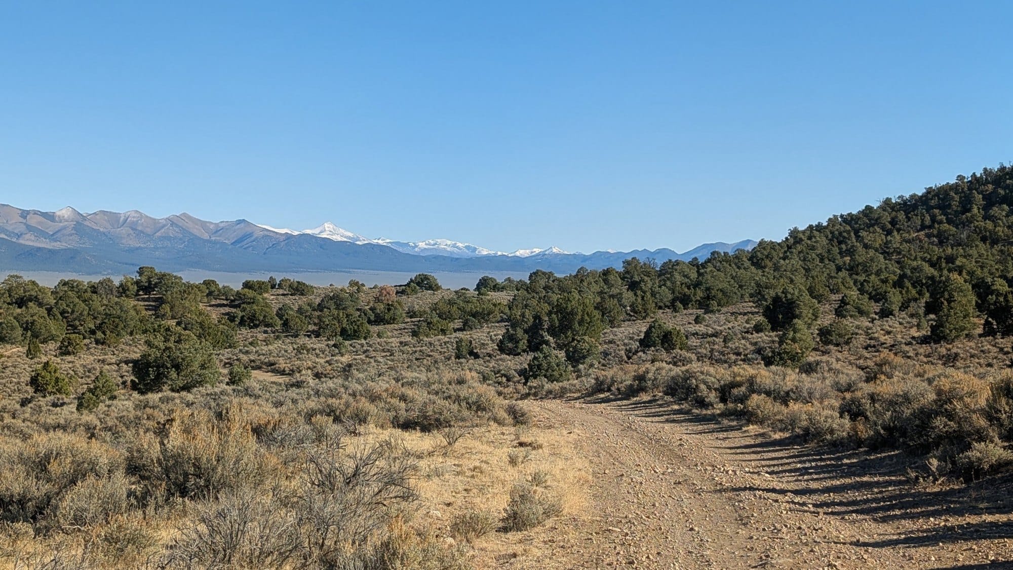
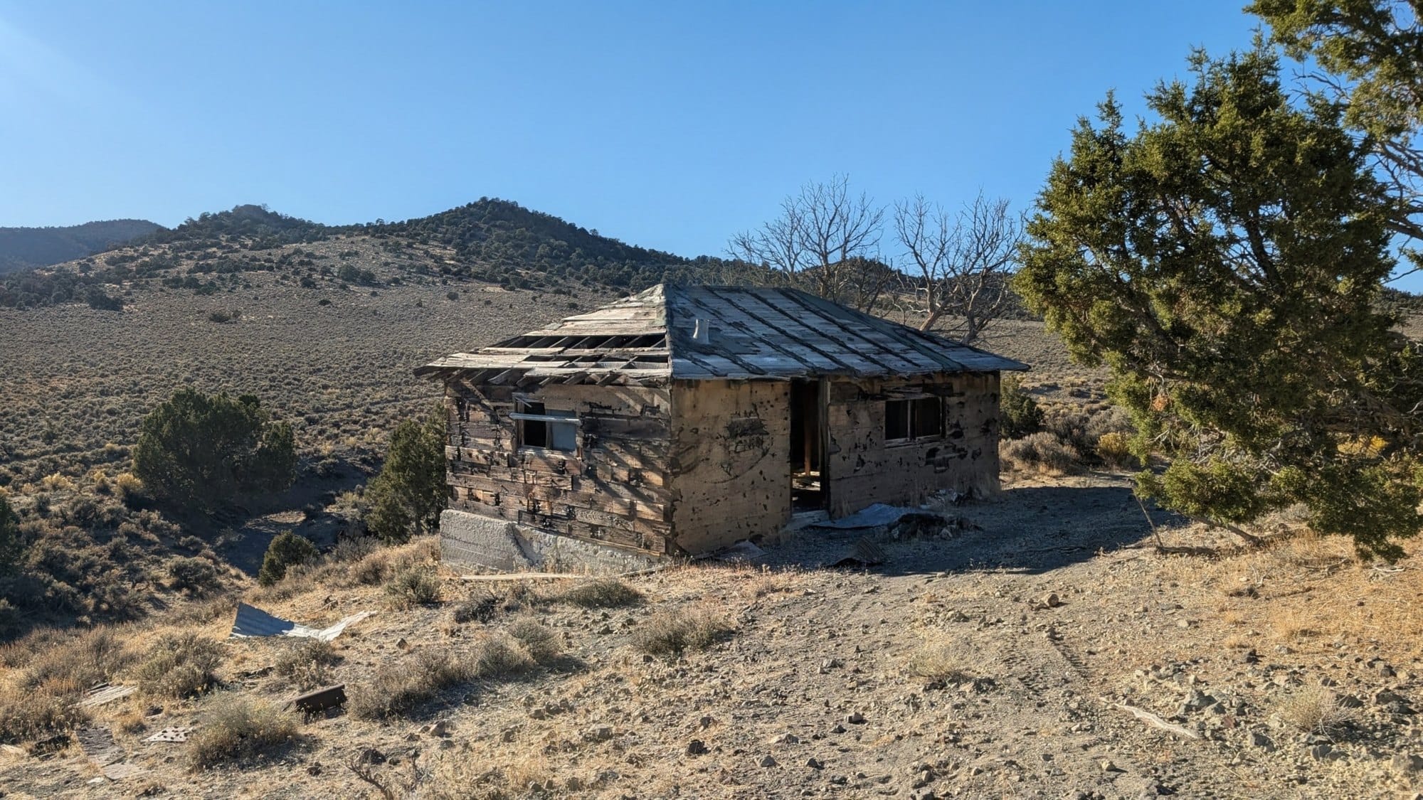
October 14 and 15, Middlegate to Ione. Photos: Rhiis Lopez
In the guides
Rhiis's notes from those two days are already in the Nevada turn-by-turns and Gaia data: water status at every creek, trough, and tank he passed, campsites along the way, and what he found for water in Ione. ADT GPS data is subscription-only, and members get it on the ADT guides page.
Rhiis's notes from the other end of the trail are also in the free Delaware guide that comes with the first email of our free planning course to the ADT.
Free Email Course · Six Parts
Six emails, one every two weeks, on the planning decisions specific to the American Discovery Trail, starting with which of its two routes to walk. The first one arrives the moment you sign up, with the complete Delaware turn-by-turn guide and its live Gaia GPS folder, free.
One email every two weeks, six in total. Unsubscribe whenever you like. What the six cover