
One went west, one joined the relay
Rhiis is walking the California coast, Sara is coordinating part of the American Discovery 250 Relay, and Tyler Reiser has walked from Colorado to Indiana. What all three sent in this month - 1,100+ new waypoints. 👀

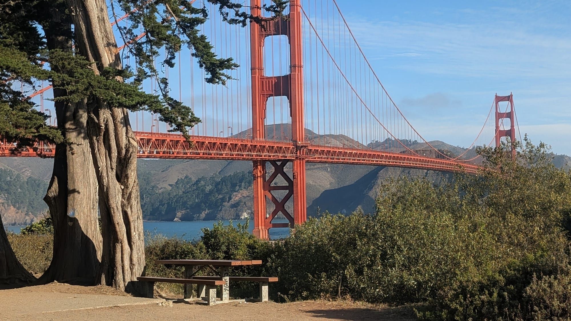
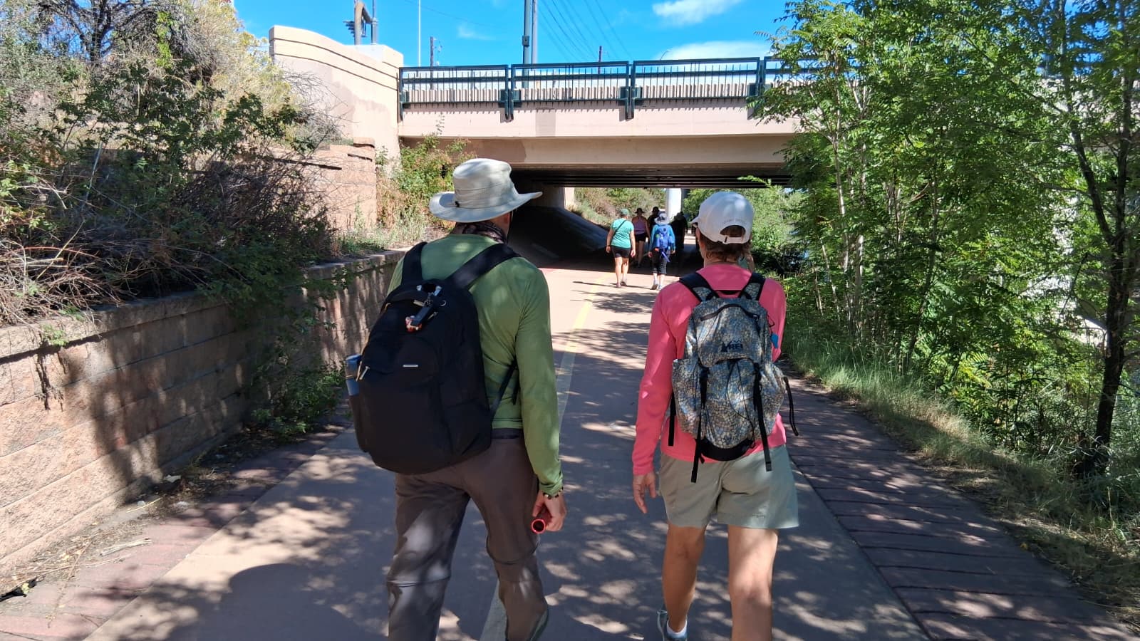
Rhiis and Sara hiked the ADT together until southern Colorado, where this summer's heat beat them. They leapfrogged north to Denver, and from there each took on something different for the rest of the year.
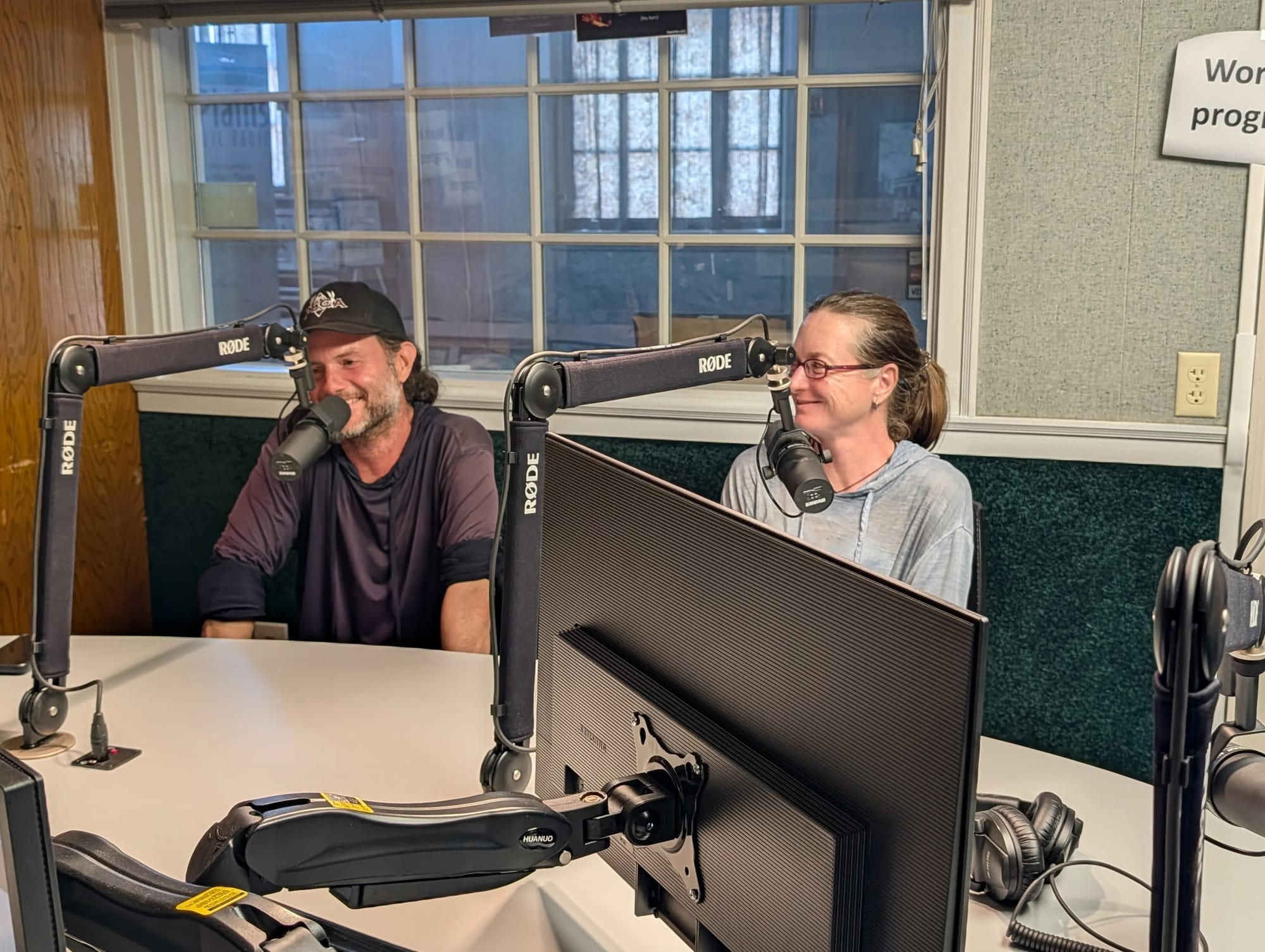
Rhiis & Sara
Westbound - Southern Route
Began: February 21, 2025 - Cape Henlopen, DE
Paused: November 5, 2025 - Julesburg, CO
Restarted: March 10, 2026 - Illinois/Indiana Line - Southern Route
September 2026 -
Rhiis - Flip-flopped to Limantour Beach - Eastbound in California
Sara - American Discovery 250 Relay Northern Route Coordinator
Support Links: ImHikingAmerica, TrailJournals, YouTube, Venmo
Rhiis turned west and walked the trail to Grand Junction. Sara stayed and took a job with the American Discovery 250 Relay, coordinating its northern route.
"Working for the American Discovery 250 Relay has been a really rewarding experience," Sara told me this week. "It has been a blessing. And it's been fun to drive the same trail that I've walked before."
She has walked it. The two of them finished the ADT northern route last fall. Every mile she's coordinating now is a mile she covered on foot a year ago.
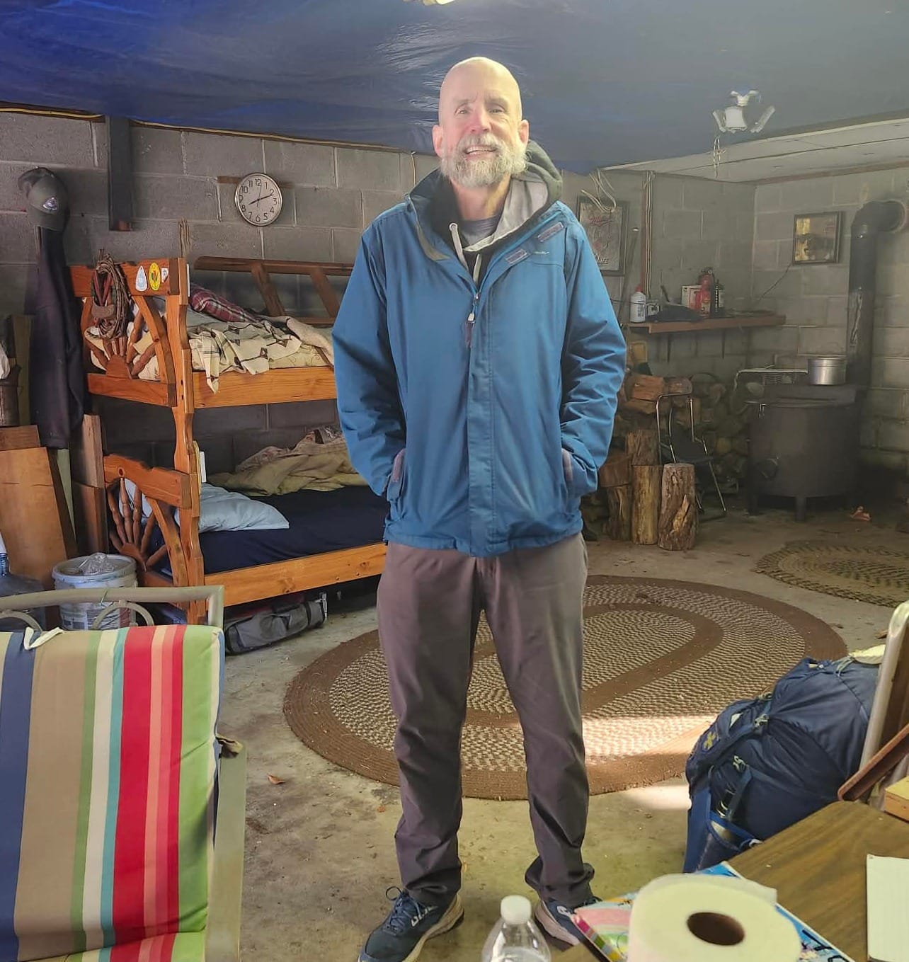
Michael Leland
Eastbound - Southern Route
American Discovery 250 Relay - Southern Route Coordinator
Mike Leland is running the American Discovery 250 southern route.
Sheridan, September 8
The relay reached the confluence of the northern and southern routes in Sheridan on September 8, and a crowd turned out: a state senator, two local judges, three local mayors. That confluence is the first waypoint in Colorado North Segment 1, where the trail's two Midwest prongs meet.
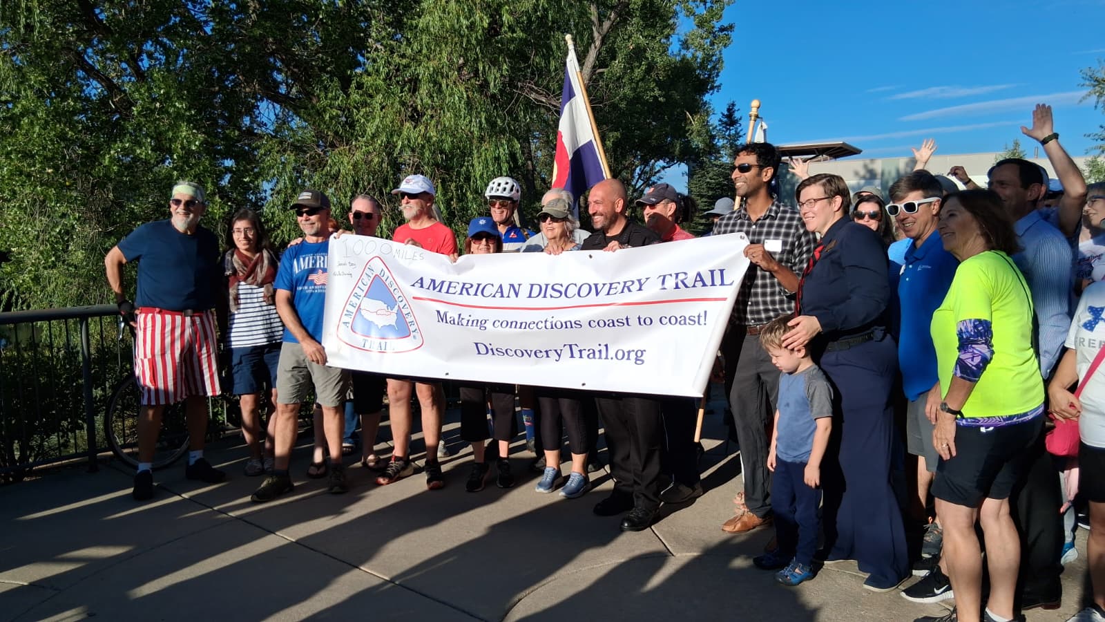
From there it heads east toward an Atlantic finish on Thanksgiving Day.
Rhiis went west, then to the other end of the country
He reached Grand Junction in the first week of September and sent back 278 waypoints from the Colorado stretch, 128 of them campsites.
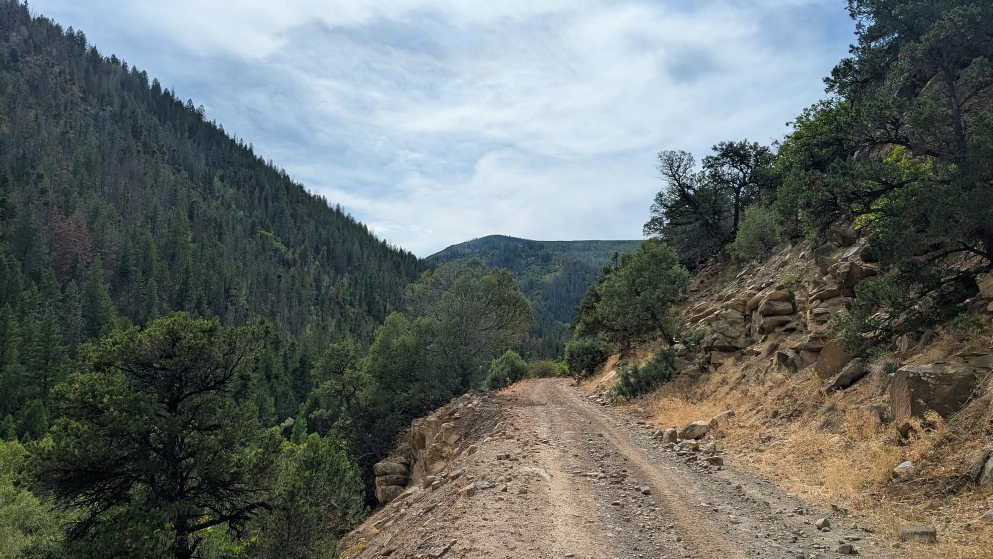
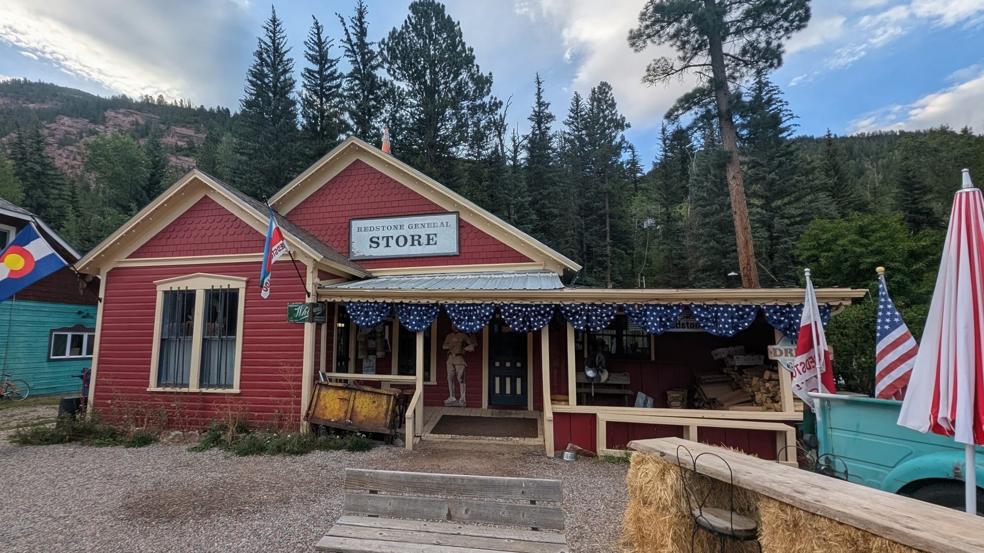
Then he flip-flopped to Limantour Beach, the western terminus, and started walking back east. He's through the first three California segments, 125.6 miles from the beach to Contra Loma, and past Contra Loma into Segment 4 this week. 44 entries are in the guides already, and 251 more waypoints came in alongside the Colorado ones.
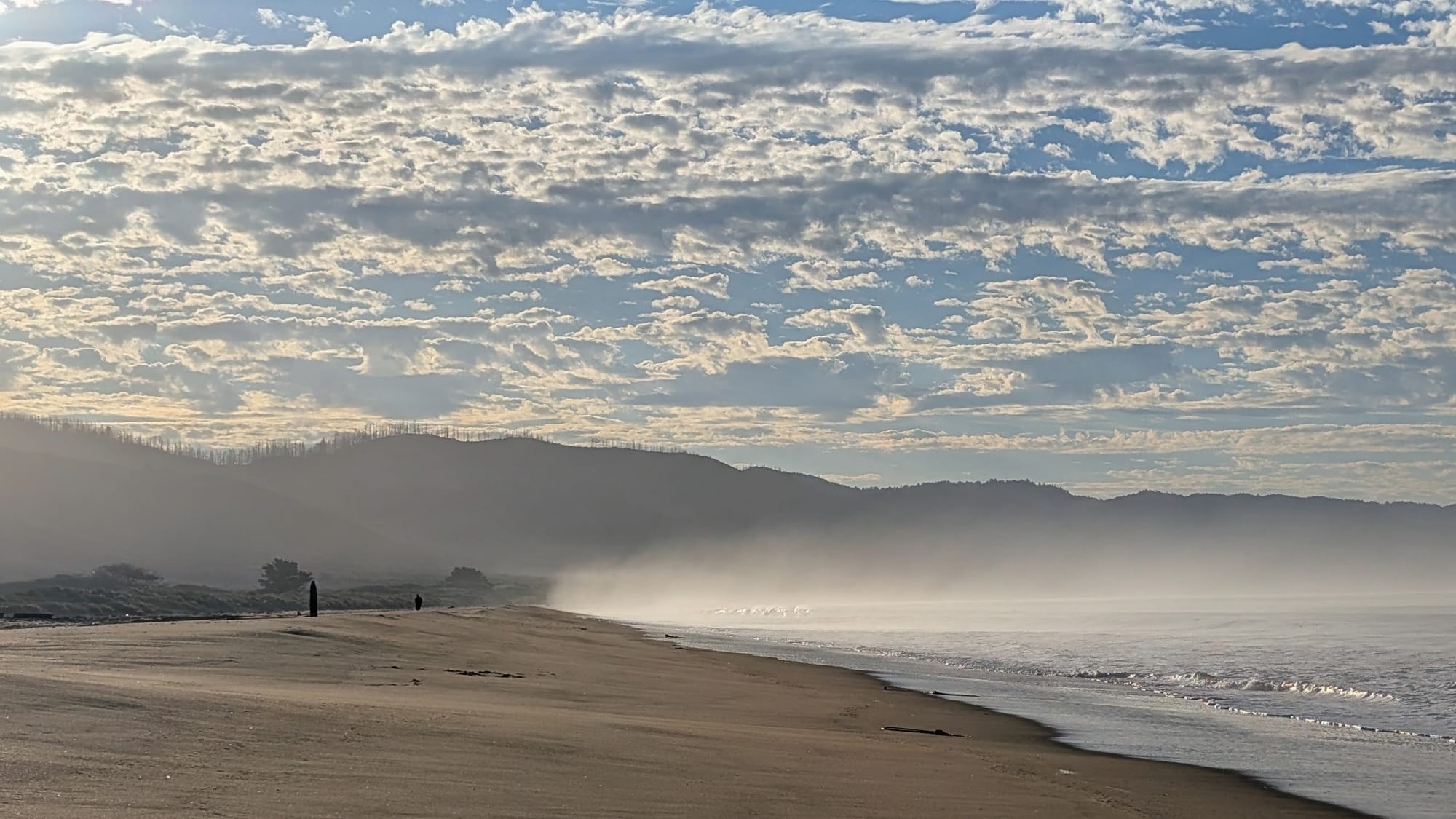
Legal camping through the Bay Area is scarce. Kirby Cove books out months ahead. Tilden Regional Park allows camping only at its group site. Briones is group campgrounds only. Book those miles early. Because of Rhiis, the lodging listings between the western terminus and Antioch are a good deal longer than they were, each with the distance off trail and what you'll find when you get there.
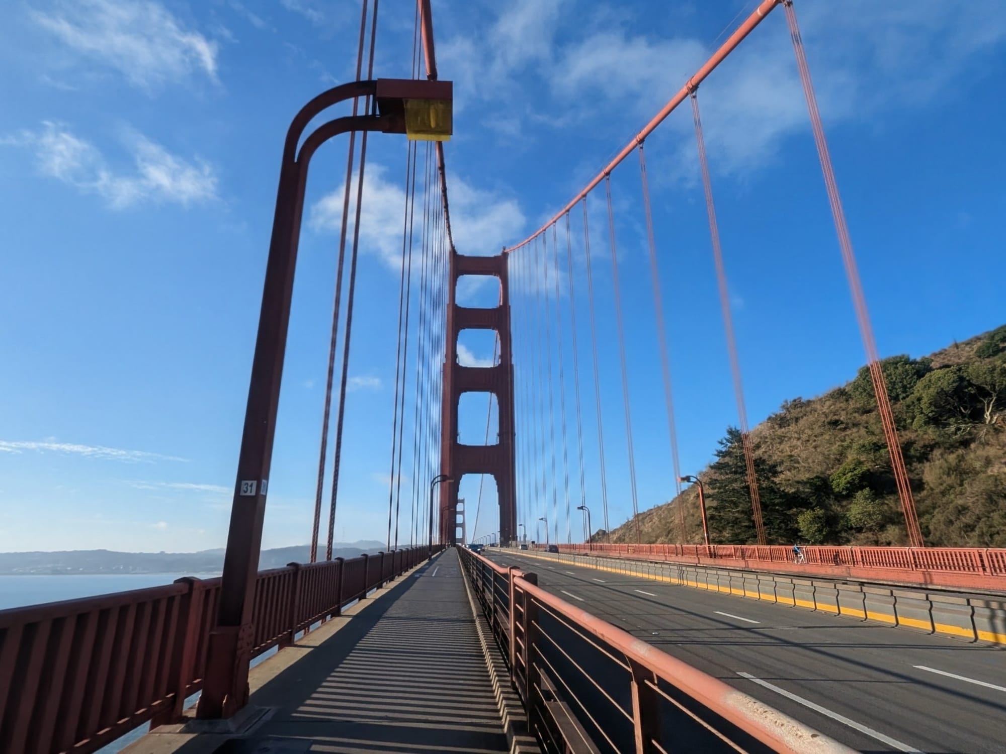
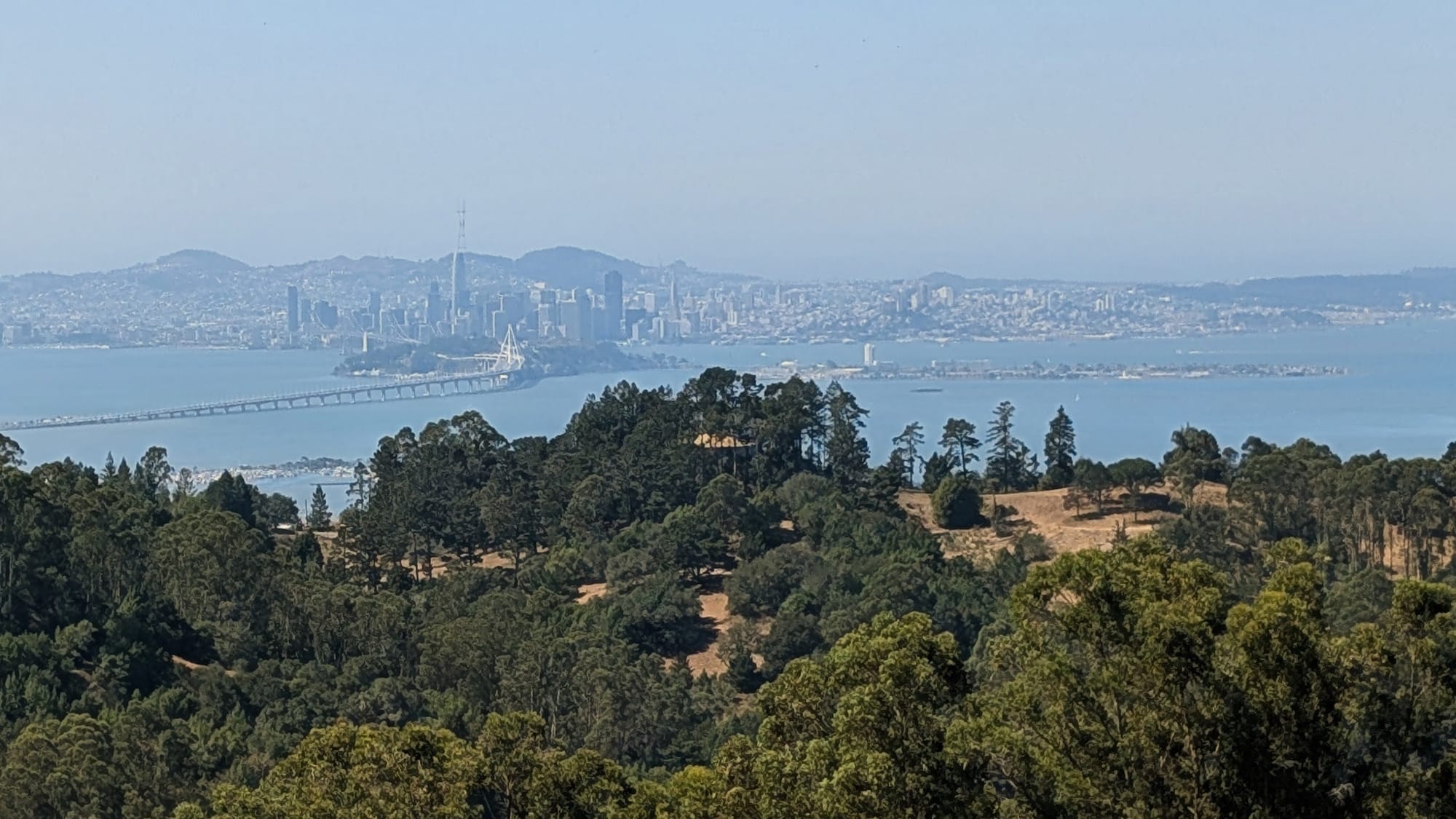
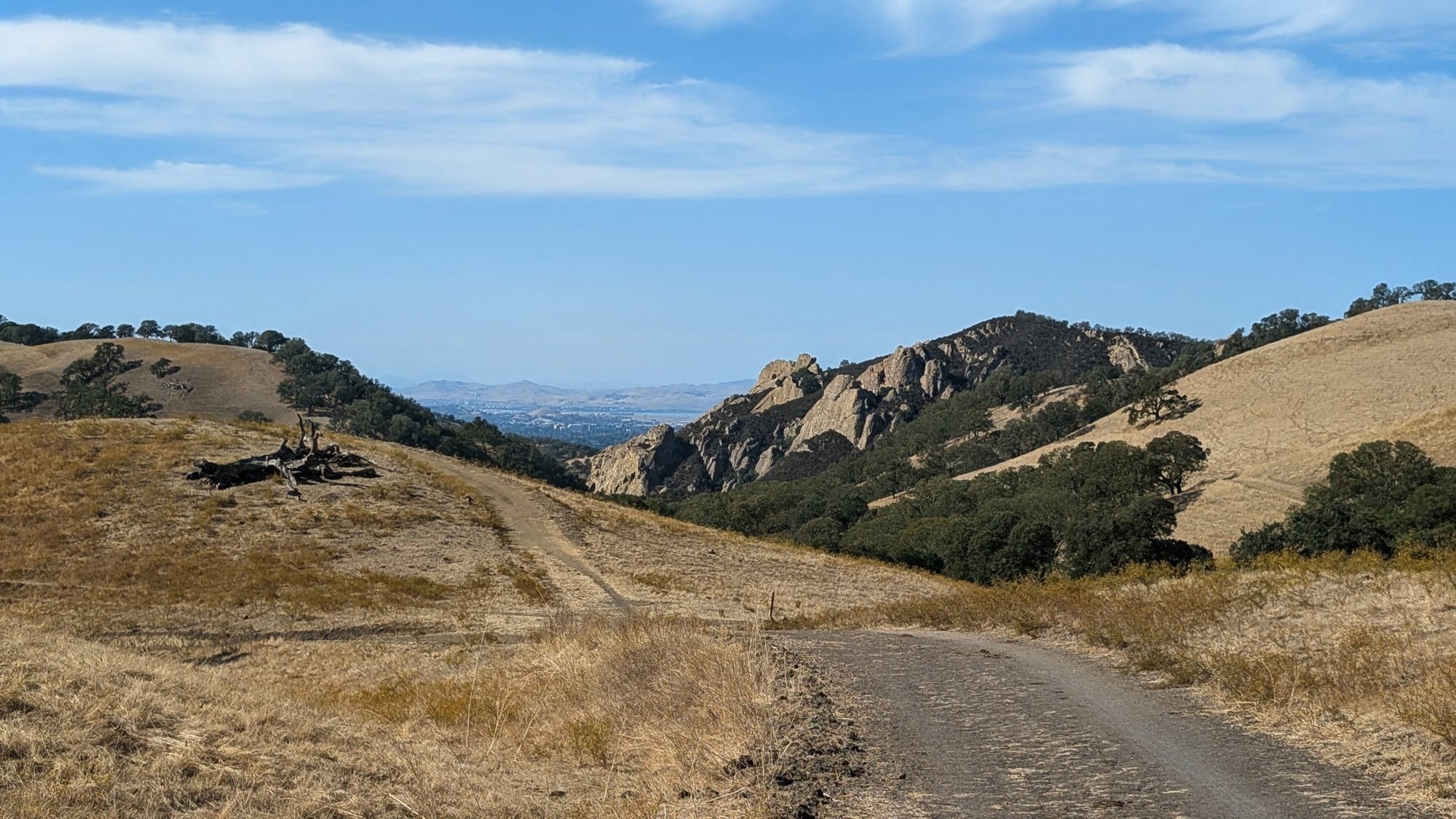
A lot of his work has been post offices. 13 across California and Colorado now carry a verdict. 7 accept General Delivery. 6 don't. The ones that accept it don't agree on the rules. One holds a box 15 days, another 30. One wants a phone call before the package ships, another wants a letter saying you're hiking and giving an estimated pickup date. One will refuse the package outright if it's addressed to the street address instead of "general delivery." Three Oakland post offices in the guide still say "Unknown if general delivery accepted." That's my handwriting, and it's still an open question.
Colorado North
Colorado North Segment 1 runs 238.5 miles from the Sheridan confluence to the Nebraska line past Julesburg. 24 new entries went into it this week.
Most of them are water. One marks a source and then tells you not to drink it, since it sits between cornfields and an active mining operation. Another confirms the hydrants at a town park are on, which matters in September, when plenty of them aren't.
Tyler 'Iceman' Reiser
Westbound - Western Route
Began: April 16, 2026 - Moab, Utah
Flip-flopped in Limantour Beach - now Eastbound on Southern Route
Support Links: Trail Journals
620 more waypoints, going in now
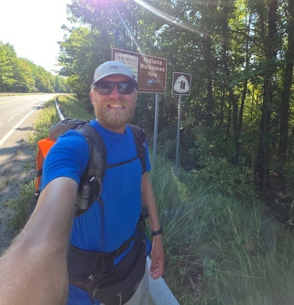
Tyler Reiser sent in 620 waypoints covering July 14 through September 16, from Pueblo and Colorado Springs east across Kansas, through Missouri on the Katy Trail, over the Mississippi and across Illinois into Indiana. He reached Evansville on September 16. They're going into the turn-by-turn, segment by segment, starting with Kansas.
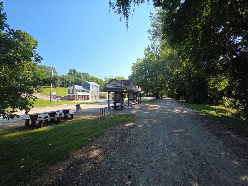
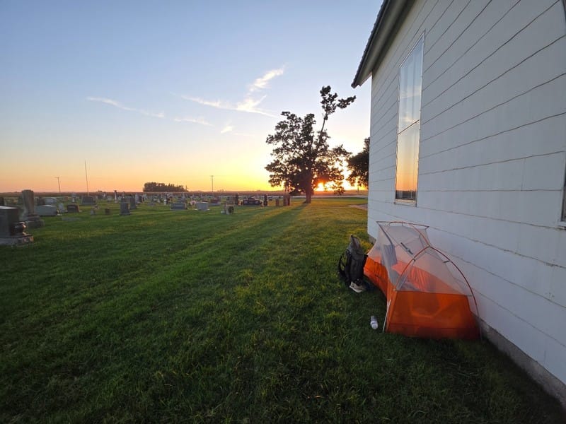
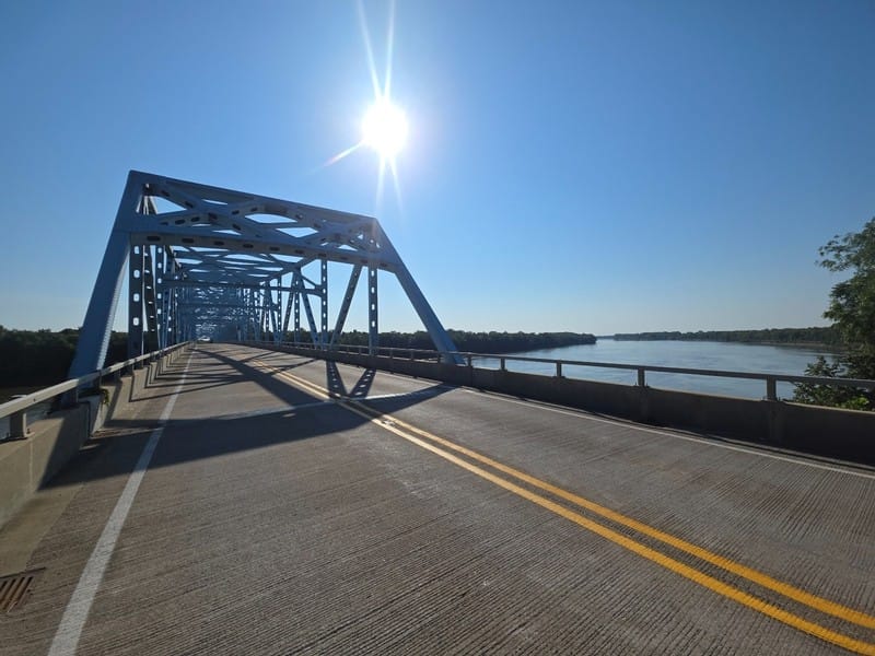
225 of the 620 are water. 61 are transit: bus stops with route numbers, which side of the road each serves, and the hours the route runs. Transit is thinly documented on this trail, and on the southern route it's how you reach a town that sits off the corridor.
17 record something that changed on the ground. A restaurant out of business. A Walmart that's now an empty building. A closure sign still posted on a trail that's open. And a stop on the Katy Trail where the official trail planner lists water and there is none, with the town spigots posted non-potable.
Before you go
Hiking America's segment PDFs are versioned. If you're carrying an older California or Colorado North file, for instance, download it again. Gaia GPS data is updated automatically.
All of our ADT turn-by-turn guides and the Gaia GPS waypoint layers come with a Hiking America membership.
And if you're out there this fall, send notes. Everything above came from three people standing on the trail this season, and Rhiis and Tyler are still walking east. The ones worth the most go stale fastest: a spigot that's on, a store that closed, a closure sign still up after the closure ended. Coordinates help. Dates help more. ⛰️
Hike Your Hike - John. 🥾

