
What Your GPS Track Won't Tell You on the American Discovery Trail
A route line shows where the American Discovery Trail goes. Trail intelligence tells you where to drink, resupply and sleep. Here's how to check your map for it.


TL;DR: Most people planning the American Discovery Trail assume a downloaded route line is all the map they need. A route line shows where the trail goes and where to turn, but not where to drink, resupply or sleep, and that missing piece is trail intelligence. It has five parts: turn-by-turn directions, water, resupply, places to camp, and what's changed on the route. You can check the map you already have for all five today.
Most people planning the American Discovery Trail start the same way. Find the route, download the GPX, load it on a phone, and plan to follow the line across the country. That's how a lot of the hikers who write to me started, and plenty of them find out what the line leaves out a few weeks in. 🥾
You'll need that line, and you can see all of it on our free coast-to-coast poster map. Follow it on your phone and you'll turn where it turns. It won't tell you where the next safe water is, where you can sleep tonight, or whether tomorrow's town has a grocery store or just a post office. That's trail intelligence.
In this post
- Is the American Discovery Trail Marked, or Do You Follow a GPS Track?
- What Is Trail Intelligence, and Why Doesn't a Route Line Include It?
- What's in Hiking America's ADT Trail Intelligence: Turns, Water, Resupply, Camp and Route Changes
- How Planning an ADT Day Changes When You Can See What's Ahead
- How to Check Your ADT Map for What It's Missing
- Maps and Trail Intelligence FAQ
Is the American Discovery Trail Marked, or Do You Follow a GPS Track?
In places, yes. On long stretches, not in any way you can count on. The ADT links backcountry trails, urban greenways and rural byways, and the signage changes every time the route moves from one to the next.
Where it follows a named trail, you can follow that trail's own markers. On county roads and through farm country, there may be nothing telling you the ADT passes through at all. So most hikers end up following a GPS track.
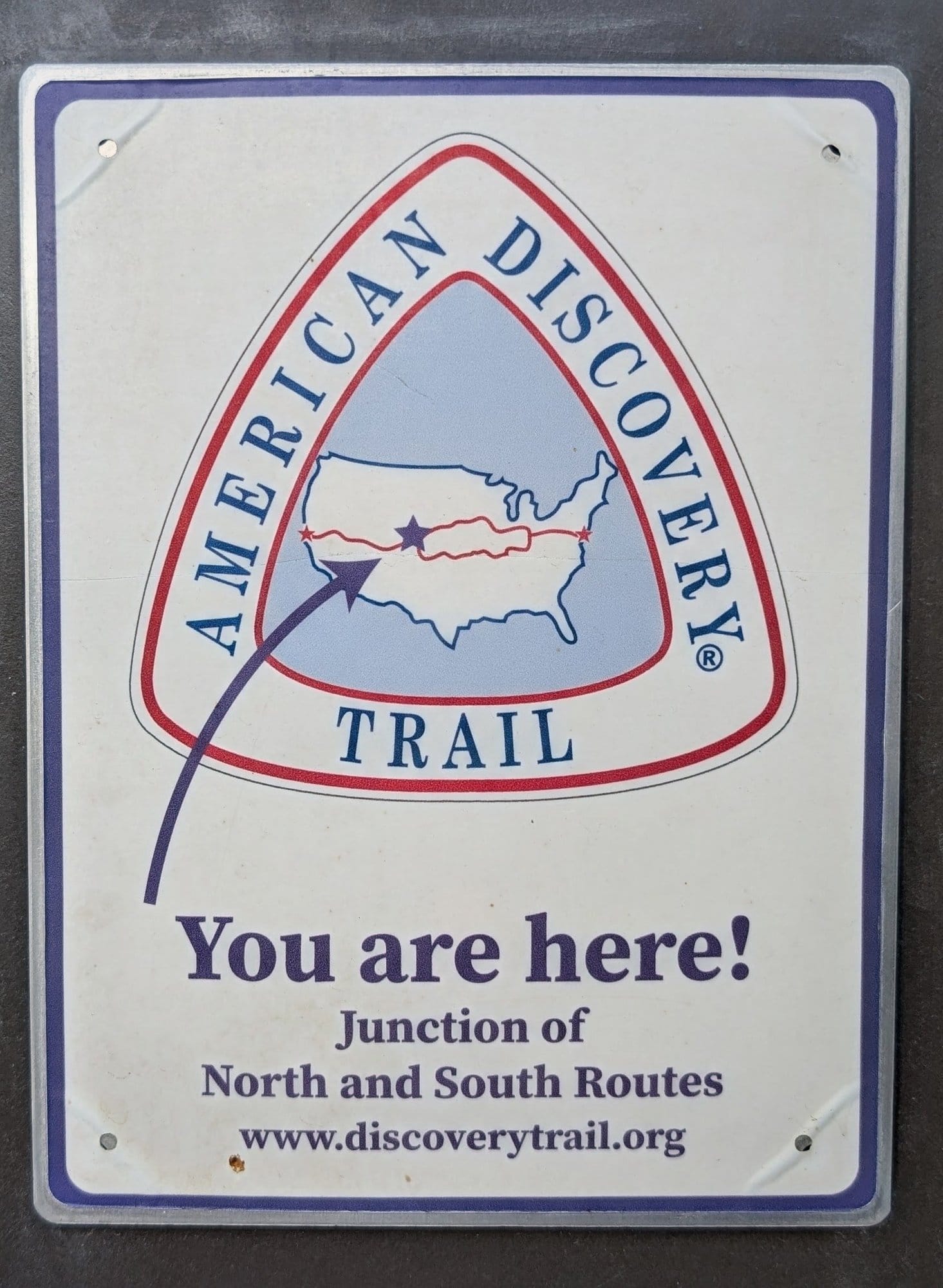
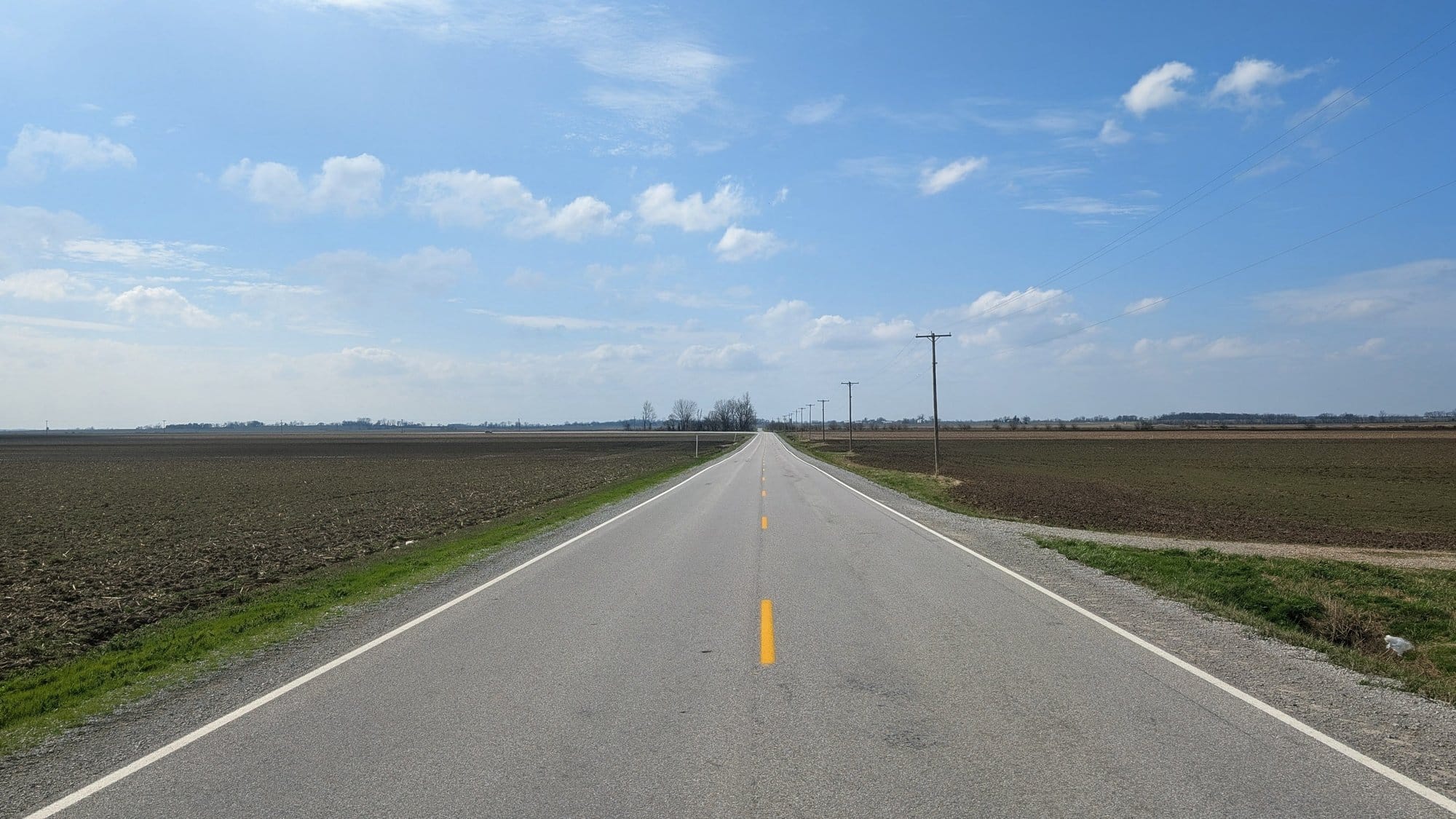
The marker where the northern and southern routes meet on Denver's Bear Creek Trail, and a county road in Gallatin County, Illinois. Photos: Rhiis Lopez
In 2005, Ken and Marcia Powers, the first couple to walk the whole trail, wrote in their journal: "We haven't seen any ADT markers or blazes in MO." Another day: "The trail disappeared in a soybean field." (Missouri Bicycle and Pedestrian Federation)
A track on a phone would have kept them on route. It wouldn't have told them where to get water or where to sleep that night.
Brad and Kay McKim reached Round Bottom Road in Ohio this October and skipped three miles of it, the road walk hikers call the worst on that segment. On a GPS track it's just more line.
What Is Trail Intelligence, and Why Doesn't a Route Line Include It?
Trail intelligence is everything you need to know besides the route line: turn-by-turn directions, water, resupply, places to sleep and route changes. With it you can plan a day and know what's waiting at the end of it.
Hikers call pieces of it waypoints, a data book or turn-by-turns. On the Appalachian and Pacific Crest trails, guide apps bundle it with the line, so most hikers never have to think about it separately.
Briana DeSanctis hiked the Appalachian Trail before she soloed the American Discovery Trail, and she called the ADT "nothing like any of the National Scenic Trails." (Garage Grown Gear) I worked with her through her Nevada crossing.
A road atlas that shows only the interstate would get you to the other coast. You'd still want to know which exits have gas and a motel.
What's in Hiking America's ADT Trail Intelligence: Turns, Water, Resupply, Camp and Route Changes
Turn-by-turn directions add the distances, road names and hiker notes. Water is where to fill up and how far it is to the next source. Resupply is what a town actually sells, camp is where you can sleep, and route changes are what's different since the line was drawn.
Turns
The line shows you where to turn. Turn-by-turn directions add the road name, the distance to the next turn, and notes from hikers who walked it before you. On the ADT they have to work in both directions, because hikers walk it eastbound and westbound, and some flip partway through. And all of it lives on your phone. Printed, the maps for the whole ADT would run over 3,000 pages, so nobody carries paper.
Every note in my directions is dated and signed by the hiker who left it. Two days after Brad and Kay's report on Round Bottom Road came in, both turns at that stretch carried a caution: 2.6 miles between Beechwood and Binning roads, and line up a ride before you get there.
Water 💧
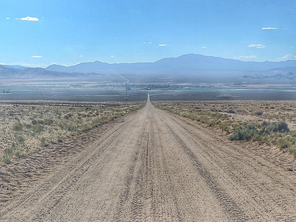
Where the next reliable source is, and how far. ADT hiker Matthew Hengst wrote that from western Colorado through Utah and into Nevada, the route is "not doable without water caches." (First Church of the Masochist) Water out there can be a ranch spigot or a cache set out weeks ahead.
Resupply
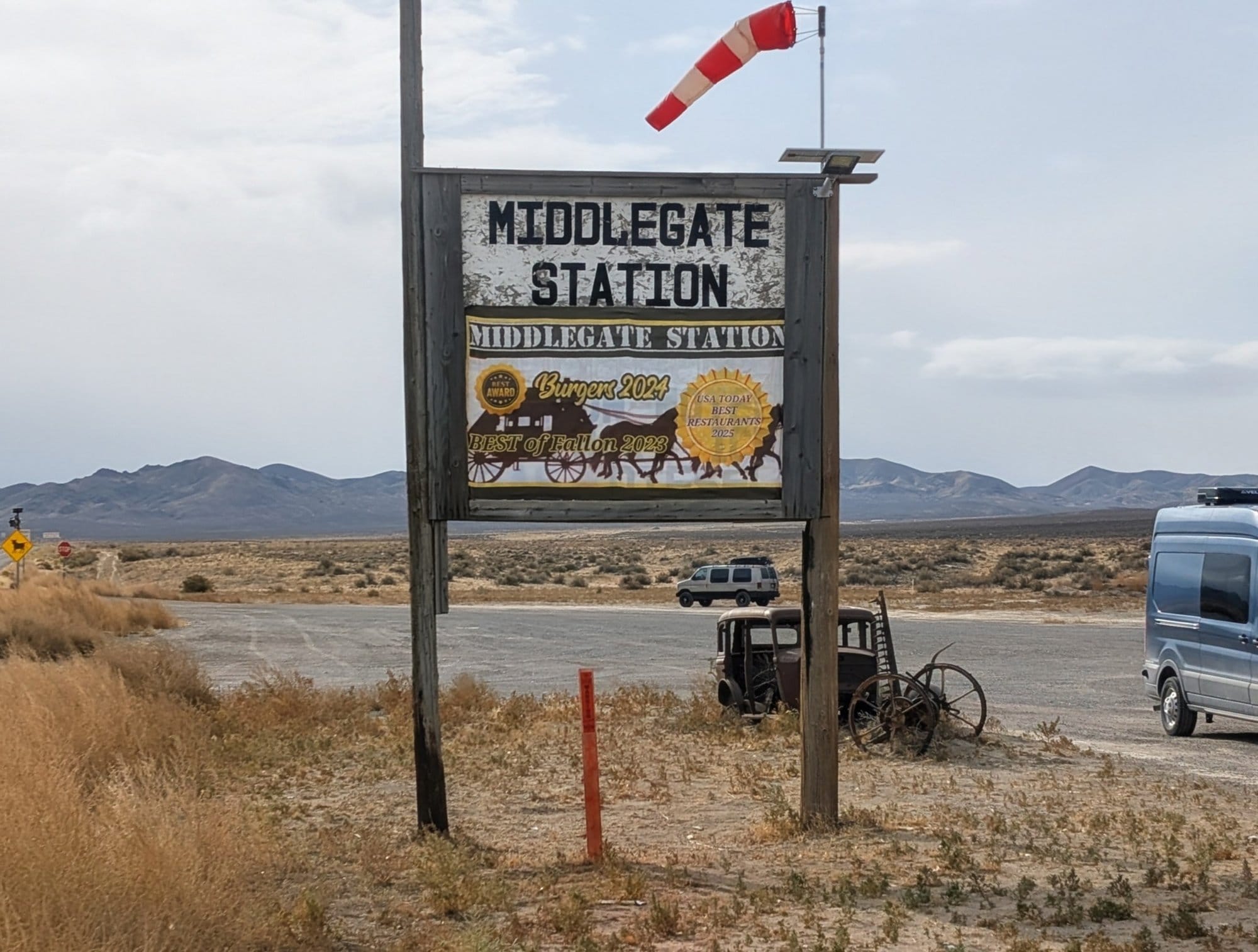
What a town actually has, and how far off the route it sits. I sort ADT towns into four tiers. A full grocery, like Ely in Nevada. A store that gets you by but isn't a full resupply, like the convenience store in Carvers. A restaurant and bar that holds packages but sells no trail food, like Middlegate. And places like Garrison, Utah: a post office, a working water pump at the head of 91 dry miles, and nothing for sale. Garrison's post office takes USPS only, because nobody's there when the UPS, FedEx or Amazon trucks come through.
Camp ⛺
Where you can legally and safely spend the night: campgrounds, parks, churches that welcome hikers, motels, and the long stretches with none of those. On a road walk you're asking "where do I sleep tonight?" every single day.
In the Shawnee National Forest in southern Illinois, Rhiis and Sara marked flat ground for dispersed camping along the River to River Trail. Near Redstone, Colorado, the county open space allows camping only at designated sites, so a spot that looks perfect on satellite view may be one you can't use. Check the local rules before you pitch a tent, wherever you are.
Route changes
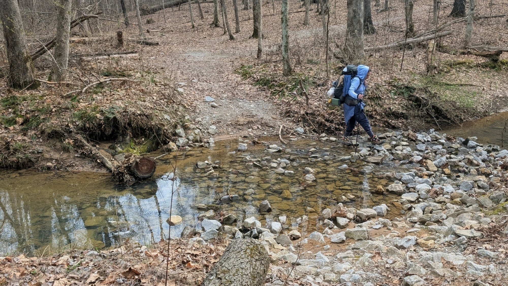
What's different this season: a closed bridge, a detour, a new section of greenway, a road that's become unsafe to walk. A downloaded file shows the trail as it was the day the file was made.
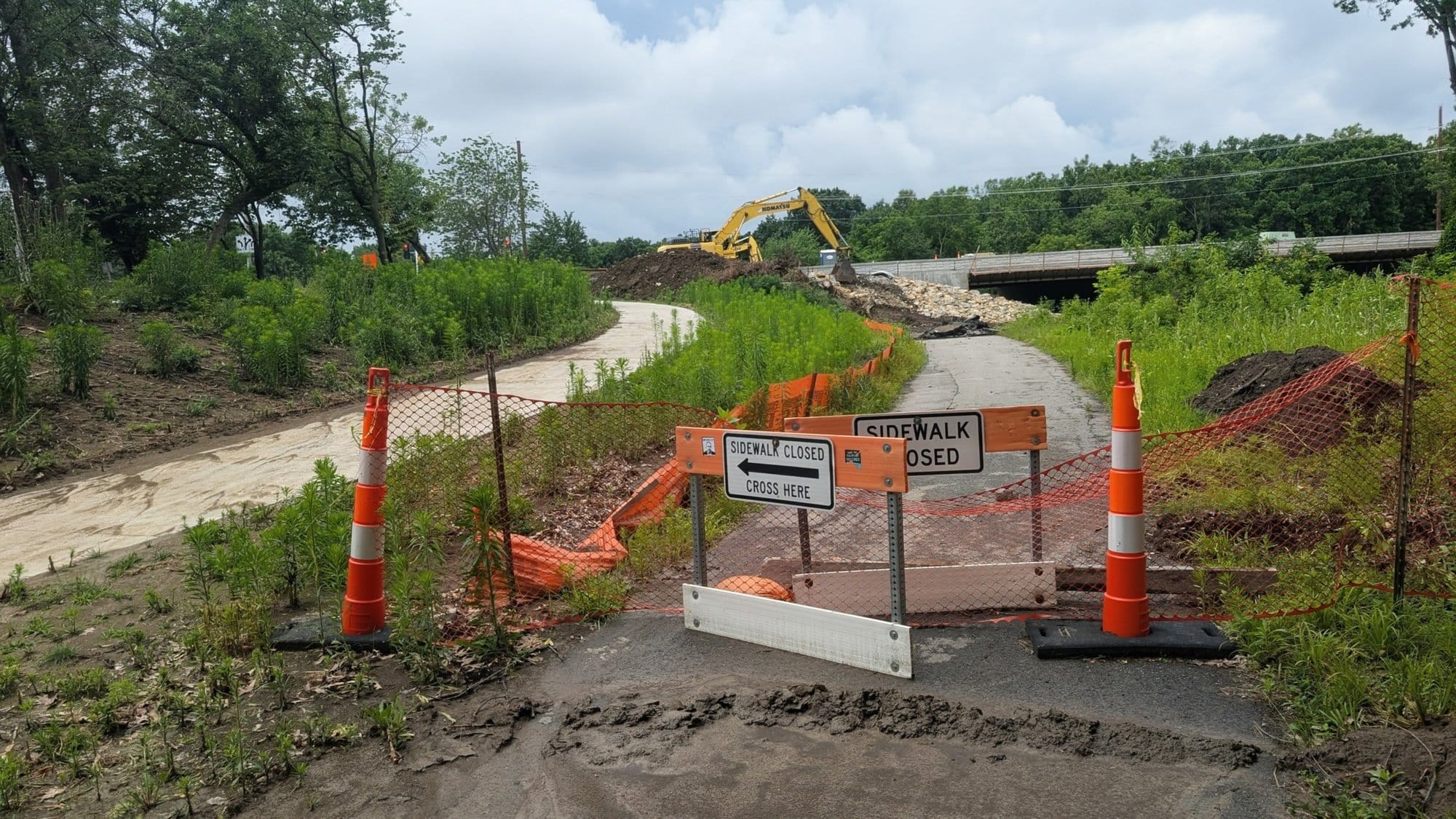
Hikers on the trail send me corrections all season, and each one goes into both the waypoints and the turn-by-turns. This October, the Bear Creek bridge closures in Colorado West Segment 4 went into the GPS data as a detour on real streets and paths, with a one-page detour sheet at the front of that segment's guide.
How Planning an ADT Day Changes When You Can See What's Ahead
With trail intelligence, "I'll do 20 and see where I end up" turns into a plan. Here's the first day westbound from Cape Henlopen, from the free Delaware guide that comes with the planning course:
- Mile 4.8: water at the public restroom on the trail in Lewes
- Mile 5.9: a supermarket 0.37 miles off the trail
- Mile 14.7: a market under half a mile off the trail in Milton
- Mile 21.9: a reservable campsite with a water spigot in Redden State Forest
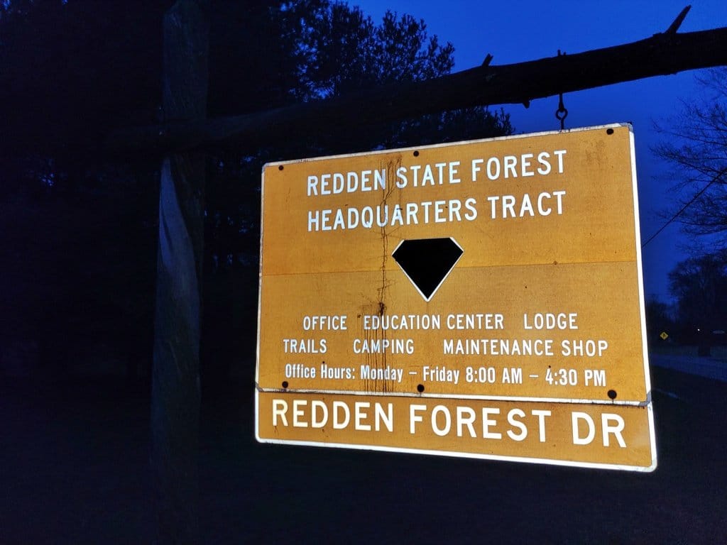
You know where you'll eat, drink and sleep before you take a step.
If you know the next camp is 6 miles past this one, you can decide at lunch whether to push on. If a road closes, a heat wave rolls in or a knee gets sore, you can see the options around you and pick one.
Steve Gefell left Cape Henlopen walking west in February 2025 and reached Moab in August, into more than three straight weeks above 100 degrees. He jumped to Limantour Beach in California and walked east instead, timed to reach the desert after the heat broke, and every waypoint already carried its mileage in his new direction. ☀️
How to Check Your ADT Map for What It's Missing
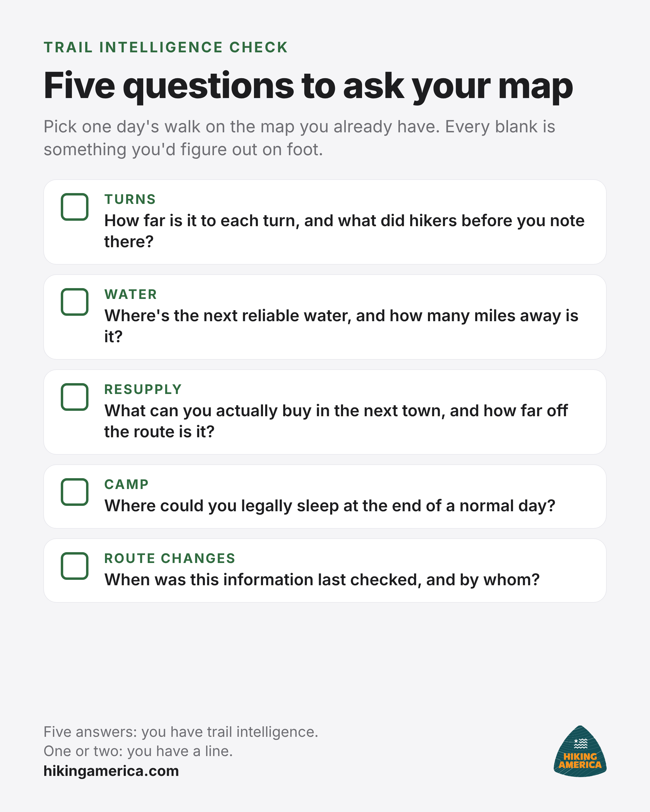
Open whatever ADT map or GPX file you have right now and pick one stretch, about a day's walk, anywhere on the route. Ask it these five questions. Every blank is something you'd be figuring out on foot, probably at the end of a long day.
- Turns: Do you know how far it is to each turn, and what hikers before you noted there?
- Water: Where's the next reliable water, and how many miles away is it?
- Resupply: What can you actually buy in the next town, and how far off the route is it?
- Camp: Where could you legally sleep at the end of a normal day?
- Route changes: When was this information last checked, and by whom?
If all five come back answered, you have trail intelligence. If you got one or two, you have a line. And before any day you actually walk, check local regulations and the current forecast too.
Most ADT planning starts with a line, so a few blanks are normal. ⛰️
Our free coast-to-coast poster map shows the whole route on one sheet, 36 by 24 inches or a 36 by 14 inch strip for a long wall: Download the free poster map
When you're ready to fill in the rest, the free six-part ADT planning course walks you through those questions in order: picking your route, planning around resupply towns, handling mail in the western desert, timing the seasons, staying flexible when conditions change, and getting from plan to trailhead. One lesson arrives by email every two weeks.
Free Email Course · Six Parts
Six lessons on the planning decisions specific to the American Discovery Trail, starting with which of its two routes to walk. The first arrives the moment you sign up, with the free Delaware turn-by-turn guide and its live Gaia GPS folder.
Unsubscribe whenever you like. What the six cover
Maps and Trail Intelligence FAQ
What is trail intelligence for a hiking trail?
Everything a hiker needs to know besides the route line: turn-by-turn directions, water, resupply, places to camp and route changes. The line shows where the trail goes. Trail intelligence tells you what's ahead, so you can plan a day around the next water source.
Is a GPX file the same as a map of the American Discovery Trail?
No. A GPX file usually holds the route line and little else. It will keep you on route, but it won't tell you which store is open, where the next safe water is, or where you can sleep. A full map of the trail puts that information on top of the line.
Do I need trail intelligence if I'm only hiking one section of the ADT?
Yes, maybe more. On a short section you have less time to learn the area as you go. One day's walk can include an unsigned turn, a long dry stretch and a town with no grocery store. Knowing those before you start makes a weekend section go a lot smoother.
Can I gather my own ADT trail intelligence with free tools?
You can. Some hikers scout camp spots on satellite view, look up stores and post offices one town at a time, and call ahead before long dry stretches. It works. It also takes a lot of time, since you research every junction and water source yourself, and none of it updates once you're walking.
What's the first step to check my ADT map today?
Pick one day's stretch on the map you already have and ask it five questions: how far to each turn, where's the next water, what's in the next town, where can I sleep, and when was this last checked. Every blank is something you'd otherwise be figuring out on foot.
Keep reading
- How to read Hiking America's turn-by-turn guides: what every row of a dual-directional guide tells you.
- Delaware on the American Discovery Trail: the whole 44.2-mile crossing in one free guide, from the Maryland line to Cape Henlopen.