
The Utah ADT Reopens Over Elk Ridge. The Burn Stays.
The Forest Service rescinded the Babylon Fire closure on August 20. The official corridor is legal again, and our 39.1-mile alternate stays on file.

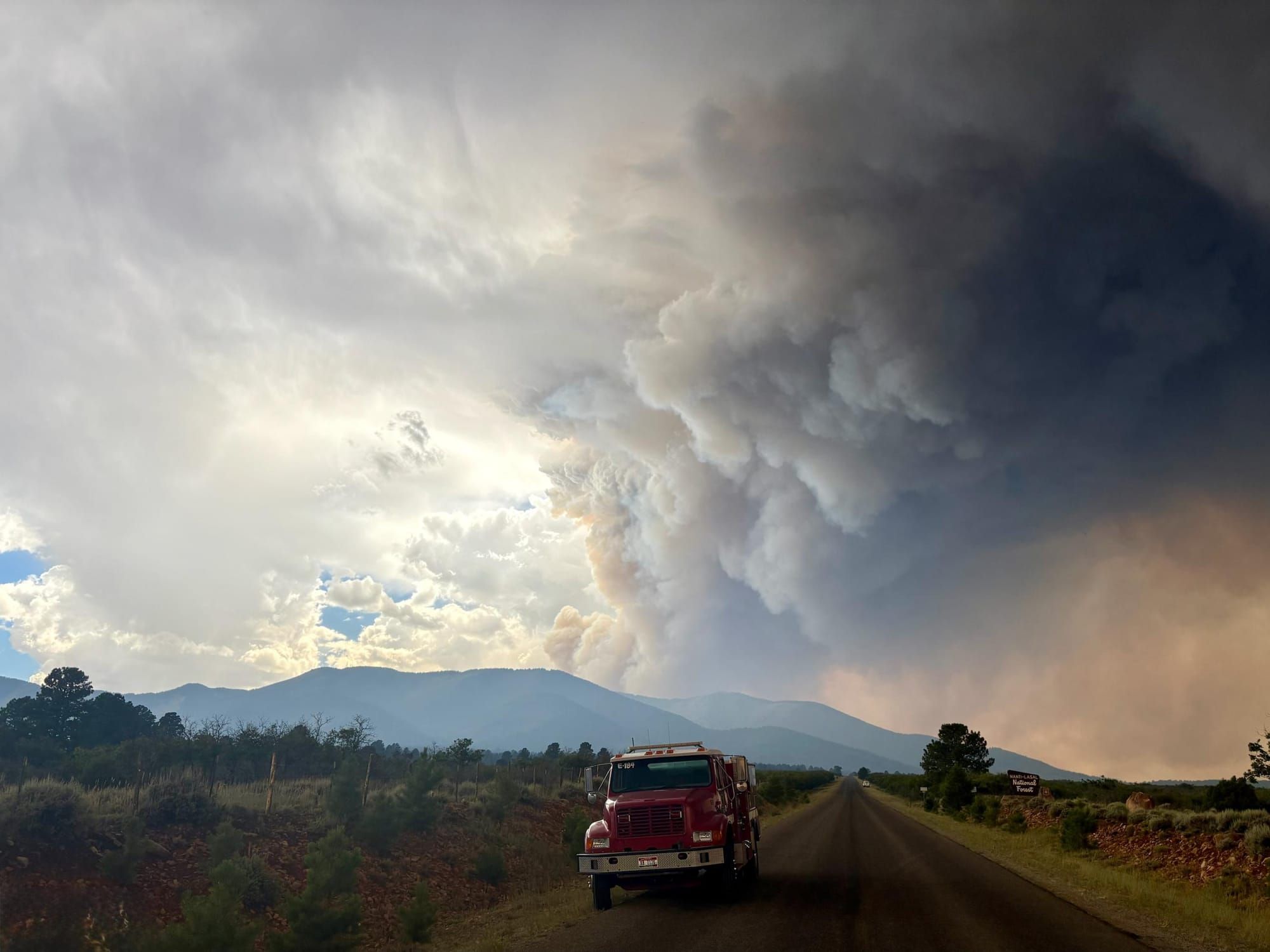
Last updated August 25, 2026. The Forest Service rescinded its Babylon Fire closure on August 20 and the official ADT over Elk Ridge is open. Closures here have changed weekly all season. Verify against the land managers before you go.
The American Discovery Trail over Elk Ridge is legal to walk again. On August 20, the Manti-La Sal National Forest rescinded the closure that had covered the Babylon Fire footprint on the Monticello Ranger District, and the burned corridor on Woodenshoe Road and FR-088 came back open. The rescission carries no end date.
Track the order numbers if you are checking behind us, because they moved three times in three weeks. Order #04-10-26-05-05, the one this post cited through August, was superseded on August 13 by #04-10-26-05-06. Rescinding Order #04-10-26-05-07 lifted 05-06 on August 20 and closed the sequence out.
The Babylon Fire started with a lightning strike on Elk Ridge in the Dark Canyon Wilderness at 2:15 in the afternoon on June 26, ran to 107,189 acres through record-low snowpack and drought-cured fuel, and reached 100 percent containment on August 20. At UT5-33 the ADT sits at The Notch, the trailhead for Dark Canyon East Trail #006, which puts the route on the wilderness boundary where the fire began.
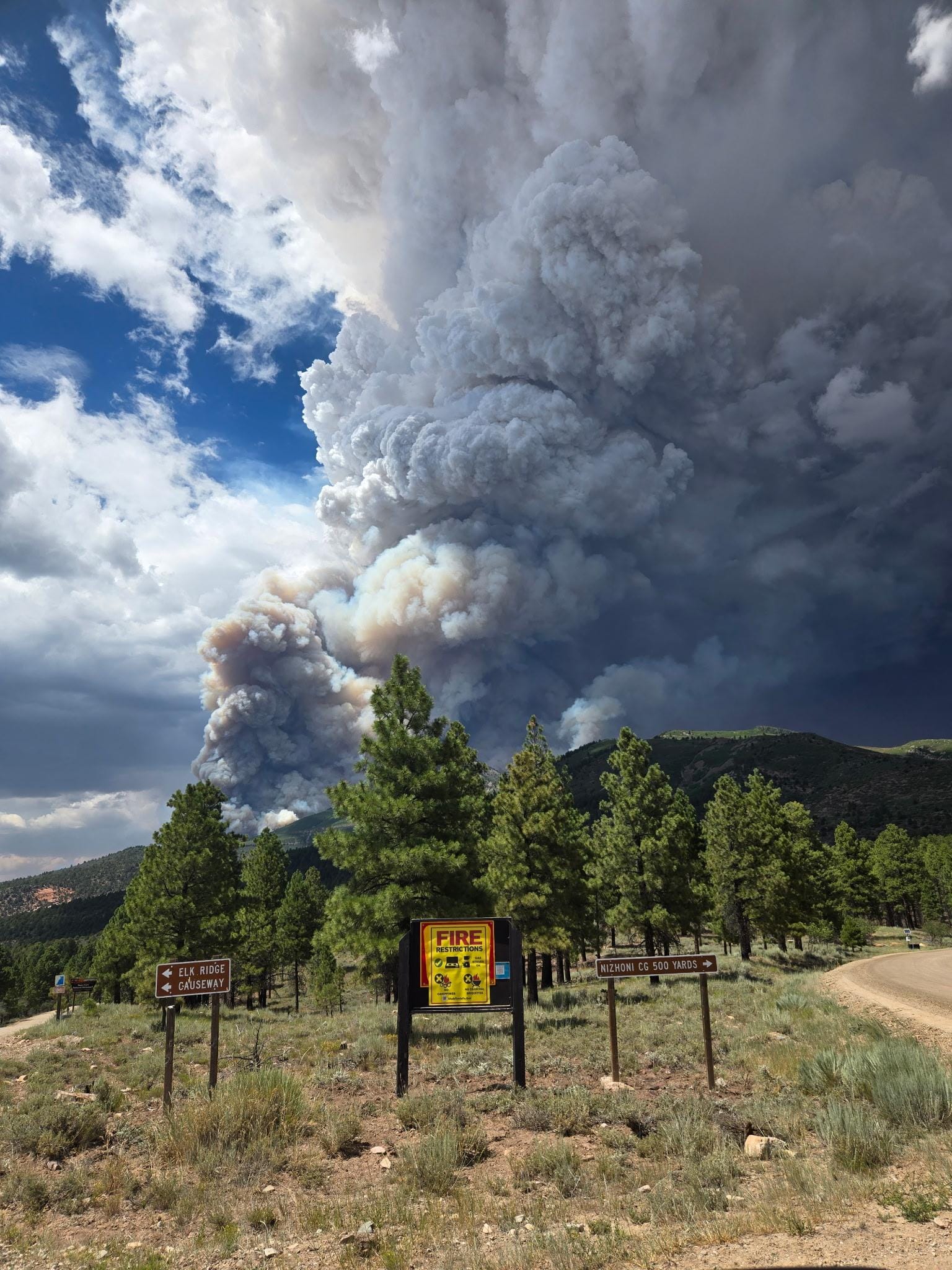
The order lifted. The burn did not.
A hundred thousand acres of standing dead timber falls without warning, and it falls hardest in wind. There is no shade left through a Utah afternoon. What water is in there carries ash.
A Burned Area Emergency Response review identified five drainages with the highest debris-flow potential in the burn area, and in the most heavily affected of them, light rainfall is enough to start one.: Horse Mountain, North Cottonwood Creek, Cottonwood Creek, Davis Canyon, and Stevens Canyon. The report puts intermittent flooding and erosive events at 5 to 10 years out, until native vegetation returns. Severe soil burn covered 5 percent of the assessed area, and burned trees and debris clog culverts and drainage on the roads the route uses.
BAER also recommends physical closures where floodwaters or debris flows could threaten visitors. A single segment can shut again on short notice without a district-wide order, so an open corridor today is not a guarantee for the week you arrive.
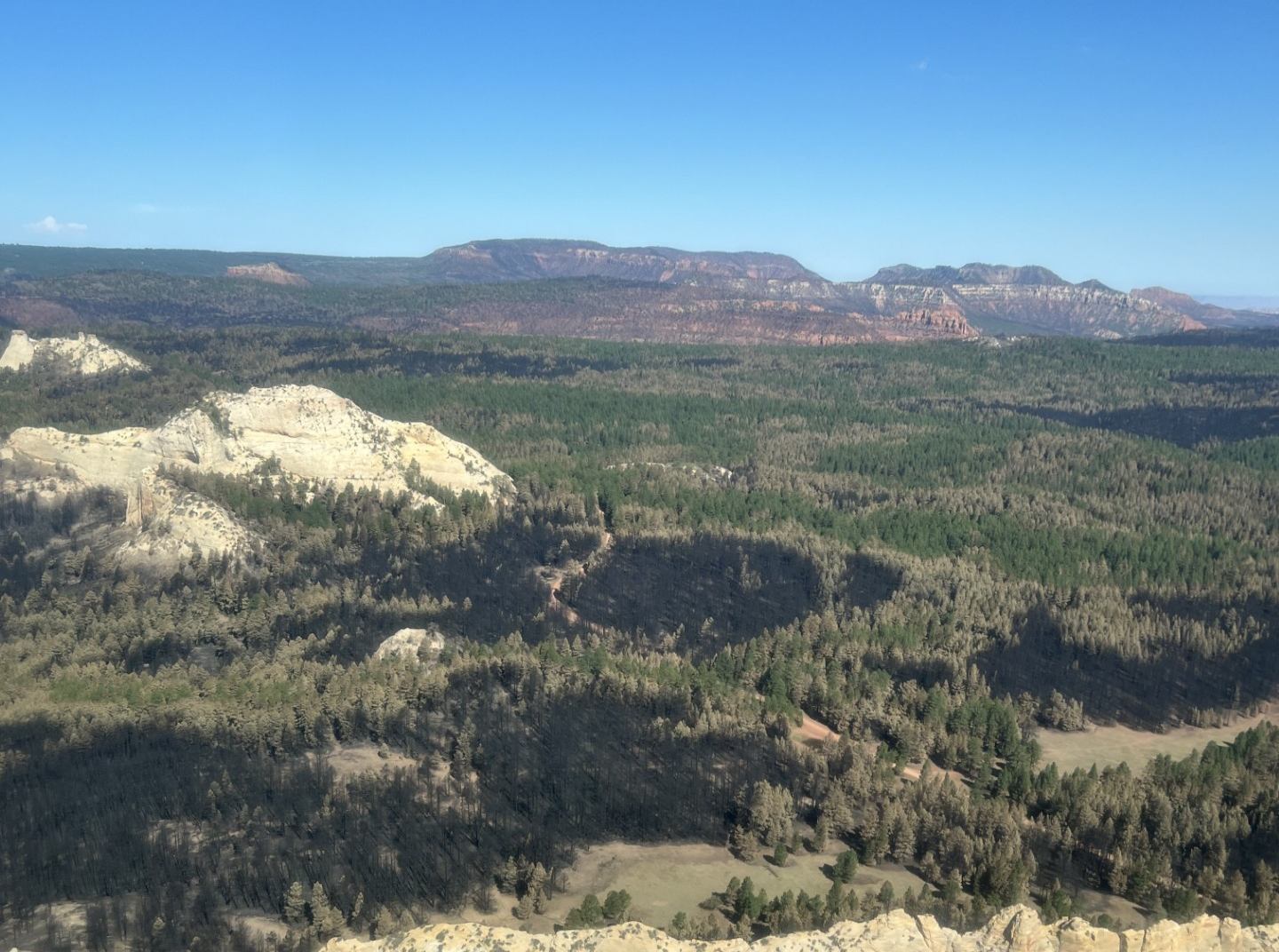
Stage 2 fire restrictions
Stage 2 fire restrictions are in effect across the entire Manti-La Sal National Forest under Order #04-10-26-00-04, running from July 17 through October 31 unless rescinded earlier. No campfires of any kind, no chainsaws, no smoking outdoors, no welding. Petroleum and propane stoves remain the only cooking option. Fire danger on the Monticello and Moab districts is posted as Very High. The BLM ground and Canyonlands both sit under their own Stage 2 restrictions as well, so the rule is the same on either line.
The alternate is still here, and now it is a choice
When we built this route in July it was the only legal way through. It is no longer the only way, and it is still the shorter one.
The alternate leaves the official ADT in Ruin Park at 38.01092, -109.90970, four tenths of a mile past the Homewater Spring waypoint UT5-43 (EABO 86.3 / WEBO 88.2). It rejoins at UT5-13, the Sundance Trail trailhead junction on Woodenshoe Road (EABO 12.1 / WEBO 162.4). Between those two points it runs 39.1 miles against 74.7 miles of official trail, and about 5,900 feet of climbing against 7,060. No part of it crosses burned ground. Beef Basin and the mesas west of the official trail never burned, and the BLM reopened all of it on July 29 when it rescinded Fire Prevention Order UT-CYD-2026-02.
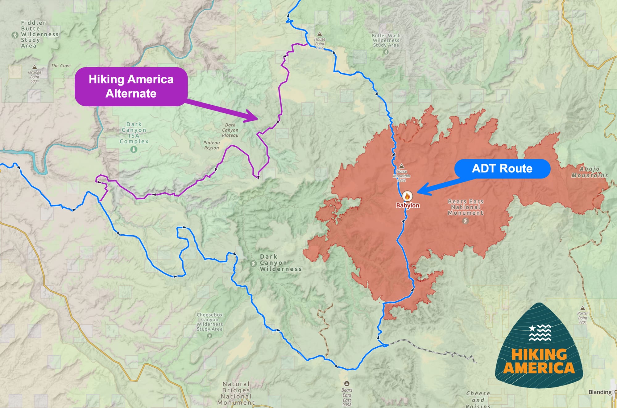
The GPX is free to download from this post, and the line is already in the Hiking America data in Gaia GPS.
What has not changed is the water. Nobody has walked this end to end, there is no documented water across 39 miles, and surface and passability on the road-walk stretches are unconfirmed. Carry the whole stretch as a dry carry and treat anything you find as a bonus. Against 39 miles of unverified line with no water, a legal corridor through a burn is a real option again, and which one is right depends on your carry, your window, and the forecast.
Here is how the alternate was built, so you can judge it. We took existing trail and overland traces used by drivers through the country west and south of the closure, joined them into a continuous line, and measured that line against our Segment 5 master track to confirm both ends tie in. It is open, and it is not proven.
If you walk either line this season, tell us what you find. Water above everything else.
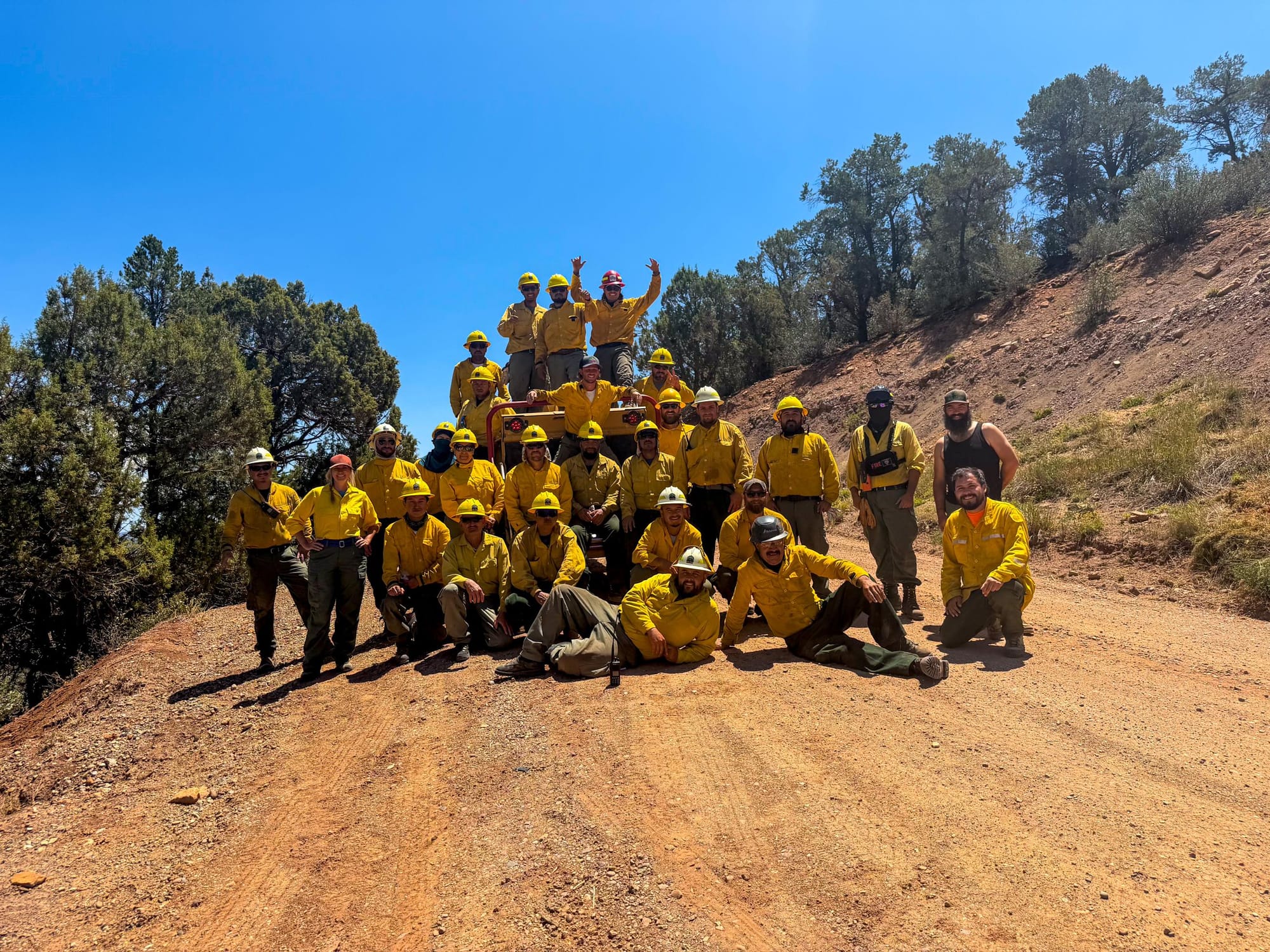
Hike Your Hike - John.
Update log
- August 25, 2026: The Forest Service rescinded the burn closure. Rescinding Order #04-10-26-05-07, signed August 20 by Forest Supervisor Barbara Van Alstine, lifted Closure Order #04-10-26-05-06, which had superseded 05-05 on August 13. The official ADT over Elk Ridge and FR-088 is open with no end date on the rescission. Babylon Fire final figures: 107,189 acres, 100 percent contained August 20. Post reframed from detour to choice. Added BAER debris-flow findings and Forest Service Stage 2 Order #04-10-26-00-04, in effect forest-wide through October 31. Alternate unchanged at 39.1 miles, still unverified, still no documented water.
- July 24, 2026: First publication, as advance notice. Fire at 107,189 acres, 95% contained. Needles District and SR 211 reopened. Draft alternate posted at 39.1 miles: unverified, no documented water, no burned ground crossed, northern miles inside the active BLM closure.
- July 29, 2026: BLM rescinded Fire Prevention Order UT-CYD-2026-02, reopening all Monticello Field Office lands including Beef Basin. Reframed from advance notice to an open, walkable route. Still unverified, still no documented water. Forest Service order over the burned official corridor remains in force through August 31.
- July 31, 2026: Confirmed the alternate stays entirely on BLM land, clear of the Forest Service closure. Monticello Ranger District issued replacement Closure Order #04-10-26-05-05 (effective July 31 through August 31), drawn to the fire footprint; per Exhibit A, all closed roads and trails fall inside the Manti-La Sal boundary, which the alternate does not enter.