
A Wildfire Reroute Across Nebraska: Week 11 on the Great American Rail-Trail
Somewhere back near the Atlantic, Bernie started climbing — and hasn't stopped. Week 11 of his Great American Rail-Trail thru-hike took him up through the Nebraska Sandhills, into the homes of trail angels, and around a wildfire that closed the highway ahead.

All photos by Bernie Krausse
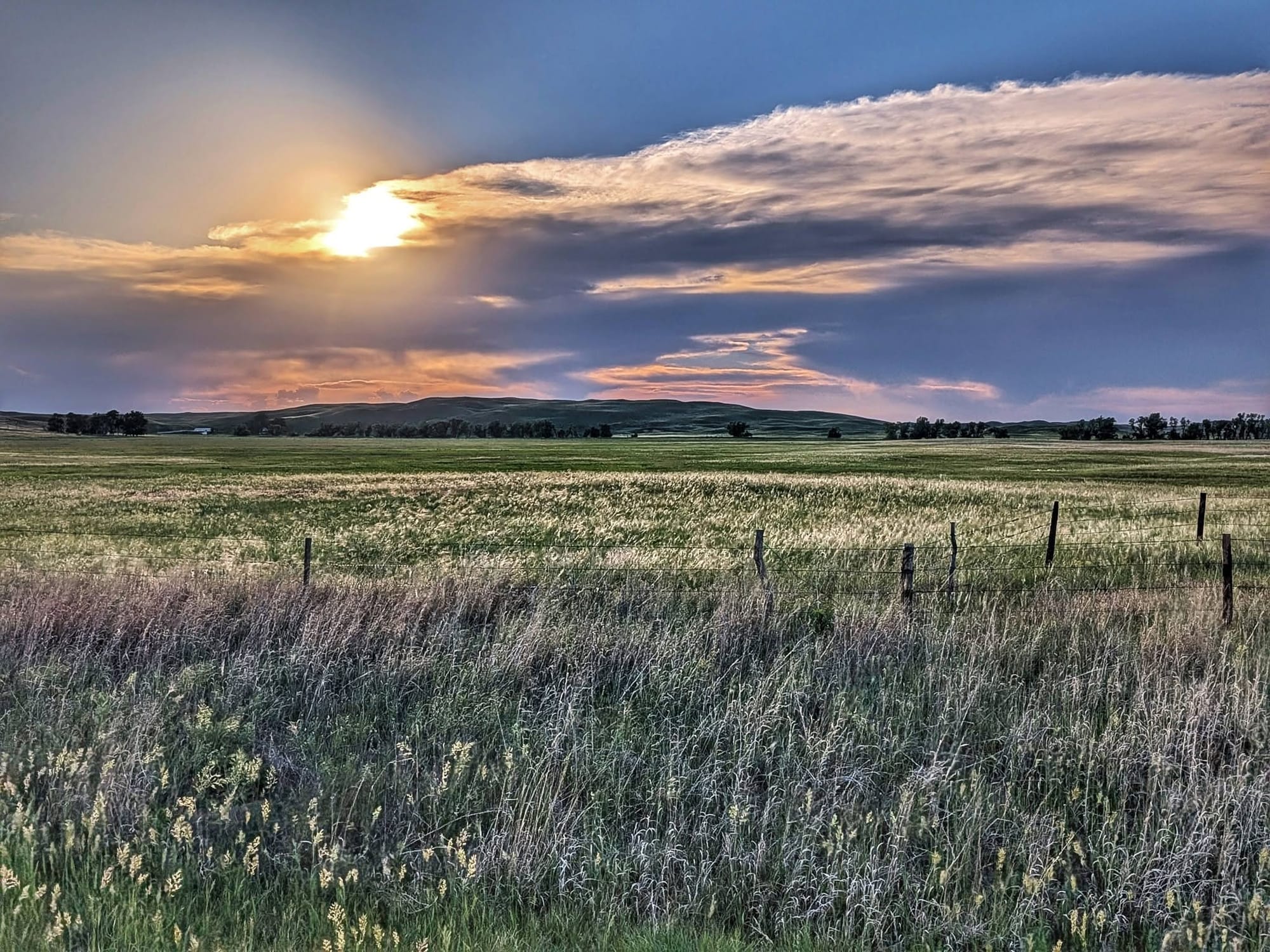
Most people picture the walk from Washington, D.C. to the Pacific as flat until the Rockies suddenly rear up. Bernie Krausse is learning it doesn't work that way. Somewhere back near the Atlantic, he started climbing, and he hasn't stopped. A slow, invisible ascent up what amounts to a continent-sized ramp of eroded mountain sediment. This week he passed 3,500 feet in Gordon, Nebraska, and finished at 4,876 feet in Harrison, the highest village in the state. He never felt the grade. The quiet math of the High Plains: you climb most of a mile, and your legs barely register it.
Then, on Day 75, he woke to a problem. A wildfire had closed the highway ahead.
Week 11 of the first known thru-hike of the Great American Rail-Trail covered roughly 150 miles across northwest Nebraska — the Sandhills, the Cowboy Trail, the edge of the Oglala National Grassland with one zero day and a route that came apart and got rebuilt on the fly.
Bernie Krausse
Great American Rail-Trail - Westbound
Started: March 28, 2026
Support Links: ImHikingAmerica, Facebook, Venmo, PayPal Donate
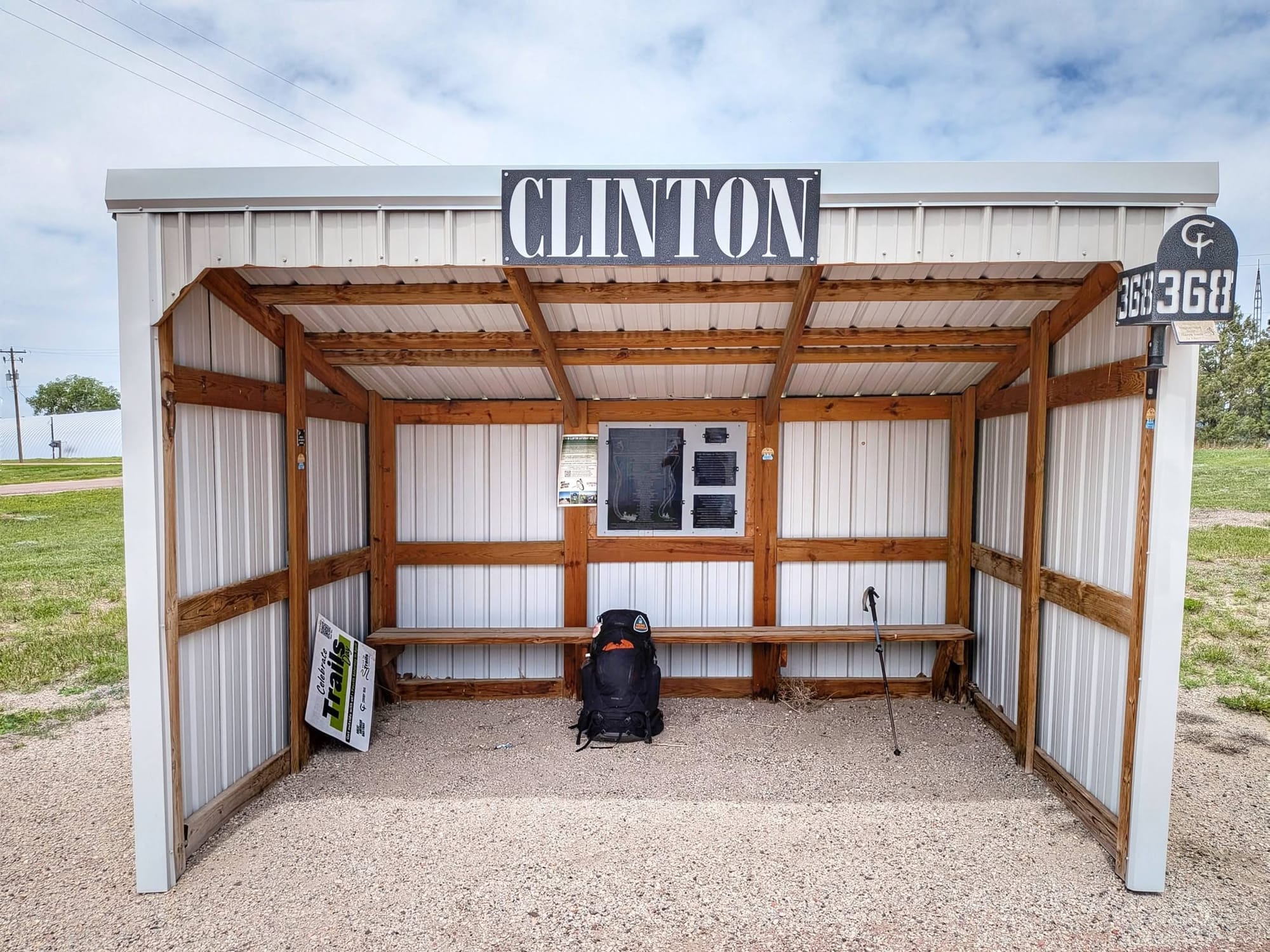
Trekking the Cowboy Trail Across the Sandhills
Bernie started the week in Cody, where a town park doubles as a donation-based campground. He topped off three liters, rationed what food he had left, and pushed 39 miles toward Merriman.
Logistics from Cody to the Merriman Carry
The Merriman gas station is a 1950s holdout with basic snacks, and it was shut by noon. Out here, the store hours decide your carry as much as the mileage does.
The Cowboy Trail carried him through the Nebraska Sandhills, the largest grass-stabilized dune field on the continent. Ancient wind-blown sand that eroded off the very mountains Bernie is now climbing toward.
Trail Progress, Limestone, and High Plains Elevation
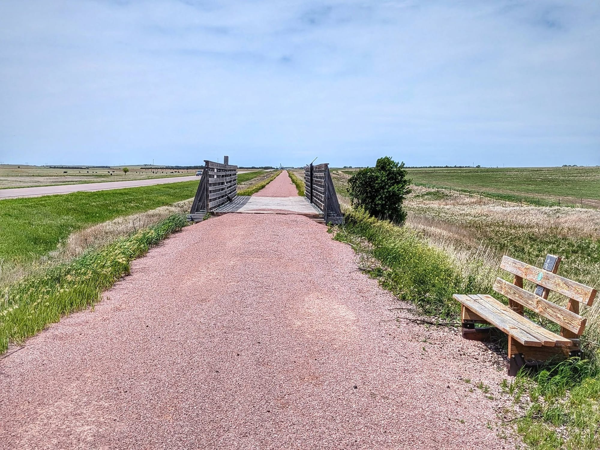
The trail surface is honest about being 'a work in progress.' Some segments run finely graveled and smooth; others turn coarse underfoot. There are new bridges and the occasional bench, but a gap usually waits between the bridge deck and the trail itself. A volunteer named Allen, out cycling near Chadron, told Bernie they're laying limestone on the section he'd just finished this year.
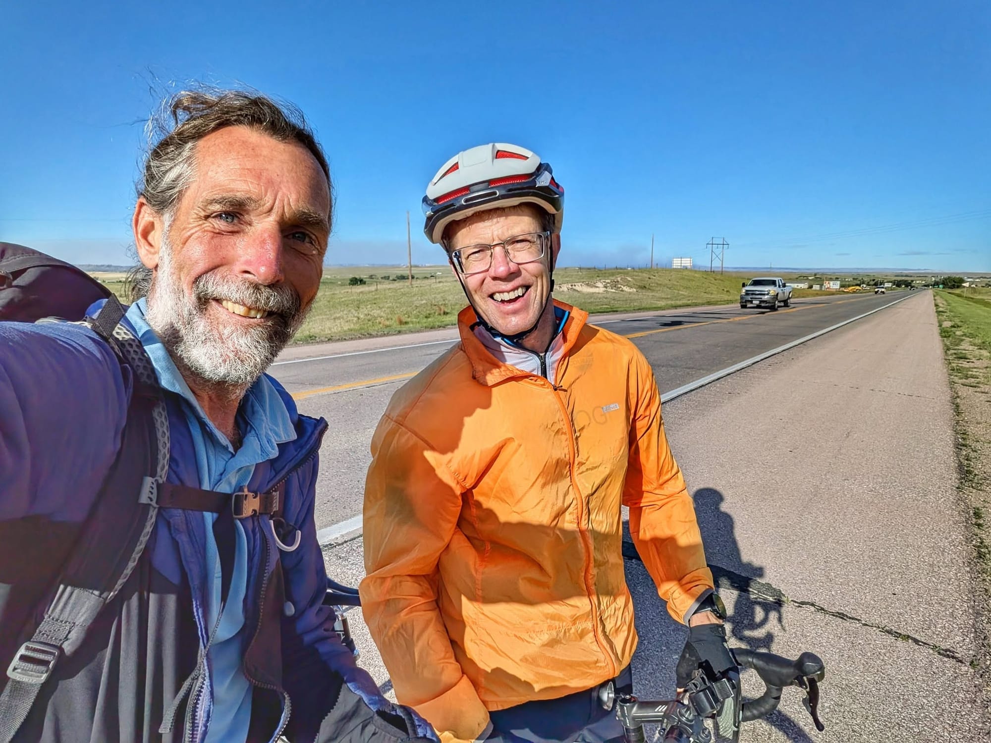
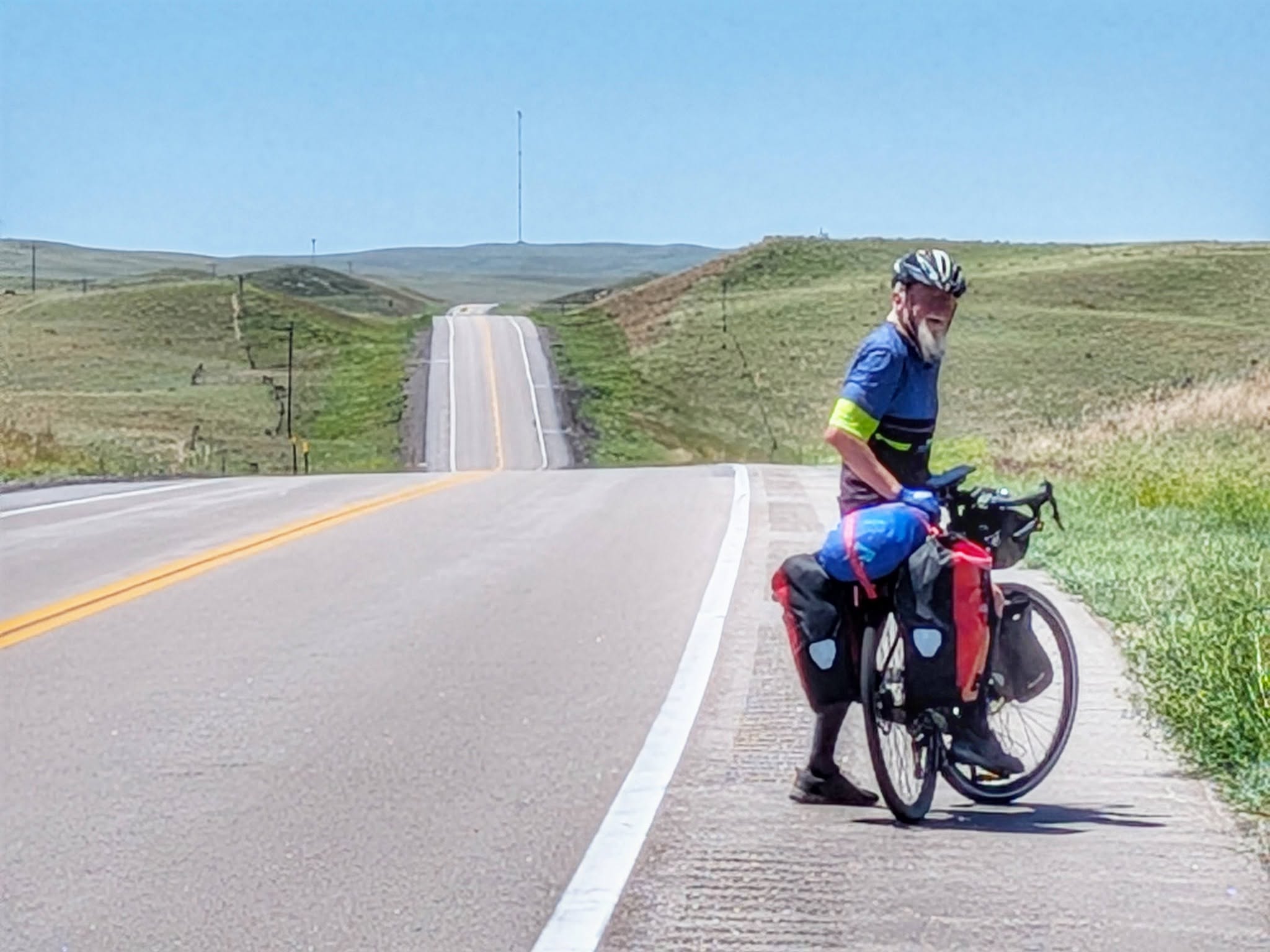
Bernie crossed paths with Max, a cyclist from Salzburg riding to the Pacific, who'd also started in Washington, D.C., and had just passed the 3,000-kilometer mark. The two of them recognized each other's Camino scallop shells before they'd finished saying hello.
Meeting Trail Angels and Exploring Local History in Gordon
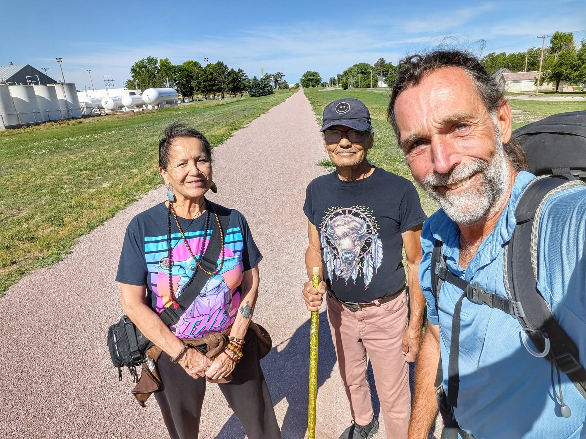
In Gordon, Bernie detoured a mile off-route into the home of Jinni and Renae, trail angels who took him in for two nights and, by the end, said they'd adopted him into the family. He slept in an RV, rested through his fourth zero day of the trip, and ate breakfast cooked in the backyard.
Renae once spent three months on Amchitka Island, a remote sliver of the Aleutians out near the International Date Line. Two decades later, Bernie worked three stints on that same island studying sea otters — one of them a four-month North Pacific winter with only two other people on the whole deserted place. Two strangers in northwest Nebraska, linked by an island almost no one has set foot on.
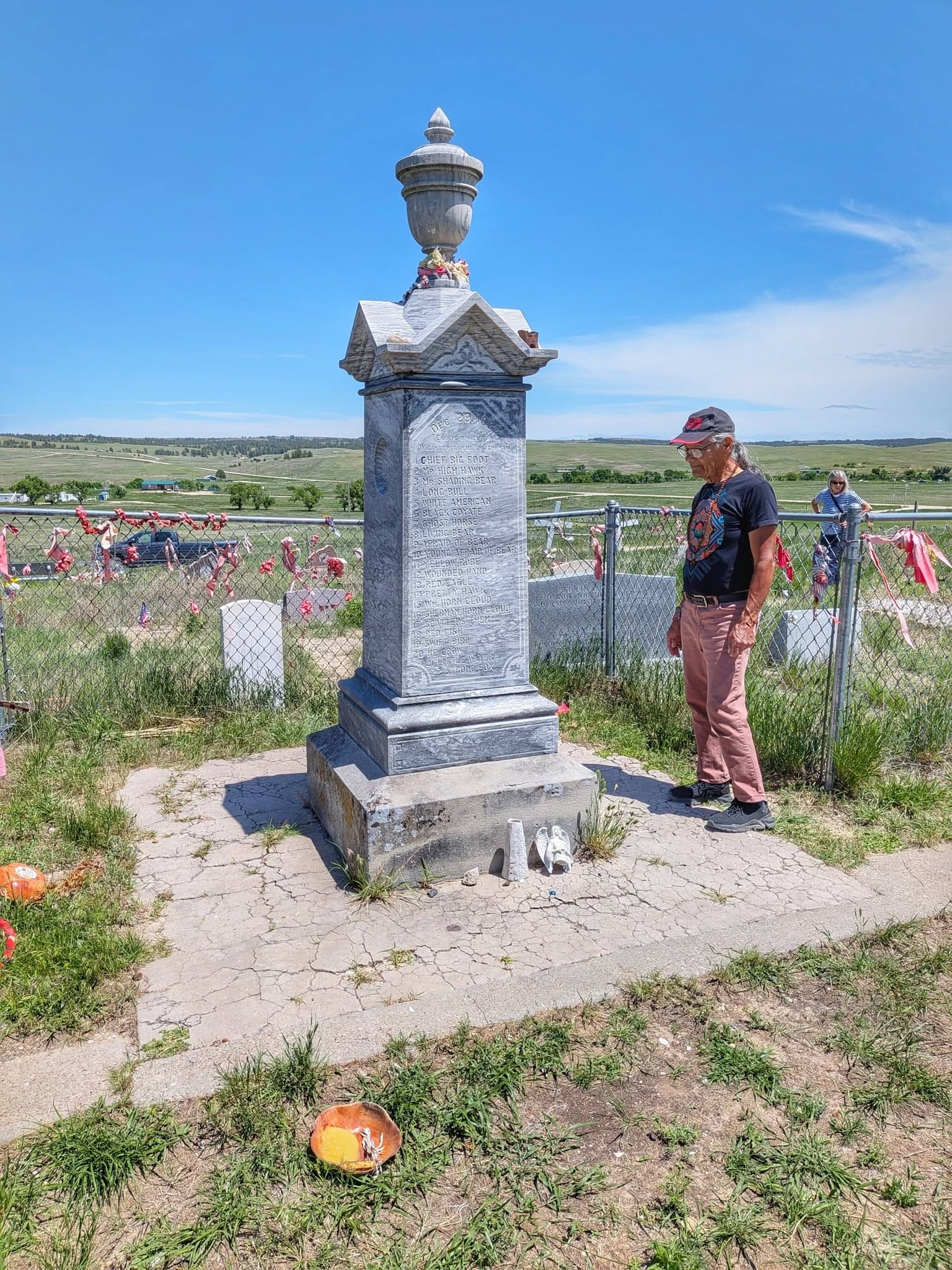
A Zero-Day Detour to Wounded Knee and Pine Ridge
On the zero day, Jinni and Renae drove Bernie north into South Dakota to honor the victims of the 1890 Wounded Knee Massacre, many of them buried in a mass grave on the site. They visited the Pine Ridge Reservation, took in a visual history of the Lakota people near the college, and saw Lakota art on display at the gallery in Pine Ridge. Bernie found himself unexpectedly close to tears at the grave. He didn't try to explain it away. Some places carry a weight you feel before you can name it.

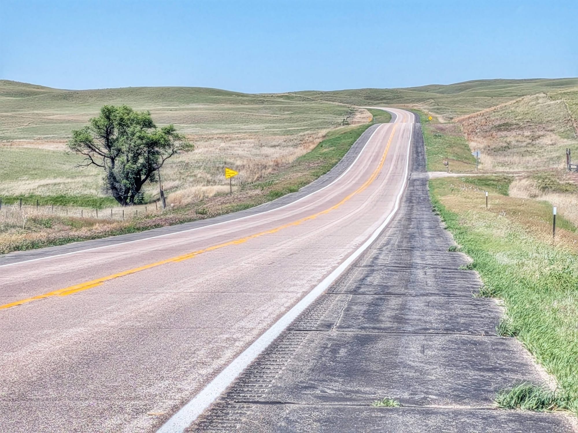
Rebuilding the Route Around Active Highway Closures
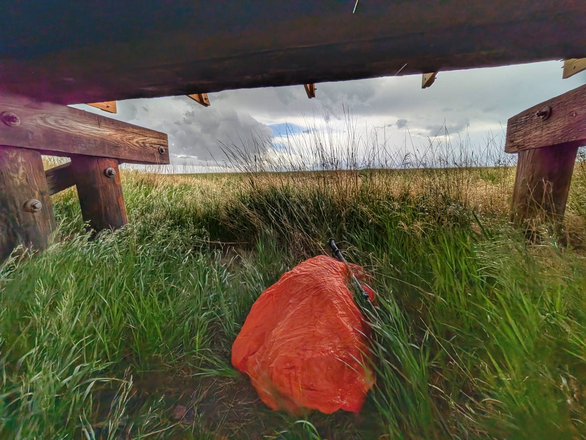
Back on the trail, the High Plains stopped being gentle. Leaving Rushville, Bernie hit 50-mph winds. Lightning closed in from the west and southwest — five miles out, then three — and then he found and climbed down under a wooden bridge as the rain came hard. The thunder cracked directly overhead while he sat there. "I love the idea of good timing," is how he put it.
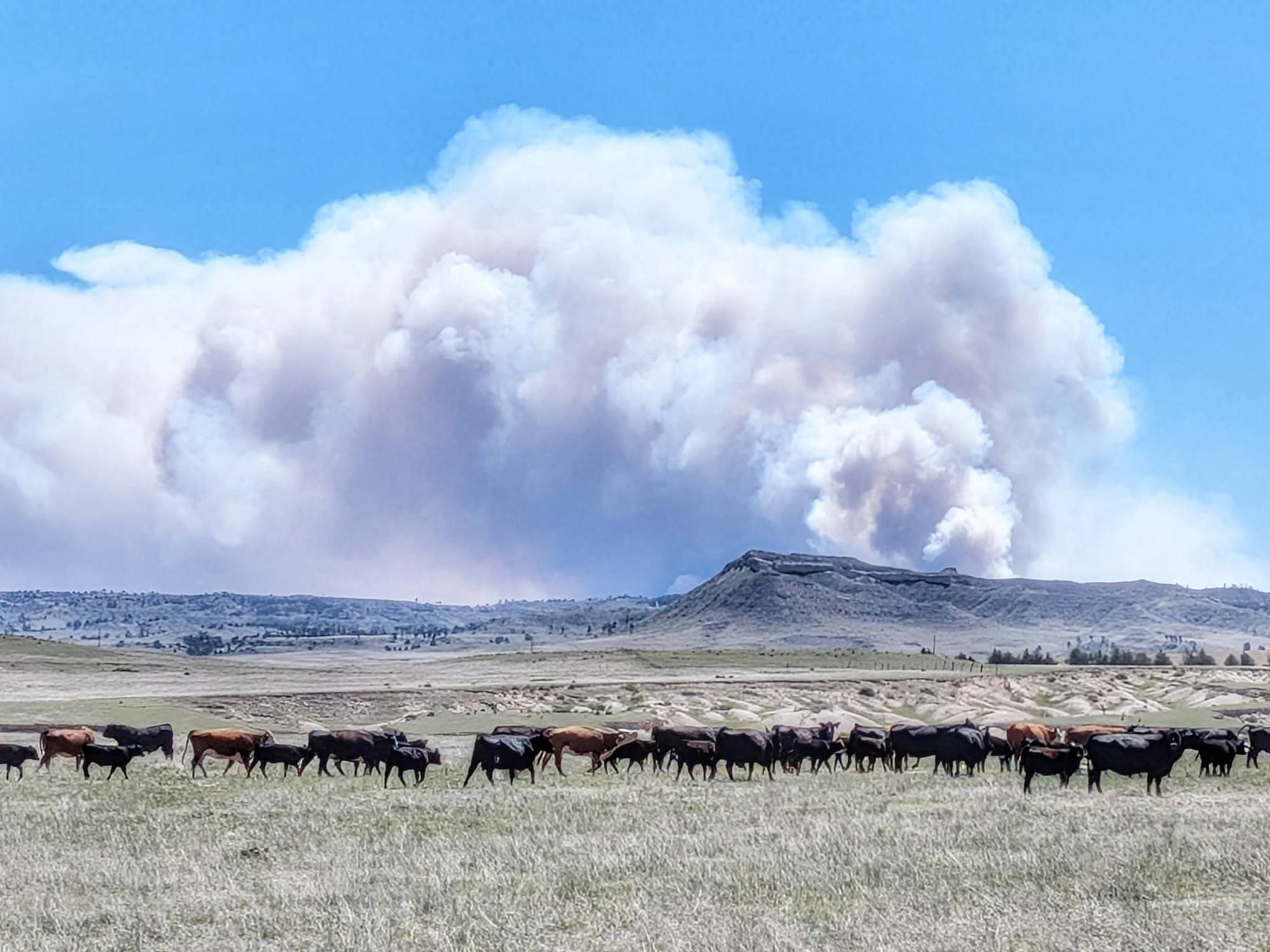
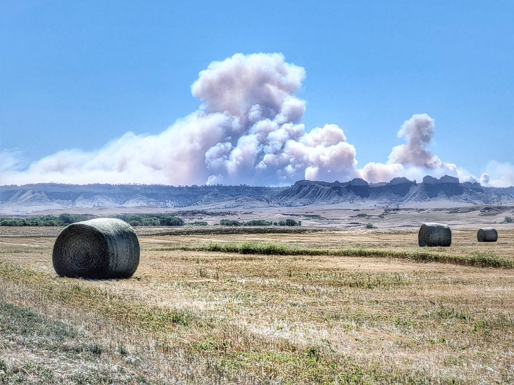
By Day 75, the smoke ahead had a name: the South Fork Fire, which had burned 9,000 acres of grassland and shut the highway between Crawford and Harrison. Bernie pulled into a hotel in Chadron to map his options instead of walking blind into a closure.
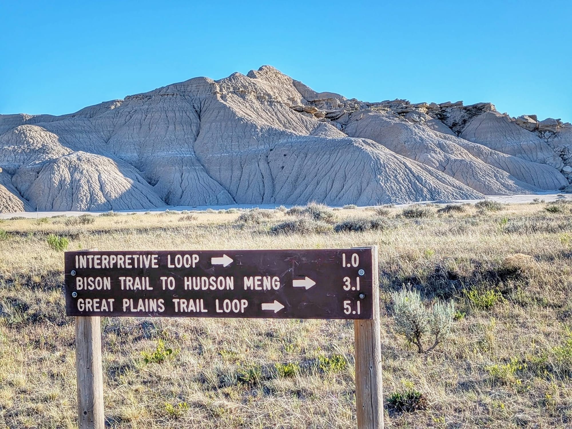
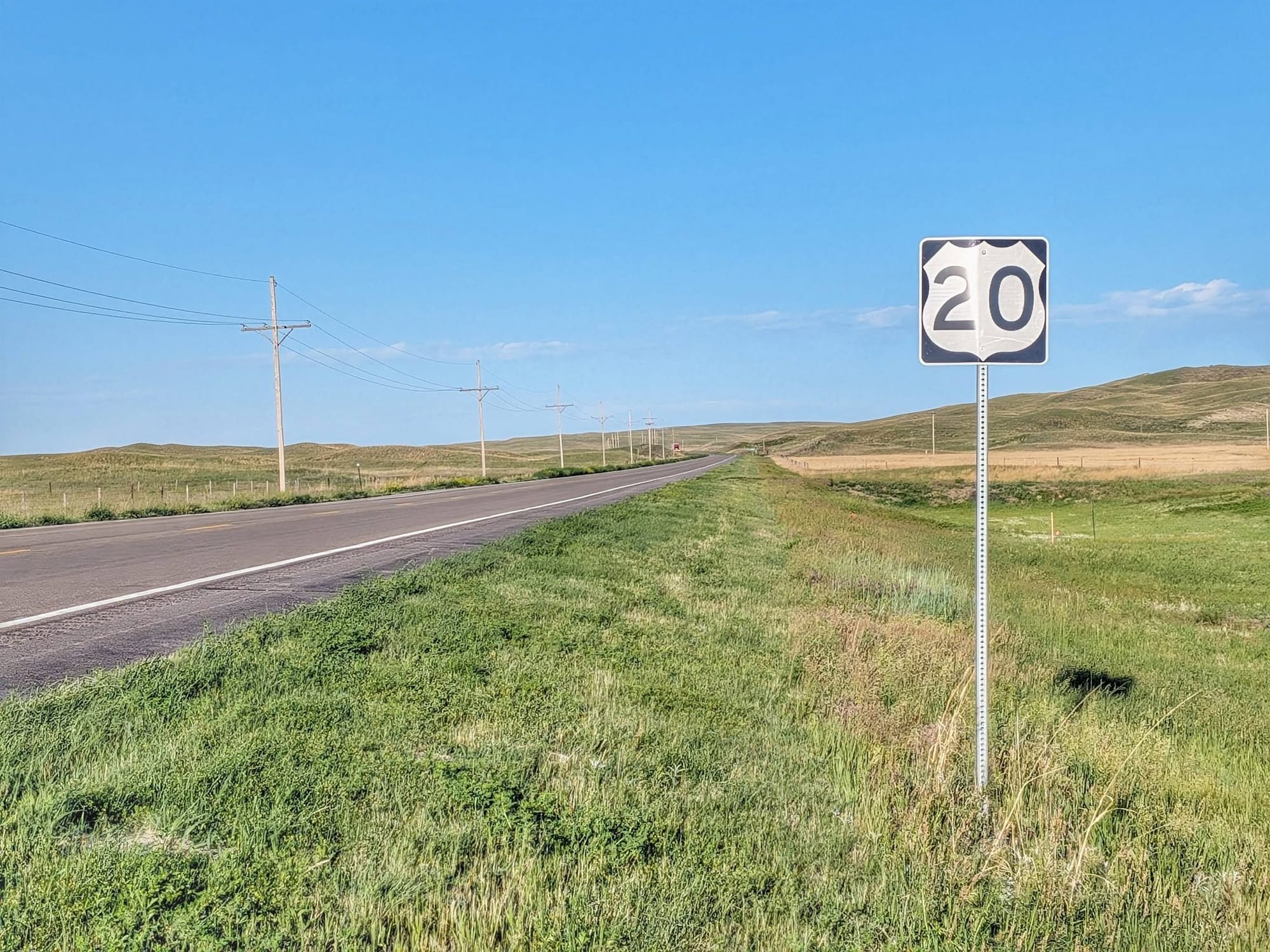
The next morning he left at 7 a.m. and arced north of the fire — an improvised line up the old Highway 20 corridor, into 40-mph headwinds that blew him across the road. He filled water at the Chadron airport, watched planes drop retardant on the flames near Whitney, and walked ranch land past a "Dead End Ahead" sign after the owner told him hunters use it seasonally. He dropped into Toadstool, in the Oglala National Grassland, where the geology suddenly looks like the desert Southwest, and pulled clean water from a solar well. Thirty-six miles through country he'd never planned to cross, never quite knowing what the next mile held.
Pushing to Nebraska's Highest Village
On Day 77, wind fanned the blaze toward his tent at 4 a.m., flapping the fabric, smoke in his mouth and nose. He climbed out of the Plains into buttes and ponderosa pines and topped out at Harrison — "Nebraska's Top Town," elevation 4,876 feet, with a free city park for tents and RVs. Within an hour of his arrival, the Department of Transportation reopened the highway. The fire was still growing, just no longer aimed at the road.
He's started calling himself a High Plains Drifter, and the name's earning itself. As he set up his tent in the Harrison city park, a rancher in a cowboy hat who'd spotted him earlier pulled over, rolled down the window, and handed him a fifty-dollar bill toward the walk across the continent.
Walk the Great American Rail-Trail yourself
The GPS tracks for the Great American Rail-Trail are free. You can download the GPX files for the full route — including the northwest Nebraska corridor Bernie just crossed.
If you'd rather have those same tracks pre-loaded in Gaia GPS, updated continuously, with the curated services waypoints Bernie is verifying step by step as he walks — water, resupply, camping, and the rough spots where the trail and the bridges don't quite meet — that's what a Hiking America subscription covers. The waypoints are built for what a hiker on foot actually needs from the corridor, not a catalog of everything a town has. Over 8000+ waypoints - so far.
Follow along. Week 12 picks up at the Nebraska–Wyoming line. 🥾
Hike Your Hike - John.
