
Week 16 on the Great American Rail-Trail: Into Washington, the Final State
Two state lines in one week. Bernie Krausse walks out of Montana's rafting country, over Lookout Pass into Idaho's Silver Valley, and across the line into Washington, his twelfth and final state, with less than three weeks left to the Pacific.

All photos by Bernie Krausse
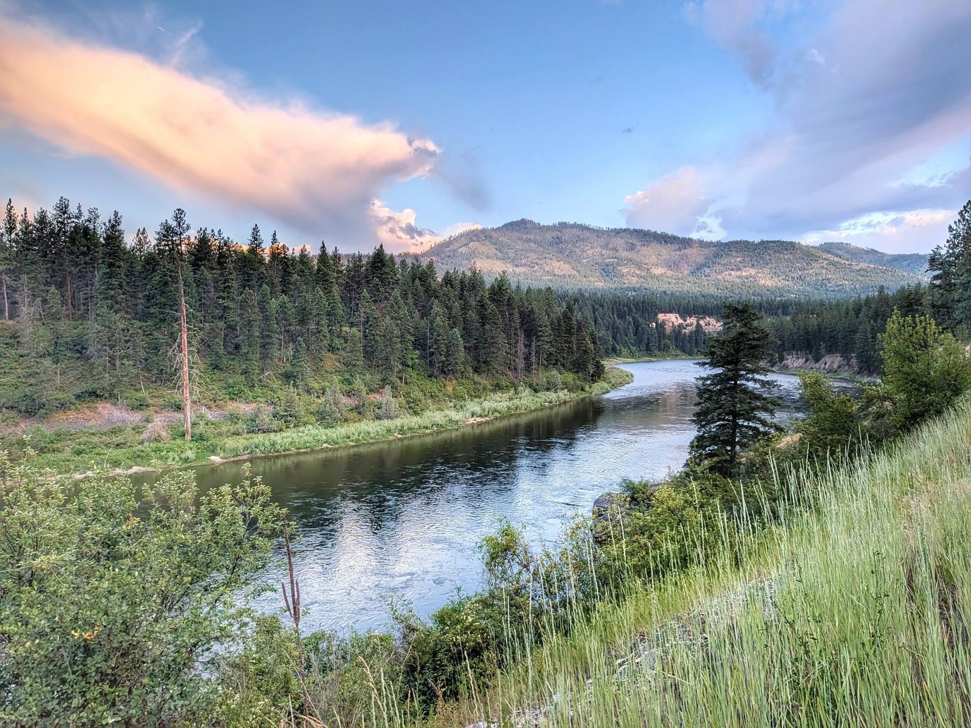
Bernie Krausse crossed two state lines this week and walked into Washington, the twelfth and final state on his Great American Rail-Trail thru-hike. He reached the Idaho–Washington border on the afternoon of July 16, out in the tribal lands of the Coeur d'Alene Reservation, and stepped onto the Palouse to Cascades State Park Trail with less than three weeks of walking left to the Pacific at La Push, on the Washington coast.
He has been walking since March 28, when he left the Capitol Reflecting Pool in Washington, D.C. This is the first known end-to-end foot thru-hike of the Great American, and Bernie is field-verifying the route's GPS data as he goes.
Bernie Krausse
Great American Rail-Trail - Westbound
Started: March 28, 2026. Washington, DC, Capitol Reflecting Pool.
Finished: August 3, 2026. Day 130, La Push, Washington.
Support Links: ImHikingAmerica, Facebook, Venmo, PayPal Donate
Clark Fork rafting country
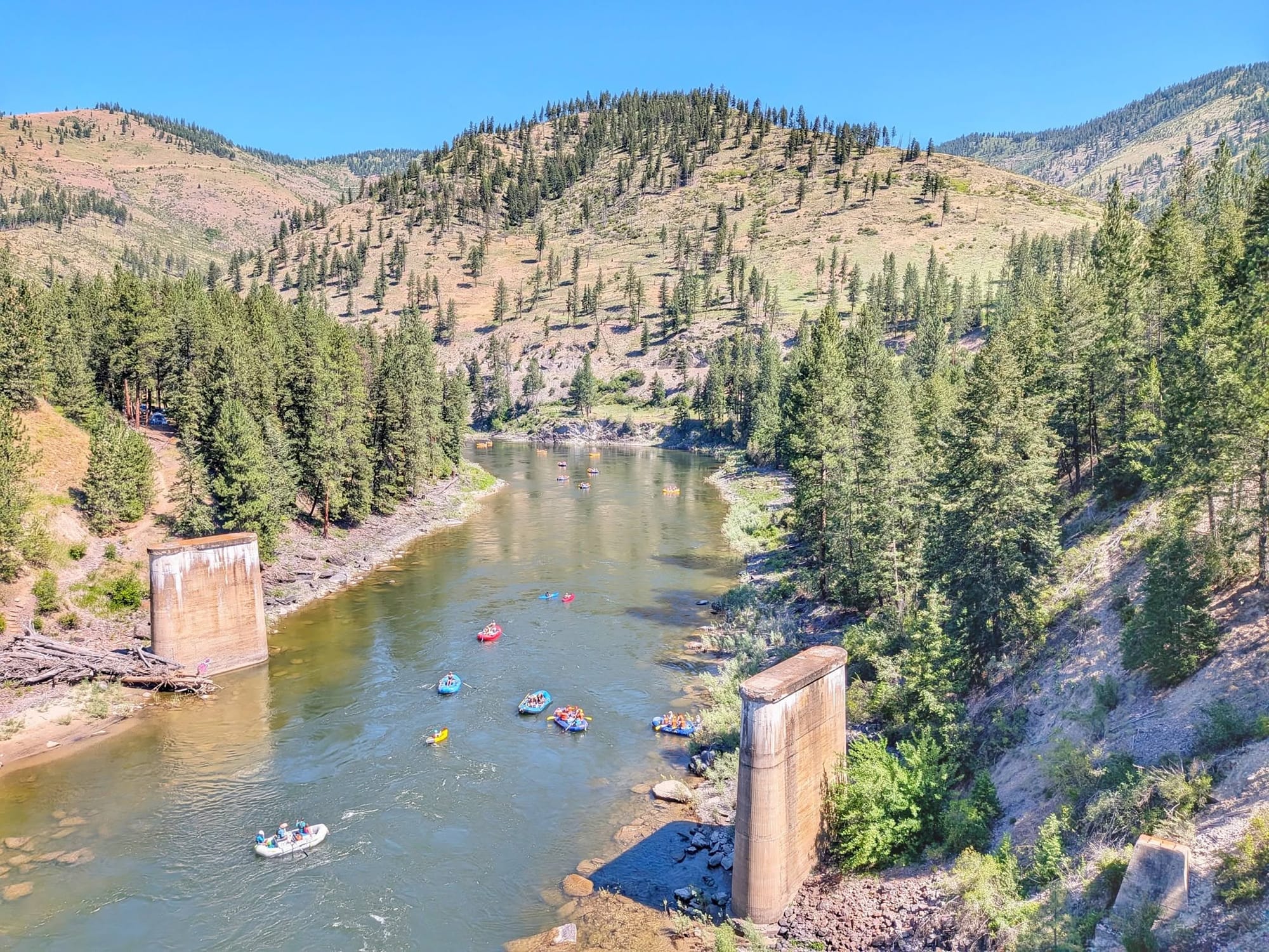
The week opened west of Missoula, where Bernie spent a night near the Ninemile Remount Depot, the Forest Service pack-mule station established in 1930 to supply firefighters across the Northern Rockies. In Alberton, he charged his phone at the Valley Store, then walked down to the Clark Fork, where close to a hundred whitewater rafts were working the river on a hot July afternoon.
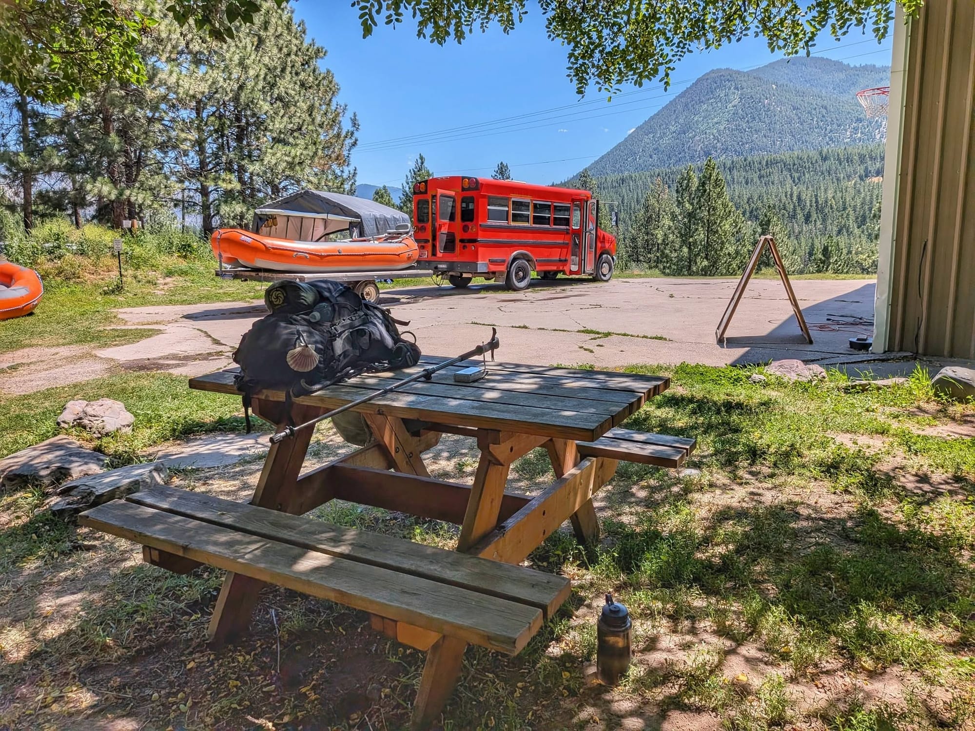
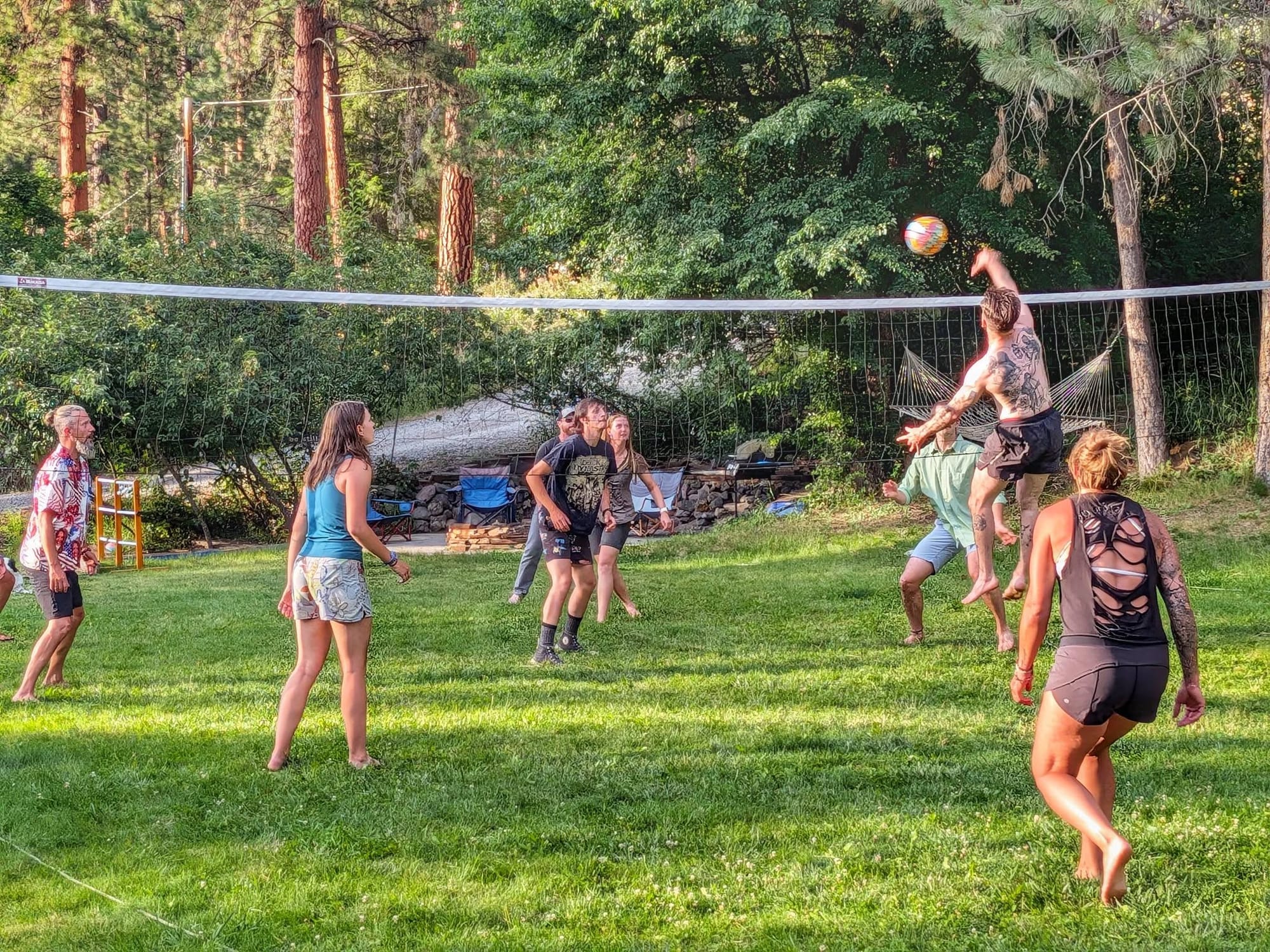
At a rafting company just off Interstate 90, he stopped for shade and water and met Audrey, a ski instructor in winter and a rafting guide in summer, who is walking the Portuguese Camino next spring with friends from high school. Further down the road, a guide named David stopped his loaded school bus in the middle of the road to wave Bernie into his rafting hub for the night. David walked the Pacific Crest Trail in 2003, the same year Bernie was on the Continental Divide Trail. Bernie logged 28 miles that day and spent the evening as a guest of the crew, watching a volleyball game and a talent show.
Over Lookout Pass into Idaho
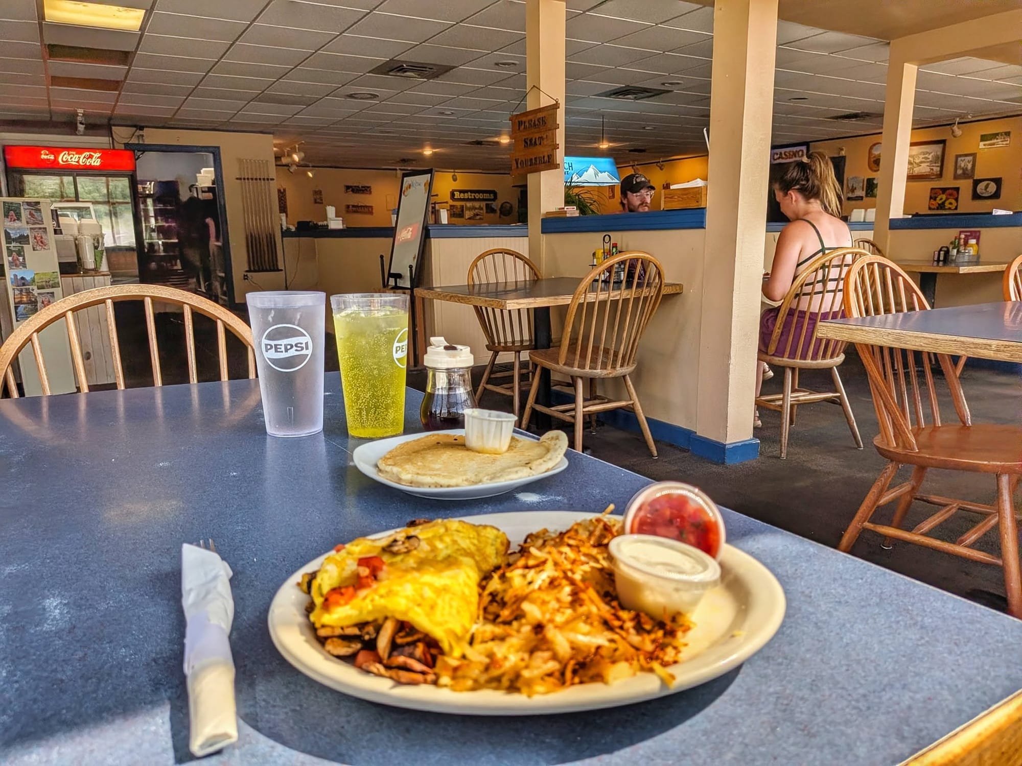
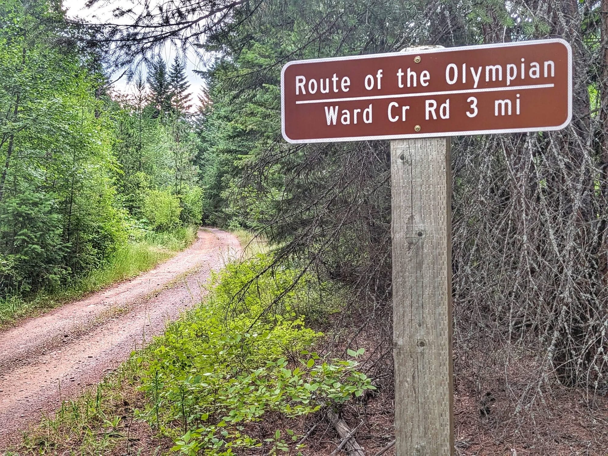
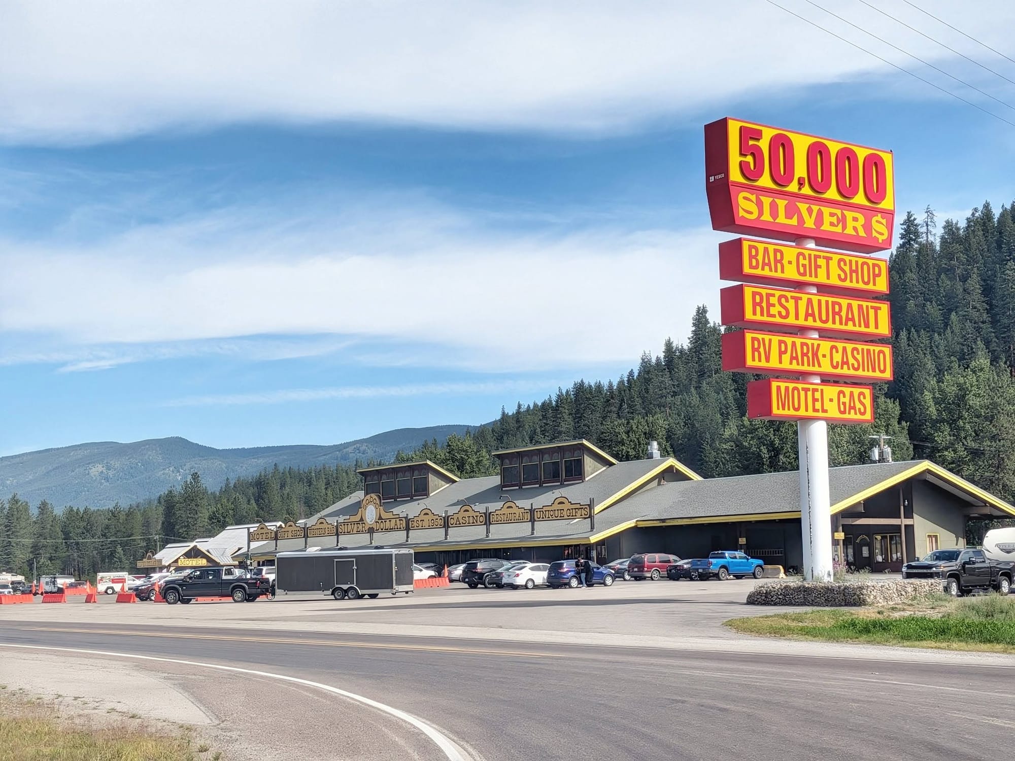
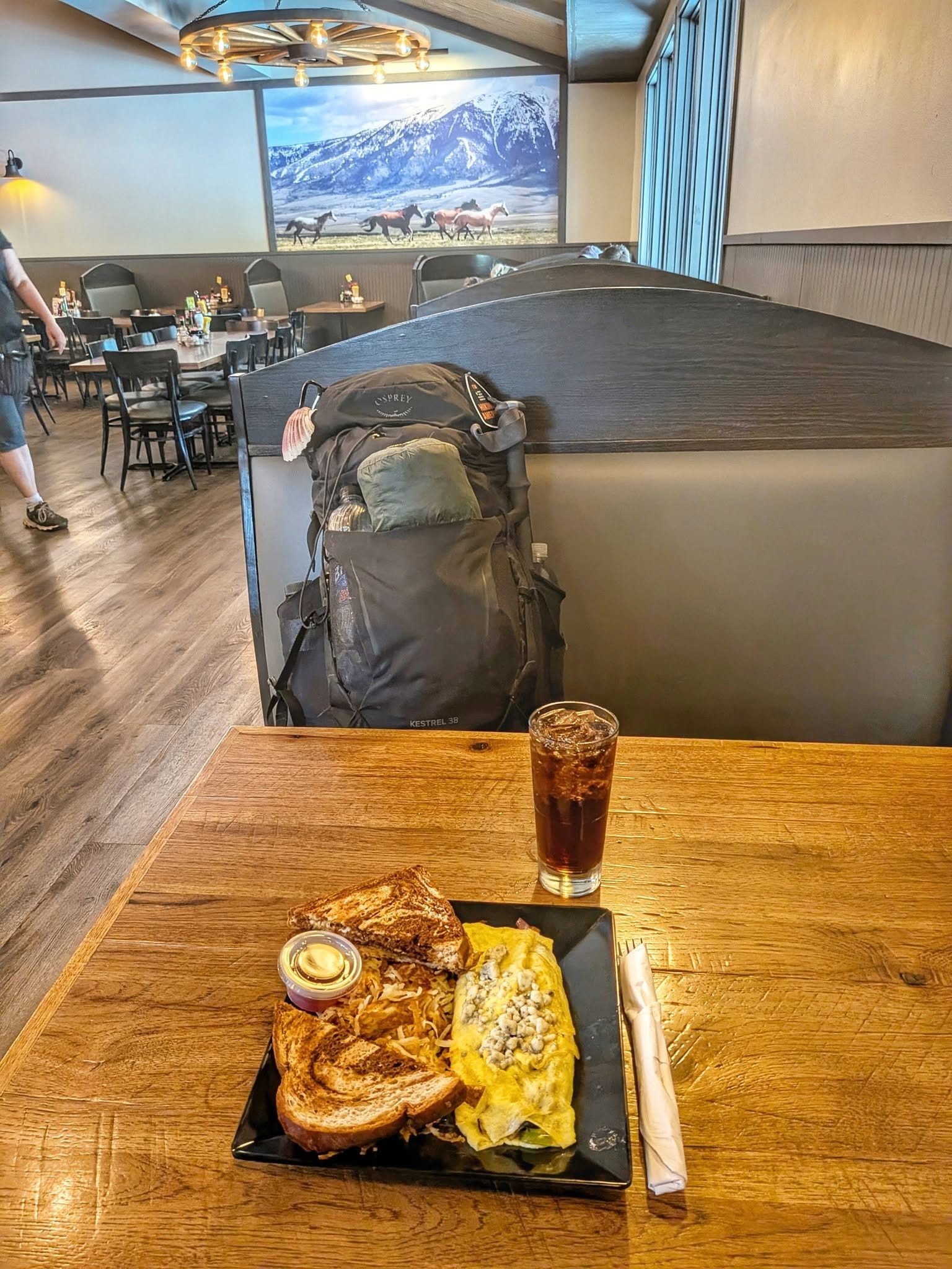
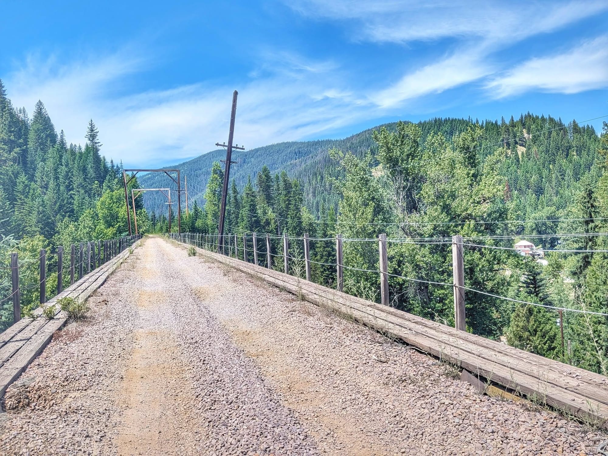
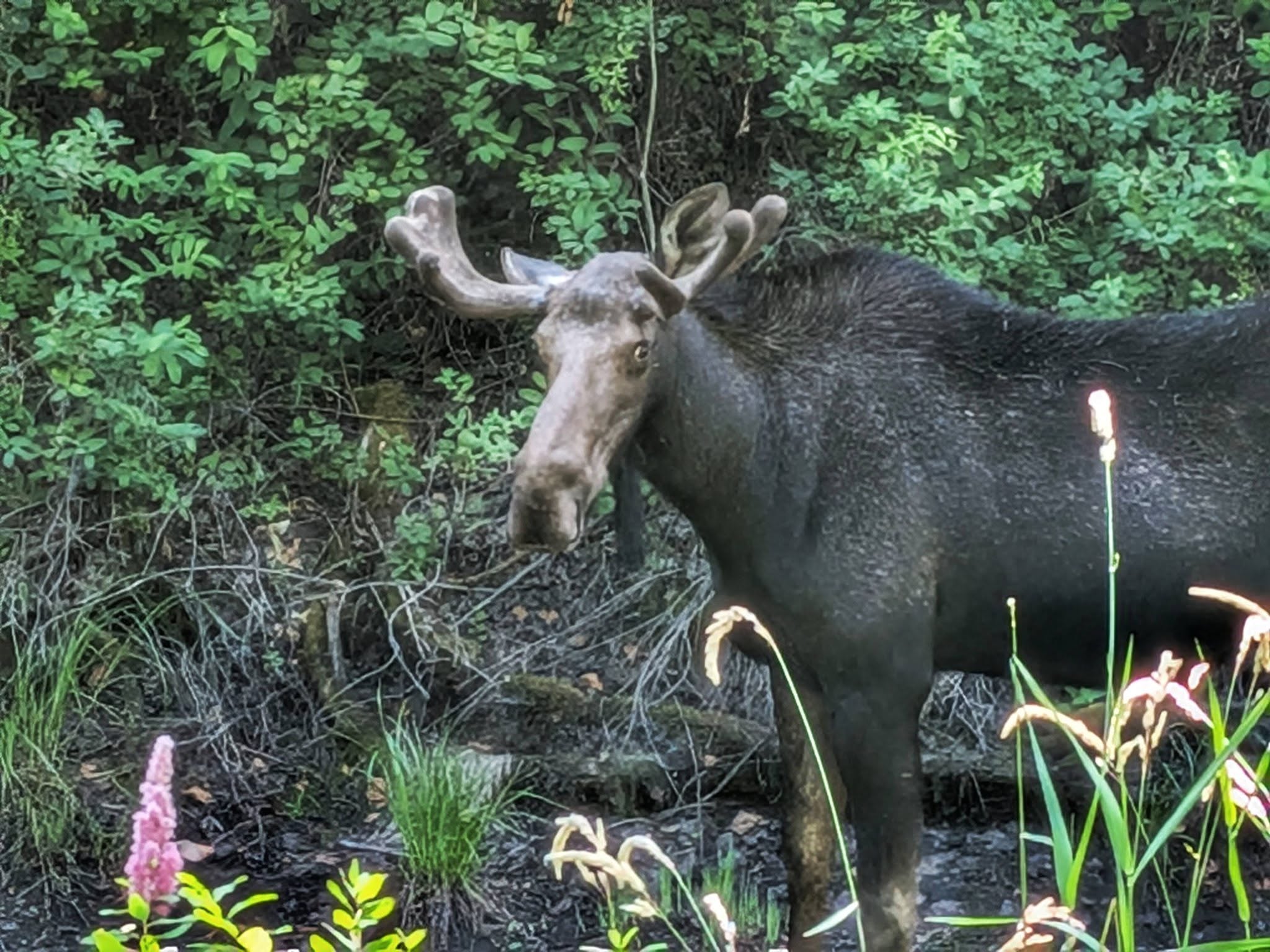
Out of Superior the next morning, where a couple who spotted the Hiking America badge on his Osprey pack quietly paid for his omelet before they left, Bernie picked up the old Milwaukee Road grade heading west. He expected pavement and got a dirt four-wheel-drive road. The route runs as the Route of the Olympian along the St. Regis River, past the improbable interstate oasis of the 50,000 Silver Dollar, then hands off at Saltese to the NorPac Trail, the old Northern Pacific right-of-way that climbs to Lookout Pass. He flushed a moose from a spruce stand on the way up. At roughly 4,710 feet the pass carries the Montana–Idaho line, and the Lookout Pass ski area at the top was running buses instead of chairlifts, shuttling cyclists up to ride the Route of the Hiawatha and its tunnels. Bernie dropped five miles into Idaho and camped, a 35-mile day behind him.
The Panhandle and the Trail of the Coeur d'Alenes
Below Mullan the walking turned to smooth pavement on the Trail of the Coeur d'Alenes, the 73-mile rail-trail that runs down through the Silver Valley's old mining towns and along Lake Coeur d'Alene. Bernie knew the ground from earlier long walks; both the Idaho Centennial Trail and the 2,000-mile Hot Springs Trail had brought him through Mullan and Wallace before. He ate breakfast at the Brooks Hotel in Wallace, resupplied at a Walmart down the trail, and picked thimbleberries and serviceberries in a light rain. At the Walmart, a man walked up and told him he'd seen him two days earlier in St. Regis, Montana. By then Bernie had crossed into the Pacific time zone.
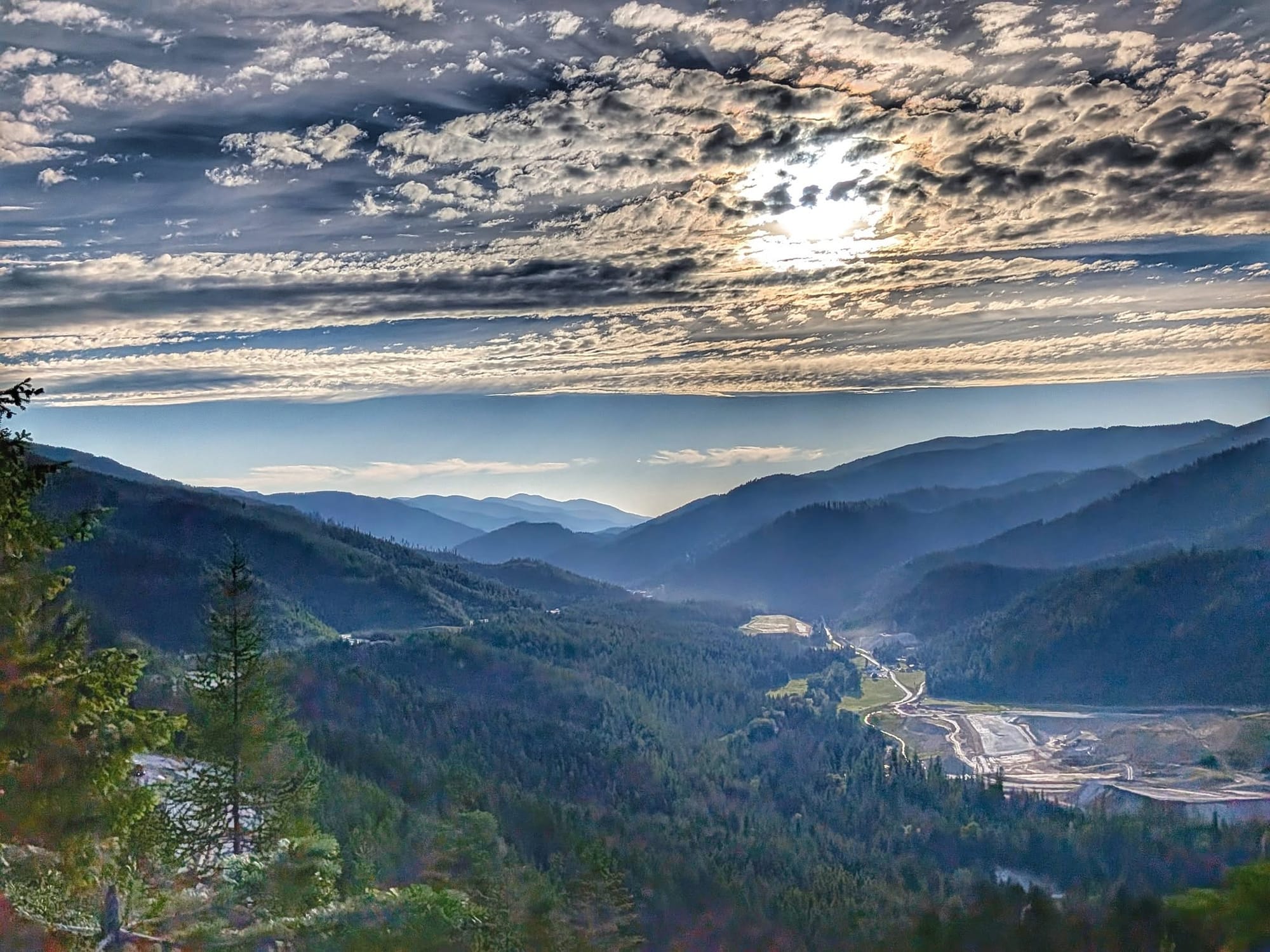
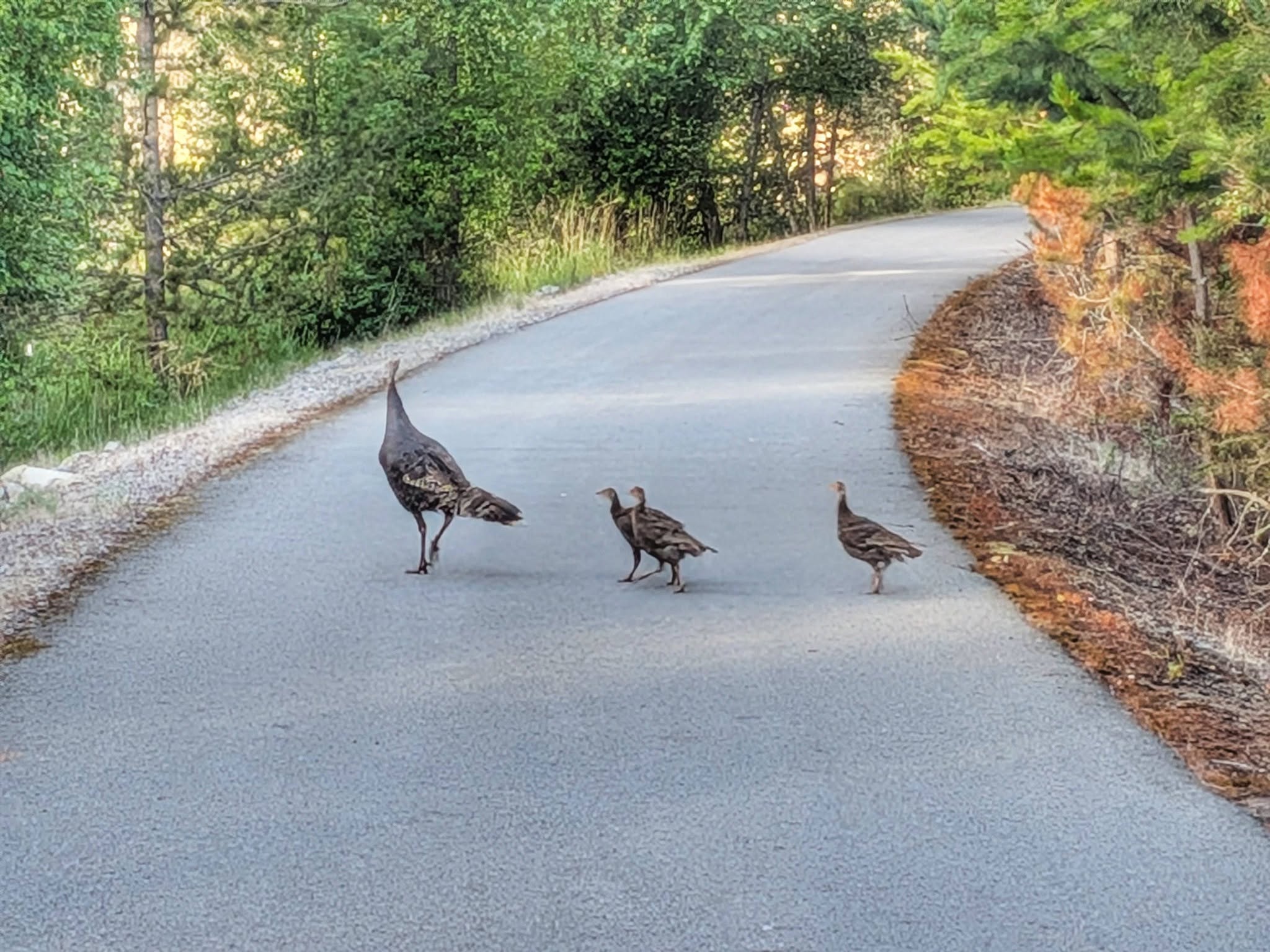
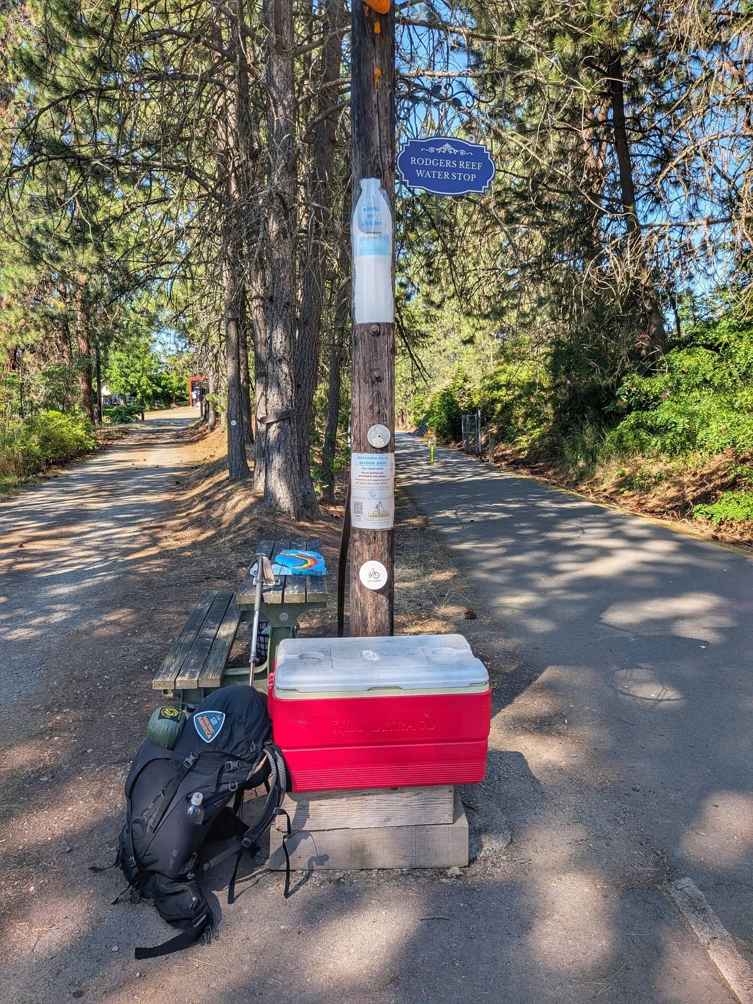
The next day along the Coeur d'Alene River gave him picnic areas every few miles, ponds and marsh full of herons, grebes, and white pelicans, and a turkey leading three chicks across the path. Halfway to Harrison, someone had left a cooler of water and a bag of Rice Krispies Treats on a bench. A bull moose stood in the shallows ignoring the cyclists, and hundreds of double-crested cormorants had colonized the tops of the shoreline trees. Bernie ate a panini at the marina, walked on toward Plummer, and called it some of the best rail-trail on the whole route. Thirty-one miles.
Into Washington and the dry Palouse
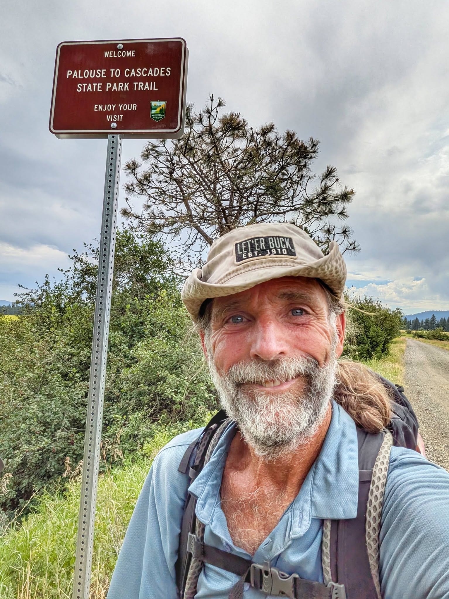
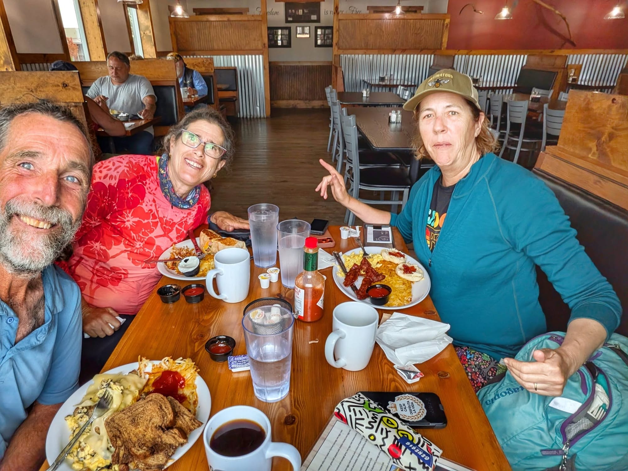
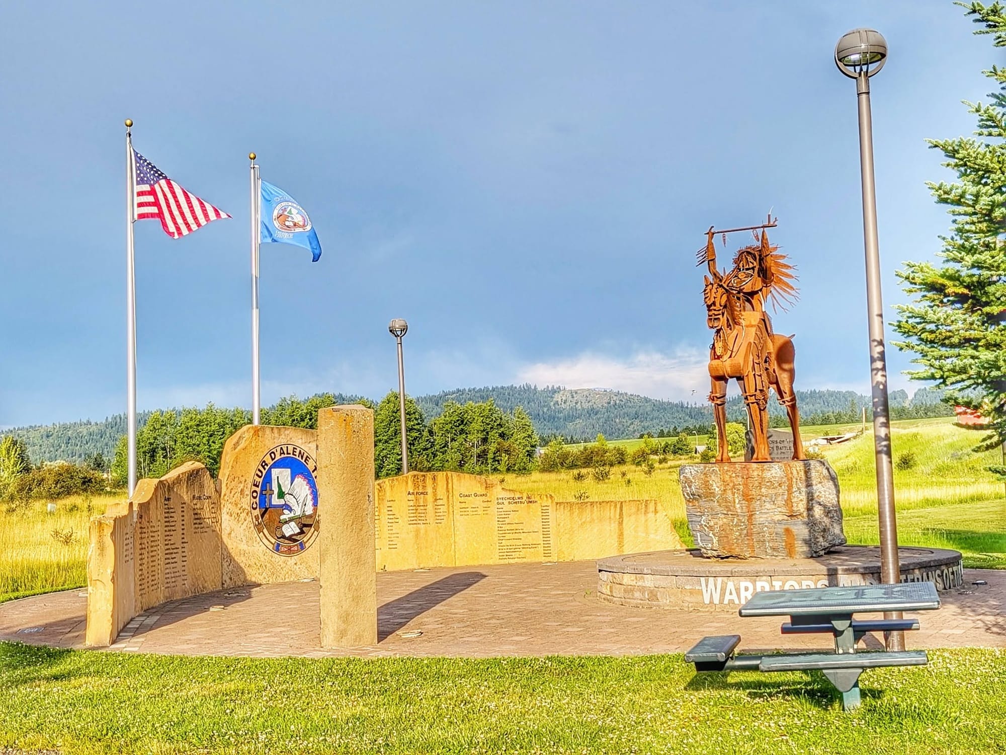
On July 16, he climbed up to Plummer by seven in the morning and had breakfast with Elaine and Trish, two travelers from Santa Barbara he had crossed paths with before, then walked back roads through the Coeur d'Alene Reservation to the Idaho–Washington border, where the Palouse to Cascades State Park Trail begins. Twelve states down, one to go.
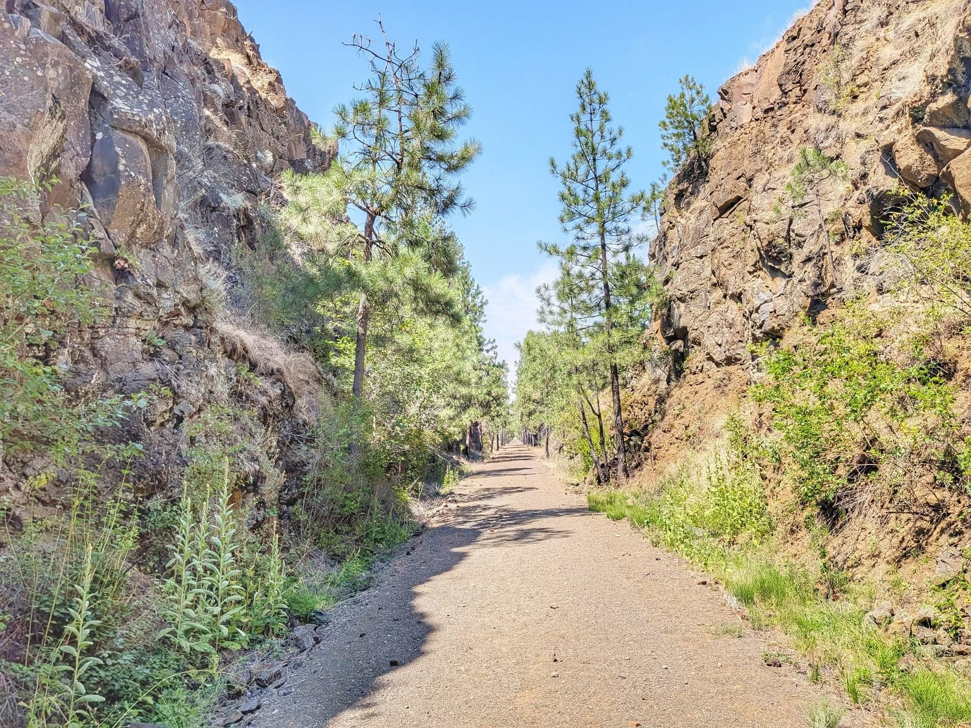
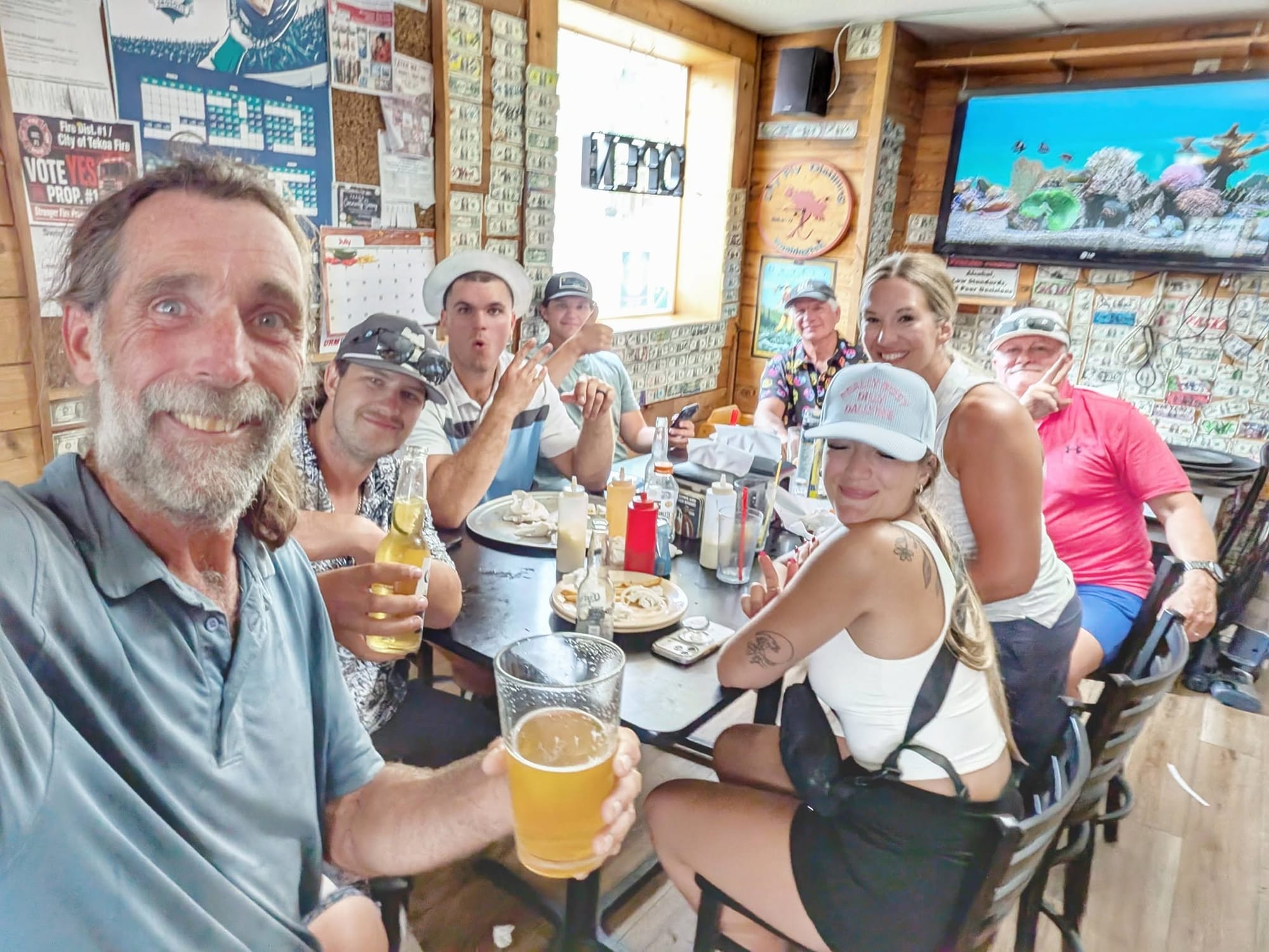
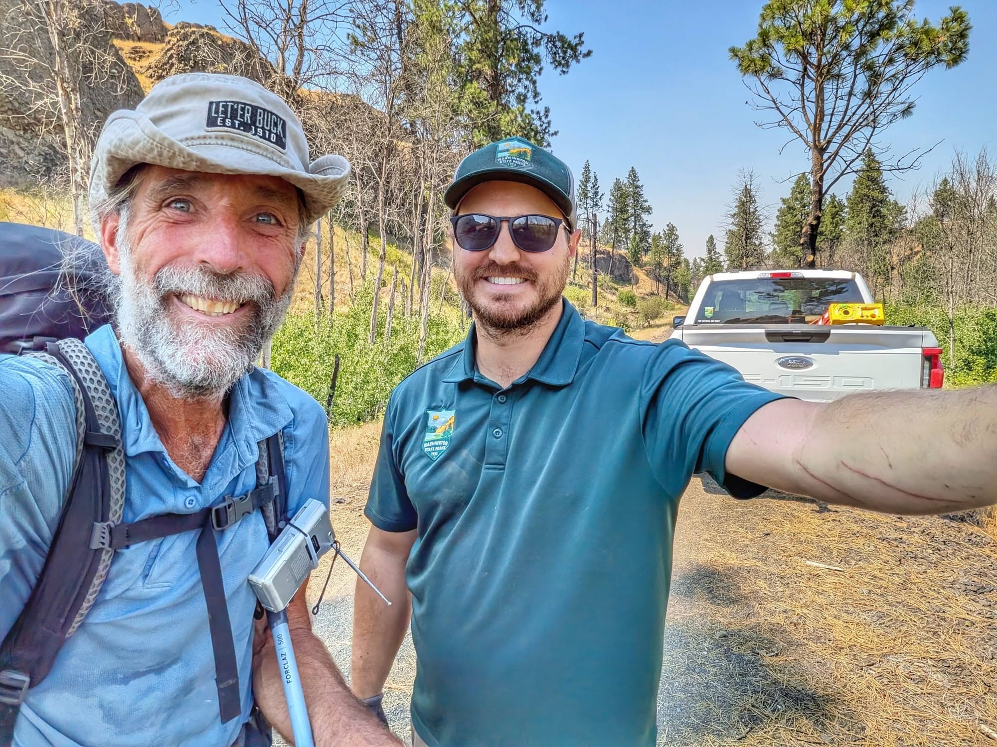
Washington ran hot and dry, with temperatures over 90 and long gaps between towns, creeks, and reservoirs. In Tekoa, he ducked into a bar for water and left with a free beer from a birthday party fresh off the golf course, then walked another ten miles into dusk past wheat and hay fields. He woke the next day to thunder and the smell of smoke, flushed pheasants and their broods out of the grain, and resupplied in Rosalia for an 80-mile push to Lind. A Washington State Parks crew member named Logan, out clearing deadfall, told him where to expect water, every 20 to 30 miles, and handed him a spare liter without being asked. That fourth bottle gives Bernie the carrying capacity he needed for the dry country ahead.
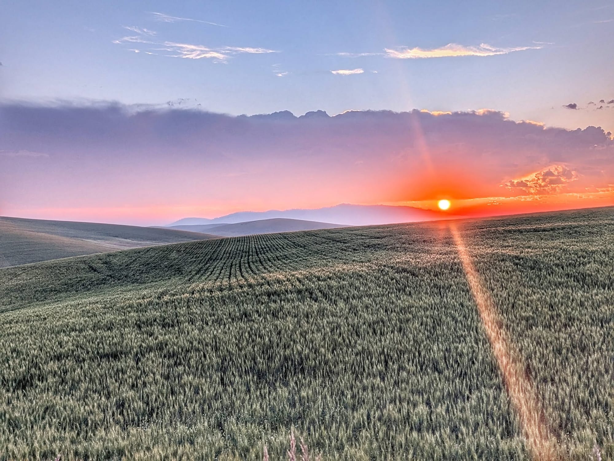
He camped near Malden after a 35-mile day, the harvest running in the fields around him. The Pacific is less than three weeks out.
Hike Your Hike - John. 🥾
Hiking America's Great American Rail-Trail GPS tracks are free at hikingamerica.com, refined in the field as Bernie walks.
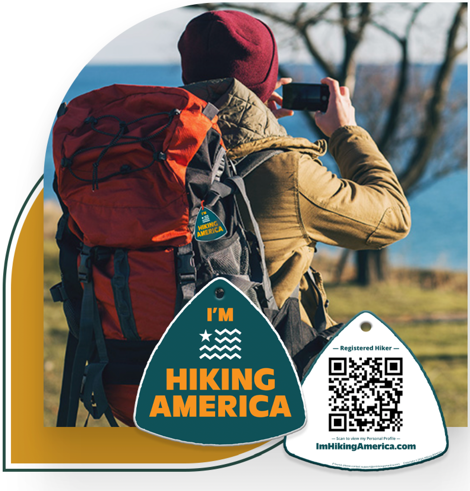
Hiking America Personalized Hang Tag
Recognized by trail angels, hostels, and fellow hikers nationwide!
Get your Custom Hiking America Hiker Tag!
Only $19 for a Limited Time!
Always Free to Hiking America Members.