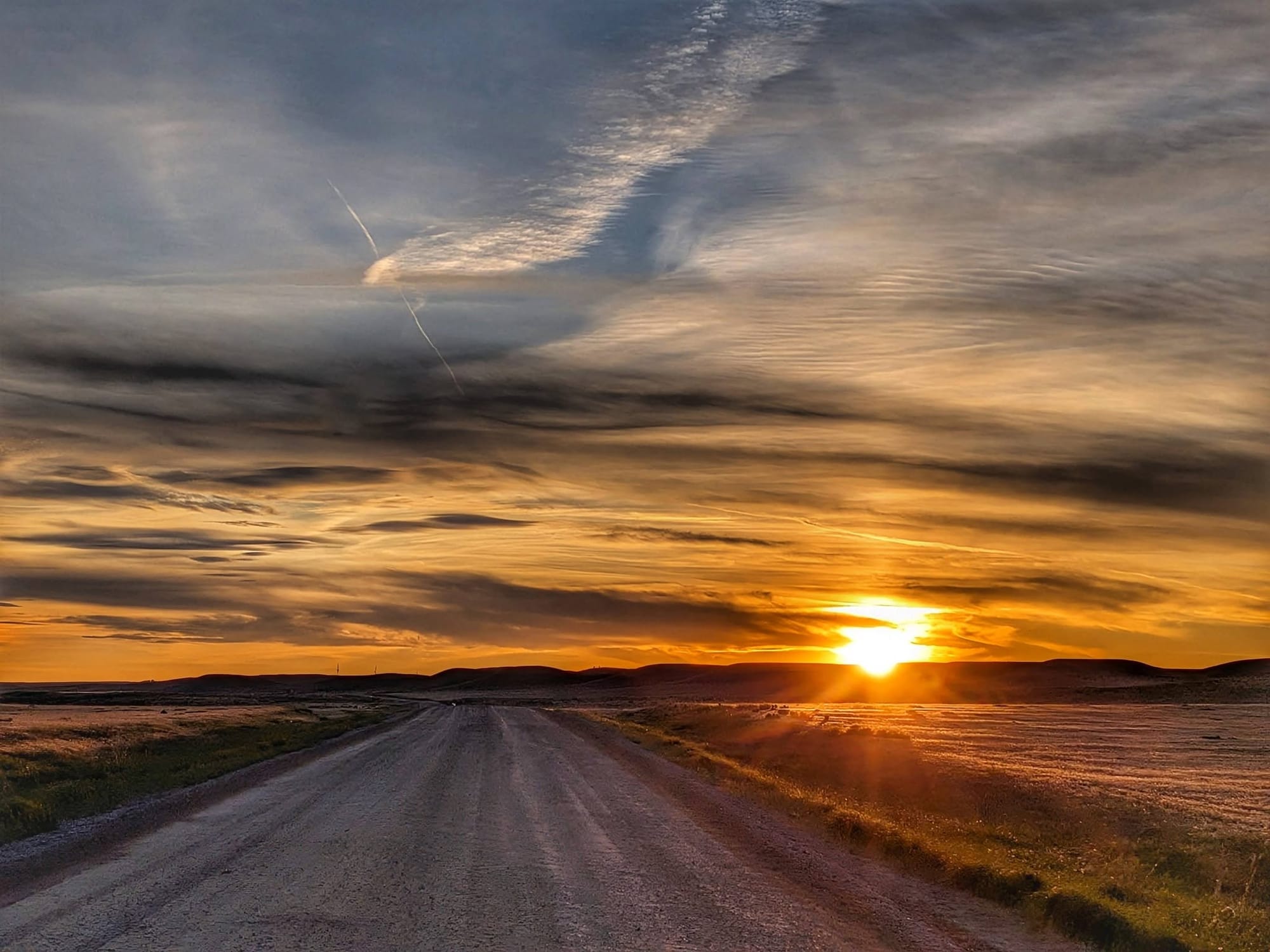
Wyoming's Great Wide Open: The Rockies Come Into View
On Day 79, somewhere past Manville, an entire mountain range rose on the horizon. Bernie Krausse had walked the eastern half of the country to reach it — and the hardest water of the trip was still ahead.

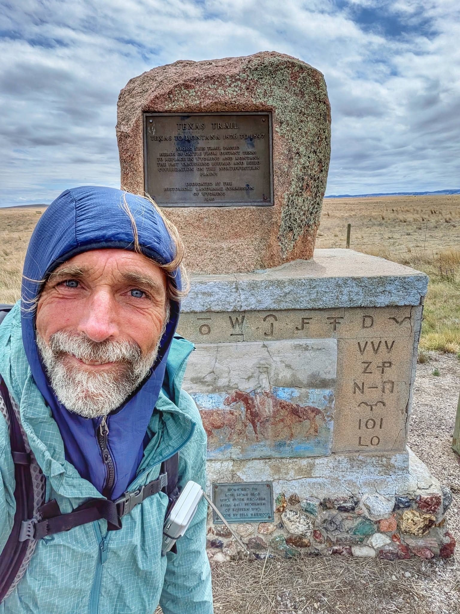
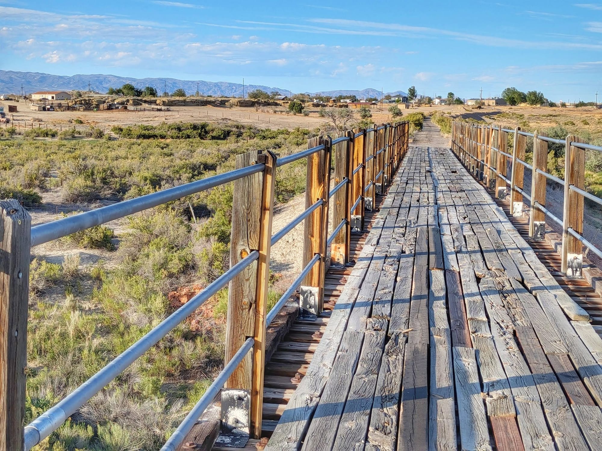
All photos by Bernie Krausse
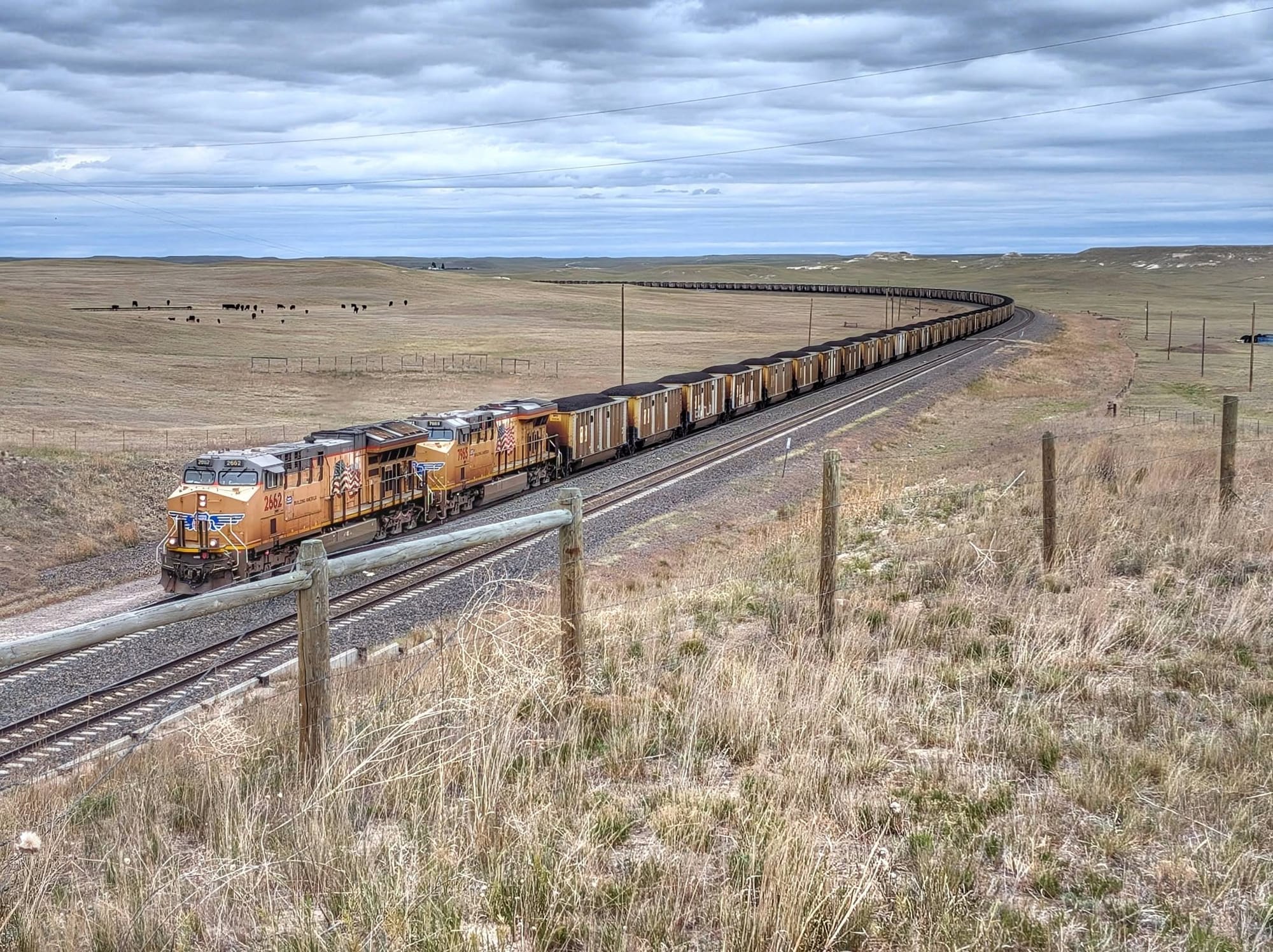
On Day 79, past Manville, Bernie Krausse looked up and saw the Rockies. An entire range, sitting on the horizon. He'd walked the eastern half of the country on the first known thru-hike of the Great American Rail-Trail to get there — every mile on foot since the Capitol Reflecting Pool back in March. "I can't believe that I finally made it across the eastern part of the United States," he wrote. "My energy level seems to have doubled."

Bernie Krausse
Great American Rail-Trail - Westbound
Started: March 28, 2026
Support Links: ImHikingAmerica, Facebook, Venmo, PayPal Donate
The cold he didn't expect
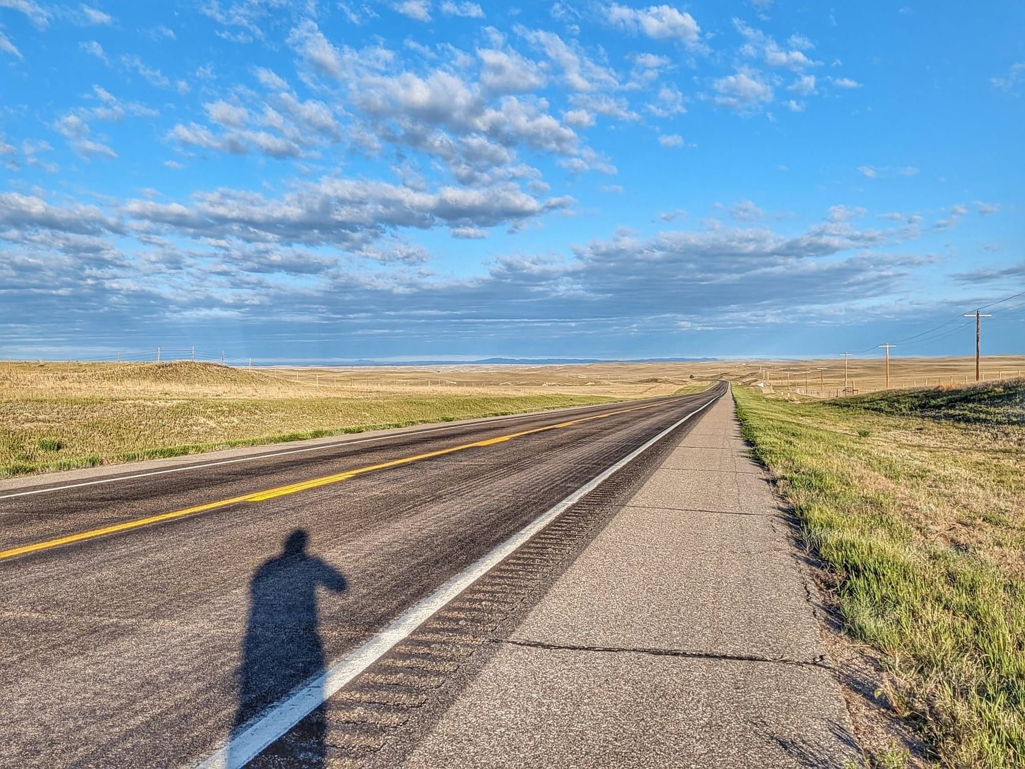
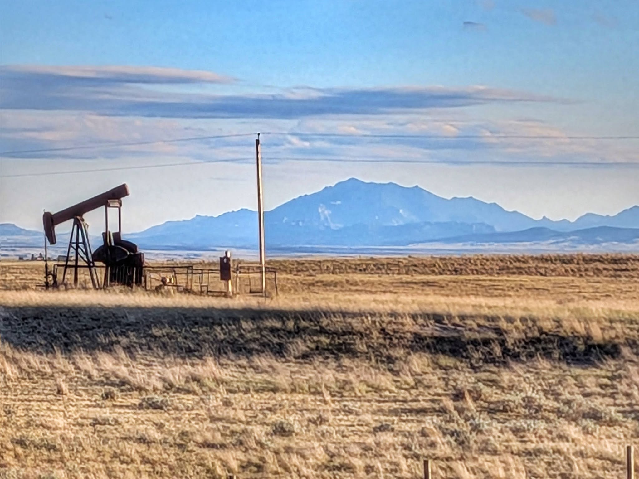
Bernie had pictured this stretch as a hundred-degree slog. It came in at fifty. He crossed the Wyoming line on Highway 20 with the wind chill near freezing, pulling every layer out of his pack — rain pants included. At 5,000 feet, the humidity dropped, and the heat broke. Snow fell in Yellowstone. The highway behind him closed again for fire danger. Fort Robinson's old buildings — where Crazy Horse was held and killed — were spared from the flames.
Frost on the tent two mornings running. His own breath, freezing.
Water by the cattle trough
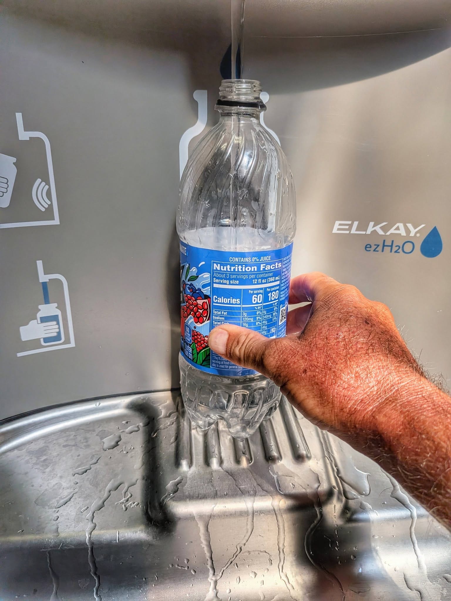
West of Casper, Bernie filled a bottle with bleach from Raj at the Showboat Inn and walked into BLM land. Out here the next reliable tap can be a full day off. He treats two drops per liter and pulls from whatever's there — reservoirs, cow tanks, cattle troughs fed by old wells.
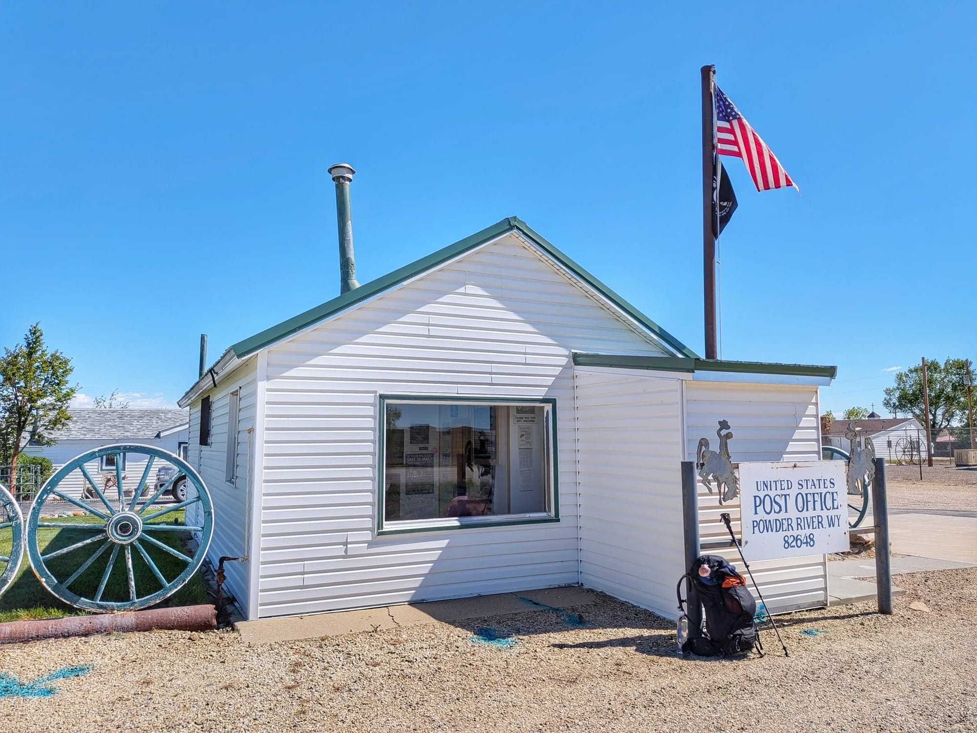
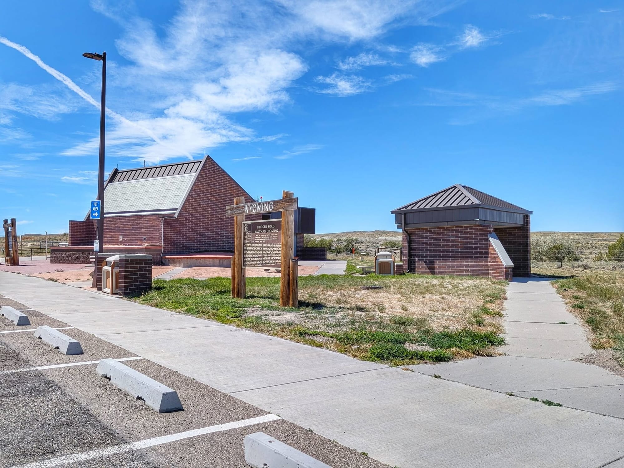
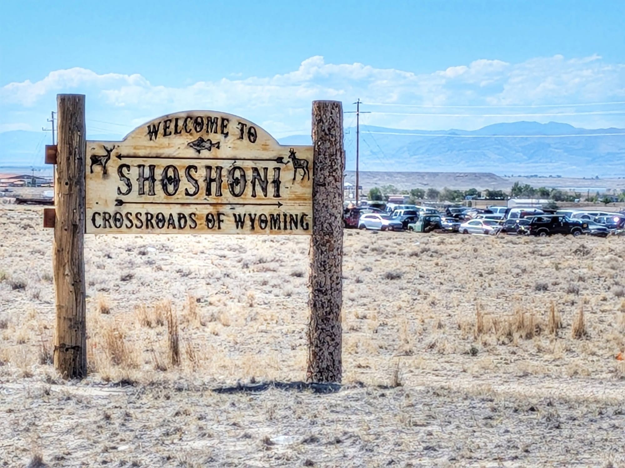
In Powder River, the postmaster warned him off the town well. Too many nitrates to drink. A mail carrier handed him a liter from his delivery truck. A neighbor came out with a Gatorade. And at the Waltham Rest Area he found a water-filtering station and loaded 4.5 liters for the 45 miles into Shoshoni.
Bernie has lost count of the people pulling over to offer him a lift. A young woman near the state line. A retired man in Glenrock. A guy towing an ATV. A van driver who couldn't believe anyone would rather walk. "I must have a lifetime record now of receiving offers of unsolicited rides that I never take," he wrote.
The two he stopped for
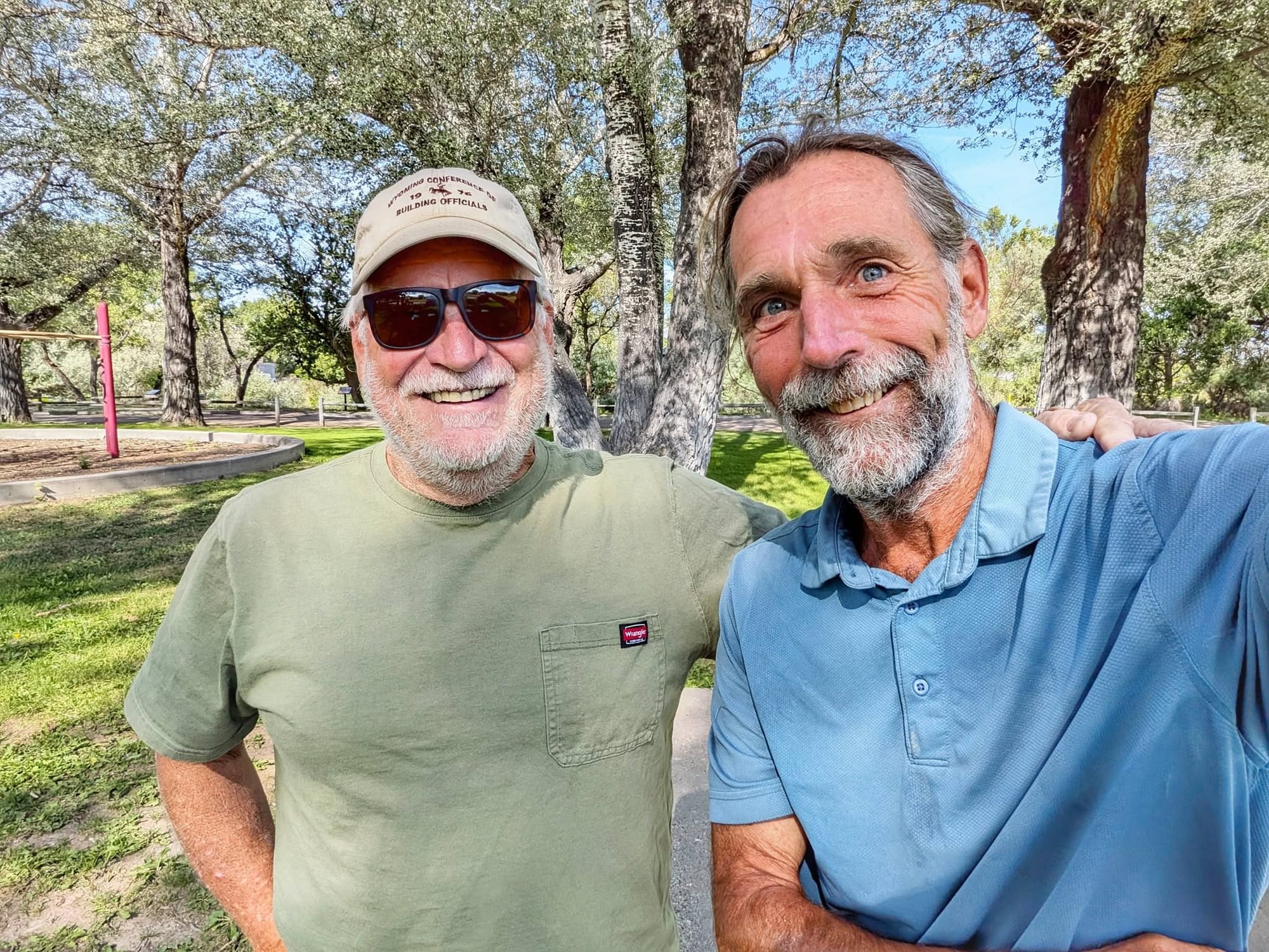
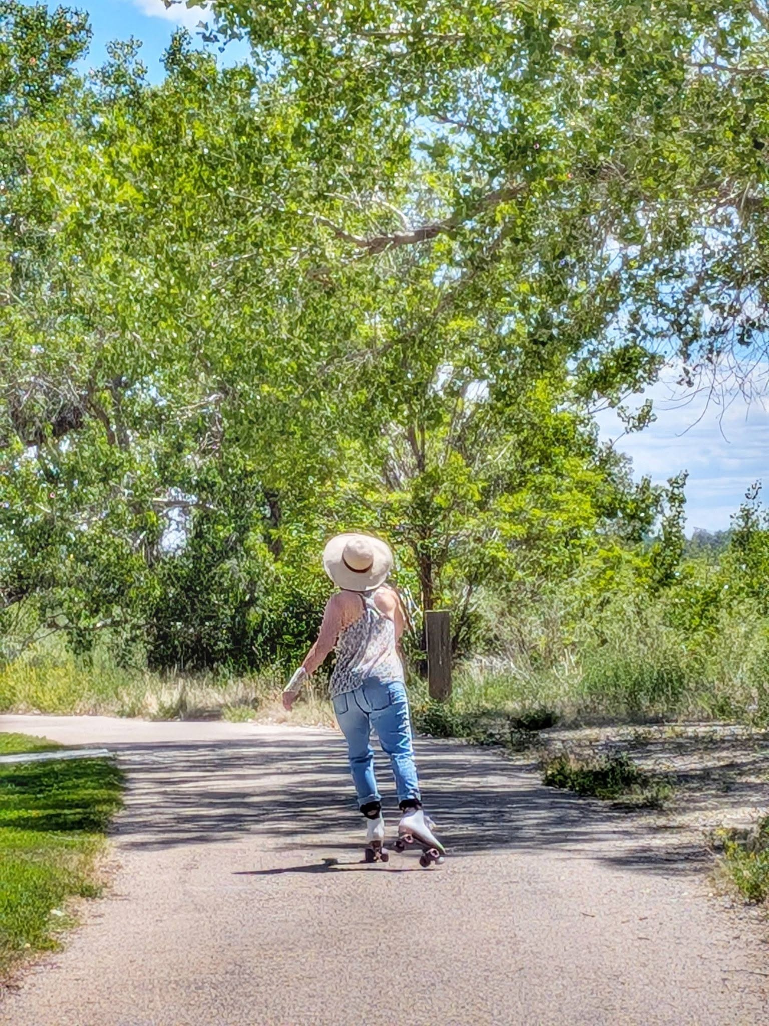
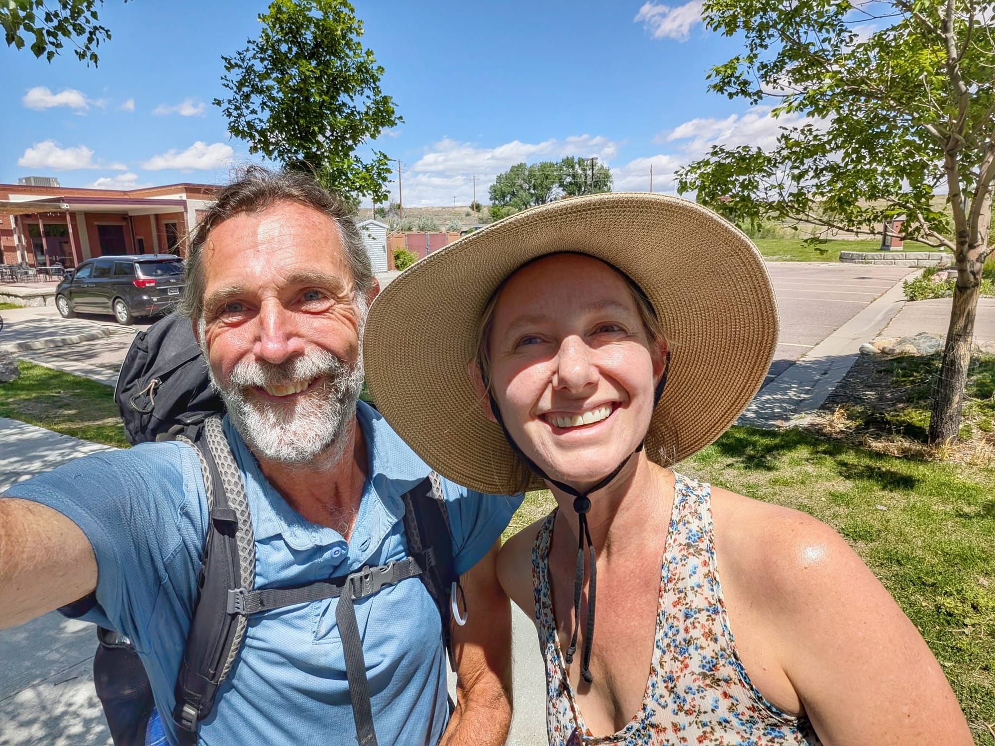
In a park off the Glenrock rail-trail, Bernie met Mark — born in Oakland a decade before him, his father working at the Oakland Airport, half a mile from the house Bernie grew up in. They threw sticks at a toy plane stuck in a tree until Bernie knocked it down on the sixth try. The next day a roller skater named Amy spotted the Camino scallop shell on his pack. Her husband and daughter had walked the Camino. Bernie said the word synchronicity, and she asked if he was Jungian. She was a therapist.
Toward the Divide
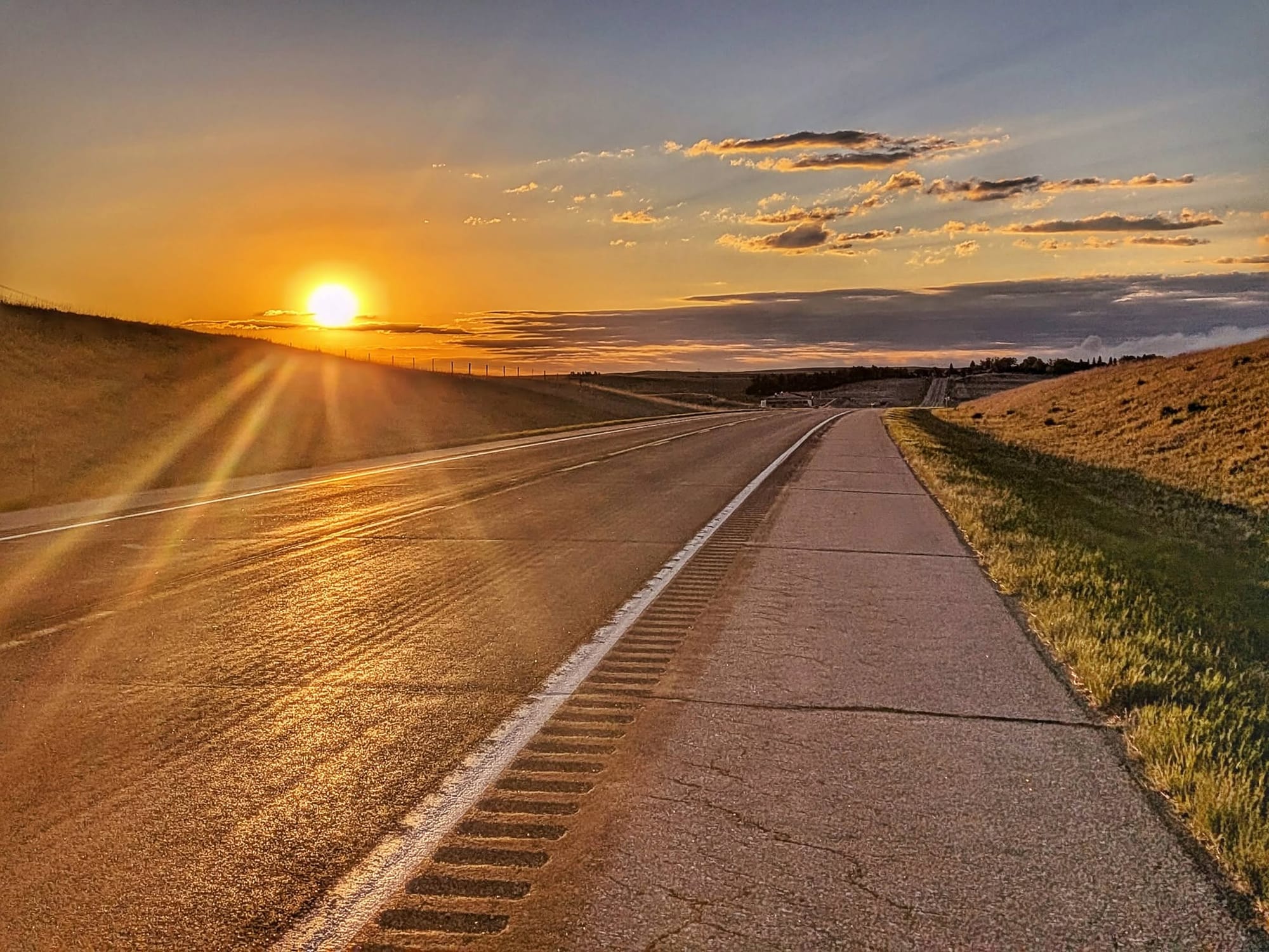
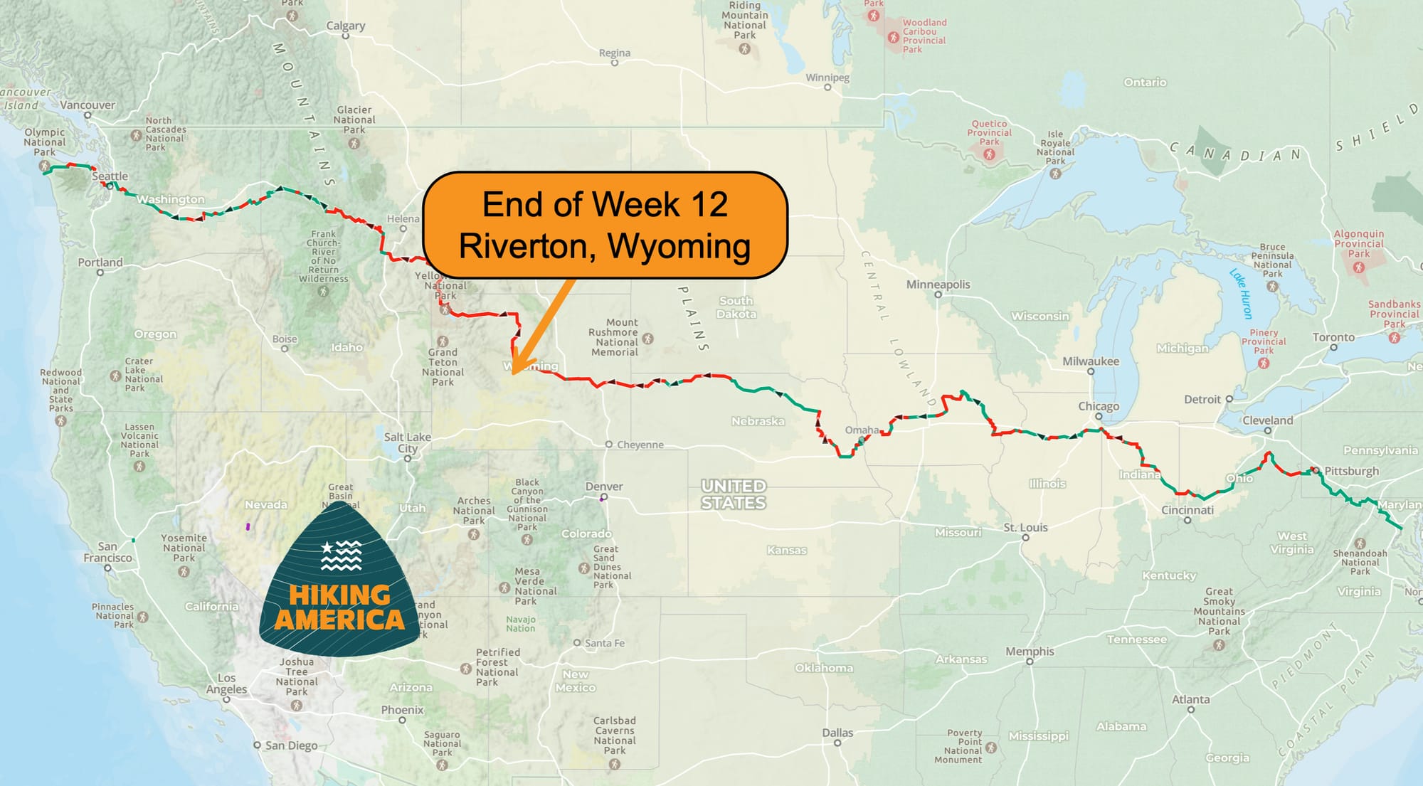
At Shoshoni, he stepped off the highway for a little while. The Wyoming Heritage Trail takes him into Riverton next, then it's US 20 up toward Dubois and the Continental Divide. Snow's already showing on the peaks. This is the Wyoming gap — the biggest on the Great American Rail-Trail — where our hiking route leaves the rail corridor and climbs into the mountains.
He should hit the Divide in a couple days. The end of the long road walk. The start of the wilderness he came for. "My return to my beloved wilderness," he wrote, "coinciding with my truest lens to my being human."
Follow the route as it's built
Every water source, closure, and reroute Bernie reports goes into Hiking America's Gaia GPS data. His hike is the first full field verification of our Great American Rail-Trail routes and data.
The free GPS tracks get you across the country.
The curated waypoints — water, food, a bed — are what we're building in real time, mile by mile, as he walks. That's what a Hiking America subscription gets you.
Hike Your Hike - John.