
Week 18: Bernie Krausse Crosses the Cascades and Walks Into the Olympic Peninsula
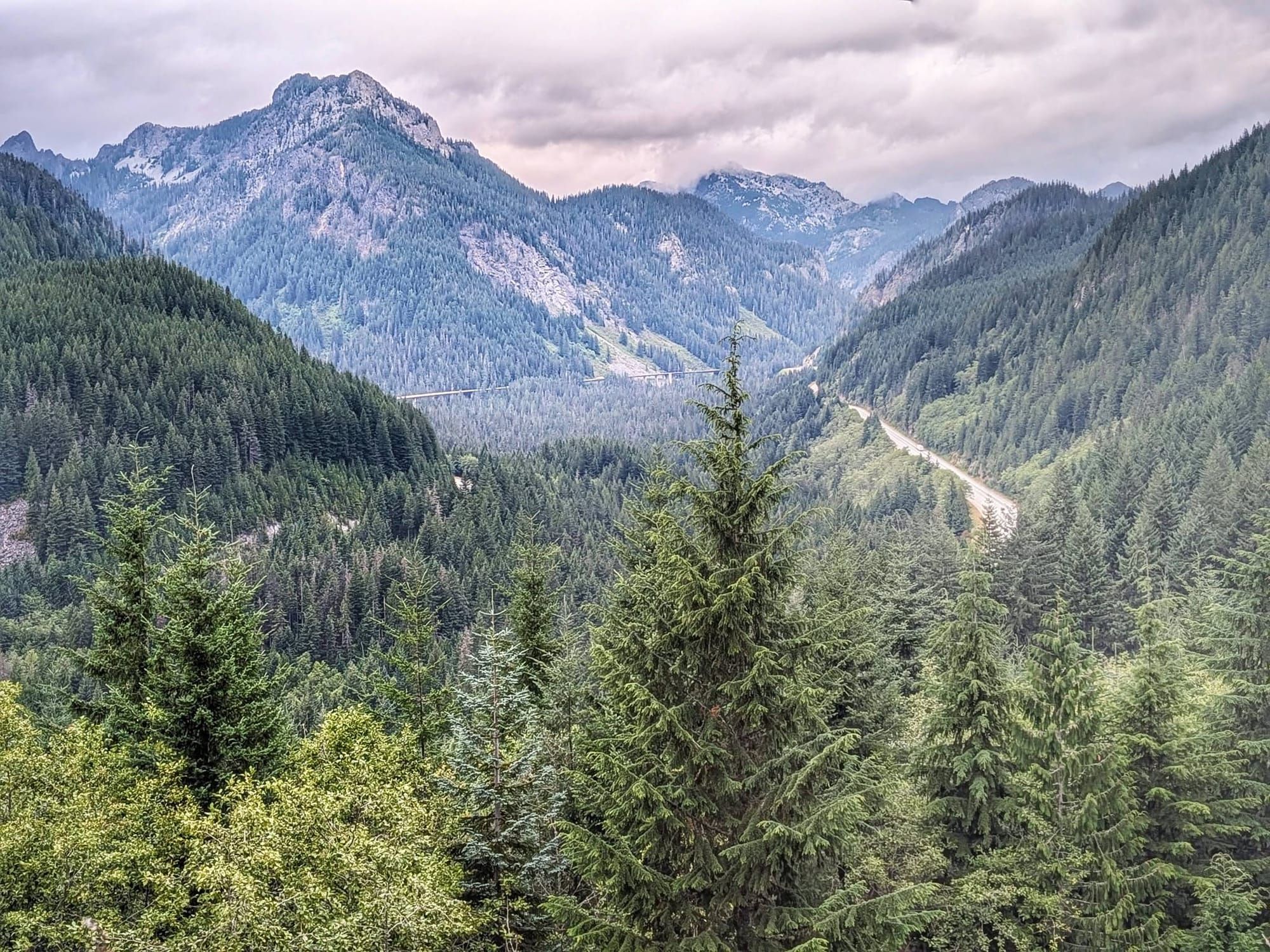
The tunnel under Snoqualmie Pass runs 2.3 miles in the dark. On the far side, the Cascades fall away, and the Pacific starts to feel close.

All photos by Bernie Krausse
Key takeaways
- The Snoqualmie Tunnel runs 2.3 miles beneath the Cascade crest with no lighting inside. A headlamp is required equipment, not a nice-to-have.
- Avalanche-closure signage west of Hyak contradicted itself in both directions. Cyclists coming through confirmed the trail was open.
- The Palouse to Cascades State Park Trail ends at Rattlesnake Lake, where the Snoqualmie Valley Trail picks up toward North Bend.
- Nearly the whole corridor from Lake Forest Park to Mukilteo carries sidewalk or separated trail.
- Roughly 200 miles remained to La Push when Bernie Krausse left Seattle.
Bernie Krausse
Great American Rail-Trail - Westbound
Started: March 28, 2026. Washington, DC, Capitol Reflecting Pool.
Finished: August 3, 2026. Day 130, La Push, Washington.
Support Links: ImHikingAmerica, Facebook, Venmo, PayPal Donate
Sixty Miles of Downhill
Cle Elum sits on the dry side. From there, the Palouse to Cascades State Park Trail gives back everything the eastern half of Washington made Bernie Krausse earn, sixty miles of it, dropping toward the western slope of the Cascades and the resupply waiting near Seattle.
The smoke went first. It had been in the sky for weeks, and then it wasn't.
What replaced it was silver fir, common through Washington's montane zone and absent from everything Bernie had walked since spring. Vine maple came back with it. So did Oregon grape. He ate the berries off the stem, and they were sour.
Then a black bear and two cubs crossed the rail-trail in front of him. First bear of the journey. One hundred and twenty days in.
The Sign Said Closed
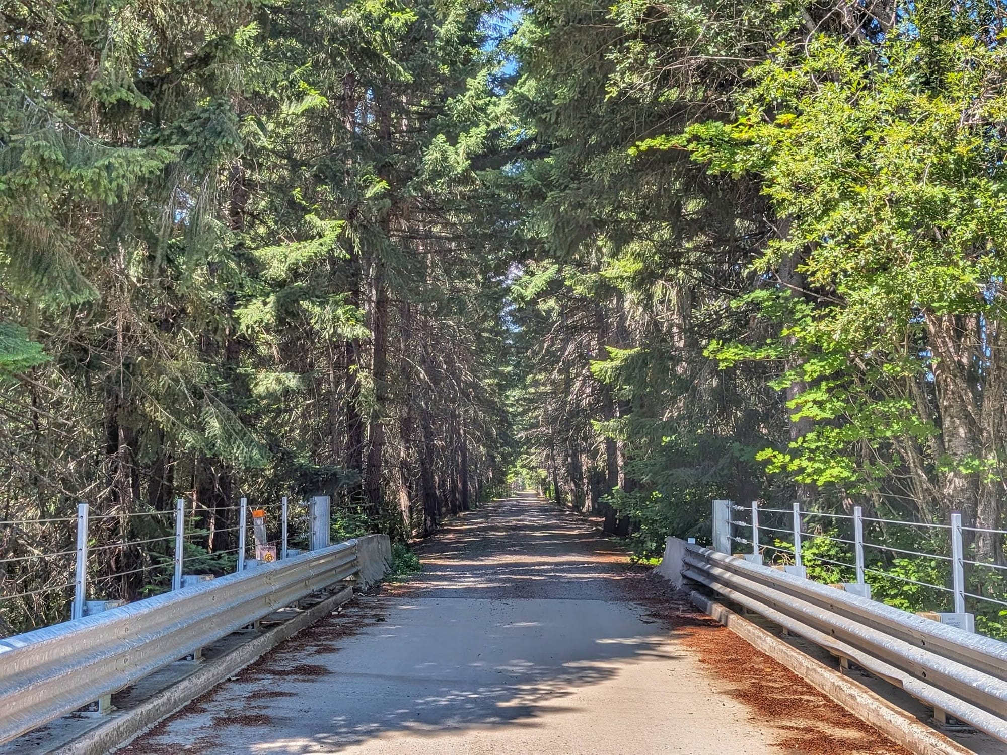
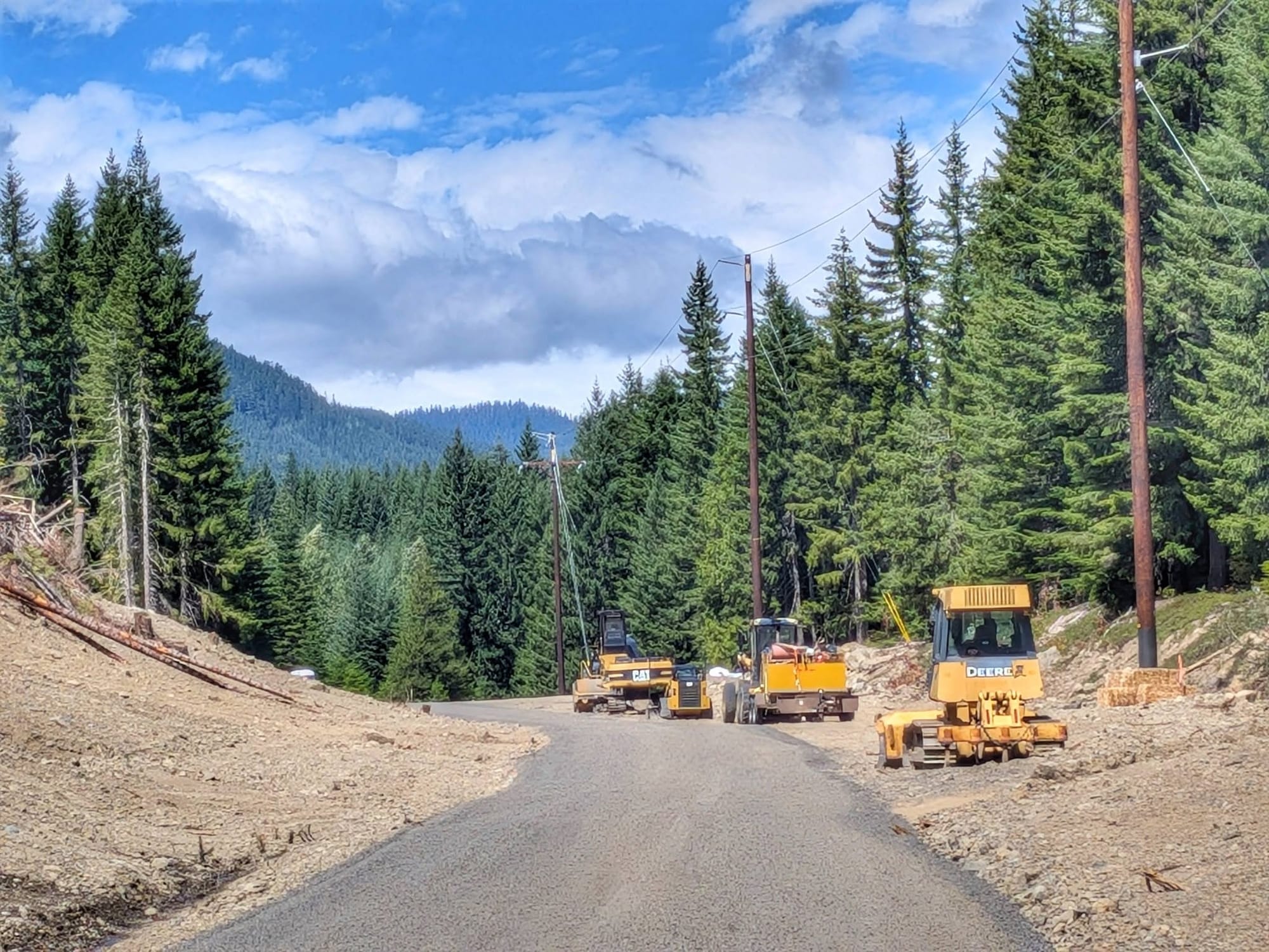
A winter avalanche had torn up a section of the trail, and the sign warning about it was cryptic enough that nobody could tell whether it still applied. Crews had re-graveled the tread to bring heavy machinery in and shore up the slide area. Searching online suggested the trail may have reopened that same day. It did not say so clearly.
Cyclists riding the other direction confirmed it was open. Bernie talked to a lot of people near the lake who were working through the same contradiction between the posted closures and the detours.
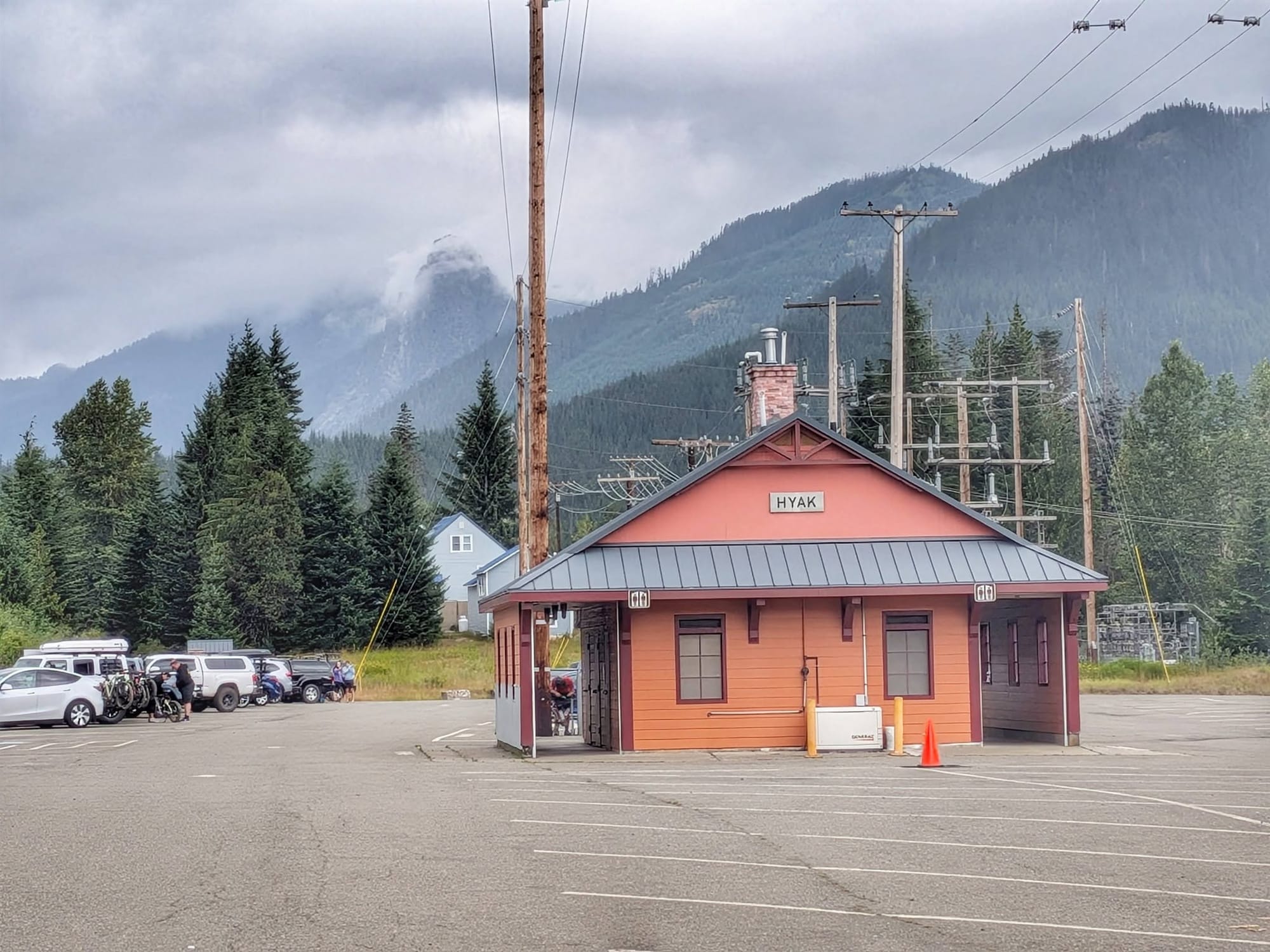
At Hyak there is a public restroom with showers and an outlet to charge a phone. Rain started shortly after he arrived. The temperature sat in the low fifties, about forty-five degrees off what he had been walking in a few days earlier.
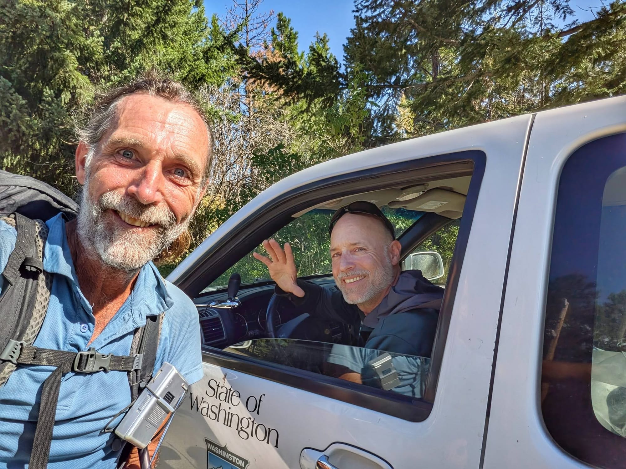
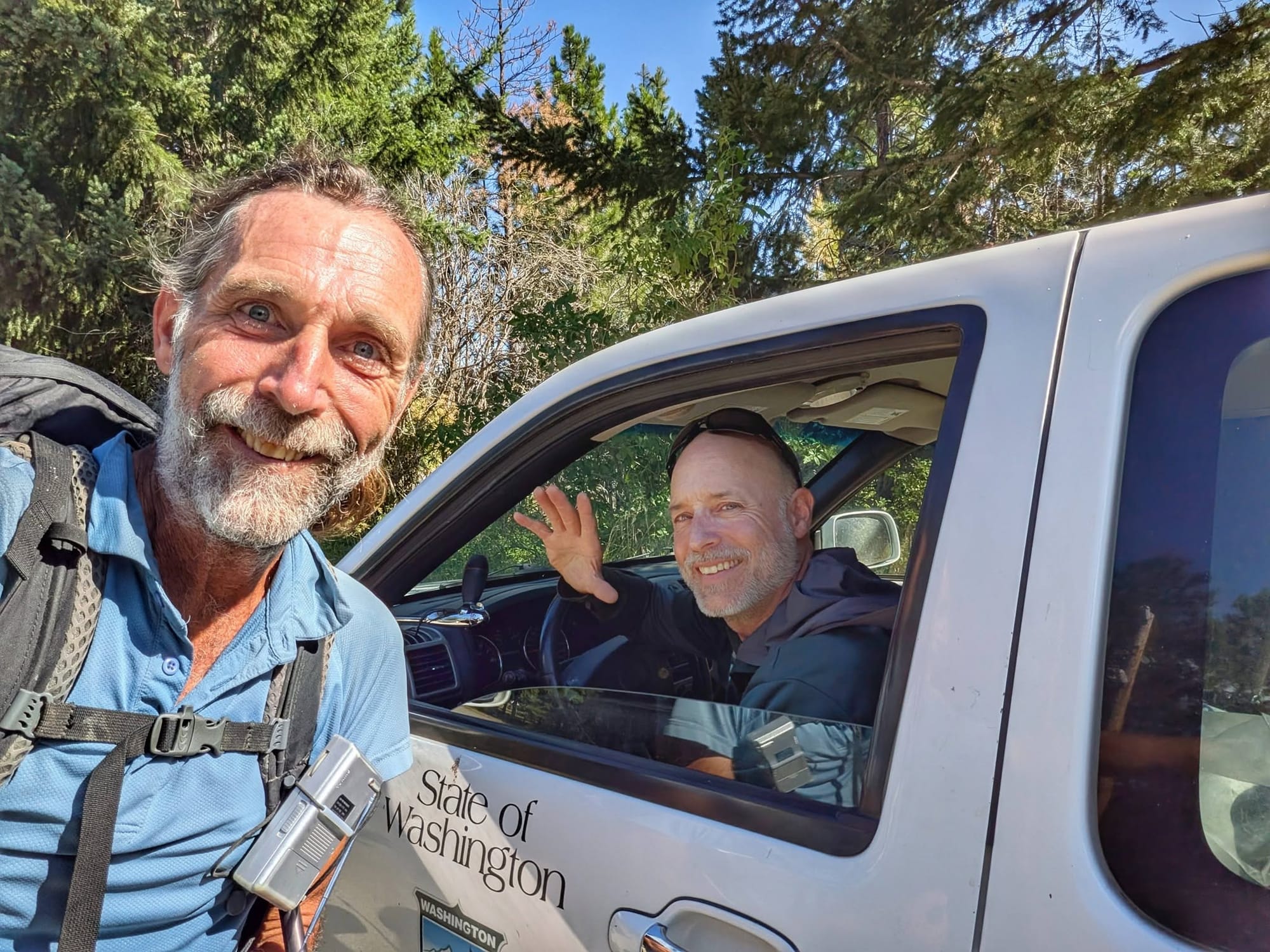
Earlier that day he met Eric, a seasonal employee with Washington State Parks who spotted the Camino shell on Bernie's pack. Eric has walked a few Caminos himself and plans to do the Camino de Santiago this winter.
Under the Pass
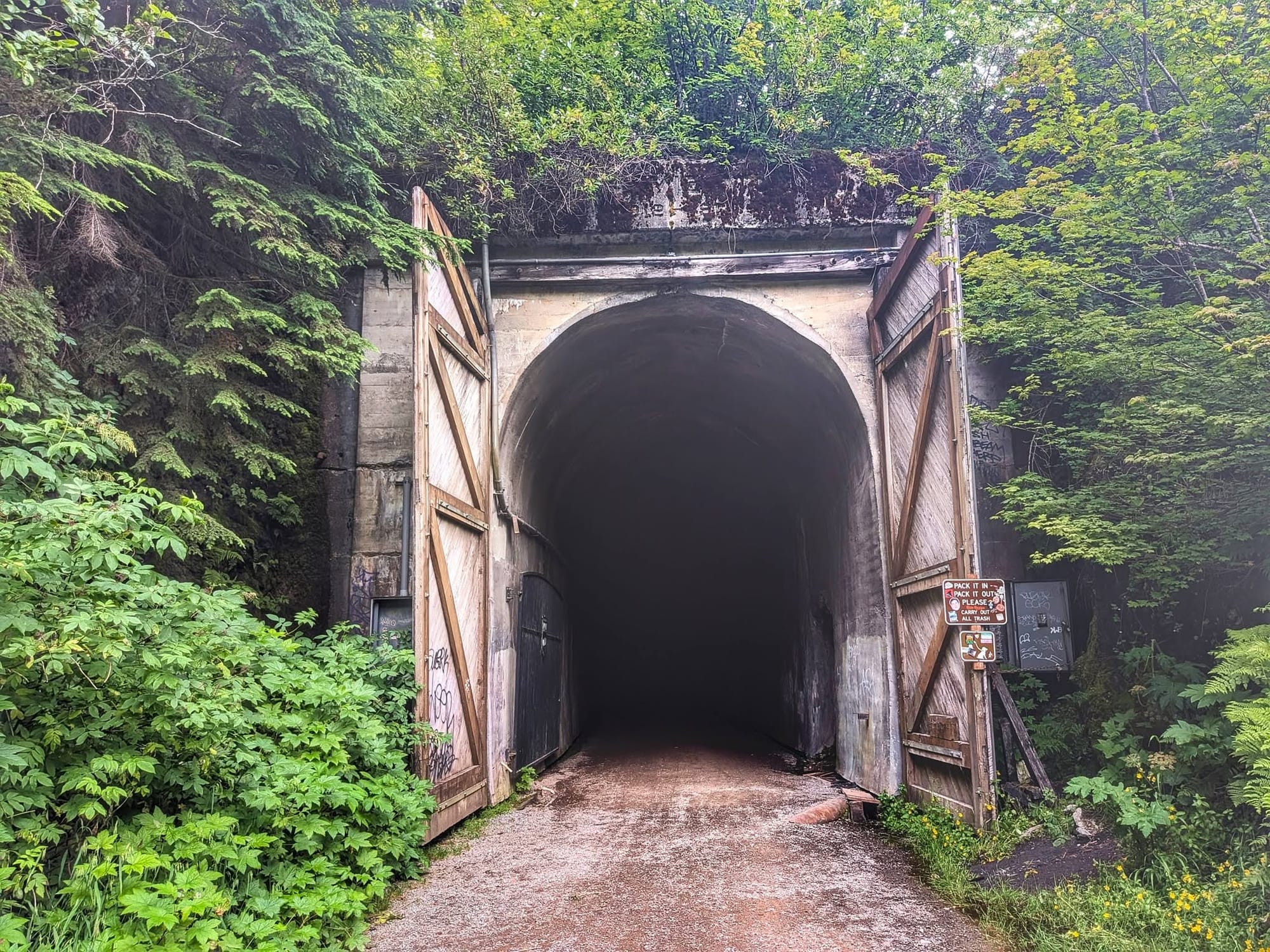
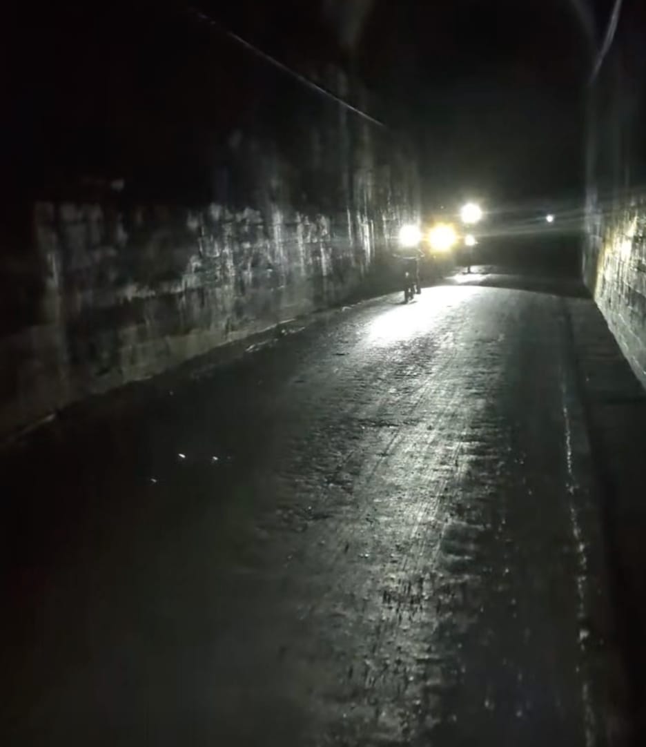
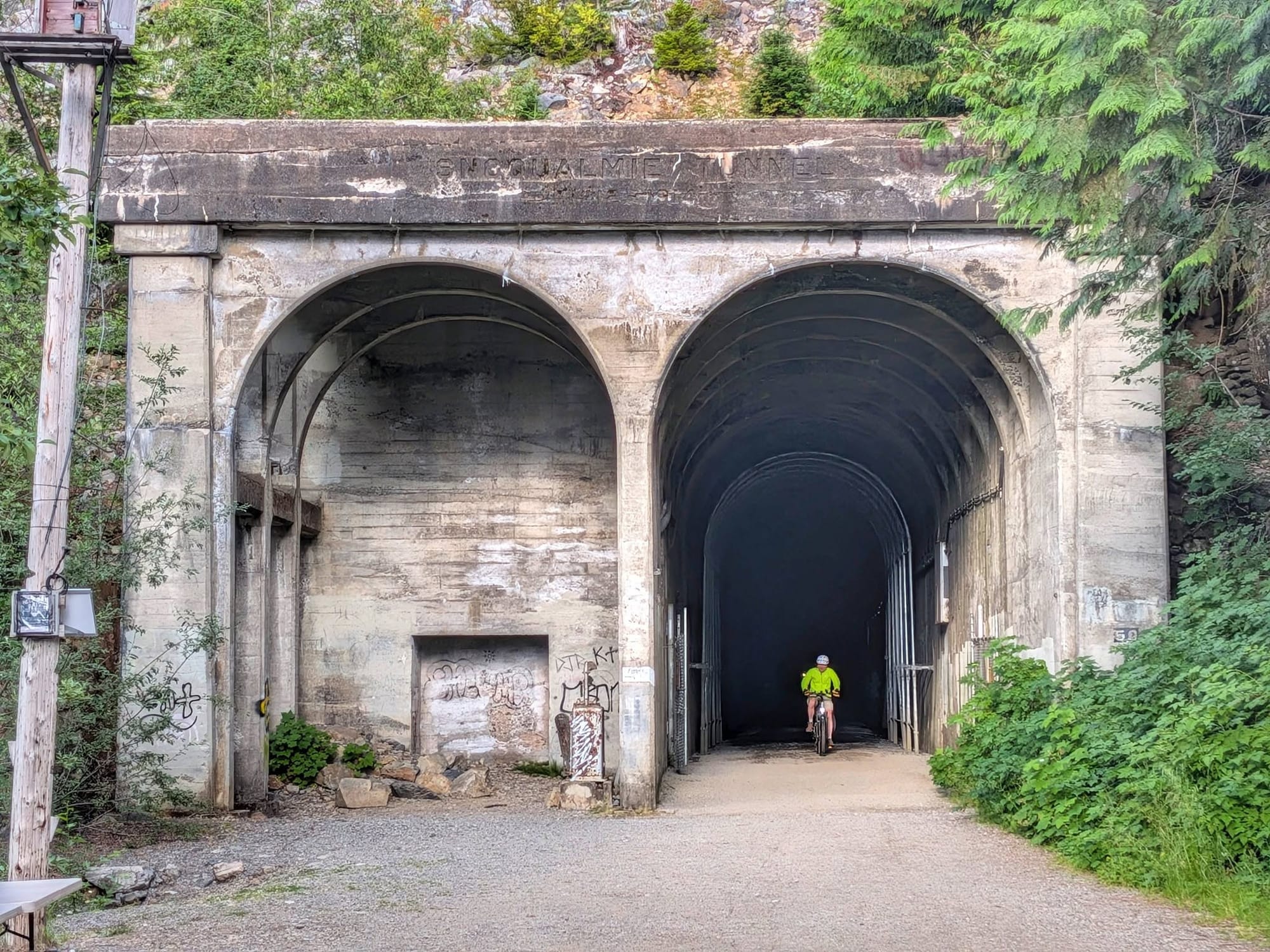
The Snoqualmie Tunnel is 2.3 miles long and completely unlit. It is the longest rail-trail tunnel in the United States, bored beneath the crest of the Cascades, and the Pacific Crest Trail crosses somewhere overhead while you are down inside it walking in your own headlamp beam.
The air in there runs roughly twenty degrees cooler than outside.
Thirty-seven miles that day.
Breakfast Was Thimbleberries
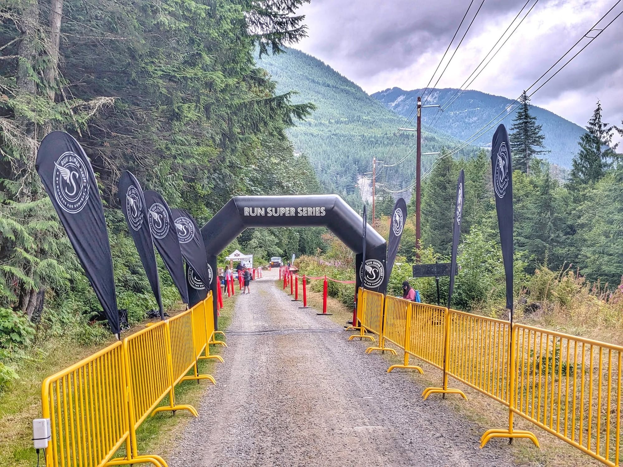
The Jack and Jill's Downhill Marathon runs this stretch of trail, and Bernie walked the course before the runners were on it. He got to the finish line first. He would like that noted.
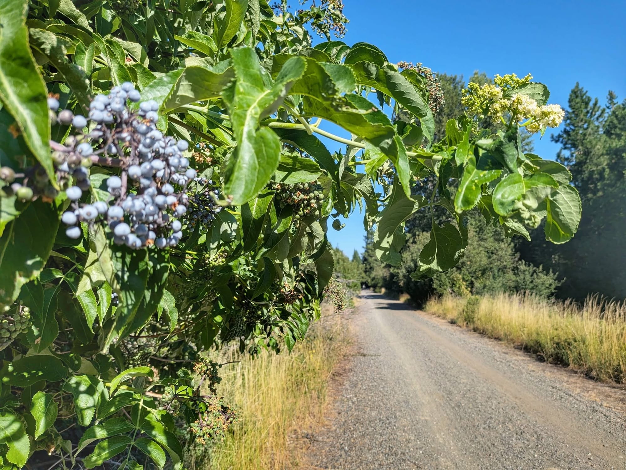
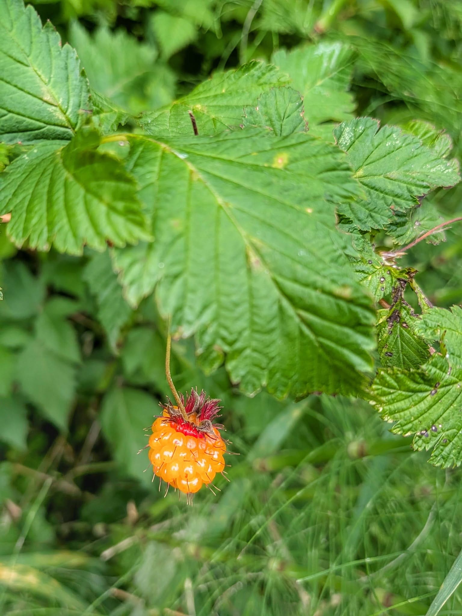
Thimbleberries were ripe alongside the tread. Salmonberries too, sweet and sour at once, closer to grapefruit than anything else. Salal berries, fuller-bodied, were in among them. This is the habitat where Bernie first learned to identify wild edible plants thirty years ago, and the names came back on their own.
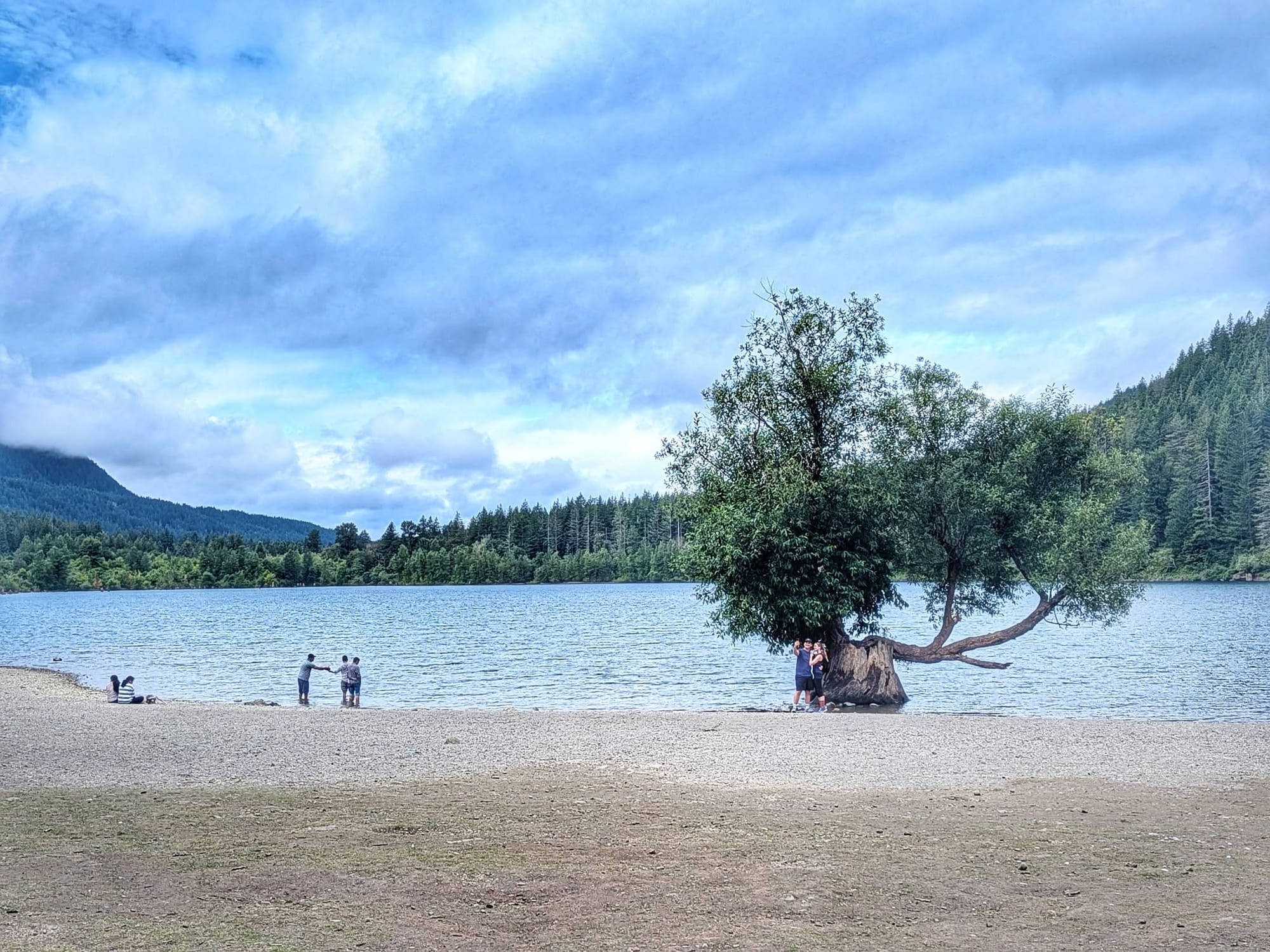
Rock climbing walls line the corridor as it descends into Olallie State Park. The Palouse to Cascades State Park Trail ends at Rattlesnake Lake. The Snoqualmie Valley Trail starts there and runs into North Bend.
Bernie kept walking to Snoqualmie and its brewery.
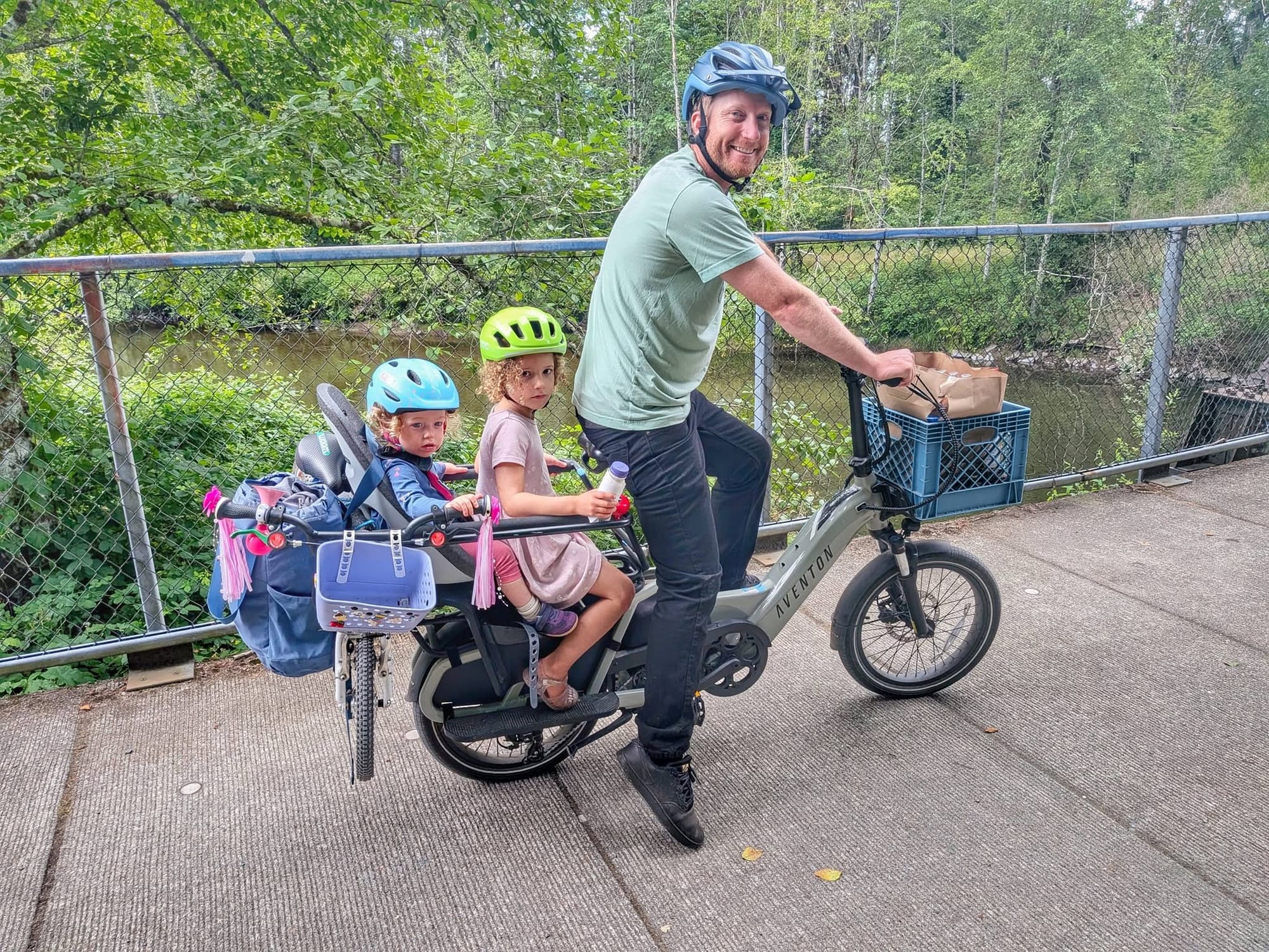
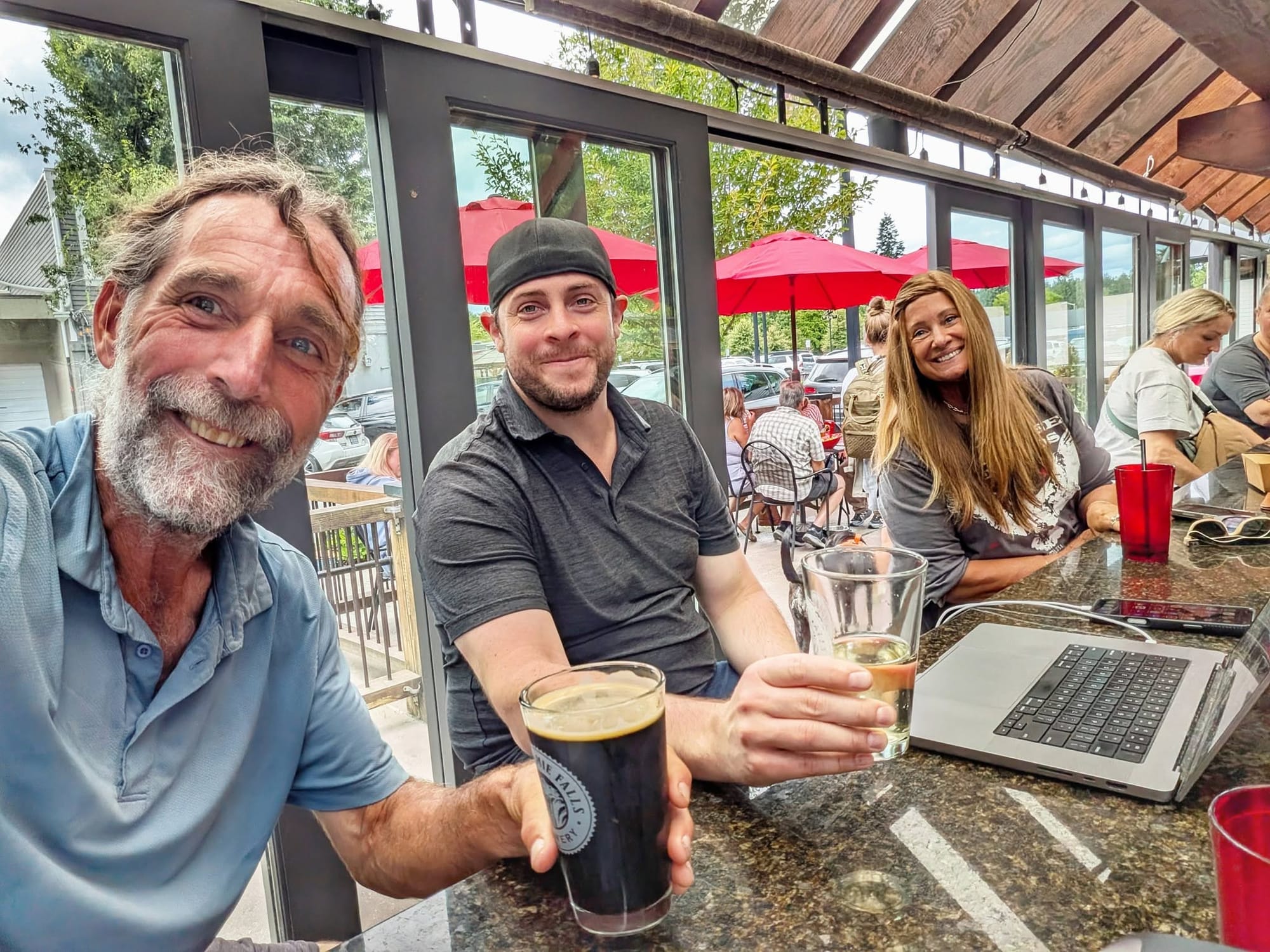
On the way he fell into conversation with Rusty, who was riding his kids home from the supermarket on a bike. At the bar, the bartender announced that a beer had Bernie's name on it, courtesy of Rusty. Susan, sitting nearby, bought him a porter because she intends to walk the Camino de Santiago next year.
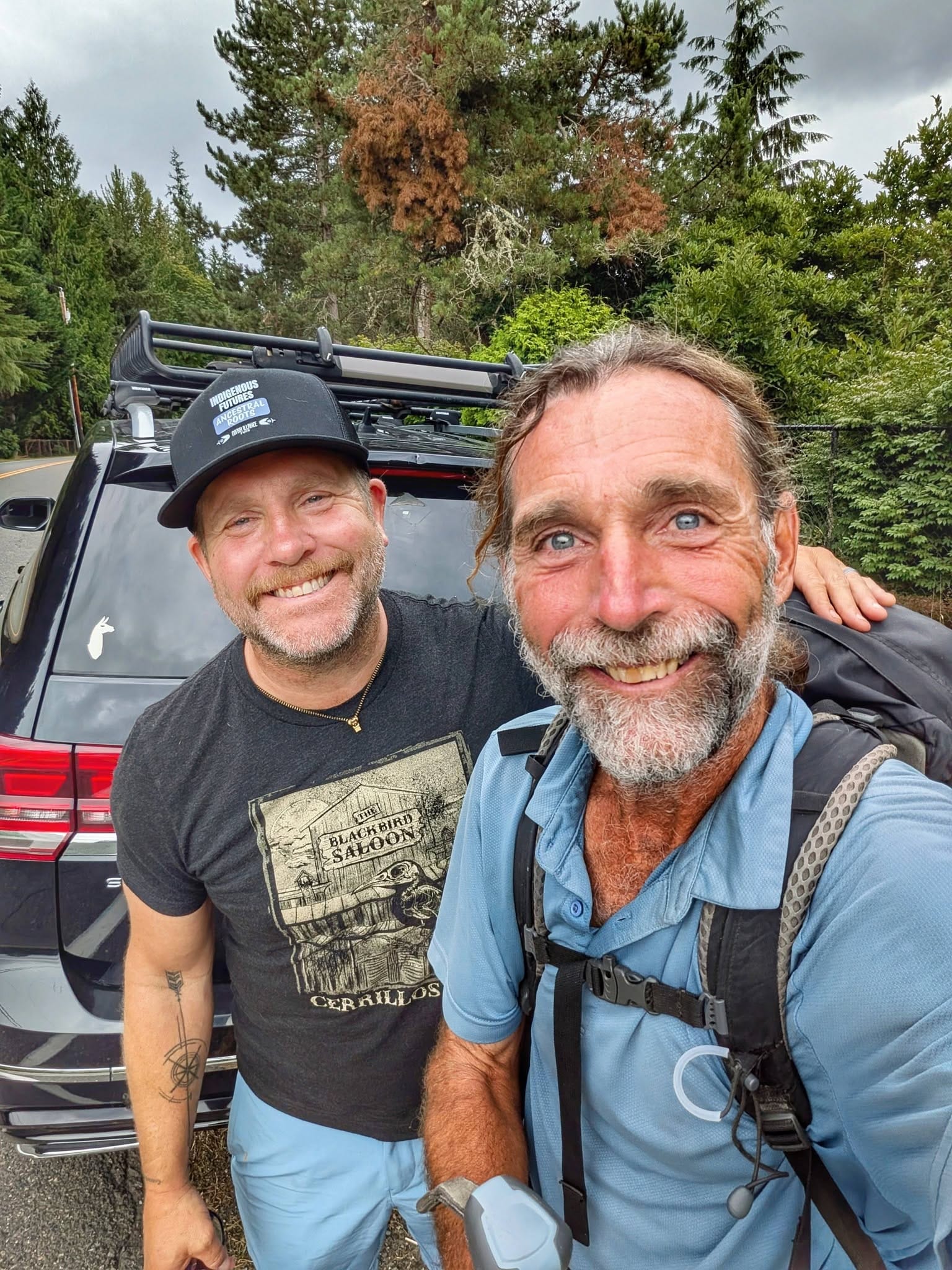
Local trails carried him onto the Whitaker Trail beside a golf course, a single track that drops to the paved Preston Snoqualmie Trail. There he met Jake, who was scouting a pilgrimage route from Cle Elum to Seattle. Bernie was carrying every piece of information Jake needed. Jake invited him to speak at a conference in Seattle in January.
Thirty-four miles.
Into the Emerald City
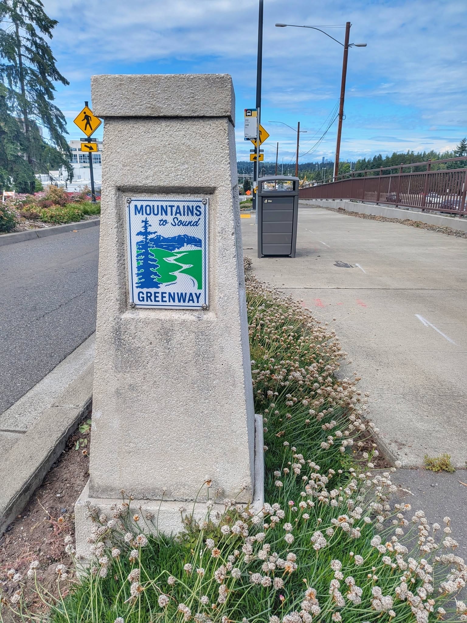
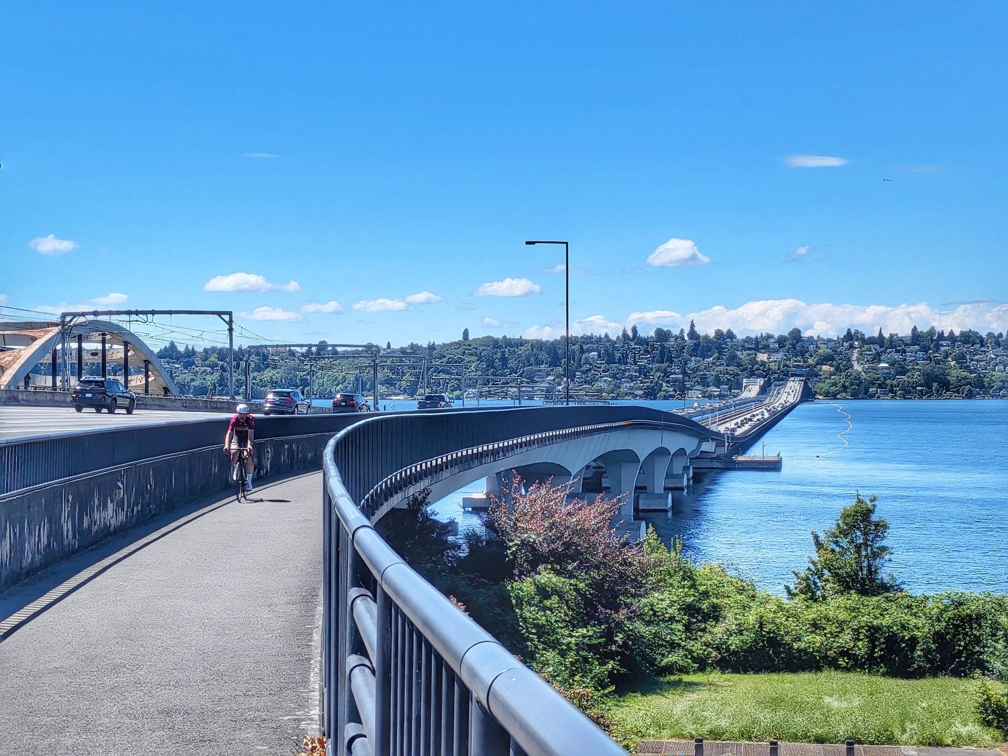
Breakfast and a phone charge at the McDonald's in Issaquah, then the Mountains to Sound Greenway carried him across onto Mercer Island with Lake Washington on both sides. A long floating bridge did the rest.
Seattle is named for a chief who wanted peace with the people arriving on his shore.
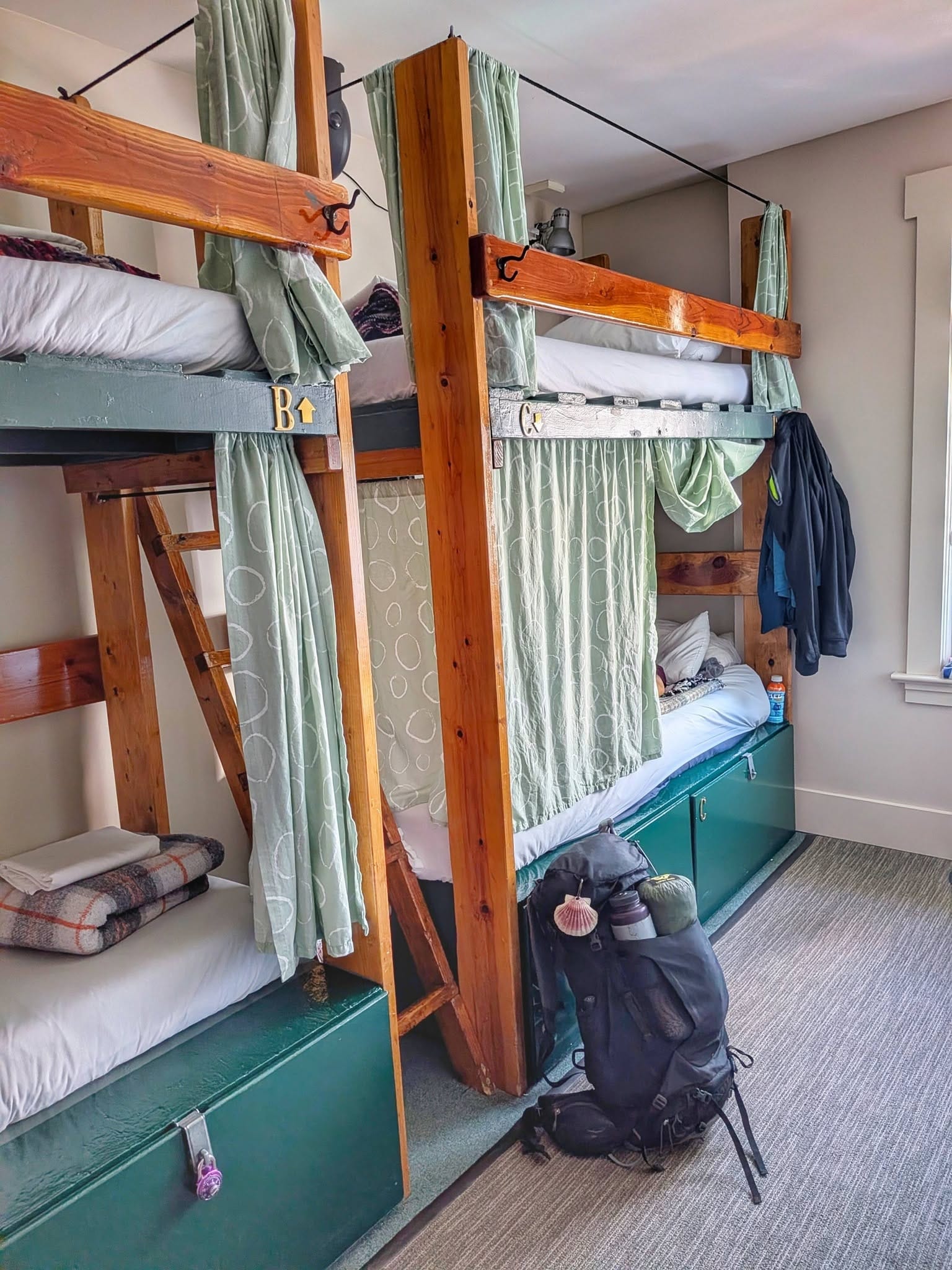
The Green Tortoise Hostel had a bed for him. From there, about two hundred miles remained to La Push and the Pacific. Seven more days of walking.
A Thousand People Before Breakfast
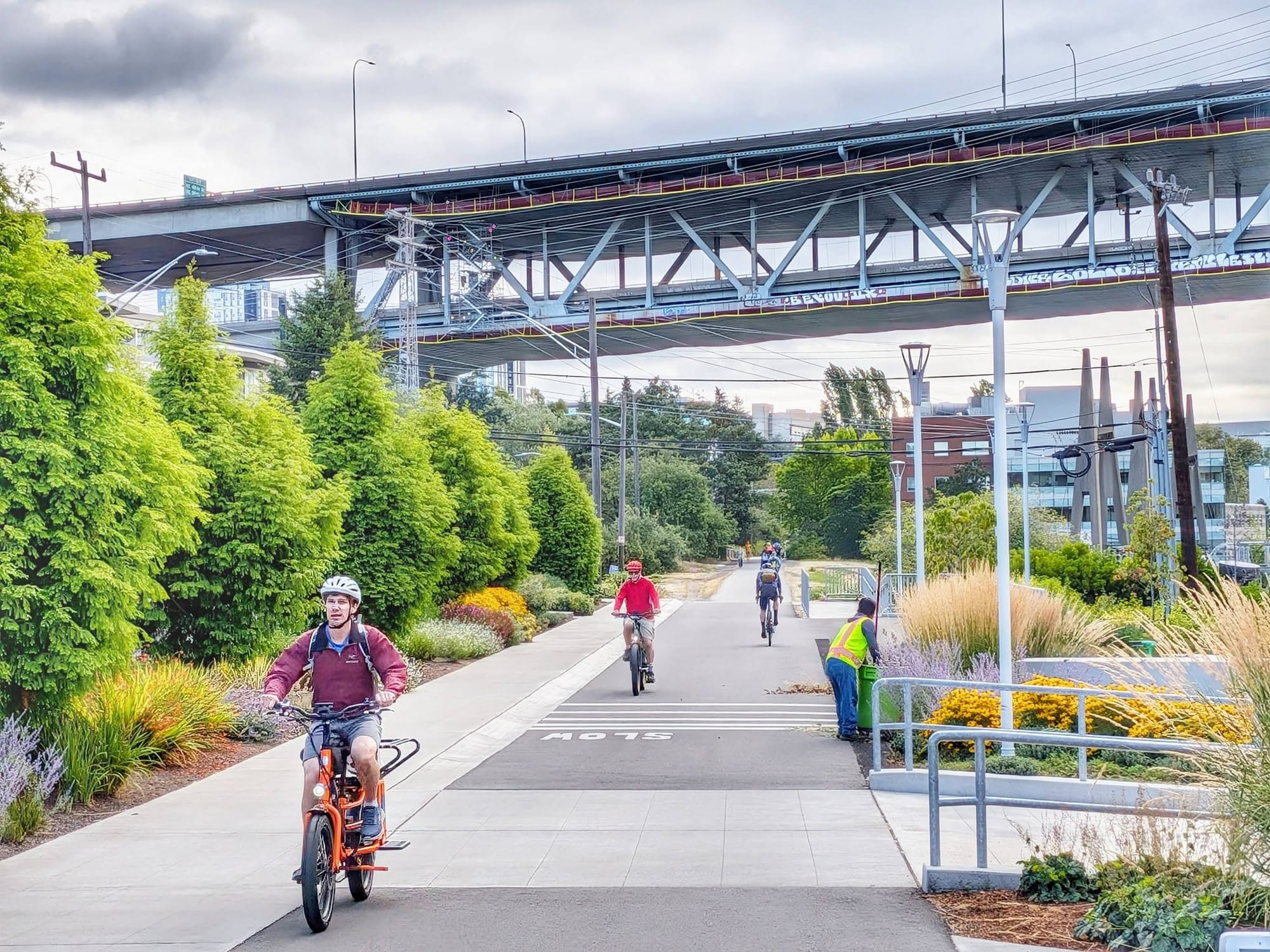
The recreational trail around Lake Union runs like a highway. Between joggers and bike commuters, Bernie estimates he passed a thousand people in a morning. E-bikes were moving north of thirty miles per hour, and he had to stay fully alert to stay out of their way.
It thinned along the Lake Washington shoreline, where an older crowd was out for the morning constitutional. Some of them made eye contact and said hello.
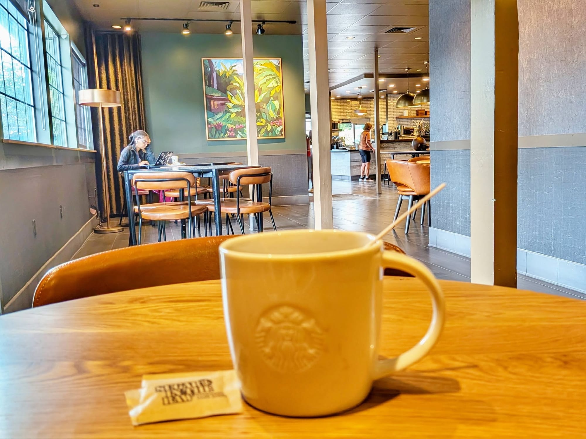
Coffee and a charge at the Starbucks in Lake Forest Park. Then bike routes and back roads north toward the ferry terminal.
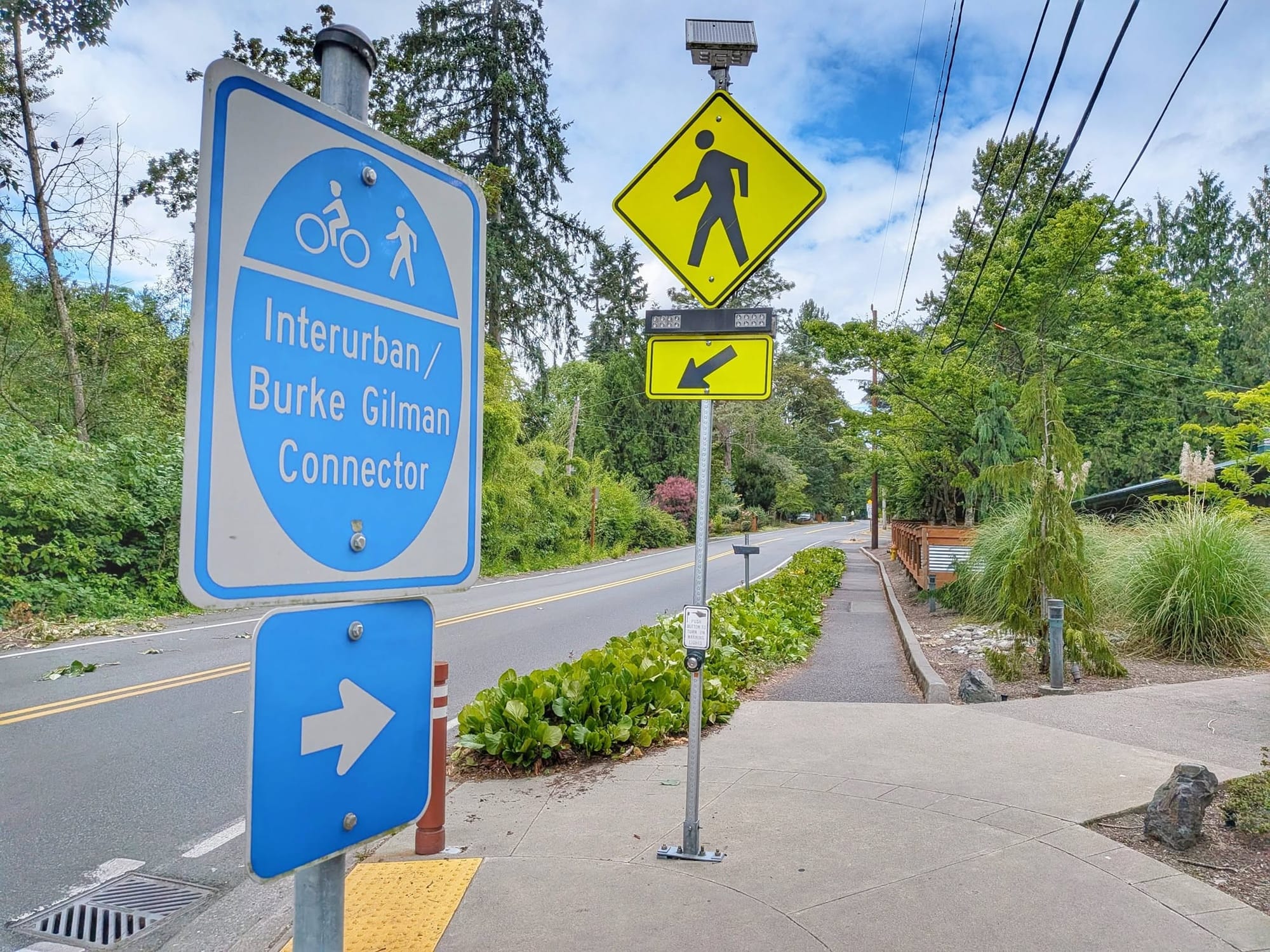
About 98 percent of the route from Lake Forest Park to Mukilteo has sidewalk or recreational trail underfoot, and much of that has a bike lane alongside it. Thirty-one miles.
Stage Six
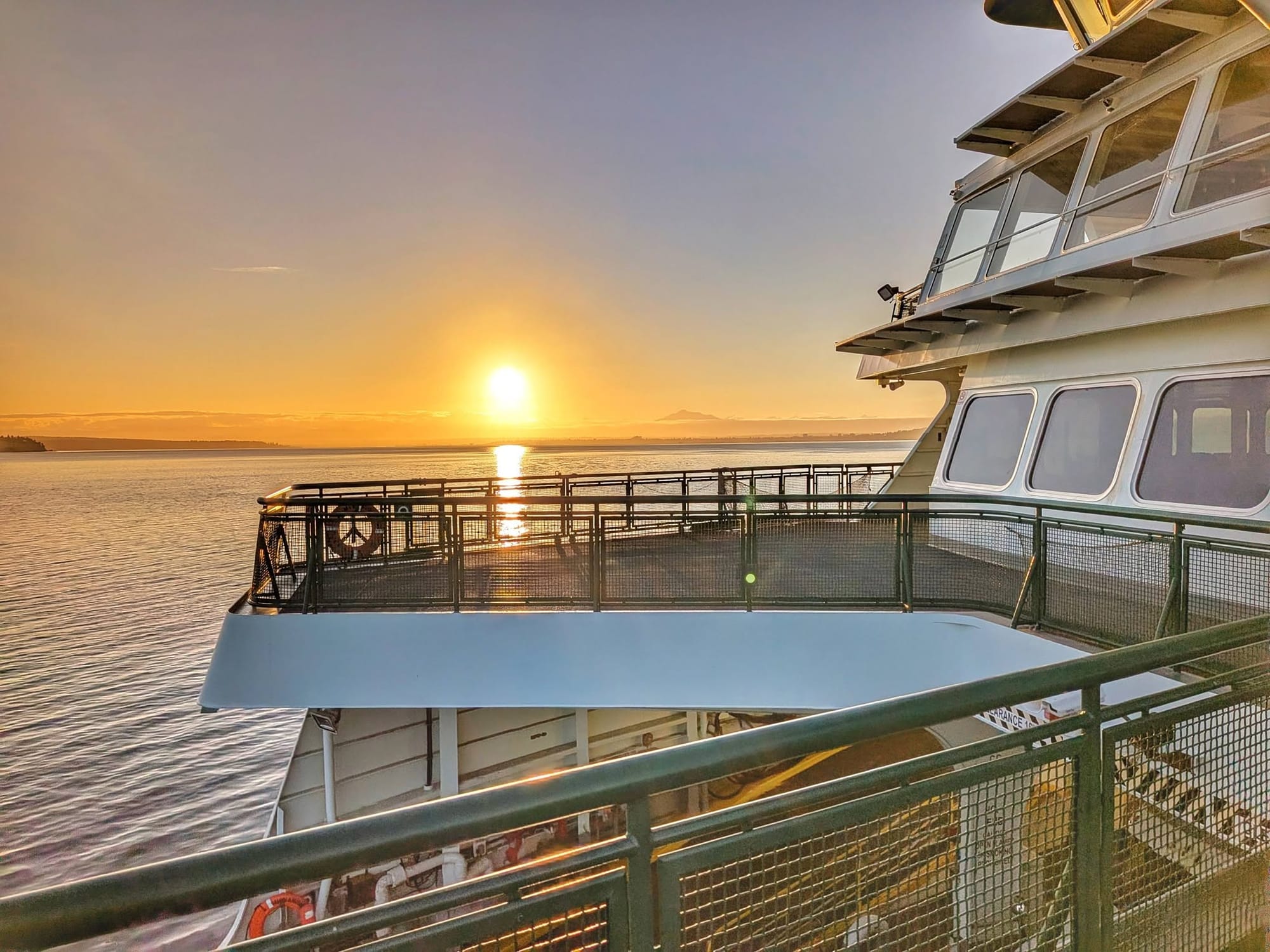
The sunrise ferry to Whidbey Island opened the sixth and final stage. Bernie's long-distance hiking life started on this coastline in 1995, when he came down out of Alaska to work on the Olympic National Park shore.
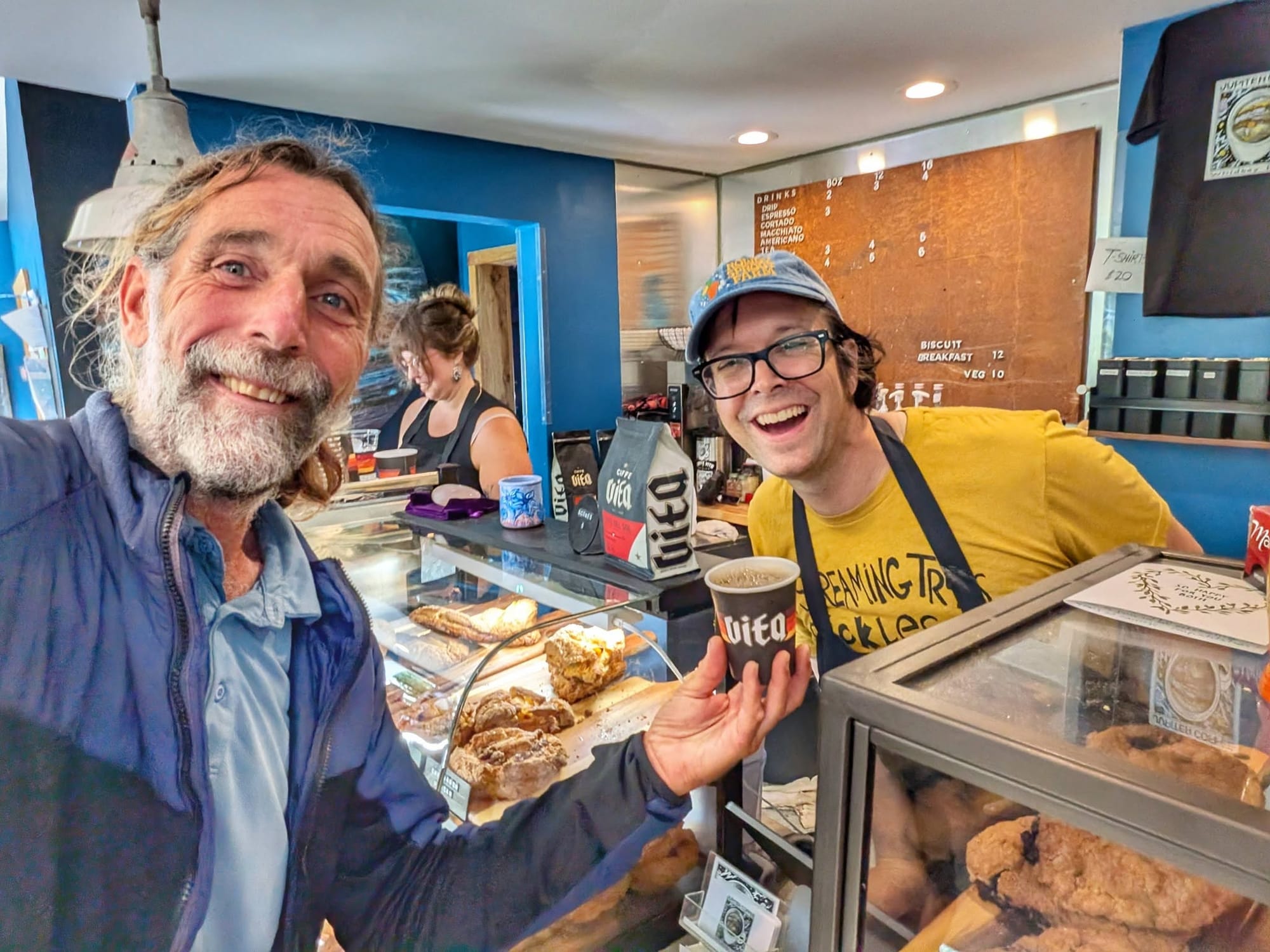
Breakfast at the Jupiter Cafe in Freeland. The Olympic Mountains ahead of him for the first time since he walked the Pacific Northwest Trail in 2004.
From the upper deck of the Coupeville ferry, he watched pigeon guillemots and rhinoceros auklets work the water. A raft of floating bull kelp went by. Mount Baker to the northeast, Mount Rainier to the southeast, Vancouver Island off to the right.
Port Townsend was the major port of entry for Puget Sound before the railroad arrived and moved all of that importance to Seattle.
He had planned to reach the Olympic Peninsula by way of the Bainbridge or Edmonds ferry, both of which feed onto the mile-and-a-half Hood Canal Floating Bridge. The span carries no separated walkway. Bernie routed north over Whidbey Island and took two state ferries instead.
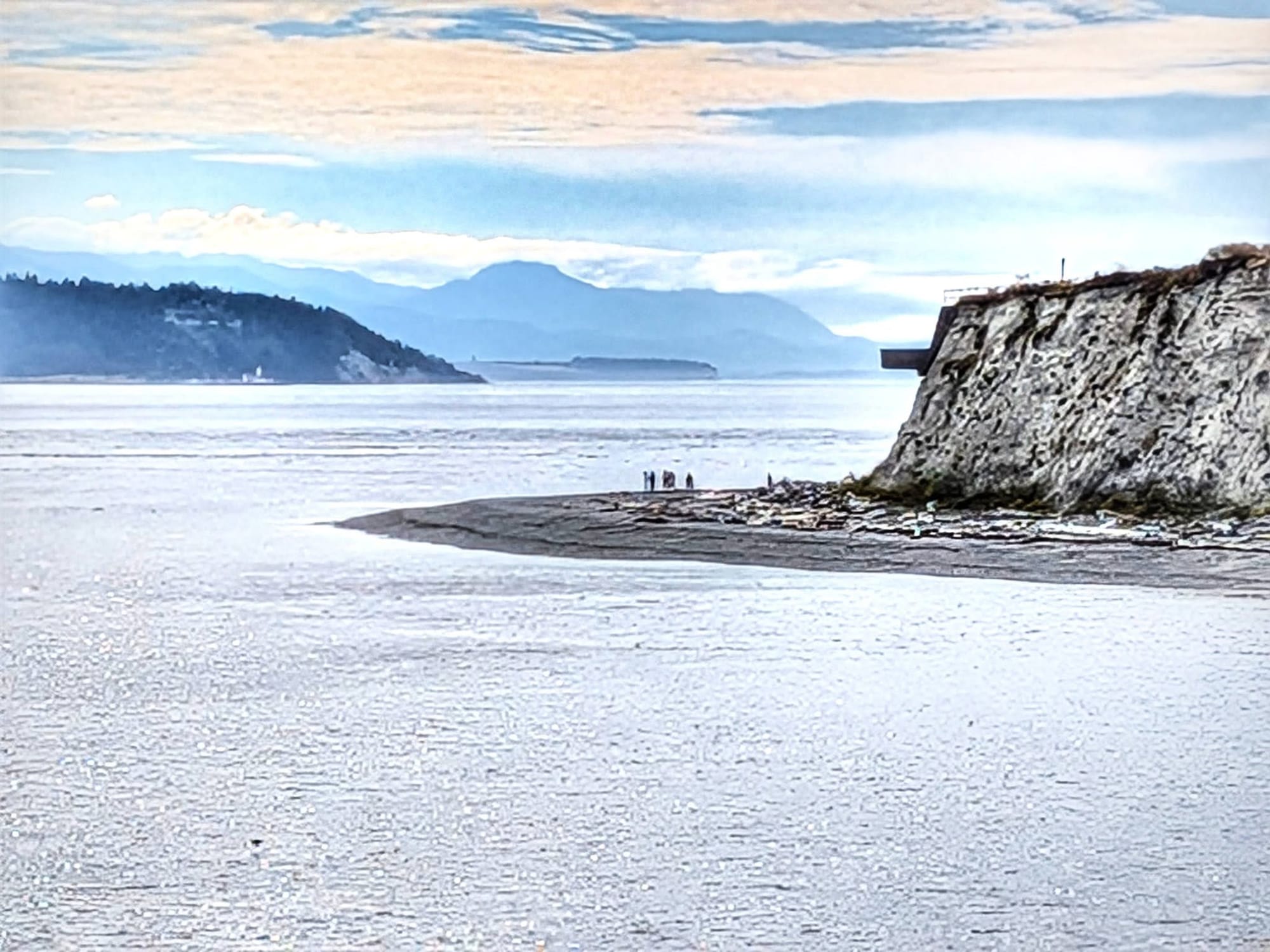
Discovery Bay
A 7:30 a.m. start on the Olympic Discovery Trail, following the old rail line west.
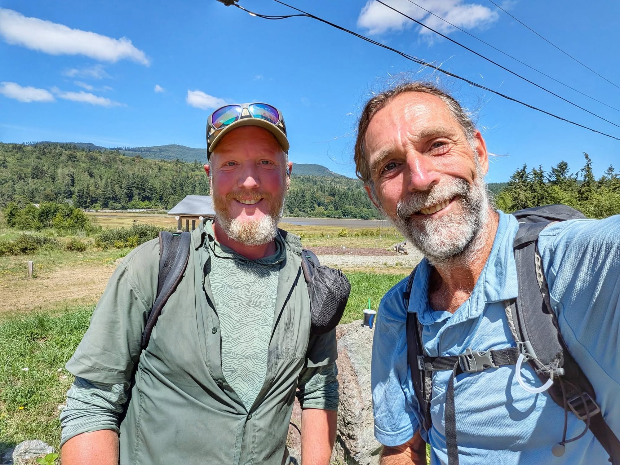
At Discovery Bay a voice behind him asked if he was Bernie. It belonged to a long-distance hiker with the trail name Long Hauler, a Facebook friend Bernie had never met in person, who had just come down out of the mountains on the Pacific Northwest Trail. He started in San Francisco five days before Bernie left Washington, D.C.
This has happened to him repeatedly across the country. People he does not know recognize him on the trail.
Twenty-Four Years
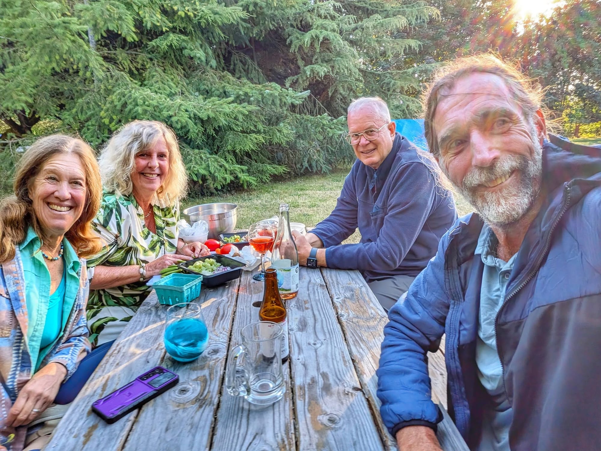
Lynne met him outside Sequim at 6 p.m. to close a thirty-two mile day. They worked together on the Olympic National Park coastline when Bernie first arrived in Washington in 1995.
She drove him to Dungeness, to the house of Shelly, who was Bernie's partner for seven years and whom he had not seen or spoken to in twenty-four.
He describes what followed as a class reunion.
Twenty-One Miles to Port Angeles
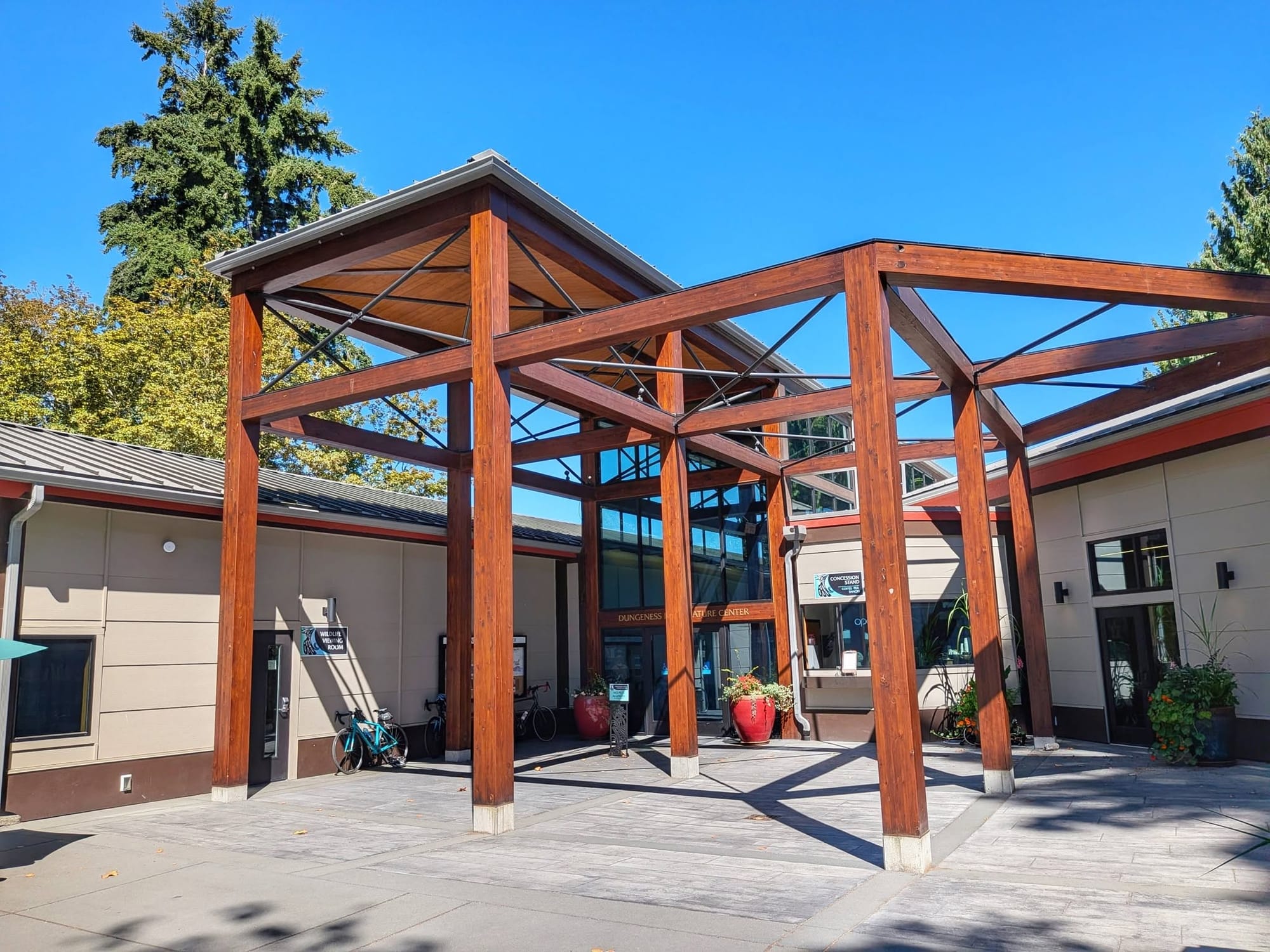
A 1:30 p.m. start and a short day. The Dungeness River Nature Center sits on the route, and this stretch of the Olympic Peninsula is where Bernie learned the skills he took out into the world thirty years ago.
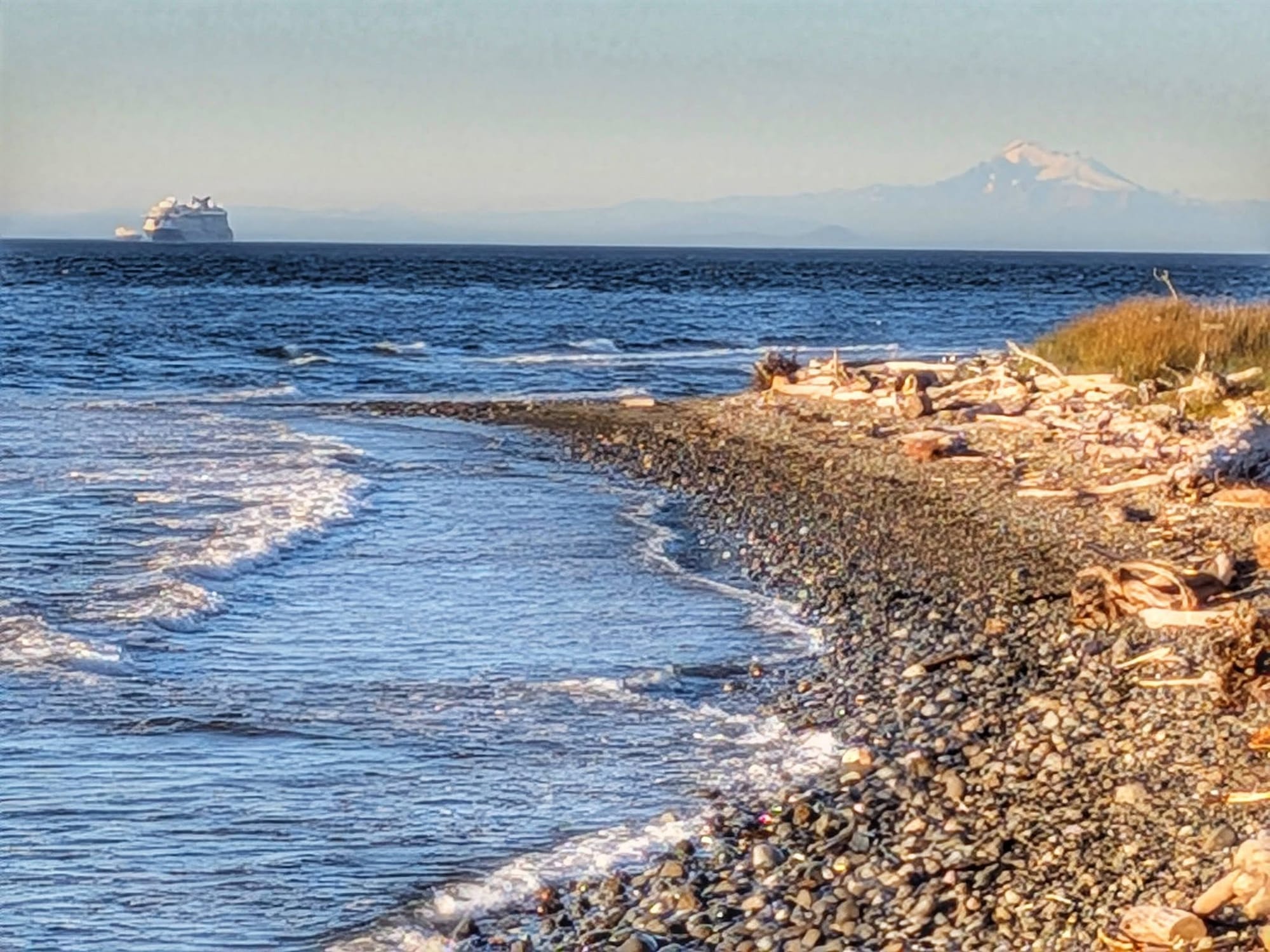
La Push is what's left. The Pacific is what's left.
Trail Intel From This Stretch
Snoqualmie Tunnel. 2.3 miles, unlit, roughly twenty degrees colder inside. Bring a headlamp with working batteries and a layer. Closed November 1 through May 1 in most years due to falling ice.
Closure signage west of Hyak. Posted avalanche-closure information did not match trail conditions and did not match the detour signage. Riders coming the other way were the reliable source. Expect to verify with people on the ground rather than with signs.
Hyak. Public restroom, showers, and a place to charge a phone.
Trail transitions. Palouse to Cascades State Park Trail ends at Rattlesnake Lake. Snoqualmie Valley Trail begins there and runs to North Bend.
Lake Forest Park to Mukilteo. Close to fully walkable on a sidewalk or a separated trail, often with a bike lane alongside.
Lake Union corridor. Heavy multi-use traffic with e-bikes running above thirty miles per hour. Not a section to walk distracted.
Hood Canal Floating Bridge. A mile and a half of floating span with no separated walkway. Bernie routed over Whidbey Island and took two state ferries into Port Townsend instead.
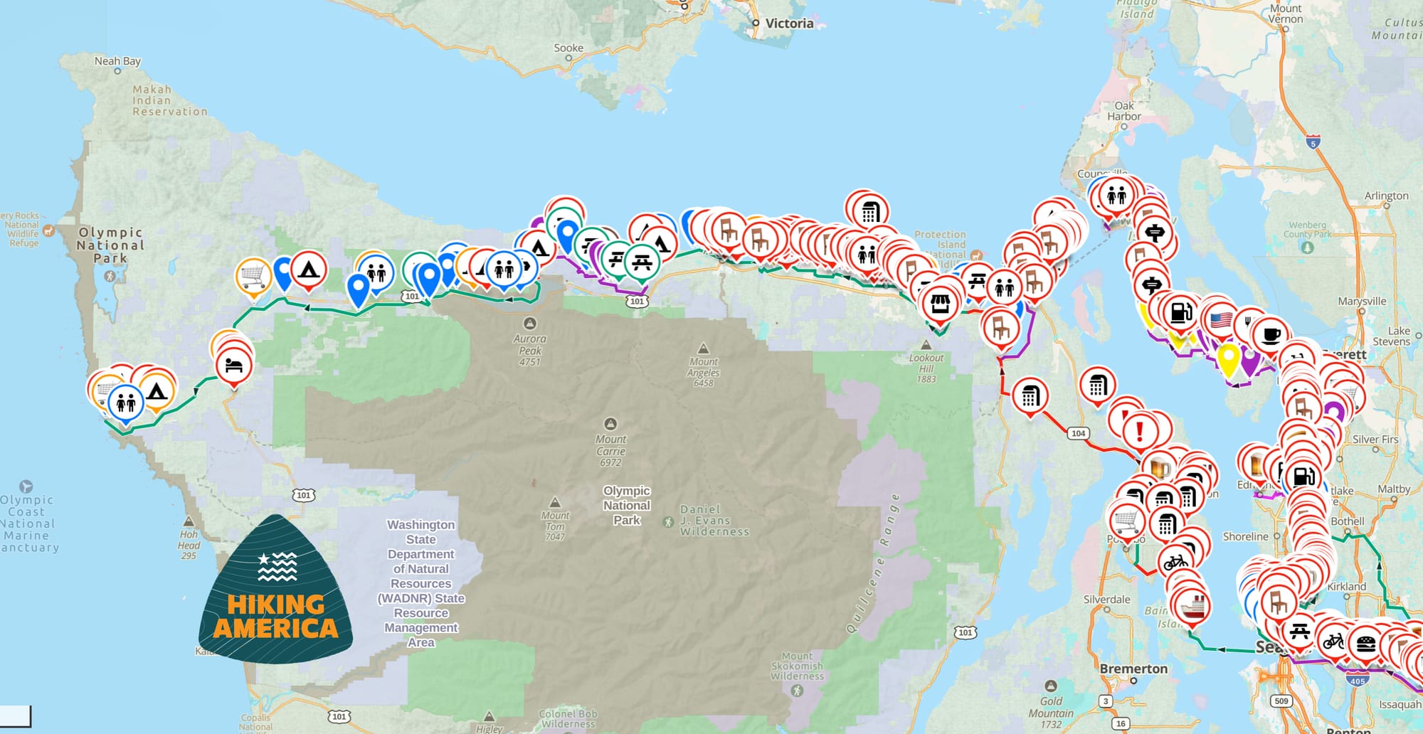
Bernie has been logging and verifying services waypoints from the corridor in real time since March, which is the same data feeding the Great American Rail-Trail guides here at Hiking America.
The GPX tracks for the Great American are free. Grab them and follow the route he is finishing right now.
Our Guides and Gaia GPS services waypoints live behind a Hiking America membership.
Hike Your Hike - John. 🥾