
River Road: One of the Best Prairie Walks on the ADT
On the American Discovery Trail in Kansas, Rhiis and Sara found mountain lion tracks, wild prairie, and farmers who shared cold beer in the road.

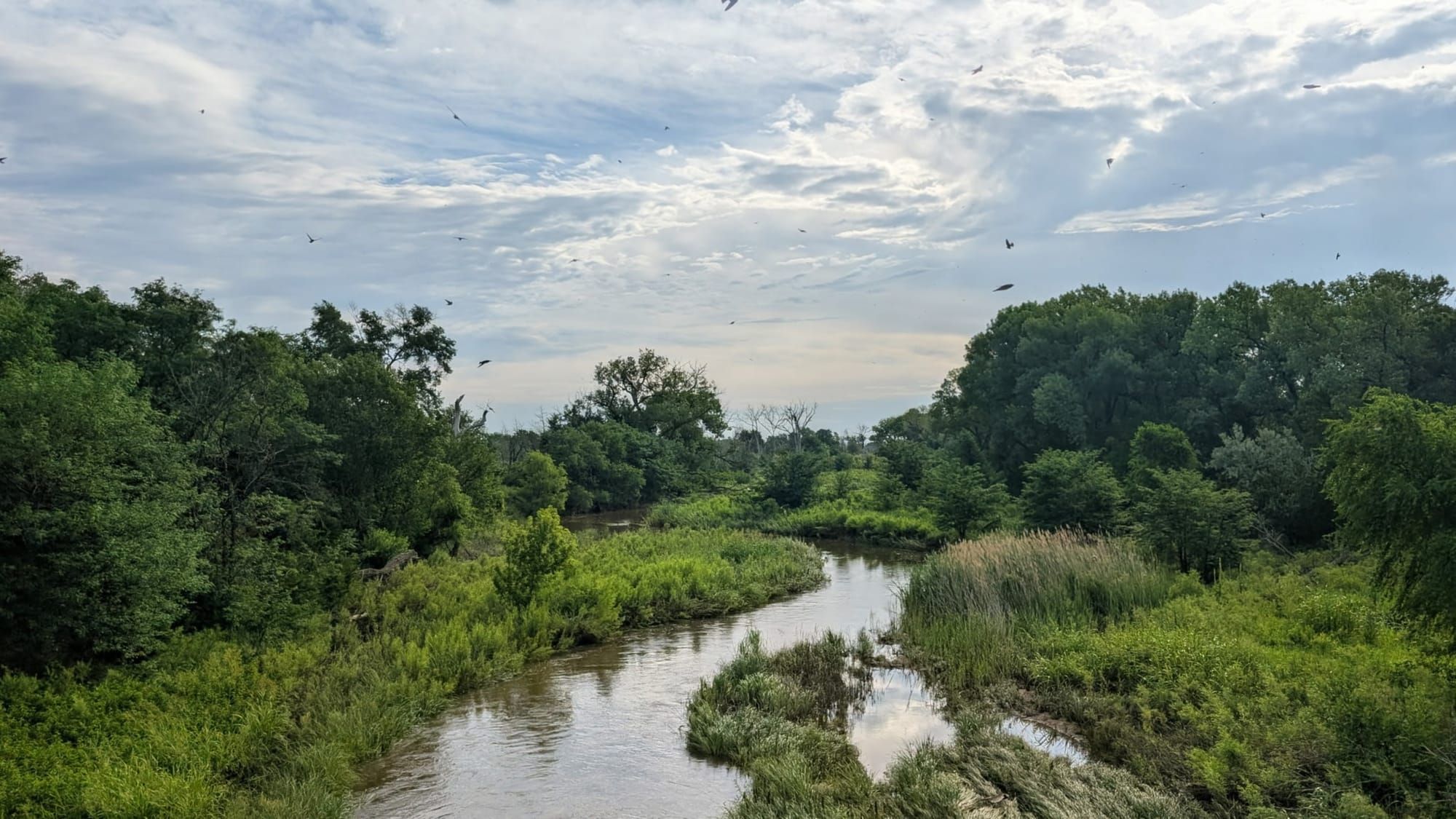
Mountain lion tracks and an empty road
63 miles of back roads separate Kinsley from Great Bend, on the American Discovery Trail, and Rhiis and Sara walked most of it without meeting another soul. On the River Road stretch, the only fresh prints in the dust belonged to mountain lions, deer, and the occasional snake's track drawn across the path. "One of the best prairie walk sections outside of Flint Hills," Rhiis said. "Gorgeous."
Most of the land here has been left to grow wild: tall bluestem, switchgrass, wildflowers running to the fence lines. The shade reminded them of the rail-trails back east. Fences and no-trespassing signs are the only reminder that this is the 21st century. Without them, it's the Kansas that existed before the wagons.
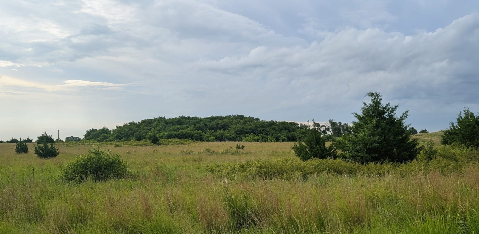
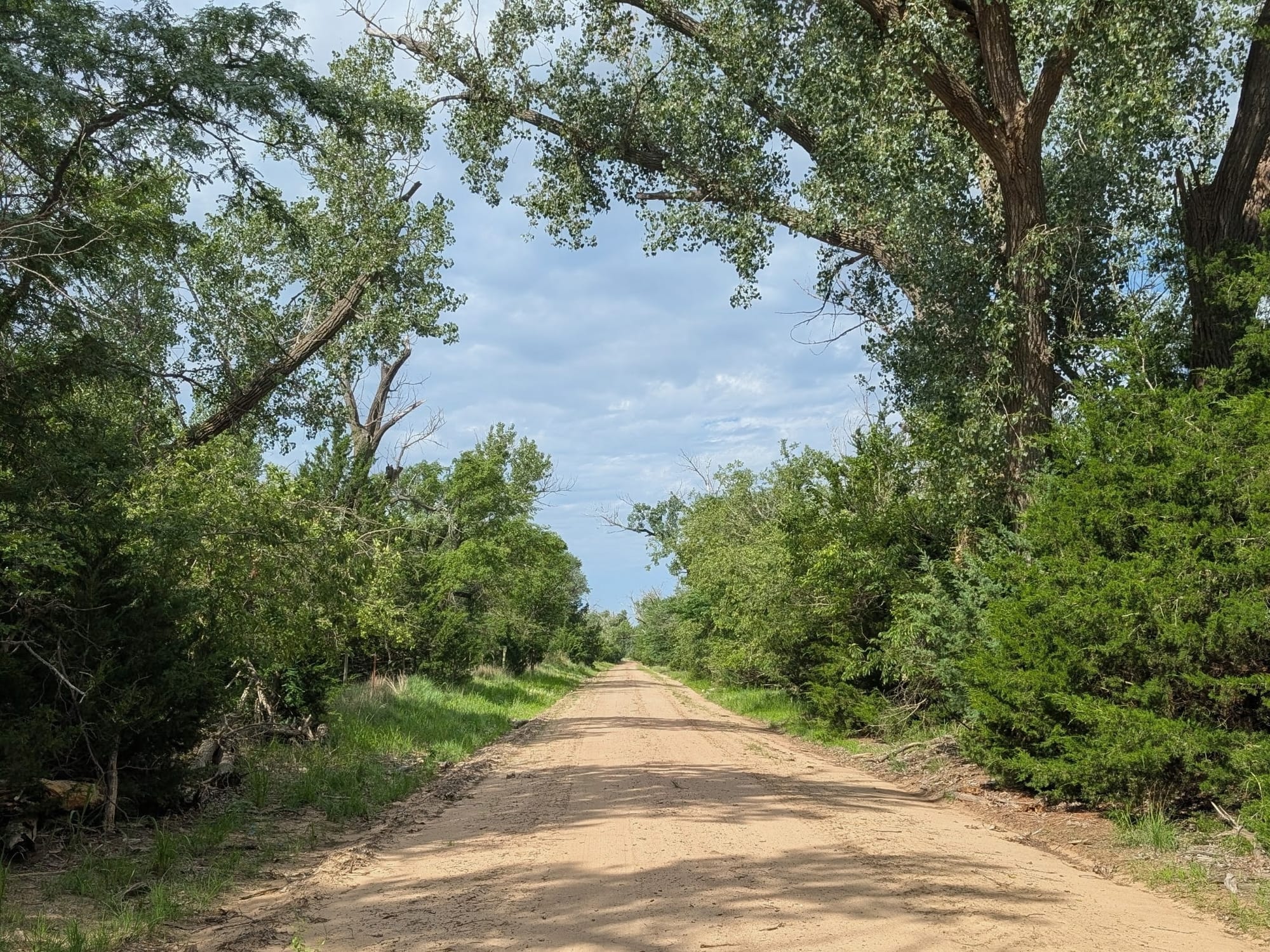
River Road: One of the Best Prairie Walks on the ADT - Photos: Rhiis Lopez
History underfoot
The wagons came through here, and the trail follows their ruts. This is the old Santa Fe Trail corridor, and it wears its past in the open: wheel ruts still pressed into the grass near Larned, a marker at Coon Creek where US troops and Plains Indians fought in 1848, the sandstone hump of Pawnee Rock that nearly every traveler used to fix their position. Fort Larned National Historic Site stands just off the route, its stone barracks kept down to the blacksmith's forge. The soldiers posted there were known as the Guardians of the Santa Fe Trail.
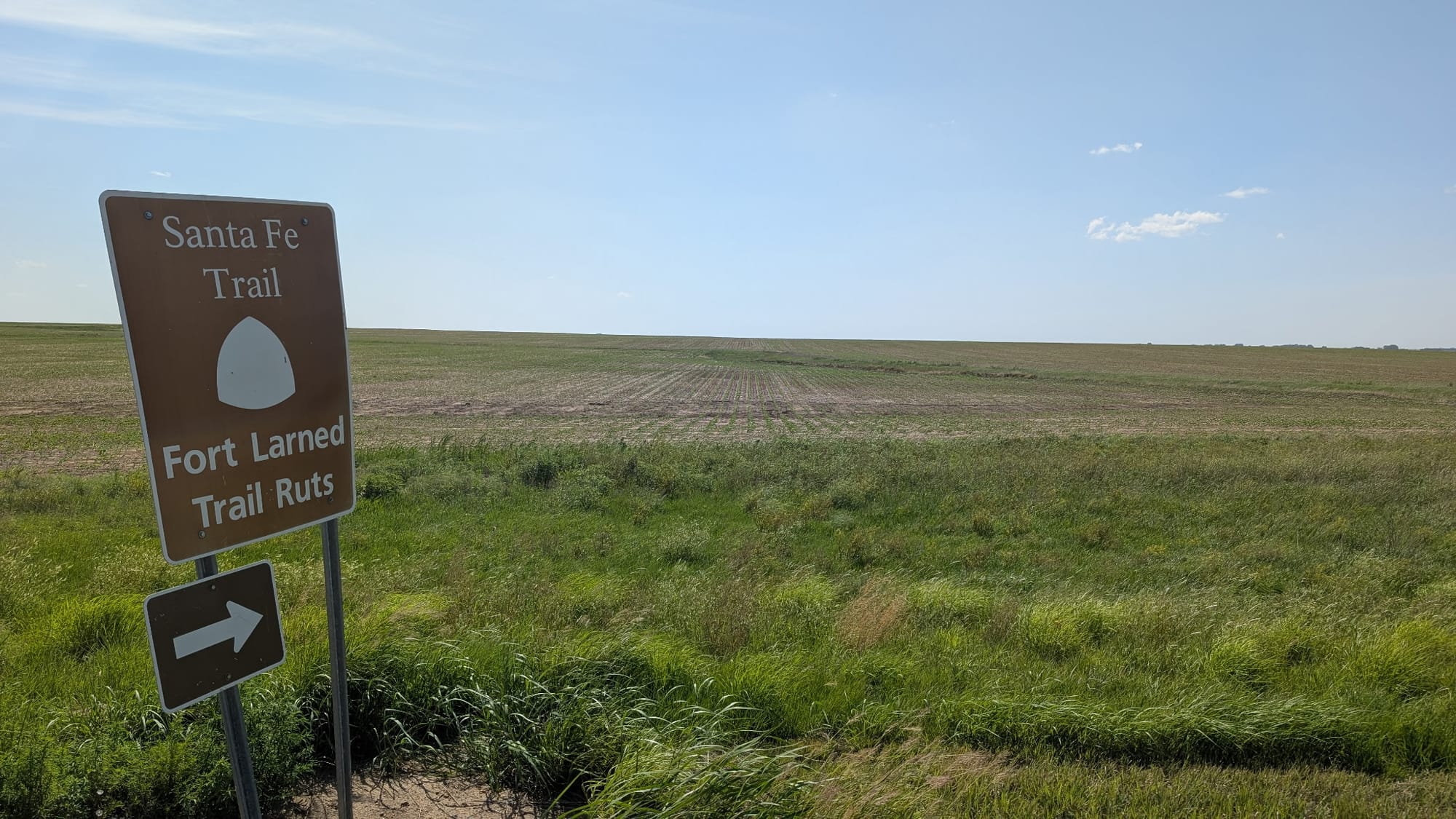
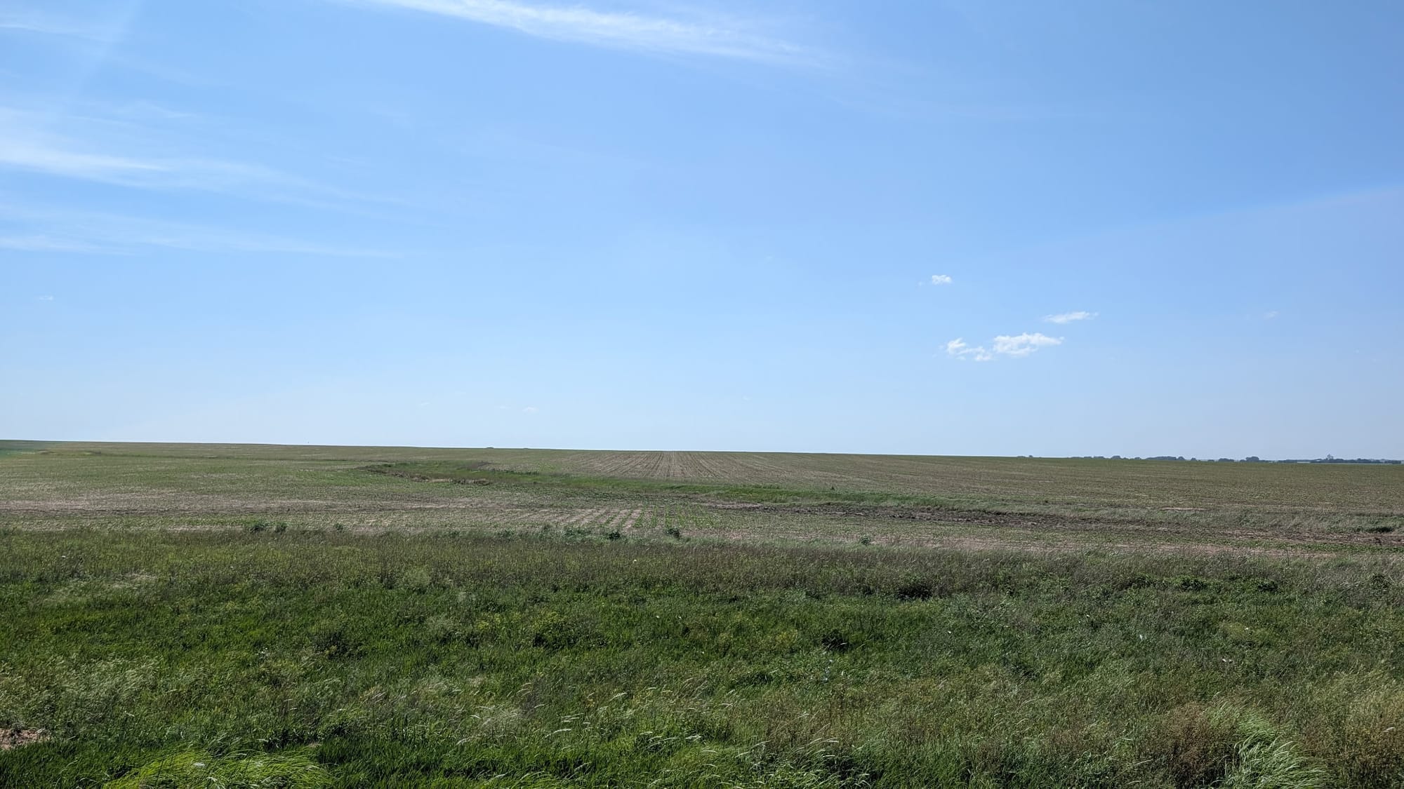
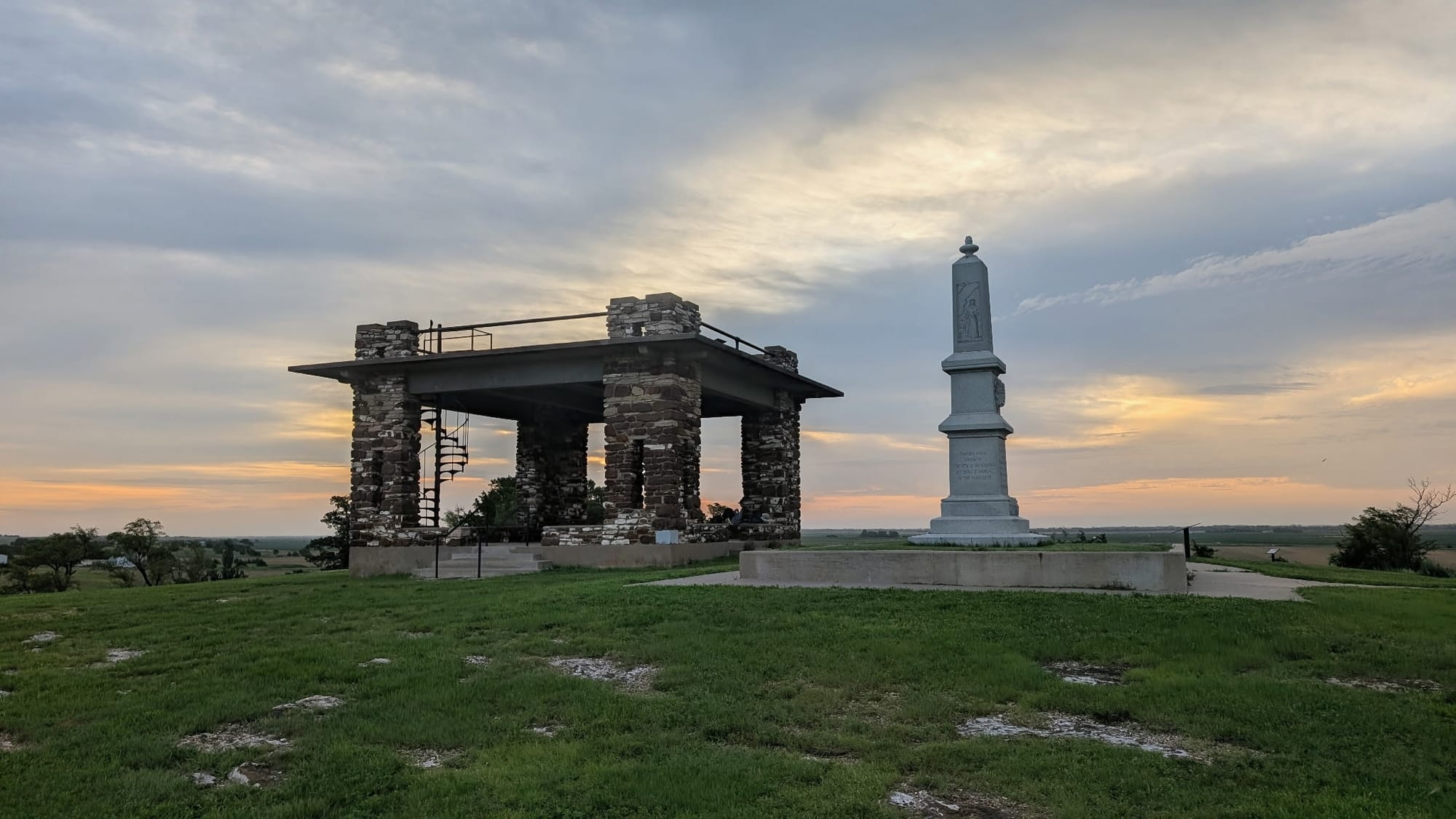
Santa Fe Trail corridor, wheel ruts still pressed into the grass. And Pawnee Rock at Sunrise. - Photo: Rhiis Lopez
Kinsley calls itself Midway USA, and the sign in the town park does the math: 1,561 miles east to New York, 1,561 west to San Francisco. In Great Bend, they meet the Arkansas River and will generally follow it for 472 miles to Cañon City, Colorado.
Beer in the road
Outside Garfield, Rhiis called the co-op ahead of time because they'd arrive after closing. Paul said he'd leave water bottles out, then called back to add Gatorades and a hose rigged to the spigot. Farther along, two farmers wandered out to the road, and the four of them stood there close to an hour, three beers deep, talking about everything and nothing. Rhiis walked out of the section wearing a co-op cap from Garfield.
"Kansas, Nebraska and Iowa are easily some of the best days of our lives," he said.
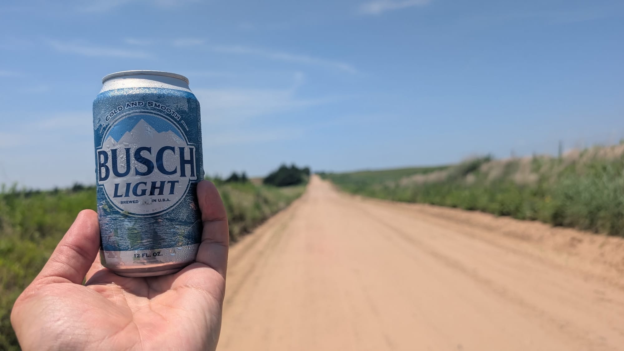
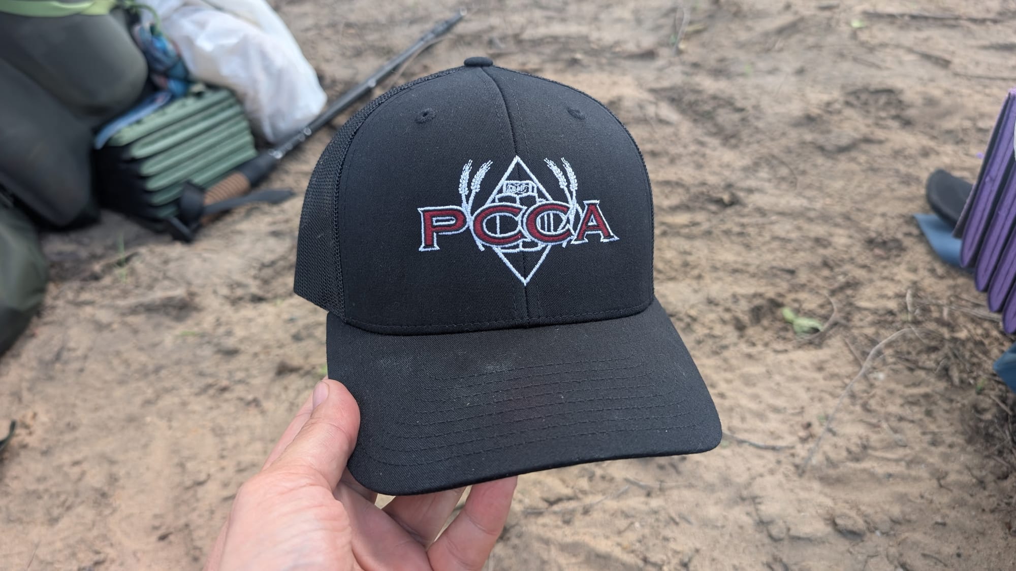
Trail Angel beer and a hat from the Co-Op along a lonely road in Central Kansas - Photos: Rhiis Lopez
The guide
Rhiis and Sara field-verified Kansas Segment 4 in early July, and the updated guide is live for members: turn-by-turn waypoints, water, town services, camping, and both directions, in the Hiking America's Gaia GPS folder.
Hike Your Hike - John.
