
Winter Ambushes the Great American Rail-Trail at West Yellowstone
Week 14 on the Great American Rail-Trail: an out-of-season winter storm forces Bernie Krausse's fifth zero at West Yellowstone, then a snow-driven reroute to the first real day of summer in the Tobacco Roots.

Week 14 of Bernie Krausse's Great American Rail-Trail thru-hike — believed to be the first on foot. Days 92–99: West Yellowstone to the Tobacco Root Mountains, Montana.
All photos by Bernie Krausse
Bernie Krausse
Great American Rail-Trail - Westbound
Started: March 28, 2026
Support Links: ImHikingAmerica, Facebook, Venmo, PayPal Donate
Out of Idaho's Potato Country
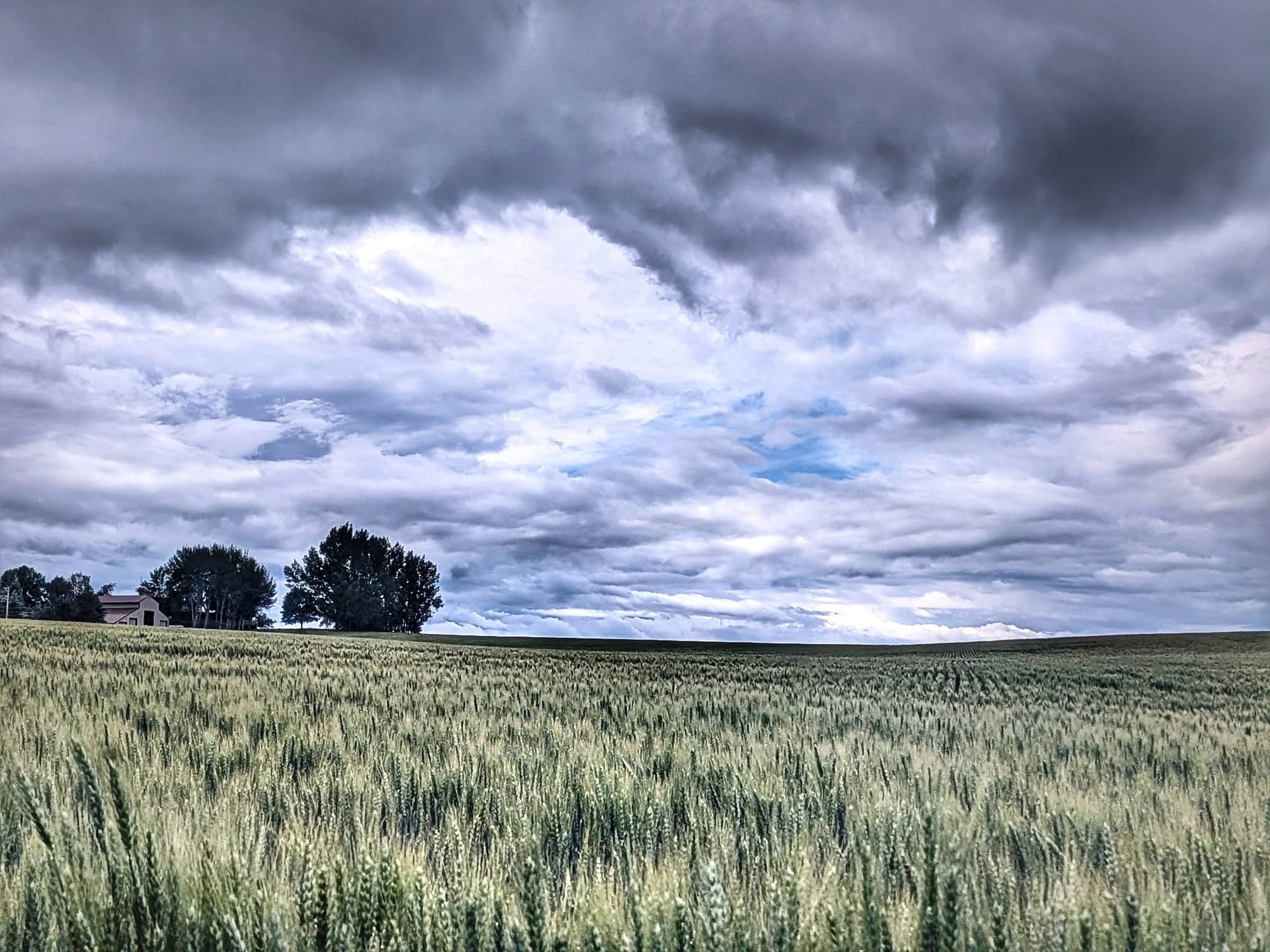
Rain was already ticking on the tent when Bernie Krausse woke at the Eagle Lodge and RV Park on June 27. The owners waved him in for a Breakfast of Champions, and he walked out into Idaho's potato country on an old rail grade, full and only lightly damp.
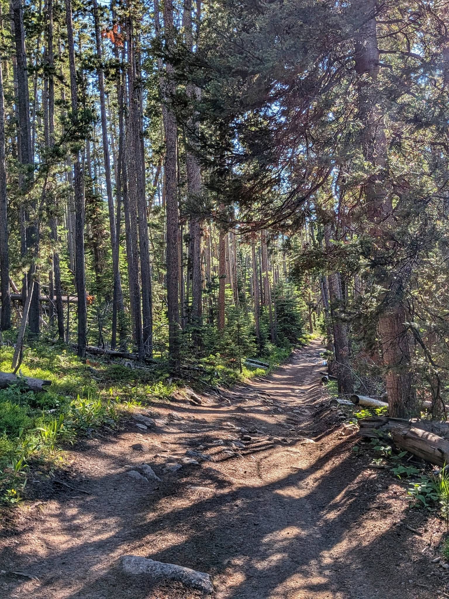
At Warm River Campground the route became the Warm River Rail-Trail, the line that once ran toward West Yellowstone and the gateway to the country's first national park. Bernie climbed gently out of a canyon past his first Douglas firs of the trip — a yellow-bellied marmot denning in an old basalt lava flow, a beaver lodge at a river crossing, a collapsed tunnel the trail now detours around. On a pond crowded with blooming lily pads, a pair of trumpeter swans steered two chicks through the yellow. He counted eighteen cyclists riding the Great Divide route from Canada to Mexico and closed out thirty-two miles as a thunderstorm broke over him.
A Cold Front and a Cabin in West Yellowstone
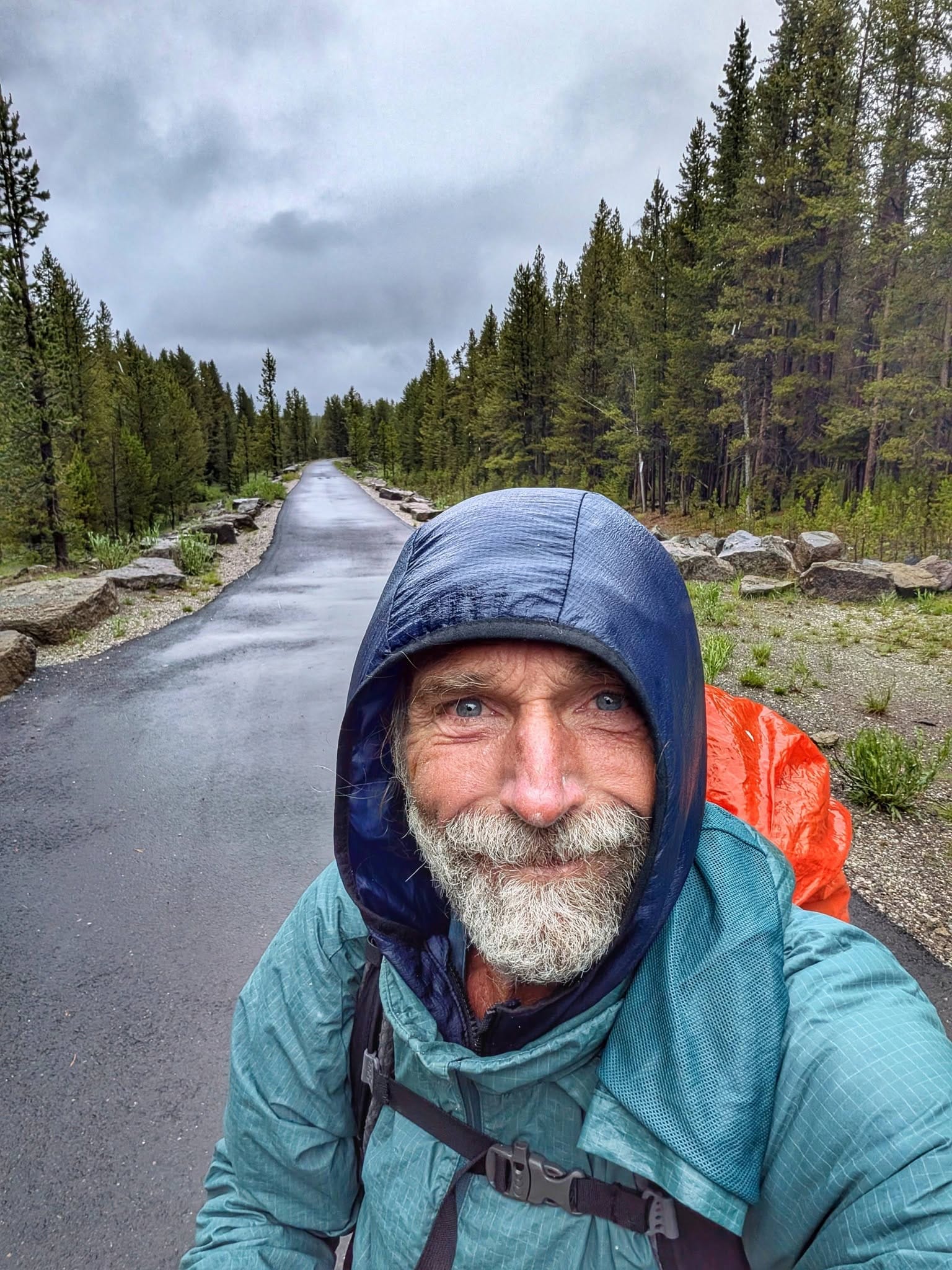
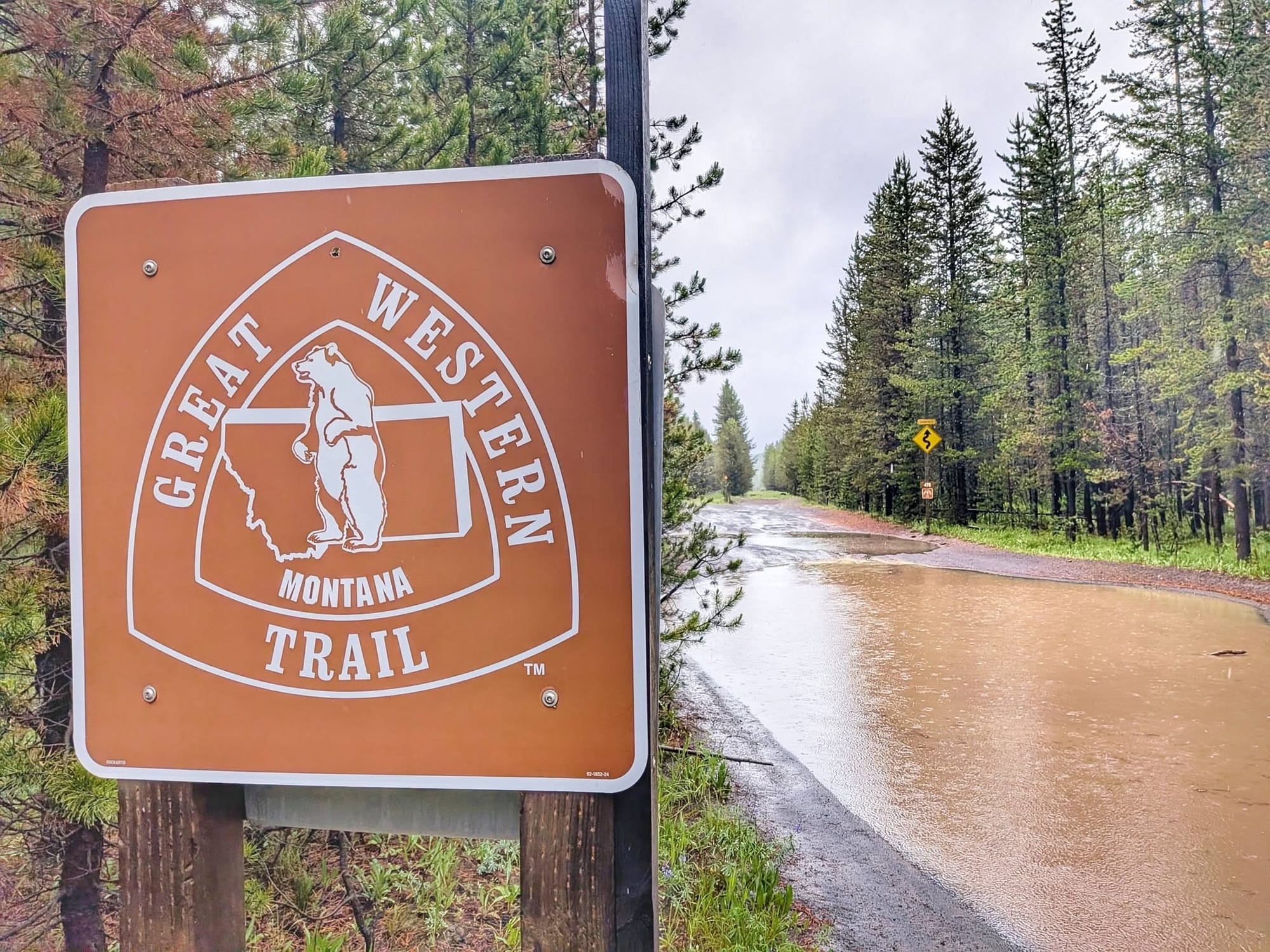
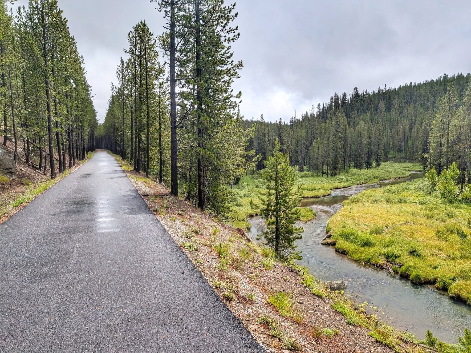
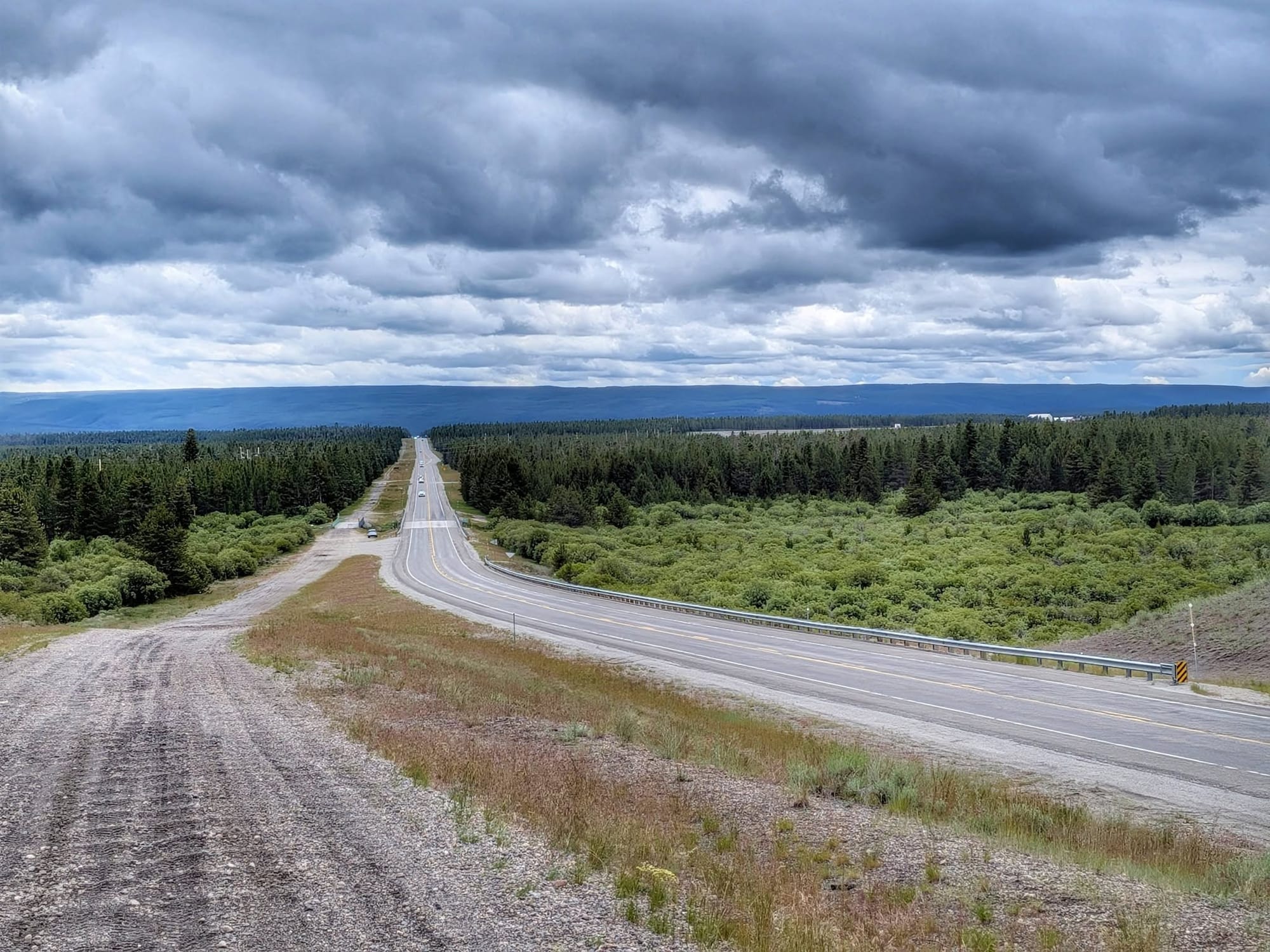
The rain that chased him into the tent had come from the southwest. By morning it was pushing down from the north, cold enough to feel like a rehearsal for winter. It rained lightly all day. Bernie wore every layer he carried and drank a single liter of water across fifty miles and two days — there was nothing to sweat out in that chill. At the Montana line the old railbed turned to fresh pavement and became the Yellowstone Shortline Trail, nine miles grading down off the Continental Divide into West Yellowstone. He reached town by 3:30, meaning to charge his phone and push on.
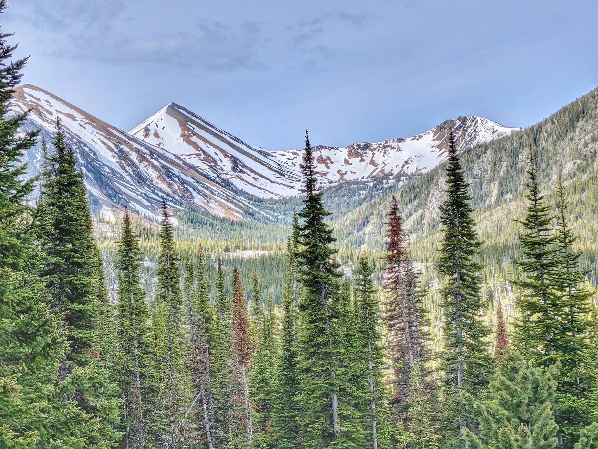
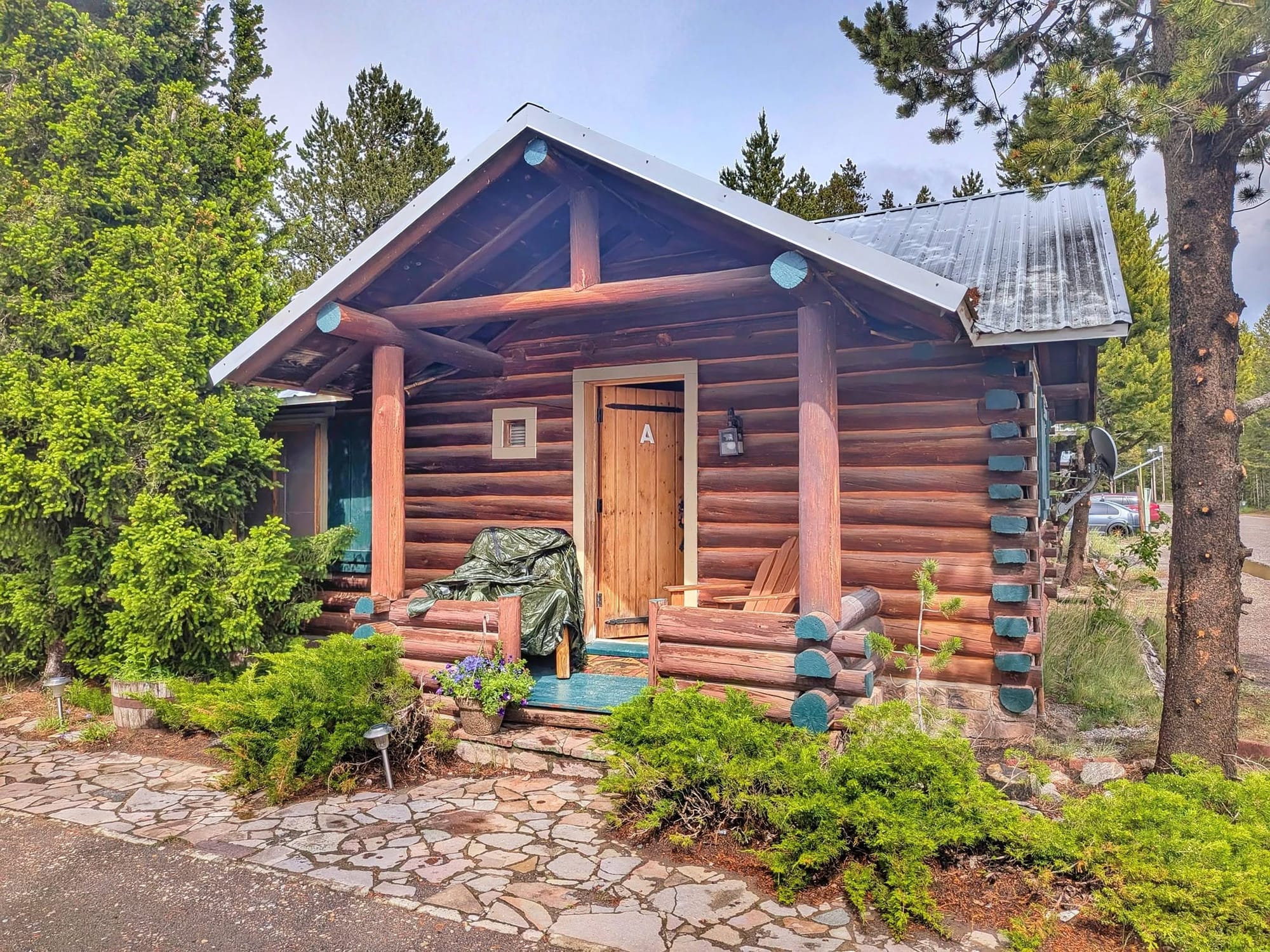
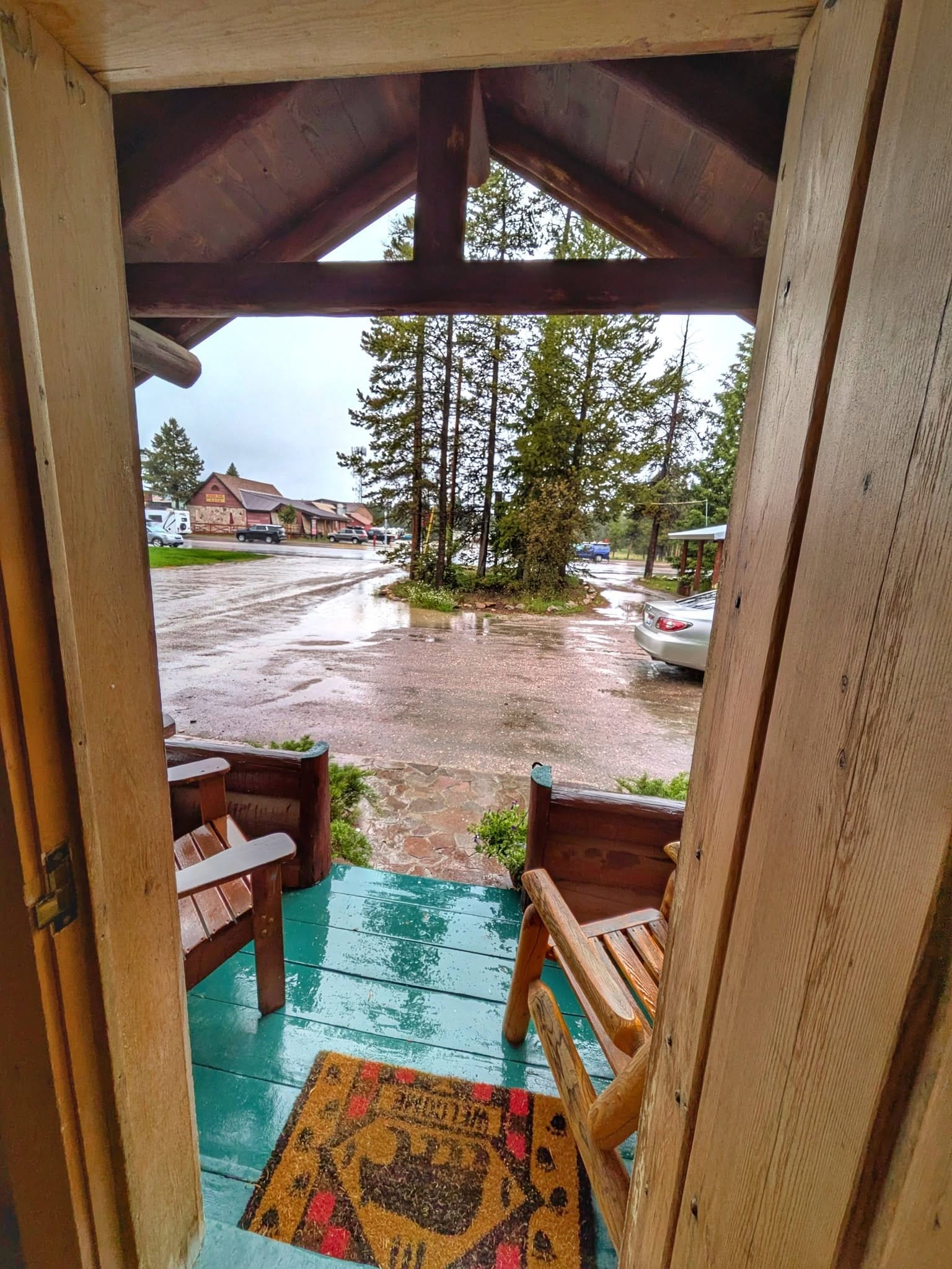
Fresh snow was already stacking on the peaks north of town, with more in the forecast. He took a cabin at the edge of town and let his gear explode across the room to dry.
A Fifth Zero, and a Snowed-Out High Line
The storm sat over West Yellowstone, and Bernie spent his fifth zero since leaving Washington, D.C. on March 28 waiting it out.
Two routes lead toward his next resupply near Ennis. The high line climbs the Skyline Trail to Monument Mountain — 10,069 feet, across the Madison Range, deep in grizzly country — and it had just taken more than a foot of wet snow. Bernie had walked it years back, on a trip he called the Open Sky Trail. This time he chose the low road, the Trans-American Bike Route, along the shores of Hebgen and Earthquake Lakes.
Through Earthquake Country
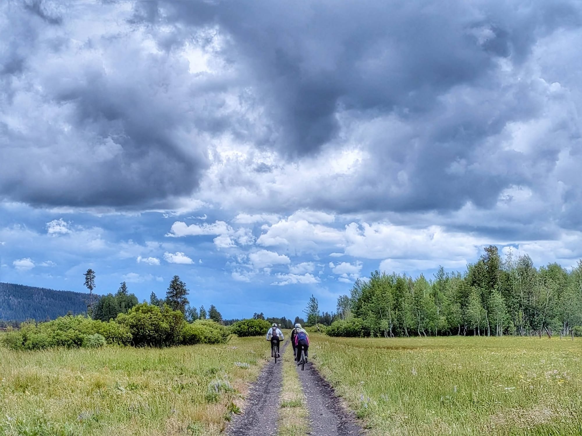
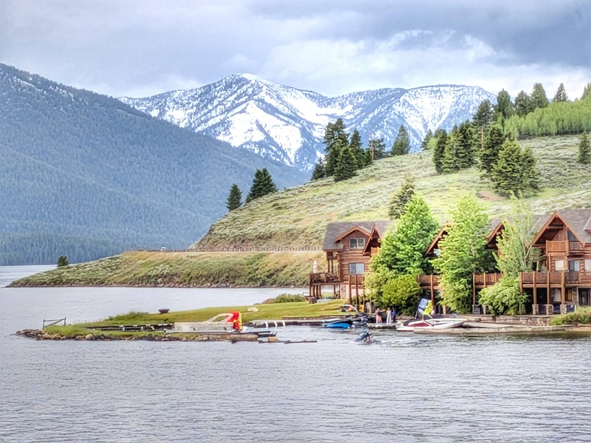
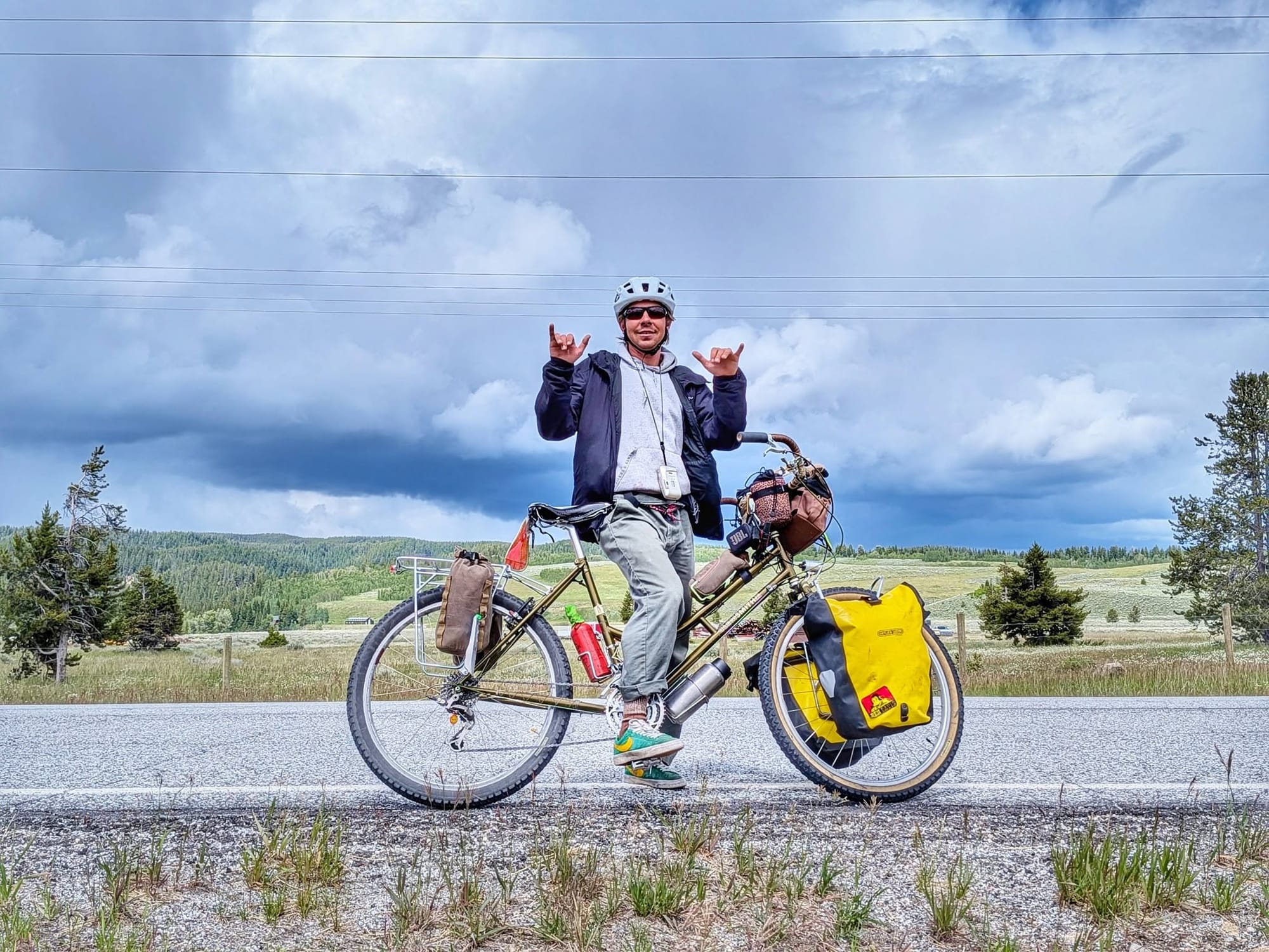
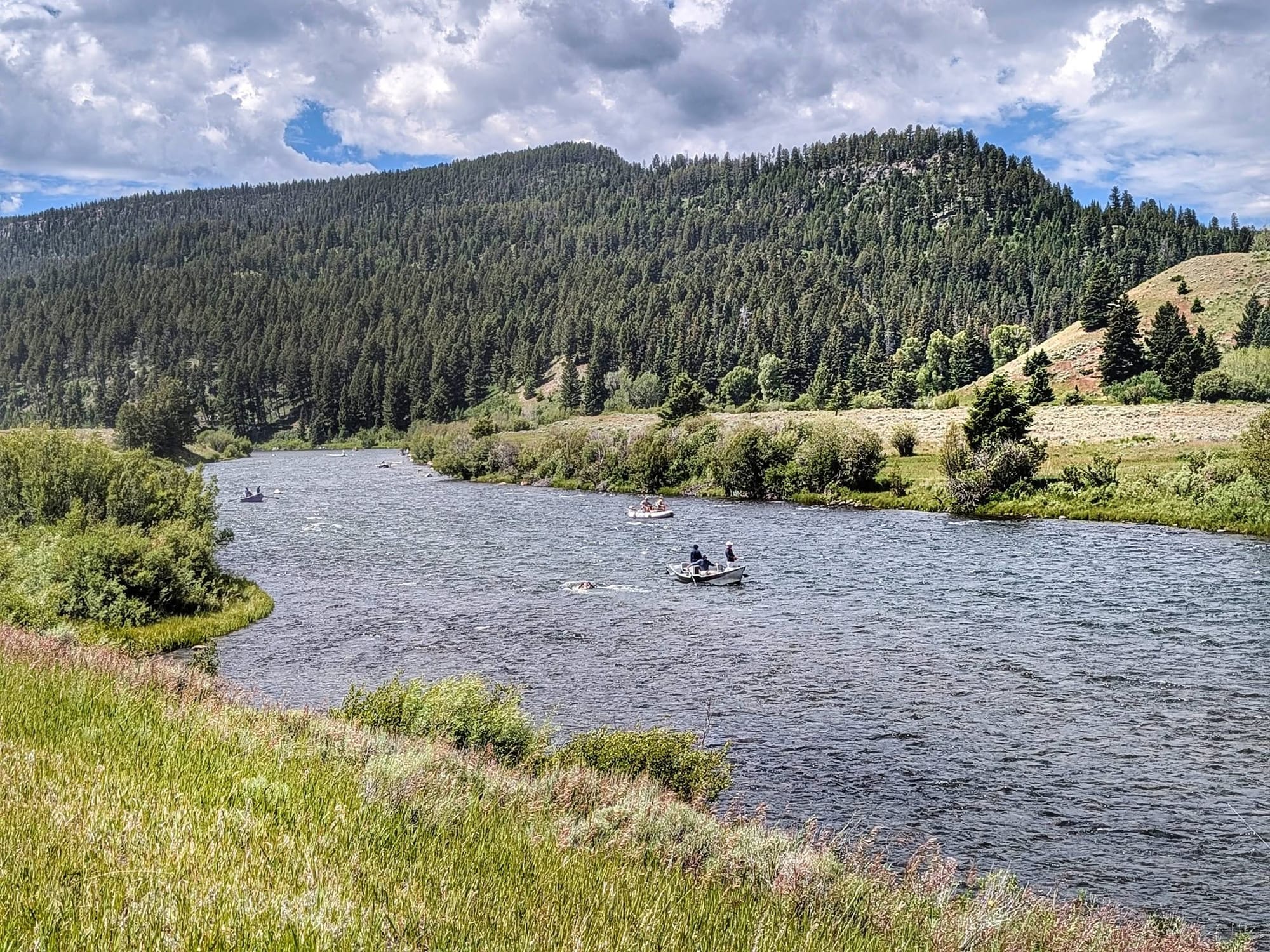
The low road follows the Intermountain Seismic Belt. In 1959 a magnitude 7.5 quake tore along this fault and dropped a mountainside into the Madison River. Within three weeks the slide had dammed the canyon into a lake. The water sits close enough to the Yellowstone Caldera that the ground feels unsettled underfoot. Bernie topped off at a store on Hebgen Lake, met a cyclist named Nick pacing forty miles a day toward the coast, and turned in twenty-six miles.
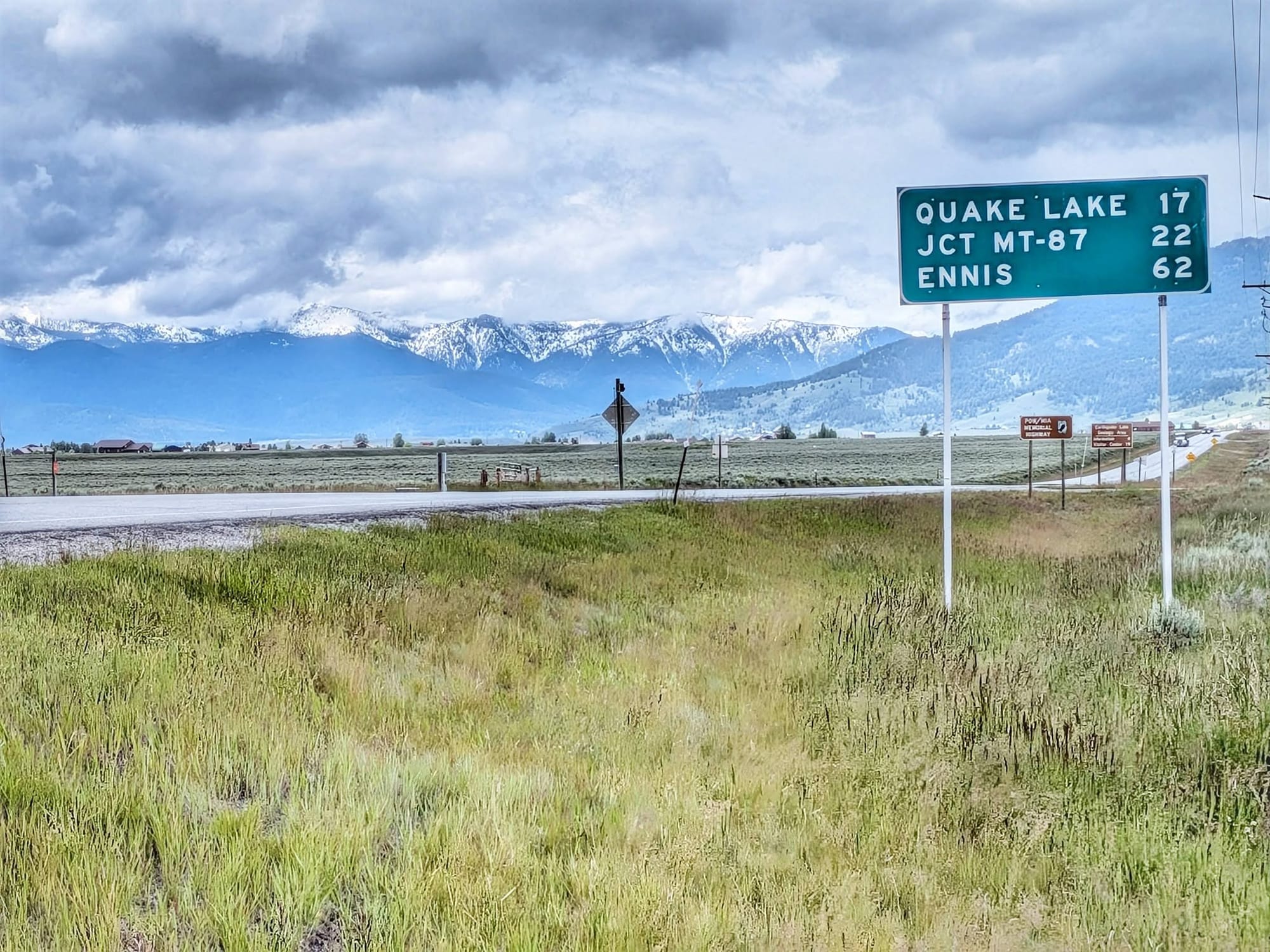
Forty-Four Miles to Ennis
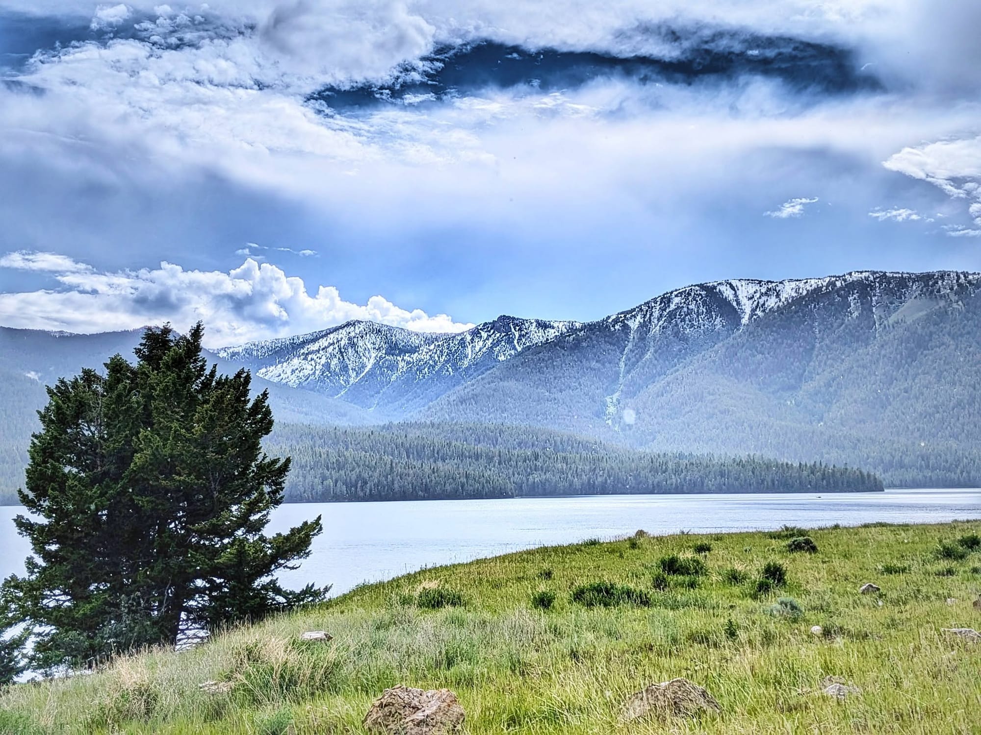
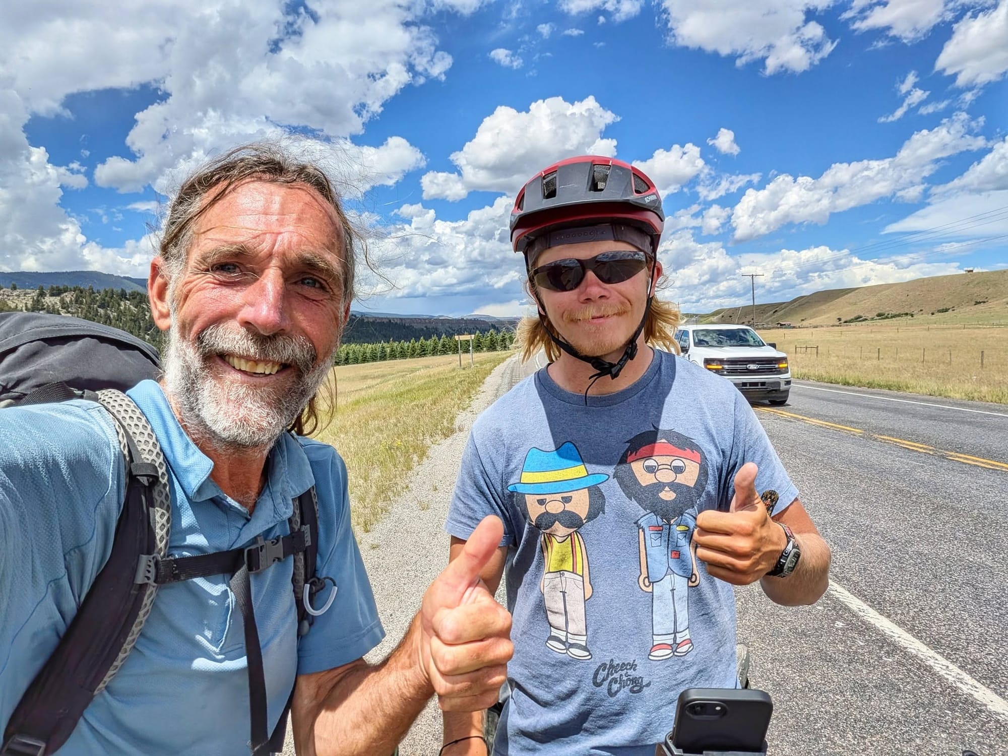
By eight the next morning Bernie was past the old slide and charging his phone at the Driftwater Resort, ringed by snow-capped peaks and fishermen. The Anaconda-Pintler Wilderness stood to the north, whiter than any range he'd crossed in the Rockies so far. He met a second walker, Jeremy, who had set out from LaPush on the Washington coast three weeks earlier heading east, and had spent three of those days pinned in a biker camp by the same storm.
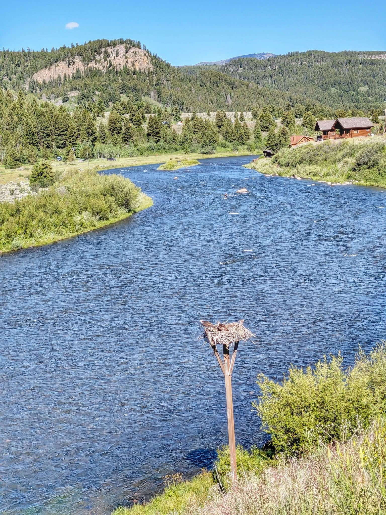
His feet dried out in the morning and soaked through again by afternoon. A fisherman drifting past called up to ask if he wanted a fish. A bald eagle worked the river; a moose and her calf stared him down beneath a rainbow thrown across the snow. He reached a campground outside Ennis at ten at night, forty-four miles behind him.
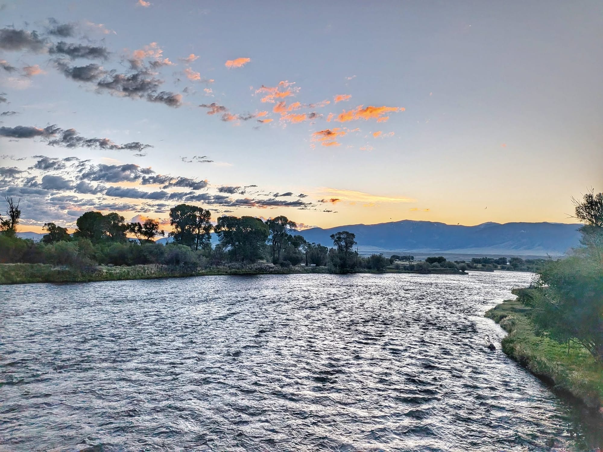
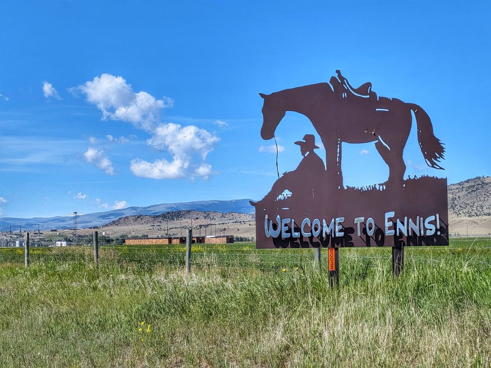
The First Real Day of Summer
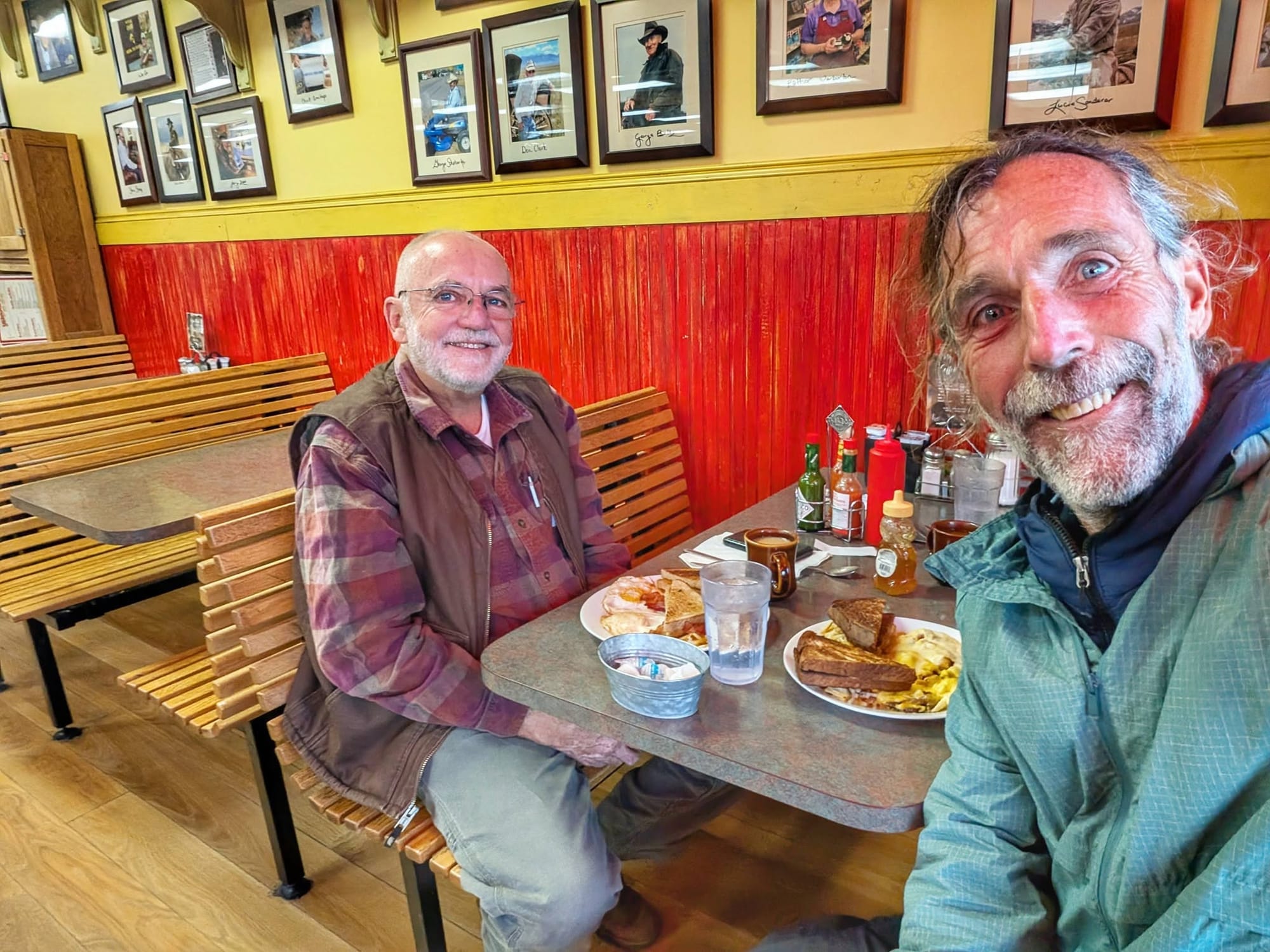
Bernie crossed the Madison River into Ennis and ate at the pharmacy that doubles as a diner. A man named Charlie, from Iowa, sat down like he'd been waiting for him, talked like an old friend, and paid for the country omelette. Bernie resupplied, reworked the miles ahead with John back at Hiking America, and started late up eight miles of highway.
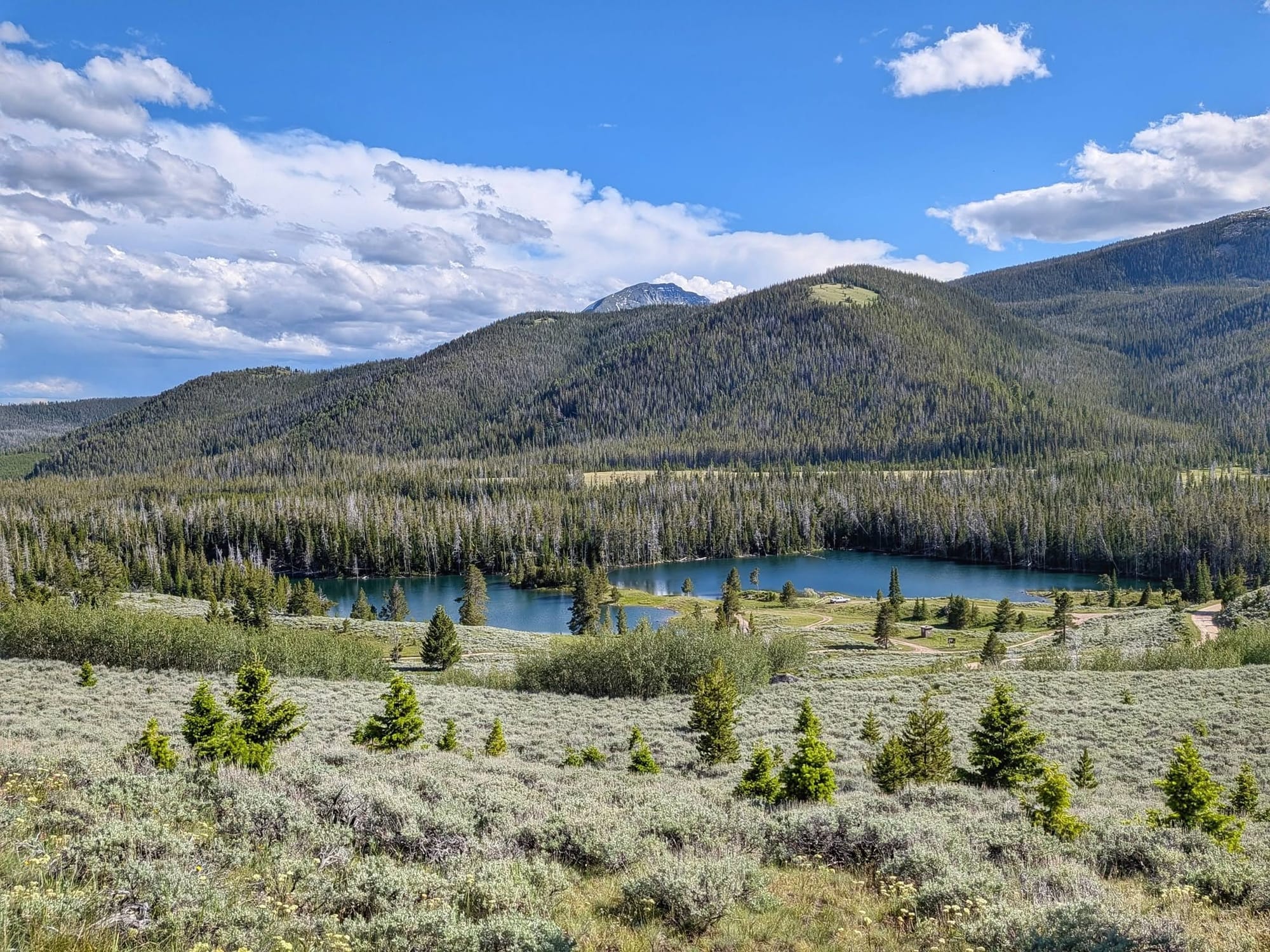
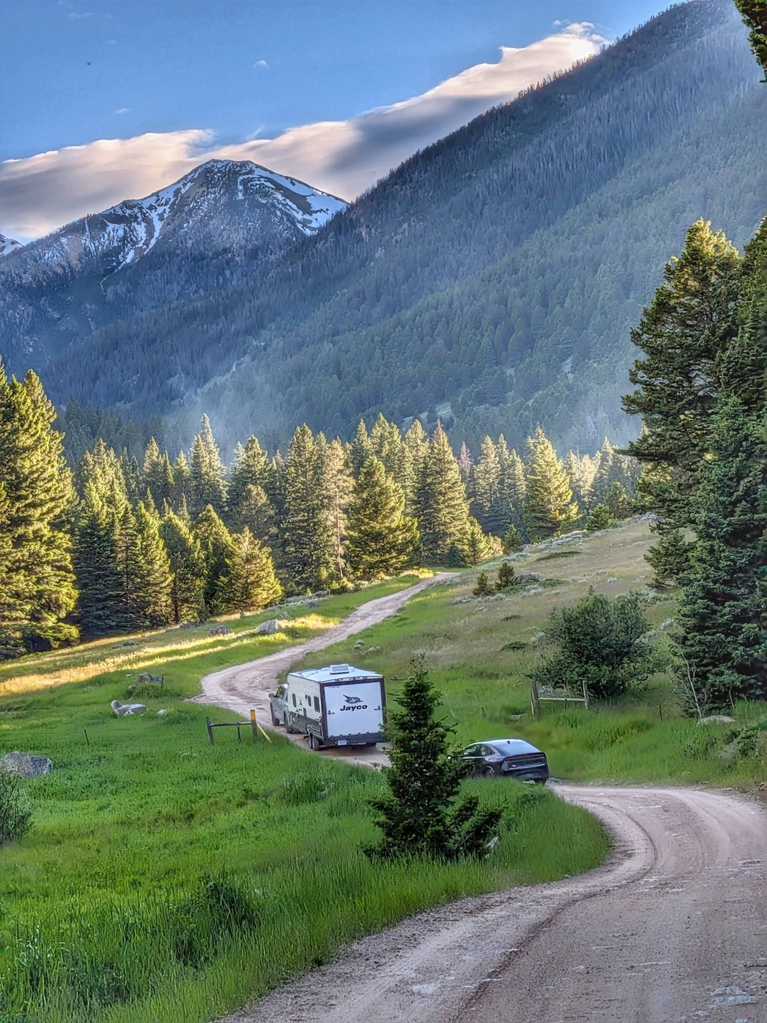
Pronghorn grazed the valleys. Up in the ranchland he fell into talk with a local named Rosco, who said that ever since a fire on the Idaho–Montana border pushed CDT hikers into these mountains, walkers had grown more common out here — though Bernie was the first he'd seen all year. He climbed onto Forest Service land along North Meadow Creek, past grazing cows and two subalpine lakes, up to 7,500 feet and down a steep ATV track to Willow Creek, where RVs had claimed the good sites for the Fourth of July. Woodpecker chicks screamed from nest holes in dead aspens. The cold was gone at last; it was, he wrote, the first real day of summer — and he spent it climbing into the Tobacco Root Mountains, topping 8,600 feet by ten at night. Thirty-one miles.
Forty-Five Miles by the Light of Venus
Bernie started July 3 climbing a steep jeep track in the cold, warm within a few switchbacks. A Clark's nutcracker called from a stand of whitebark pines near the top — a high-country bird that buries pine nuts by the thousand and, in the ones it forgets, plants the next generation of trees.
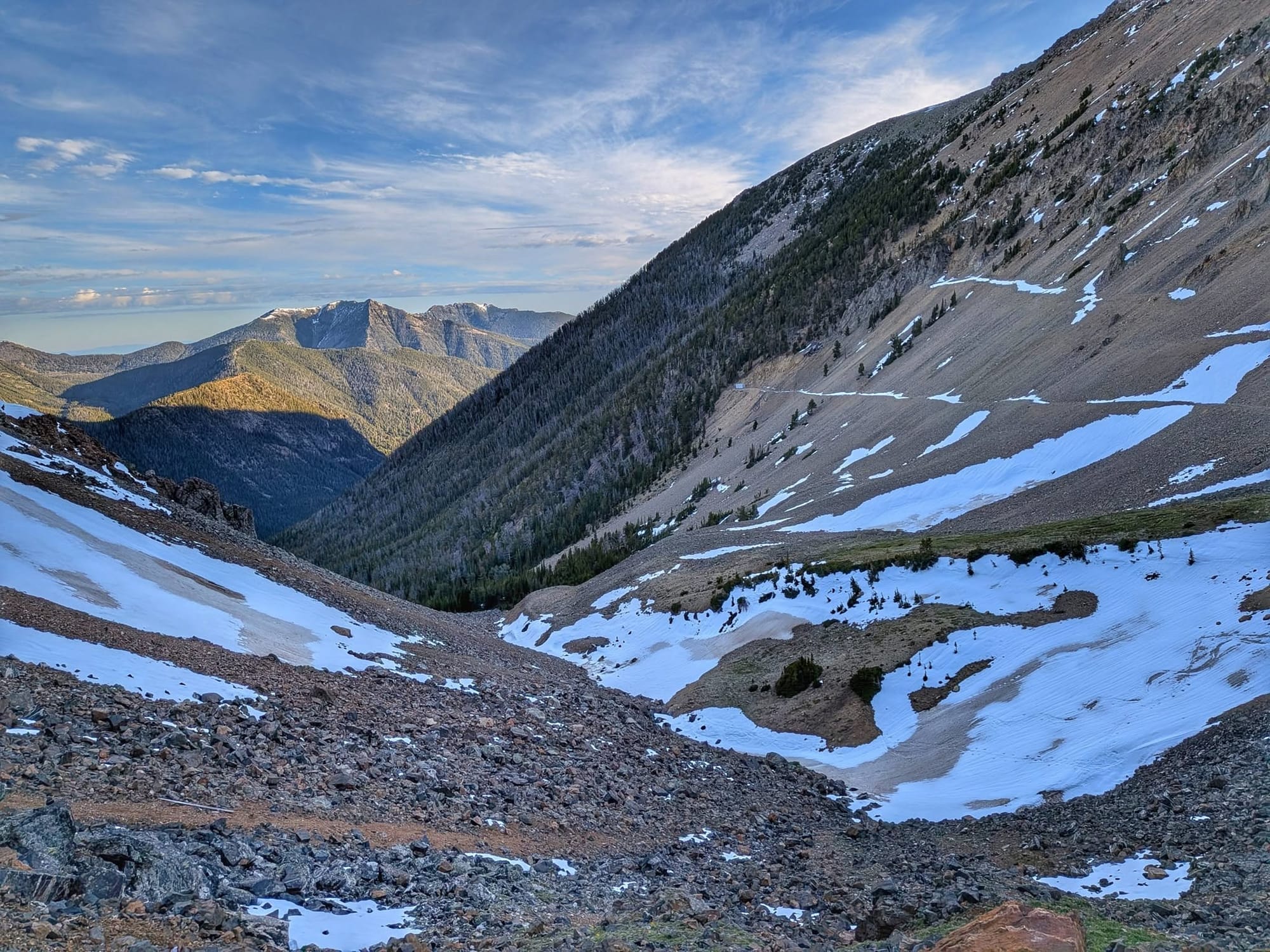
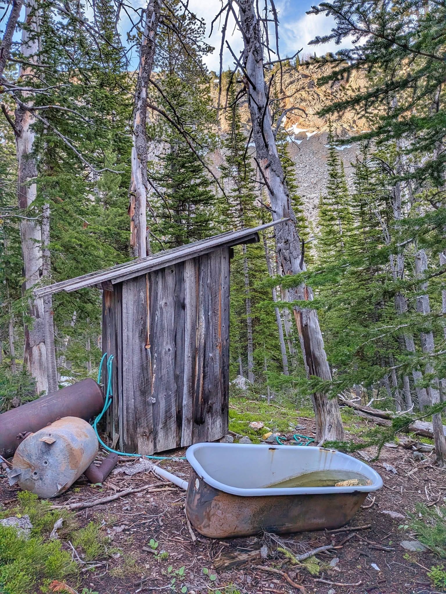
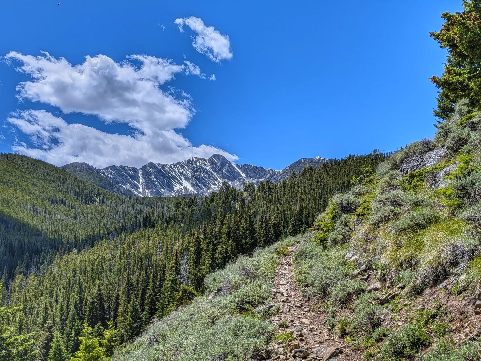
The track topped out at a 9,460-foot pass still holding patches of snow. It was cut a century back to reach the Nicholson Mine high in the Tobacco Roots, and lower down Bernie passed the collapsed cabins of the camp that once worked it.
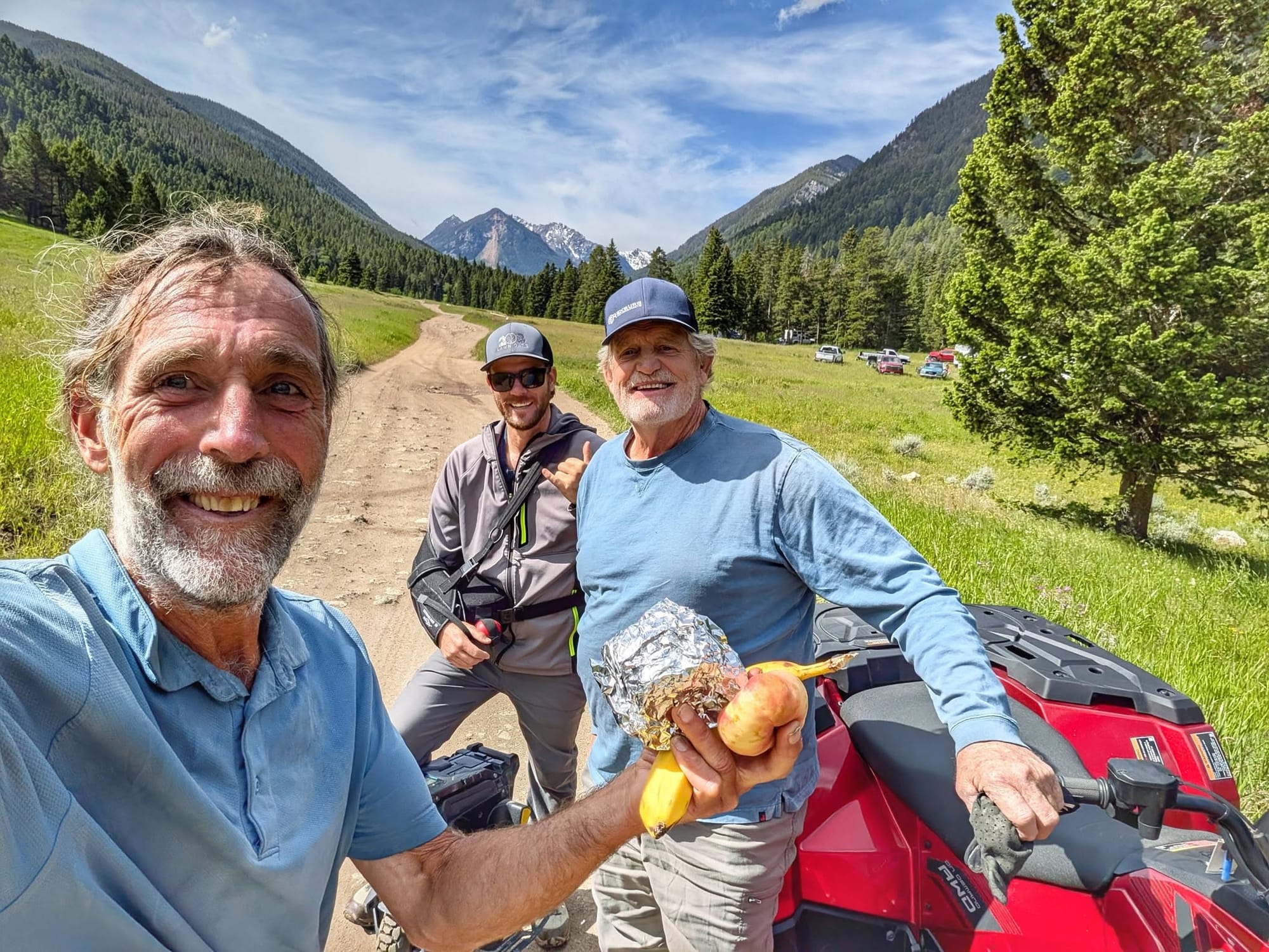
In the valley he met Paul and Denton from Rexburg, who turned trail angel with fruit and Rice Krispies treats. The little mountain community of Mammoth sat nearby, two cabins up for sale.
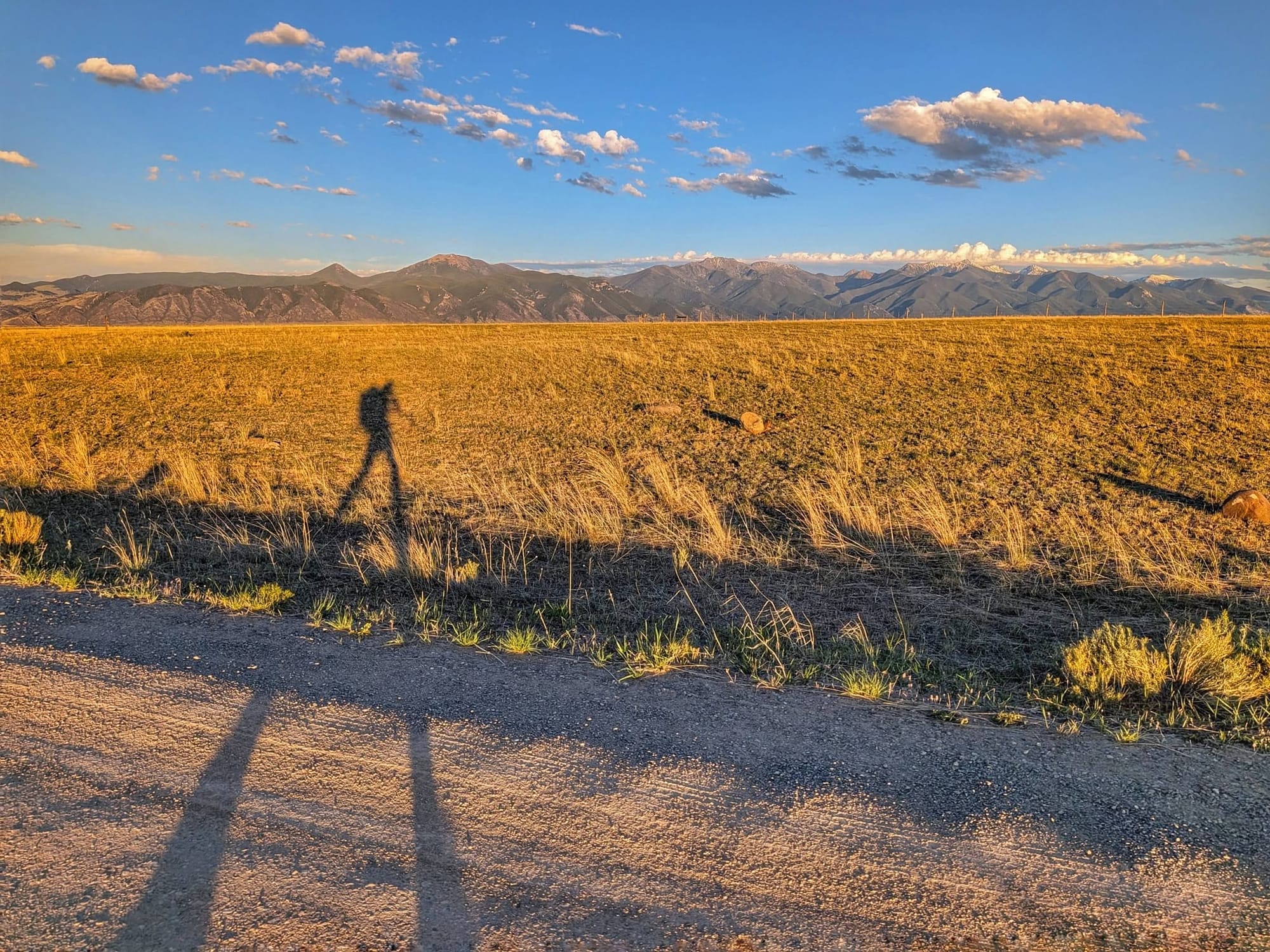
Then the Rock Creek Trail carried him up and over another range and dropped him twenty miles on toward the next wall of mountains, in the Beaverhead-Deerlodge National Forest. He walked into the dark and kept walking — roughly forty-five miles, seventeen hours on his feet, finishing near eleven at night with Venus for a headlamp until almost one.
Ahead lie Butte and the long white wall of the Anaconda-Pintler, which he's betting will melt out by the time he reaches it.
—
Bernie Krausse's westbound walk is believed to be the first end-to-end foot thru-hike of the Great American Rail-Trail, and every mile he covers is building Hiking America's services map to the trail in real time.
The GPS tracks are free at hikingamerica.com;
The curated waypoints — where to eat, sleep, and resupply — are what he's verifying, one storm at a time.
Hike Your Hike - John.
[Partners]

