
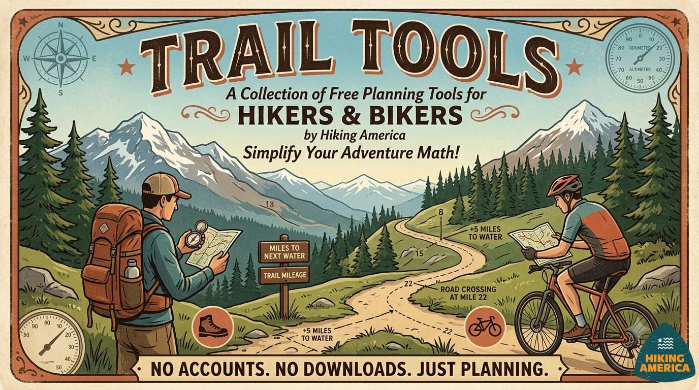
Charting the Course: Hiking America's Trail Tools
Long-distance hiking involves a lot of math. We are building Trail Tools to handle some of it for you — starting with a free GPX Distance Finder that works entirely in your browser.

Long-distance hiking (and biking, for that matter) involves a lot of math. How many miles from here to the next water source? Where exactly does that road crossing fall on the track? If I start at these coordinates, how far in am I?
Most hikers do this math on scraps of paper, in spreadsheets, or in their heads at the end of a long planning session. It works — but it takes time and focus that could go toward the parts of planning that actually matter.
So I built something to help.
Today, Hiking America is launching Trail Tools — a growing section of free, browser-based planning tools built specifically for long-distance hikers and bikers. No account required, no data collected, no app to download. Each tool runs entirely in your browser and does one thing well.
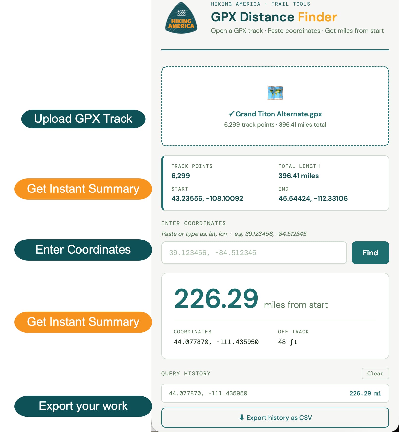
The first tool is the GPX Distance Finder.
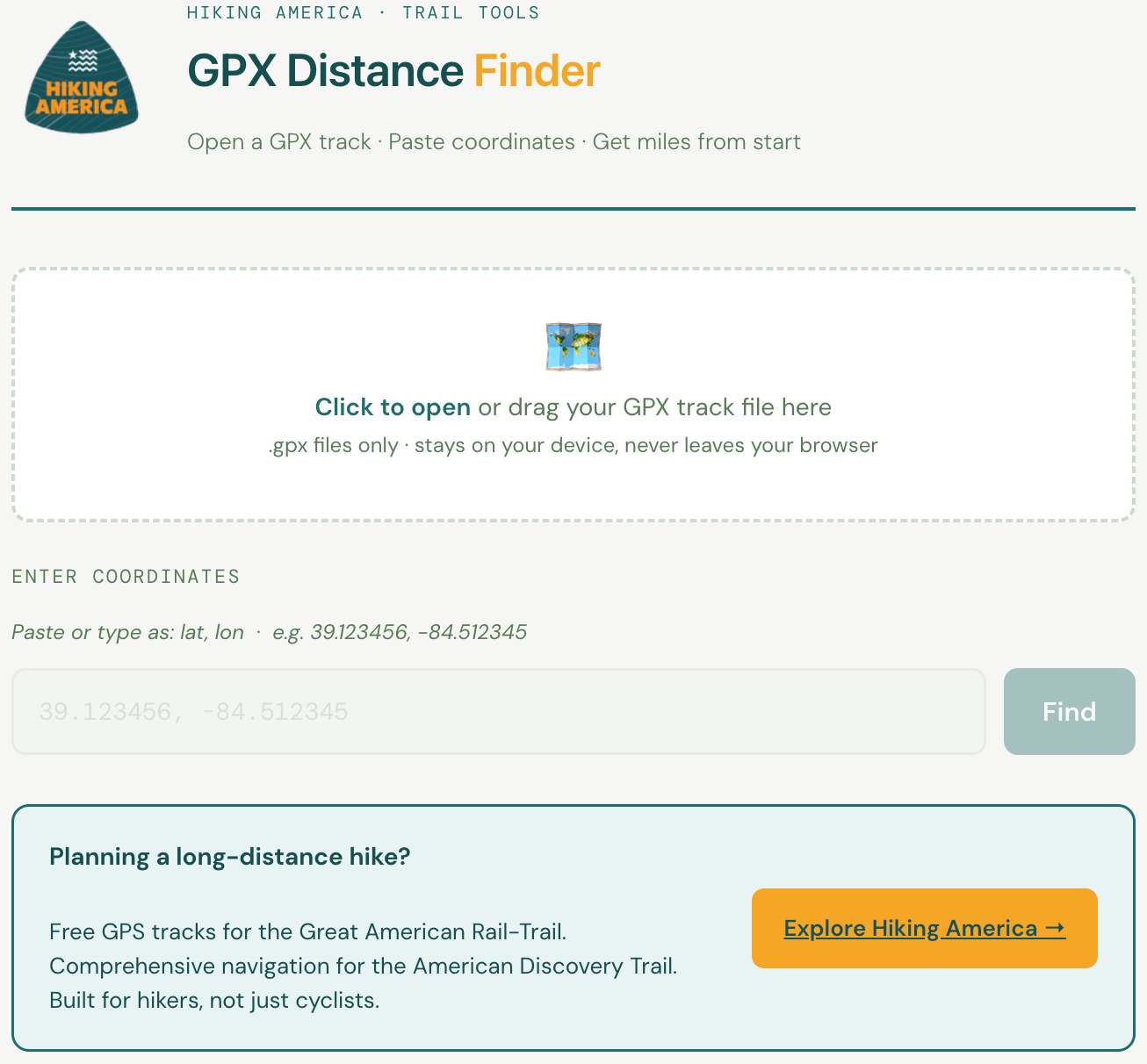
What It Does
Load any GPX track file and enter a set of coordinates — a campsite, a water source, a road crossing, a trailhead.
The tool finds the nearest point on your track to those coordinates and tells you exactly how far from the start of the route that point falls. Results appear instantly.
Run as many queries as you need, then export everything as a CSV.
Best of all –
- The GPX file never leaves your device.
- Nothing is sent to ANY server.
It's the same calculation you'd do manually with a mapping tool — just faster.
Why I Built It
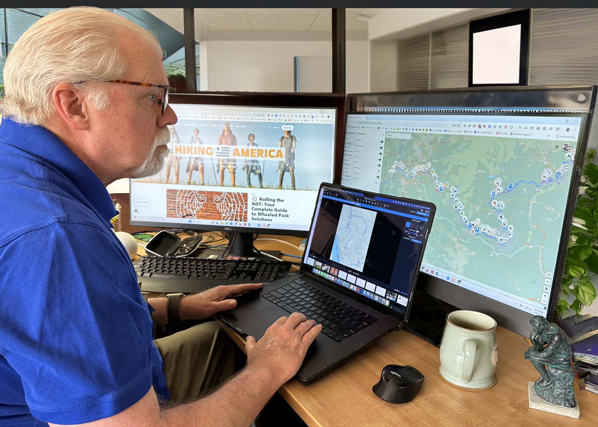
Building out navigation data for the American Discovery Trail and the Great American Rail-Trail means placing hundreds of waypoints accurately along thousands of miles of track. The question I ask most often is: how far along the route does this point fall?
I was doing that math manually every time. Now I'm not, and neither do you.
What's Coming Next
The GPX Distance Finder is the first tool in what I'm planning to grow into a full Trail Tools library. Tentative ideas on the board: a hiking pace and completion calculator, a resupply interval planner, a pack weight tracker, and more. Each one will be free, browser-based, and built around the specific planning questions long-distance hikers actually face.
If there's a calculation you find yourself doing repeatedly while planning a long route, I'd like to know about it. – john@hikingamerica.com
Try It Now
The GPX Distance Finder is live.
So is the Trail Tools section — where new tools will be added as they're built.
Both are free. No login, no strings.
If you're planning the American Discovery Trail or the Great American Rail-Trail, the trail-specific navigation resources are at hikingamerica.com
- Free GPS tracks for the Great American,
- Comprehensive navigation for the American Discovery Trail.
Hike Your Hike - John. 🥾